Caratteristica: Itinerario lungo

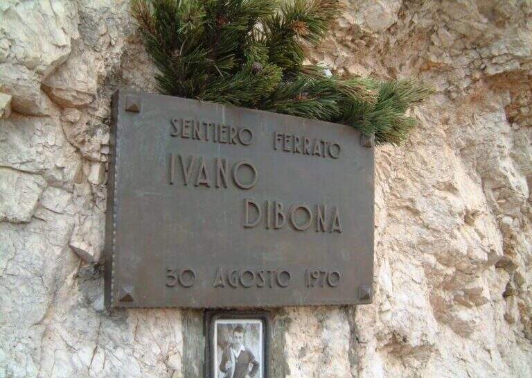
  • Ferrata Ivano Dibona al Cristallo

    Ferrata Ivano Dibona al Cristallo

    Vie Ferrate › Veneto › Belluno
    Ferrata Ivano Dibona al Cristallo
    Moderately Hard● OpenDescriptionComplexityMapsGallery

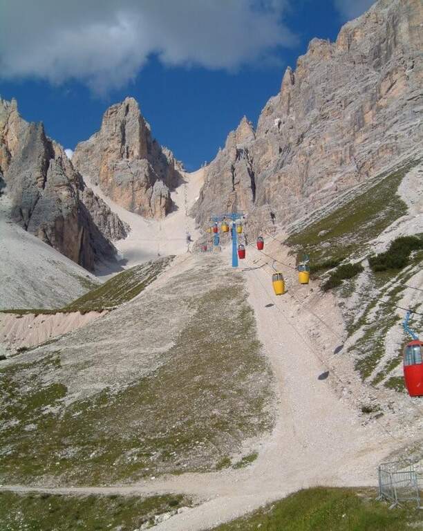
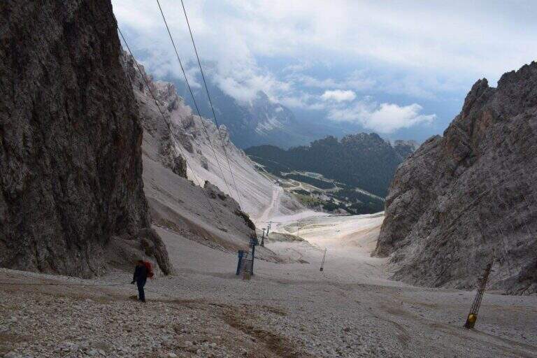
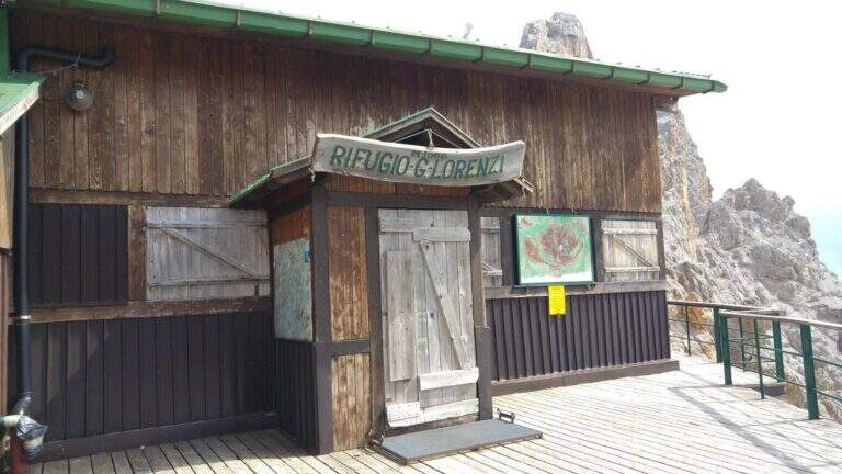
    viso Notice — The bidonvia that climbed to Forcella Staunies has been dismantled (July 2017) and is waiting for reconstruction to date to be allocated; the only way to reach the attack is today to trace the steep detritic valley of the Gran Staunies, on an unstable gravel bottom (at least 2h from the end of the chairlift). The Lorenzi refuge, at the beginning of the ferrata, is also closed. It is a long and challenging itinerary regardless: plan time and weather carefully.

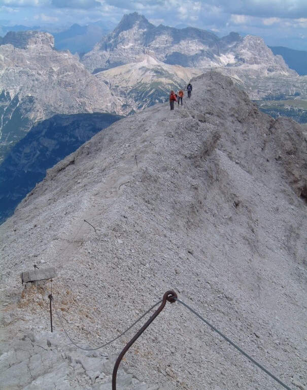
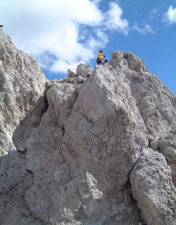
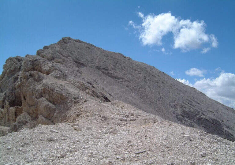
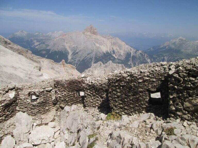
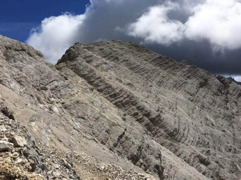
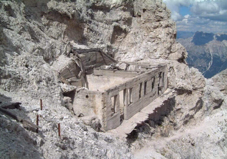
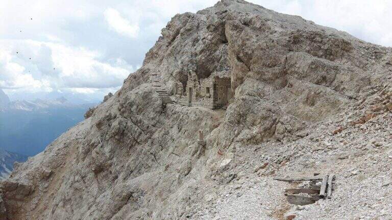
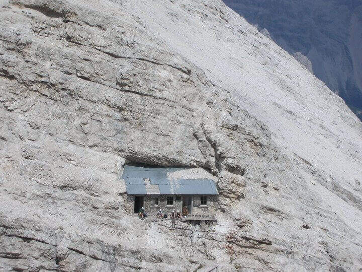
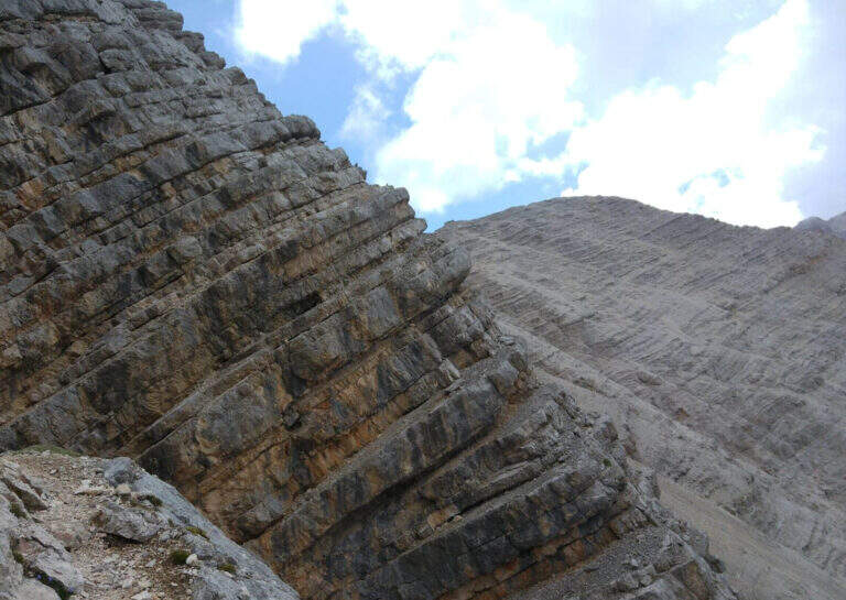
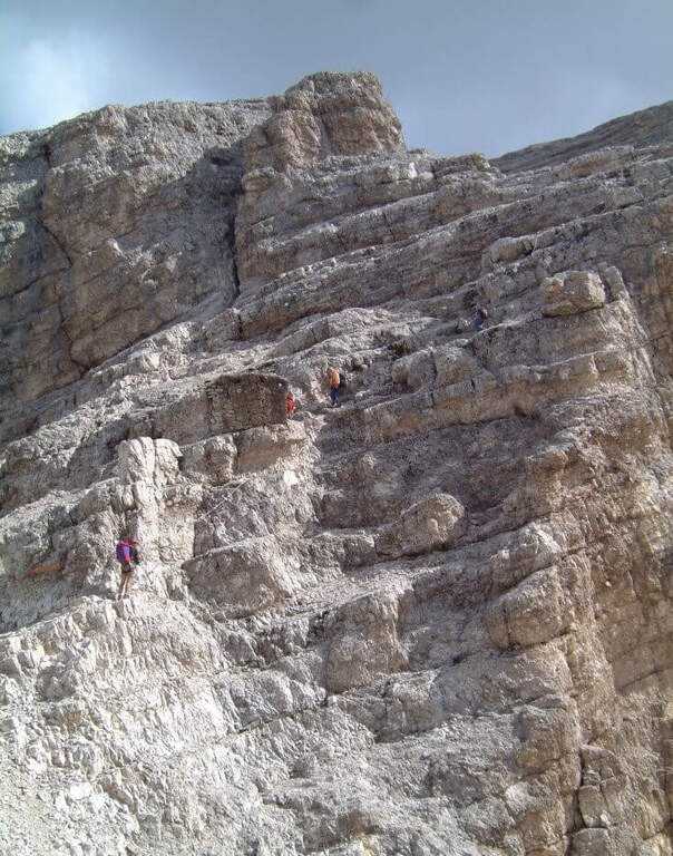
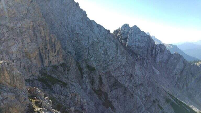
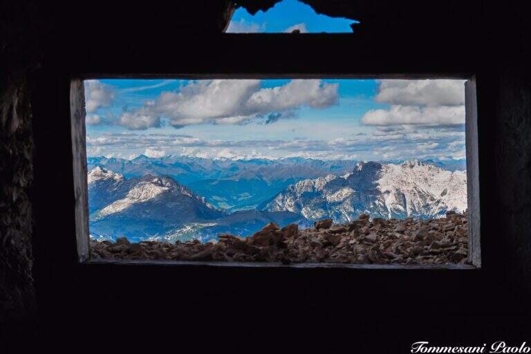
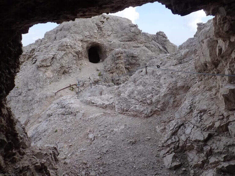
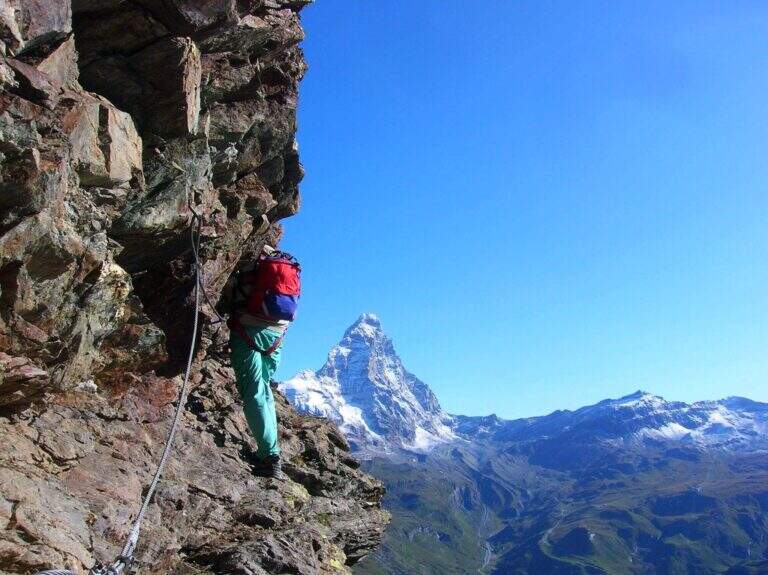
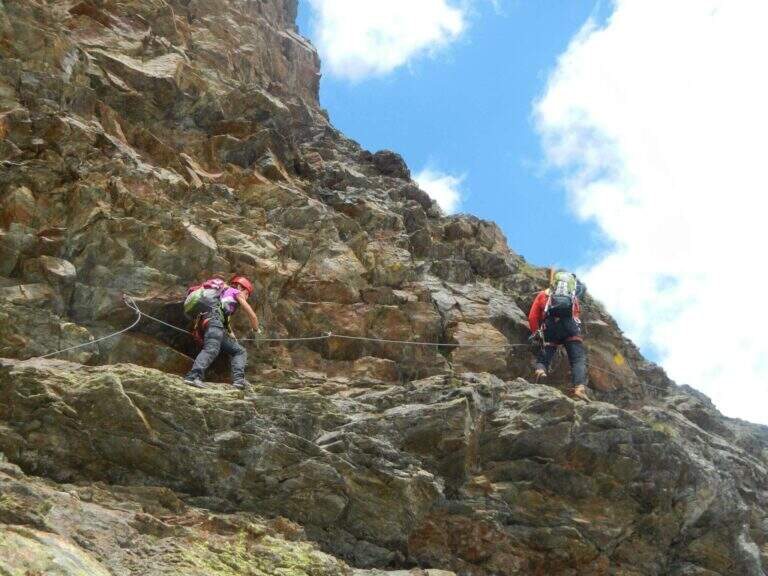
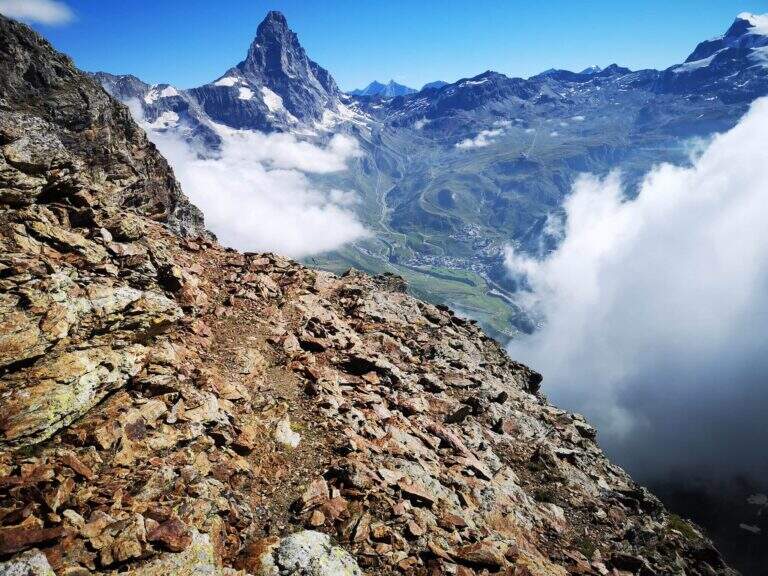
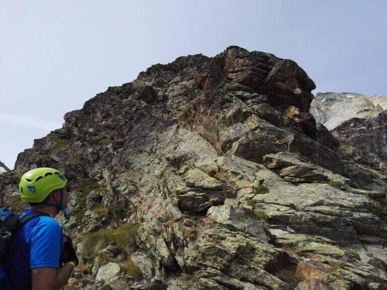
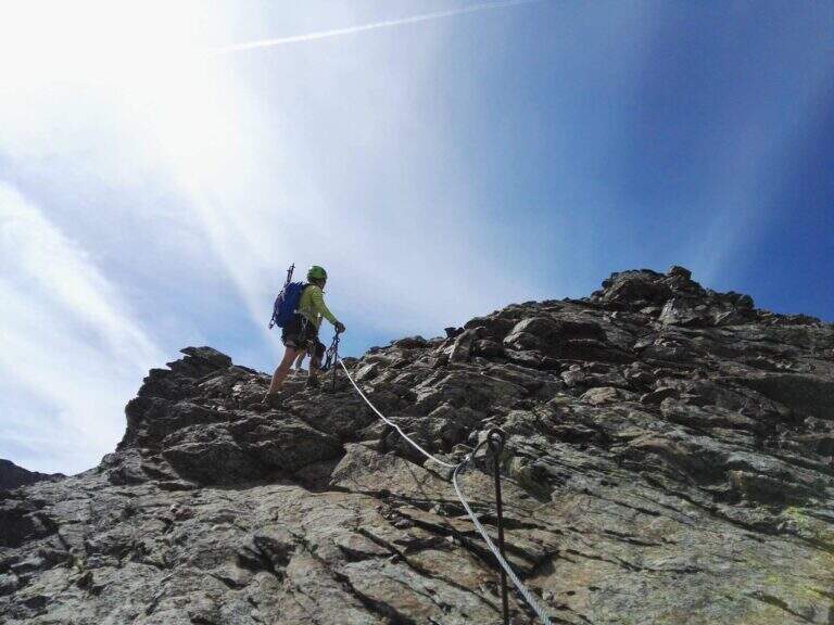
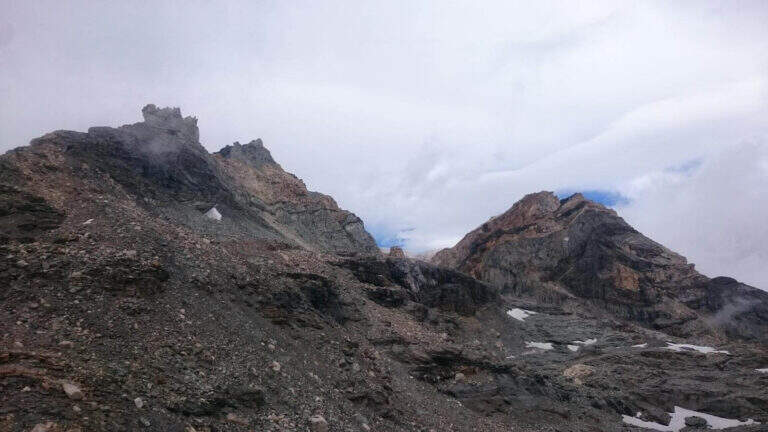
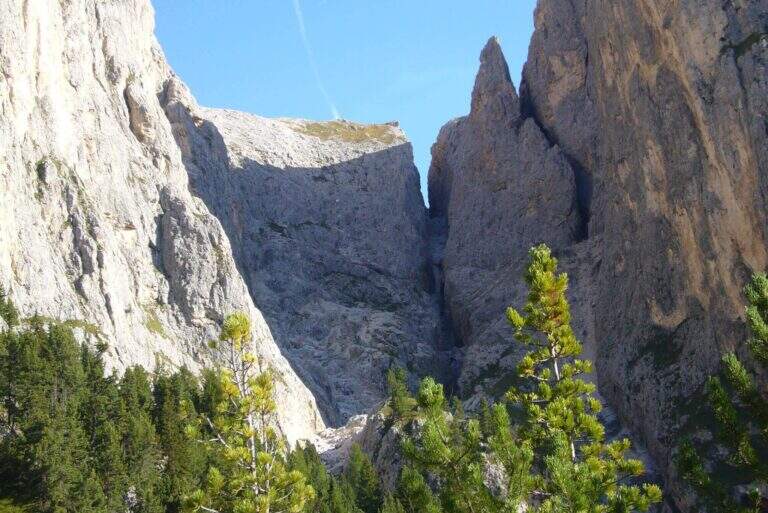
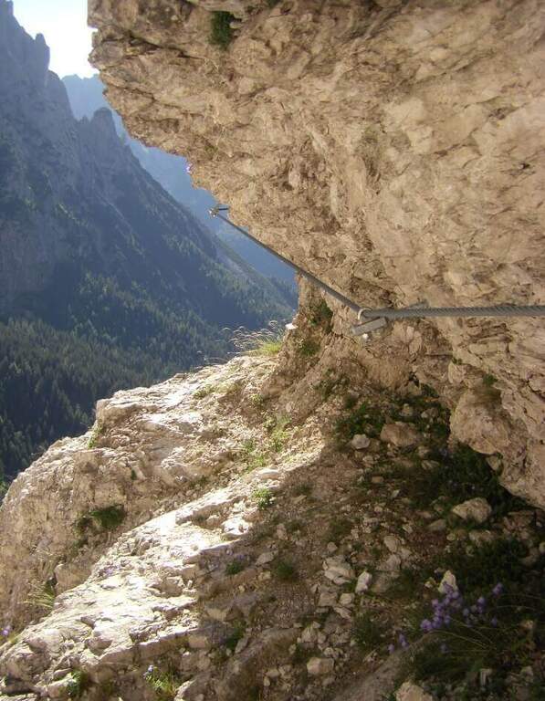
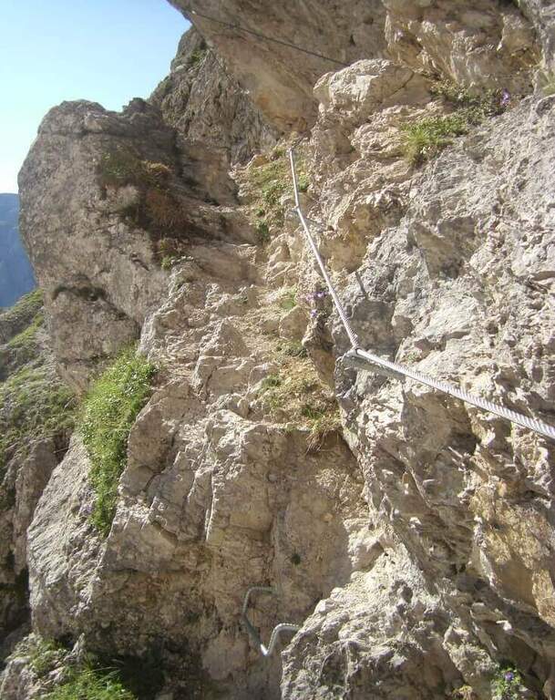
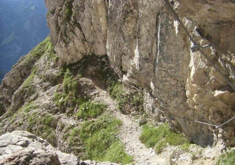
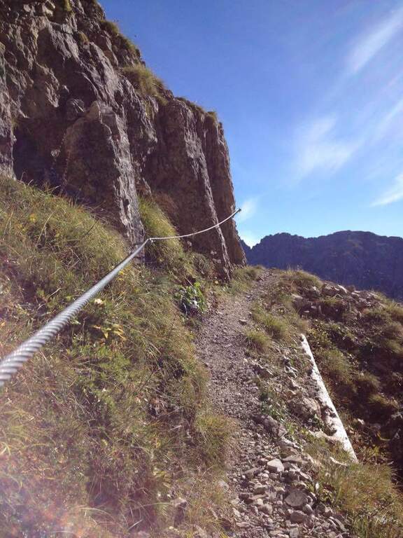
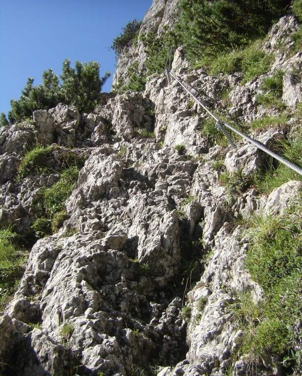
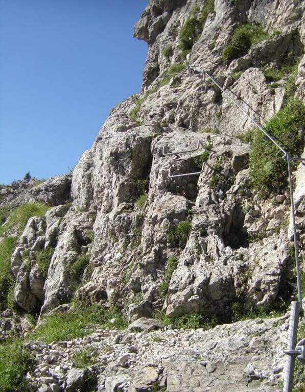
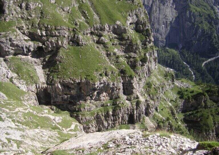
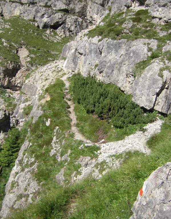
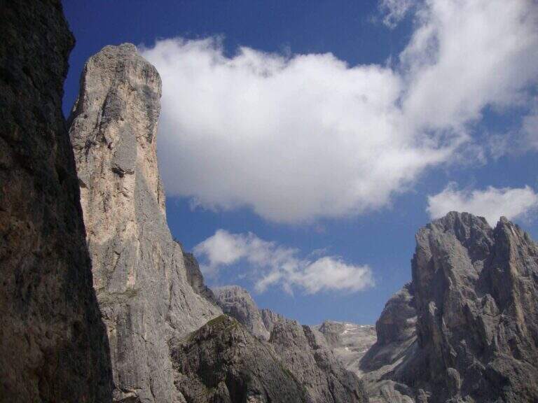
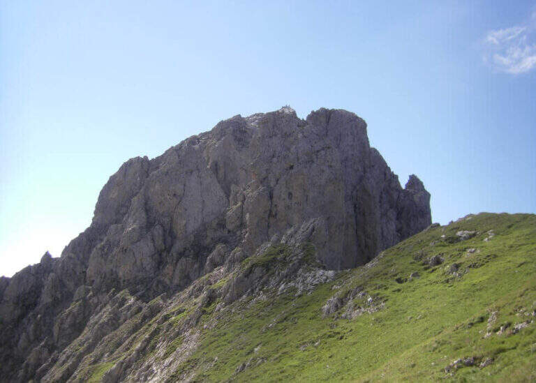
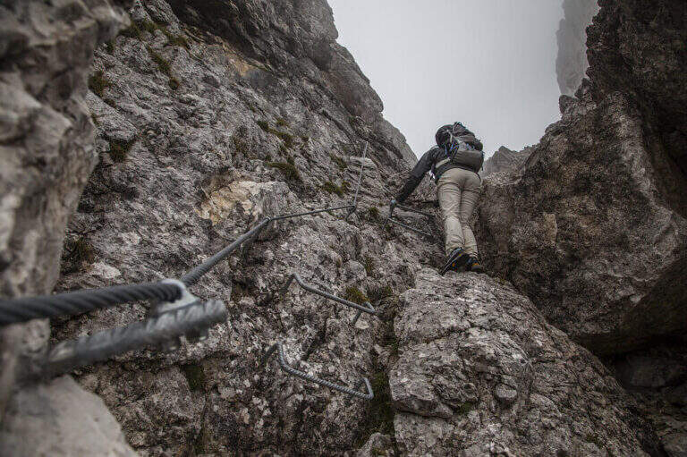
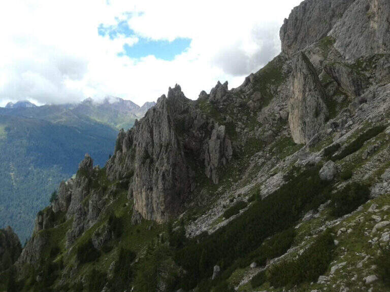
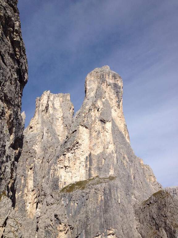
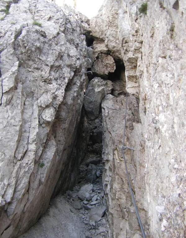
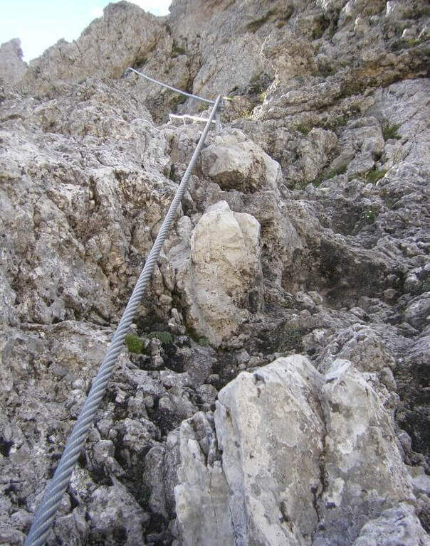
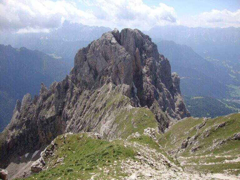
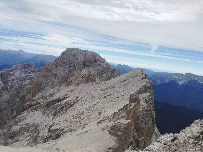
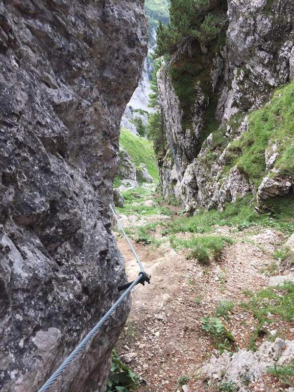
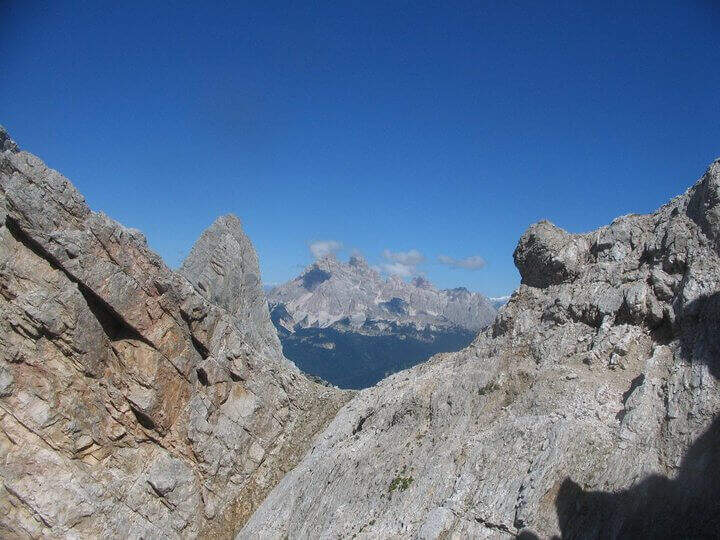
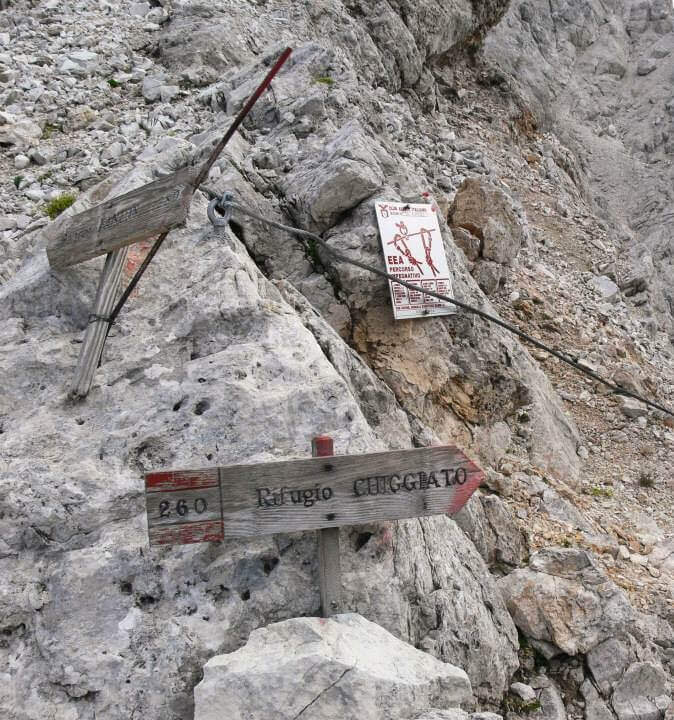
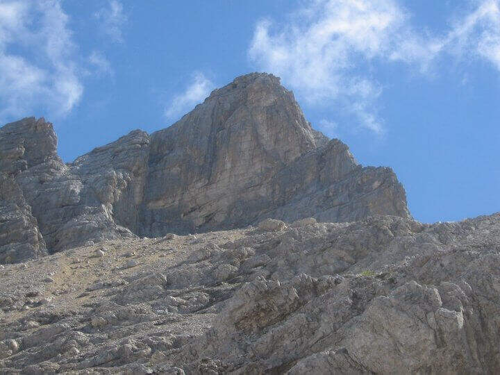
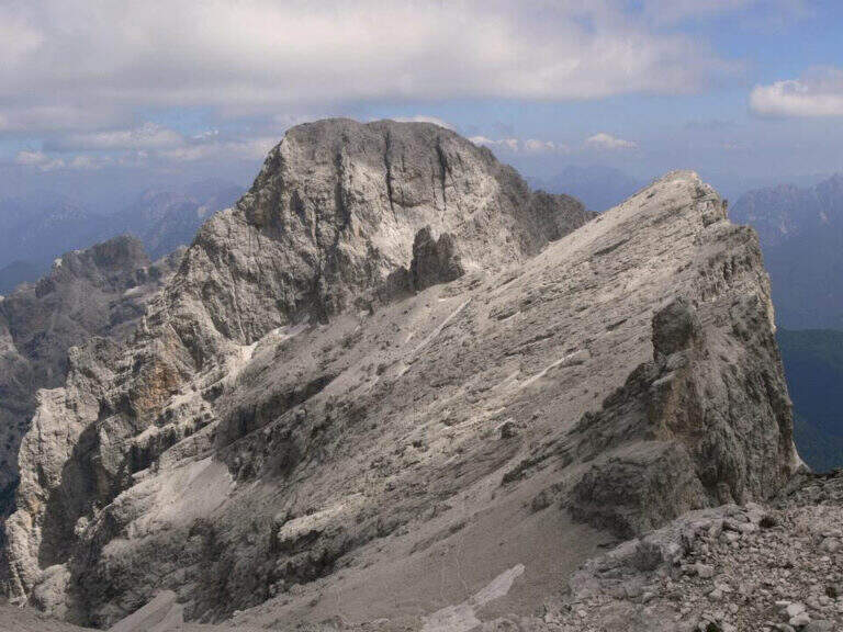
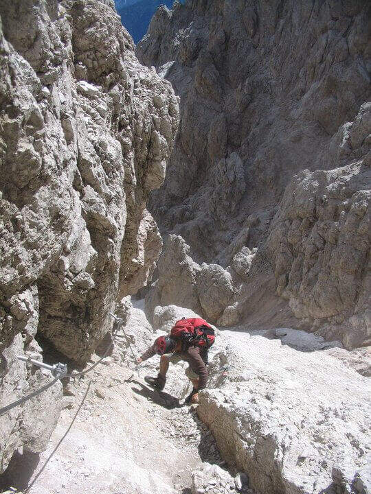
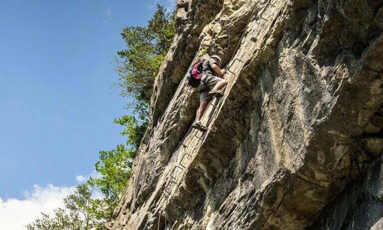
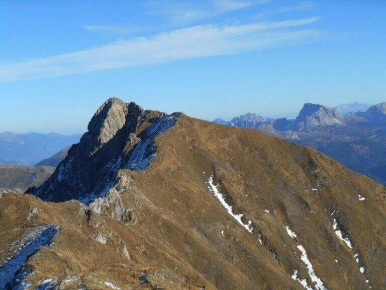
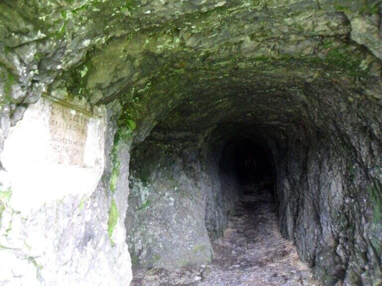
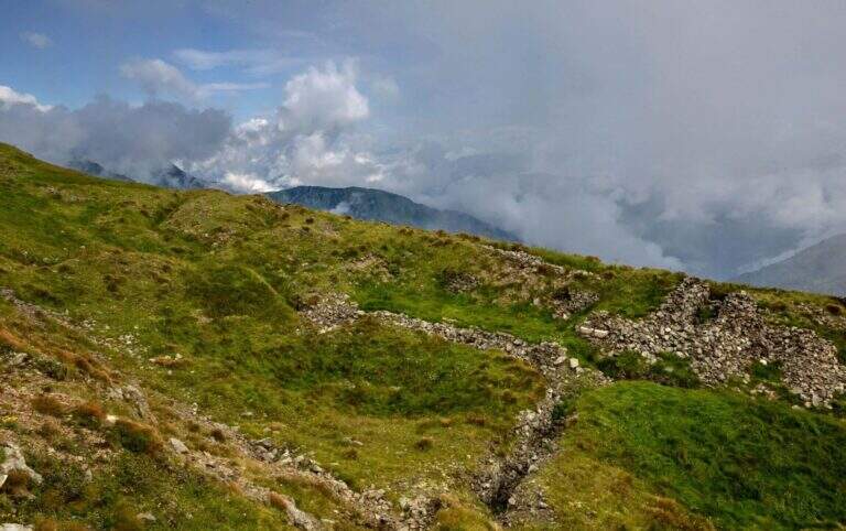
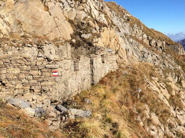
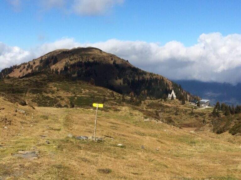
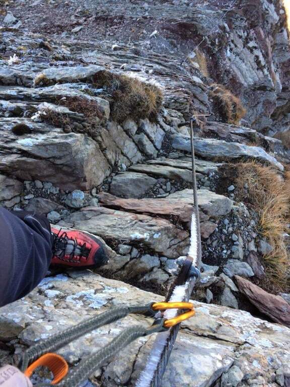
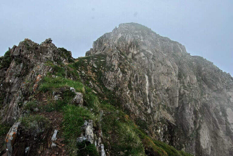
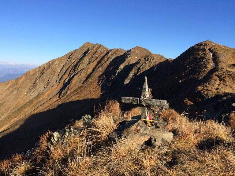
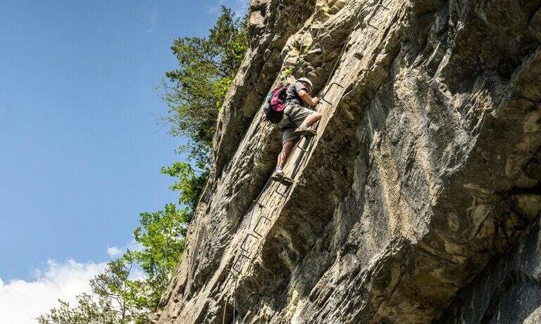
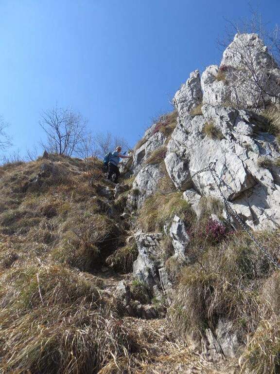
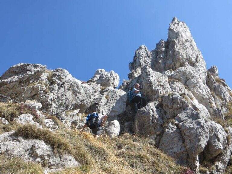
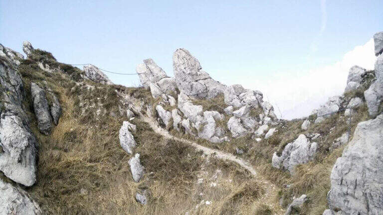
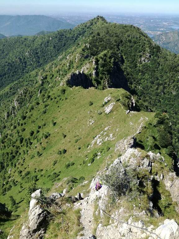
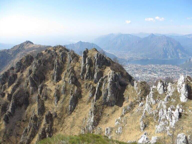
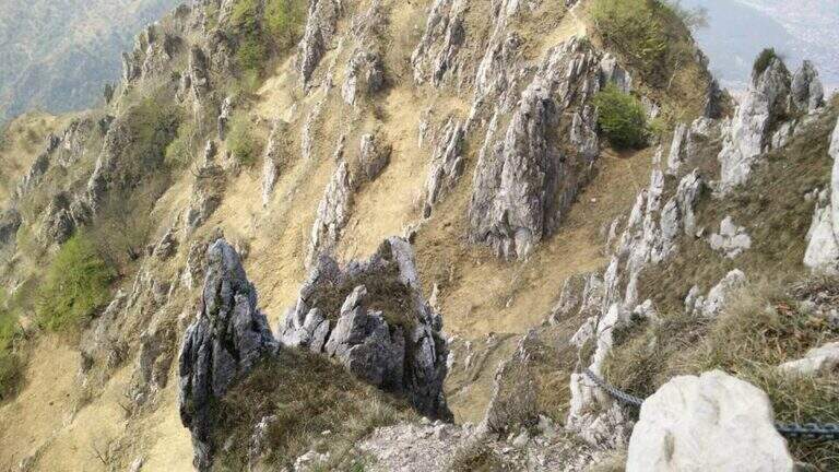
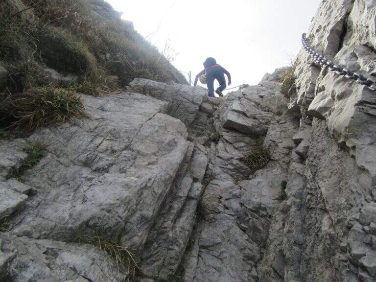
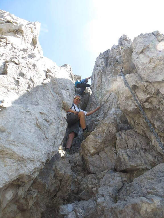
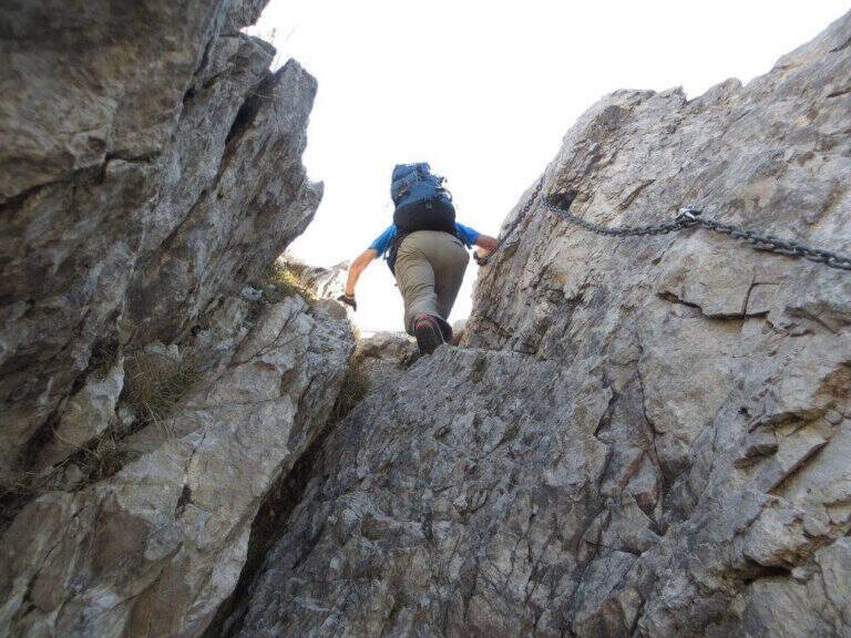
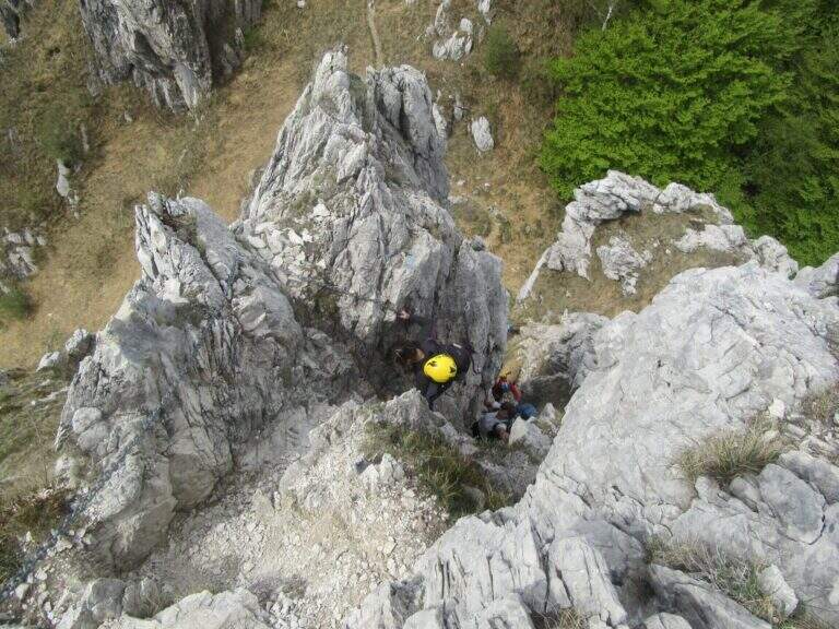
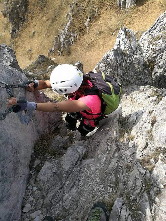
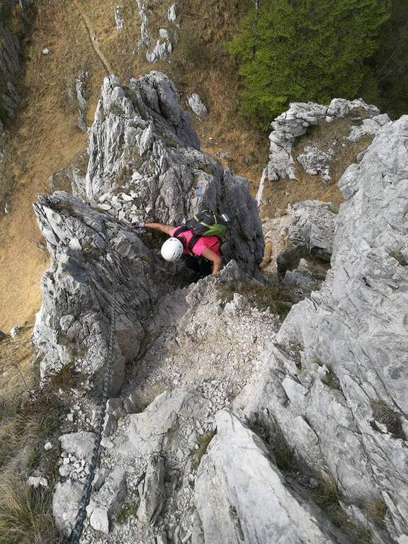
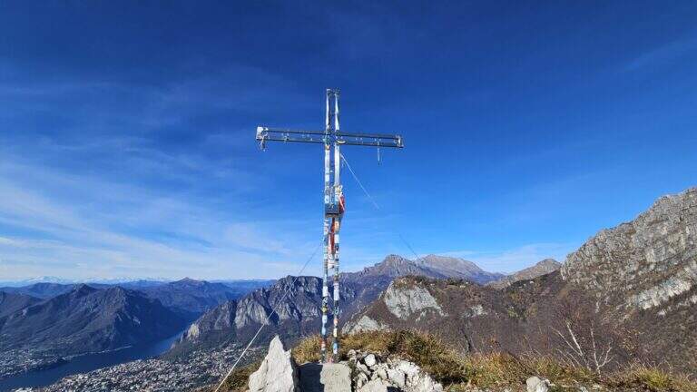
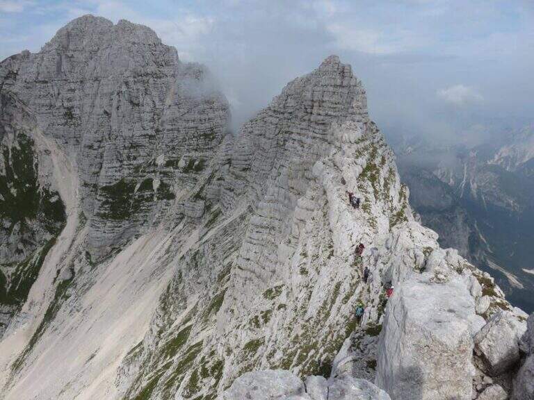
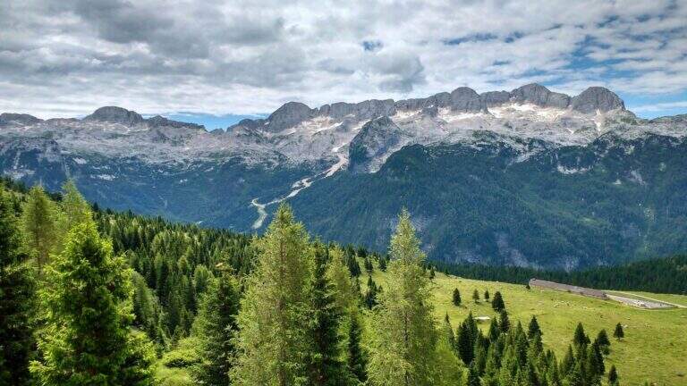
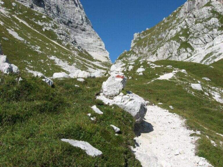
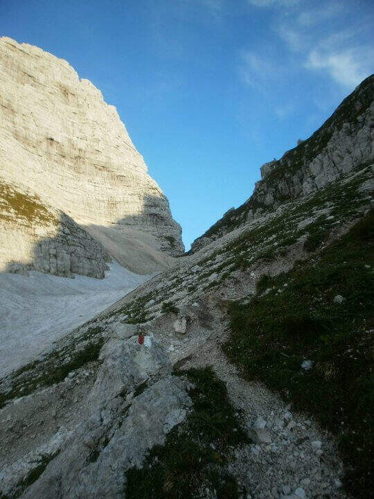
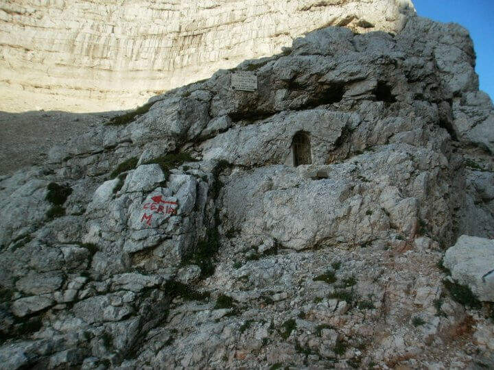
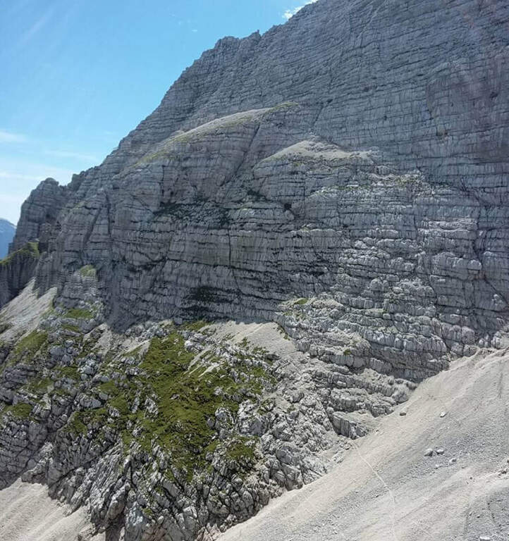
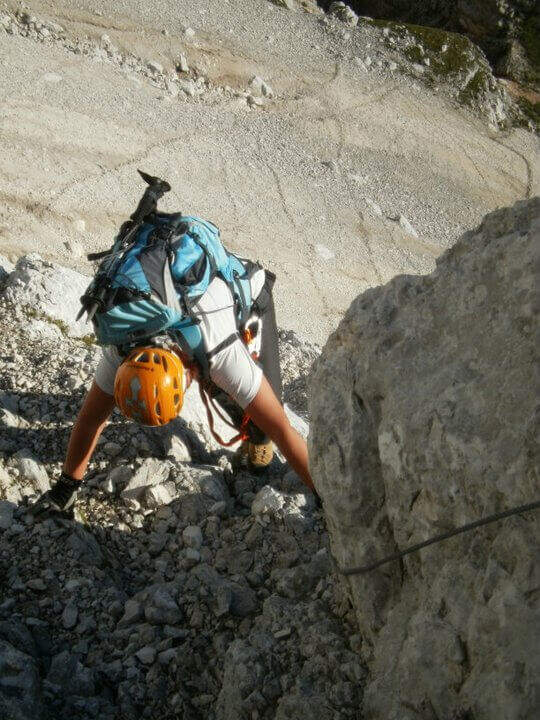
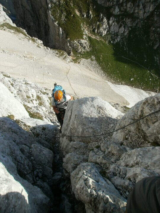
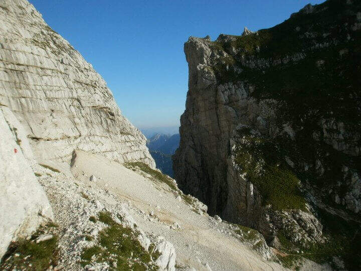
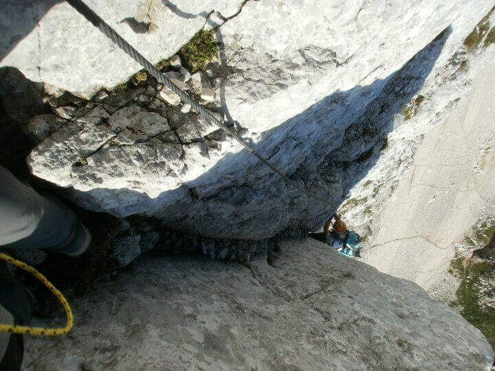
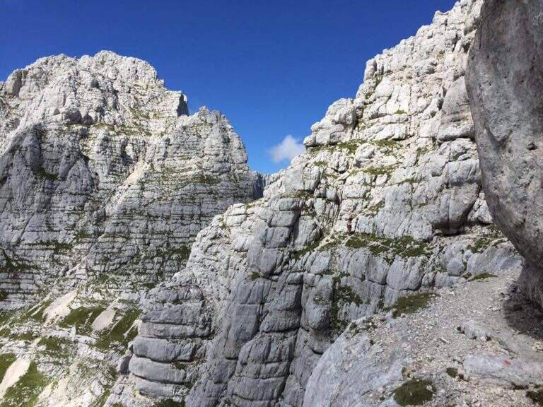
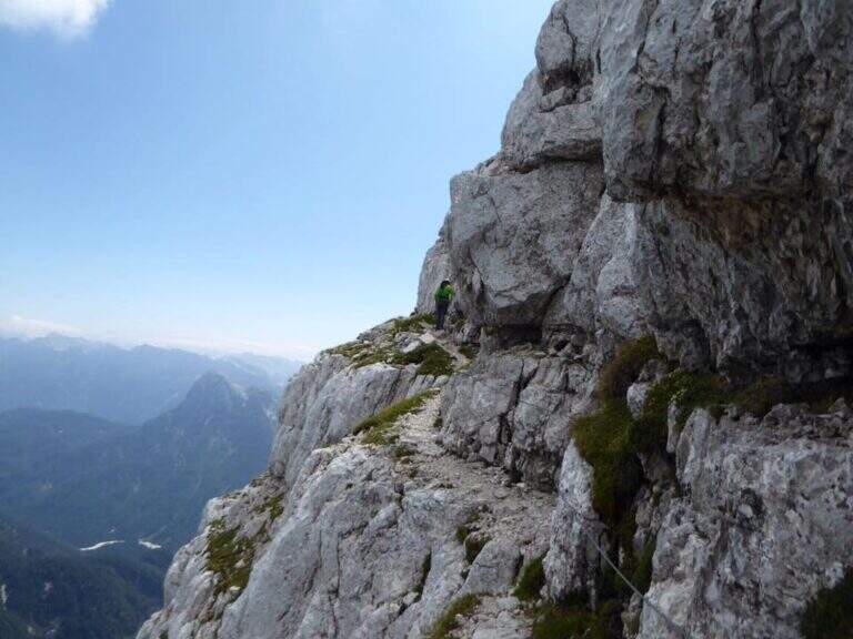
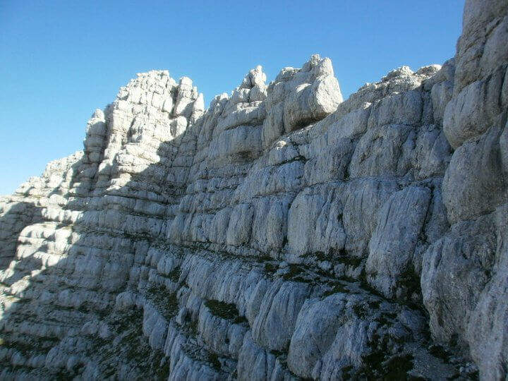
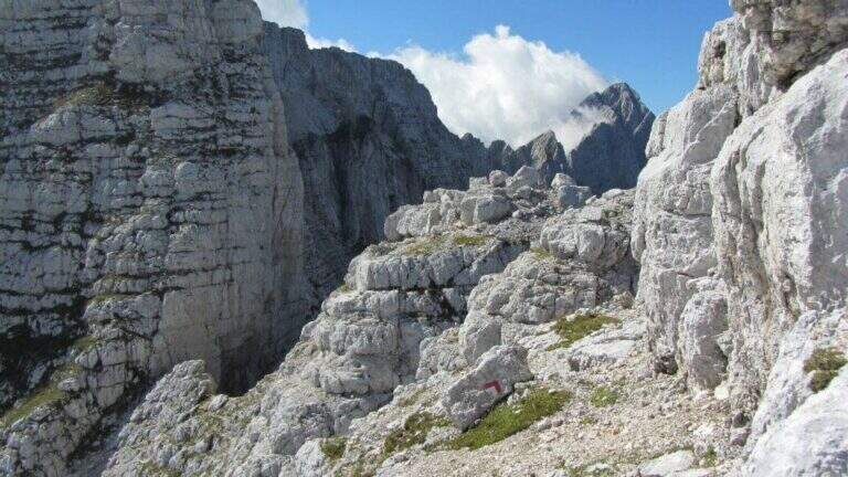
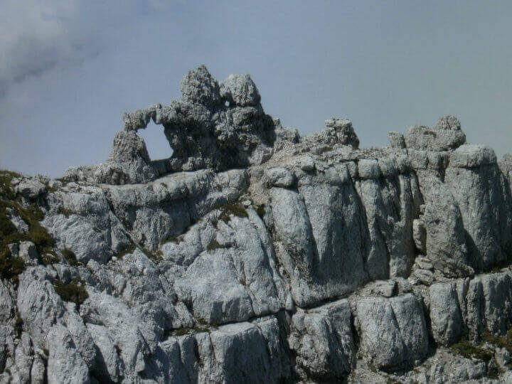
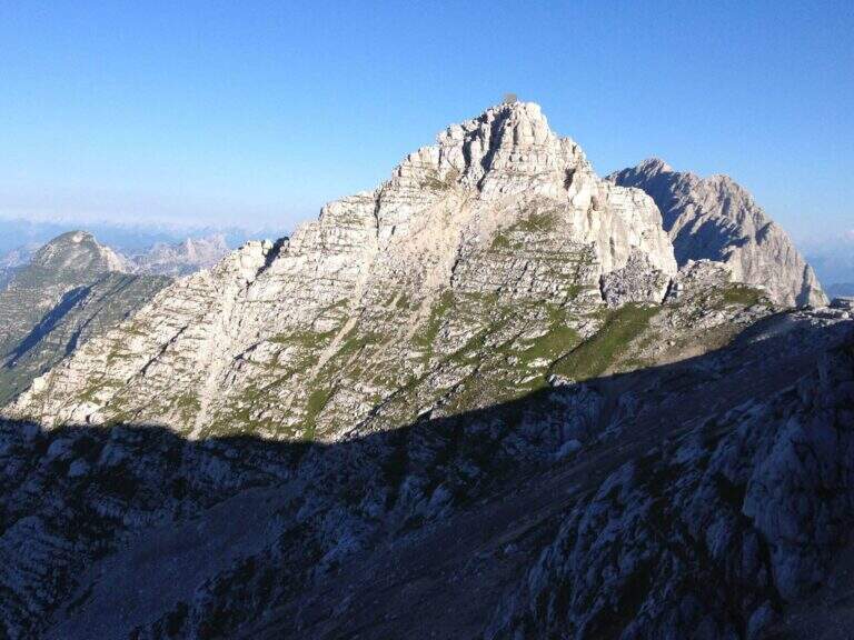
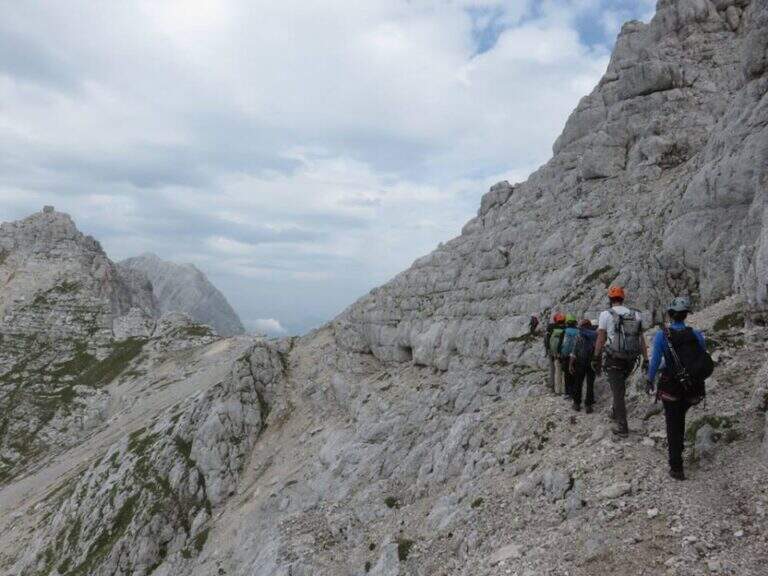
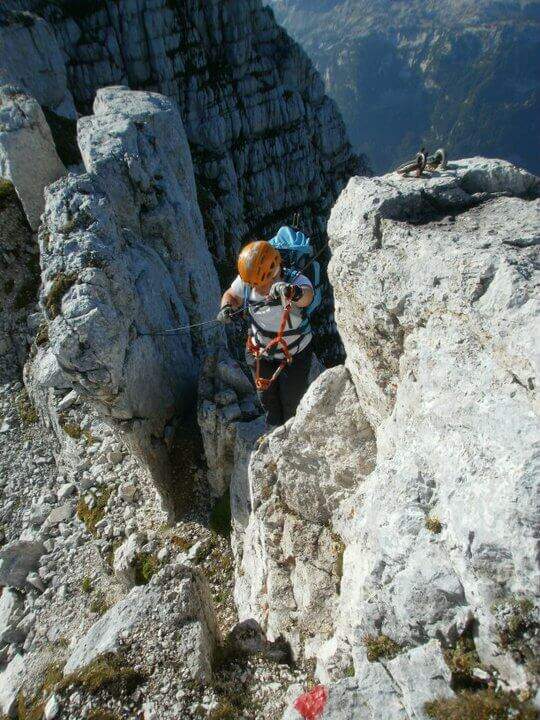
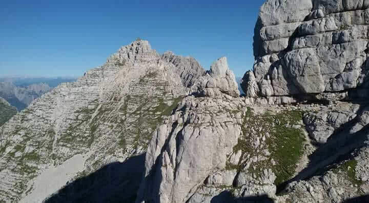
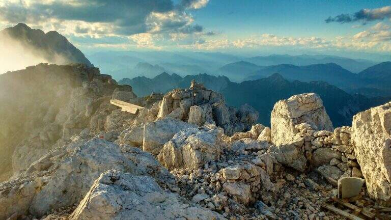
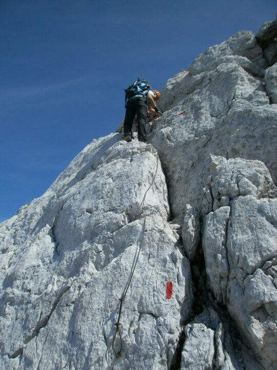
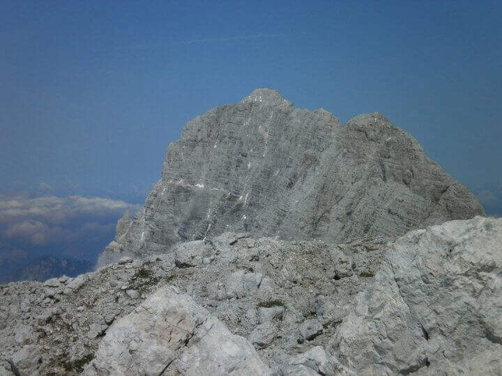
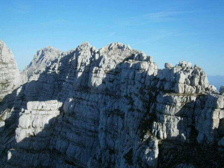
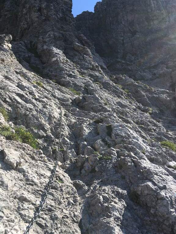
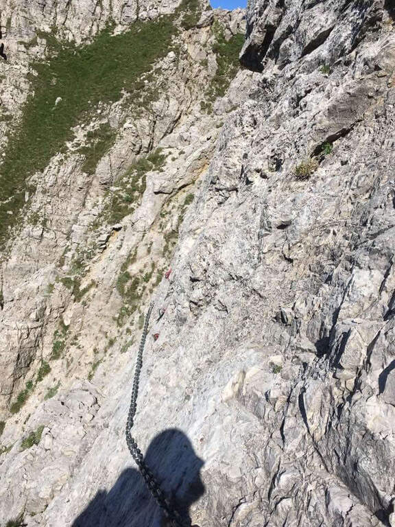
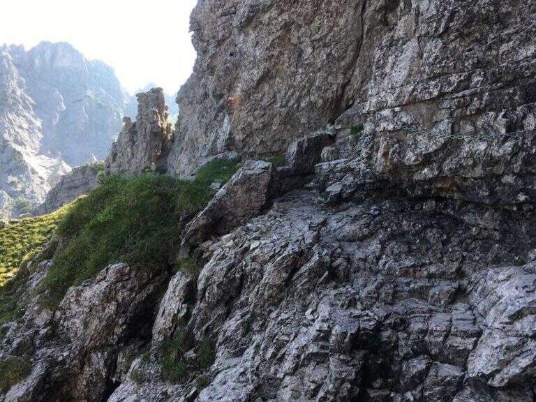
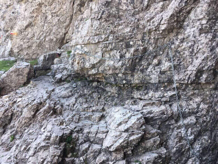
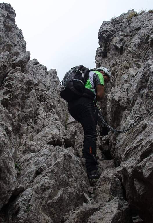
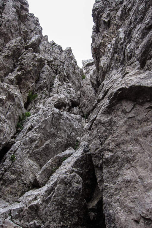
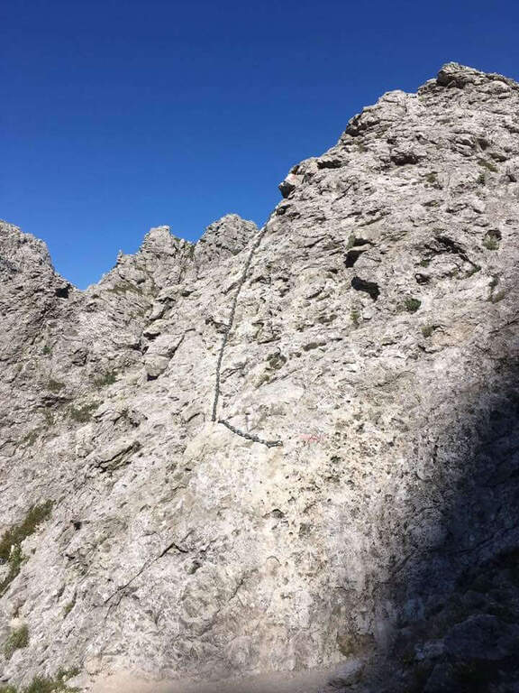
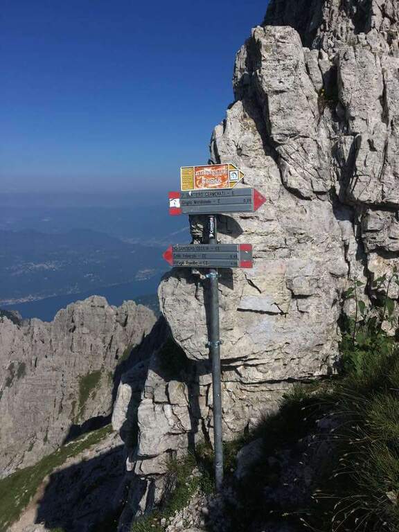
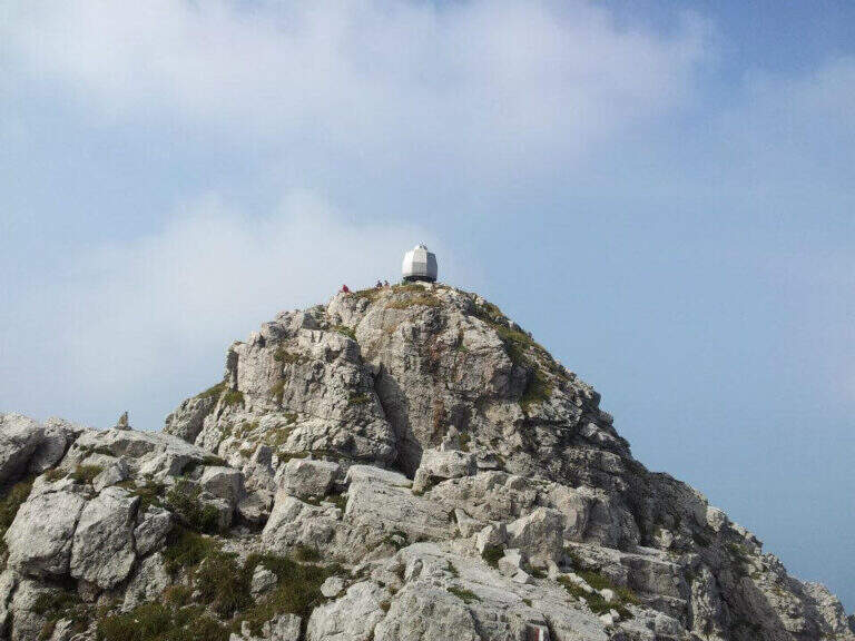
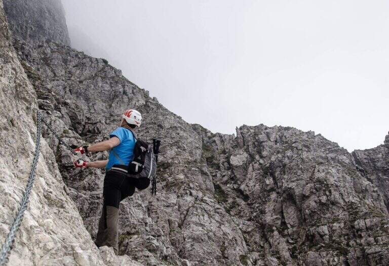
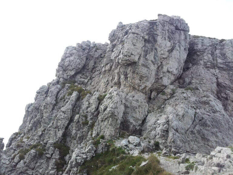
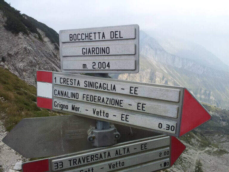
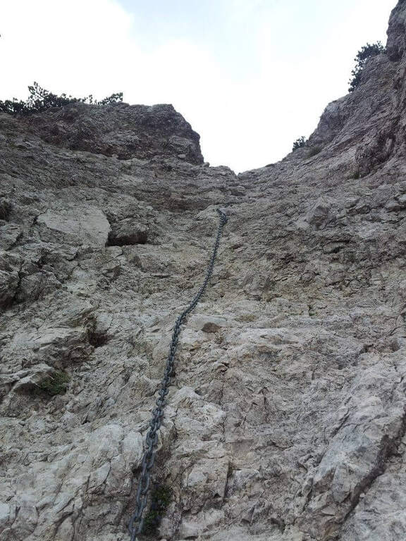
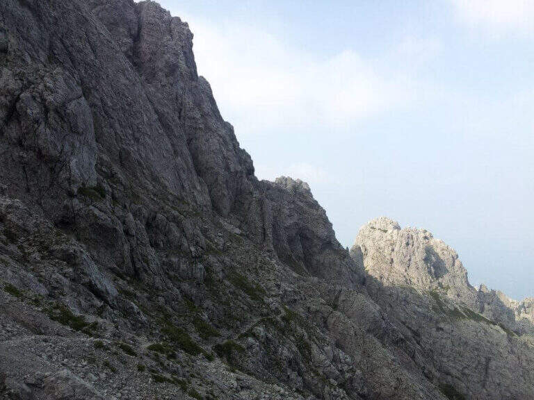
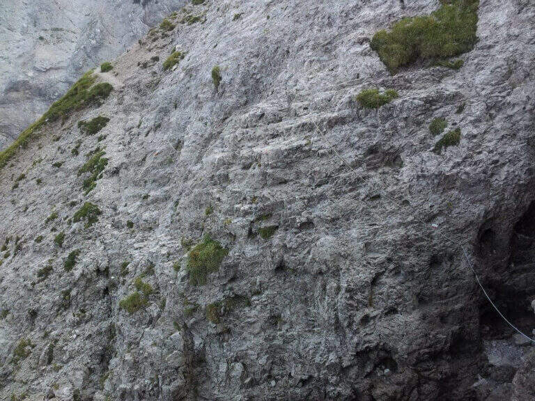
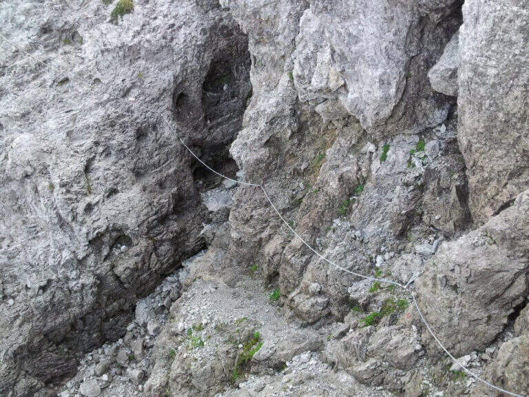
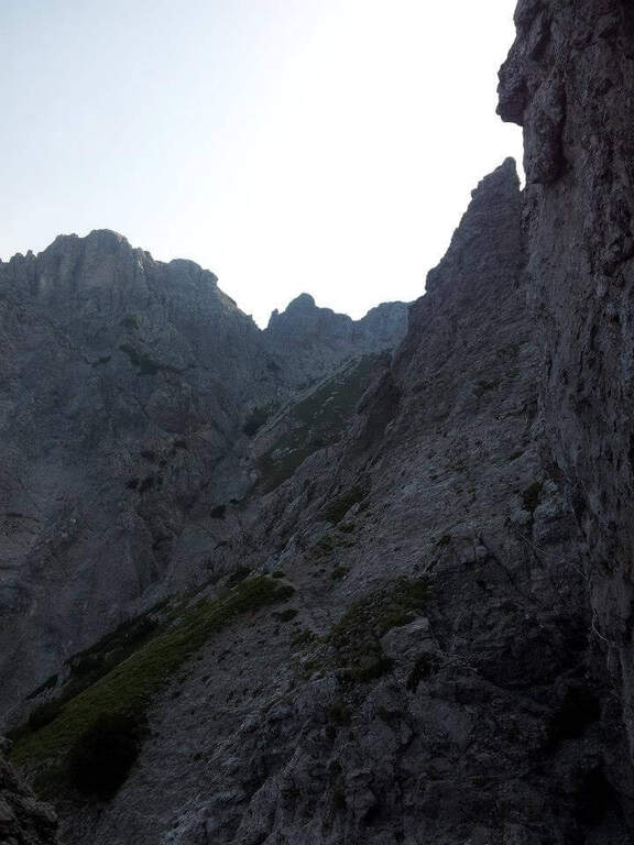
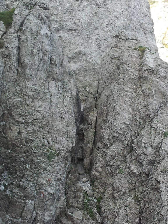
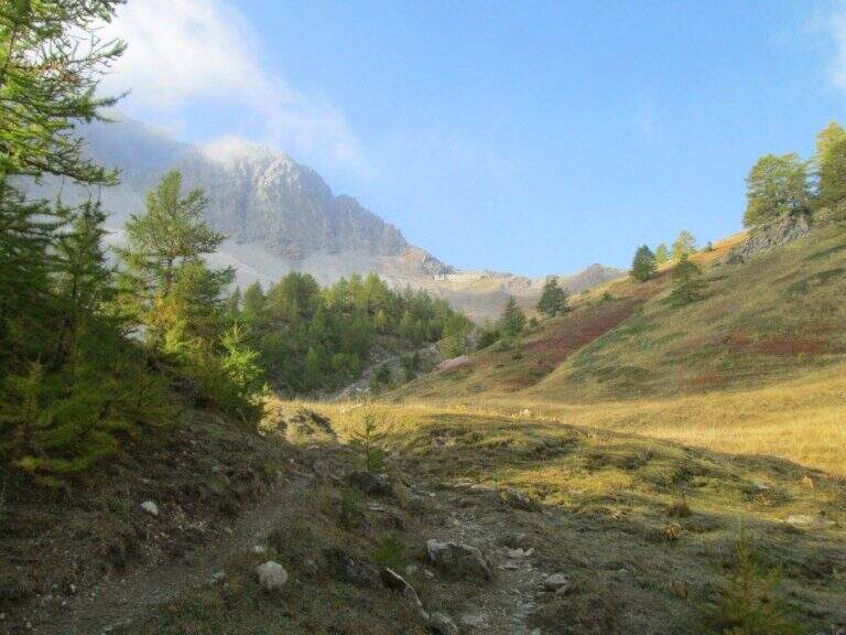
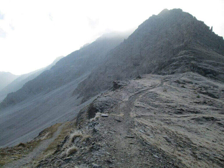
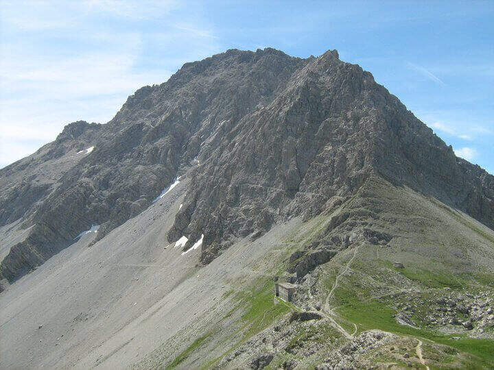
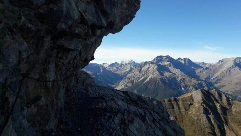
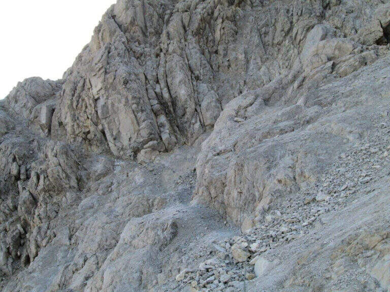
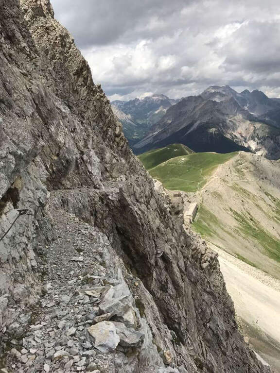
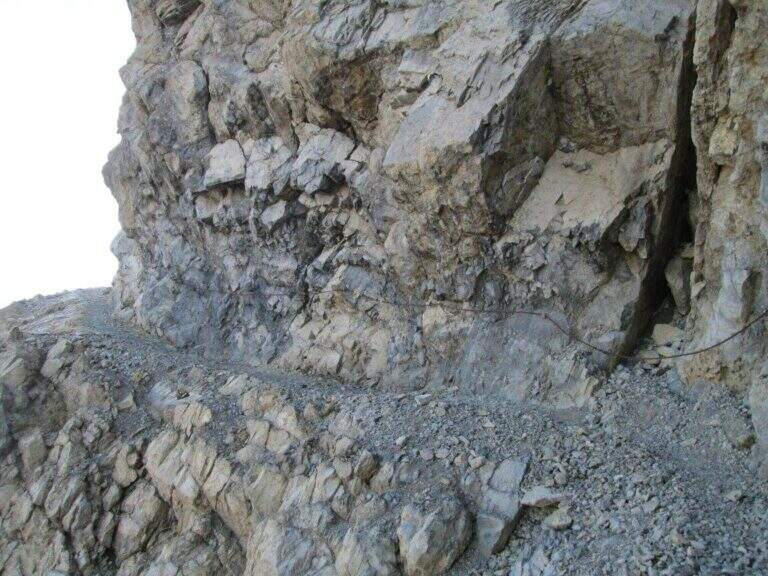
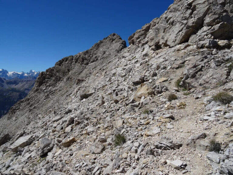
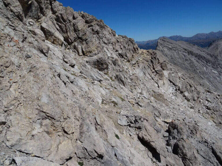
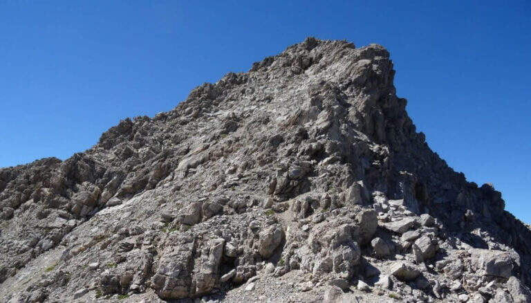
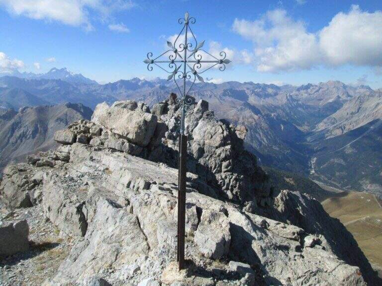
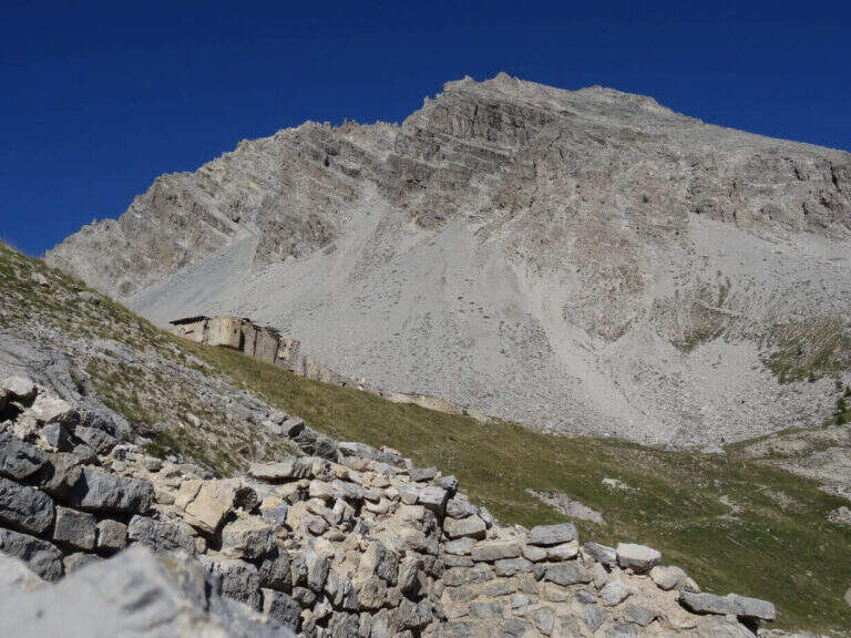
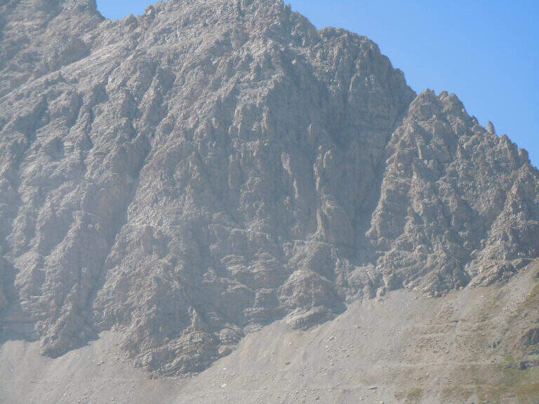
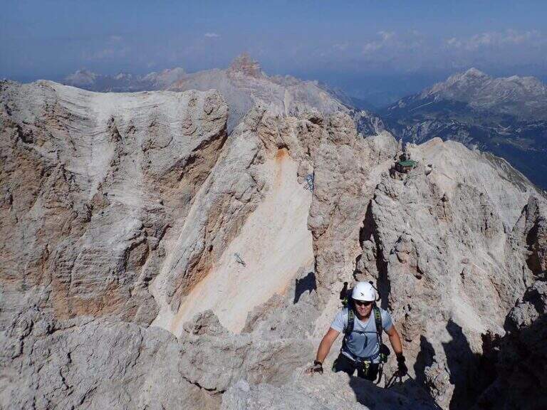
    The Ferrata Ivano Dibona is a wonderful ridge route on the Crystal Group. From Forcella Staunies runs through the entire ridge that descends to the Col dei Stombi, in a path of great landscape interest and rich in in indelible traces of the fighting of the Great War. The technical difficulties are not high, but some traits are exposed and above all the overall difference requires an excellent training.

    ▲Approach

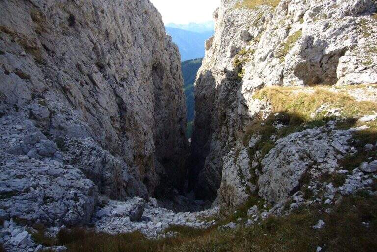
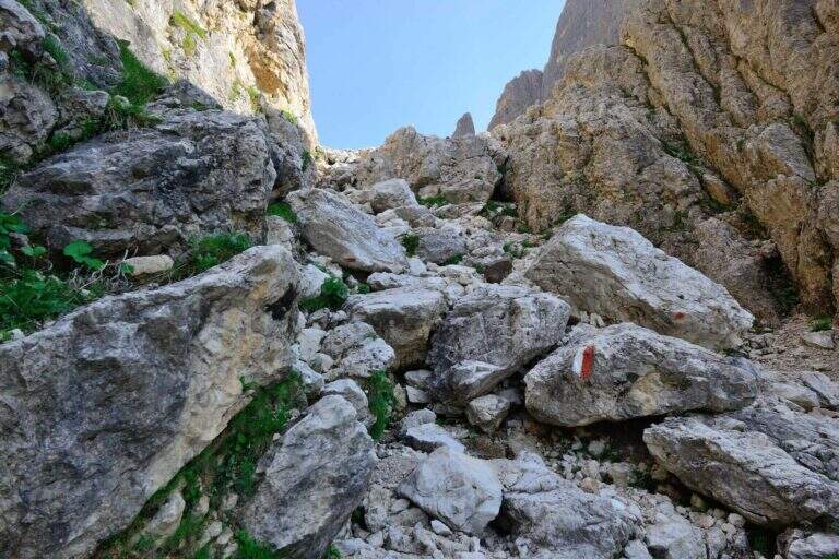
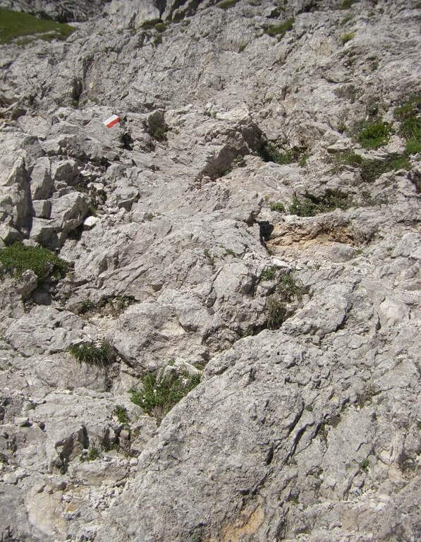
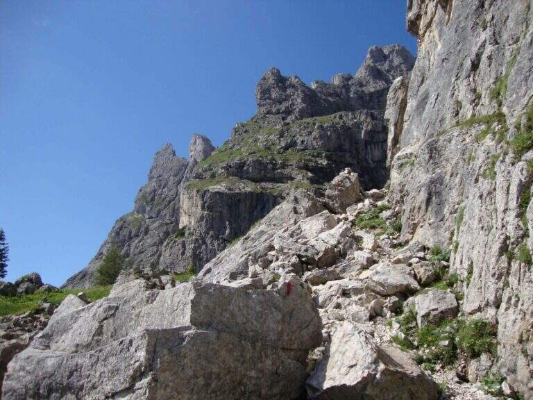
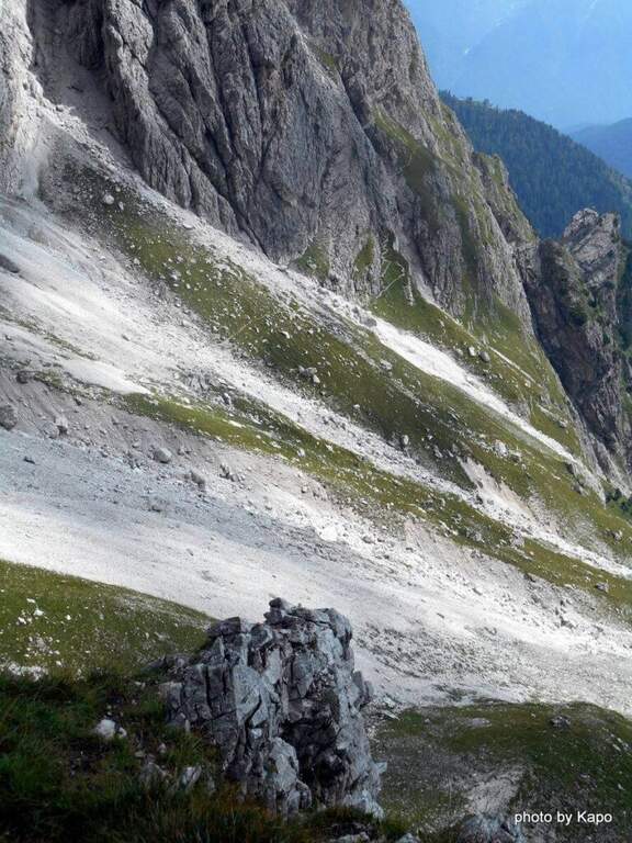
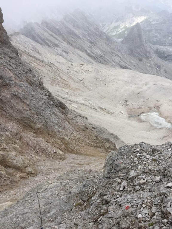
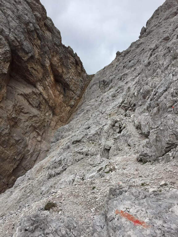
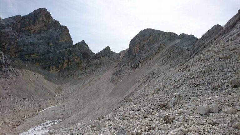
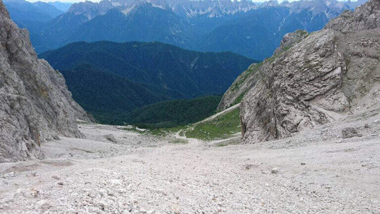
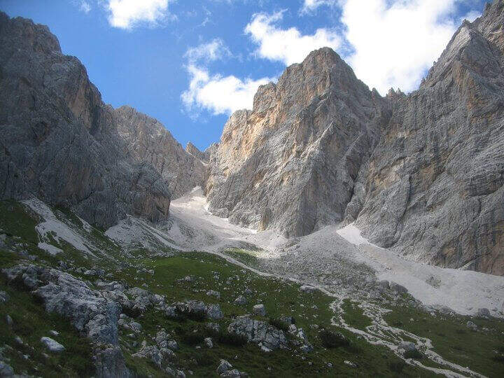
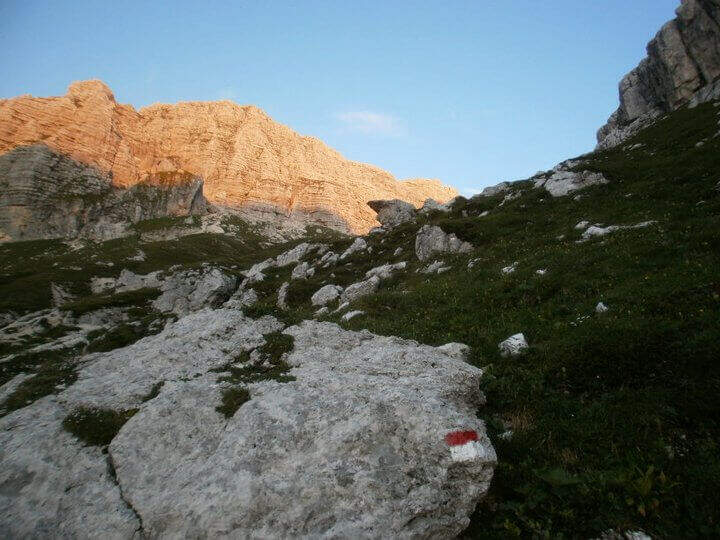
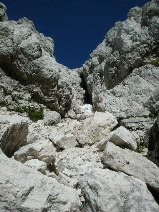
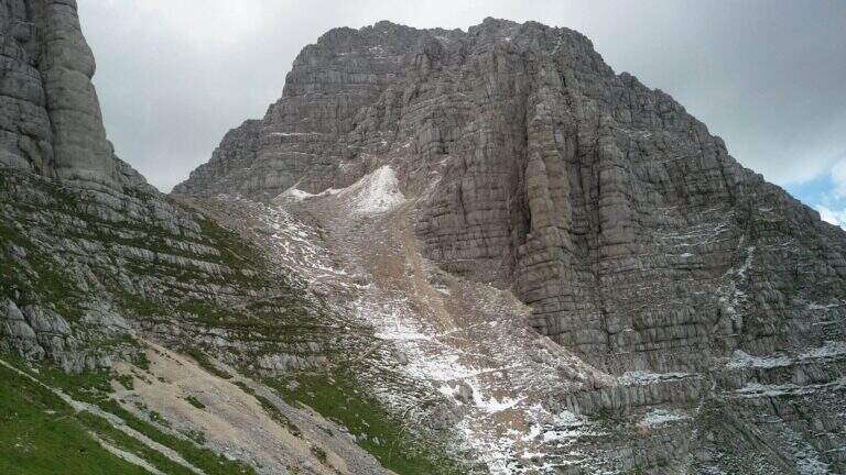
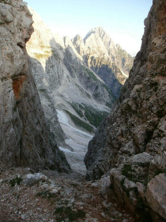
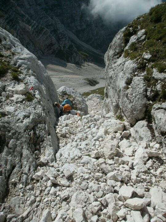
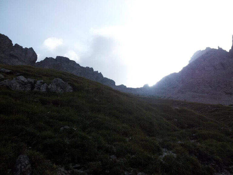
    Starting from the parking lot at the Restaurant Rio Gere, from which rises the chairlift that connects Rio Gere (1700 m) with the Son Forca Refuge (2215 m), along the road of the Passo delle Tre Croci that joins Cortina d’Ampezzo to Auronzo di Cadore, on the ampezzano slope (open up Google Maps). The attack is in Forcella Staunies (2932 m): from Rio Gere there are almost 1250 m of altitude, so it is highly recommended to use the chairlift up to the Son Forca Refuge. From here, dismantling the old bidonvia that climbed to the fork, the only solution is to climb up the detritic valley of the Gran Staunies, a steep channel and on unstable gravel bottom to deal with carefully, taking into account at least 2 hours from the end of the chairlift.

    ▲The path

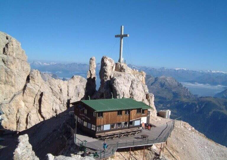
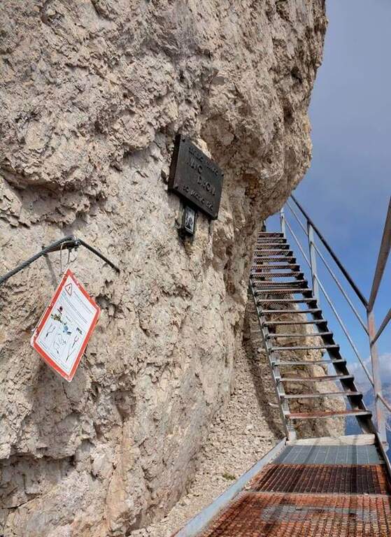
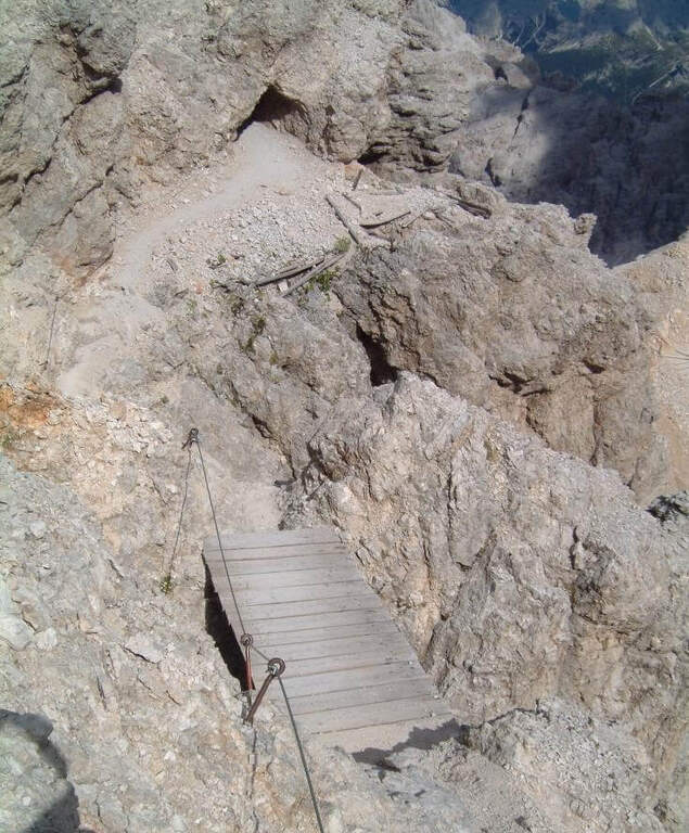
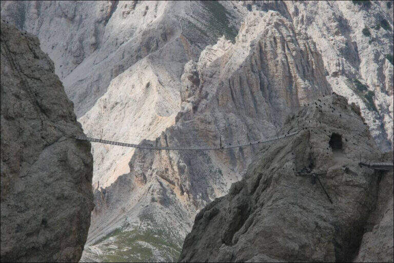
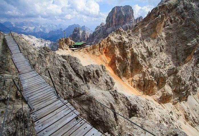
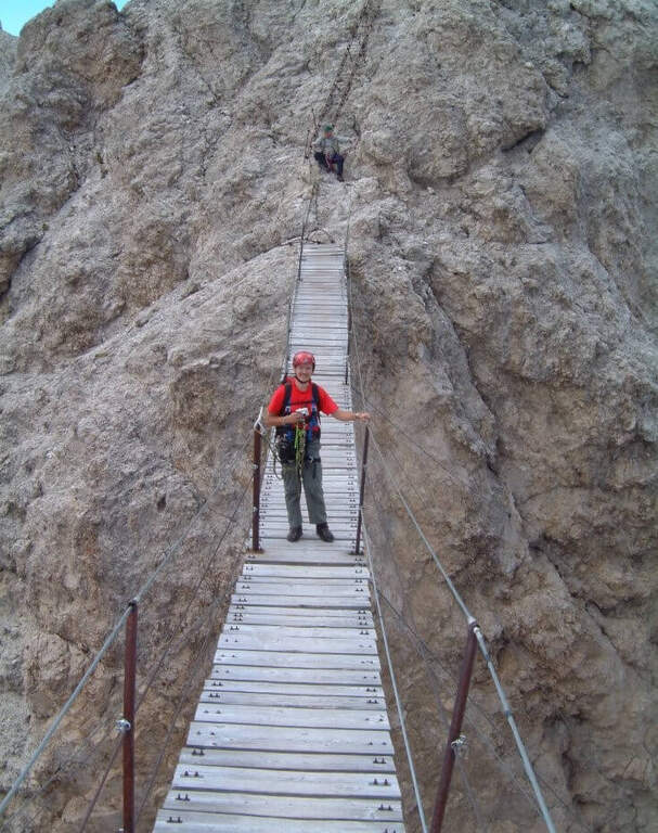
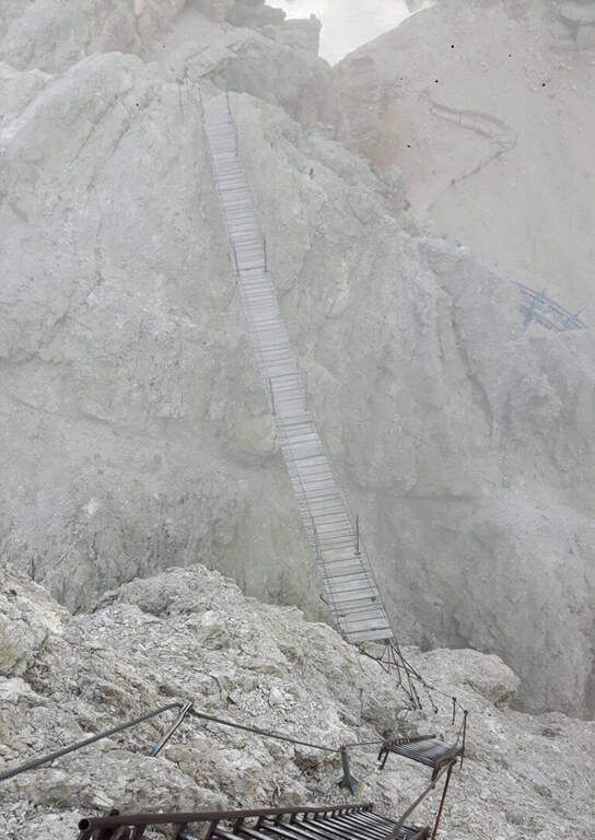
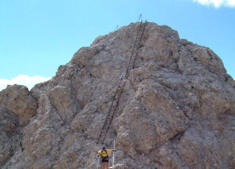
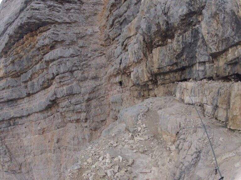
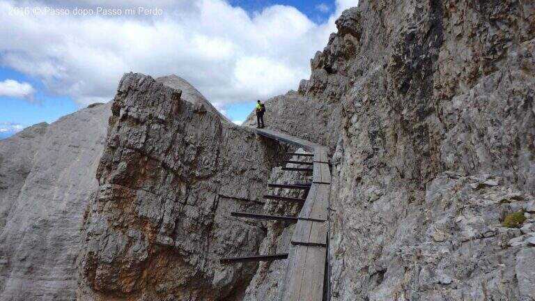
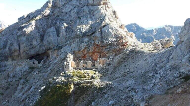
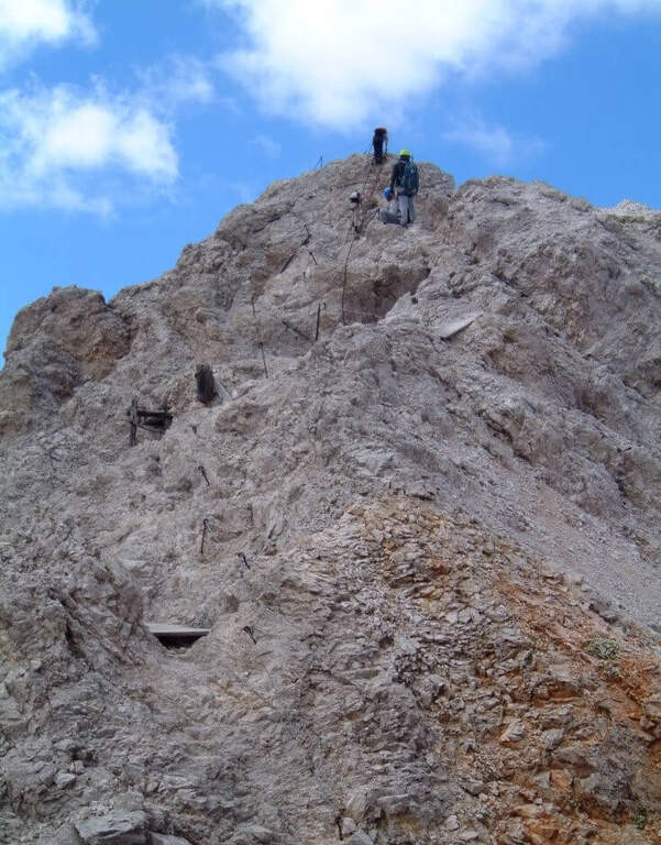
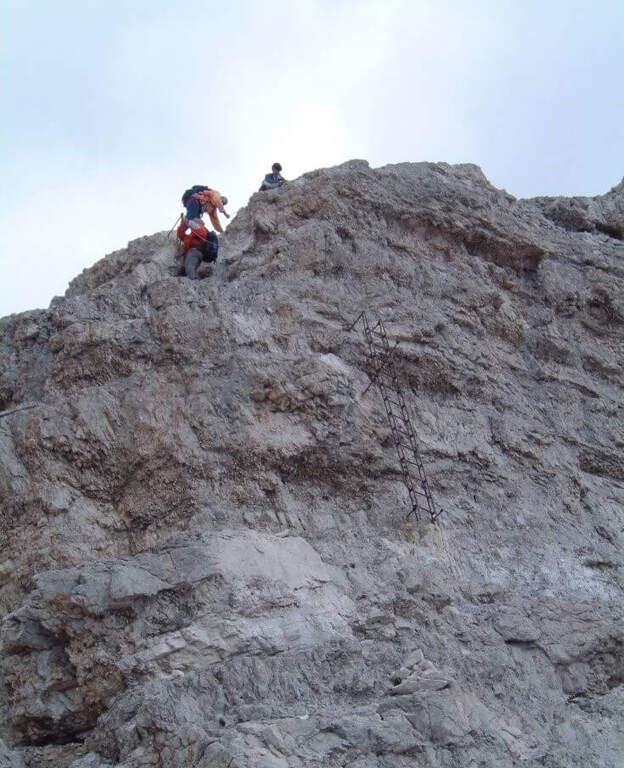
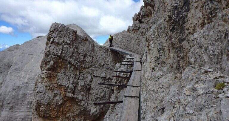
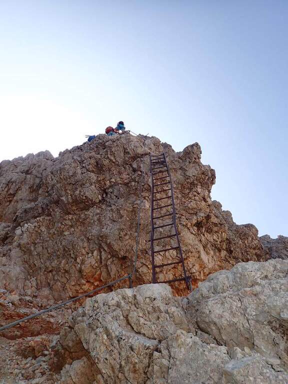
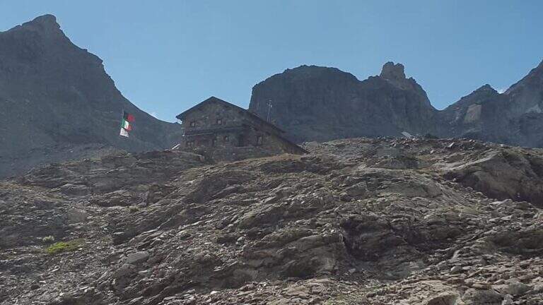
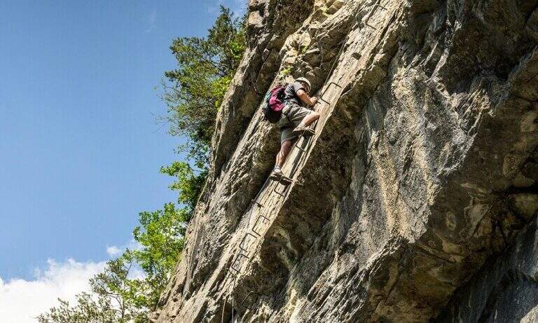
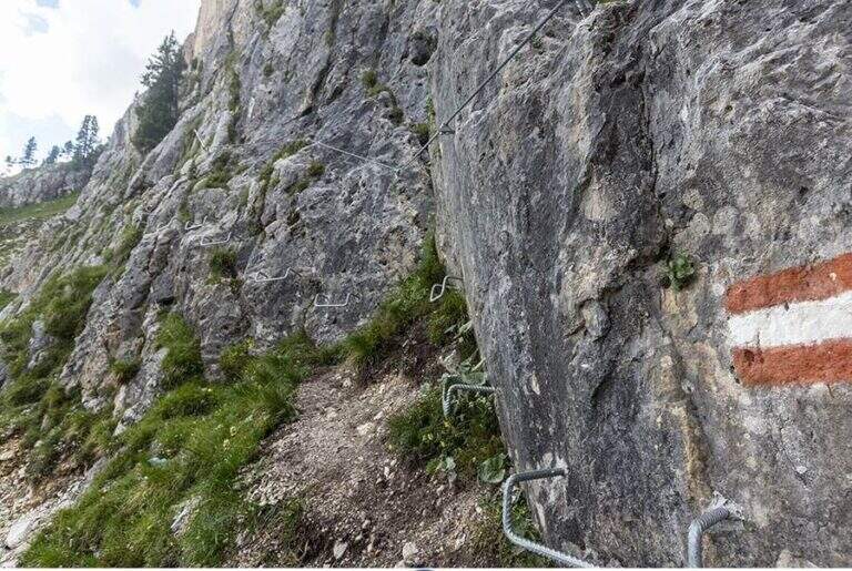
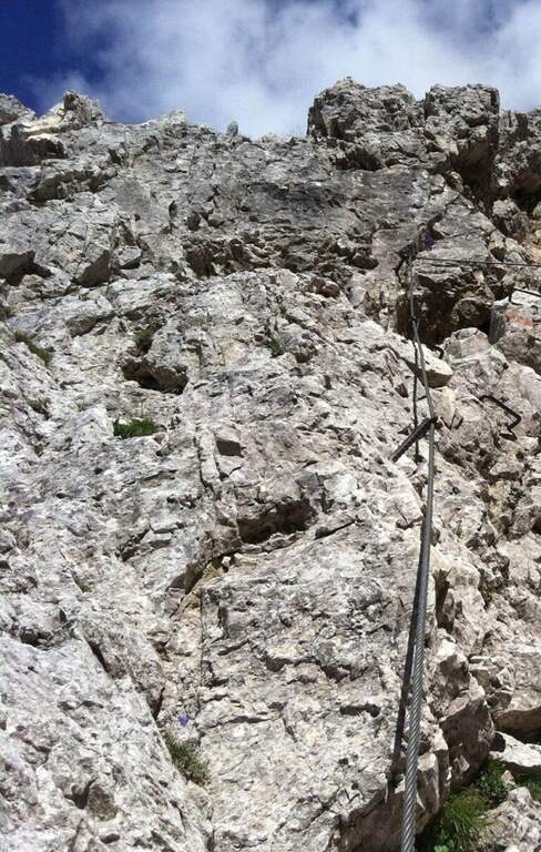
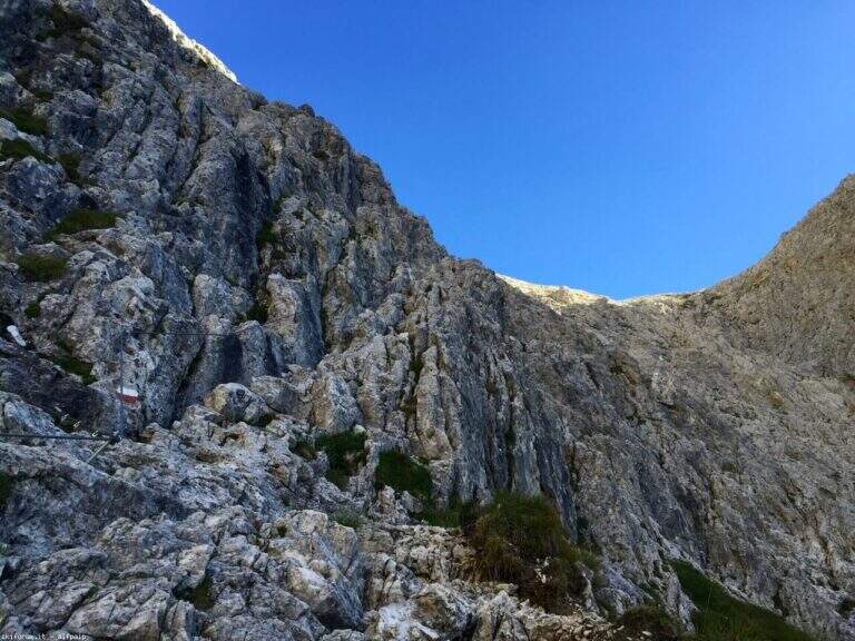
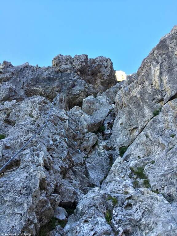
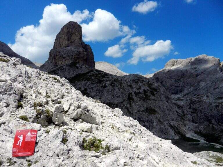
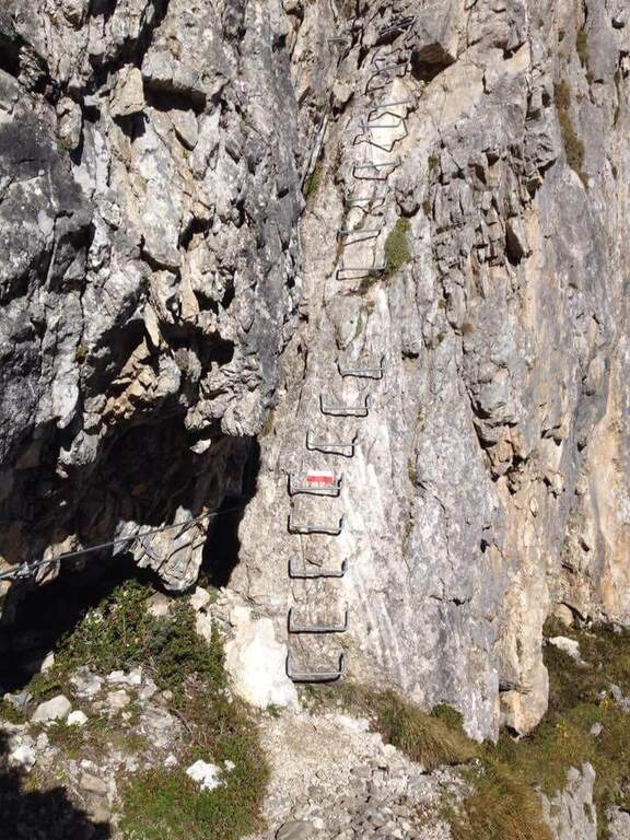
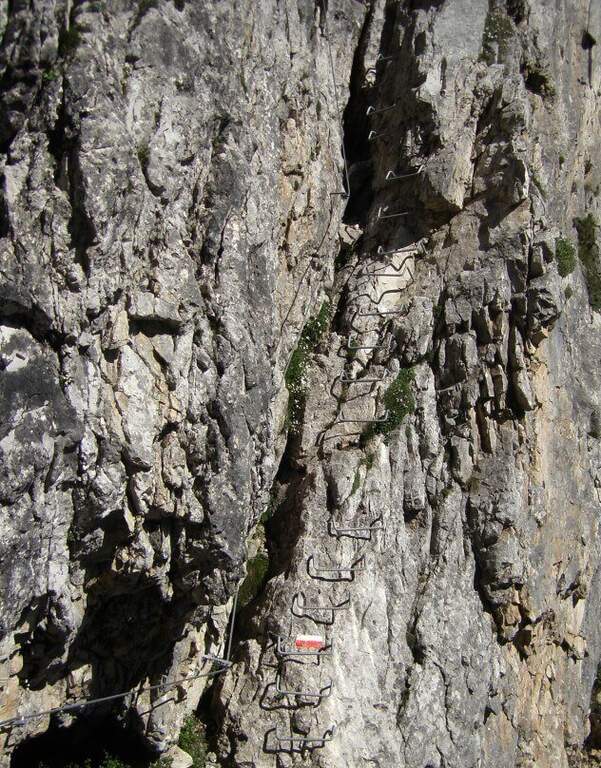
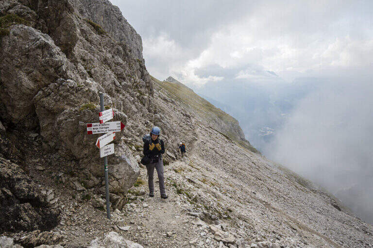
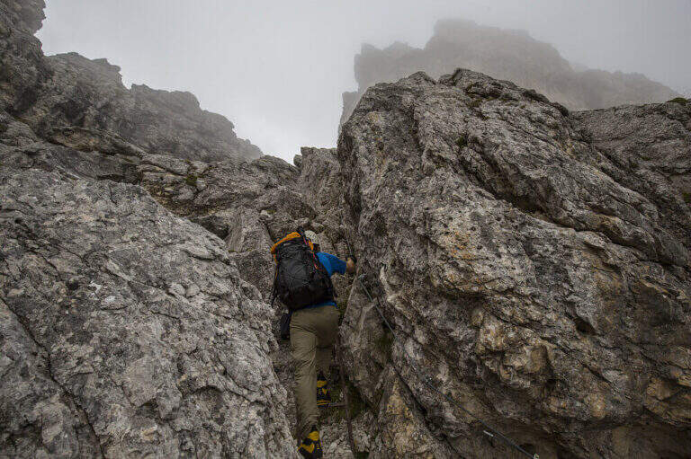
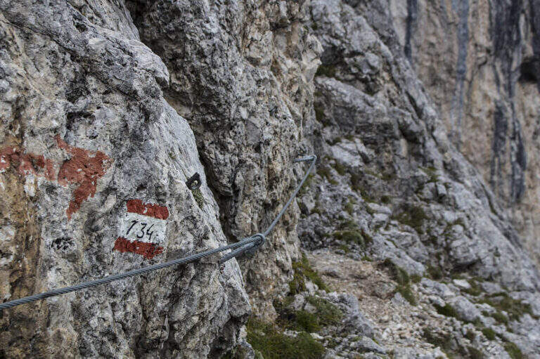
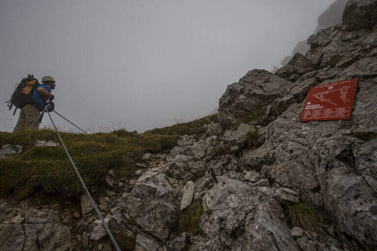
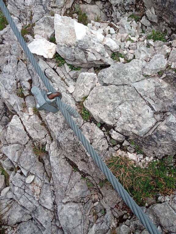
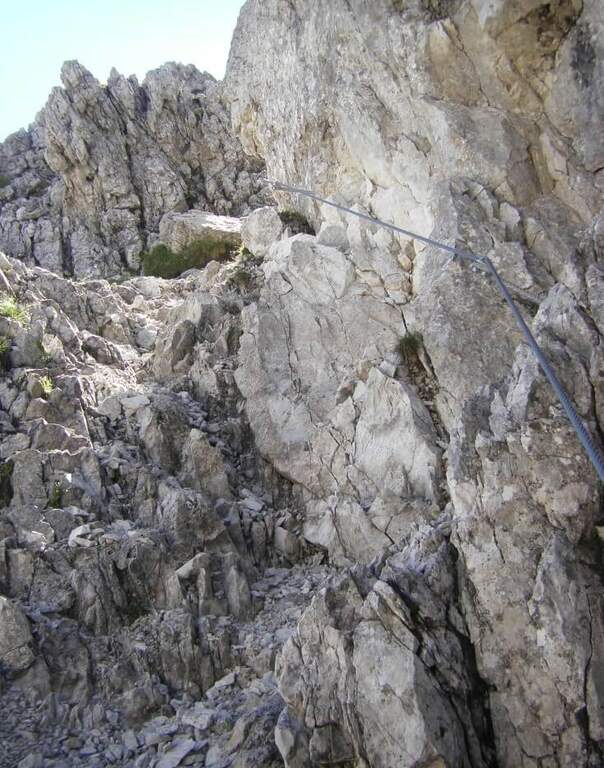
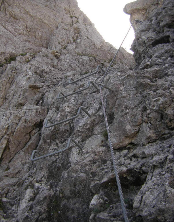
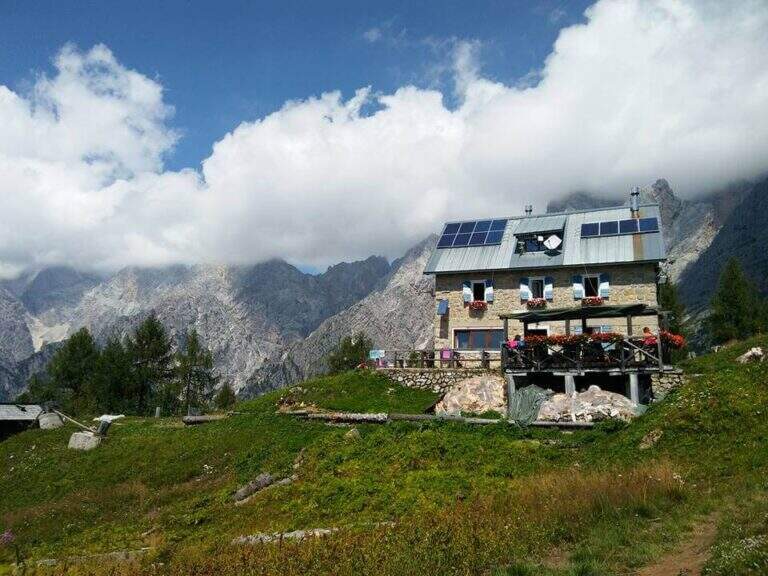
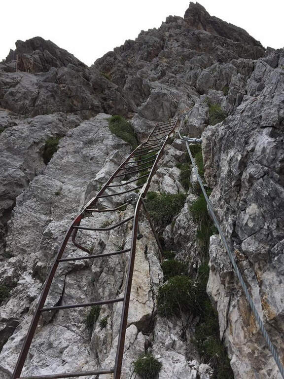
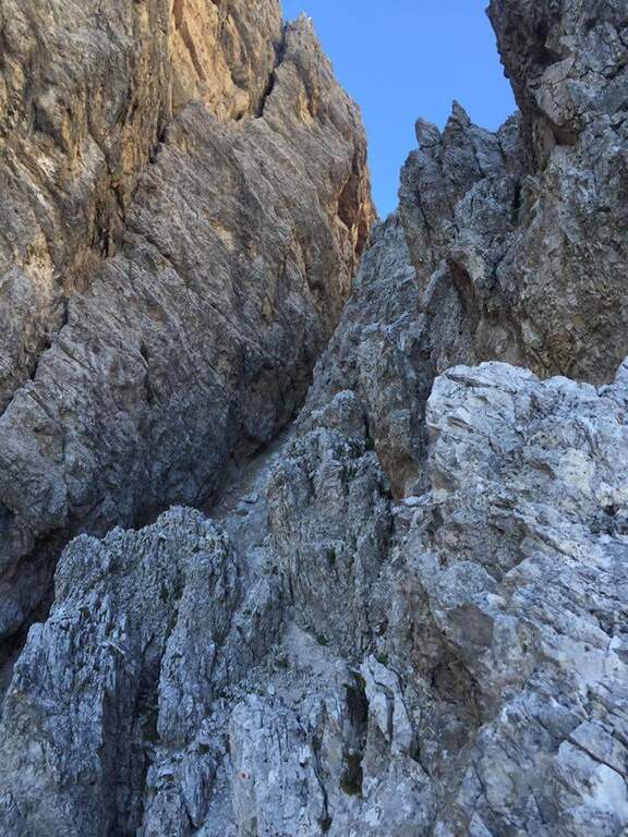
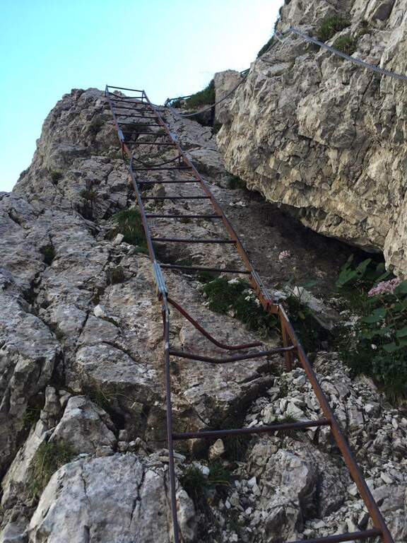
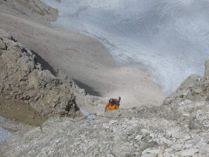
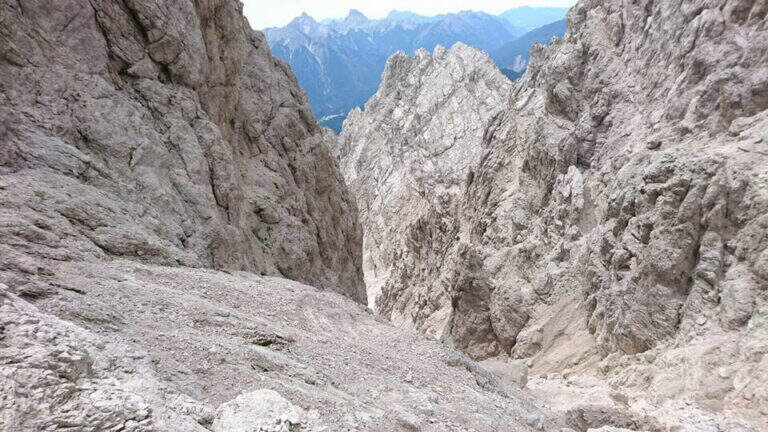
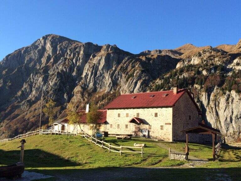
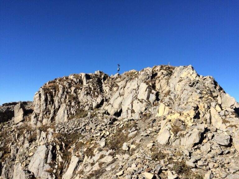
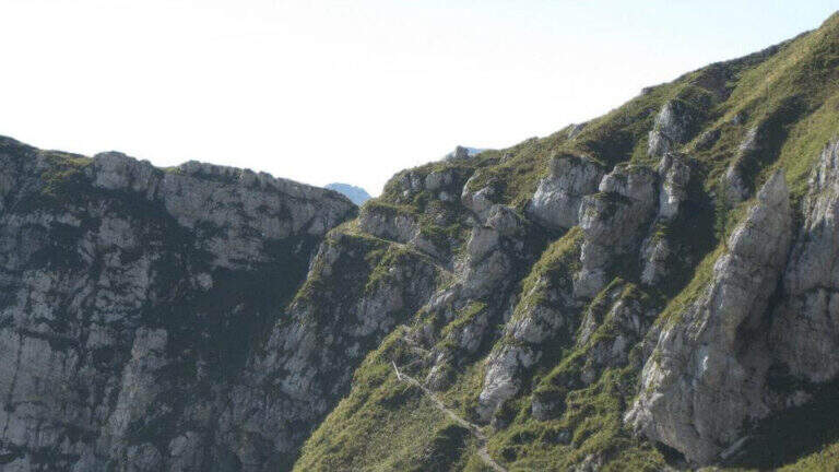
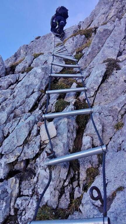
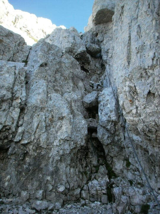
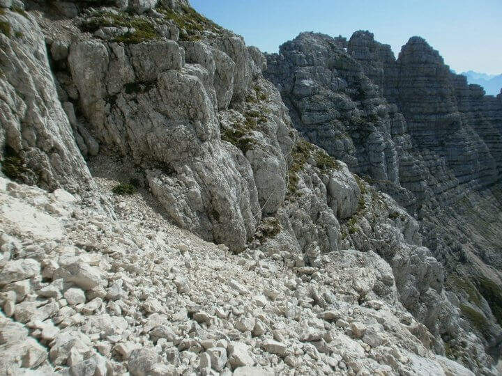
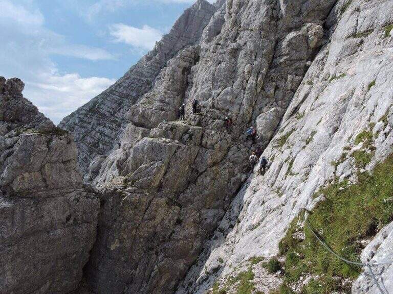
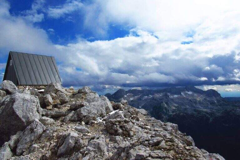
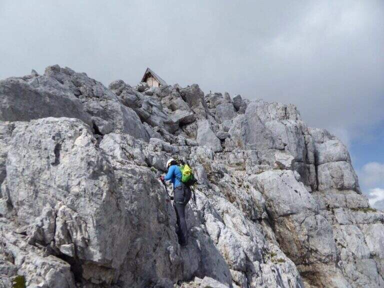
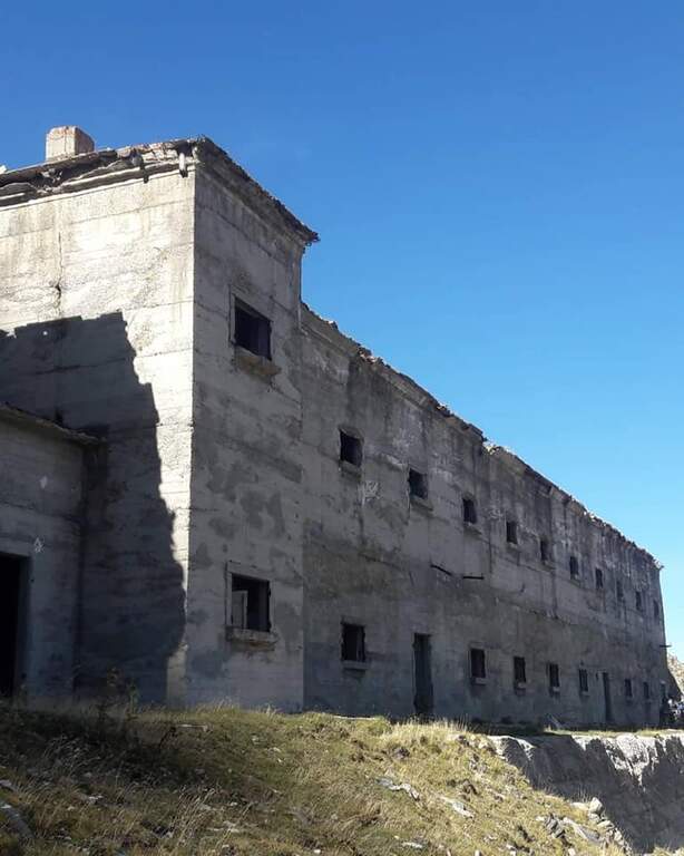
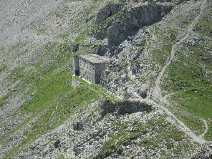
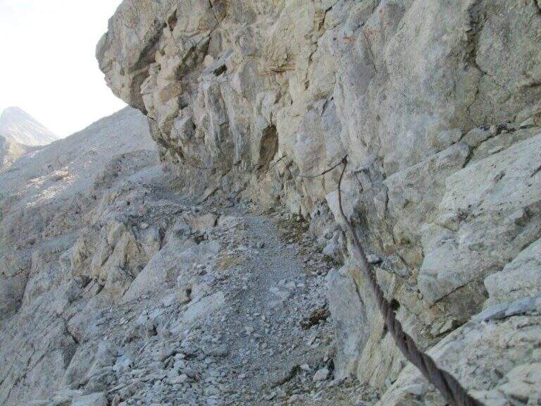
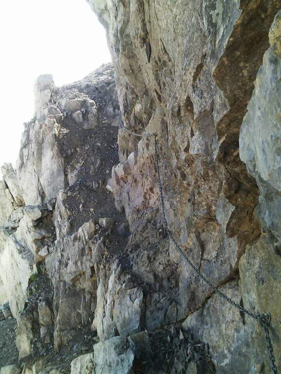
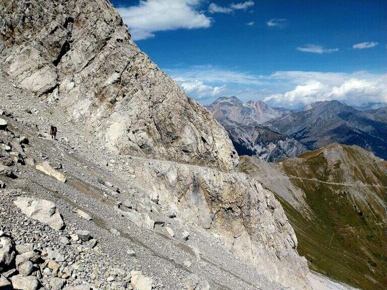
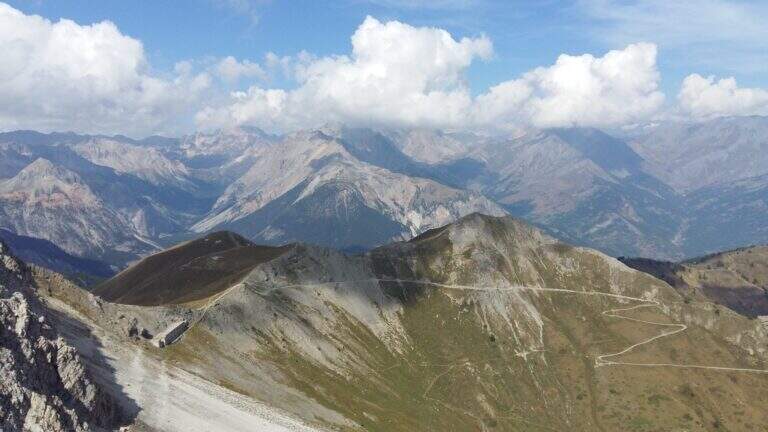
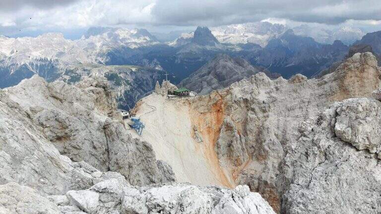
    Adding the Forcella Staunies you can see the silhouette of the Lorenzi Refuge, in a beautiful but closed position; behind it a metal staircase set in the rock gives start to the ferrata. After finishing the metal walkway, a ladder starts the first section, the most “ferrate” of the entire itinerary: a nod with a passage on a wooden walkway, a short passage that circumvents a rocky highlight with a couple of climbs without difficulty, some small rocks towards a rather short arcade that bends immediately to the left (not necessary twist) and a comfortable nod with wooden walkway. There are other small rocks and you will continue just below the ridge, with large passages and wooden walkways where the ground narrows, up to the suspended bridge of about 30 meters, one of the most iconic points of the route: turning you see the Lorenzi Refuge just left and the beginning of Ferrata Bianchi, which proceeded in reverse direction (15′ from the attack to the refuge, 2h30 total). The bridge is very large, built with wooden beams (a pair not fixed). Beyond the bridge a long metal staircase, divided into two sections, earns altitude and leads on the long ridge that characterizes this part of the route, well equipped with rope despite it is almost everywhere wide. After a slight descent to the Forcella Grande you will find a crossroads (2980 m, 15′ from the bridge, 30′ from the attack): you can go straight on the Dibona or take the optional turn left for Cima Cristallino, going up halfway to an insellatura and then on a corner not difficult to the base of the summit (2997 m, 10′ from the junction); you will climb preferably from the west side, Resumption downhill the Dibona, descends towards the Forcella Grande (2874 m), where on the right is the path to the Ferrata Renè de Pol at the Punta del Forame and you will meet some remains of snipers of the Great War; on the fork is held the left remaining on the Dibona. On the left side you pass next to the ruins of a former Italian military shelter and follow, under the Cresta Bianca, a section where you alternate paths, cenges, easy walks and walks equipped with a modest difference in altitude, up to the Forcella Padeon (2762 m, 2h from the attack included the deviation to the Cristallino, 4h15 total), where stands the Bivacco Buffa di Perre Guerra Continue on a half-coast on the south side of Vecio del Forame, with some exposed cenges at unprotected strokes, up to a detritic canalone that descends on the left with a long stretch, reaching first the Forcella Alta (2650 m) and then a fork (2490 m, 1h from the Bivacco Buffa di Perrero, 5h15 total). Here, while on the left the steep franous canal of Val Padeon is a difficult and little advisable escape route, continue straight on the path Dibona up to the Forcella Bassa (2450 m); then walk halfway without equipment along the Cresta dello Zurlon, climb a ladder that leads to some military ruins (2360 m, 40′ from Forcella Bassa, 6h total) and, after a short climb From Col dei Stombi you descend steeply, between bends and serpentine, up to the graft on the forest (CAI 203, 1700 m, 30′ from the hill, 7h15 total).

    ▲Character and difficulty

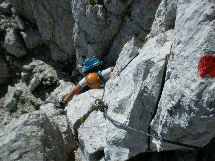
    The technical difficulties are not high, but the itinerary is long and contracting, with exposed traits and some unprotected cenges; the difference in level to be faced is remarkable and requires excellent training. Historically it is one of the most fascinating routes in the Dolomites, scattered with traces of the Great War.

    ⚠ Itinerary very long (23 km, up to 10h) and challenging, with exposed traits and blinds at unprotected strokes: start early, with stable weather, and take into account the now more tiring access (risalita del Gran Staunies).
    ▲Period and safety

    High mountain summer itinerary (max. 3008 m at Cristallino). The length, exposure and demanding access make it suitable for well-trained and autonomous hikers.

    ▲Discipline

    Adding the forest is left on path 203, ignoring all deviations, up to Passo Son Forcia (2109 m, 1h45 from graft on the forest, 8h total). From here you can go up to the Son Forca refuge to take the chairlift that goes down to the Rio Gere (attention to the opening hours of the lifts), or keep the right on 203 until you turn left for the CAI 206 (1948 m, 20′ from the Son Forcia Pass), in the direction of Malga Lareto; go down on 206 until you find an exotic unmarked track that goes down to the Rio Gere (30′ from the end of the inn.

    ▲To match

    From the Forcella Grande the Ferrata Renè de Pol to the Punta del Forame, natural continuation for those who still have energies.
    ▲Gallery
    Technical data
    • DifficultyModerately Hard
    • RegionVeneto
    • GroupCrystal
    • Approach2:15 h
    • Ferrata5:00 h
    • Itinerary (a/r)10:00 h
    • Hardware level difference1300 m
    • Route difference1300 m
    • Max3008 m
    • Length23 Km
  • Sentiero Attrezzato del Vofrede (Ferrata dello Sperone)

    Sentiero Attrezzato del Vofrede (Ferrata dello Sperone)

    Vie Ferrate › Aosta Valley › Aosta
    Sentiero Attrezzato del Vofrede (Ferrata dello Sperone)

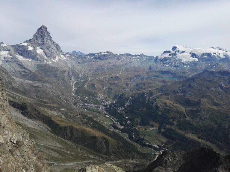
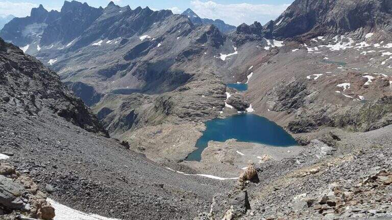
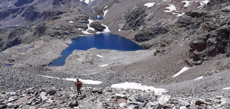
    The Sentiero Attrezzato del Vofrede — called by some Ferrata dello Sperone — is a difficult itinerary but with breathtaking views, which dates back to the Cignana valley surrounded by beautiful alpine lakes. You arrive near the Colle di Vofrede with a ring return on a very satisfying tour, under the look of the Divine.

    ▲Approach

    The starting point is along the road from Châtillon to Breuil-Cervinia (AO). Pass Valtournenche and continue beyond the hydroelectric power station of Perrères until you see on the left an area where you work the sand; along a straight you notice a dirt road that goes down that direction and, before crossing the bridge, you park on the road. If the entrance to the dirt road was not possible for work, continue for a few meters on the main road and park on the right in a small street, elongating the excursion (open up Google Maps). From the parking lot you pass the bridge on the Marmore stream, turning right towards the lake for sports fishing; near the sign for access you take the wide path that goes up the valley of the creton stream, up to a pole with the various signposts, where you hold the signpost 9 (yellow signs). Where the path bends to the left you cross a stream and you go up a hill on a living rock; on a comfortable path you reach a crossroad where, while on the left you go towards the glacier of Vofrede, you keep the right continuing straight along the moraine and, after some bends, you reach the attack of the Sentiero Attrezzato del Vofrede (2h from the parking lot).

    ▲The path

    The first section takes place on some short walls, followed by a horizontal traverse exposed but with plenty of place for the feet; there is an unmarked edge and easy rocks rise. The equipment ends momentarily and follows the track up to a vertical wall, easily climbed secured by the cable; overcoming some rock leaps not steep until a balcony overlooking the Vofrede glacier. From the terrace you face a vertical wall of a few meters, not difficult, which leads to a second panoramic balcony, beyond which continues the vertical tract; the equipped path continues without difficulty until you cross a split in the rock, now near the term. The last tens of meters run and, in the plateau under the Castelletto Whymper, the equipped path ends with a magnificent view of the nearby Cervino (1h30 from the attack, 3h30 total). From the end you continue west (left) along the stone towards the Colle di Vofrede (3130 m, highest point of the excursion, 4h total), following the yellow signs and omits.

    ▲Character and difficulty

    The itinerary is not technically difficult, but it is long: arrived at the Colle di Vofrede you are less than half a hike, so the total length, especially for the return.

    ⚠ The return, although not difficult, takes place in a remote area with path not always well marked: it can make sense to carry a GPS track, in particular in case of announcements or fog with difficulty of orientation.
    ▲Period and safety

    High-mountain summer itinerary (maximum rate 3130 m), in wild and beautiful surroundings. Long development and distance from support points require good autonomy and attention to the weather.

    ▲Discipline

    From the Colle di Vofrede you descend west towards the Gran Lago, following the labile track of the path and then the drains to the eastern side of the basin; follow the wall of containment towards the valley up to a small ruin from the grounded roof, from which a path connects shortly after a larger one that goes up to the wall where rises the Perucca Vuillermoz Refuge. From the hut follow the path 6 – Alta Via 3 towards the bivouac Manenti, to the bends, to the edge of Lake Balanselmo; continue along a half-coast at the Alpe di Chevalley, then on a dirt road up to a saddle from which you take the path 107, holding the left towards the refuge La Riondè and continuing towards the visible sand quarry and then to the parking lot (330).

    ▲Gallery
    Technical data
    • DifficultyEasy
    • RegionAosta Valley
    • GroupCervino – Valtournenche
    • Approach2:00 h
    • Ferrata1:30 h
    • Itinerary (a/r)7:30 h
    • Hardware level difference450 m
    • Route difference1200 m
    • Max3130 m
    • Length14,9 Km
  • Sentiero Attrezzato delle Scalette al Catinaccio (Larsec)

    Sentiero Attrezzato delle Scalette al Catinaccio (Larsec)

    Vie Ferrate › Trentino-Alto Adige › Trento
    Sentiero Attrezzato delle Scalette al Catinaccio (Larsec)
    Moderately Hard● OpenDescriptionComplexityMapsGallery

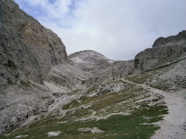
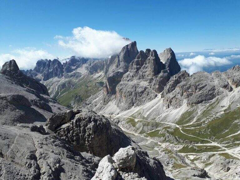
    The Sentiero Attrezzato delle Scalette is the most direct route from Rifugio Gardeccia to the austere valleys of Larsec and Laussa, in the heart of Catinaccio. The itinerary does not have particular technical difficulties and can be routed also by those who are the first experiences on the equipped routes; however, great attention should be paid to the weather if you decide to continue in the two valleys at altitude.

    ▲Approach

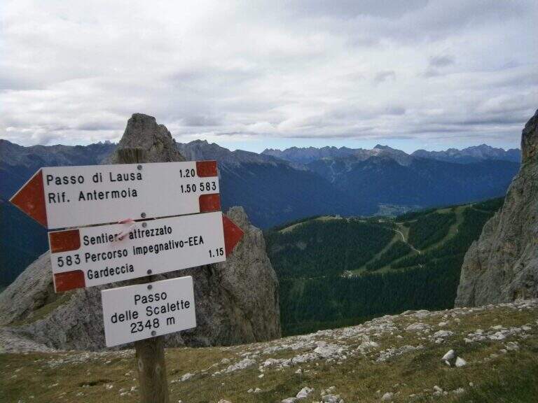
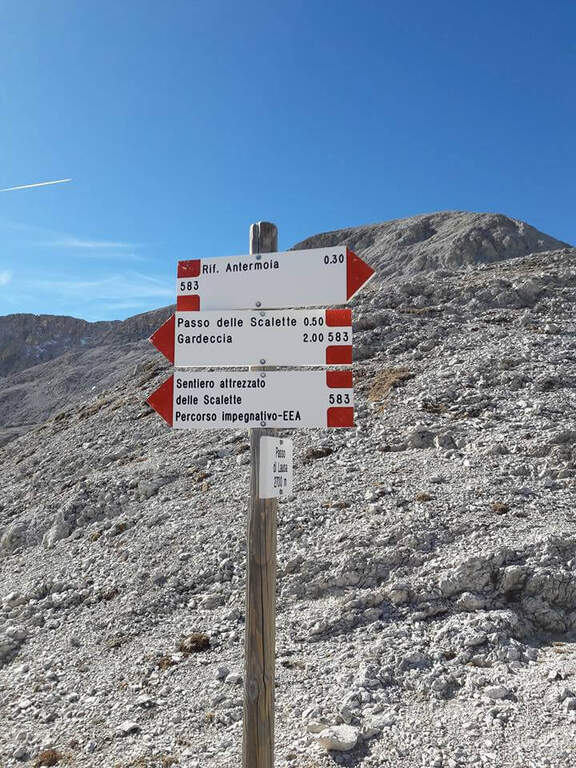
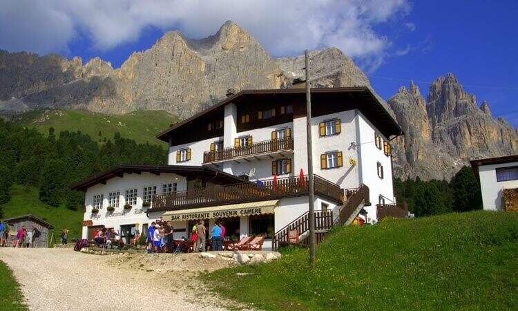
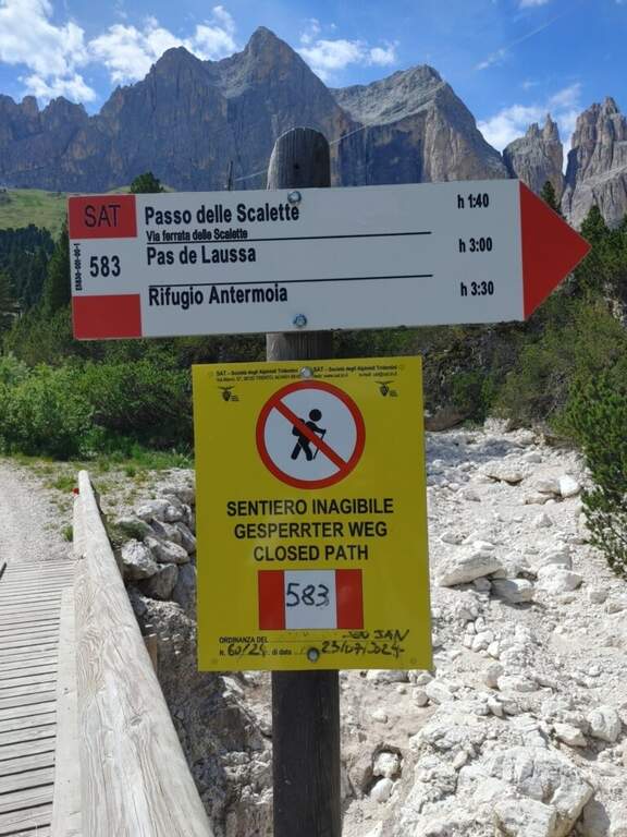
    The starting point is the Rifugio Gardeccia, in the Val del Vajolet (parallela alla Val di Fassa, TN) and the private traffic. To reach it there are various options: go up with the cable car from Vigo di Fassa to the Ciampedie Refuge and continue on a comfortable path in about 45′; use the shuttle bus from Pozza di Fassa (20′, you should check point and times with the tourist office); or go up with the cable car from Pera di Fassa and reach the refuge on foot (open up Google Maps). From the Gardeccia Refuge (1949 m) follow the CAI 583 which, halfway, passes under the Larsec cliffs to the east, wanders the imposing rocky ramparts and continues to the north in more marked ascent; at a certain point a pole indicates to keep the left on a new track, which replaces an old street subject to a landslide (1h from the Gardeccia Refuge).

    ▲The path

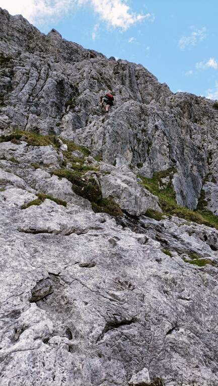
    From here onwards you will walk through the actual Sentiero delle Scalette, which is inerpica in a canalone at the end of which you will reach the Passo delle Scalette. The first stretches are on an exposed nod, besides which a series of metal brackets allows to trace a traverse; it follows a stretch of erto path without equipment up to a second stretch equipped, consisting of small rocks that rise on the left side of the canalone. We pass a short vertical leap, where some new metal cambres give support, and we go up a further stretch of steep path to the Passo delle Scalette (2348 m, 1h from the attack, 2h from the Rifugio Gardeccia).

    ▲Character and difficulty

    The path does not have particular technical difficulties; the main commitment is the difference in level, which requires a good state of form. It deserves a note apart from the possible continuation in the debris valleys of Larsec or Laussa.

    ⚠ The Larsec and Laussa valleys are devoid of support points: continuing the hike under a storm can make them much more prohibitive than normal. Plan the route with a constant eye to the weather.
    ▲Period and safety

    High mountain summer itinerary (max. 2720 m on the longest ring). Technical difficulties are contained, but high altitude development and environment require good physical preparation and attention to weather conditions.

    ▲Discipline

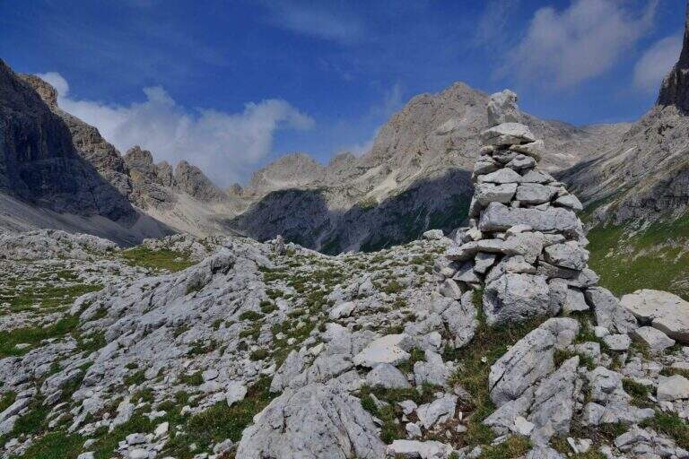
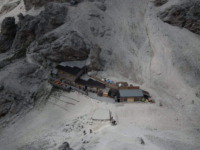
    From the Step of the Stairs you choose between various options of return. The most beat runs through the desolate Valle del Larsec to Passo Pope (2720 m), from which you descend along the steep path Don Guido to the Vajolet Refuge (2243 m) and, along the Vajolet Valley, to the Gardeccia Refuge (1950 m, 5h30). The longest option remains on the CAI 583 in the Valle di Laussa up to the homonymous pass (2700 m), to get off at the Rifugio d’Antermoia (2497 m) at the glacial lake, or keep the left towards Passo Principe; from the Rifugio Antermoia you can reach the Passo Principe by taking the Ferrata to the Catinaccio d’Antermoia, and from the Passo Principe go down all the Valle del Vajolet 30 to the The shortest, but less fulfilling option is the return to return along the route (3h30 total).

    ▲To match

    The path can be combined with Ferrata at the Catinaccio d'Antermoia — as described in the return — or Ferrata Bepo de Medil, preferably downhill.

    ▲Gallery
    Technical data
    • DifficultyModerately Hard
    • RegionTrentino-Alto Adige
    • GroupCatering
    • Approach1:00 h
    • Ferrata1:00 h
    • Itinerary (a/r)5:30 h
    • Hardware level difference150 m
    • Route difference761 m
    • Max2720 m
    • Length16 Km
  • Sentiero Attrezzato del Cacciatore alla Cima Stanga

    Sentiero Attrezzato del Cacciatore alla Cima Stanga

    Vie Ferrate › Trentino-Alto Adige › Trento
    Sentiero Attrezzato del Cacciatore alla Cima Stanga
    Moderately Hard● OpenDescriptionComplexityMapsGallery

    The Path Atrezza del Cacciatore dates back to the eastern wall of Sass Maor, in the Pale di San Martino. It is a route with a high level and quite long, but not difficult from a technical point of view, immersed in one of the most spectacular environments of the Dolomites.

    ▲Approach

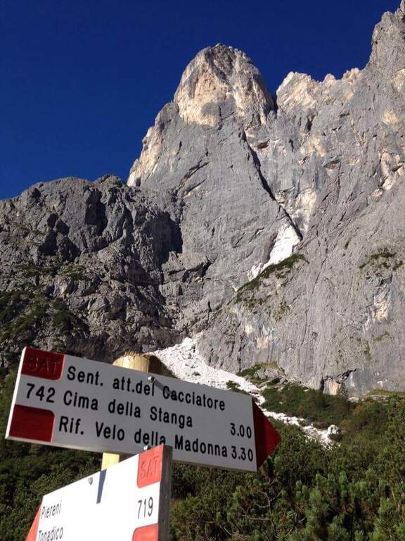
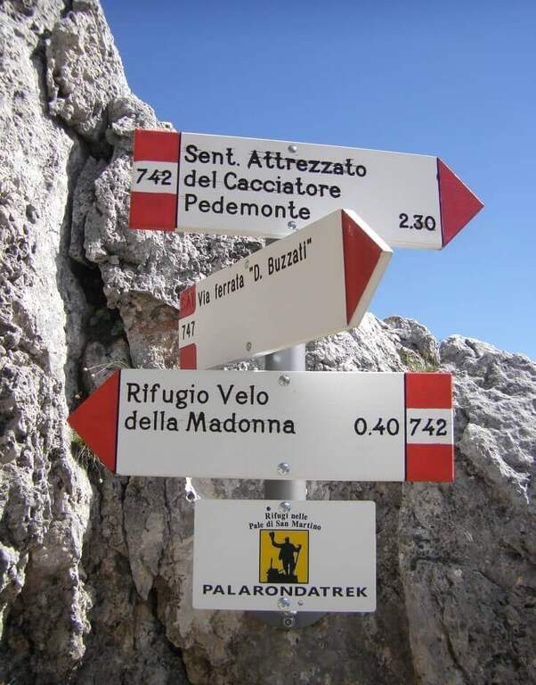
    The starting point is in Val Canali, in the locality of Prati Fosne. To reach the Val Canali follow the SS 347 of Passo Duran: coming from Fiera di Primiero (TN) you continue for about 5 km towards Agordo up to a wide bend with clear indications for the Val Canali, then you go up the valley, you pass a wide bend to the left and you continue on narrow road and sometimes dirt until the Hotel Casera; at the intersection near the hotel you take the right parkingopen up Google Maps). The Cacciatore is often combined with the nearby Ferrata Buzzati as a way back; here we propose it uphill, with return along the Path Attrezzato Depaoli passing through the Rifugio Velo della Madonna. From the village of Fosne you follow the road and in short you leave it for the signpost 719, which climbs moderate slope, first in the woods; exit from the forest you proceed north up the Val Pradidali in falsepiano until the fork in the locality Pedemonte (1h30 from the parking lot): while right you will go up to the Rifugio Pradidali, you take the left on the signpost 742, which with steep eastern parking.

    ▲The path

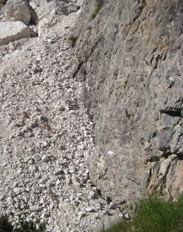
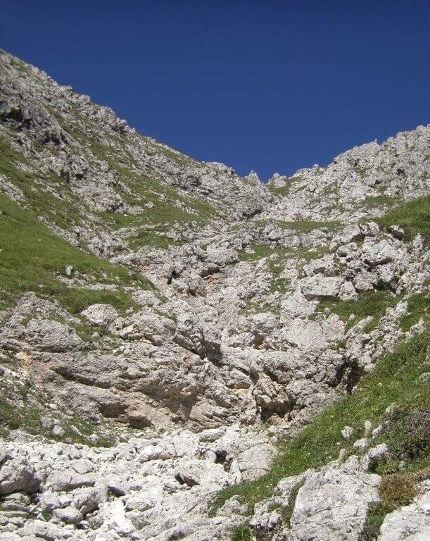
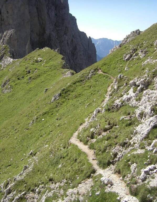
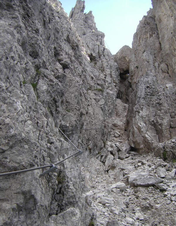
    It goes up with the equipment the area affected by the landslide up to the original attack of the path; it is around a edge and climbs to the left on a census to exposed sections, which continues under the overhanging walls of the Sass Maor. The ascent is pleasant and alternating stretches of nod protected with short climbing rocks and without difficulty, with some metal brackets in the more vertical passages: these new fixtures, added in the last maintenance, have considerably reduced the challenging traits of this historic path. We continue on a long line from the grassy bottom, in constant exposure, until we wander around a spur and enter the valley that separates the Cimerlo from the Sass Maor; crossed a stretch on unstable background we reach what was the key point of the street, a challenging dihedron that today rises thanks to a long series of metal cambres, which reduce if they do not eliminate the original difficulties. Exit from the passage, in a mixed valley of stones and grass follow the white red signs up to the fork (2410 m, 2h30 from the attack), reached with tiring but not difficult climb, where the itinerary ends.

    ▲Character and difficulty

    The route is long and with a considerable difference in altitude, but the technical difficulties are reduced: it serves mainly caution in the various unequipped sections. The only challenging passage of the original layout, the dihedron, is now equipped with many brackets and therefore greatly facilitated.

    ⚠ Itinerary long and with strong difference in altitude (1370 m, 8h30): they serve constant resistance and attention in the unequipped and exposed traits, at the bottom of unstable traits.
    ▲Period and safety

    High mountain summer itinerary (max. 2550 m). The challenging development and exposure of some cenges require good physical preparation and steady step.

    ▲Discipline

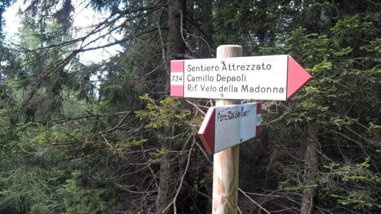
    From the fork you have two options: on the left, along the initial ridge path with 747 signpost and then for equipped stretches (described in the report of Ferrata Buzzati), you reach the eastern spallone of Cimerlo and you can climb to the summit (1h from the fork); on the right, on the trail 742, you go up to the Passo della Stanga (2530 m) and you go down to the Rifugio Velo della Madonna (2358 m). Following this second option, from the refuge take the signpost 734 of the Attrezzato Path Depaoli, which brings back to the parking lot along the western walls before the Stanga and then of the Cimerlo: you face some stretches equipped not difficult — a canal, some cenges, an easy fireplace — until the end of the complex equipment, then cut halfway with beautiful views, gradually losing altitude until Fosne (3h Velo).

    ▲To match

    Classical matching is with Ferrata Buzzati at Cimerlo, often used as a way back. In the same area there is also the Ferrata del Velo della Madonna.

    ▲Gallery
    Technical data
    • DifficultyModerately Hard
    • RegionTrentino-Alto Adige
    • GroupPale di San Martino
    • Approach2:00 h
    • Ferrata3:00 h
    • Itinerary (a/r)8:30 h
    • Hardware level difference650 m
    • Route difference1370 m
    • Max2550 m
    • Length14,2 Km
  • Sentiero Attrezzato degli Alpini in Forcella Jau Tana

    Sentiero Attrezzato degli Alpini in Forcella Jau Tana

    Vie Ferrate › Veneto › Belluno
    Sentiero Attrezzato degli Alpini in Forcella Jau Tana

    The Sentiero Attrezzato degli Alpini in Forcella Jau Tana, in the Marmarole Group, is a challenging itinerary: high altitude difference, wild and unspoilt environment. The equipped strokes are of medium-low difficulty, but the long stretches are not protected and must be avoided absolutely with bad weather.

    ▲Approach

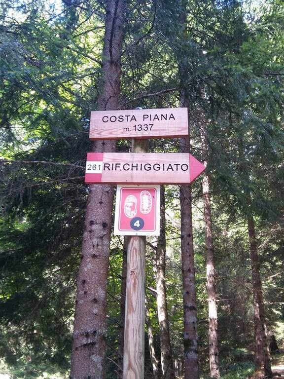
    It starts from the resort Stua, near Calalzo di Cadore (BL). In Calalzo follow the signs for Pian dei Buoi, on a narrow but asphalted road, entering the wood towards Val d’Oten up to a crossroads 2,5 km from the center, where you take to the right and continue for another 2,5 km in the wood until the parking lot (open up Google Maps). From Stua (1555 m) follow the path 261, which climbs steeply in the forest to the bends towards the Chiggiato Refuge: you pass the resort Costapiana (1337 m, 30′ from the parking lot) and the locality La Serra, recognizable for a trip that recalls the passage of Pope John Paul II, up to the Chiggiato Refuge (1911 m, 2h from the parking lot). From the refuge you go north along the high street 5, signpost 260/262, to the Forcella Sacu, where you will meet a first easy passage equipped (1914 m, 15′ from the shelter, 2h15 total). From here the path changes character and begins to climb north-east, cutting diagonally the south walls of the Cimon della Froppa with a succession of narrow cenges exposed; at the top, straight at the front, you can see the fork Jau Tana, the destination. Crossing a detritic valley meet the first metal equipment (1h by Forcella Sacu, 3h15 total).

    ▲The path

    There are about twenty meters of rocks without particular difficulty and you reach a first metal staircase resting; the ropes then help to climb up the canal, entering the throat that leads to the fork. After a second ladder, a corner is around and climbs towards the fork, with typically easy stretches alternating with stretches of unprotected and rather exposed path, to be faced with caution. In the upper part of the valley you climb on the right side without crossing it, with few equipment, until you reach the fork after a long and constant climb (1h from the attack, 4h15 total). The environment is wild and imposing, with the Cimon della Froppa that stands out right. The route now bends right towards the Forcella delle Marmarole, where the descent begins: it cuts in half-coast the summits, with attention to the bottom not always stable, until the Forcella delle Foppe (2790 m), then a stretch of descent at times equipped leads to the Forcella Marmarole (2661 m, 1h15 from Forcella Jau Tana), with in front of the Cresta degli Invalidi. The difficulties, however, are not finished: the descent continues along the Vallon del Froppa, a steep canyon with an unstable bottom, equipped in the first meters and followed by about 20 minutes on a steep and exposed background to be covered with great attention. At the end of the wreath we start on path 262, where the difficulties — and with them the equipped path — end (1h from Forcella Marmarole, 6h30 total).

    ▲Character and difficulty

    The equipped sections do not have any technical difficulties: the real difficulties are the long stretches not protected on unstable background, in particular the connection section at altitude and the descent in the Vallon del Froppa. It is a physically demanding itinerary, in a wild and unpopular environment.

    ⚠ Long stretches not protected on unstable and infido background, exposed, to avoid absolutely with bad weather. Development (17 km, 1498 m of altitude difference, 8h15) requires excellent physical preparation, experience and stable weather.
    ▲Period and safety

    High mountain summer itinerary (max. 2790 m), reserved for trained and experienced hikers, autonomous on unstable and unprotected terrain. The detritic background and exposure impose constant prudence.

    ▲Discipline

    Follow the path 262 downhill towards the south (right) to the Forcella Sacu and then back, along the approach path, to the Chiggiato Refuge and finally to the parking lot (1h45 from the graft on 262, 8h15 overall).

    ▲Gallery
    Technical data
    • DifficultyHard
    • RegionVeneto
    • GroupMarmarole
    • Approach3:15 h
    • Ferrata3:15 h
    • Itinerary (a/r)8:15 h
    • Hardware level difference200 m
    • Route difference1498 m
    • Max2790 m
    • Length17 Km
  • Path Trained at the Cuestalta (Hoher Trieb)

    Path Trained at the Cuestalta (Hoher Trieb)

    Vie Ferrate › Friuli-Venezia Giulia › Udine
    Path Trained at the Cuestalta (Hoher Trieb)

    The Sentiero Attrezzato al Cuestalta climbs to the homonymous mountain (Hoher Trieb in German), located on the border between Italy and Austria. It is a long but never excessively demanding itinerary, with a stretch of ridge equipped in the most exposed and vertical points, in a carnic environment rich in history of the Great War.

    ▲Approach

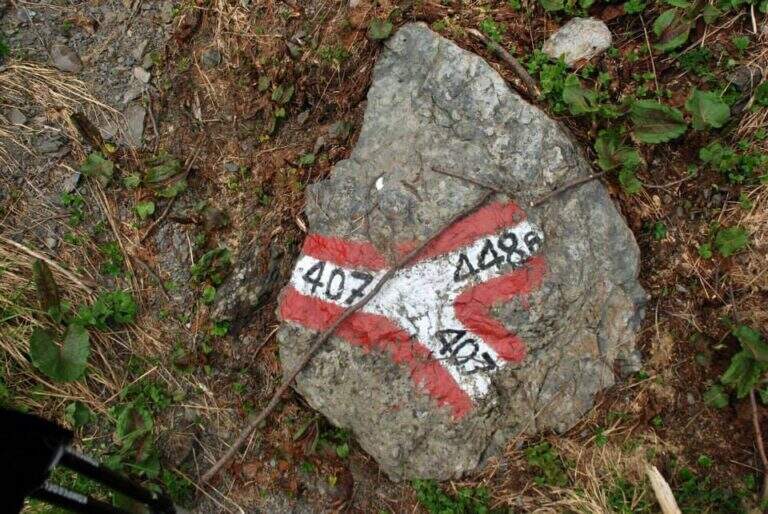
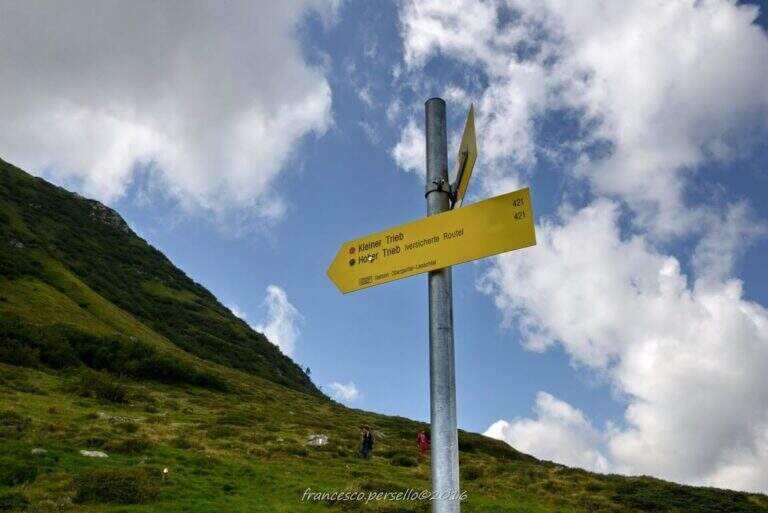
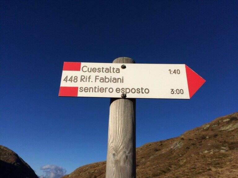
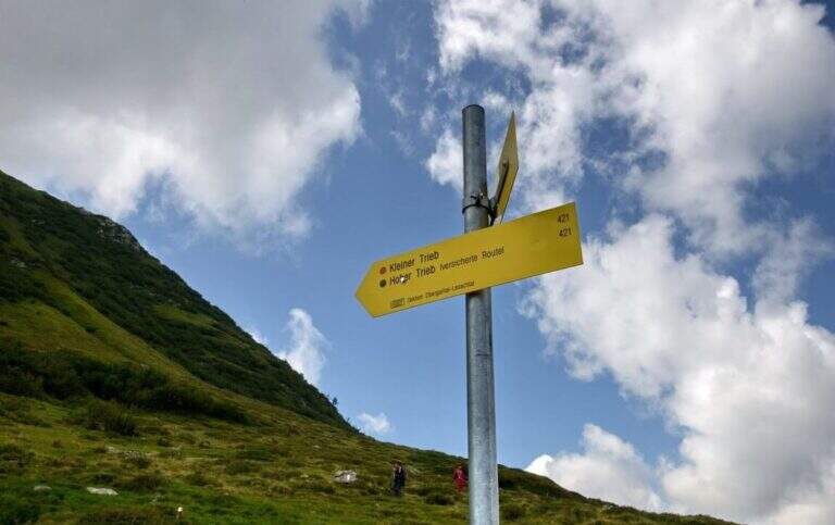
    Starting from Malga Pramosio, in the municipality of Paluzza (UD), reachable on a dirt road in good condition from the village of Claulis, along the state that from Tolmezzo rises to the Pass of Monte Croce Carnico; at the entrance of the village a clear sign indicates the Forest of Pramosio, and follow the road until the end at the malga, which also offers possibility of overnight stay (open up Google Maps). From Casera di Pramosio (1521 m) follow the path 407 to the east; immediately ignore the junction of 404 and cross the Sella di Cercevesa and the ruins of the homonymous house. At a new crossroads (1h15 from the parking lot) you leave the 407 that goes right and you stay on path 448, indicated as exposed, which cuts halfway the Cuestalta ridge (attention to the bottom in case of abundant rains). At a later crossroads, where on the left the 448 climbs to the normal Italian road, continue halfway on the 448th towards the Fabiani Refuge; the path bends towards the Red Crete, reached after a stretch of ridge a little exposed but not difficult (1770 m, 1h from the junction of 407, 2h15 total), and from here descend steeply to the Fabiani Refuge (1539 m, 2h40 total). From the refuge the path 454 climbs to Passo Pecol di Chiaula (1797 m, 3h total), border of State between Italy and Austria, with numerous testimonies of the Great War: tunnels, trenches and barracks. You descend now in the Austrian territory towards a refuge with a chapel; after a few minutes, ignore the traces on the left, it is advisable to descend to a signaled cross and follow on the left the sign for the Kleiner Trieb (path 421) going up towards Cima Medatte; steep, you reach the cross of Punta Medatte (2095 m, 1h from Passo Pecol di Chiaula, 4h total).

    ▲The path

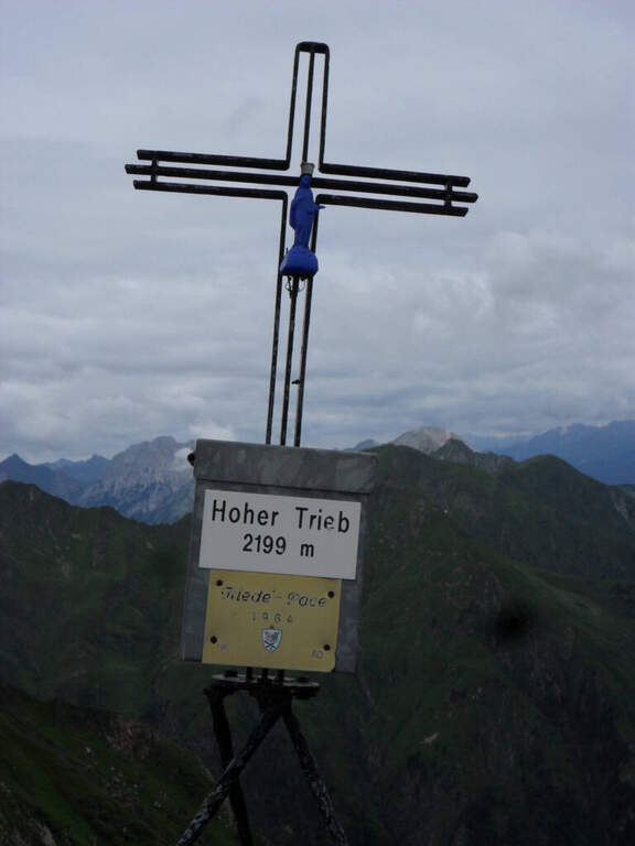
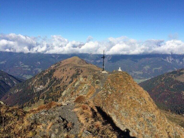
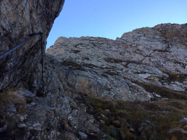
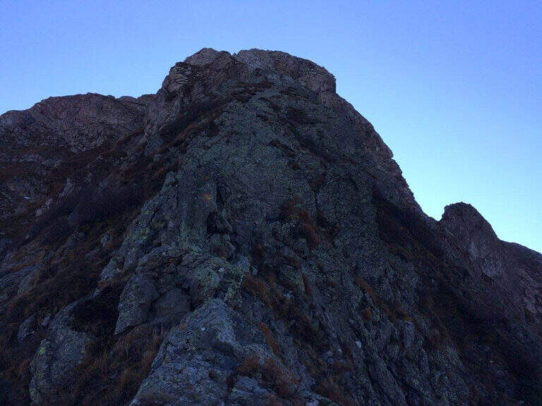
    Start here the ridge stretch with the equipped steps. Punta Medatte (Kleiner Trieb) is separated from the nearby Cuestalta (Hoher Trieb) by a saddle: descend along the ridge, equipped with handcuffed cable at the exposed points. From the saddle (10′ from Punta Medatte) starts the short ferrata that climbs to the Cuestalta: you pass some unprotected rocks until you meet the cable, which leads first on small rocks and then, from left to right, on a wall. The easy-level ferrata climbs on a very well-dressed crest, pleasant to climb; being a ridge path is exposed, but never excessively. The climb, very logical, deposits just below the top of the Cuestalta, signaled by a metal cross that is reached on the path (2199 m, 20′ from the saddle, 30′ from Punta Medatte, 4h30 overall).

    ▲Character and difficulty

    It is a beautiful itinerary that cuts a piece of the border of Italy-Austrian, long but not excessively challenging: the equipped part only serves to climb the ridge in the more vertical and exposed sections. The historical context, with the testimonies of the Great War, is one of its strengths.

    ⚠ Itinerary along (13 km, 6h15) in the border mountain environment: attention to the bottom of the half-coast stretches in case of abundant rains.
    ▲Period and safety

    Summer season, maximum altitude 2199 m. Despite no significant difficulties, long development requires good time management and attention to the weather, given the high mountain environment.

    ▲Discipline

    From the top of the Cuestalta you descend along the steep stretches, some ruins of trenches, up to the crossroads between the path 448 (normal Italian road) and the one that continues on the crest towards the Passo Pramosio. It remains on the latter, of crest only at exposed and free climbing traits, passing near Monte Scarniz (saw with a short deviation), up to Passo Pramosio (1785 m, 1h15 from Cuestalta, 5h30 overall). From the pass, visible a few hundred meters further downstream, you reach the Malga Pramosio with a stretch of path and then dirt road (6h15 overall).

    ▲To match

    Along this line there are other routes equipped, generally more difficult and athletic: in increasing order of commitment, relatively close, the Ferrata Steinbergerweg at Cellon, la Ferrata al Coglians e la Ferrata Senza Confini.

    ▲Gallery
    Technical data
    • DifficultyEasy
    • RegionFriuli-Venezia Giulia
    • GroupAlps Carnia
    • Approach4:00 h
    • Ferrata0:30 h
    • Itinerary (a/r)6:15 h
    • Hardware level difference150 m
    • Route difference678 m
    • Max2199 m
    • Length13 Km
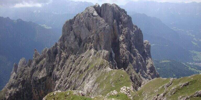
  • Sentiero Attrezzato della Cresta Giumenta al Monte Magnodeno

    Sentiero Attrezzato della Cresta Giumenta al Monte Magnodeno

    Vie Ferrate › Lombardia › Lecco
    Sentiero Attrezzato della Cresta Giumenta al Monte Magnodeno

    The Path Attrezza della Cresta Giumenta is a scenic ridge route that winds between Monte Magnodeno and Passo Fò, under the Resegone. It is very panoramic and in some sections exposed, but protected with chains for self insurance. You can walk in both ways: in the direction of Magnodeno – Passo Fò is easier, because the most challenging stretches face uphill.

    ▲Approach

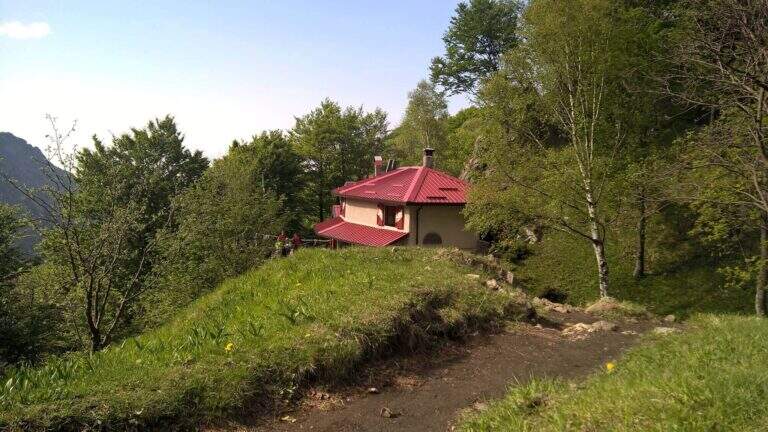
    From the large square of the cable car to Piani d’Erna, in Lecco. Arrived in Lecco from the highway that connects the city with Ballabio and Valtellina, at the exit of a gallery take the exit with the clear indications for “Piani d’Erna” and climbs between hairpins to the square (open up Google Maps). The path connects Passo Fò (Monzesi/Ghislandi Alpine bivouac) to Monte Magnodeno (Magnodeno bivouac). To start from the Magnodeno, from the parking lot take the path 1 towards the Stoppani refuge: after about 30 minutes, at a crossroad where on the left continues the path 1 (Rifugio Stoppani), you keep the right towards the Azzoni refuge and Campo de Boi; further on, to another crossroad where on the left the path 1 goes to Erna and to the Azzoni refuge, you go straight on the 25A for the Magnodeno refuge Alternatively, from Passo Fò, you can reach it from the mountain station of the cable car along the path 5 (50′) or from the car park following path 1 to the junction with 6 (1h30).

    ▲The path

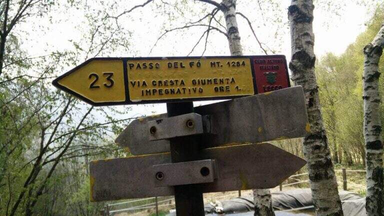
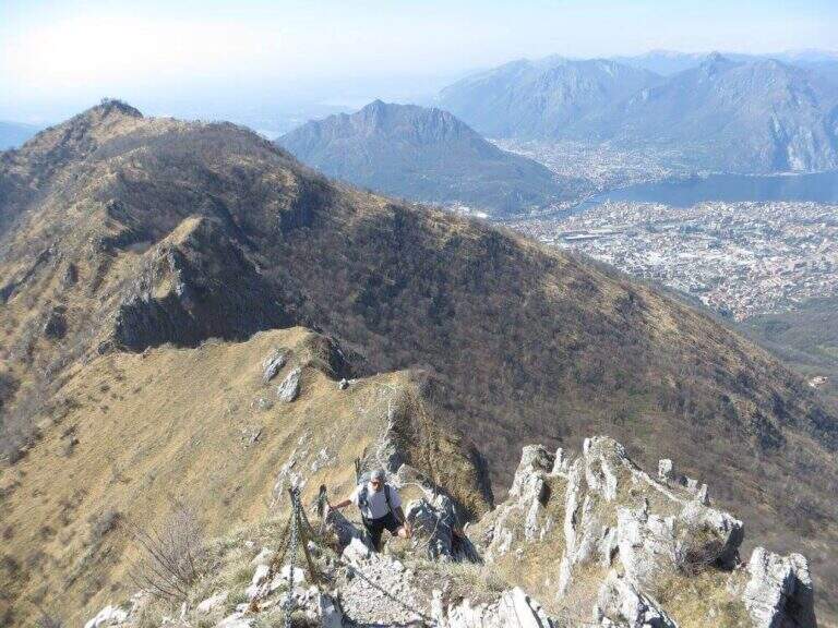
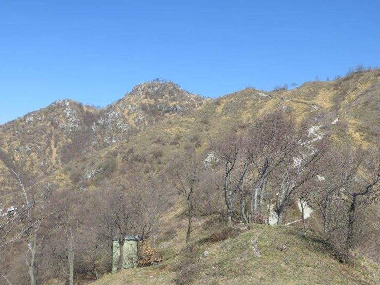
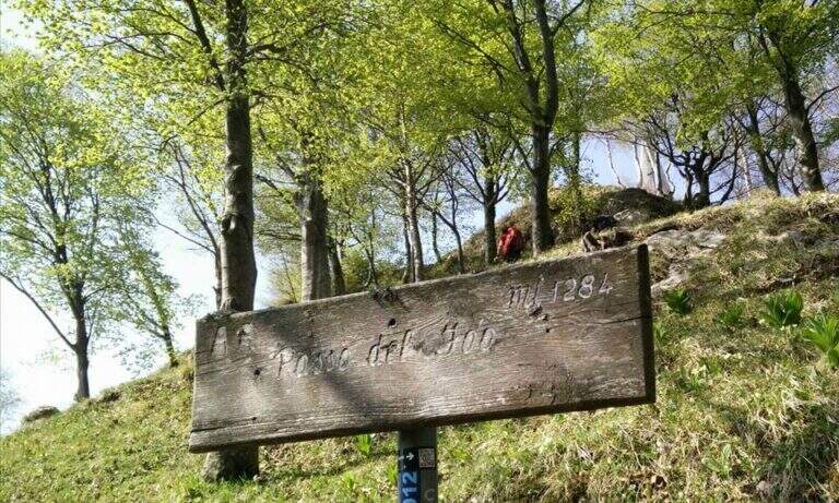
    We describe the meaning Monte Magnodeno – Passo Fò. From the peak of the Magnodeno you descend a few meters helping with some chains up to a first crossroads for the Alpine hut Monzesi; you continue briefly in that direction up to a fountain with bench, where a signposted crossroad indicates on the left the Cresta di Giumenta. Exit from the wood with a half-coast stretch you reach the beginning sign of the equipped part. It begins with a downhill stretch on slippery rocks, then a second stretch equipped in climbs; therefore a long stretch of crest, not difficult but exposed, with the chain present almost everywhere. Risaled a tower, the crest leads to the most challenging and satisfying section: a series of towers that lead to the Cima del Fò, partly laughtered and partly wandered with the help of the chain and, in some cases, of the rope with sheath; stand out a couple of small walls, short but more climbing than the rest. At the end of an exposed tower you return to the crest until a first technically more difficult canal; a climb between towers and saddles engages for 10-15 minutes until the Cima Fò with its cross (1348 m), from which is clearly visible the Azzoni refuge in the summit of Resegone. From the top you go down to a saddle where, on the right, you start a way of escape that avoids the last difficult stretches, while on the left continues the equipped; staying on the crest you get to the key passage, a channel that climbing takes the look of a fireplace, to rise for about ten meters. Finally, there are a few short rocky pillars up to the monument to the Falls of the Mountain and then to the Passo Fò (1284 m, 1h30 from the attack, 3h30 overall), under the bastion on which the Ferrata del Centenario and the Sentiero Attrezzato del Caminetto, natural continuations of the route.

    ▲Character and difficulty

    Although it is not difficult, some stretches are exposed and, if you go downhill, require attention: for this the Magnodeno sense – Passo Fò, which faces uphill the most challenging steps. The chain, present along almost all the way, allows a comfortable self insurance; the more technical points are a canal and the fireplace of the key passage.

    ⚠ It grows panoramic but exposed, with some stretches on slippery rock: steady foot and attention, especially in the steps facing downhill.
    ▲Period and safety

    Itinerary for the hiking season (max. 1348 m). The development is long and ridge: it serves good management of the step in the exposed sections and a minimum of habit to the equipped excursions.

    ▲Discipline

    The descent depends on the chosen direction: you can use the other of the two approaching options as a way back to the end of the path, reducing the time needed by a 20% indicative.

    ▲To match

    At Passo Fò the path naturally connects to the bastion of the Resegone, where the Ferrata del Centenario e il Sentiero Attrezzato del Caminetto, its ideal continuations.

    ▲Gallery
    Technical data
    • DifficultyEasy
    • RegionLombardy
    • GroupResegone
    • Approach2:00 h
    • Ferrata1:30 h
    • Itinerary (a/r)5:00 h
    • Hardware level difference200 m
    • Route difference850 m
    • Max1348 m
    • Length9,8 Km
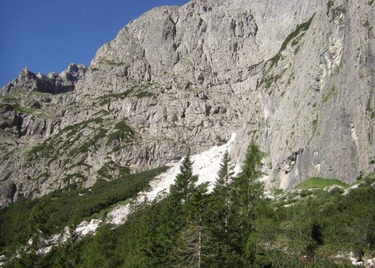
  • Path Ceria Merlone at Modeon del Buinz

    Path Ceria Merlone at Modeon del Buinz

    Vie Ferrate › Friuli-Venezia Giulia › Udine
    Path Ceria Merlone at Modeon del Buinz
    Moderately Hard● OpenDescriptionComplexityMapsGallery

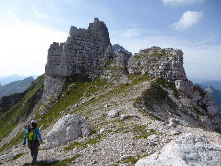
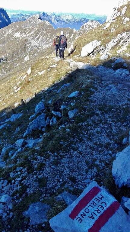
    The Ceria Merlone Trail is a long and panoramic route of the Julian Alps, starting from the Montasio plateau. After a long approach to the Forcella Lavinal dell’Orso, follow a magnificent ridge path that closes a large downhill ring to the Rifugio Brazzà. Numerous traits are not protected, and in some cases require short climbing passes: a superb path but to be experienced. The route is dedicated to the mountaineers Celestino Ceria and Ruggero Merlone, and was inaugurated in 1971 by the Cividale Alpine Battalion, in memory of the line held by the Alpini on this ridge during the Great War.

    ▲Approach

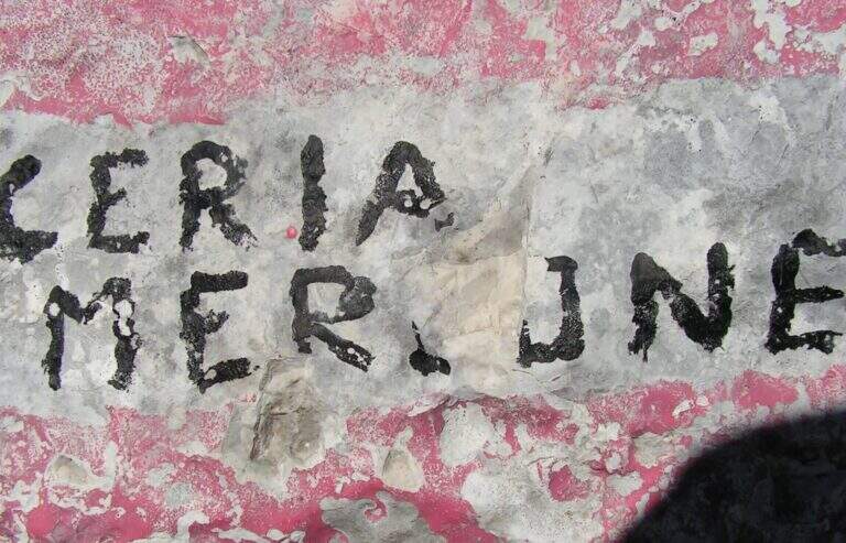
    It starts from a large parking lot along the road that connects Malga Montasio with Sella Nevea, on the Montasio plateau (UD). To get to Sella Nevea you reach Chiusaforte, 20 minutes from the Carnia-Tolmezzo exit of A23; from there follow the signs to Sella Nevea towards the east, you pass the bridge and you drive for 20 km to the village, where a hairpin a brown sign indicates the plateau of Montasio, to follow until the end of the road (open up Google Maps). The route is proposed here from the east (Forcella Lavinal dell’Orso) to the west (Cima Terrarossa), towards which many equipped sections run uphill. From the parking lot (about 1500 m) you climb on dirt road towards the Rifugio Brazzà; after a few minutes you cross a dirt road with 624 signpost that cuts right into a false plateau. Losing a little bit of altitude you pass the Casere Parte di Mezzo and then the Casere Larice (1479 m, 30′ from the parking lot); ignored a track to the right that goes down to Sella Nevea, you reach the Casere Cregnedul Refuge above (1515 m, 1h from the parking lot). It is snowed on the path 625 that climbs from Sella Nevea, it is held the left uphill, first in the forest and then pointing to the north; the south wall of the Cregnedul to Passo degli Scalini (2022 m, 1h from Casere Cregnedul Refuge, 2h totals). Passed the pass opens a valley: on the left you can see the Lavinal Forcella dell’Orso and the ridge of Ferrata Goitan. You cut the valley following the track and, on the opposite side, the white-red signs, going up with a certain affanno towards the fork; just before you follow a writing on rock and a trace that detaches to the left: here begins the Path Ceria Merlone (30′ from the Passo degli Scalini, about 2h30 total).

    ▲The path

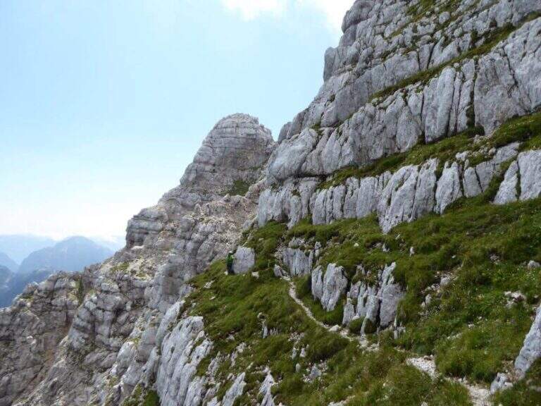
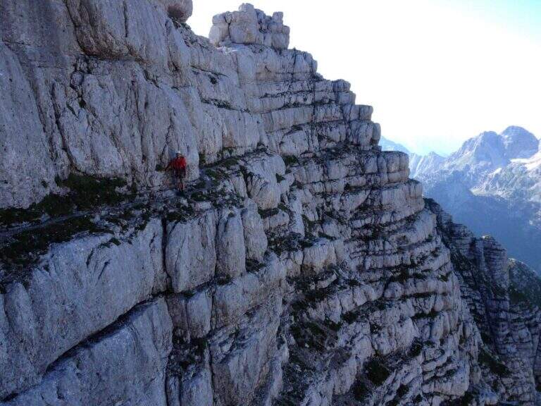
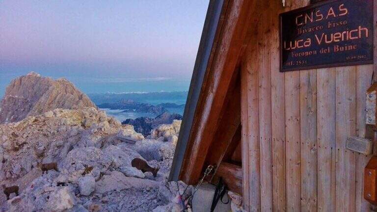
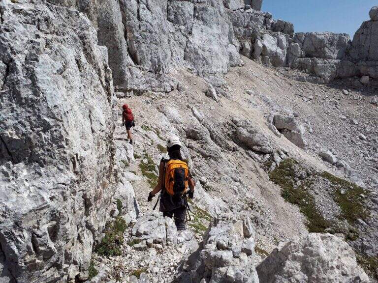
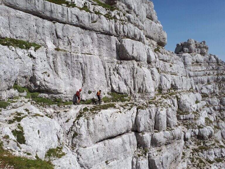
    The first goal is the Forcella Cregnedul, reached by gaining around 200 meters around the imposing walls of Punta Plagnis. It climbs on a pebble bottom up to a first stretch equipped that exceeds some rocks, a vertical wall and a tilted plaque; left behind the Lavinal Forcella dell'Orso, proceeds diagonally up to a fireplace equipped and a metal ladder resting on the rock, and in an alternation of passages on the right and on the left closes the first tiring section to the Forcella Cregnedul (2340 m). Now follow the trail on a wide unprotected nod that wanders the southern walls of Punta Plagnis, passing from the east to the west side: the passages are exposed but generally wide, except for a couple of forks and rocks on the west side where the path tightens; the most exposed sections have a handrail. With a stretch equipped downhill you descend a few meters, then walk on wide and comfortable cenges to the Forca de la Val (2352 m, 1h15 from Forcella Cregnedul), which separates the Modeon del Buinz from the Cima de la Puartate. You can climb equipped canals interspersed by detritic gland, holding to the south to avoid to the north the steep wall, in a stretch rich of exposed protected cenges; you reach a fork nestled and you begin to wander the southern wall of the Modeon del Buinz towards the Sella di Buinz, with in front of the Foronon del Buinz and its bivouac just below the summit. There is an exposed nod equipped, you climb a short stretch sprotetto on an unstable background, you walk a census and you take on the west wall of Modeon; along a wide ridge on the south side, on a slight ascent, you pass stretches equipped with rocks and easy rocky balconies up to the new and functional Bivacco Vuerich (2531 m, 1h15 from Forca de la Val, 3h45 from the attack). From the top of the Foronon del Buinz follow the wide ridge, walk through a walkway and start to lose altitude with easy passages of climbing, equipped in the most demanding cases; holding on the south side you walk exposed cenges usually not protected and you reach a new vertical stretch, with a well-equipped canal but well-dressed, followed by some rocks, up to the Forca de Lis Siens From the wide saddle the path runs on a false plateau between modest climbs on the south side to the crossroads marked with stone writing (2285 m, 15′ from Forca de Lis Siens, 5h from the attack) between the climb to Cima Terrarossa and the Path Ceria Merlone, where the equipped road ends.

    ▲Character and difficulty

    It has no particular technical difficulties, neither in the equipped or unprotected traits; however, it deserves great attention to the numerous passages exposed along the canals and canals. It develops entirely at altitude, with the Bivacco Vuerich halfway in excellent conditions, but with only two escape routes, both unmarked.

    ⚠ Itinerary very long (9h, 16 km) in high mountain environment, with many exposed and unprotected features and short climbing passes. The only two escape routes — in Forca de la Val towards the Conca di Casera Cregnedul and in Punta Plagnis for Plagnota — are steep and unmarked, to be used only in emergency. Start soon, with stable weather and good autonomy.
    ▲Period and safety

    High mountain summer itinerary in the Julian Alps (max. 2531 m). The equipment and signs are in good condition, but the development, exposure and scarcity of escape routes require experience, training and attention to the weather.

    ▲Discipline

    From the final crossroads (2285 m) the quickest descent is to the left, towards the plateau of Montasio; if you want you can climb to the nearby Cima Terrarossa (2420 m, 45′ return). Keeping the right and descending towards the plateau you reach the Rifugio Brazzà (1660 m, 1h15 from the end of the ferrata) and then parking (about 1h30 from the end, 9h overall).

    ▲To match

    The environment is suitable for several days: you can climb to the Jof in Montasio for the Ferrata Amalia and use the Ceria Merlone to return to the north side, or match it to Sentiero Attrezzato Leva overnight in a refuge or bivouac. From the Lavinal Fork of the Bear you can take the Ferrata Goitan towards the Jof Fuart. Staying in the Julian Alps we also signal Ferrata Julia at Canin e la Ferrata della Vita al Mangart.

    ▲Gallery
    Technical data
    • DifficultyModerately Hard
    • RegionFriuli-Venezia Giulia
    • GroupJulian Alps
    • Approach2:30 h
    • Ferrata5:00 h
    • Itinerary (a/r)9:00 h
    • Hardware level difference257 m
    • Route difference1031 m
    • Max2531 m
    • Length16 Km
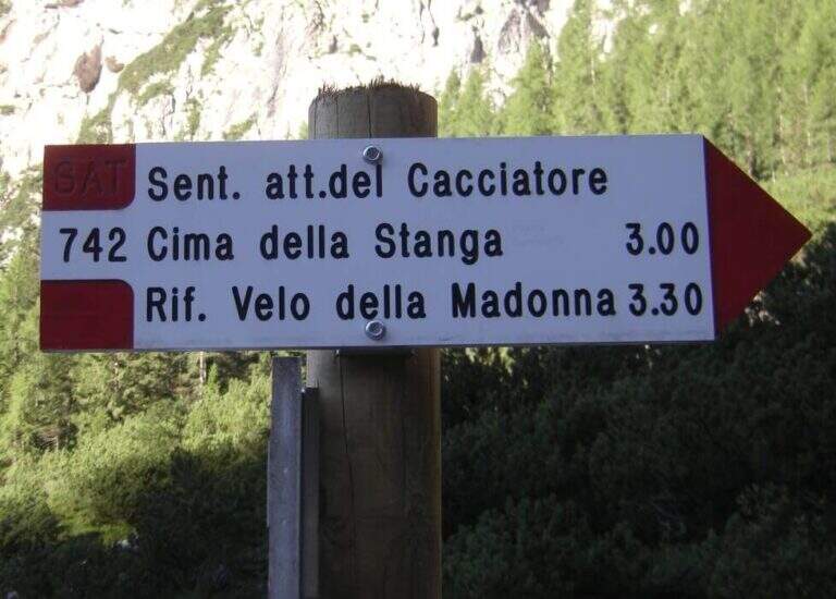
  • Sentiero Attrezzato Cecilia alla Grigna Meridio

    Sentiero Attrezzato Cecilia alla Grigna Meridio

    Vie Ferrate › Lombardia › Lecco
    Sentiero Attrezzato Cecilia alla Grigna Meridio
    Moderately Hard● OpenDescriptionComplexityMapsGallery

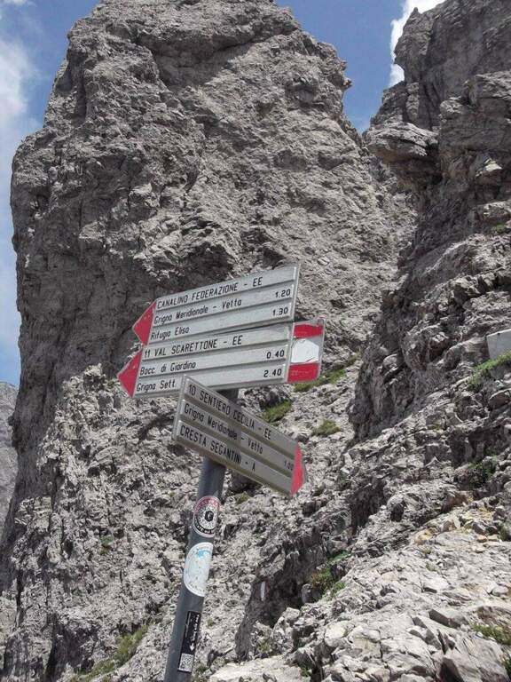
    The Path Attrezzato Cecilia connects the Rosalba Refuge to the path of the Cresta Cermenati, which climbs to the summit of the Grigna Meridionale (Grignetta). It is not a purely vertical path: it is useful to cut, among continuous climbs, the rocky wall that runs under the Cresta Segantini. A long and challenging itinerary in the legs, in one of the most beloved corners of the Grigne.

    ▲Approach

    Starting from Piani dei Resinelli, in the province of Lecco, reached by Ballabio climbing the hairpin bends. When you arrive at the hamlet you will find parking near the former Alippi refuge (open up Google Maps). From here you go up to the Rosalba Refuge following the path 9, known as Sentiero Attrezzato delle Foppe (1h45 from the parking lot). Alternatively, along the ascent you can choose the variant of the Attrezza dei Morti Path, steeper, which saves about fifteen minutes and still leads to the refuge (1h30 from the parking lot).
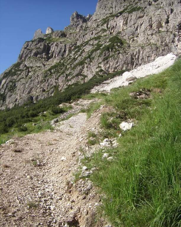
    ▲The path

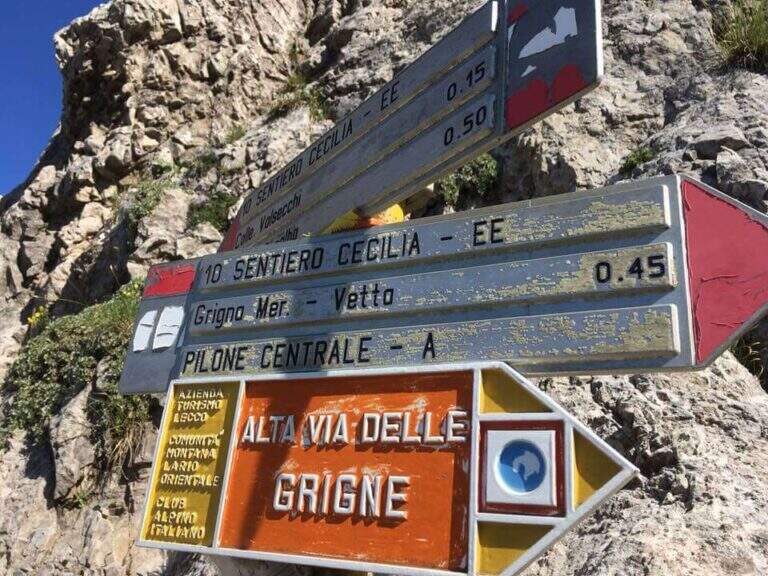
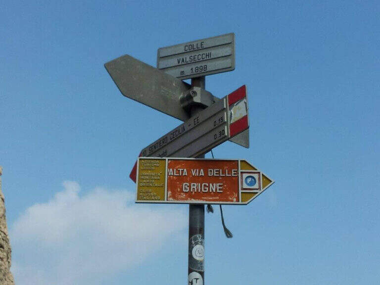
    From the Rifugio Rosalba take the path 10, which enters a rocky amphitheatre and in about ten minutes, with the first metal equipment, leads to the Colle Garibaldi (1824 m). Continue now on the slope of the Val Scarettone, meeting some equipped sections, up to the Colle Valsecchi (1898 m), where the Sentiero della Direttissima is set in Cecilia. Shortly after you ignore the left deviation for the Path of the Val Scarettone and continue between climbs under the Cresta Segantini. It faces a long diagonal crossing with chains under the Central Pilone, alternating stretches of convenient path to rocks, transverses and cenges, sometimes equipped with chains sometimes not. There are some exposed but well-painted walls up to the path 7 of the Cresta Cermenati: from here the difficulties fall clearly and, with still few steps equipped with chain, you gain the summit of the South Grigna (1h30 from the Rosalba Refuge, 3h15 overall).

    ▲Character and difficulty

    Technically it is not an extreme itinerary, but it demands constant attention for the numerous traits exposed on cenges and transverses, some of which are not protected, and for long and tiring development. Along the way it is necessary to follow carefully the signs (blue-red circles), which in some part is not immediate.

    ⚠ For most of the route you walk along traverses placed under the high Cresta Segantini, a mountaineering itinerary: the helmet is highly recommended for the whole route, for the risk of rocks from above.
    ▲Period and safety

    High mountain summer itinerary in the Grigne (max. 2184 m). The development of 14 km and the exposed sections require good physical preparation, steady pace and attention to orientation.

    ▲Discipline

    From the top of the Grignetta you can descend in several ways. Returning back, you can walk through the Path Attrezzato Cecilia or the Sentiero Attrezzato della Val Scarettone (an imperative downhill) to the Rifugio Rosalba, and then the Sentiero delle Foppe or the variant of the Morti (about 2h30 from the top, 5h30 total). Alternatively, go down the south side along the Cresta Cermenati up to the Rifugio Carlo Porta and then to the parking lot, or face the most complicated Cresta Sinigaglia, with its equipped path, always towards the Rifugio Carlo Porta: in the latter case a long and beautiful ring of about 7 hours total.

    ▲To match

    Cecilia is often faced after Sentiero Attrezzato delle Foppe. Staying in Grigne area you can think of a multi-day itinerary that includes the Ferrata del CAI Mandello al Sasso Carbonari on the Grignone; on the way down to the lake there is the Hiking Trail e il Route of the River.

    ▲Gallery
    Technical data
    • DifficultyModerately Hard
    • RegionLombardy
    • GroupGrims
    • Approach1:45 h
    • Ferrata1:30 h
    • Itinerary (a/r)5:30 h
    • Hardware level difference259 m
    • Route difference850 m
    • Max2184 m
    • Length14 Km
  • Sentiero Attrezzato degli Alpini in Punta Charrà

    Sentiero Attrezzato degli Alpini in Punta Charrà

    Vie Ferrate › Piedmont › Turin
    Sentiero Attrezzato degli Alpini in Punta Charrà
    Moderately Hard● OpenDescriptionComplexityMapsGallery

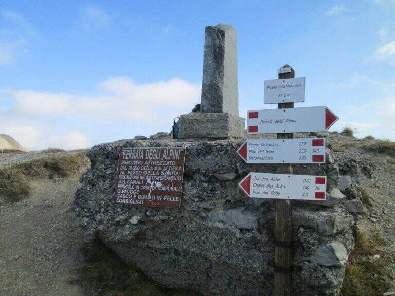
    On the ridge that divides Italy and France over Bardonecchia, this equipped path connects the Passo della Mulattiera to Passo della Sanità, at the foot of Punta Charrà. The development is almost entirely horizontal: the equipment is mainly used to secure the progression on soil at times unstable and on thin waxes, while the vertical passages are practically absent. There is a long itinerary and great hiking breath, but to be faced with stable time because along the path there are no support points.

    ▲Approach

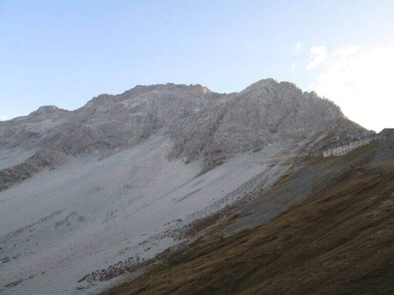
    The recommended base is the Colletto del Colomion, which can be reached by cable car from Bardonecchia (Pian del Sole) and by car. Who climbs by car points to the small town of Puys: you arrive first to Beaulard, in Val di Susa, and — going up from the valley — just before leaving the village you cross the railway to the left taking Via San Giusto; you follow it up to a blue sign that indicates Puys at 3 km, on narrow but asphalted road. From Puys you continue on dirt until the Colletto del Colomion, where you should leave the car because beyond the bottom becomes difficult (open up Google Maps). From the parking lot you walk on the dirt road towards the Passo della Mulattiera: the path climbs first to the edge of the forest in a beautiful valley, then cuts halfway up to the pass (2412 m, 1h15 from the parking lot), where rises the barracks of the Alpini XVI, abandoned but visitable. The Passo della Mulattiera is a well-marked crossroads: it is held the left towards Punta Charrà, which faces the obvious carving in the rock. It avoids the steep direct ridge and cuts diagonally the north slope, on a blue track and radi signs, until the beginning of the equipment (15′ from the step, 1h30 from the parking lot).

    ▲The path

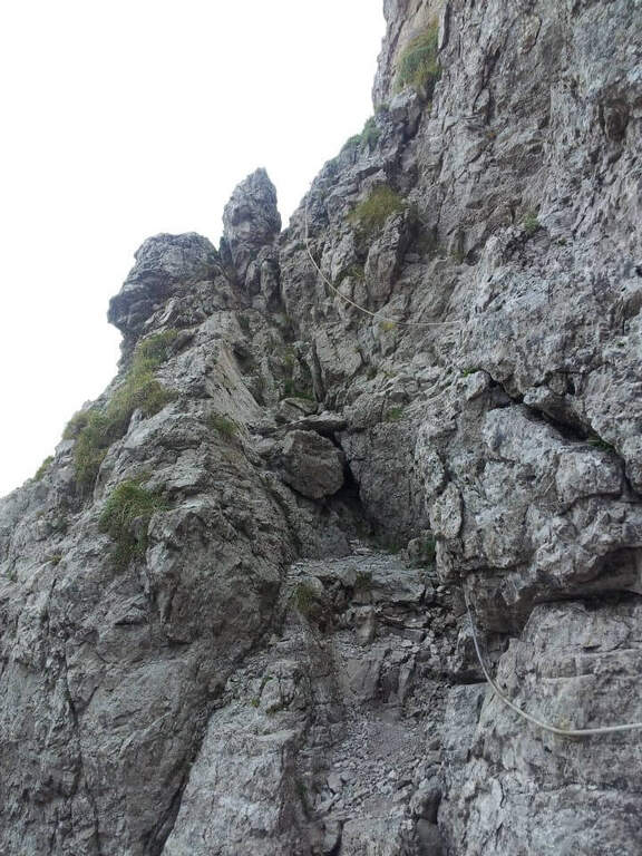
    The cable starts along a nod, first flat and then more marked. At first the rope is dated and lasca, but the ease of the soil does not create problems; later the nod shrinks and the bottom, made of guinea pig, gives little safety, so the cable acts as a precious handrail. We proceed between carvings and canals to be overcome with cable or chains, always to your right, with exposure that grows but technical difficulties almost null, except some point for the infido fund. The equipment ends at Passo della Sanità (2629 m, about 1h from Passo della Mulattiera). The optional climb — but recommended — to the summit follows the obvious ridge: you first gain a grassy slope on easy track up to a first natural carving, then you climb with caution between smossi rocks, transverses, spikes and rocks, following the numerous omits and red signs; where you do not follow the dorsal remains on the south side. After a couple of ups and downs you touch the top of Punta Charrà (2843 m, 1h from Passo della Sanità, 2h from Passo della Mulattiera, about 3h30 overall).

    ▲Character and difficulty

    Taken to itself, the equipped part is easy and without real technical difficulties, developing mainly horizontally. What is committed is the high mountain environment: the excursion is long and requires preparation, experience and orientation, especially in case of uncertain weather. The equipment was modernized and in good condition at 2021.

    ⚠ Itinerary not recommended with unstable weather: the route lacks support points. Also at the beginning of the summer season it is not rare to find snowy canals in rather exposed traits: recommended peak.
    ▲Period and safety

    Summer season, with a maximum altitude of 2843 m in the Alpine border. For the length of the ring and the exposure of some traits serve steady pace, training for the total 6h45 and attention to the snow conditions remaining in the canalons.

    ▲Discipline

    From the top you return to the Passo della Sanità (about 45′). From here two possibilities. The first is to retrace the Alpine Path to the Mulattiera Pass and then return to the parking lot on the ascent route. The second is to close a ring around Punta Charrà descending into French territory in the valley des Acles: it falls steeply to zig-zag on debris to the wood, where the path is almost flat, then cuts the south side up to a rocky shoulder beyond which appear the barracks of the French army under the Col des Acles; from there follow the signs that bring back to the ascent 30 From the pass you return to the parking lot (about 6h45 total).

    ▲Gallery
    Technical data
    • DifficultyModerately Hard
    • RegionPiedmont
    • GroupCozie Alps – Val di Susa
    • Approach1:30 h
    • Ferrata2:00 h
    • Itinerary (a/r)6:45 h
    • Hardware level difference217 m
    • Route difference850 m
    • Max2843 m
    • Length14 Km
Need help? Write to us!