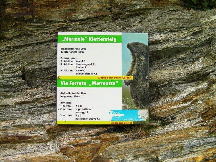
Regione: Trentino-Alto Adige

  • Ferrata di Punta Marmotta (Murmele)

    Ferrata di Punta Marmotta (Murmele)

    Vie Ferrate › Trentino-Alto Adige › Bolzano
    Ferrata di Punta Marmotta (Murmele)
    Moderately Hard● OpenDescriptionComplexityMapsGallery

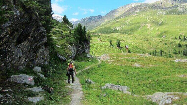
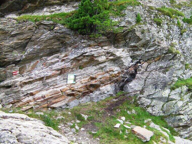
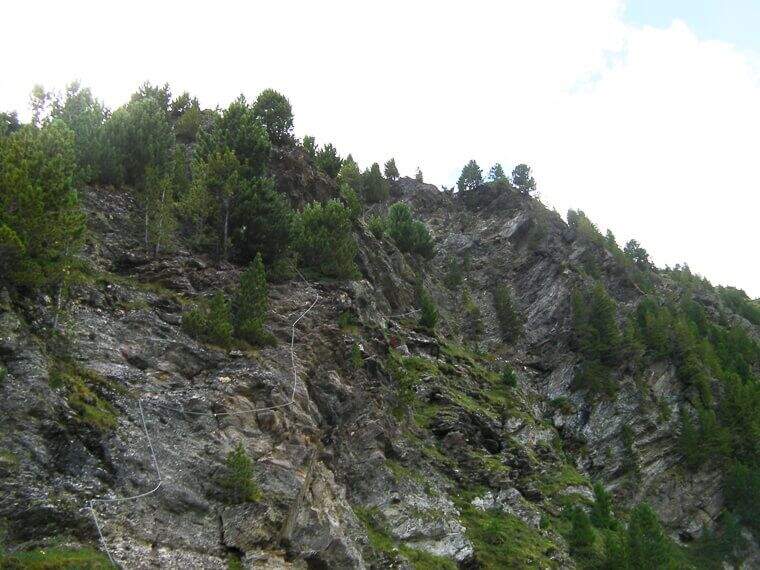
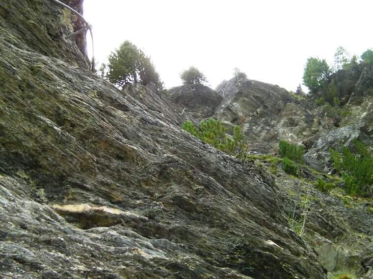
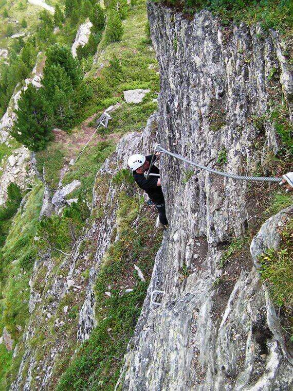
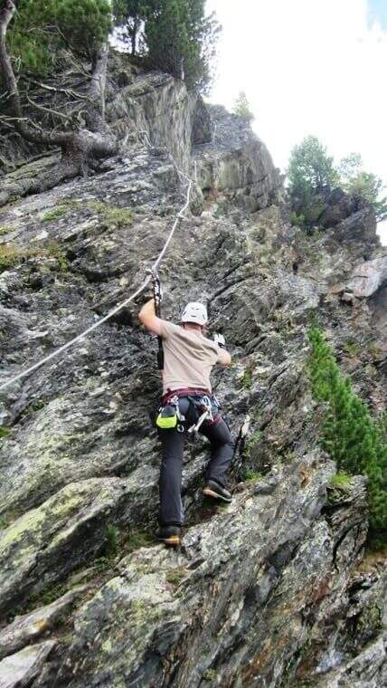
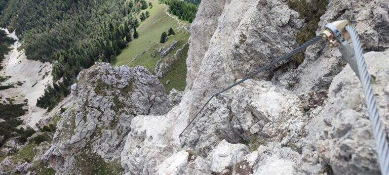
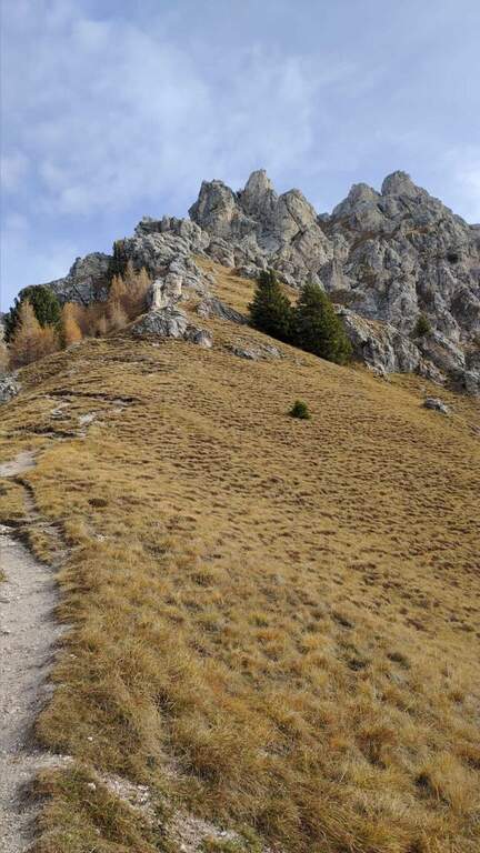
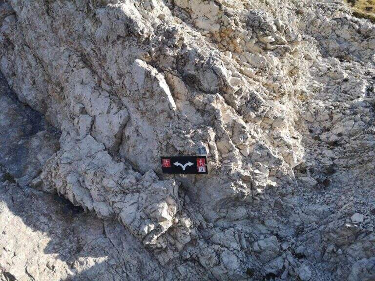
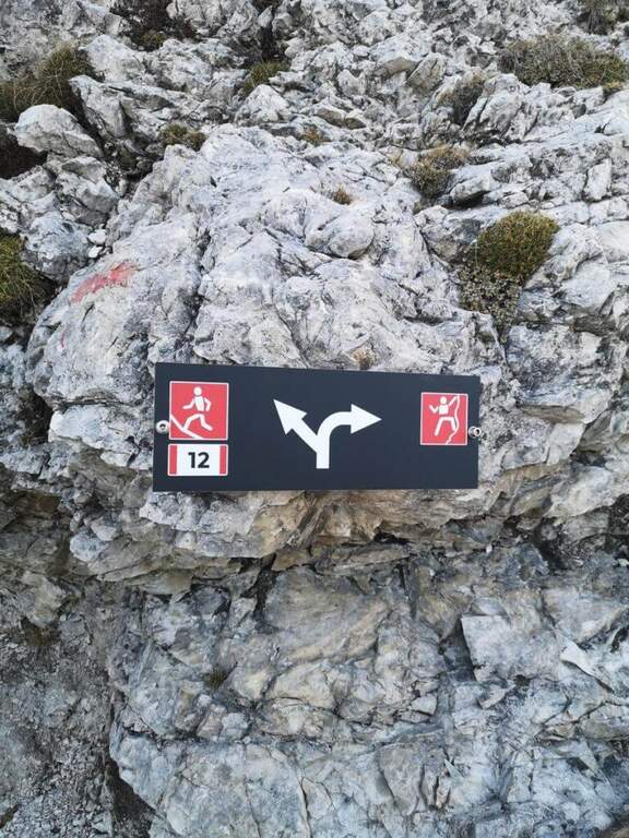
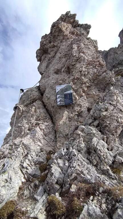
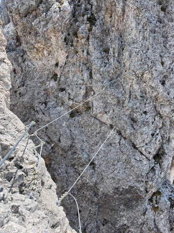
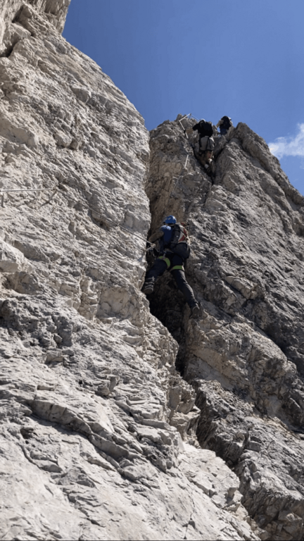
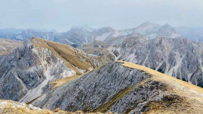
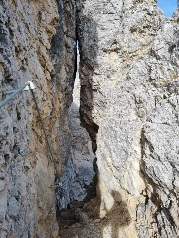
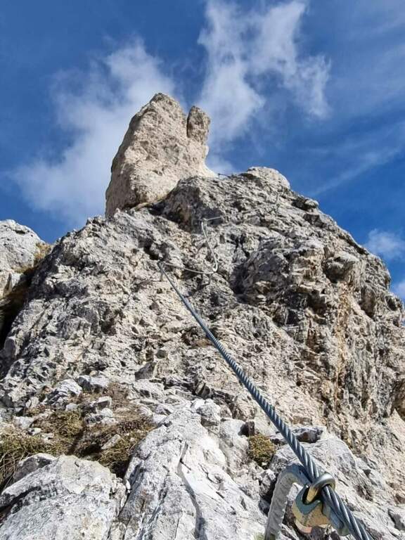
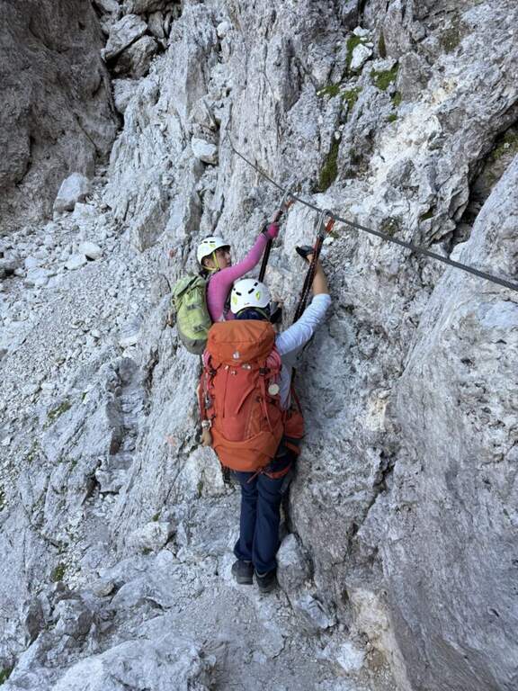
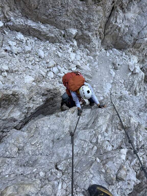
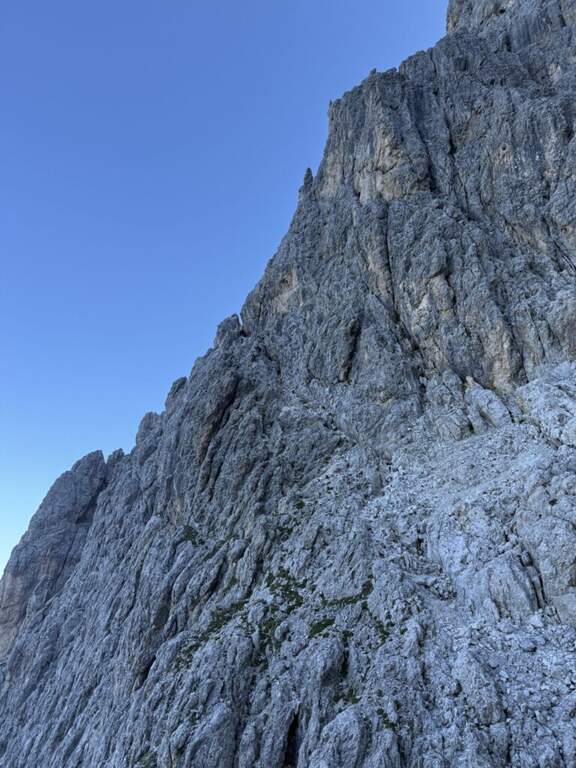
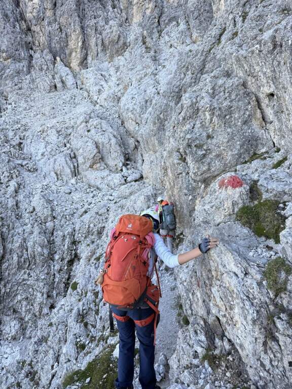
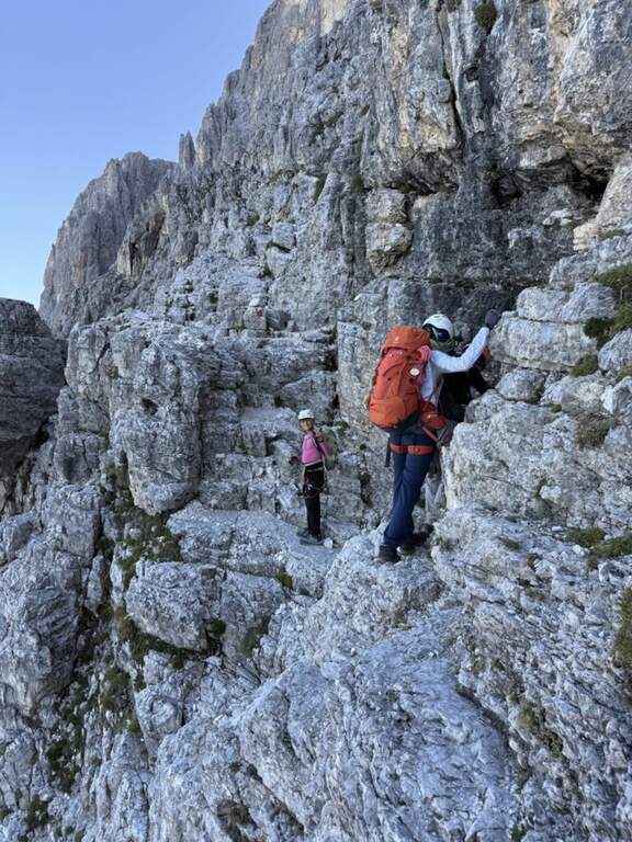
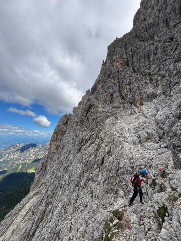
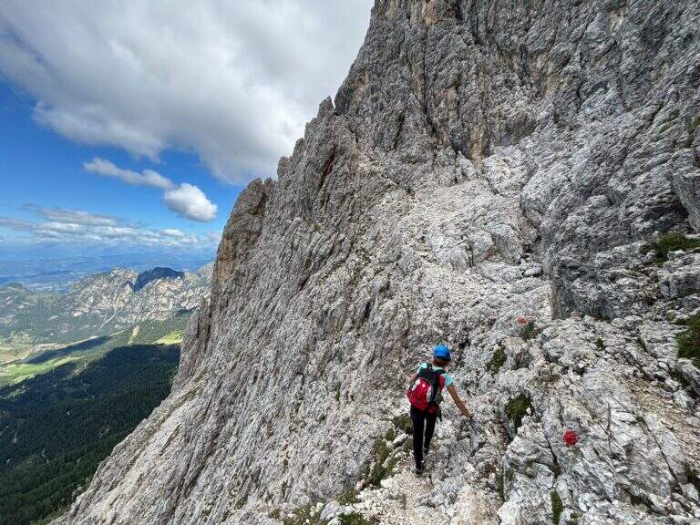
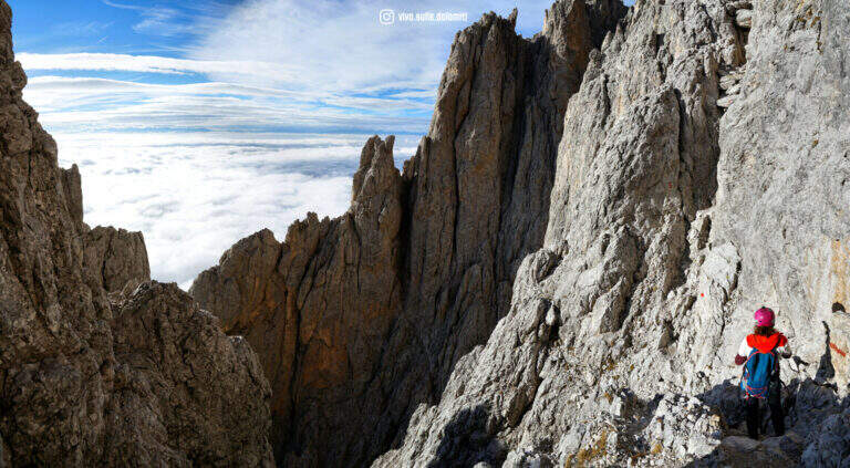
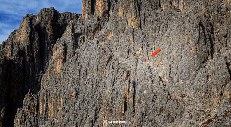
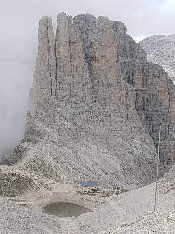
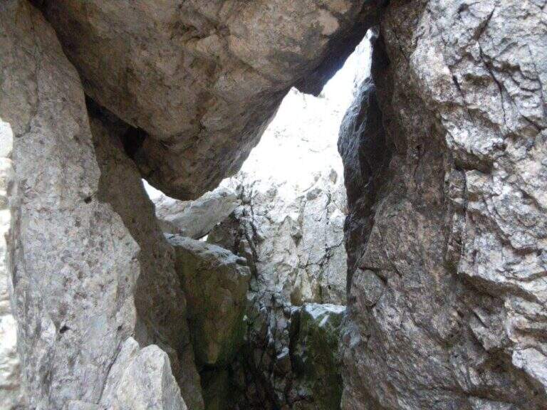
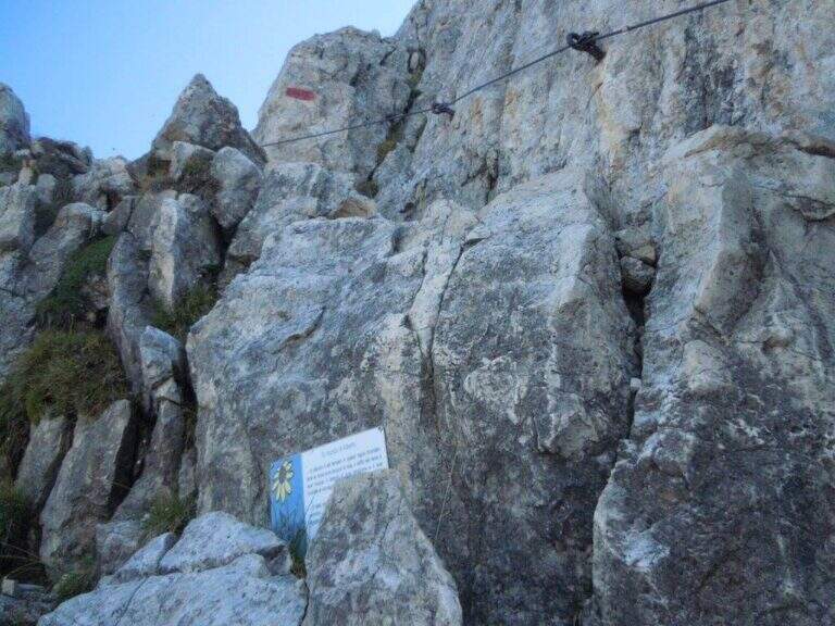
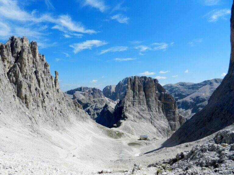
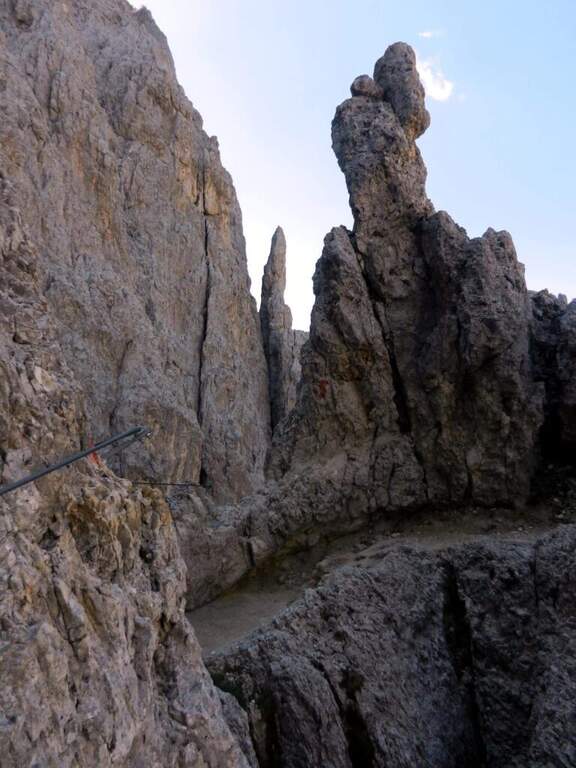
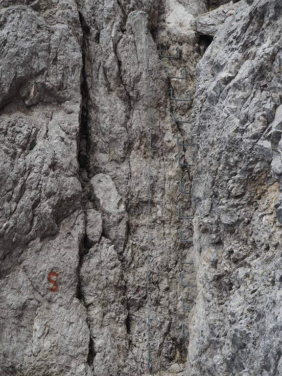
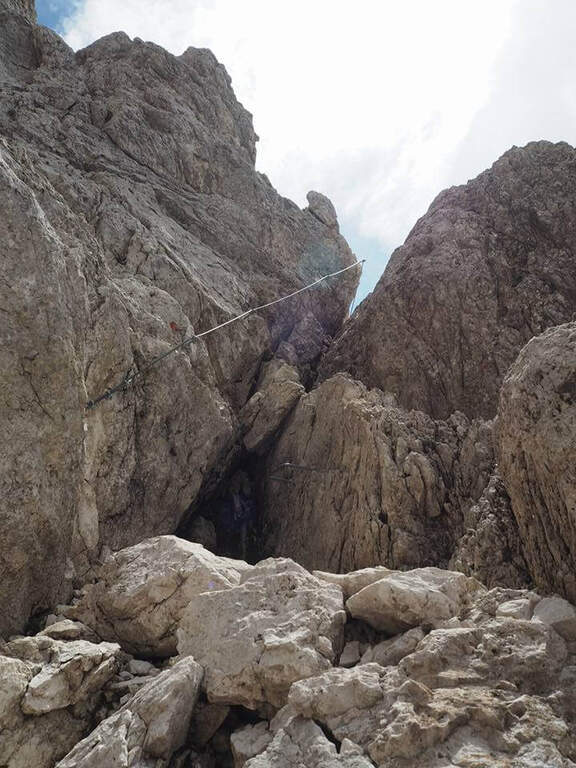
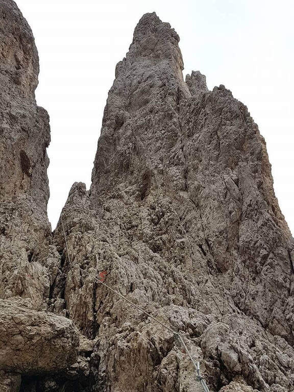
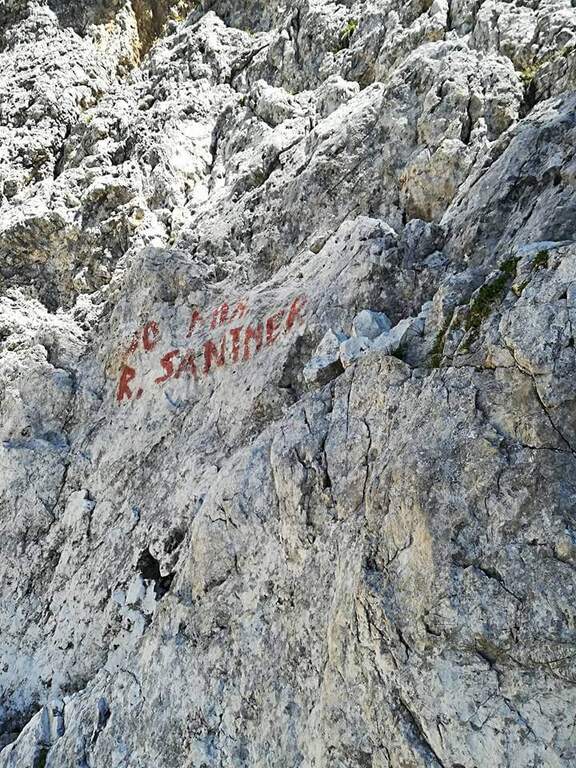
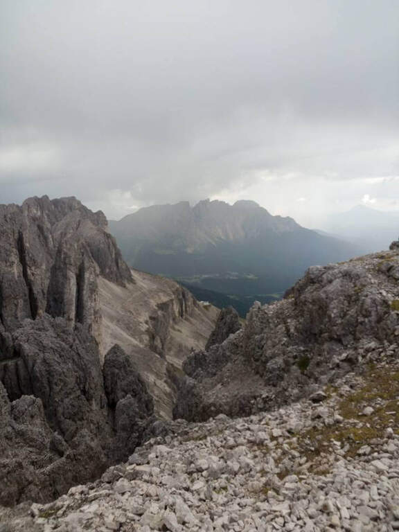
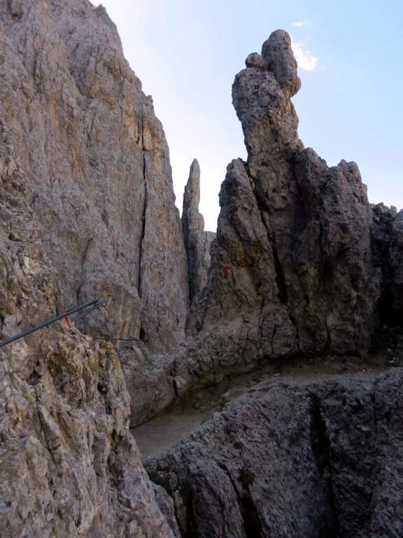
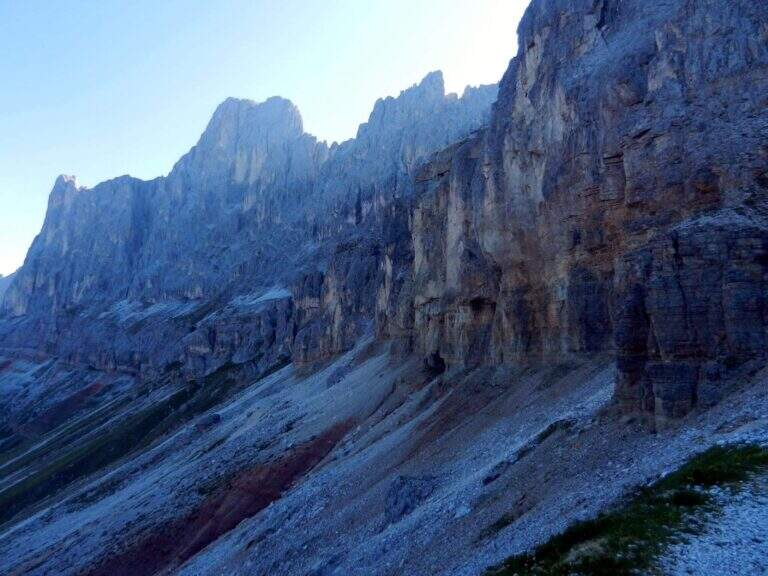
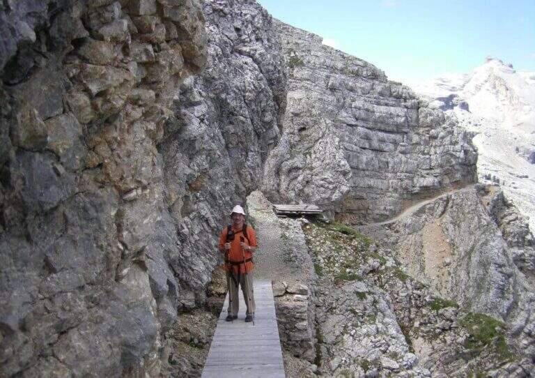
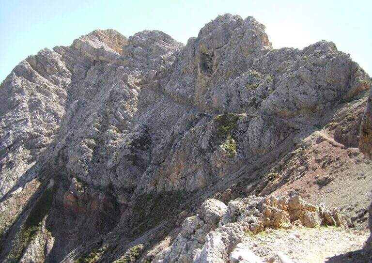
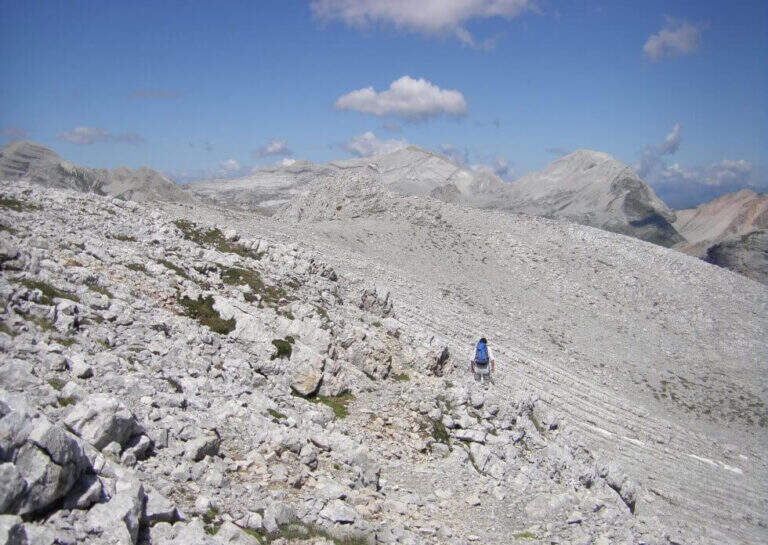
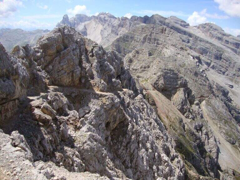
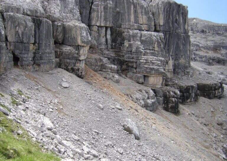
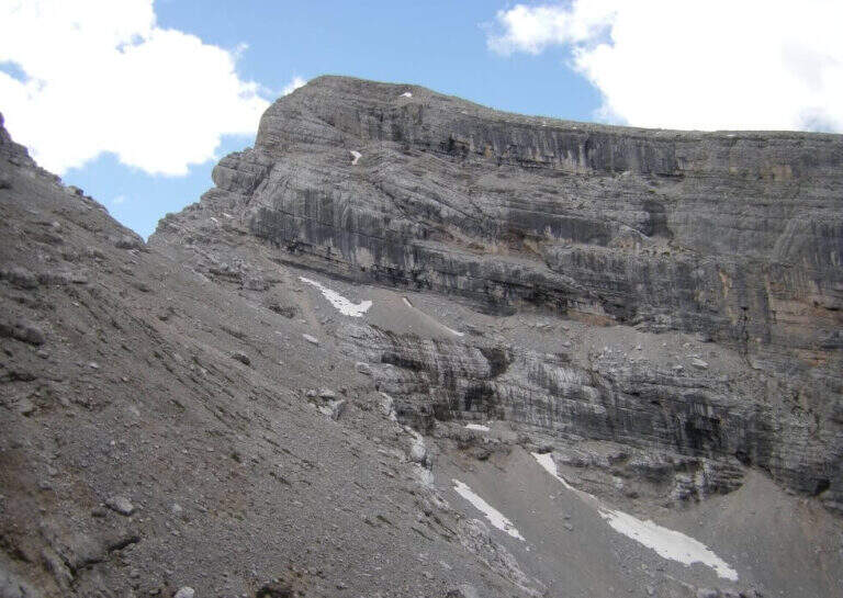
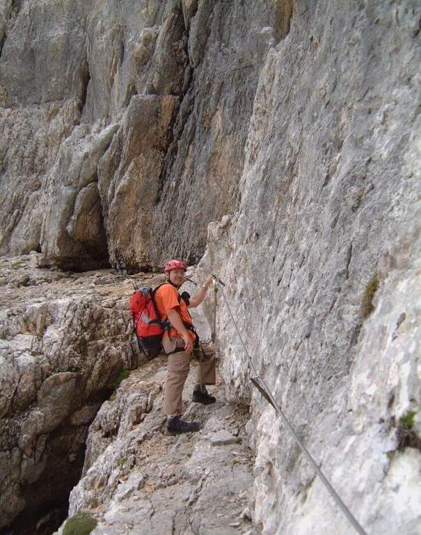
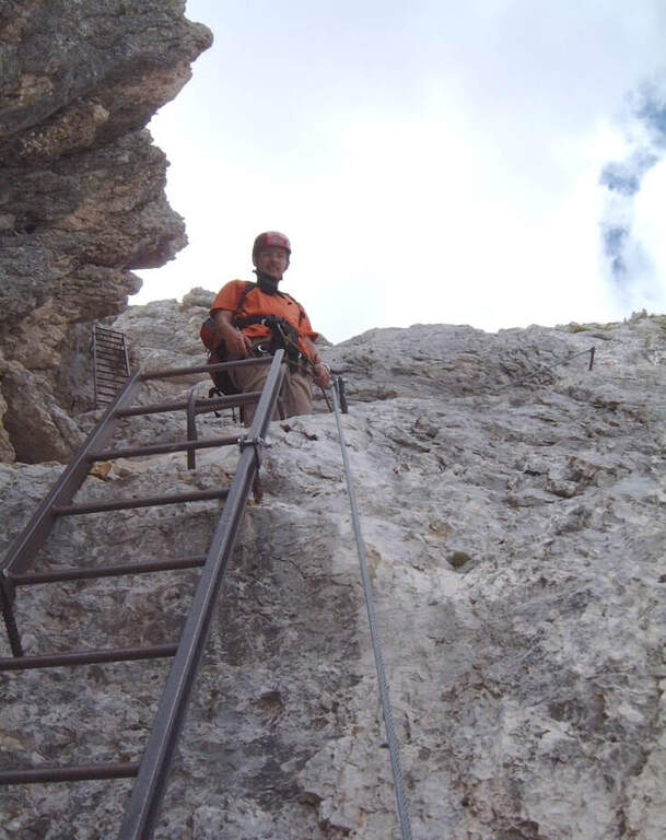
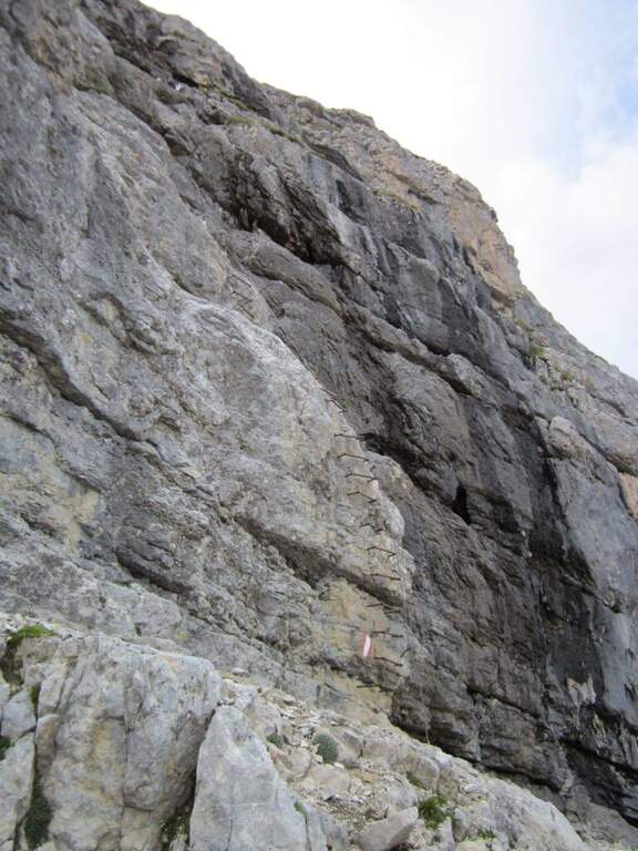
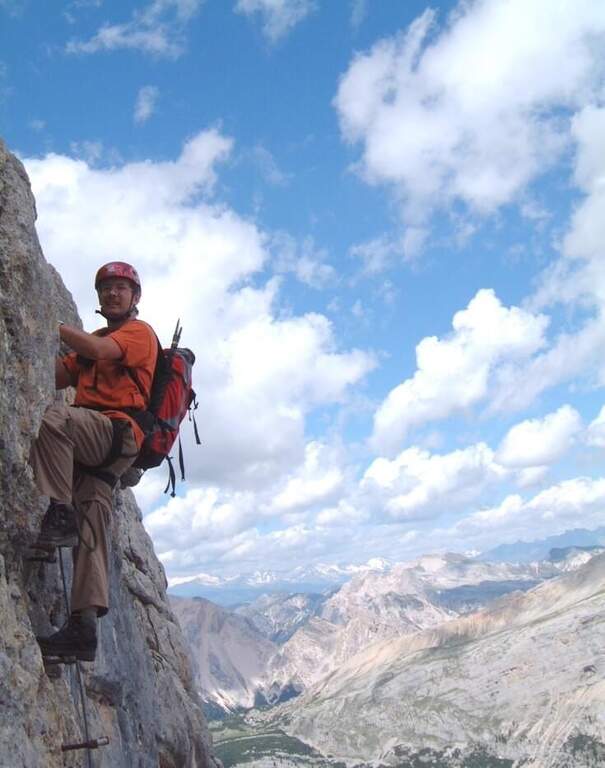
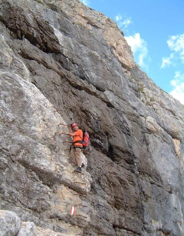
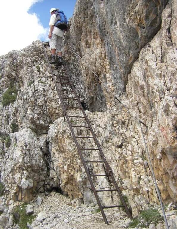
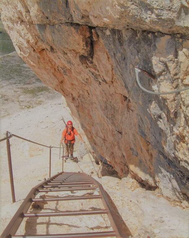
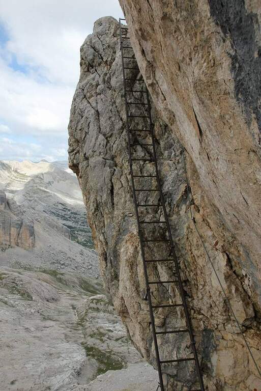
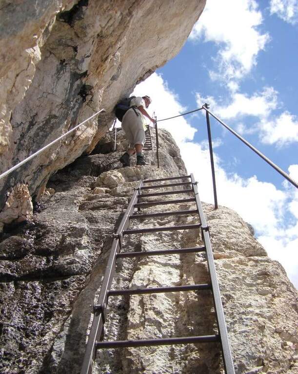
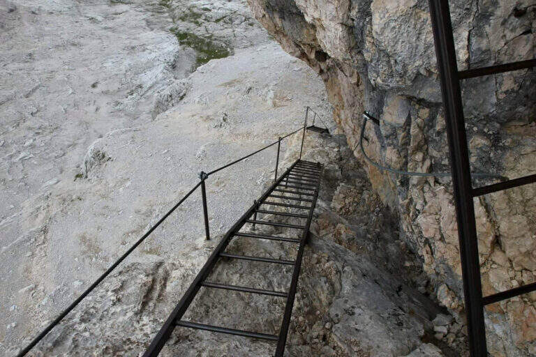
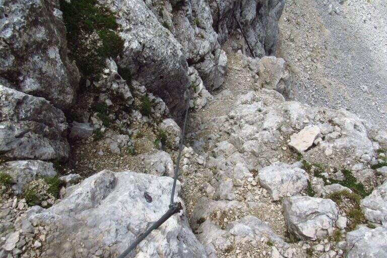
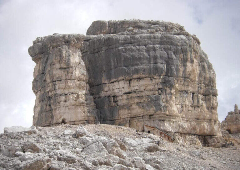
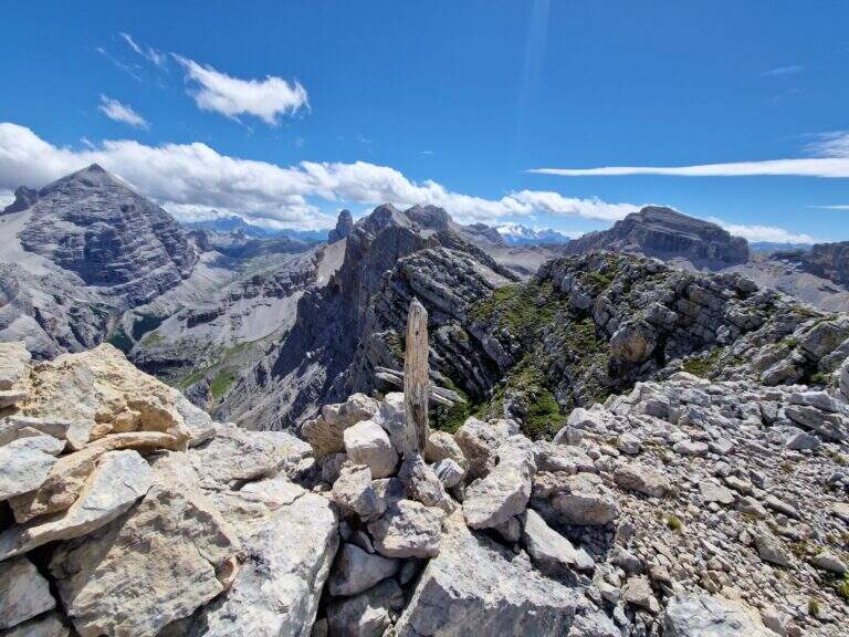
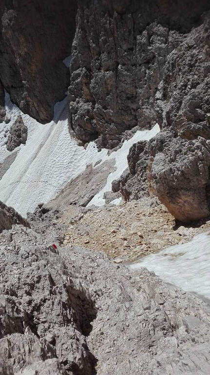
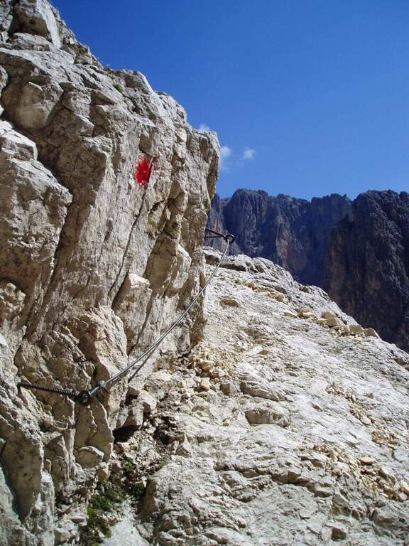
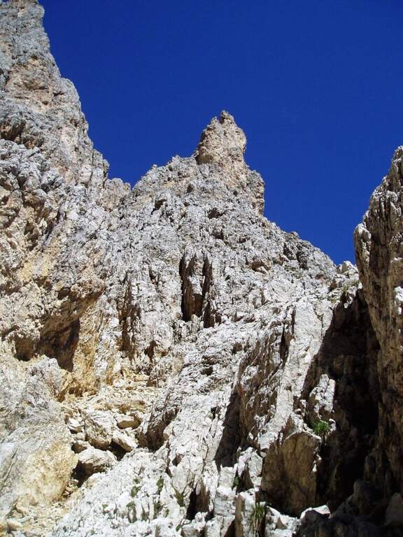
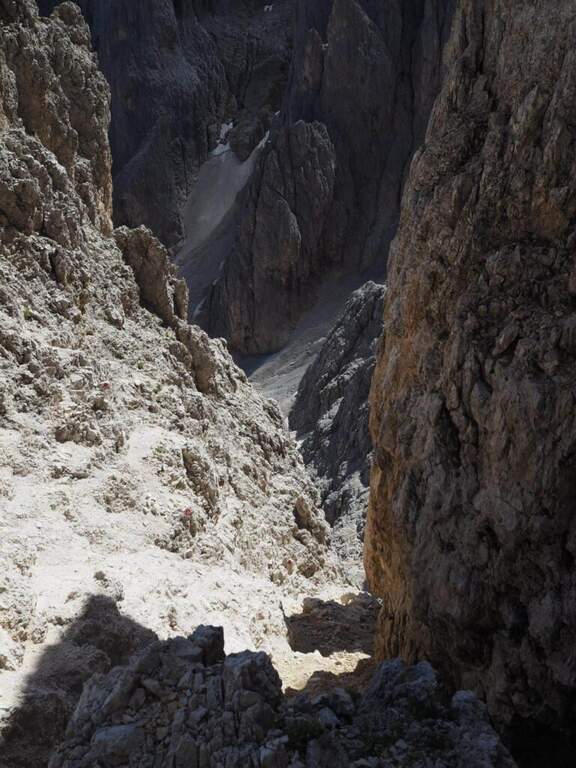
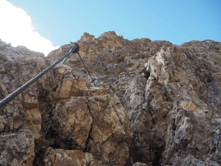
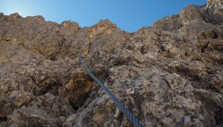
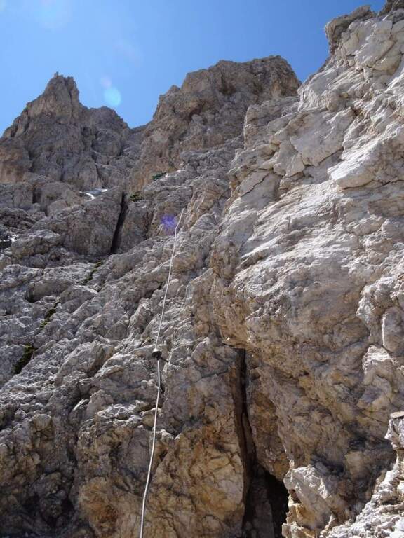
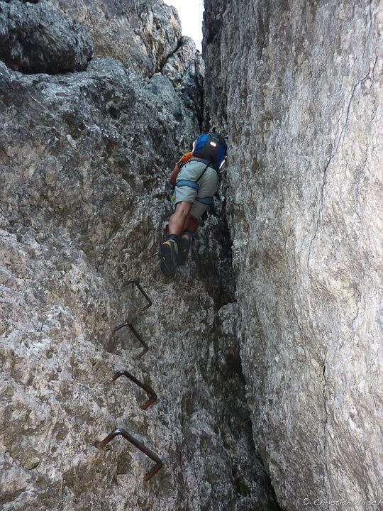
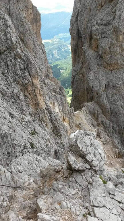
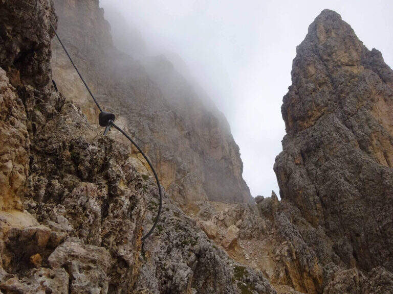
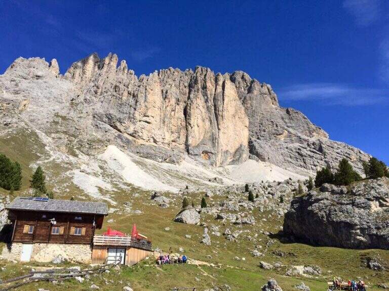
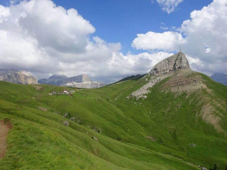
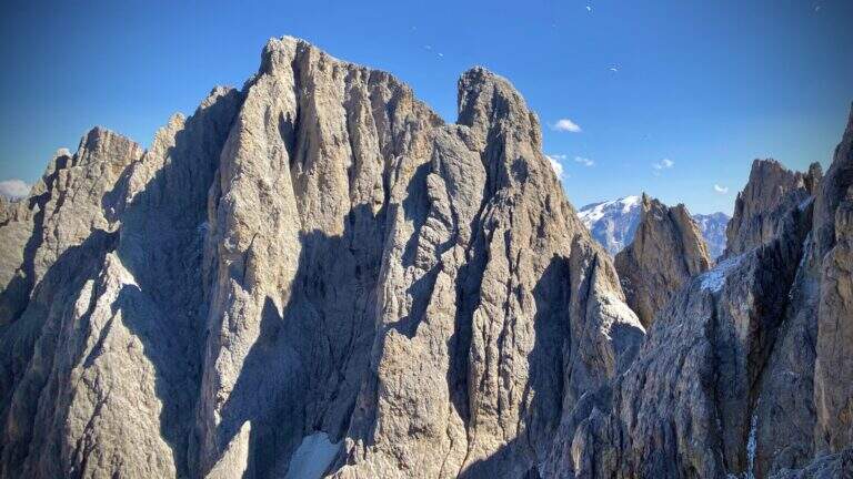
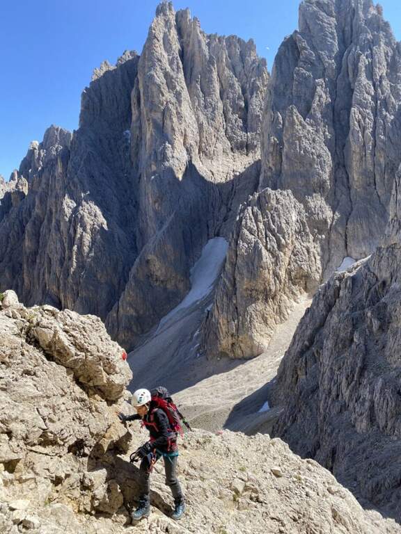
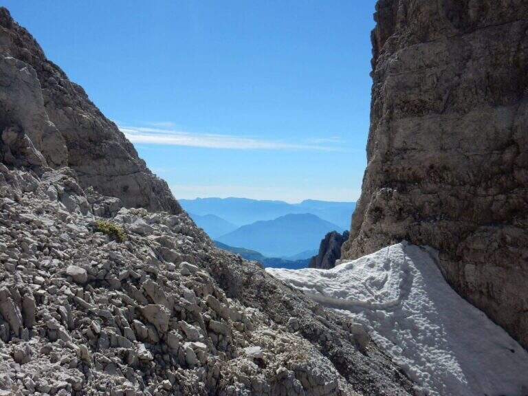
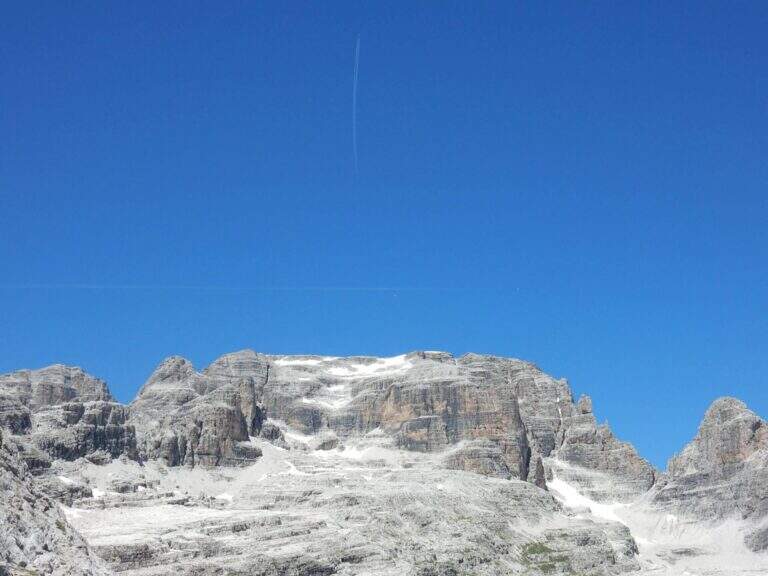
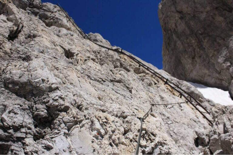
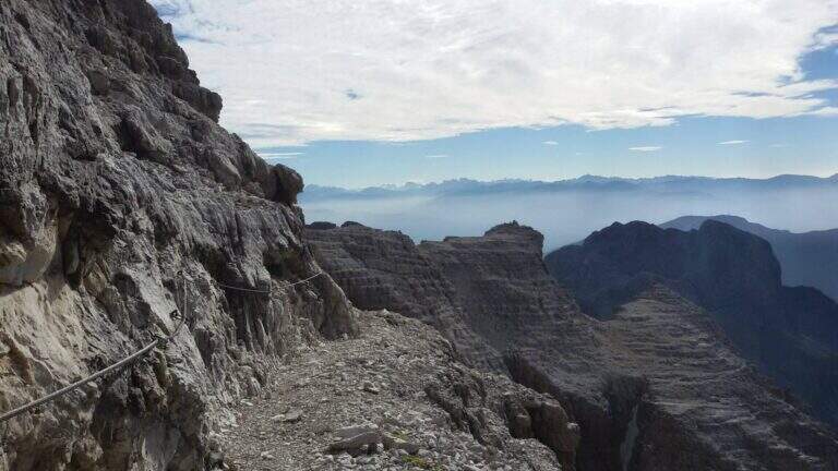
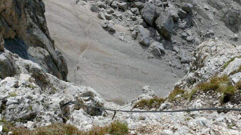
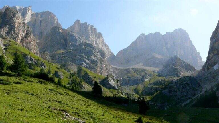
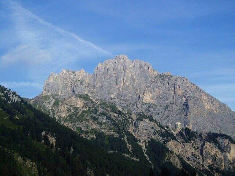
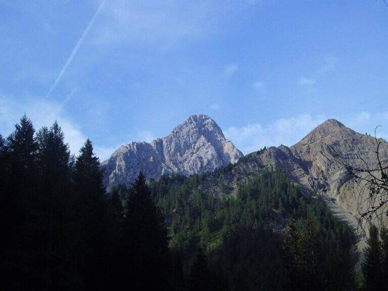
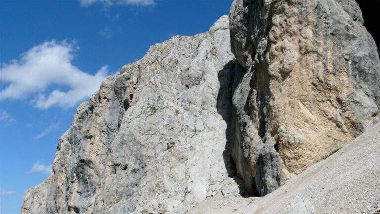
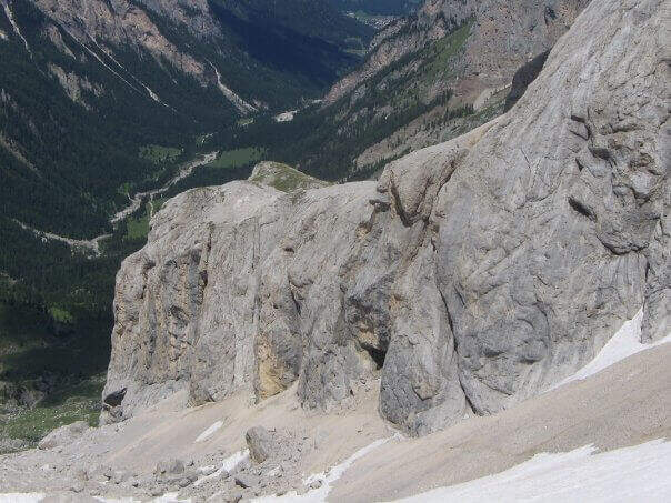
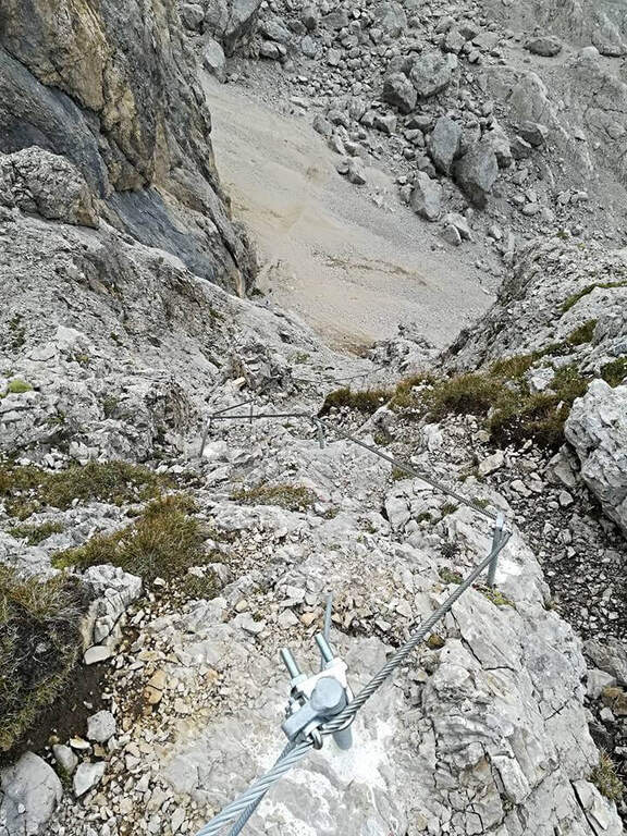
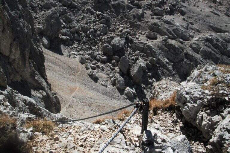
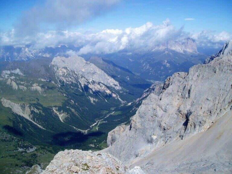
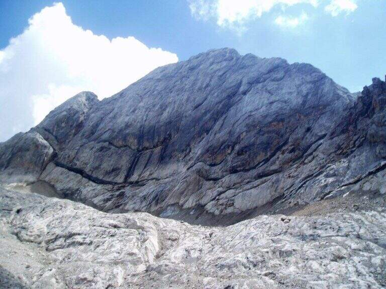
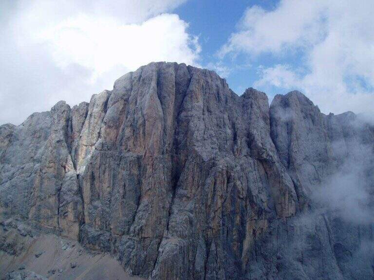
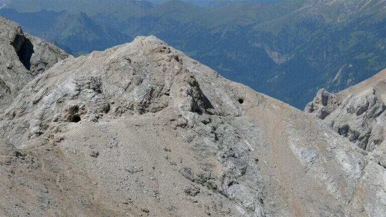
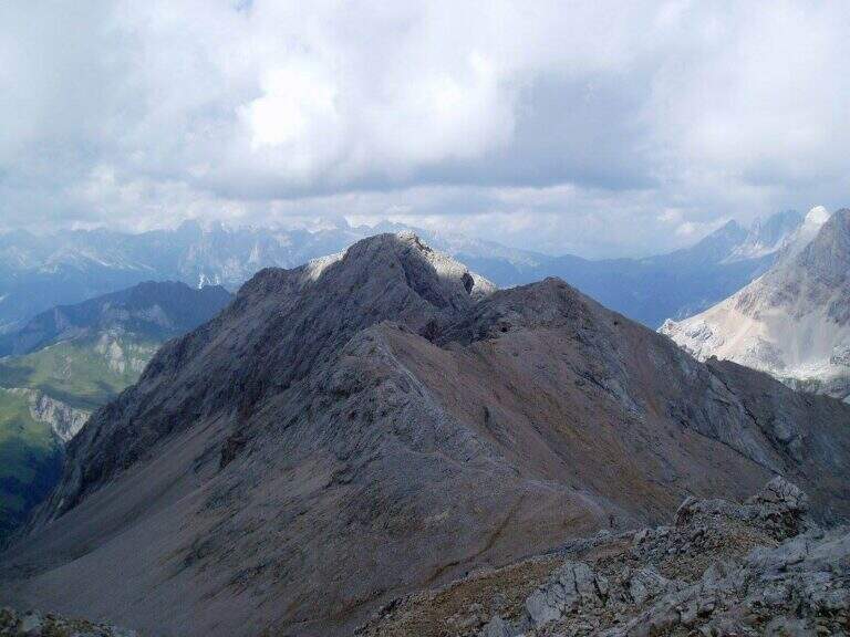
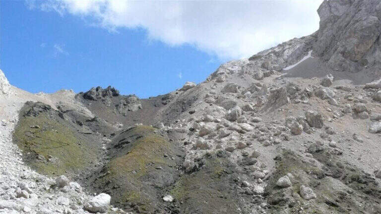
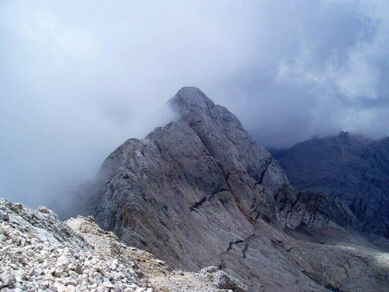
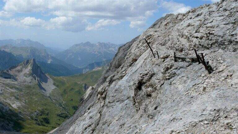
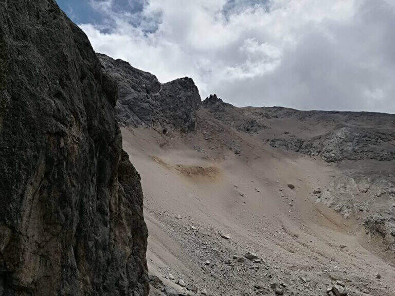
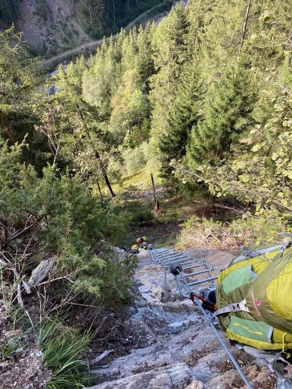
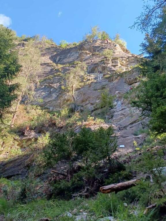
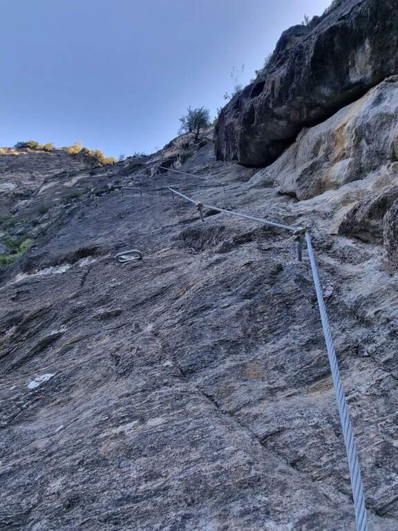
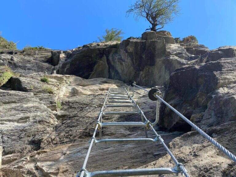
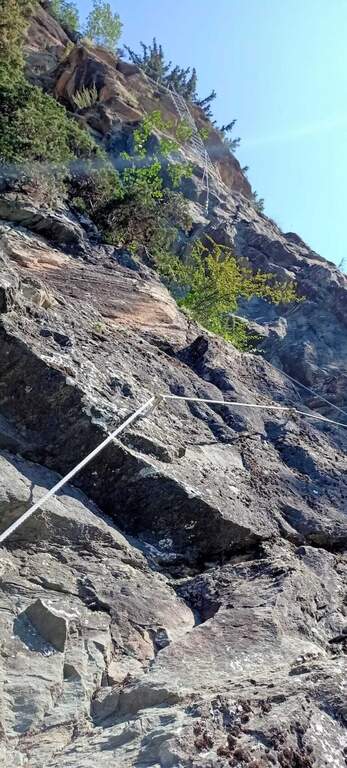
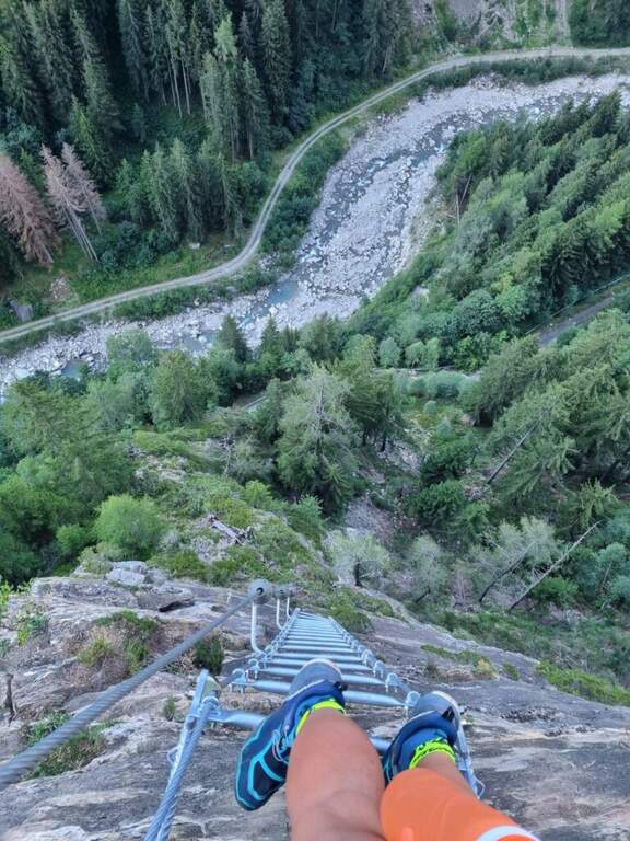
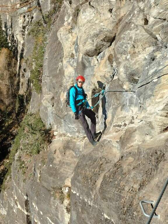
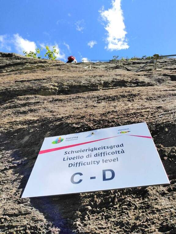
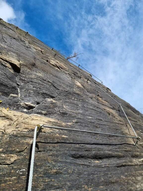
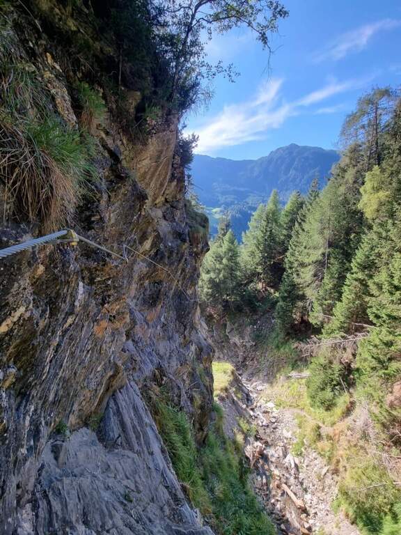
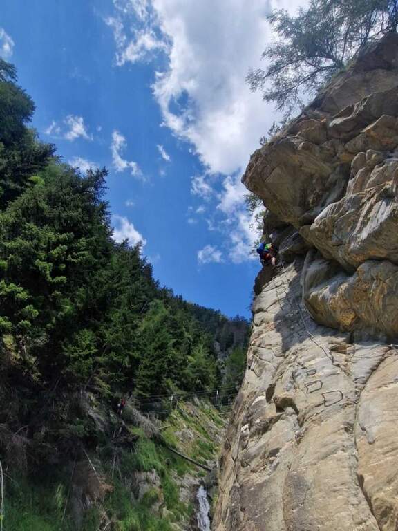
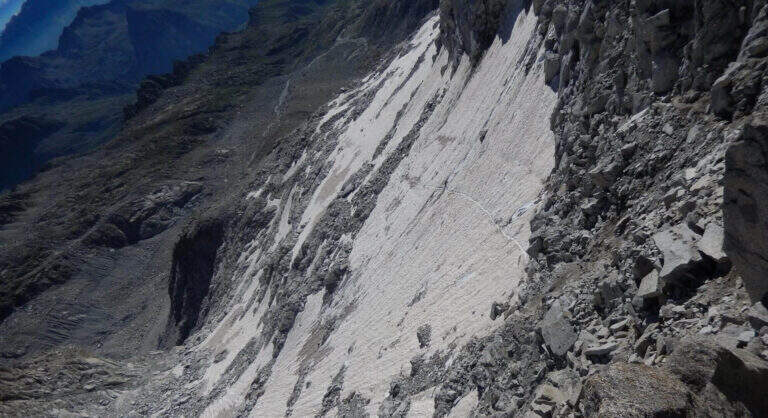
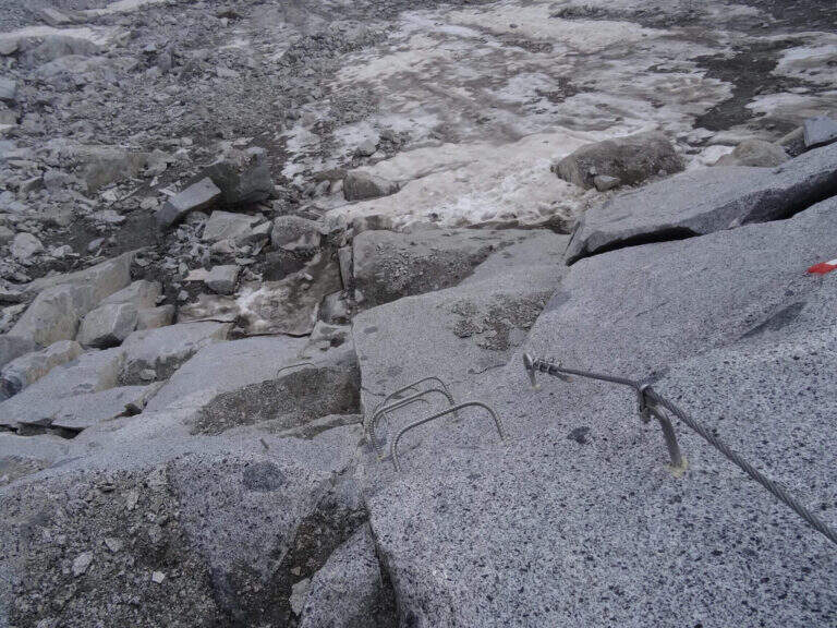
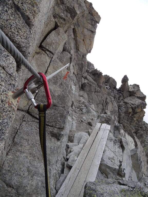
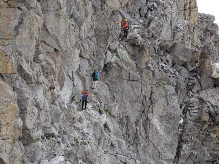
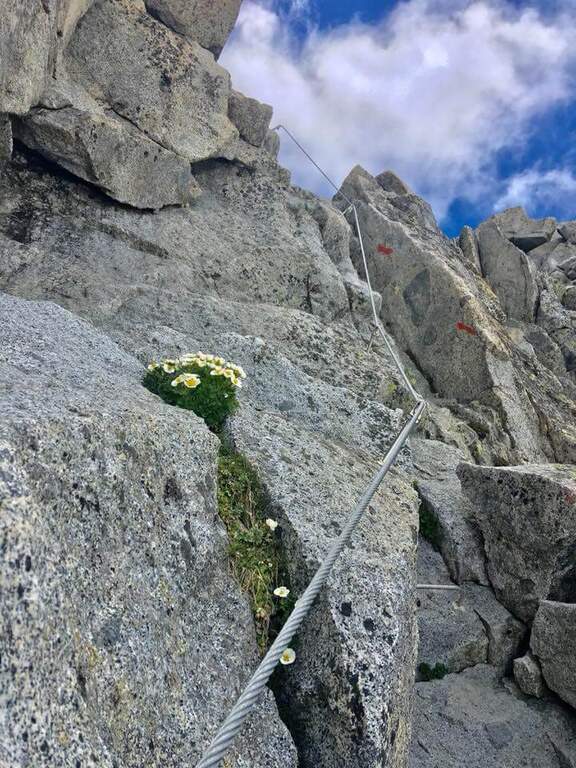
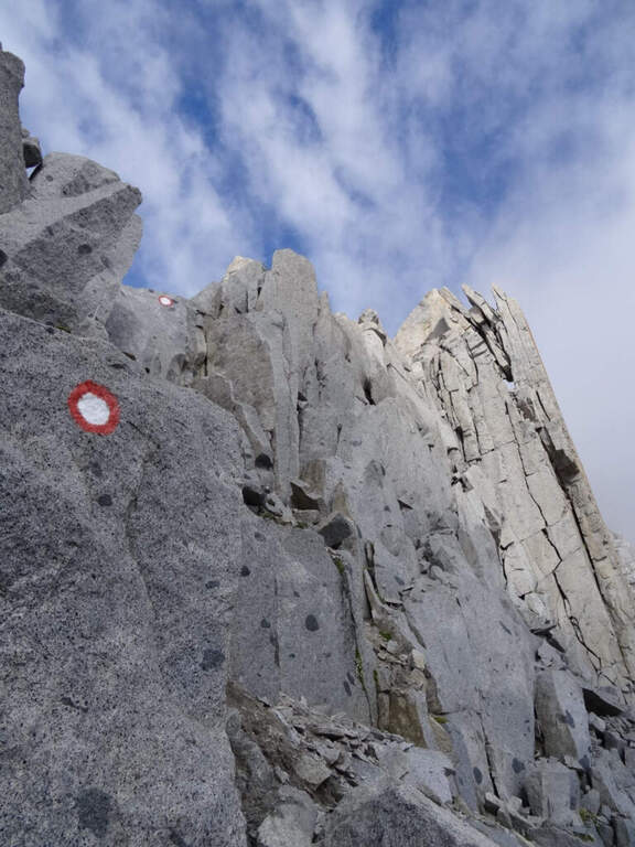
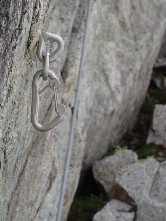
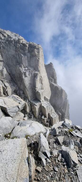
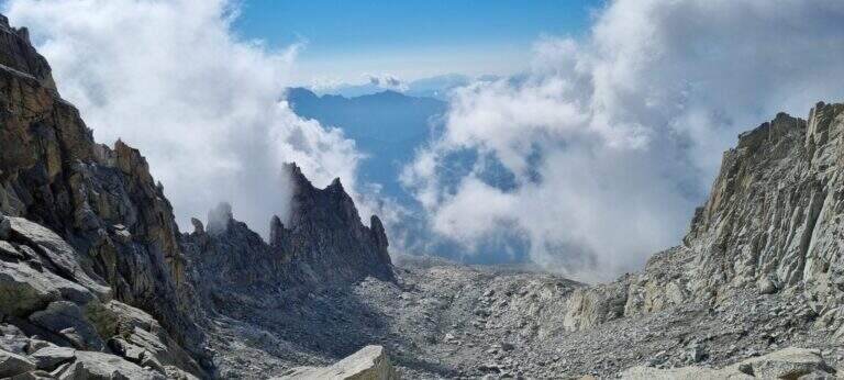
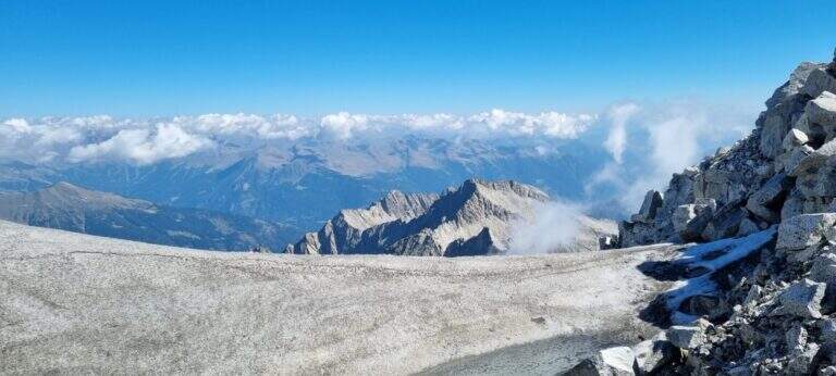
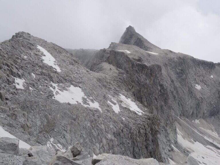
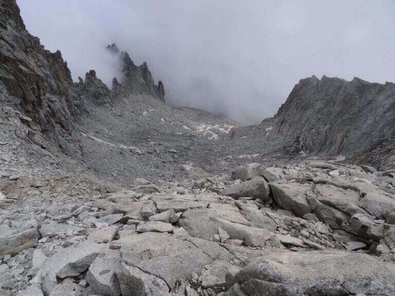
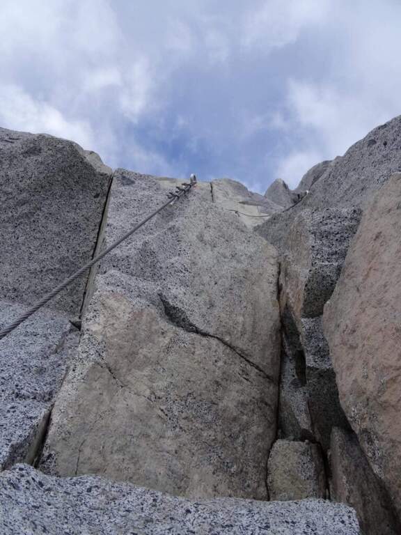
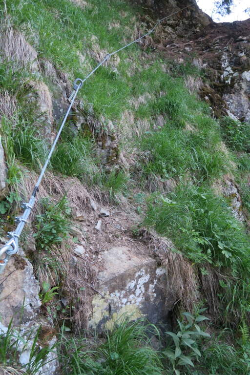
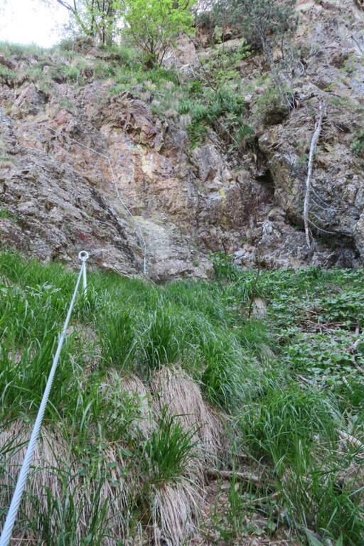
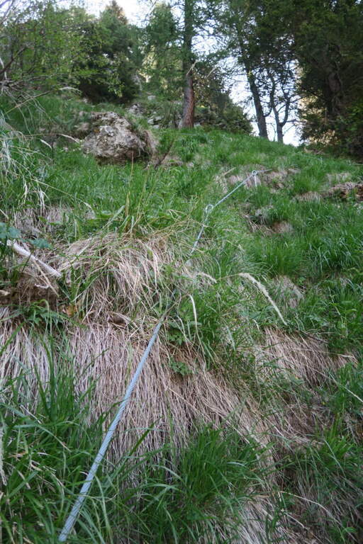
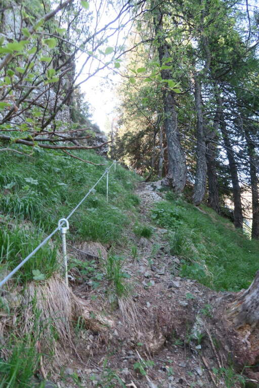
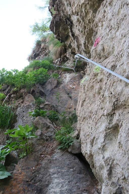
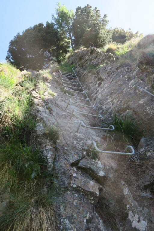
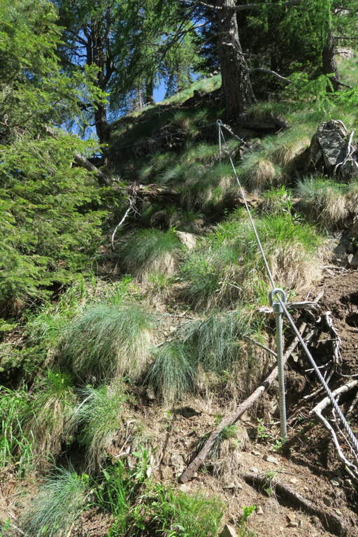
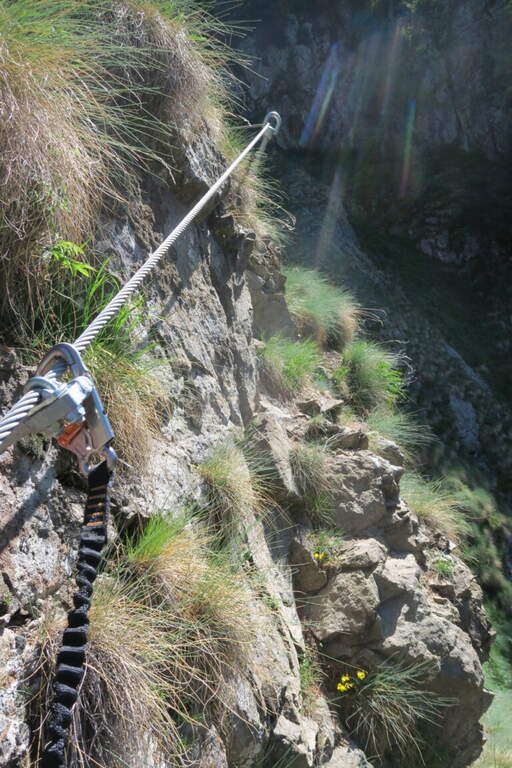
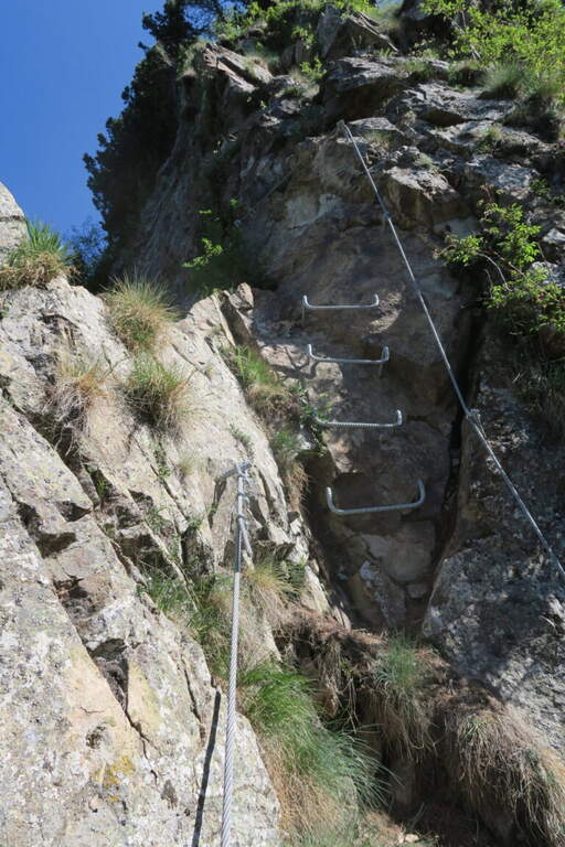
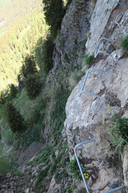
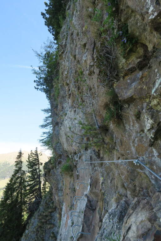
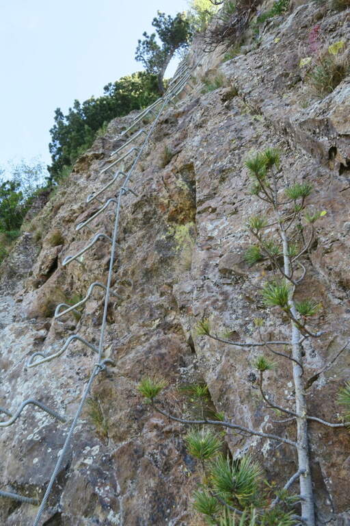
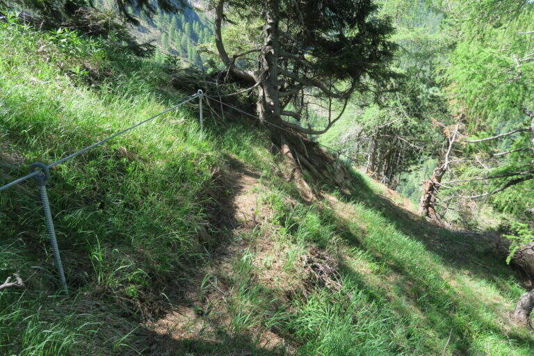
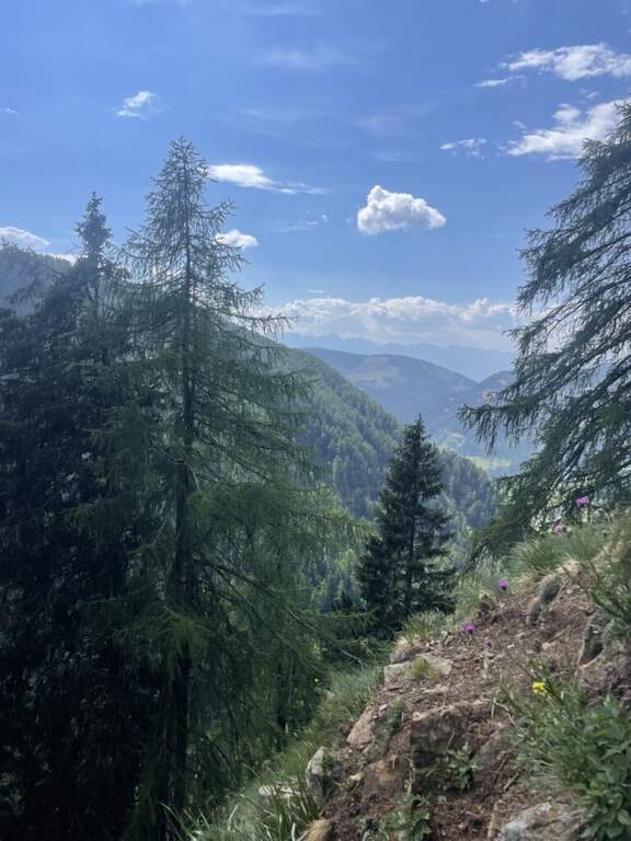
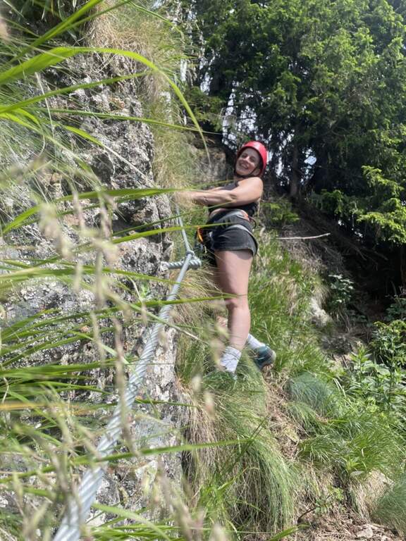
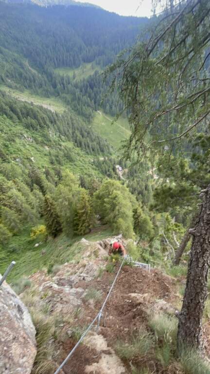
    The Ferrata di Punta Marmotta is a recent route that dates back to a granite spur above the Nino Corsi Refuge, in Val Martello (Stelvio National Park). It is excellently protected: easy in the first two sections and more challenging in the third (evitable), for a moderately difficult set. Attention to the exposure to the north, which keeps it in shadow much of the day.

    ▲Approach

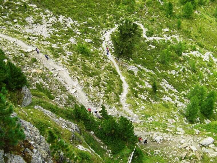
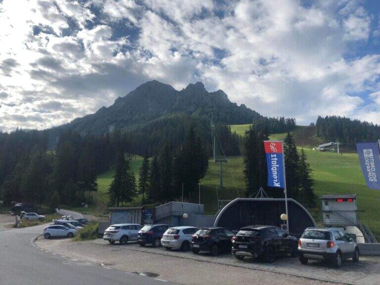
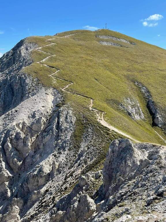
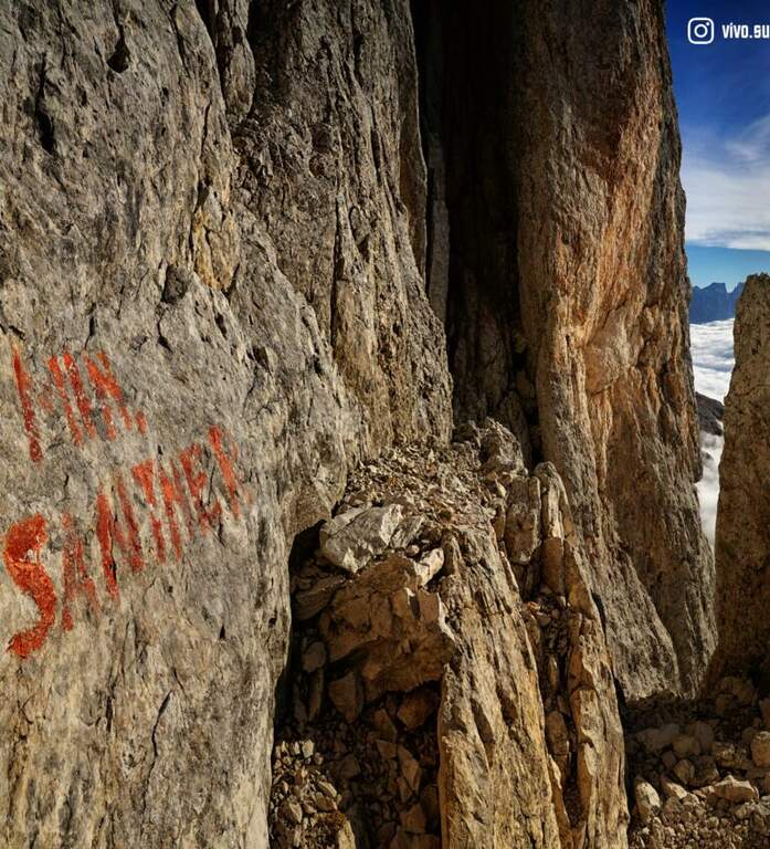
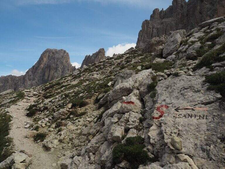
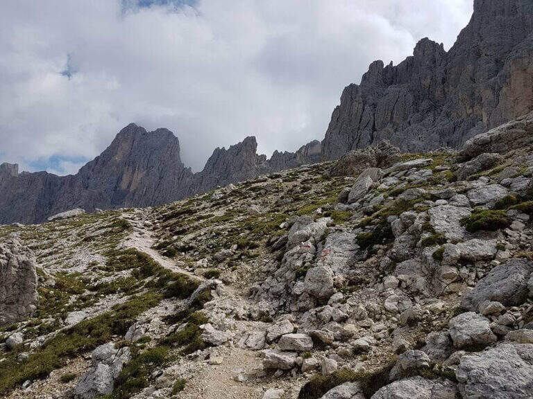
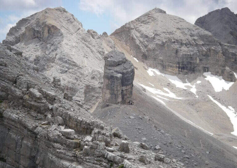
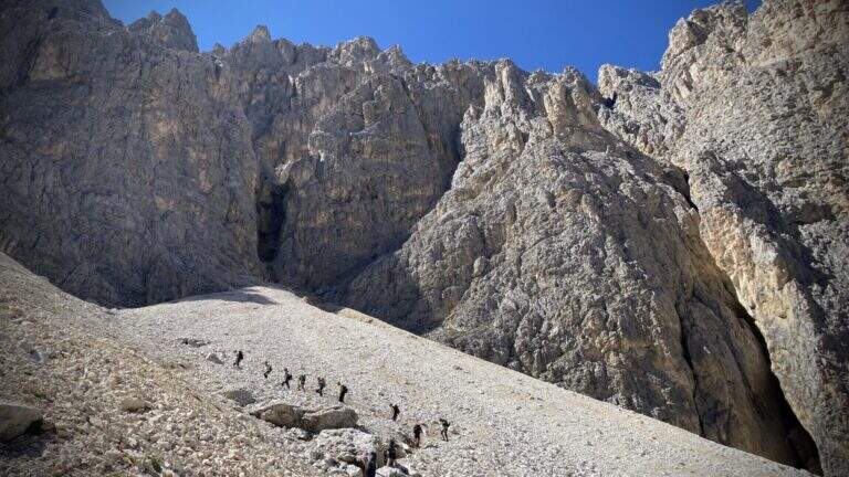
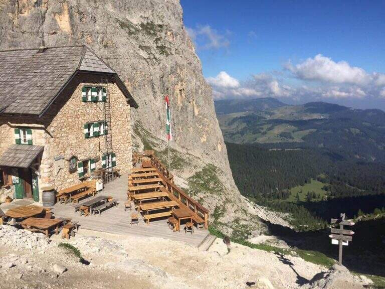
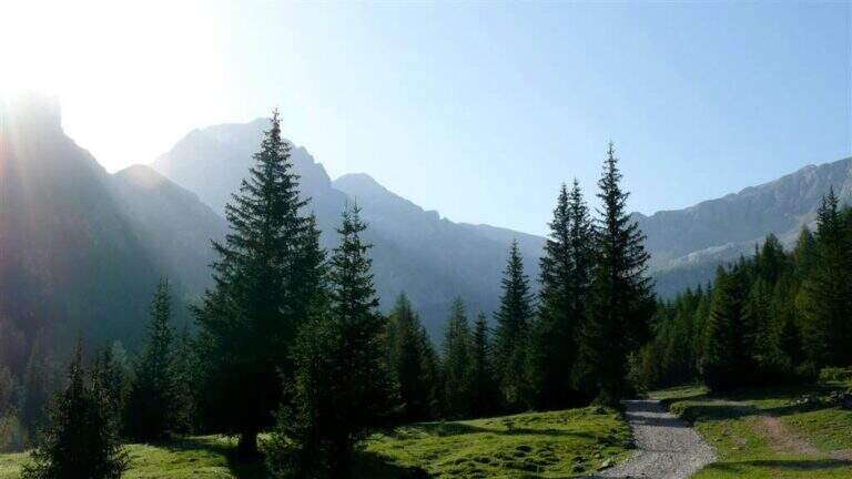
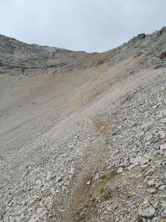
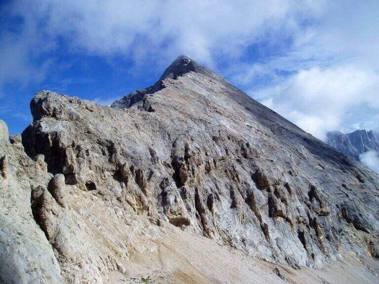
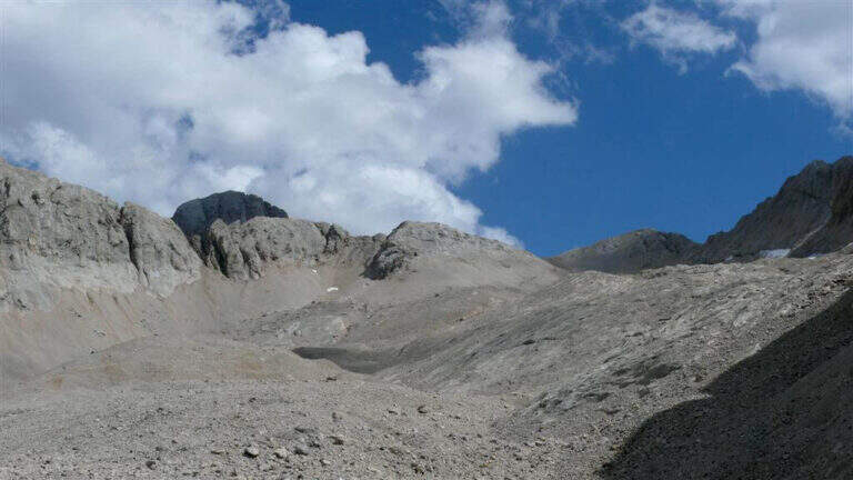
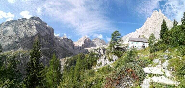
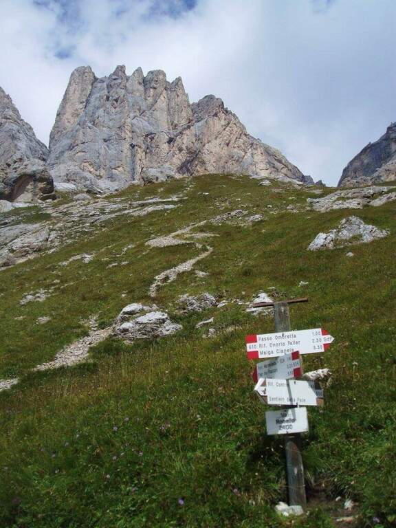
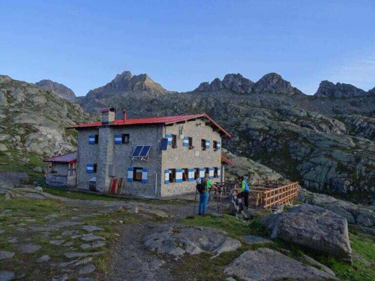
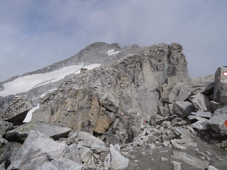
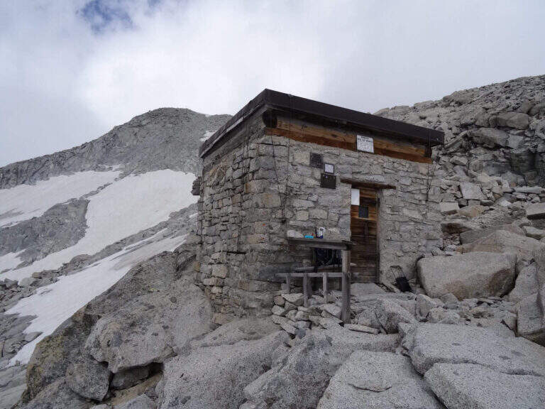
    Start from the bottom of the Val Martello (Martelltal), valley perpendicular to the Val Venosta: from Goldrano you enter the valley and continue south for about 30 km, over Ganda di Martello and Lake Gioveretto, up to the parking area. Starting point on Google Maps. The first reference is the comfortable refuge Genziana (2051 m), where the valley ends; from here in about 30' you go up to the refuge Nino Corsi (2265 m) for one of the paths 151, 36 or 37 (the 151 is the most direct and allows you to reach the ferrata without passing from the refuge). From the Nino Corsi, in the west direction, you can see Punta Murmele; following the path, at a first crossroad you hold the right (left go down the path of return) and in short you arrive to the attack, in shadow (45' without haste from the parking lot).

    ▲The path

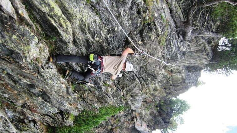
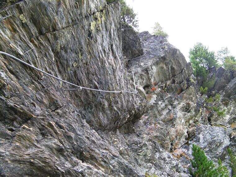
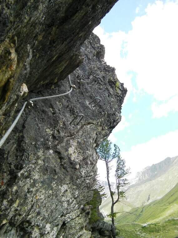
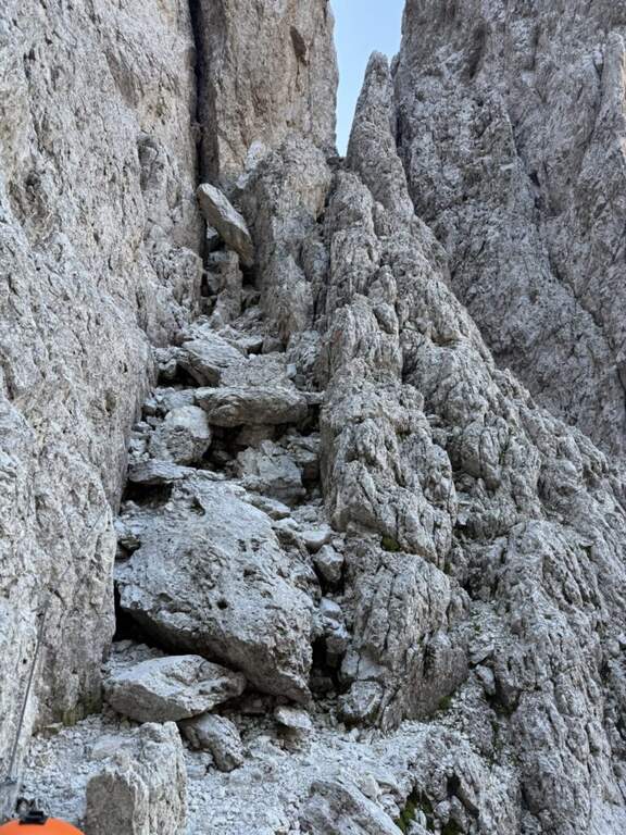
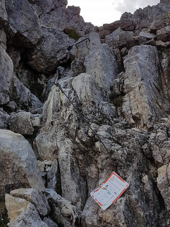
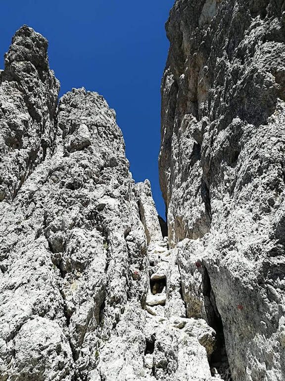
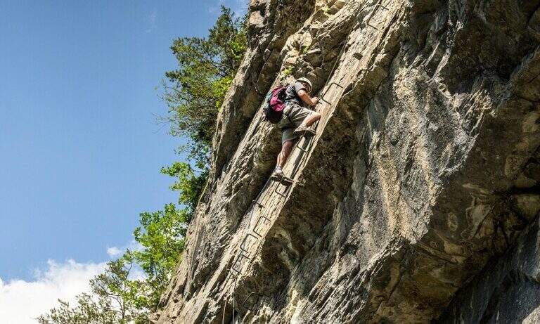
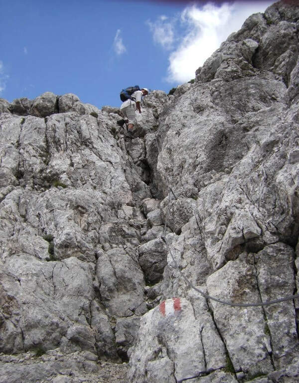
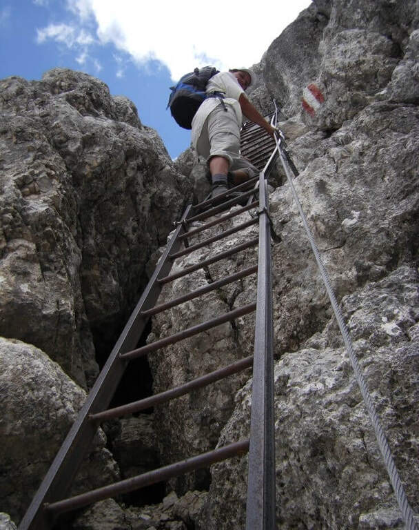
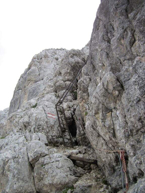
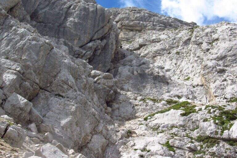
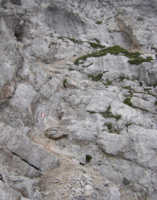
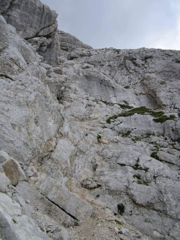
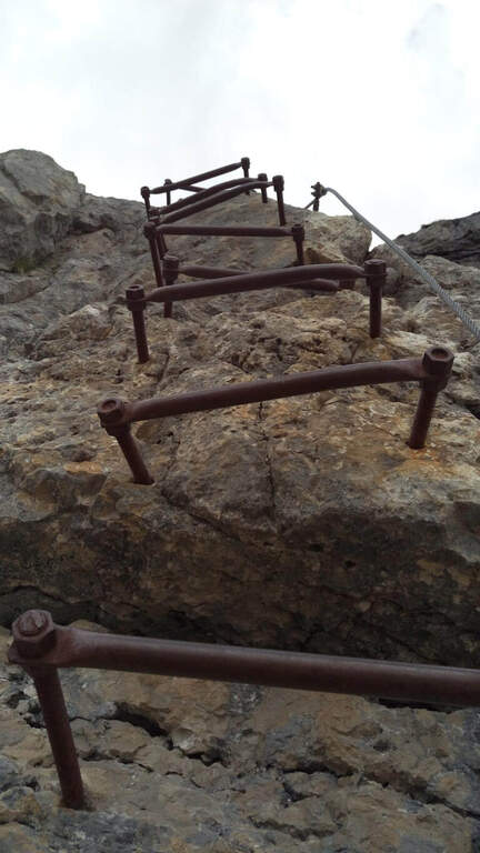
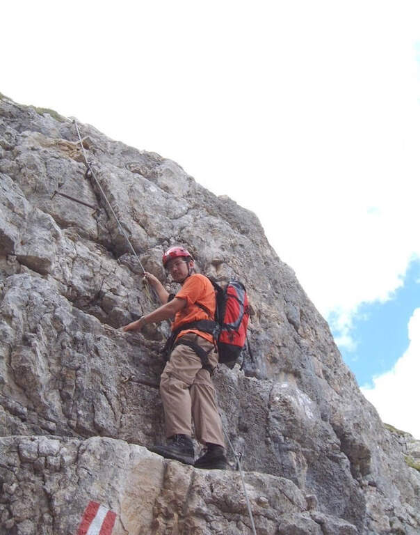
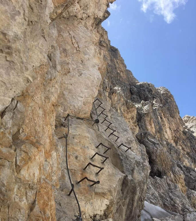
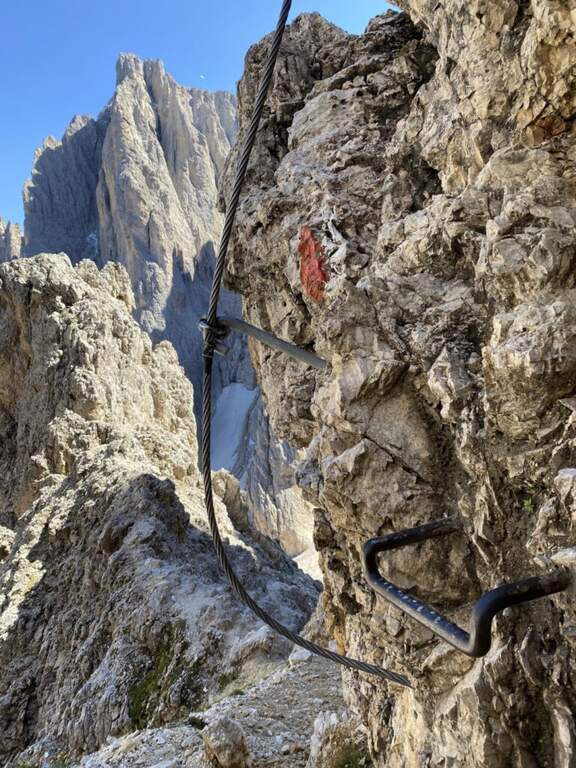
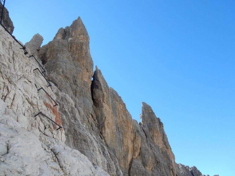
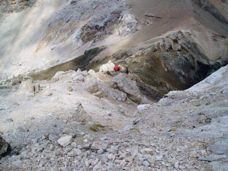
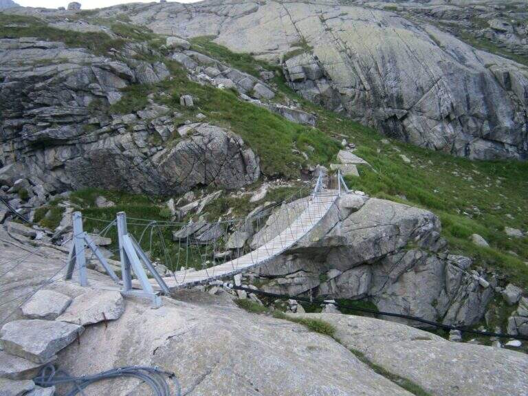
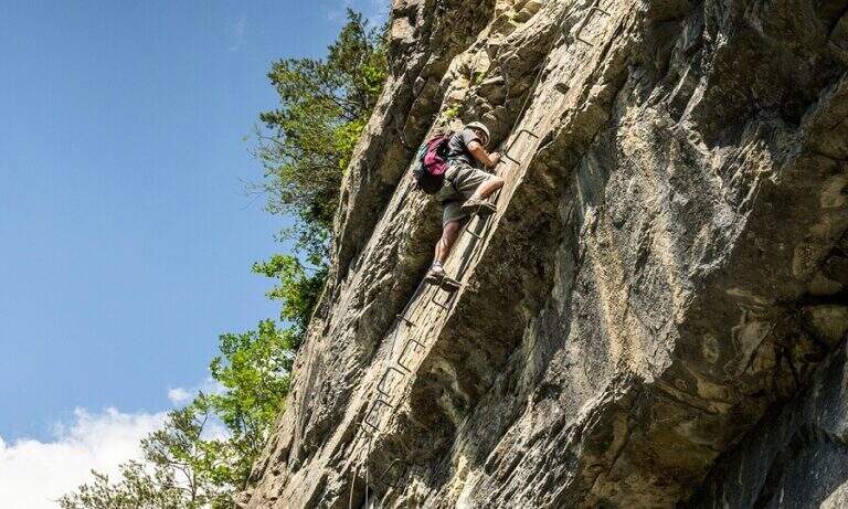
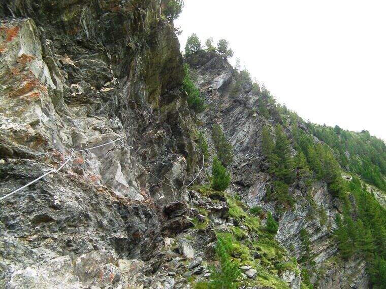
    The street consists of three sections separated by two escape routes to the left, which lead to the return path. The first climbs to the left alternating short vertical stretches to the right, with reduced difficulty; after 30-40 meters you will meet the first escape route. They follow easy rocks and a right-hand side, panoramic, then some diagonal leaps with a couple of passages a little more challenging until the second escape route: here it is best to evaluate if to continue, because the last section is tougher, with a considered difficult passage and a little athletic. The third section begins easy and leads to a more demanding wall, with a right-handed traverse from the good supports for the feet but few sockets for the hands; then you get to the key passage, a roof wandering on the right that goes up with some brackets, in good exposure and with a certain athletic point but not difficult; besides, a vertical wall and the last rocks close the way.

    ▲Character and difficulty

    The escape routes and increasing difficulties make it an excellent learning ferrata; pleasant environment and still at relatively low altitude.

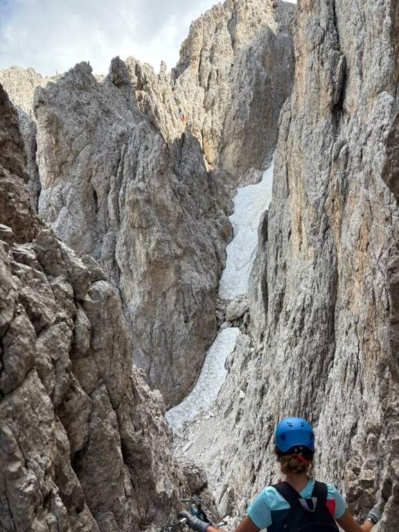
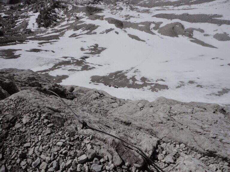
    ⚠ The exposure to the north holds it in shade and cool for most of the day: take into account for clothing and for the presence of moisture or snow residues at the beginning of the season.
    ▲Discipline

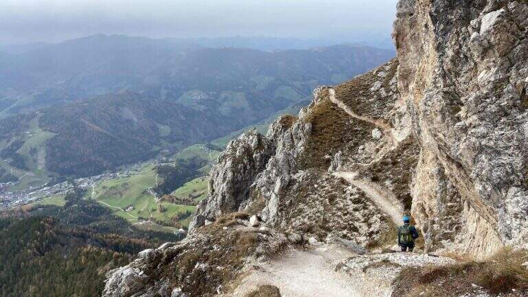
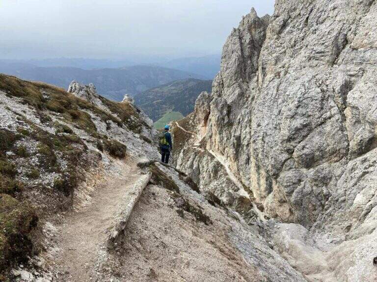
    From the end you follow the trail that brings you back to the refuge (15'), from which you return to the parking lot for one of the paths of sighting (3h total). If you want to stretch, after the ferrata you can graft on path 103 and climb to the Rifugio Martello (2600 m), with magnificent views over the glaciers of Marmotta and Cevedale.

    ▲To match

    Going back to Val Venosta, towards Merano: la Ferrata Hoachwool e la Ferrata Knott in Naturno, and the Ferrata Heini Holzer to the Picco Ivigna; going up to Solda the high altitude routes Ferrata Tabaretta to the Ortles and the Cengles Croda Ferrata, e la Ferrata di Trafoi along the state of Stelvio.
    ▲Gallery
    Technical data
    • DifficultyModerately Hard
    • RegionTrentino-Alto Adige
    • GroupOrtles-Cevedale
    • Approach0:45 h
    • Ferrata1:30 h
    • Itinerary (a/r)3:00 h
    • Hardware level difference100 m
    • Route difference290 m
    • Max2340 m
    • Length4,7 Km
  • Ferrata at Piz de Peres

    Ferrata at Piz de Peres

    Vie Ferrate › Trentino-Alto Adige › Bolzano
    Ferrata at Piz de Peres
    Moderately Hard● OpenDescriptionComplexityMapsGallery

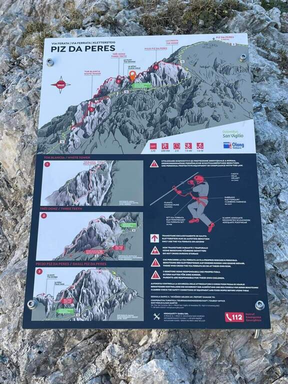
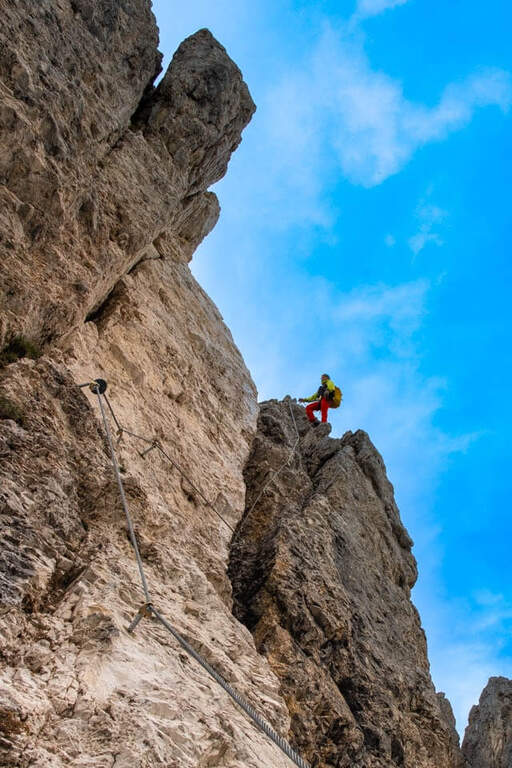
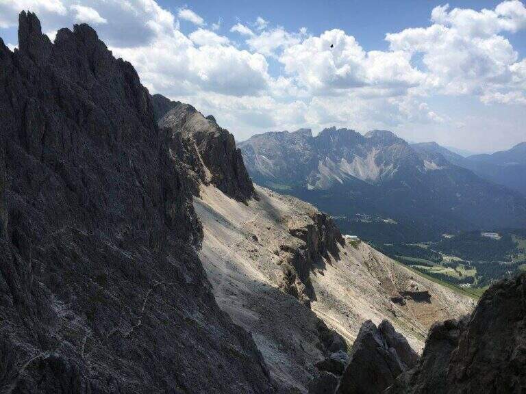
    Inaugurated in 2022 between San Vigilio di Marebbe (Val Badia) and Valdaora (Val Pusteria), a stone's throw from Plan de Corones, the Ferrata al Piz de Peres leads to the panoramic peak of the same name (2507 m). It is a dolomitic mold, of average difficulty with a couple of more challenging points, alternating diedri, walls, canals and stretches of crest exposed with view on the large groups of the Dolomites.

    ▲Approach

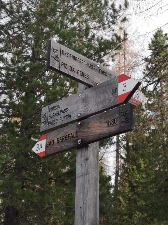
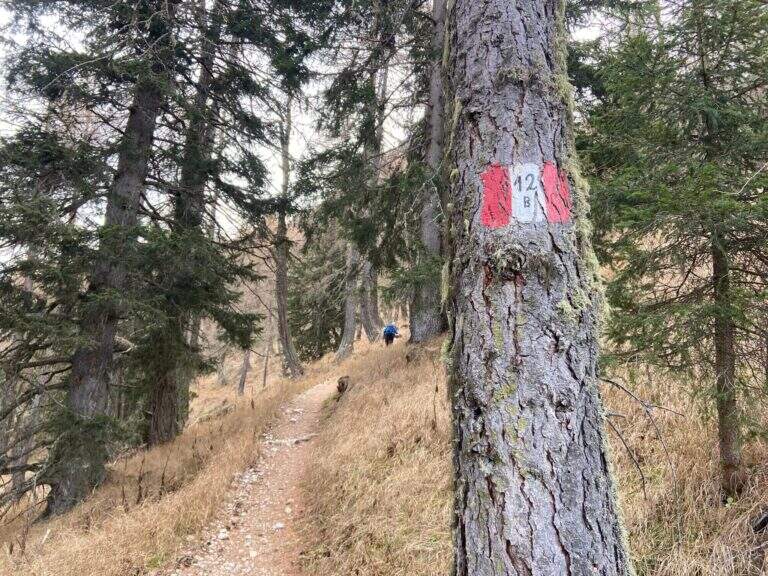
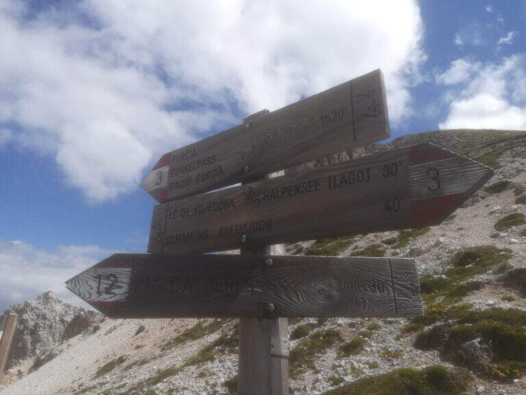
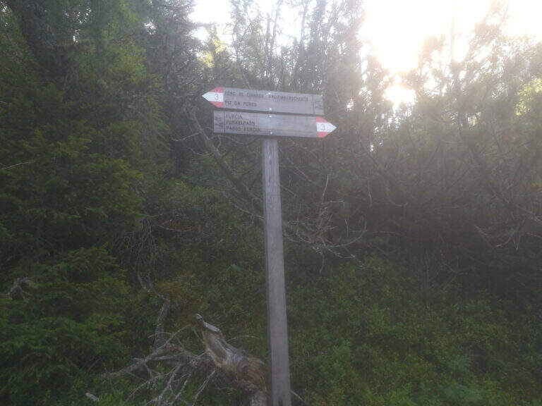
    From the Furcia Pass, on the winding road that connects San Vigilio di Marebbe to Valdaora. Starting point on Google Maps. On the south side you follow path 3 to a crossroads, where you climb steeply on path 12B; pass the refuge and the lifts intersect the path 12, which rises from San Vigilio on the slope of Val Badia. It follows uphill to a clear sign, where you hold the right and in short you reach the attack (about 1h 20' from the parking lot).

    ▲The path

    An all' sign; attack shows the three sections, separated by two escape routes. The prima starts with small rocks equipped to the right; you pass a cave and a wall, then a right nod and, on beautiful exposure, you climb a pillar of medium difficult and pleasant and climbing. The road continues vertically between short terraces up to a transfer nod to the right, where the equipment ends; some rocky leaps lead all' crossroads with path 12, where you can può close (on the left the 12 reports all' attack, on the right you climb to the summit). The seconda section — i «tre denti», the più challenging — starts with a vertical wall hand-marked but hard; with beams to the right you reach a short suspension bridge, then a vertical and exposed but well climbing wall leads to the ridge wire, with never difficult aerial passages, up to a saddle. The second tooth is vertical and challenging; a path along the third tooth avoiding the più passages; hard, while those who complete the third tooth climbs vertically up to a slightly overhanging wall (hard-grade passage), then again on the ridge between ups and downs to the saddle where the second section ends (right a way to escape to path 12). The terza, the più easy, & easy; a long series of jumps and short walls along the crest that leads to the end of the equipment, now in sight of the summit (about 2h from' attack, 3h 15' from the parking lot). From here a path in 15' it reaches the cross of the Piz de Peres (2507 m), about 800 m above the Furcia Pass (3h 30' total).

    ▲Character and difficulty

    Altogether average difficulty, with the key points (the wall of the first tooth and the overhanging of the third) of difficult and exposed degree. Equipment in good condition.

    ⚠ The two escape routes allow to reduce the effort by skipping the hardest teeth. As a crest exposed at altitude, it is advisable to start with stable weather and snow free canals.
    ▲Period and safety

    Summer itinerary of medium-high altitude: indicated from late spring to autumn, with dry rock and bottom of the canals.

    ▲Discipline

    Two options. You can go back to path 12, which runs parallel to the ferrata, up to the attack and then to the parking lot. Or — recommended the ring — from the opposite side to the uphill one goes down to the Forcella delle Tre Dita (2330 m, about 30'), then left along the valley up to the wide path 3 that leads back to the forest to the Furcia Pass (about 2h from the summit, 5h 30' total).

    ▲To match

    The road rises between two valleys rich in ferrate. Not far, on the side of Valdaora, the Ferrata di ValdaoraThe whole of Val Badia and Val Pusteria also offer numerous other routes equipped to concatenate in the following days.

    ▲Gallery
    Technical data
    • DifficultyModerately Hard
    • RegionTrentino-Alto Adige
    • GroupDolomiti – Plan de Corones
    • Approach1:20 h
    • Ferrata2:00 h
    • Itinerary (a/r)5:30 h
    • Hardware level difference250 m
    • Route difference720 m
    • Max2507 m
    • Length5,5 Km
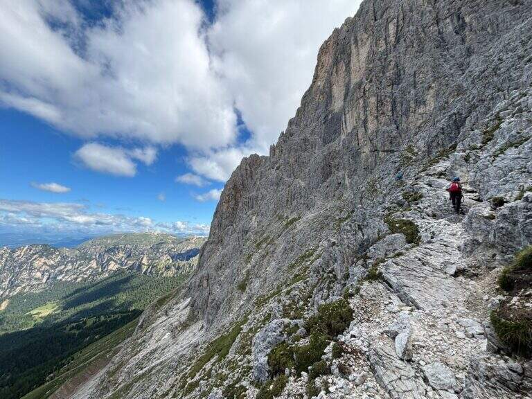
  • Ferrata at the Santner Pass

    Ferrata at the Santner Pass

    Vie Ferrate › Trentino-Alto Adige › Bolzano
    Ferrata at the Santner Pass
    Moderately Hard● OpenDescriptionComplexityMapsGallery

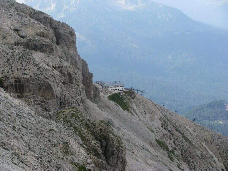
    The Ferrata al Passo Santner climbs up the west wall of the Catinaccio, the Rifugio Fronza al Passo Santner, and then descends into the Vajolet Valley. Itinerary of great landscape interest, accessible in both directions; here it is proposed with departure from the cable car Re Laurino (Bolzano). The key point is a canal at altitude often snowed.

    ▲Approach

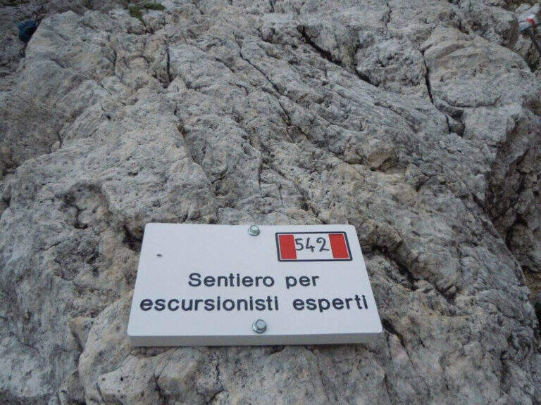
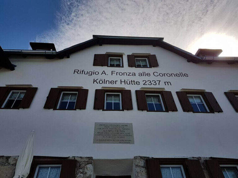
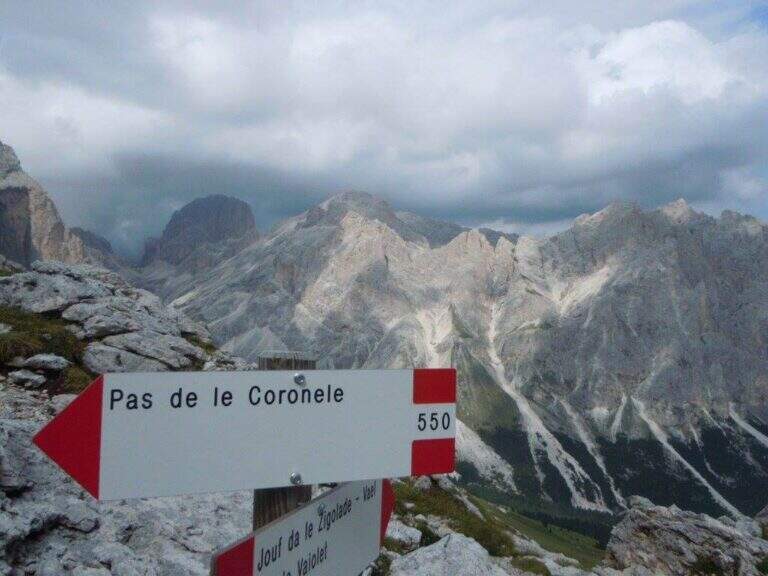
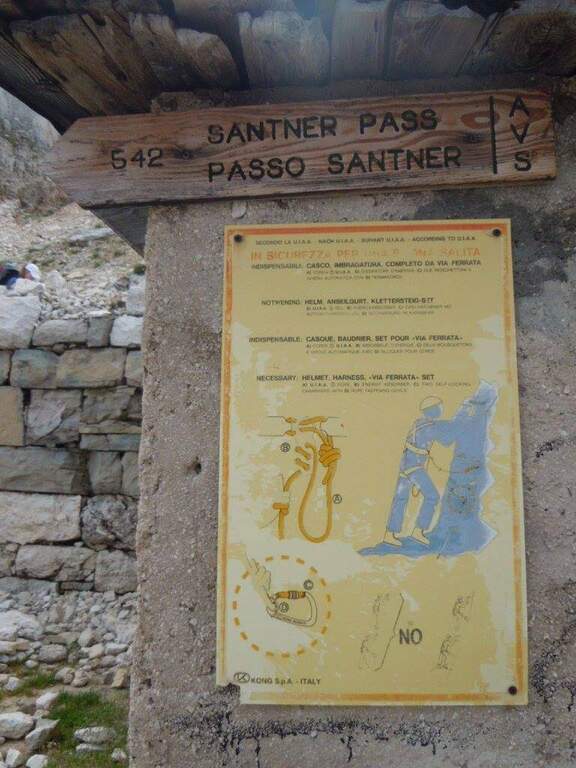
    Departure from the mountain station of the Re Laurino cable car, which starts from the road between the Costalunga Pass and the Nigra Pass (Bolzano), with ample parking to the plants. Starting point on Google Maps. Behind the Rifugio Fronza, at a crossroads you leave the CAI 550 (on the right, for the Coronelle Pass) and take left the CAI 542 which, after some easy equipped stretch, continues halfway north under the overhanging walls of the Catinaccio (red signs shaped as S). It goes up to rocks not protected on canals and anfratti — not difficult but with a steady foot — and then to the first equipment, where the ferrata begins (30' from the mountain station).

    ▲The path

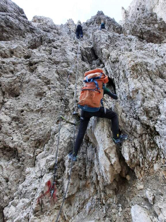
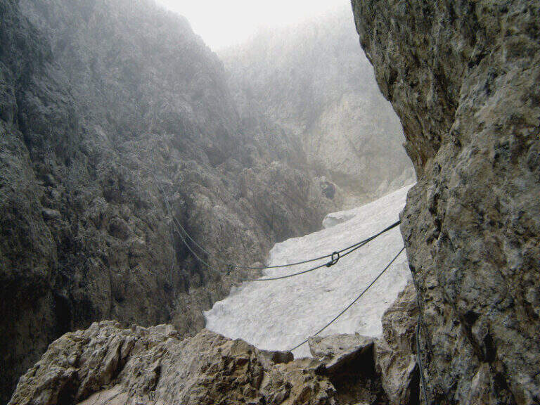
    There are easy rocky balconies, blinds and transverses, then a pair of fireplaces potentially difficult but facilitated by ladders and cambres. It reaches a narrow fork that cuts the wall at the imposing Ago of Schroffenengger and passes on the opposite side, descending to a canal generally covered with snow: it is the key passage, with difficulty proportional to snowing. If snowed it is best to cross it immediately and climb it on the left side with artificial fixtures; in loose snow you cross it more comfortably diagonally. The channel is not prohibitive, but a possible fall could be fatal, because a little lower is interrupted by a jump of a few hundred meters; recently it was better equipped, reducing the risks. The canal with a wall of medium difficulty reaches an easy fireplace and a fork; the last stretch, but not difficult, leads to the Santner Pass, recognizable by the metal cross between the Catinaccio and the Croda di Re Laurino, with the small Santner Refuge (2734 m) just beyond (1h 45' from the attack, 2h 15' from the Fronza Refuge). From the refuge, view of the Vajolet Towers and the Gartl basin, descend to the Alberto I Refuge (2621 m) and then along the detritic valley to the Vajolet and Preuss Refuges (2243 m, 3h 15' total).

    ▲Character and difficulty

    Altogether moderate difficulty: some initial steps are sprouted and rise in free on easy rocks, where mainly counts exposure (other than modest). Itinerary very popular in both ways: attention to debris by other hikers.

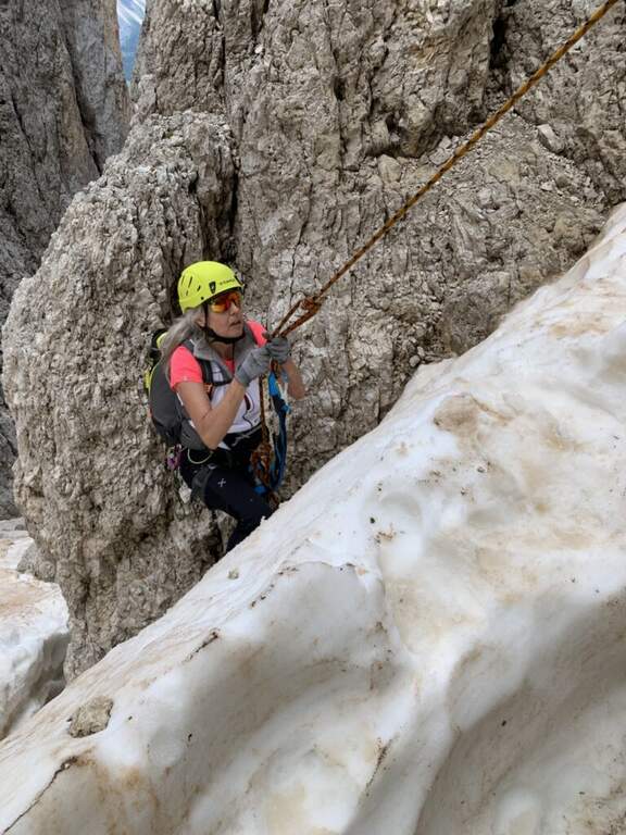
    ⚠ The snowy canal of the upper part is the true critical point: not difficult to dry, but potentially dangerous with snow or ice. At the beginning of the season it can be prudent to have ramps, in case the ropes are blocked by snow.
    ▲Discipline

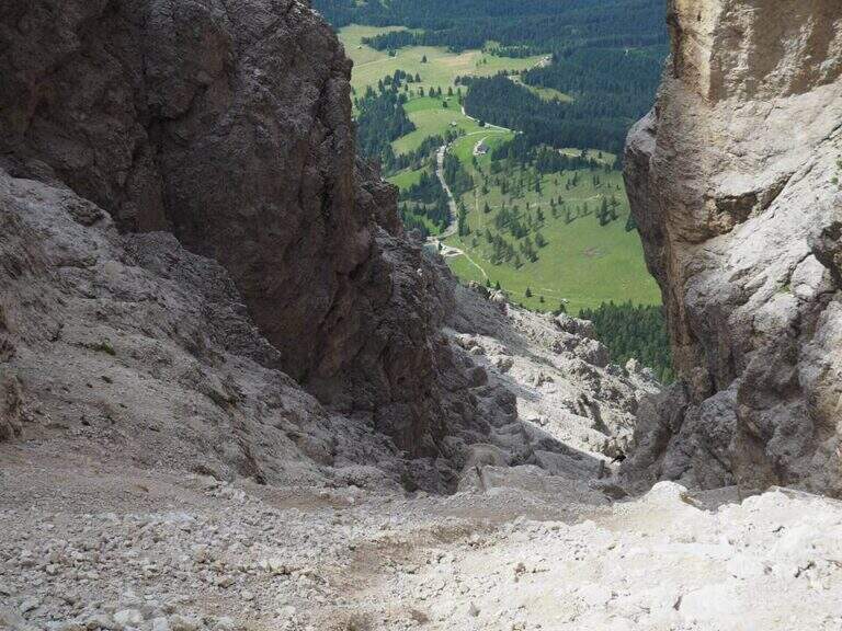
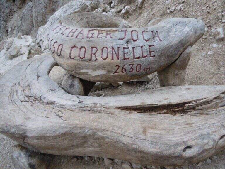
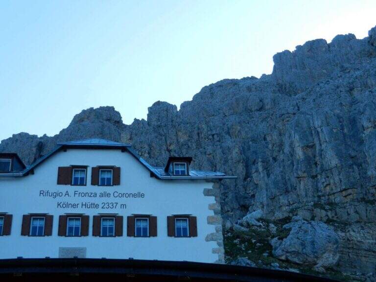
    From the Vajolet refuge you stay on the right side of the valley, then right on the CAI 541 towards the Coronelle Pass, on grassy slopes and debris; at a crossroad you leave the 550 (left to the Gardeccia Refuge) and the 541 (right) holding the CAI 550, which rises steeply at the Coronelle Pass, recognisable by a singular wooden bench (1h 30' Vah). From the pass you descend steep (but not difficult) on the west side, on a detritic channel equipped with wooden steps and metal fixtures, up to the Fronza refuge and the cable car (1h from the pass, about 6h total).

    ▲To match

    The Catinaccio is rich in ways equipped with increasing difficulty. From the Vajolet Valley you can climb Ferrata del Catinaccio d'Antermoia (with the Scalette Path for a ring) or, more difficult, the Maximilian e la Laurenzi; to the south Ferrata Masarè.

    ▲Gallery
    Technical data
    • DifficultyModerately Hard
    • RegionTrentino-Alto Adige
    • GroupCatering
    • Approach0:30 h
    • Ferrata2:45 h
    • Itinerary (a/r)6:00 h
    • Hardware level difference150 m
    • Route difference404 m
    • Max2741 m
    • Length8,2 Km
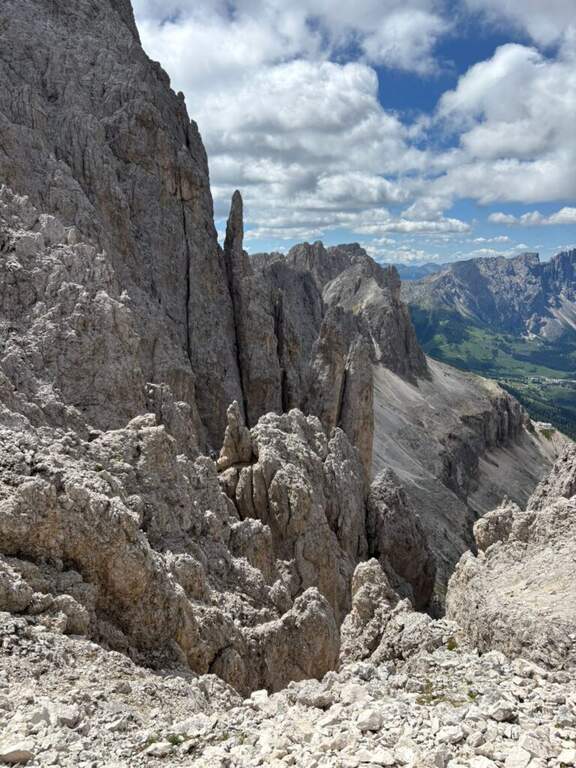
  • Ferrata della Pace (Croda del Vallon Bianco e Furcia Rossa)

    Ferrata della Pace (Croda del Vallon Bianco e Furcia Rossa)

    Vie Ferrate › Trentino-Alto Adige › Bolzano
    Ferrata della Pace (Croda del Vallon Bianco e Furcia Rossa)
    Moderately Hard● OpenDescriptionComplexityMapsGallery

    La Ferrata della Pace è una via di media difficoltà inserita in un lungo e impegnativo itinerario di grande valore storico e paesaggistico nel gruppo di Fanes. Combina la salita attrezzata alla Croda del Vallon Bianco e la Ferrata alla Furcia Rossa; con avvicinamento e rientro molto lunghi (circa 20 km), va pianificata con giudizio ed è riservata a escursionisti allenati ed esperti di alta montagna.

    ▲Approach

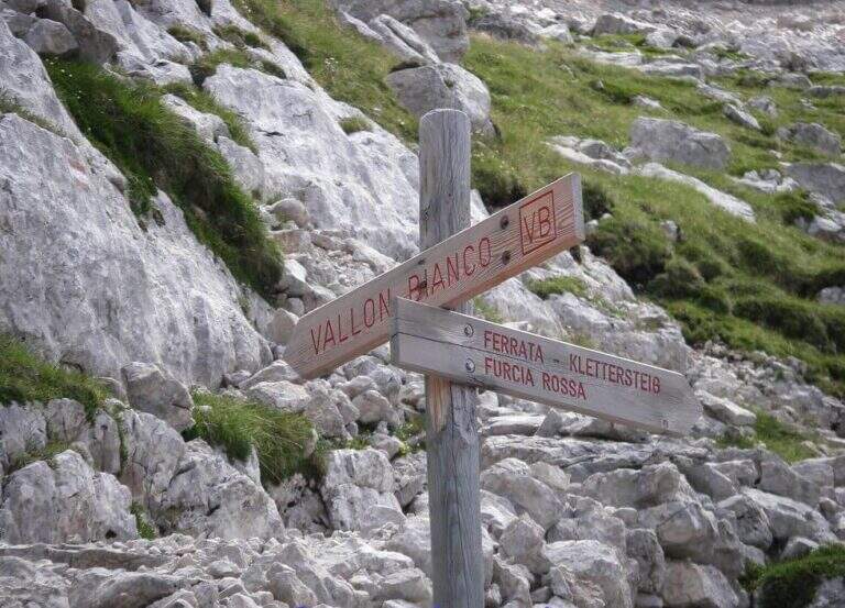
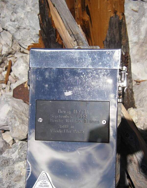
    Partenza dalla Capanna Alpina (1725 m), raggiungibile dal Rifugio Stella Alpina presso il Passo di Valparola (Val Badia: da San Cassiano/Armentarola o dal Passo Falzarego). Starting point on Google Maps. Si scende brevemente sul sentiero 11; al bivio col CAI 20 (a destra per il Rifugio Scotoni) si tiene la sinistra e si sale ripidi al Col de Locia (2070 m, 45'). Sul sentiero 11, in falso piano nell'ampia vallata e su alcuni ponti, si raggiunge la Forcella Ju d'Ega (2158 m, 1h 30'); si continua a scendere nella valle fino al bivio in vista di Malga Fanes Grande, dove si prende a destra il sentiero 17 (2107 m). Si sale verso il crinale tra la Croda del Vallon Bianco e la Furcia Rossa: ignorata una prima deviazione a destra (rientro), a un secondo bivio (2250 m) si prosegue dritto a mezzacosta sul sentiero VB fino a una targa a 2400 m (3h dal parcheggio), dove a destra inizia la Ferrata alla Furcia Rossa e a zigzag sale il sentiero al Vallon Bianco. Si percorrono entrambi gli itinerari attrezzati, noti insieme come Ferrata della Pace.
    ▲The path

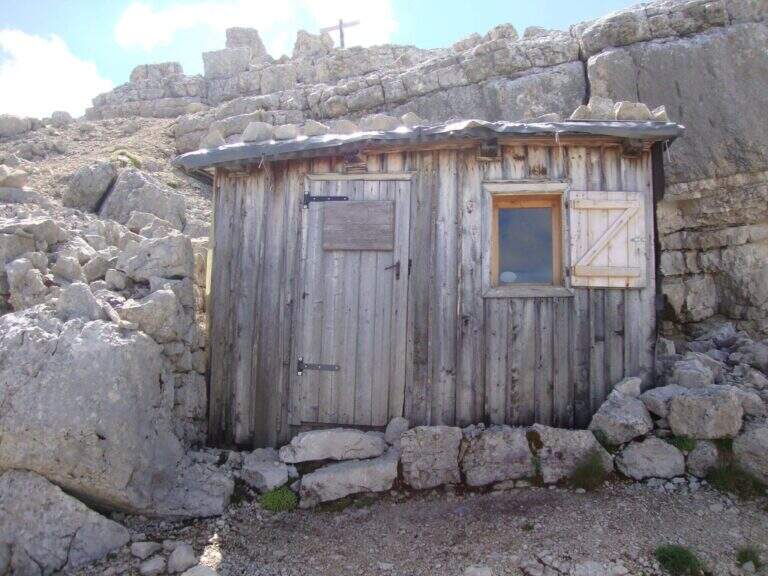
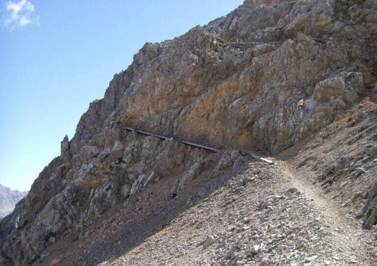
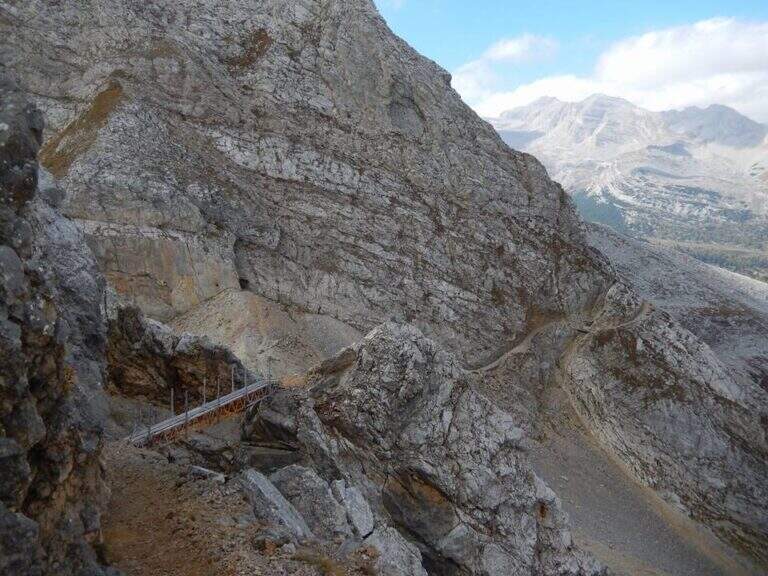
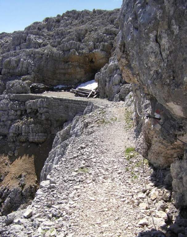
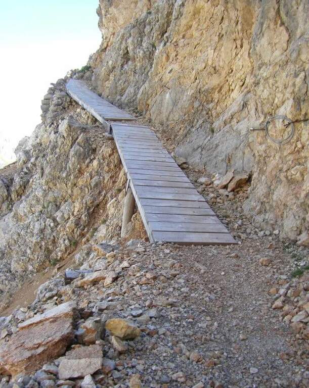
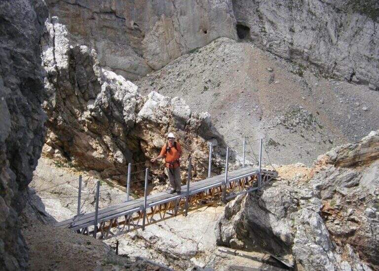
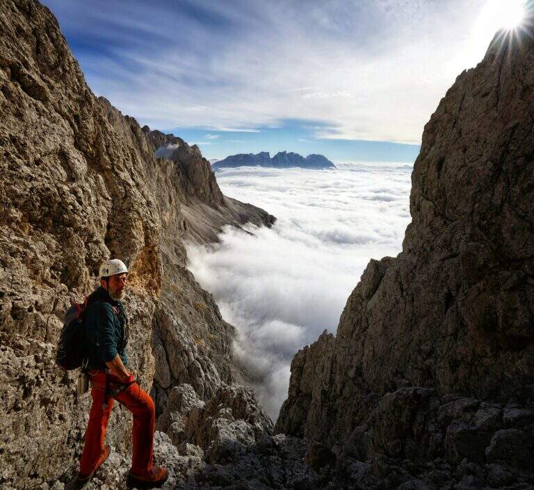
    Croda del Vallon Bianco. Si sale per l'itinerario attrezzato, molto esposto ma largo, su un ampio sentiero di origine militare a mezzacosta che alterna cenge a canalini; dopo circa 30' (esposti ma non difficili) si passa presso un muretto a secco da cui una traccia porta in 15-20' al Bivacco Baccon-Barborka (4 posti). Proseguendo si incontrano passerelle in legno, un solido ponte sospeso e altre passerelle; risaliti alcuni tornanti e ultime cenge si raggiungono il libro delle firme e la croce sull'ampio pianoro sommitale (2684 m, circa 4h totali). Per la Furcia Rossa si rientra al bivio a 2400 m (45' dalla vetta): qui conviene valutare energie e tempo per concludere l'intero giro (circa 10h).

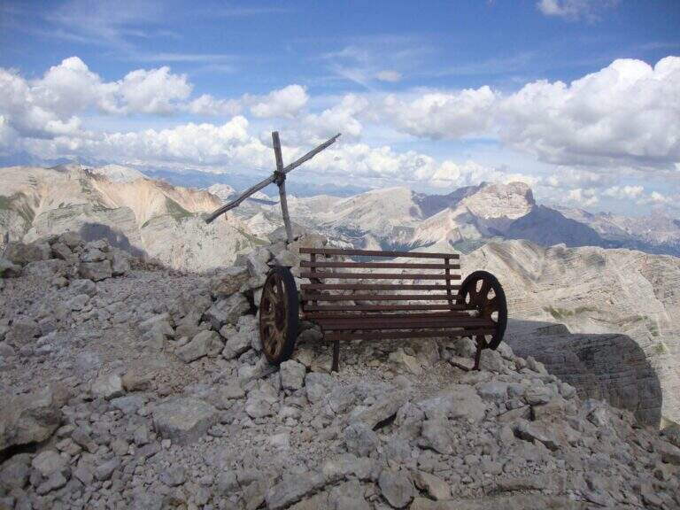
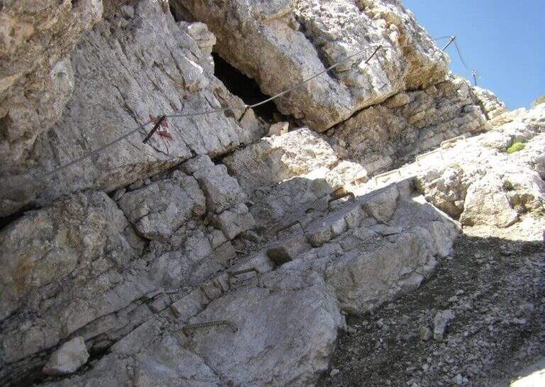
    Furcia Rossa. Dal bivio si seguono a sinistra le indicazioni lungo una cengia detritica sotto le pareti nerastre, a tratti sotto un tetto roccioso; prima dell'attacco si scende un camino con una fune e cinque scalette (due verticali, due appoggiate, un'ultima verticale) fino a un terrazzino, da cui un ripido sentiero porta alla forcella tra Furcia Rossa II e III. Inizia il tratto in salita: roccette in diagonale a destra, un tratto di sentiero non protetto, ancora roccette, una cengia attrezzata e una serie di scalette metalliche intervallate da rampe. Si raggiunge il passaggio chiave: una parete verticale con staffe metalliche, non difficile tecnicamente ma molto esposta e faticosa nei primi metri leggermente strapiombanti. Usciti dalla parete si risale, sul lato destro, un camino che porta in cresta e alla scarna croce della Furcia Rossa III, accanto a una panchina ricavata dalle ruote di un cannone (2791 m, 1h dal bivio, 5h 45' totali). Si prosegue verso sud scendendo, sul versante ovest, due scale appoggiate, un tratto di sentiero e altre due scalette più verticali ed esposte; dopo una cengia e ulteriori scale si scende la costa della Furcia Rossa con un'ultima fune verticale. Persi circa 200 m, si risale a mezzacosta fino al Bivacco della Pace (2760 m), sotto il Monte Castello, dove la via termina (1h 15' dalla vetta della Furcia Rossa III, 7h totali).

    ▲Character and difficulty

    Tecnicamente di media difficoltà, ma estremamente lungo e poco battuto, in ambiente stupendo con viste su Fanes, Tofane e Dolomiti di Badia. Da affrontare allenati e con margine di tempo.

    ⚠ Itinerario molto impegnativo per sviluppo e isolamento: indispensabile tempo stabile, perché i bivacchi sono distanti tra loro e il maltempo qui può creare seri problemi. Da valutare il pernottamento in bivacco o rifugio.
    ▲History

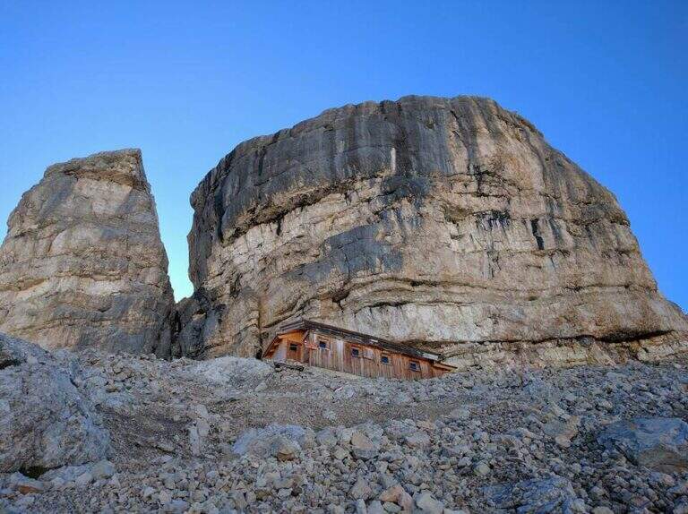
    La via attraversa quello che fu il fronte della Grande Guerra. Il bivacco lungo il percorso è dedicato al capitano Barborka, che guidava i Kaiserjäger austriaci in questa zona: dopo scontri cruenti, nel luglio 1916 le truppe italiane ebbero la meglio e vollero rendere omaggio al valoroso ufficiale nemico.

    ▲Discipline

    Dal Monte Castello si scende per la vallata del Vallon Bianco, versante ovest, sul sentiero 17 in costante discesa fino al bivio dell'andata e quindi a Malga Gran Fanes (2102 m, 1h 15' dal Monte Castello). Da qui si percorre a ritroso l'avvicinamento: Forcella Ju d'Ega, vallone del Gran Pian e Col de Locia, fino alla Capanna Alpina (10h totali).

    ▲To match

    Itinerario ideale da spezzare in due giorni con pernottamento in bivacco. Nel Parco di Fanes si abbina alle ferrate al Sasso delle Nove e al Sasso delle Dieci e al Sentiero Dolomieu; verso la Val Travenanzes alla Ferrata Lipella and Ferrata Brigata Alpina al Col dei Bos.

    ▲Gallery
    Technical data
    • DifficultyModerately Hard
    • RegionTrentino-Alto Adige
    • GroupFanes
    • Approach3:00 h
    • Ferrata4:00 h
    • Itinerary (a/r)10:00 h
    • Hardware level difference300 m
    • Route difference1100 m
    • Max2781 m
    • Length20,2 Km
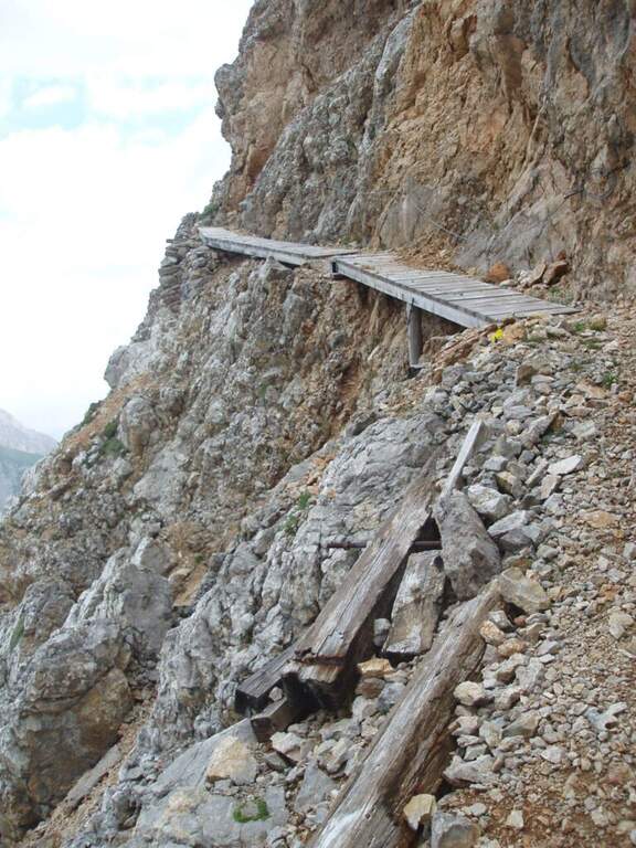
  • Ferrata Oskar Schuster al Sassopiatto

    Ferrata Oskar Schuster al Sassopiatto

    Vie Ferrate › Trentino-Alto Adige › Trento
    Ferrata Oskar Schuster al Sassopiatto
    Moderately Hard● OpenDescriptionComplexityMapsGallery

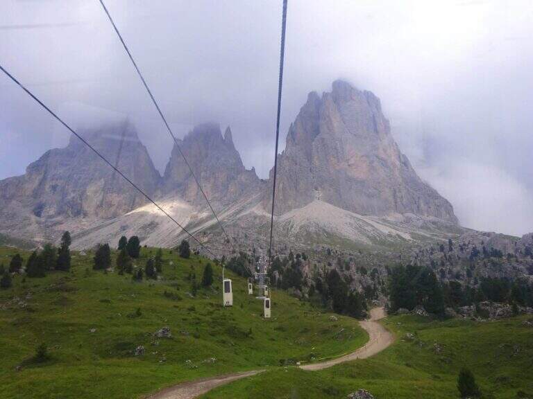
    La storica Ferrata Oskar Schuster è un itinerario parzialmente attrezzato che sale alla Cima di Mezzo del Sassopiatto, nel gruppo del Sassolungo. I tratti attrezzati sono di media difficoltà, ma la via alterna passaggi su cavo a sezioni in libera (per lo più I grado, qualche II) all'inizio e alla fine: ambiente di alta montagna senza vie di fuga, da percorrere solo con tempo sicuro.

    ▲Approach

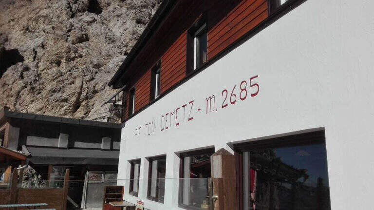
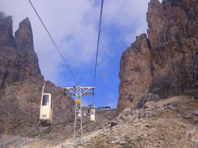
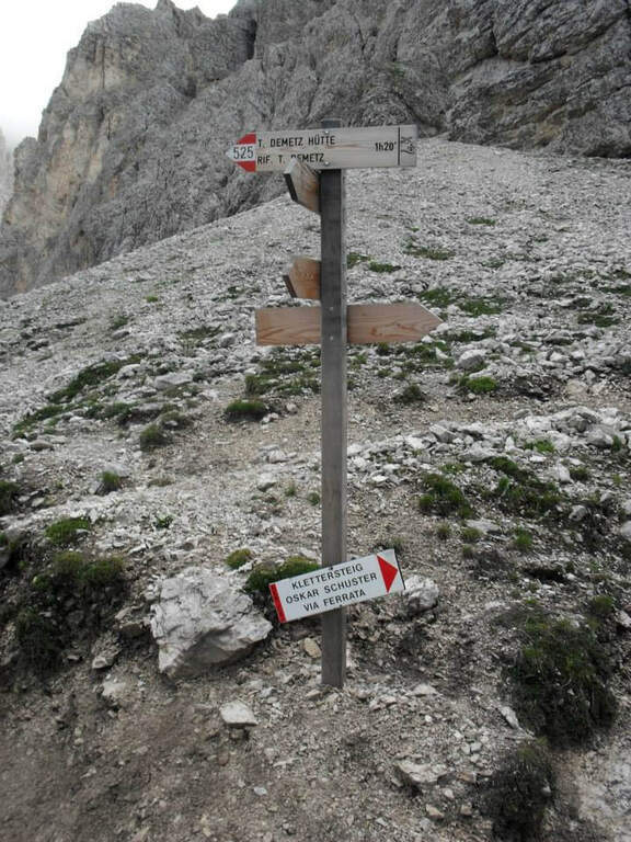
    Il punto di partenza è la stazione a valle della funivia che dal Passo Sella sale al Rifugio Toni Demetz; il Passo Sella si raggiunge dalla Val di Fassa (Canazei) o dalla Val Gardena (Selva). Starting point on Google Maps. Conviene salire il primo dislivello dal Passo Sella (2180 m) al Rifugio Toni Demetz (2685 m) con la cabinovia (in alternativa il sentiero CAI 525, circa 1h 30'). Dal Demetz si scende ripidi sul CAI 525 nel vallone fino al Rifugio Vicenza (2253 m, 45' dalla stazione a monte). Lasciato il rifugio si prosegue nella detritica conca del Sassopiatto verso il punto più alto del cono formato da un ripido canalone, dove si trova l'attacco (45' dal Vicenza, 1h 30' totali); prima della prima fune si risalgono alcune roccette seguendo i segni a vernice rossa.

    ▲The path

    Le prime funi sono su una rampa inclinata che aggira uno spigolo (2550 m); poi le attrezzature si interrompono e si alternano tratti su cavo a passi in libera. Si superano roccette e un secondo spezzone aiuta a rimontare un balzo verticale; si entra in un canalino su gradoni naturali seguendo i bolli rossi fino a un nuovo salto, vinto con due staffe, seguito da un traverso esposto ma facile verso destra. Si continua su rampe e roccette non difficili e su un ampio vallone piacevole da arrampicare senza cavo, fino al punto più verticale dell'itinerario: una parete di una trentina di metri con ottimi appigli naturali e fune, che porta a un'ampia forcella di sosta. Oltre la forcella un nuovo tratto verticale, privo di appigli, si supera con solide staffe e una scaletta metallica; poco oltre si entra in un canalino e, aggirato uno spigolo, si raggiunge la suggestiva Forcella delle Torri (2730 m, 1h dall'attacco). Una comoda cengia in quota aggira la parete sud del Sassopiatto fino a un breve salto attrezzato; segue un lungo canalone senza attrezzature, con passi in libera non difficili ma da calcolare per il detrito. In alto il canalone si stringe in una fessura che immette nella cresta sommitale e quindi sulla Cima di Mezzo del Sassopiatto (2955 m, 2h dall'attacco, 3h 30' dalla stazione a monte).

    ▲Character and difficulty

    Ferrata vecchio stile, senza difficoltà tecniche elevate, che porta a una vetta di rilievo per un versante più alpinistico rispetto alla via normale (estiva e molto frequentata). Piacevole e arrampicabile sia sul cavo sia in libera; i passi liberi su roccia asciutta restano tra il I e il II grado e l'esposizione è in genere contenuta.

    ⚠ Itinerario di alta montagna senza vie di fuga: indispensabile meteo stabile. Attenzione ai tratti innevati fino a stagione inoltrata, soprattutto nei canalini e nel canalone finale.
    ▲Period and safety

    Stagione estiva, con neve possibile a inizio e fine estate. Cartografia consigliata: carte 4Land della Val di Fassa oppure della Val Gardena, Val di Funes e Alpe di Siusi.

    ▲History

    La via è dedicata all'alpinista tedesco Oscar Schuster, medico ed esploratore tra fine Ottocento e inizio Novecento, morto in Russia durante la Grande Guerra. Ripercorre in larga parte la salita che Schuster compiè nel 1895 con l'austriaco Hans Lorenz sulla parete est del Sassopiatto; attrezzata poco dopo, divenne una delle prime ferrate delle Dolomiti, come riporta il rapporto del 1896 della Sezione Accademica di Vienna del Club Alpino Austriaco, che ne propose il nome di Oscar-Schuster-Weg.

    ▲Discipline

    Si scende sul versante opposto (ovest), dapprima su sentiero roccioso poi ampio e facile, fino al Rifugio Sassopiatto (2300 m, 1h dal termine). Si prosegue sul CAI 557 toccando il Rifugio Sandro Pertini (2316 m) e il Rifugio Federico Augusto (2298 m), fino ai pressi del Col Rodella, da cui si raggiunge il parcheggio (3h dal termine, 6h 30' totali).

    ▲To match

    Sul Sassopiatto non vi sono altre vie attrezzate, ma dal Passo Sella si possono salire la breve Ferrata al Col Rodella o l'impegnativa Ferrata delle Mesules. Scendendo in Val Gardena: la Ferrata Tridentina e le ferrate del Piz da Cir; verso il Passo Pordoi la molto difficile Ferrata Piazzetta.

    ▲Gallery
    Technical data
    • DifficultyModerately Hard
    • RegionTrentino-Alto Adige
    • GroupSaxony
    • Approach1:30 h
    • Ferrata2:00 h
    • Itinerary (a/r)6:30 h
    • Hardware level difference395 m
    • Route difference700 m
    • Max2964 m
    • Length12,8 Km
  • Ferrata Ottone Brentari

    Ferrata Ottone Brentari

    Vie Ferrate › Trentino-Alto Adige › Trento
    Ferrata Ottone Brentari
    Moderately Hard● OpenDescriptionComplexityMapsGallery

    La Ferrata Ottone Brentari collega i Rifugi Agostini e Pedrotti sotto la Cima d'Ambiez, nelle Dolomiti di Brenta, senza difficoltà tecniche di rilievo ma con tratti esposti e l'attraversamento di vedrette. Qui è descritta in direzione Agostini-Pedrotti, che consente di percorrere la parte attrezzata in salita godendo dei panorami migliori.

    ▲Approach

    Partenza dal Ristoro Dolomiti (768 m) sopra Dorsino: in paese una strada segnalata «Val d'Ambiez» sale stretta lungo la valle fino al ristorante, dove si parcheggia. Starting point on Google Maps. Dal parcheggio si sale sul CAI 325 fino al Rifugio al Cacciatore (1820 m, 2h 15'), poi sempre sul 325 (Sentiero Dallago) al Rifugio Agostini (2410 m, 3h 30' totali). L'avvicinamento è lungo e supera circa 1700 m di dislivello: ha senso valutare un pernottamento in rifugio per affrontare riposati l'itinerario in quota.
    ▲The path

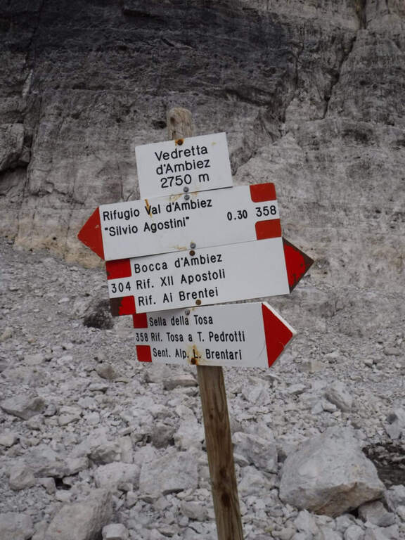
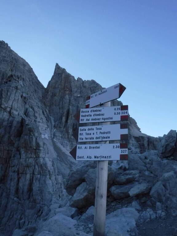
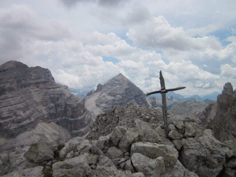
    Dal Rifugio Agostini si risale verso nord il vallone della Bocca d'Ambiez; si supera il bivio col CAI 321 (Ferrata Castiglioni) tenendo il lato sinistro e affrontando facili tratti attrezzati su roccette e cenge, fino alla Vedretta d'Ambiez (2800 m, 45' dal rifugio). Qui, dove il CAI 304 prosegue dritto verso la Bocca d'Ambiez, si tiene la destra attraversando la vedretta seguendo alcune bandierine rosse e prestando attenzione alla stabilità del ghiaccio presso il bordo. All'attacco (cartello rosso) si sale una parete appoggiata con ampie staffe, poi un traverso ascendente a sinistra e una serie di gradini metallici fino a un segnavia: a sinistra si va verso la Bocca d'Ambiez, a destra in salita prosegue la Brentari. Si guadagna quota con esposizione crescente ma su passaggi mai difficili: una scala metallica prima verticale poi appoggiata, facili balzi attrezzati, un'ampia cengia a destra e altre roccette. Si percorrono una seconda cengia, una serie di scale appoggiate e un tratto facile fino a un'altra scala; una lunga cengia conduce alla Bocca di Tosa (2845 m) e all'ultima scala, percorsa in discesa. Aggirato uno spigolo, dove un tempo c'era un ponte sospeso traballante si percorre una breve ed esposta cengia fino alla Sella di Tosa (2860 m, 45' dall'attacco, 1h 30' dal Rifugio Agostini), dove la ferrata termina.

    Da qui si scende verso il Rifugio Pedrotti su tracce, con splendida vista sulla parete sud di Cima Tosa, sul Campanil Basso e sugli Sfulmini: alcune roccette non attrezzate portano sul versante sinistro della Vedretta di Tosa, che si scende affrontando alcuni nevai. Risalito un breve tratto, si incontrano i bivi per il Sentiero Attrezzato Apolloni e per il Sentiero Palmieri; proseguendo sul CAI 304 si aggira Cima di Brenta Bassa e si arriva al Rifugio Pedrotti (2491 m, 1h dalla Sella di Tosa, 6h 15' totali).

    ▲Character and difficulty

    Tecnicamente non difficile, ma abbastanza esposta nel tratto che sale dalla Vedretta d'Ambiez alla Sella di Tosa. Si presta benissimo a essere concatenata con gli altri itinerari attrezzati del Brenta.

    ⚠ Gli attraversamenti delle vedrette dipendono dall'innevamento e dalla sua stabilità, variabili di anno in anno: i ramponi sono un'opzione consigliabile anche in stagione avanzata. Indispensabile meteo stabile, vista la quota e l'ambiente.
    ▲Discipline

    La ferrata termina ben prima del Pedrotti. Per non raggiungere il rifugio si può imboccare il Sentiero Attrezzato Apolloni (CAI 320B), che si stacca a destra circa 20' prima del Pedrotti: esposto ma non difficile, resta in quota fino a Passo Forcoletta (2433 m) e scende al Rifugio al Cacciatore (2h 15' dal termine della ferrata, 8h 30' totali) e quindi al Ristoro Dolomiti (circa 10h). Volendo passare dal Pedrotti si percorre a ritroso il tratto fino all'Apolloni, aggiungendo circa un'ora (11h totali).

    ▲To match

    Per il lungo avvicinamento conviene unirla ad altri itinerari del Brenta: in più giorni con la Ferrata Castiglioni e il Sentiero dell'Ideale, oppure dal Pedrotti verso Bocca di Brenta con la Ferrata delle Bocchette Centrali and the recent Ferrata Spellini. Più a nord, la Ferrata delle Bocchette Alte con il proseguo nella Benini e il Sentiero Sosat.

    ▲Gallery
    Technical data
    • DifficultyModerately Hard
    • RegionTrentino-Alto Adige
    • GroupDolomiti di Brenta
    • Approach3:30 h
    • Ferrata2:45 h
    • Itinerary (a/r)10:00 h
    • Hardware level difference350 m
    • Route difference2100 m
    • Max2860 m
  • Ferrata Ombretta

    Ferrata Ombretta

    Vie Ferrate › Trentino-Alto Adige › Trento
    Ferrata Ombretta
    Moderately Hard● OpenDescriptionComplexityMapsGallery

    La Ferrata Ombretta, segnalata in alcuni punti come Ferrata Vernale, è un breve tratto attrezzato inserito in un ampio e impegnativo anello che risale la Val de Contrin fino alla Cima Ombretta Orientale (3011 m), affacciata sull'imponente parete sud della Marmolada. La parte ferrata è facile e adatta anche a chi è alle prime armi con le vie attrezzate, ma il giro complessivo — circa 18 km e oltre 1500 m di dislivello in ambiente di alta montagna — richiede una buona preparazione fisica.

    ▲Approach

    Si parte dall'ampio piazzale della funivia del Ciampac, tra Alba di Canazei e Penia, in Val di Fassa (Trento). Da Canazei si seguono le indicazioni per il Passo Fedaia; ad Alba, sulla destra, compaiono le funivie del Ciampac e il relativo parcheggio (1500 m). Starting point on Google Maps.

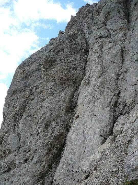
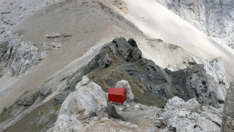
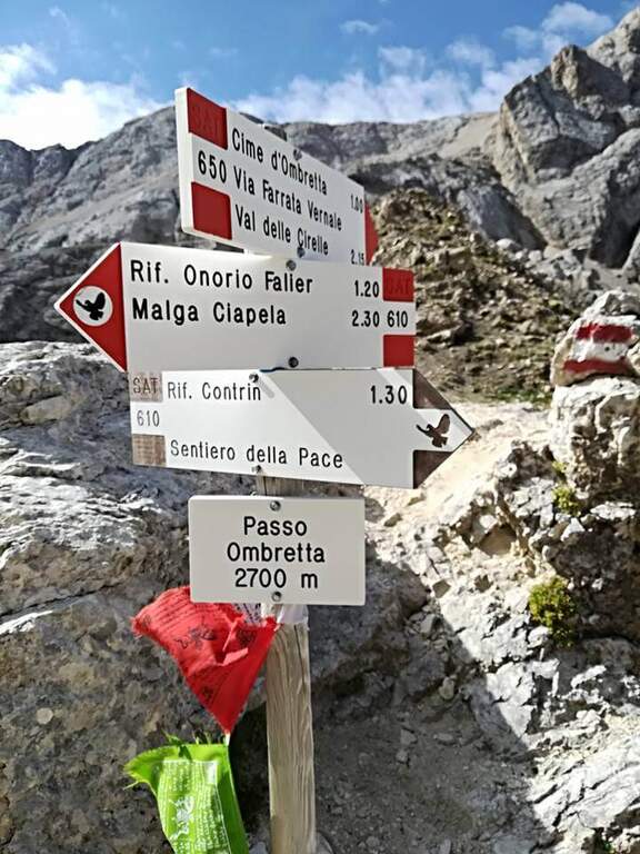
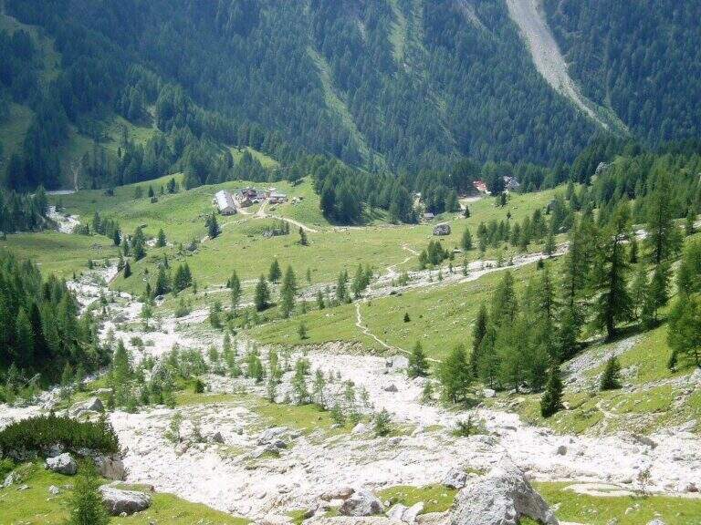
    Dal parcheggio si imbocca il sentiero CAI 602 verso sud, dentro il bosco: superato un torrente e ignorato il bivio per il 602A (che scende a Penia), si sale ripidi a tornanti fino alla Baita Locia Contrin (1736 m, 30'). Si prosegue nell'ampia Val de Contrin sul 602, a lungo accanto al torrente, trascurando le diramazioni per il Colac, il Passo San Nicolò e il Col Ombert, fino al Rifugio Contrin (2016 m, 1h 30'). Dal rifugio si seguono i segnavia CAI 607 lungo la forestale verso sud/sud-est, ignorando i sentieri 606 e 610 che a sinistra salgono al Passo Ombretta e alla Forcella Marmolada. Si continua sul 607 fino a un bivio: a destra prosegue il 609 per il Passo Paschè, si tiene invece la sinistra sul 607 verso la ferrata e il Sasso Vernale, entrando nella detritica Val di Cirelle. Attenzione a un bivio non segnalato: dove il 607 punta a sud/sud-est verso il Passo delle Cirelle, si tiene la sinistra risalendo ghiaie verso il Passo Ombrettola. Più in alto, a un ulteriore bivio (2h 45' dal parcheggio), si lascia il 607 e si prende a sinistra il CAI 650, che a mezzacosta porta alla bastionata della ferrata. L'attacco, segnalato da una scritta a vernice scura sulla roccia, è a 2570 m (3h dal parcheggio); poco sotto, una grotta consente di indossare comodamente l'imbrago.

    ▲The path

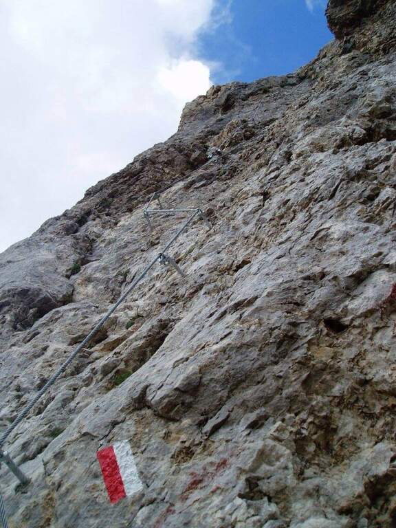
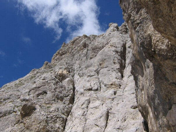
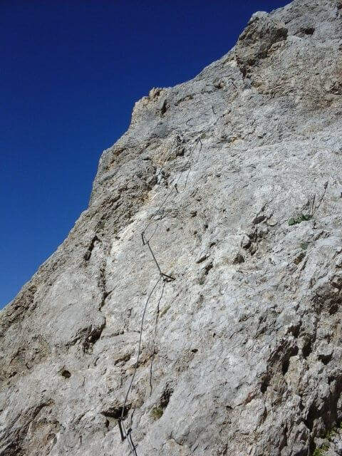
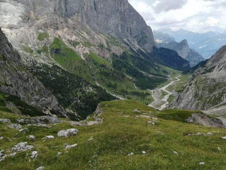
    Seguendo i segni bianco-rossi si raggiunge l'attacco. La via segue una linea logica e risale un tratto meno ripido rispetto alla bastionata sopra la grotta: si parte su una parete con buoni appigli, si prosegue su una facile cengia rocciosa e si imbocca un lungo canale diagonale, a tratti un po' stretto, che fa guadagnare quota senza difficoltà. Si conclude su roccette dal fondo detritico e poco stabile fino al termine delle attrezzature (2620 m, 20' dall'attacco, 3h 20' complessive), da cui lo sguardo torna sulla Val Contrin appena risalita.

    ▲Character and difficulty

    Tecnicamente la ferrata è breve e facile, adatta anche ai neofiti delle vie attrezzate, e l'attrezzatura è stata rinnovata di recente in ottime condizioni. Il vero impegno sta nell'itinerario: lungo, faticoso e in ambiente severo, con la quota dei 3000 m che non va mai sottovalutata.

    ⚠ Itinerario di alta montagna con forte dislivello (1511 m) e sviluppo di circa 18 km: da affrontare solo in buona forma fisica e con meteo stabile. Le roccette finali hanno fondo detritico instabile: casco indispensabile e attenzione a non scaricare sassi.
    ▲Period and safety

    Stagione tipicamente estiva: a inizio stagione la conca morenica oltre la ferrata può conservare neve. Per la cartografia della zona è utile la carta della Val di Fassa di 4Land.

    ▲Discipline

    Il rientro è ad anello. Dal termine della ferrata si prosegue verso est sul CAI 650 tra ghiaie e detriti verso una sella, con a destra l'imponente parete nord del Sasso Vernale. Si risale la conca morenica, ben segnata, fino a una sella a 2950 m (45'), dove conviene la breve deviazione a destra alla Vetta Ombretta Orientale (3011 m, 15' a/r), con vista magnifica sulla parete sud della Marmolada. Si continua a sinistra sul 650 fino a un'altra sella, poi si scende a destra su sentiero ripido, presso una costruzione della Prima Guerra Mondiale, verso il Passo Ombretta e il Bivacco Dal Bianco (2730 m, 1h 30' dal termine, 5h totali). Raggiunto il Passo Ombretta (2702 m) si tiene la sinistra sul CAI 610 che, in costante discesa, riporta al Rifugio Contrin (1h) e quindi, a ritroso lungo l'avvicinamento, al parcheggio (1h 30', 7h 30' totali). In alternativa, dal Passo Ombretta si può tenere la destra fino al Rifugio Falier (2074 m) per pernottare ai piedi della parete sud della Marmolada.

    ▲To match

    In un itinerario di più giorni la Ferrata Ombretta si abbina bene alla Funds for the Colac and Ferrata Kajserjager al Col Ombert, entrambe raggiungibili dalla Val de Contrin. Chi ha esperienza di ghiacciai può salire la Ferrata a Punta Penia sulla Marmolada (sentiero 606 dal Rifugio Contrin, con ramponi e attrezzatura da ghiaccio per la discesa sul ghiacciaio); dal Passo Fedaia è inoltre raggiungibile la Ferrata delle Trincee.

    ▲Gallery
    Technical data
    • DifficultyModerately Hard
    • RegionTrentino-Alto Adige
    • GroupMarmolada
    • Approach3:00 h
    • Ferrata0:20 h
    • Itinerary (a/r)7:30 h
    • Hardware level difference50 m
    • Route difference1511 m
    • Max3011 m
    • Length18,2 Km
  • Ferrata Olberg (Val di Vizze)

    Ferrata Olberg (Val di Vizze)

    Vie Ferrate › Trentino-Alto Adige › Bolzano
    Ferrata Olberg (Val di Vizze)
    Moderately Hard● OpenDescriptionComplexityMapsGallery

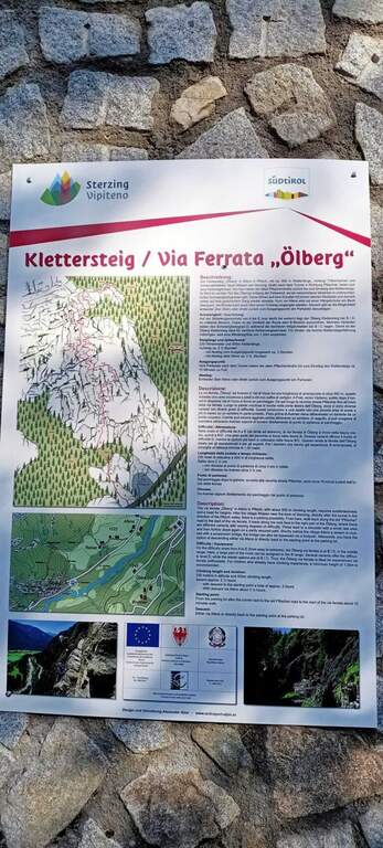
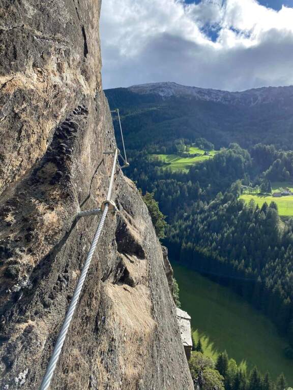
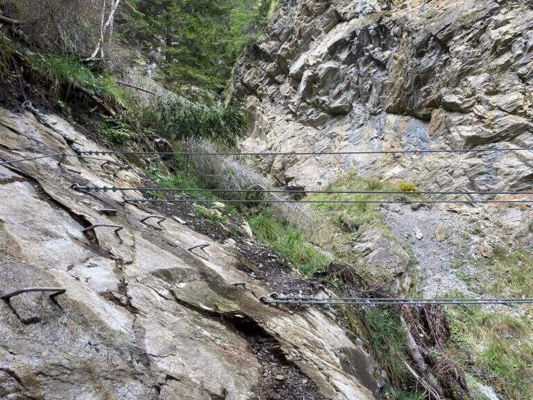
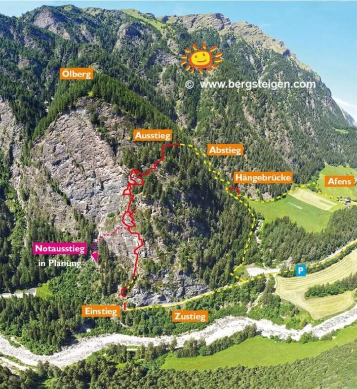
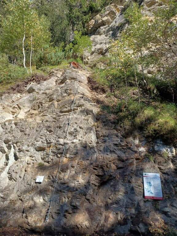
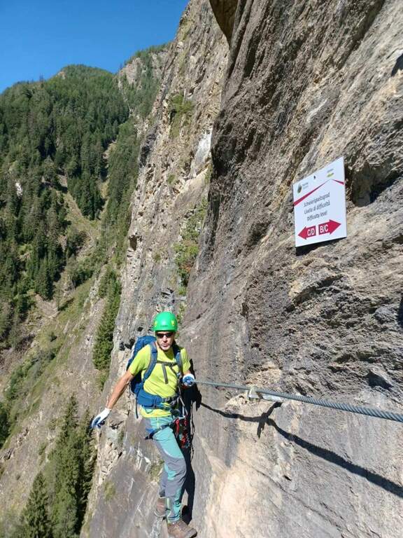
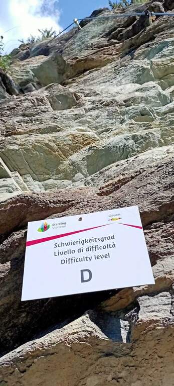
    Inaugurata nel 2022, la Ferrata Olberg è la prima via ferrata della Val di Vizze, vicino a Vipiteno: un itinerario moderno di circa 2 ore che risale una bella parete di roccia nerastra incastonata nella verde valle. È di media difficoltà con alcuni punti più impegnativi e propone due varianti con tratti difficili (evitabili).

    ▲Approach

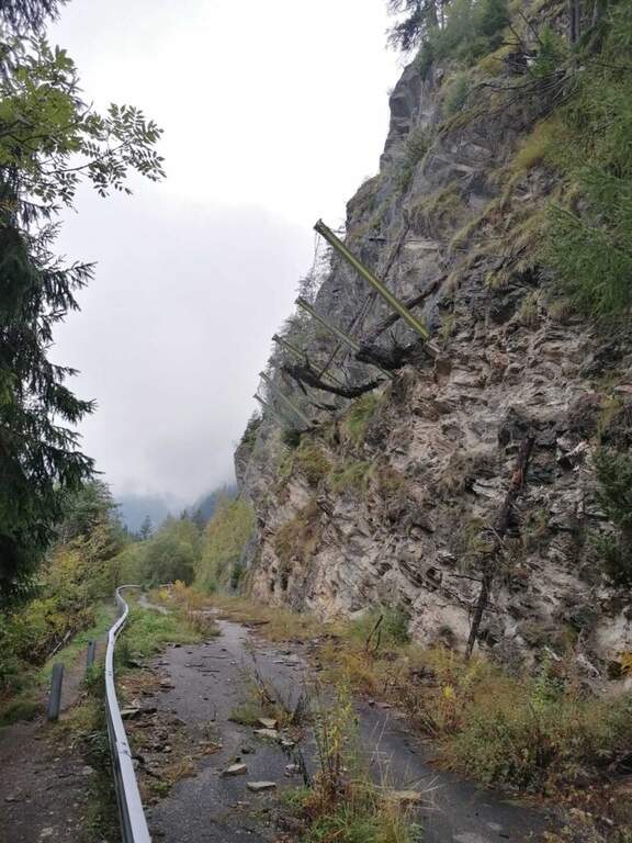
    Si parte lungo la strada che collega Vipiteno a San Jacopo in Val di Vizze. Da Vipiteno si raggiunge Prati e si prosegue in valle per circa 5 minuti; si entra in una galleria e, uscendone, dopo circa 200 m a sinistra si scende su una sterrata fino al parcheggio. Open road signs on Google Maps. Dal parcheggio si prosegue verso sud sulla vecchia strada fino a una rete paramassi, presso cui si trova l'attacco (10' dal parcheggio).

    ▲The path

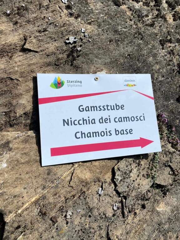
    L'inizio è facile e appoggiato: una breve paretina, un tratto di sentiero e una seconda paretina conducono a una scaletta metallica; risalita, si prosegue (slegati) verso la parete dove inizia la ferrata vera e propria. Si salgono una serie di paretine cercando i punti più facili da arrampicare, intervallate da scalette, fino a un esposto traverso a destra, una paretina e una lunga scala. A circa metà via si incontra una via di fuga a sinistra (circa 40' dall'attacco). Nella seconda parte la difficoltà cresce, pur restando «moderatamente difficile» salvo le due varianti «difficili» (evitabili): a ciascun bivio si può scegliere l'opzione moderata (a sinistra o a destra a seconda del bivio) o la variante difficile, più atletica e con appoggi sfuggenti o leggeri strapiombi. Lungo il percorso un bivio porta al punto panoramico «Nicchia dei Camosci». Superata l'ultima lunga scala, il tracciato principale prosegue senza difficoltà sostanziali tra brevi salti e tratti orizzontali fino al termine della ferrata (circa 2h dall'attacco). Chi vuole percorrere il ponte sospeso (circa 20 m, stabile) non tolga l'imbraco: un bivio segnalato sul sentiero di discesa vi conduce (è comunque evitabile).

    ▲Character and difficulty

    Via recente, attrezzature in ottimo stato e bei panorami sulla Val di Vizze. Le difficoltà maggiori sono concentrate nelle varianti, tutte aggirabili tramite il percorso principale.

    ⚠ Le varianti «difficili» sono più atletiche ed esposte: chi non se la sente le eviti scegliendo l'opzione moderata a ciascun bivio.
    ▲Period and safety

    Vista la quota e l'esposizione è generalmente percorribile anche nelle mezze stagioni.

    ▲Discipline

    Si segue il sentiero in discesa (eventualmente dopo il ponte sospeso) fino a riprendere il sentiero di avvicinamento, quindi a destra al parcheggio (2h 45' totali).

    ▲To match

    Nearby: la Ferrata delle Cascate di Stuller in Val Passiria; in Val Venosta la Ferrata Hoachwool e la Ferrata Knott in Naturno, and the Ferrata Heini Holzer a Merano.

    ▲Gallery
    Technical data
    • DifficultyModerately Hard
    • RegionTrentino-Alto Adige
    • GroupAlpi della Zillertal
    • Approach0:15 h
    • Ferrata2:00 h
    • Itinerary (a/r)2:45 h
    • Hardware level difference225 m
    • Route difference250 m
    • Max1358 m
    • Length1,5 Km
  • Ferrata Monte Nero (Presanella)

    Ferrata Monte Nero (Presanella)

    Vie Ferrate › Trentino-Alto Adige › Trento
    Ferrata Monte Nero (Presanella)

    The recent Ferrata Monte Nero is only a part — short (95 m of altitude) but central — of a long and challenging high mountain route that, from Val d'Amola and the Segantini Refuge, leads to the summit of the Presanella (3558 m), the highest point entirely in Trentino. L' itinerary requires l' crossing a vedretta with ramps.

    ▲Approach

    From the parking lot at the bridge on the Sarca stream, in Val d'Amola (Malga Vallina d'Amola, 2006 m). From the SS239 Pinzolo–Madonna di Campiglio, in Pinemonte Basso take the road to the Val Nambrone; beyond the Nambrone Refuge you climb on a carrabile up to a crossroad where you continue to the left (to the right the Cornisello Refuge) to the parking lot. Open road signs on Google Maps. Follow the signpost west 211, then at the junction you hold the right on the 211 «Oscar Collini» which, steep but without difficulty, leads to Rifugio Segantini (2373 m, 1h from parking). Behind the hut follow the signs for the Presanella to the north-west, pointing to the moraine and taking as reference the Black Mountain; you reach the vedretta (live ice or snow according to season: necessary ramps, attention to the rocks) and cut diagonally up to the rock, climbed up with passages of Igan up to the ' attack (3070 m, 1h 30&#.

    ▲The path

    New metal cable and numerous fixtures help on smooth rock passages. It rises on plates supported with some brackets, then an exposed but not challenging traverse overlooking the ' route. The ferrata is not continuous: in some places the cable leaves space to rocks and easy balconies. There is a narrow nod equipped with wooden catwalk, then alternating plaques and balconies and a'exposed sloped ramp to the right to the highest point of the road on the crest (3165 m). The cable then leads to the opposite side, going down for about 50 m towards the Vedretta of Nardis Orientale with uncomplicated climbing and a long set of fixtures, where the ferrata ends (30' from' attack). On this vedretta, in late season, the ramps usually do not serve; the main difficulty is l' orientation with poor visibility (pow omits and boils). Continue north-west along the valley to the plateau above the vedretta, from which you will find the Bivacco Orobica: to reach it a couple of delicate passages (a stretch equipped in descent and a cross exposed on friable bottom with wooden axles). From the bivouac (3382 m, 1h 30' from the end of the ferrata) follow the track on the left side of the crest to the summit of the Presanella (3558 m, 45' from the bivouac, 5h from the parking lot).

    ▲Character and difficulty

    Long itinerary, with significant difference in altitude and mountaineering character. The ferrata itself is difficult but short; the greater commitment is environmental. In the stretch between the Vedretta di Nardis and the Bivacco Orobica there are nails with mosquitoes useful for a sure with rope.

    ⚠ Need ramps and peak. Maximum attention in the crossing of the Vedretta di Monte Nero, also for the instability of stones. Start early: recommended overnight at the Segantini Refuge to reach the summit in the morning. Stable weather.
    ▲Period and safety

    Summer season with glacier under conditions. High mountain: evaluate snow, visibility and weather.

    ▲Discipline

    The return takes place backwards for the route (about 5h to the car, about 10h total).

    ▲To match

    Similar climbs in the area: Flower trail at Tonale, Ferrata Tabaretta all'Ortles e Cengles Croda Ferrata.

    ▲Gallery
    Technical data
    • DifficultyHard
    • RegionTrentino-Alto Adige
    • GroupAdamello-Presanella
    • Approach2:30 h
    • Ferrata0:30 h
    • Itinerary (a/r)10:00 h
    • Hardware level difference95 m
    • Route difference1558 m
    • Max3558 m
    • Length15,5 Km
  • Ferrata della Miniera dell’Erdemolo

    Hardware of the Erdemolo Mine

    Vie Ferrate › Trentino-Alto Adige › Trento
    Hardware of the Erdemolo Mine
    Moderately Hard● OpenDescriptionComplexityMapsGallery

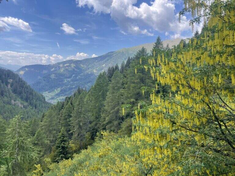
    The Ferrata della Miniera dell'Erdemolo is a very recent itinerary, realized above the ancient mines of calcopirite (arms) active between 1400 and 1600, in Val dei Mocheni. It is short and in the complex easy, with the only concluding part "moderately difficult": ideal for beginners and for those looking for a first taste of equipped path, between steep path, a short exposed crossing and a vertical wall bracketed with a pinch of overhanging.

    ▲Approach

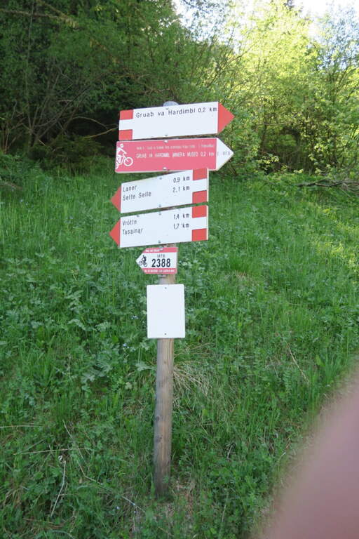
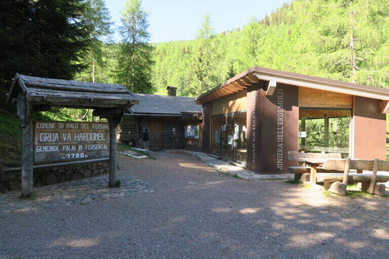
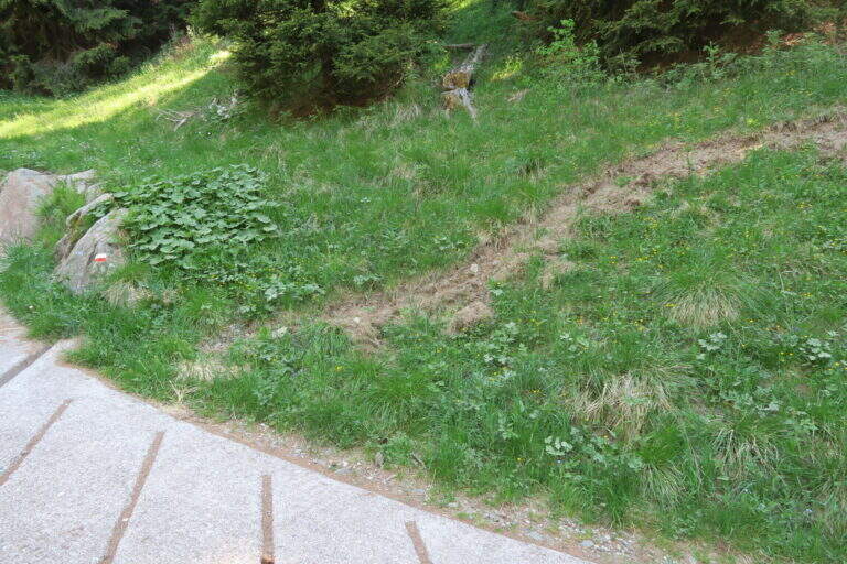
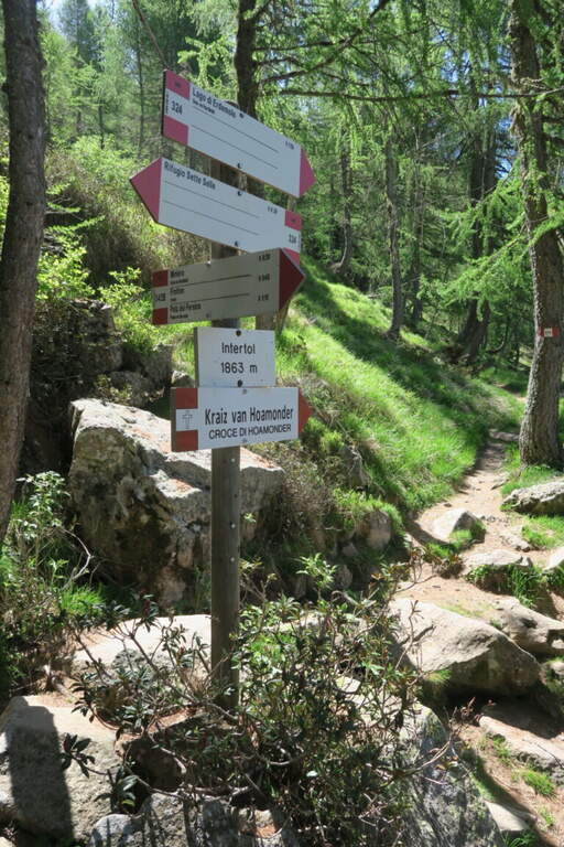
    Starting from the ' ample paid parking in the locality Frotten («Vròttn» in mòcheno), municipality of Palù del Fersina (TN), reachable by Pergine Valsugana; just before there is also a free parking lot in loc. Canopi, about 20' on foot. Open road signs on Google Maps. From the Frotten parking lot follow the forest road n. 325 towards «Miniera dell'Erdemolo»/Maso Lenzi, reaching in about 30' l' building of mine visits. Continue on the ascent cemented road (indications «Laner – Sette Selle») for about 300 m: on the right a diagonal track (if you reach the sign «343B – Intertol Sette Selle» you have gone over a few meters). This track, uphill south-east in the underwood, leads to all' attack in about 15' (1830 m, about 50' from parking).

    ▲The path

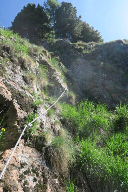
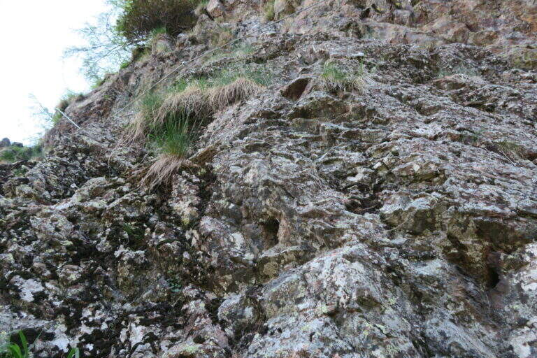
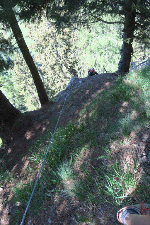
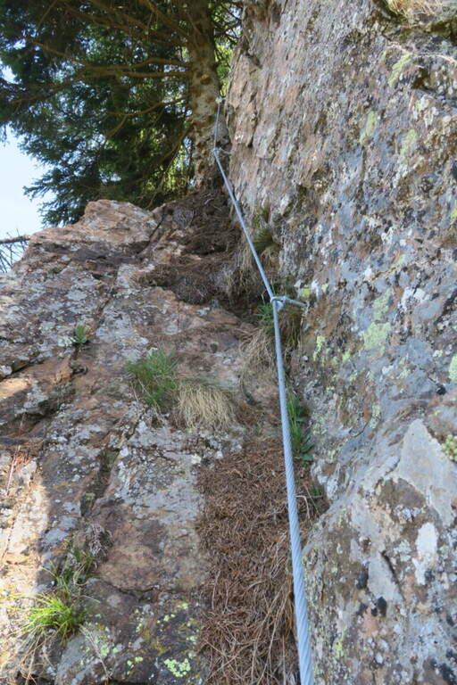
    The rope begins on a simple slope, followed by easy rocks and an easy crossing. For a large part it is a path equipped with the cord as a handrail, useful on the steep soil mixed with grassy laces and land; a short stretch of rock interrupts the grassy ascent, which continues to bends. A first cambre ladder is easily overcome, then a stretch in the undergrowth and a short and fun across rock in light exposure. Some brackets earn altitudes up to the most beautiful stretch: a traverse on rock and brackets to the left, well exposed for a few meters. The key point remains: a vertical paretine of about 10 m with a short and light strapiombo, however without force on the arms. It stands on a last grassy slope where the cord ends, at 1960 m (40' from' attack, about 1h 30' from parking).

    ▲Character and difficulty

    Short path and satisfaction, suitable for those who approach the ferrates. Exposed to the west, you can also face on summer days thanks to the limited direct irradiation. In both ways, unless otherwise indicated.

    ⚠ Ferrata completed in summer 2026 (Common of Palù del Fersina, PNRR funds): this is a very recent work, it is advisable to verify its status before departure.
    ▲Period and safety

    Summer season; given the low altitude and exposure to the west is pleasant also with moderate heat.

    ▲Discipline

    Continue east for a few dozen meters until you enter the trail 324, which takes to the left for the descent (about 20') until the crossroads "loc. Intertol". To return to the forest road and the mine holds the left on 343B; alternatively, on the right on the 324 you reach the Rifugio Sette Selle (about 20') and then descend to the sentiero 343 at the Frotten parking lot, closing a ring (recommended option).

    ▲To match

    Given the brevity, in the Valsugana area: the easy Ferrata di Valimpach at Caldonazzo, il Sentiero Attrezzato Church in Levico Terme, il Sentiero Attrezzato Bertotti at Passo del Cimirlo and, in the heart of Lagorai, the most challenging Ferrata Gabrielli in Cima d'Asta.

    ▲Gallery
    Technical data
    • DifficultyModerately Hard
    • RegionTrentino-Alto Adige
    • GroupChain of Lagorai
    • Approach0:50 h
    • Ferrata0:40 h
    • Itinerary (a/r)1:45 h
    • Hardware level difference130 m
    • Route difference460 m
    • Max1960 m
    • Length4,5 Km
Need help? Write to us!