Caratteristica: Alta quota

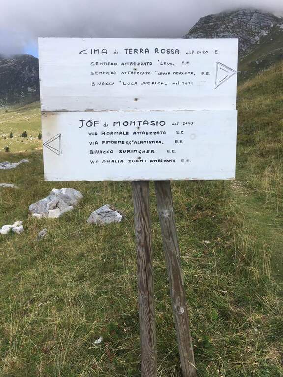
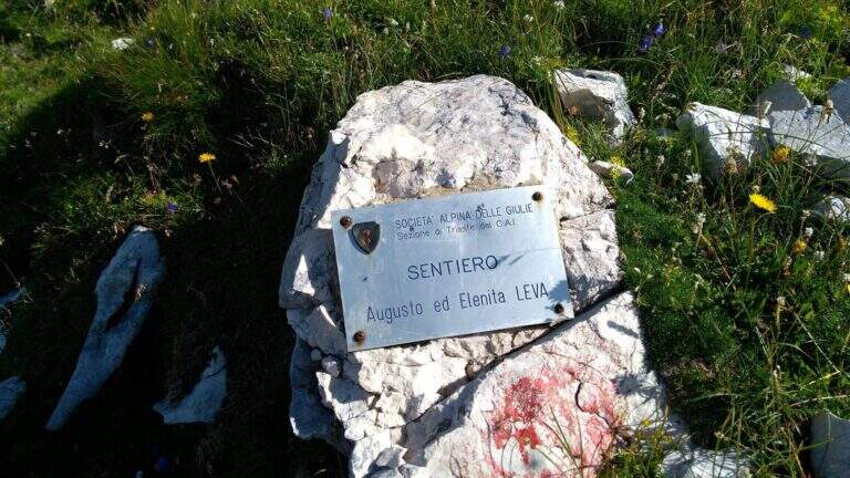
  • Sentiero Attrezzato Leva – Cima di Terrarossa, Montasio

    Sentiero Attrezzato Leva – Cima di Terrarossa, Montasio

    Vie Ferrate › Friuli-Venezia Giulia › Udine
    Sentiero Attrezzato Leva – Cima di Terrarossa, Montasio
    Moderately Hard● OpenDescriptionComplexityMapsGallery

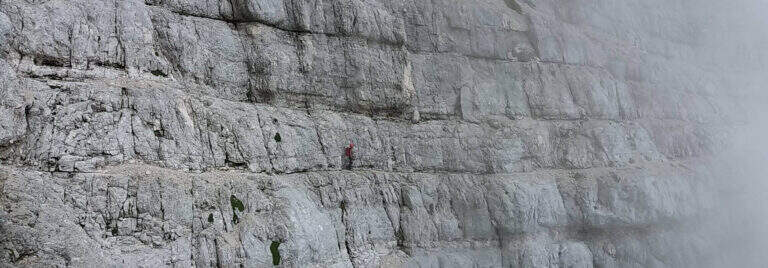
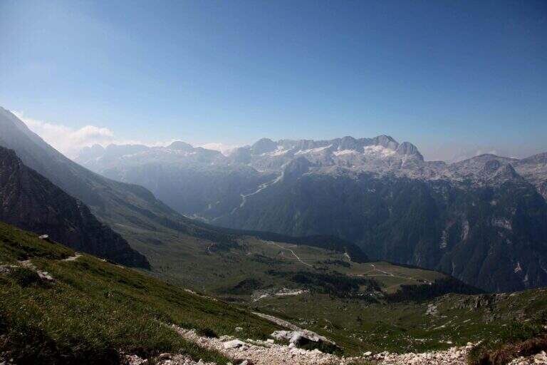
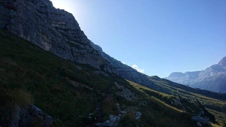
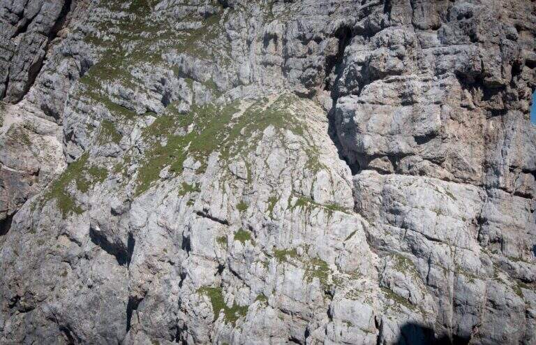
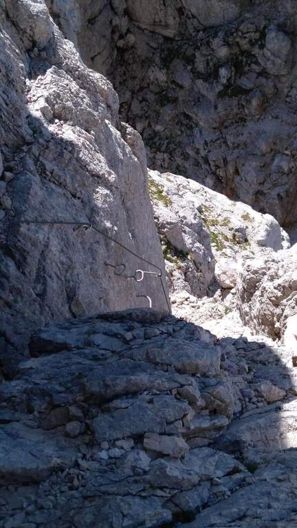
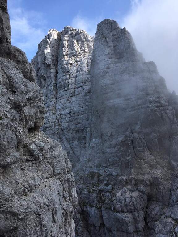
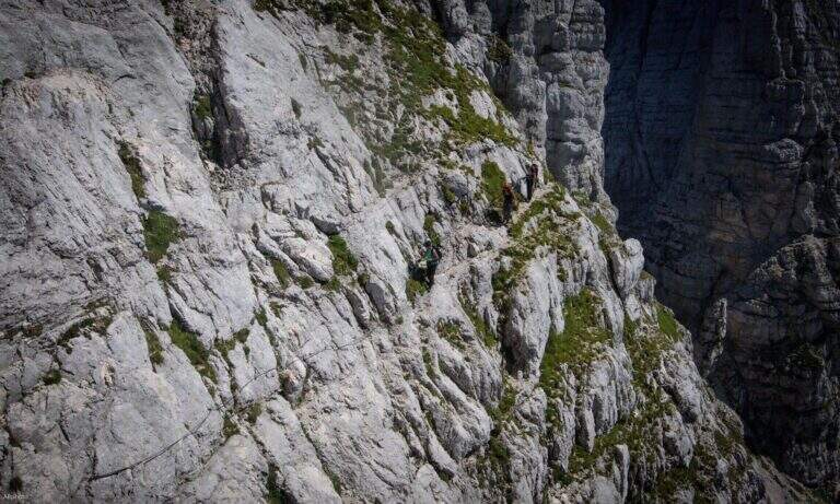
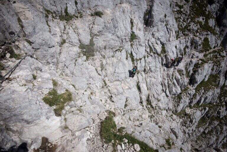
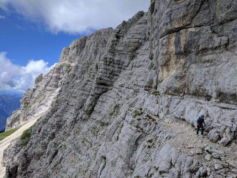
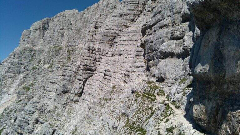
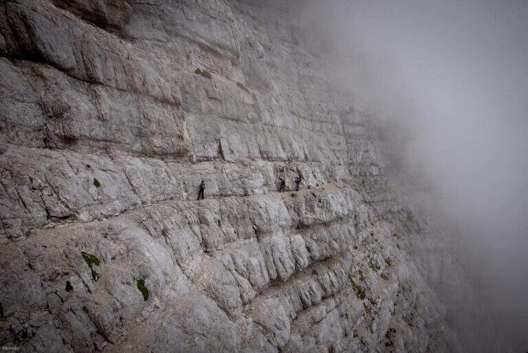
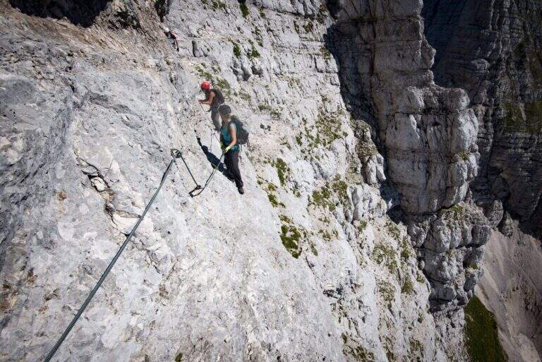
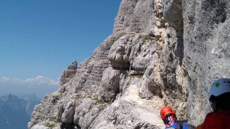
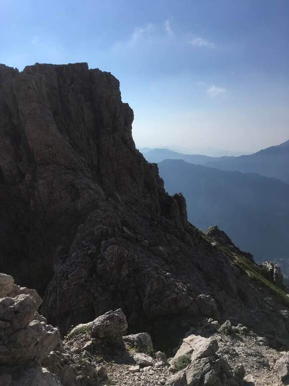
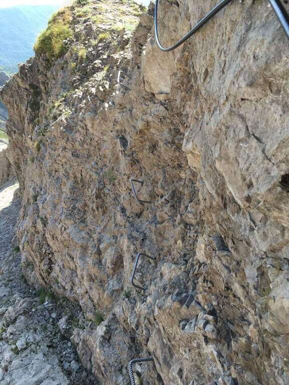
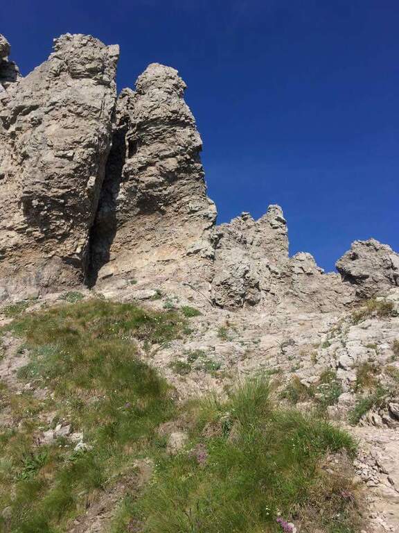
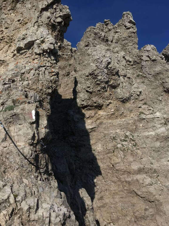
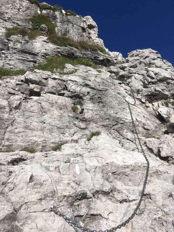
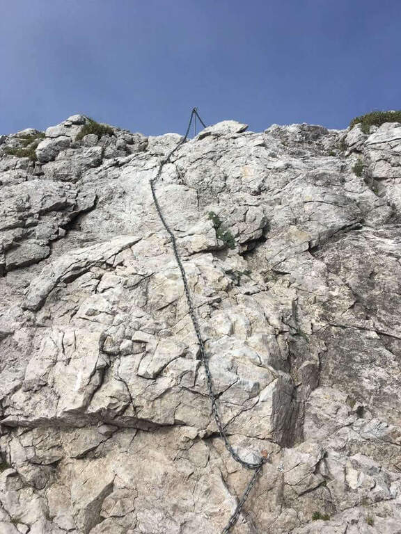
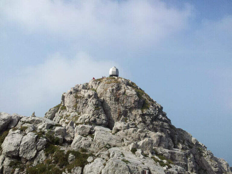
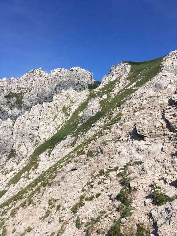
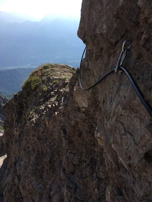
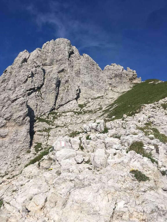
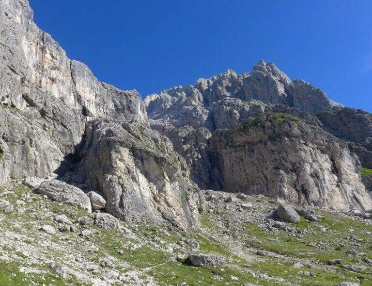
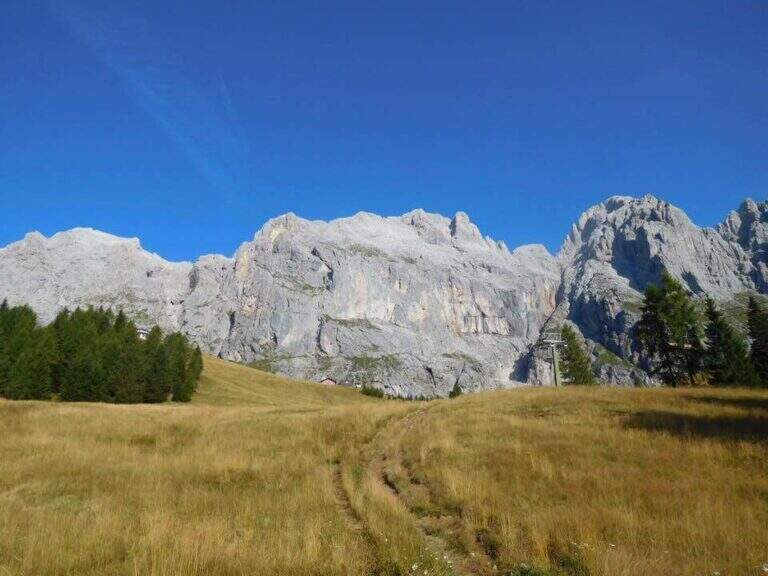
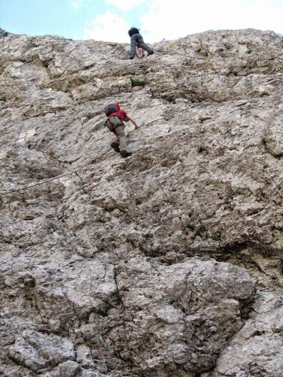
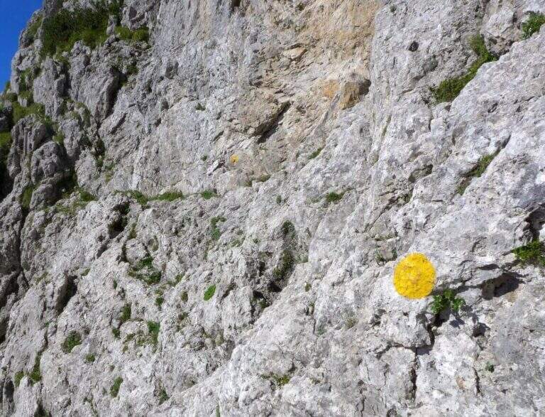
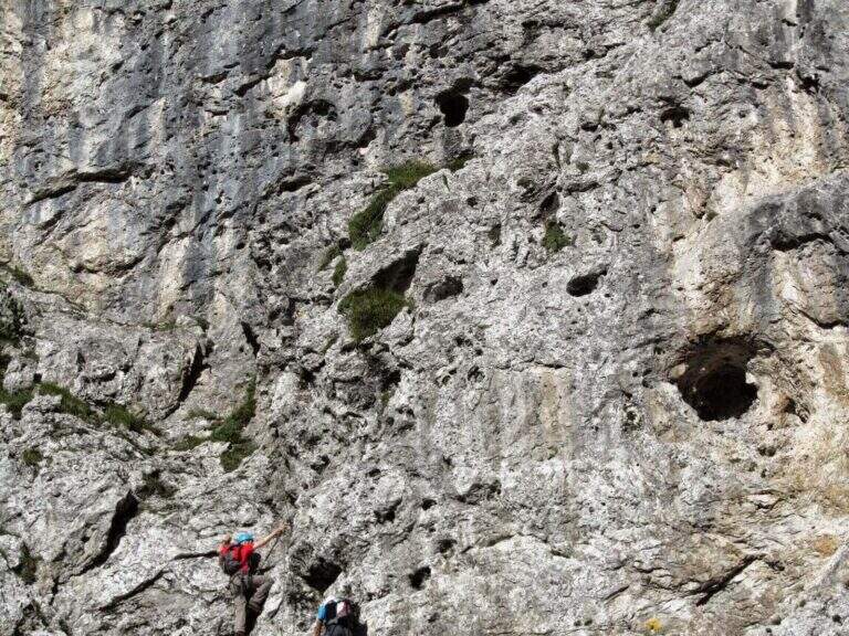
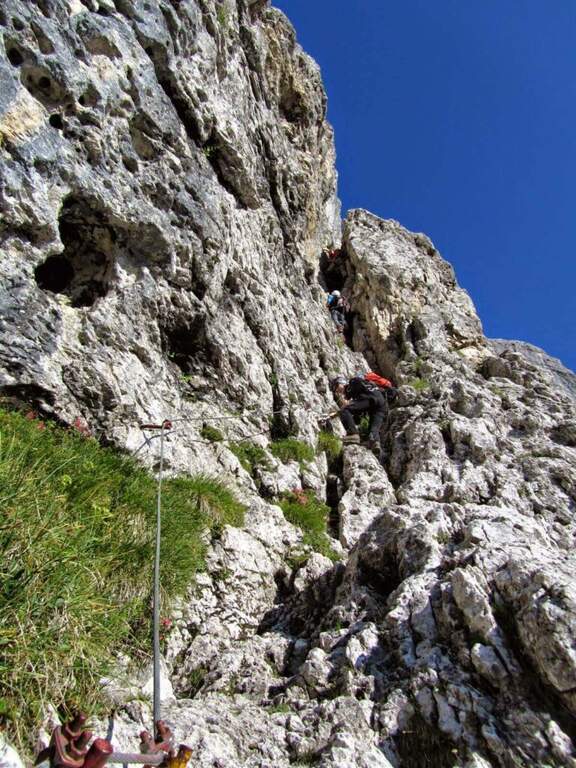
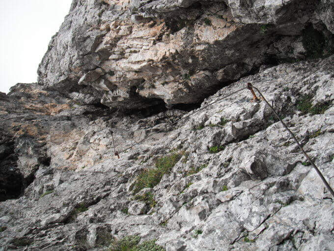
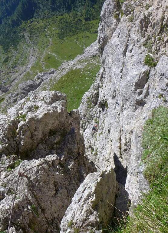
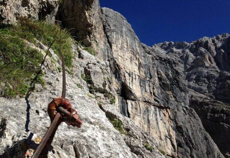
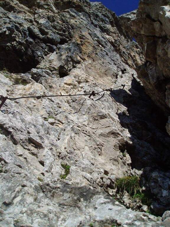
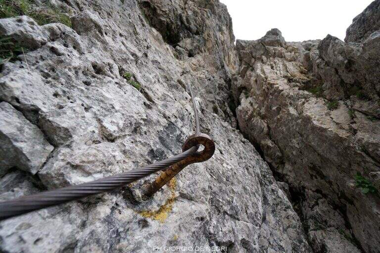
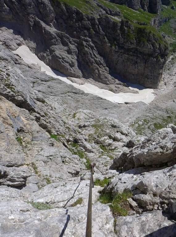
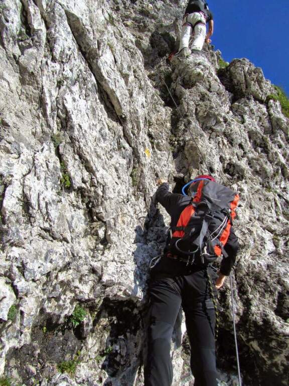
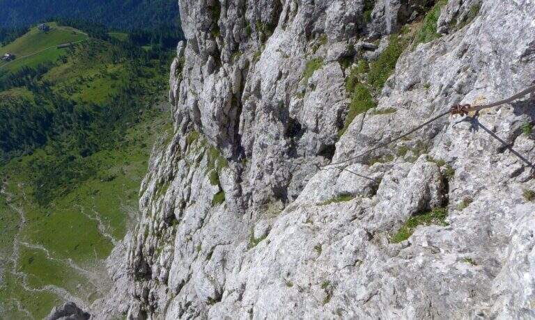
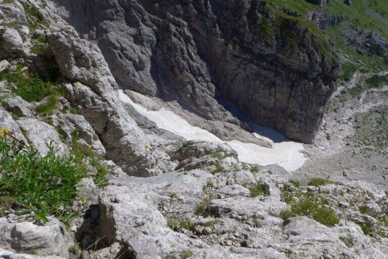
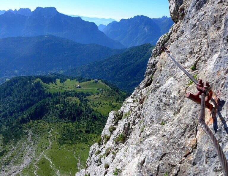
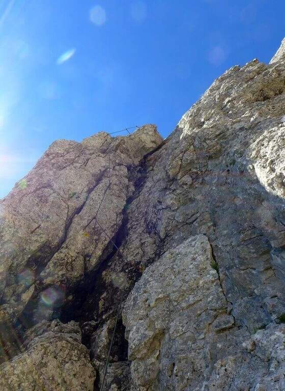
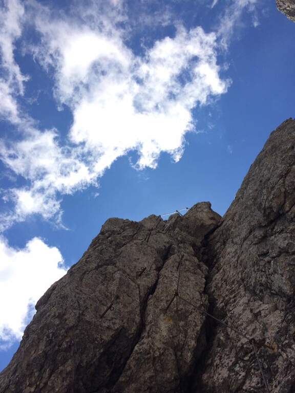
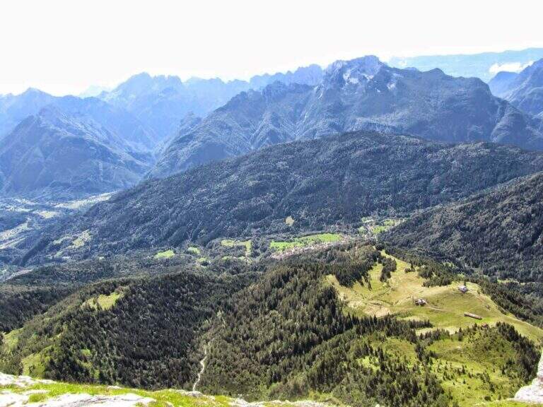
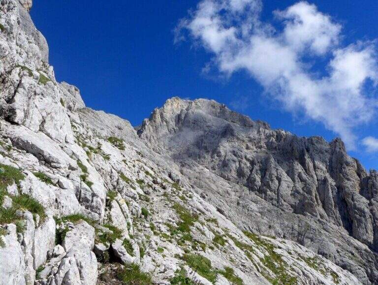
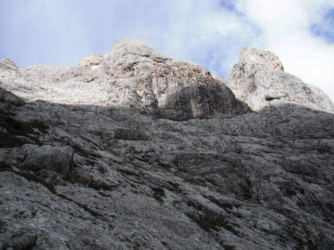
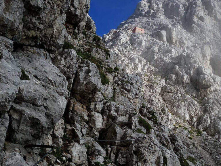
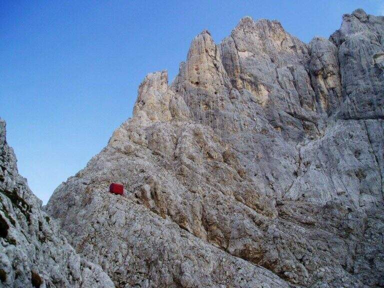
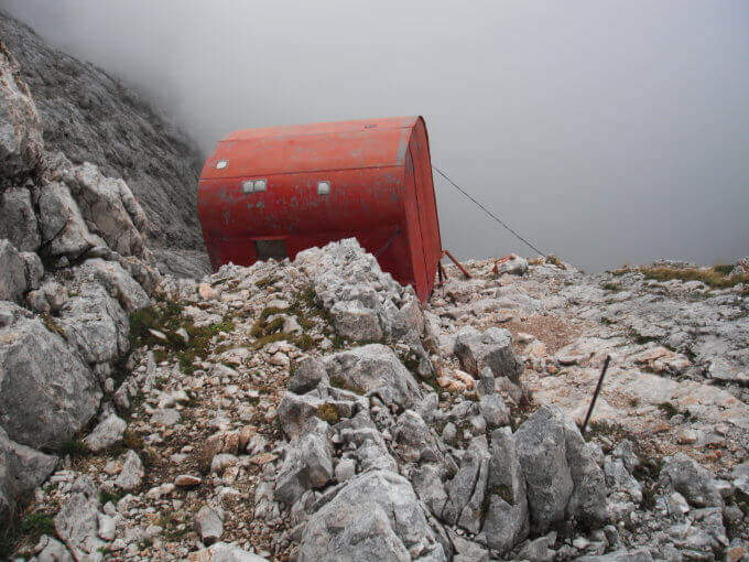
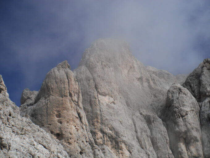
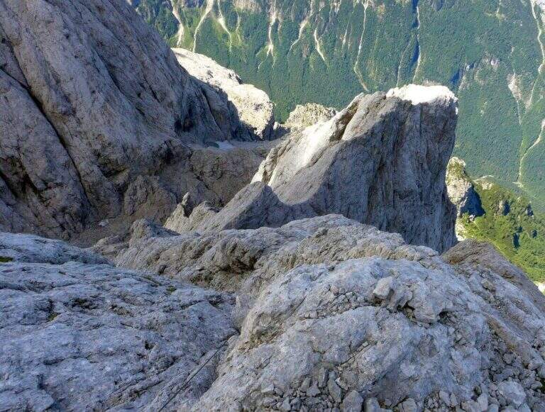
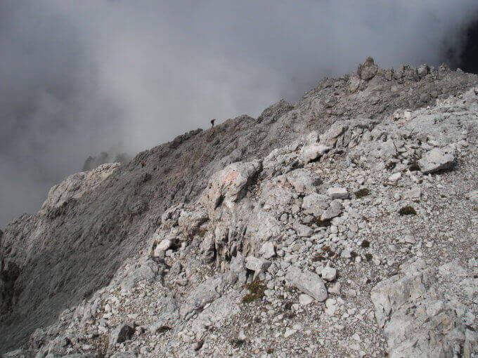
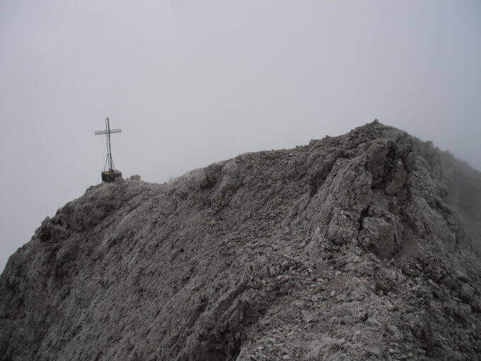
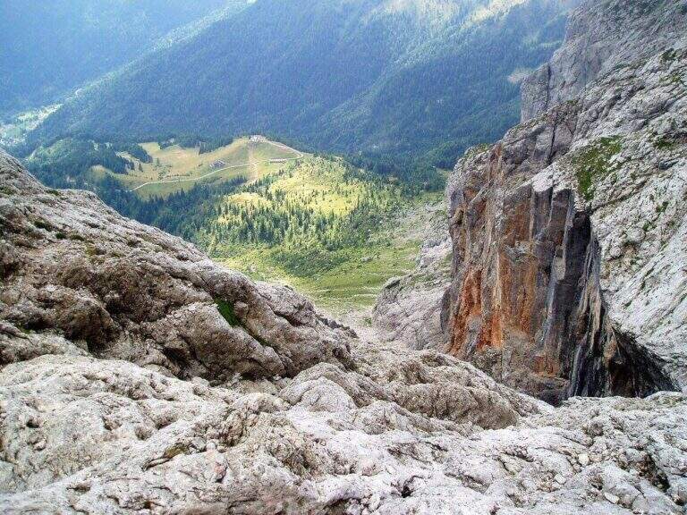
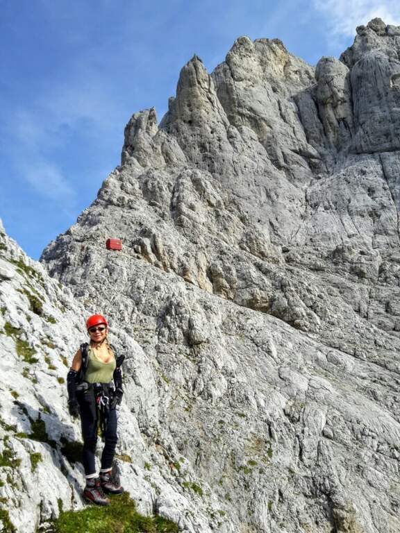
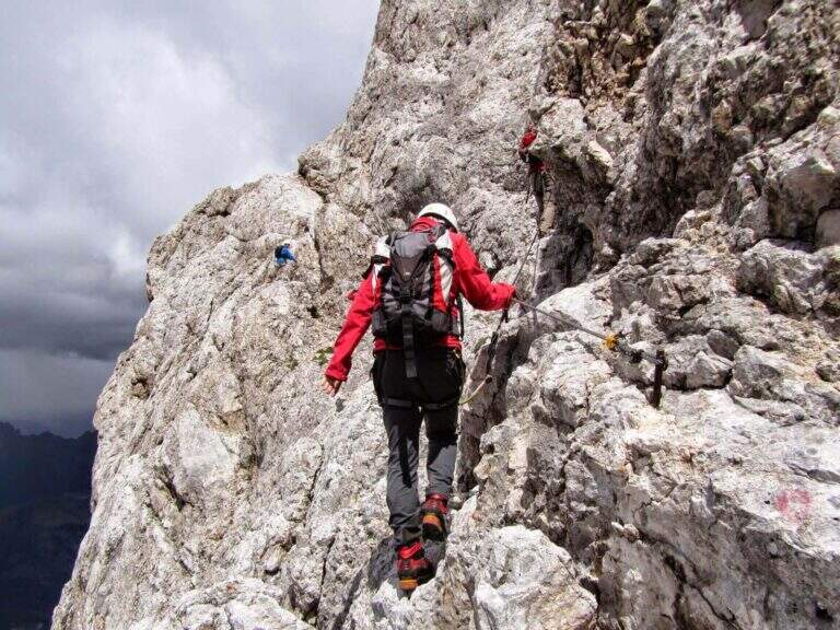
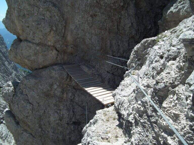
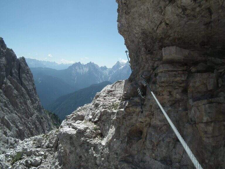
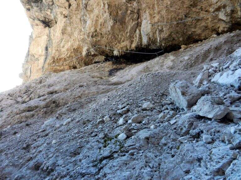
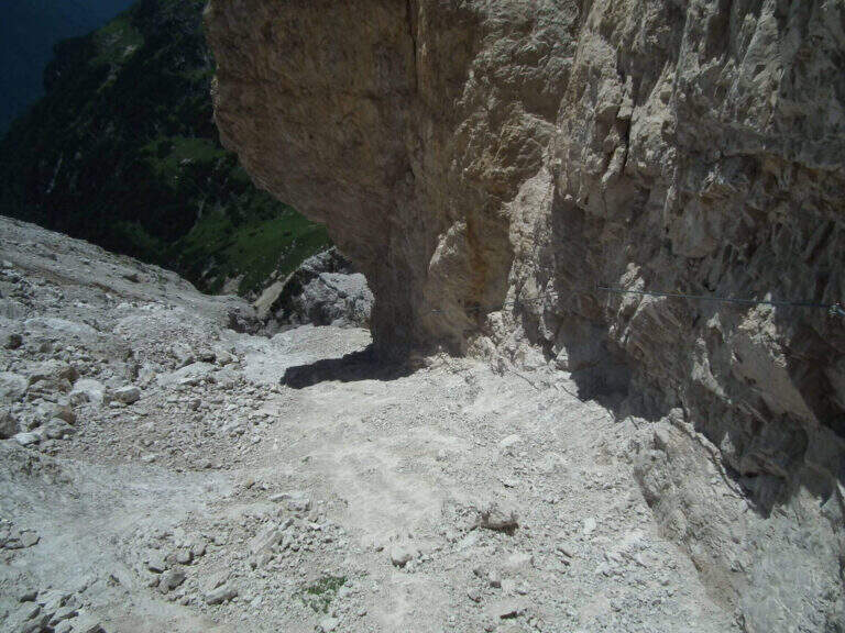
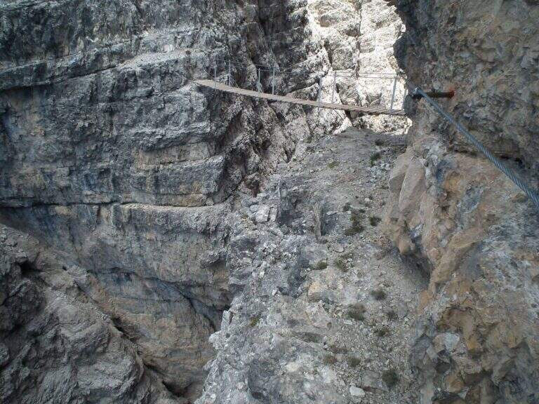
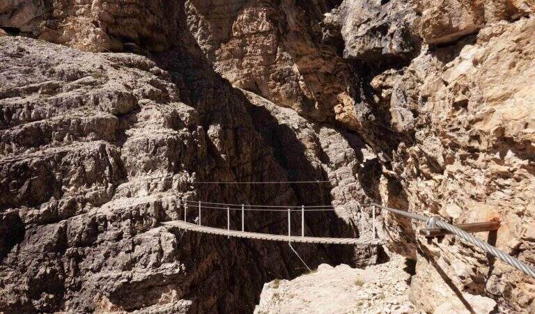
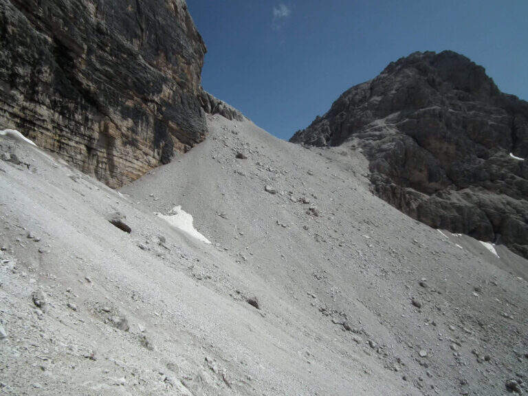
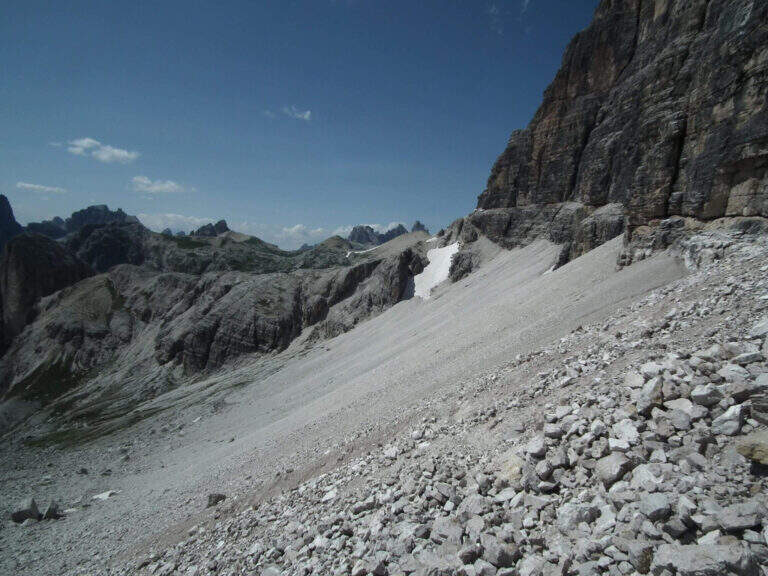
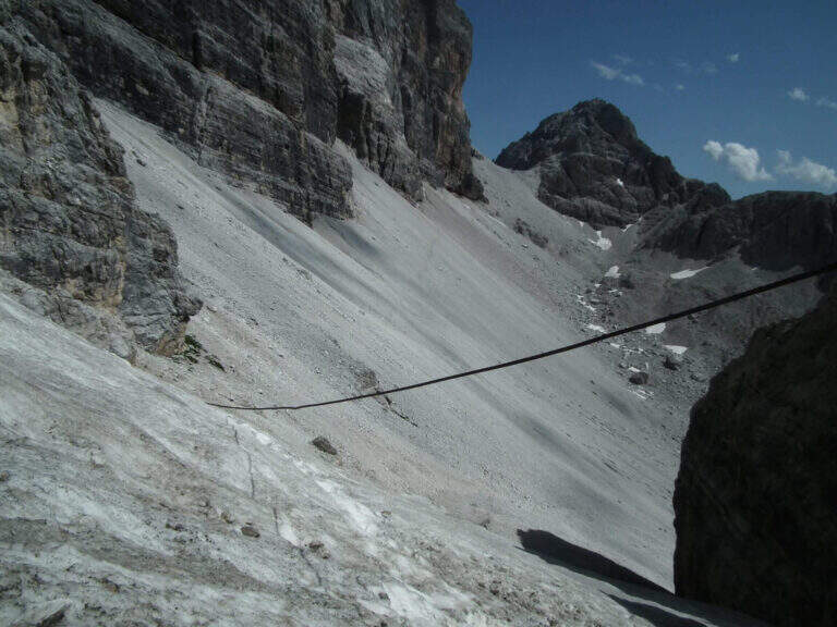
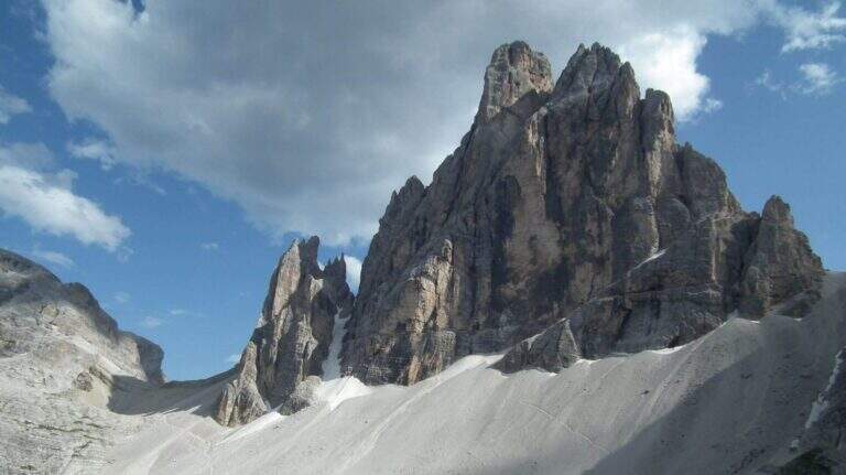
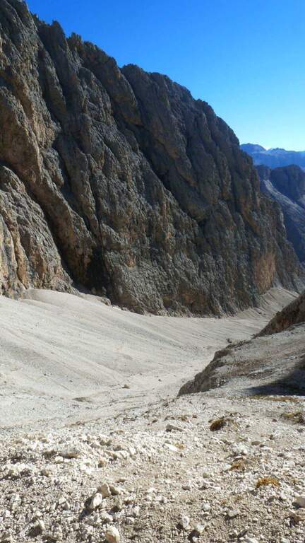
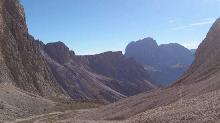
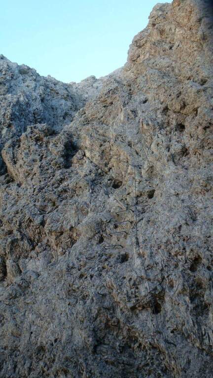
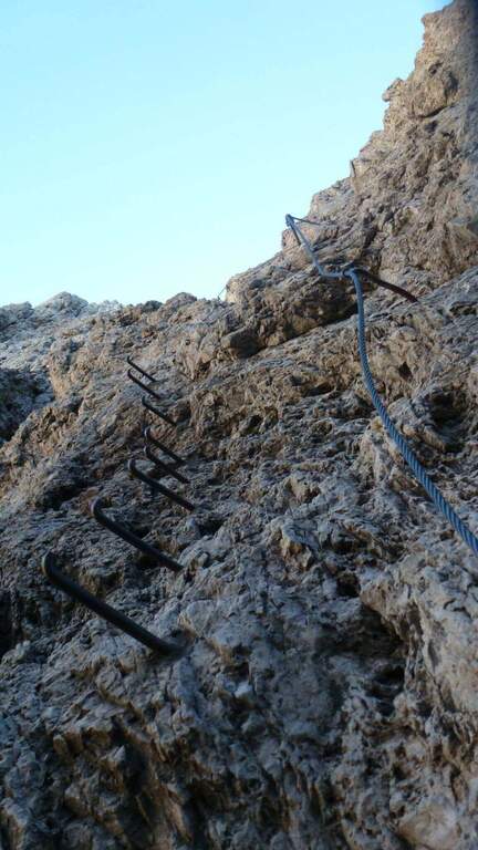
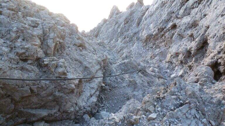
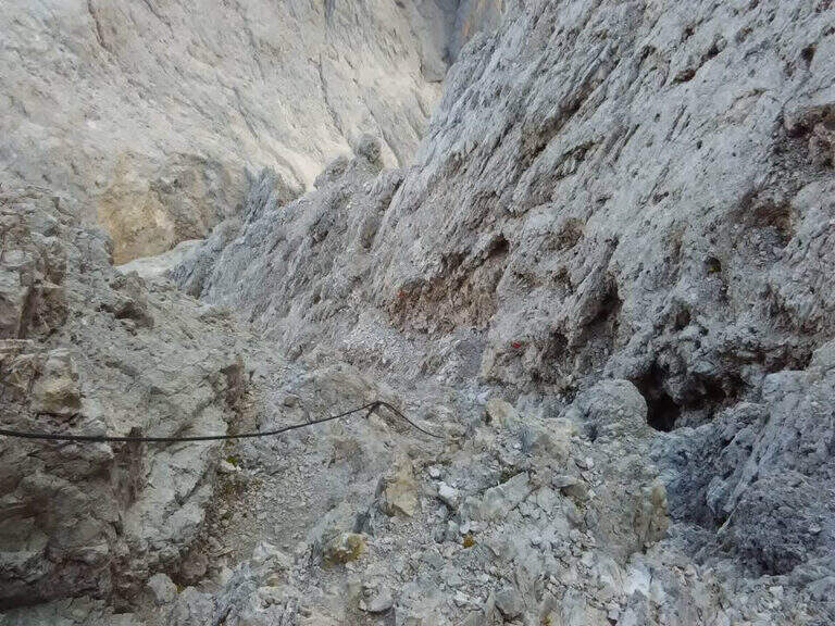
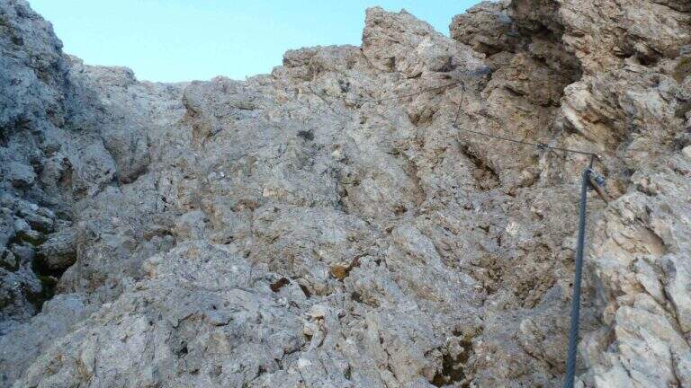
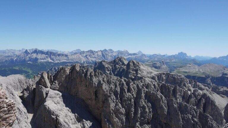
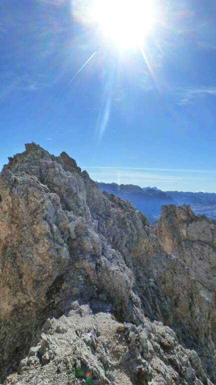
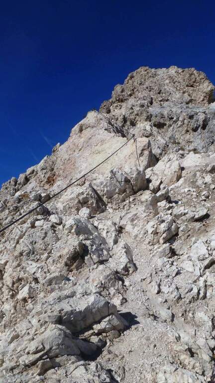
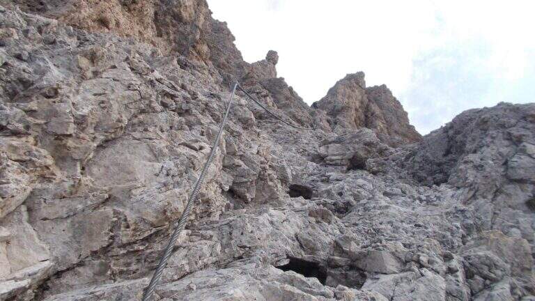
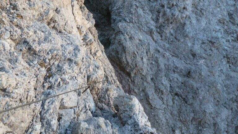
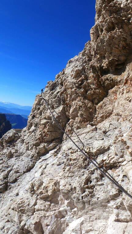
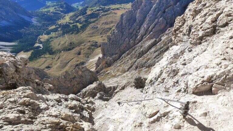
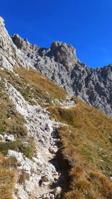
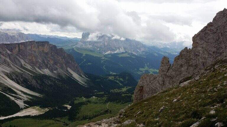
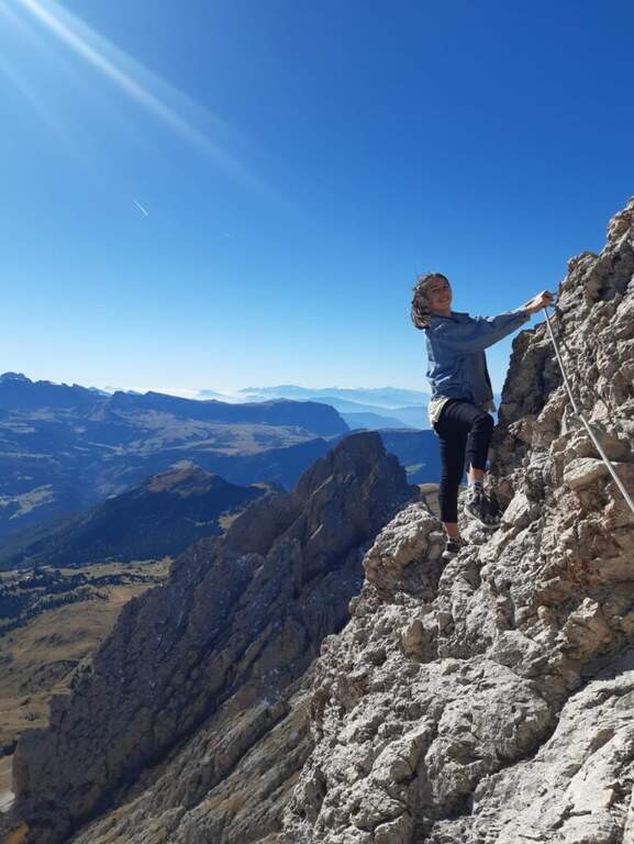
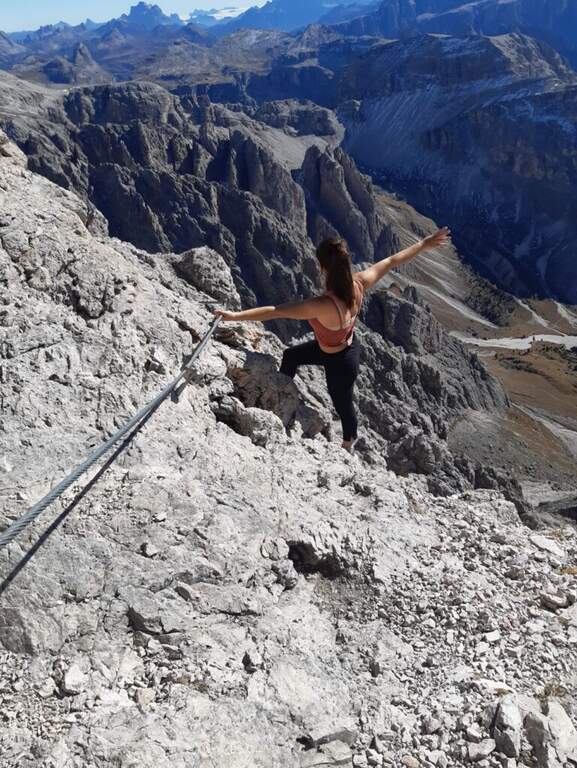
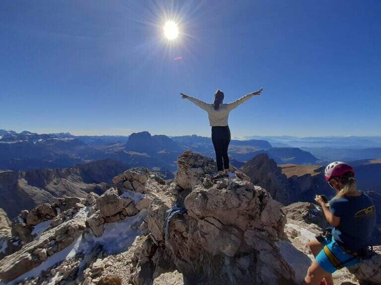
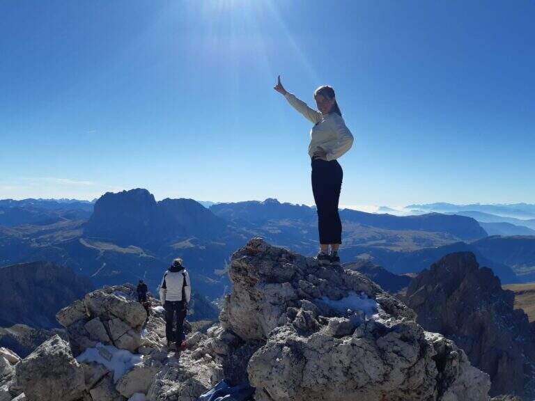
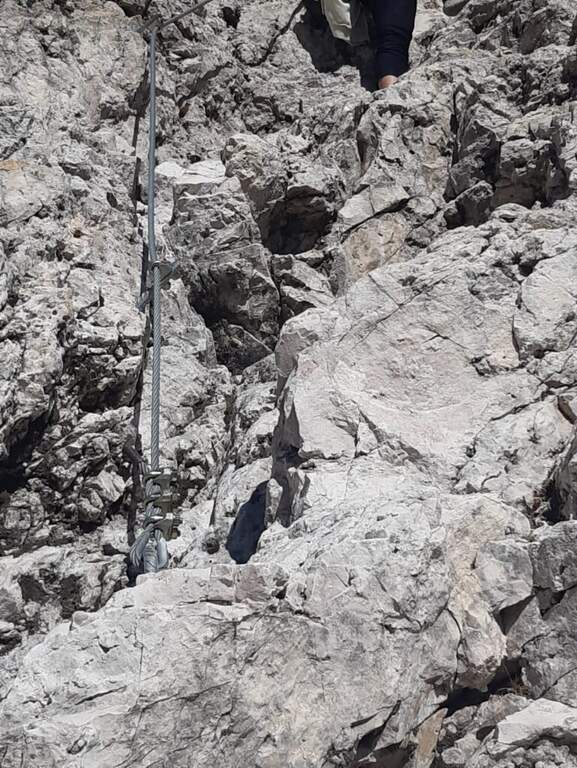
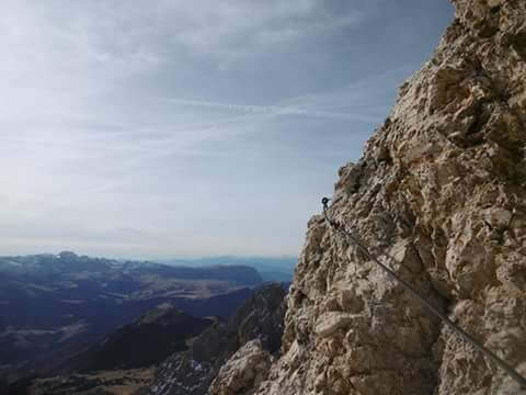
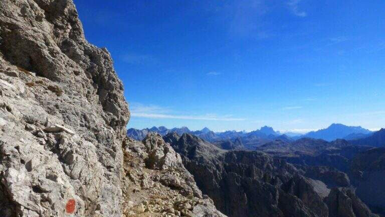
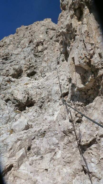
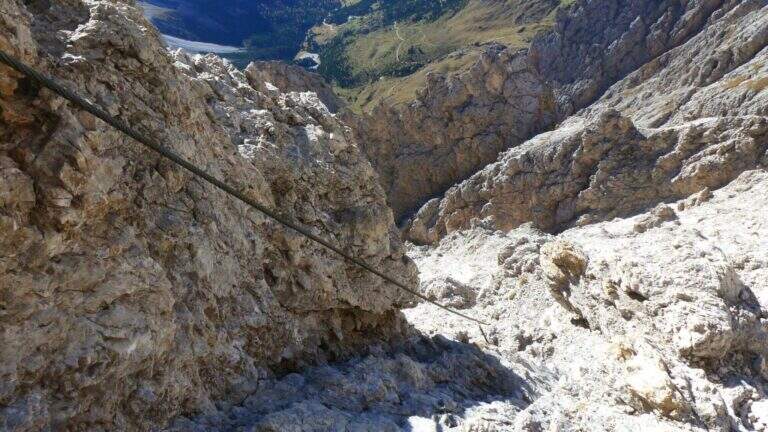
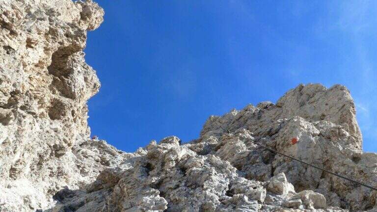
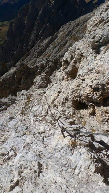
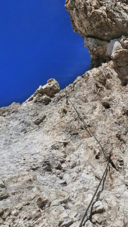
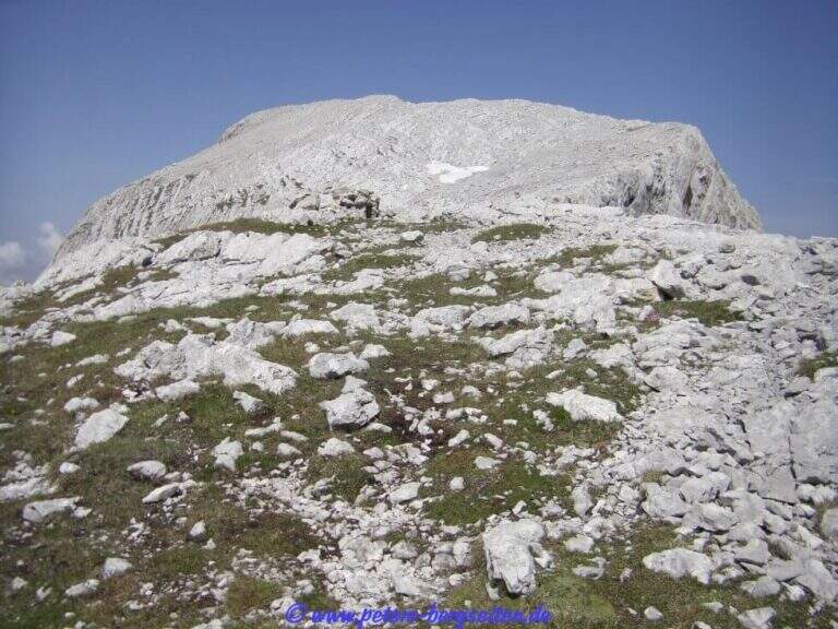
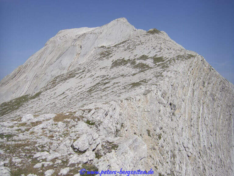
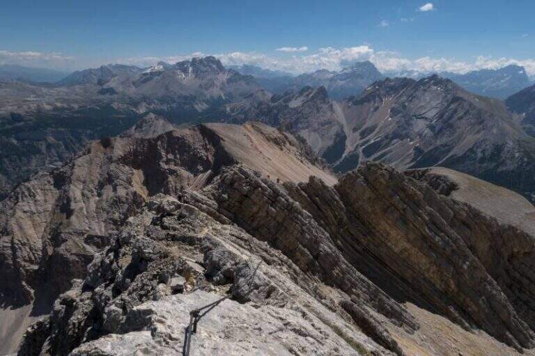
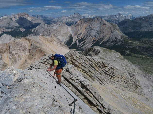
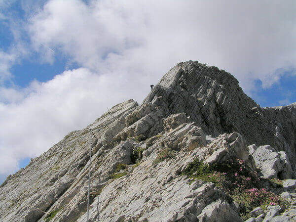
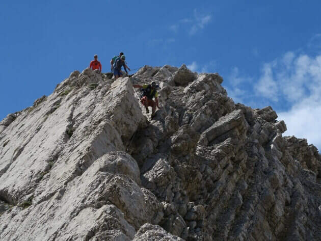
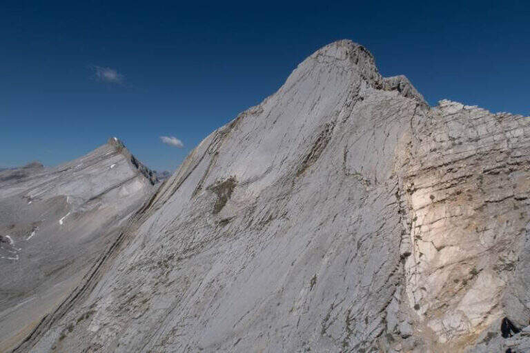
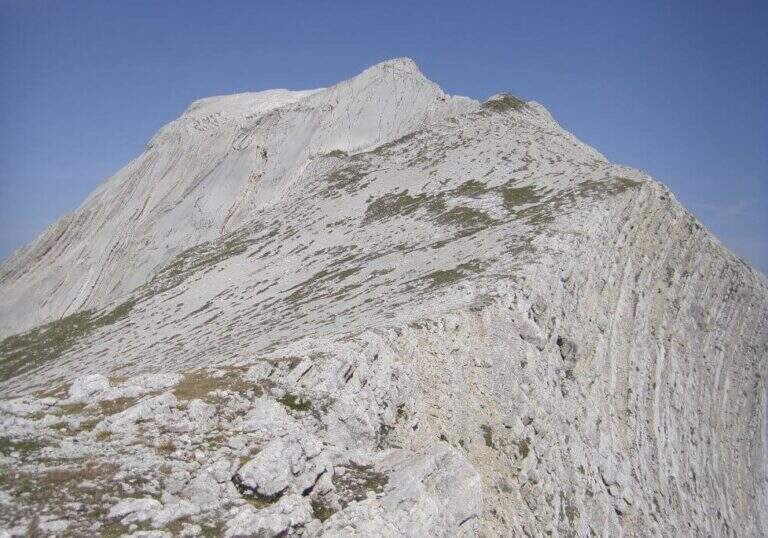
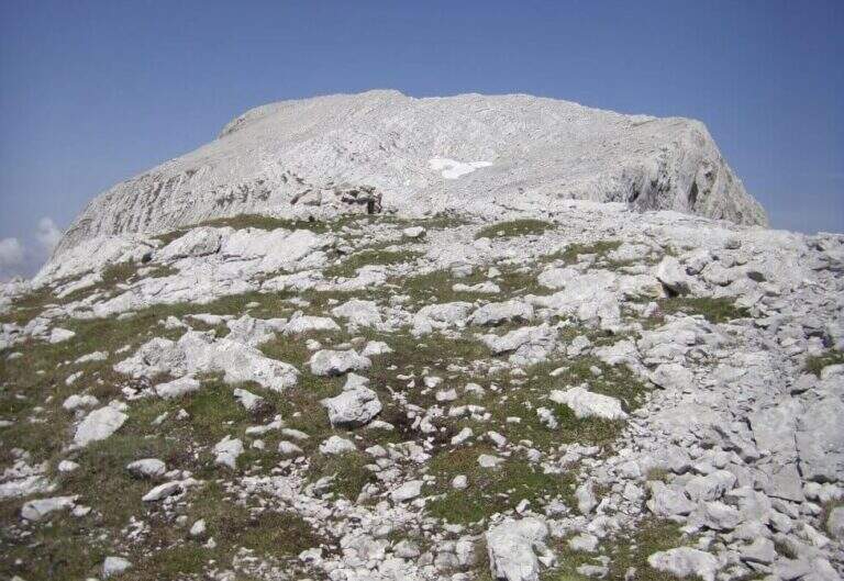
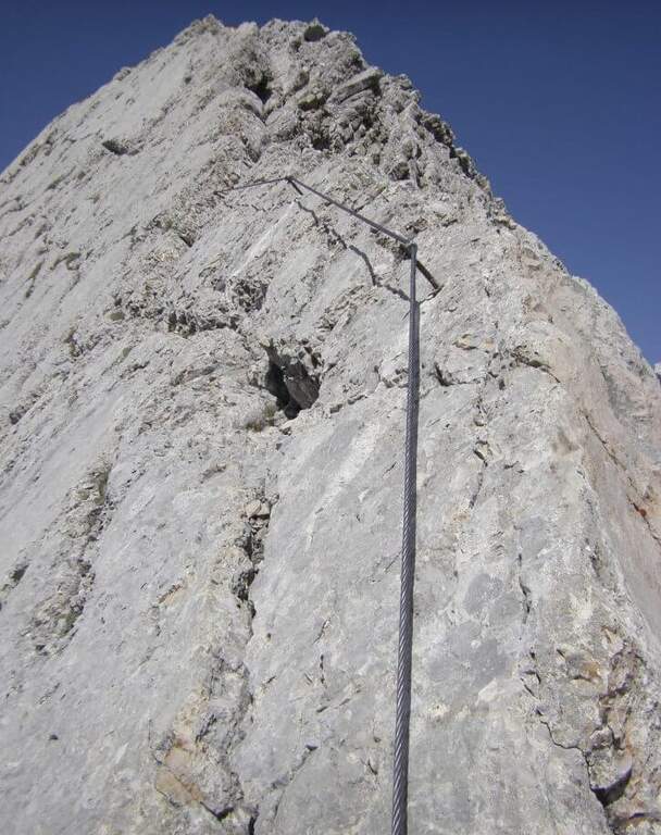
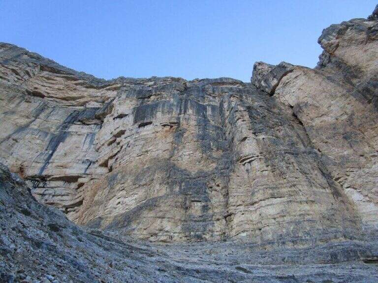
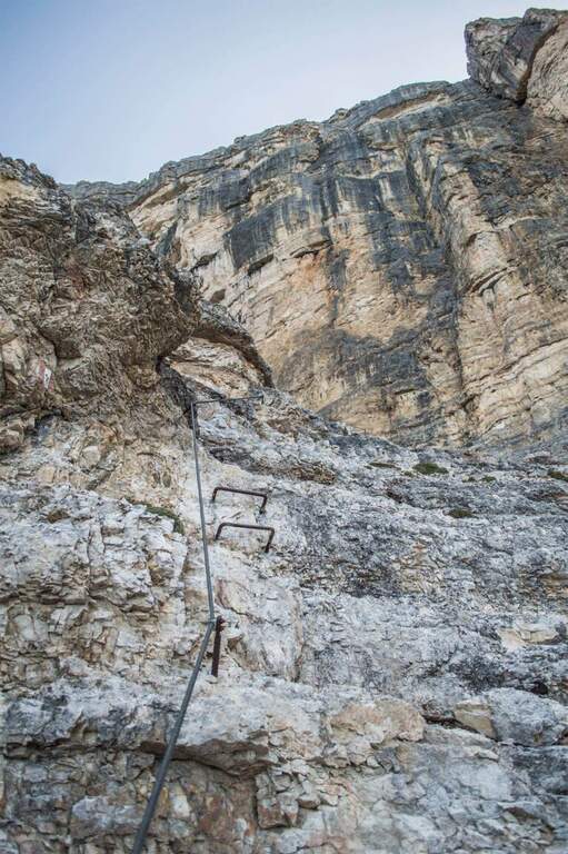
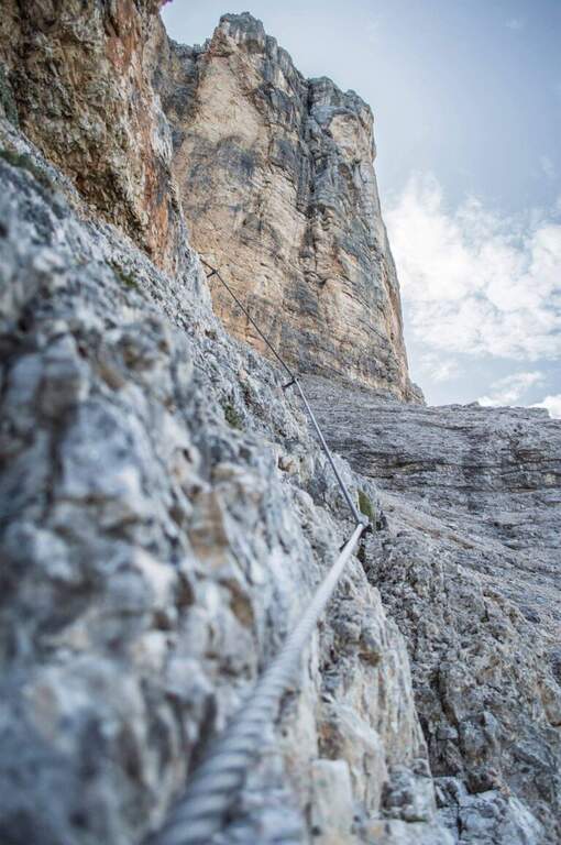
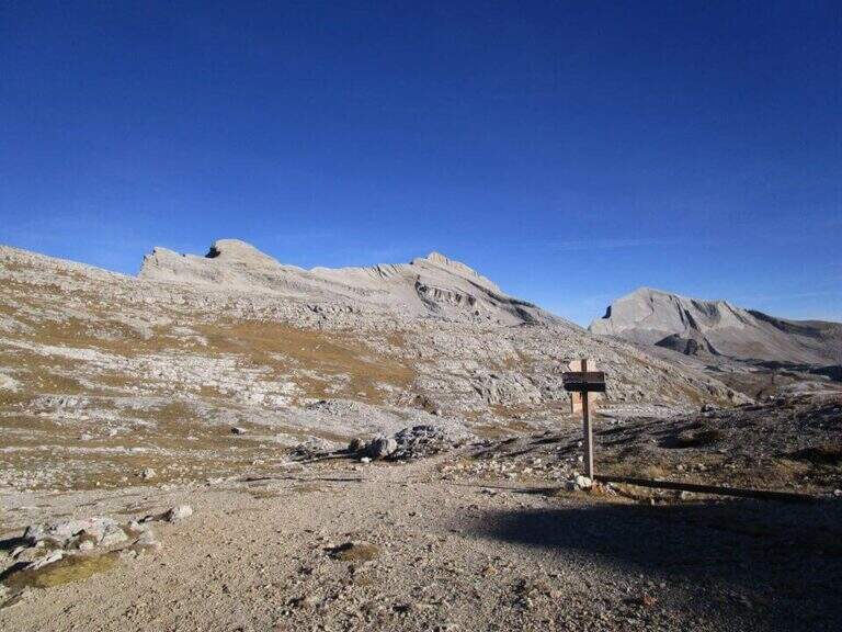
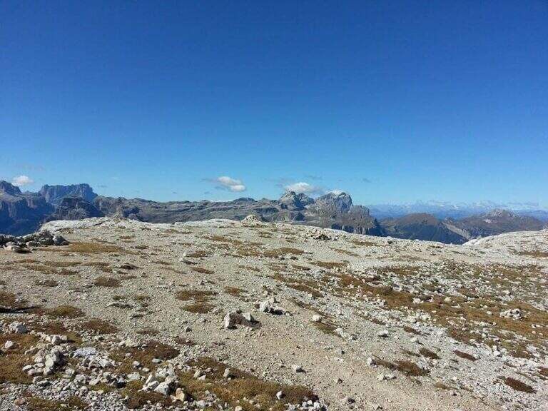
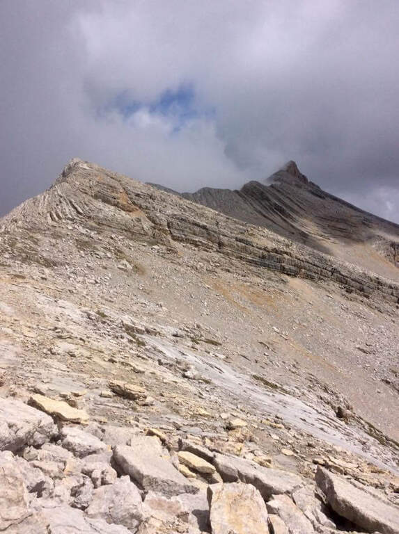
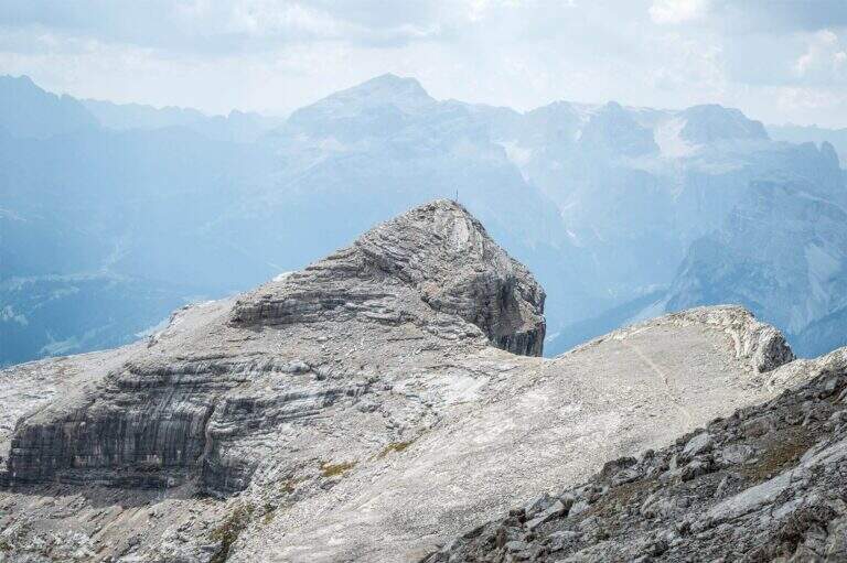
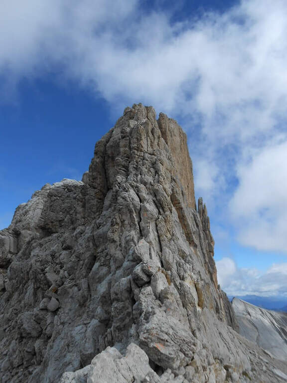
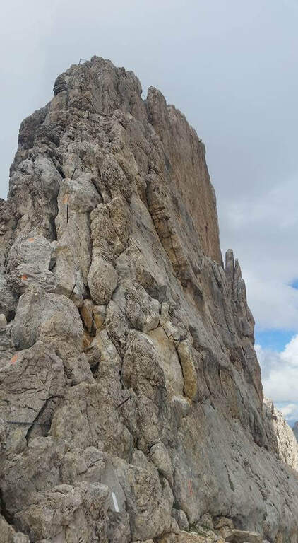
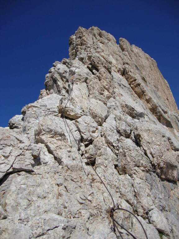
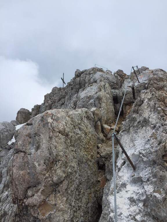
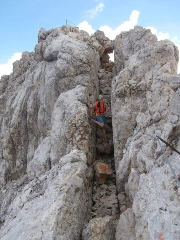
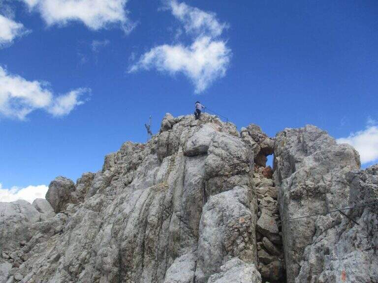
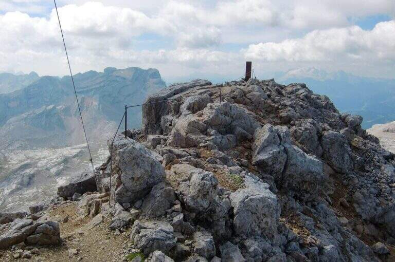
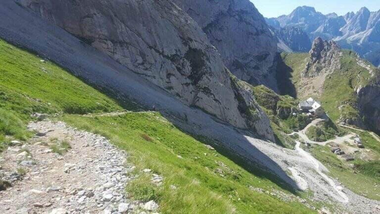
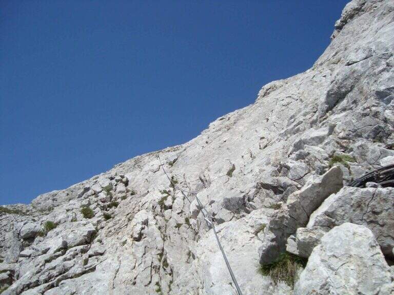
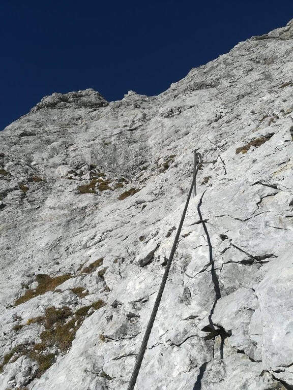
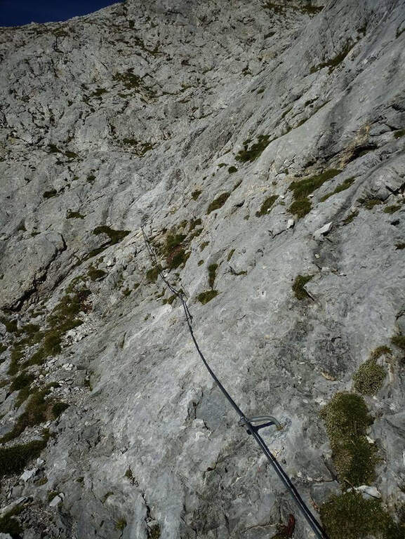
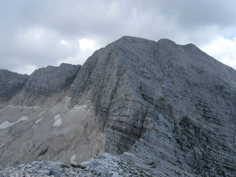
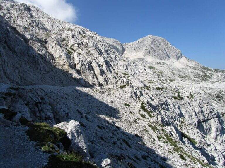
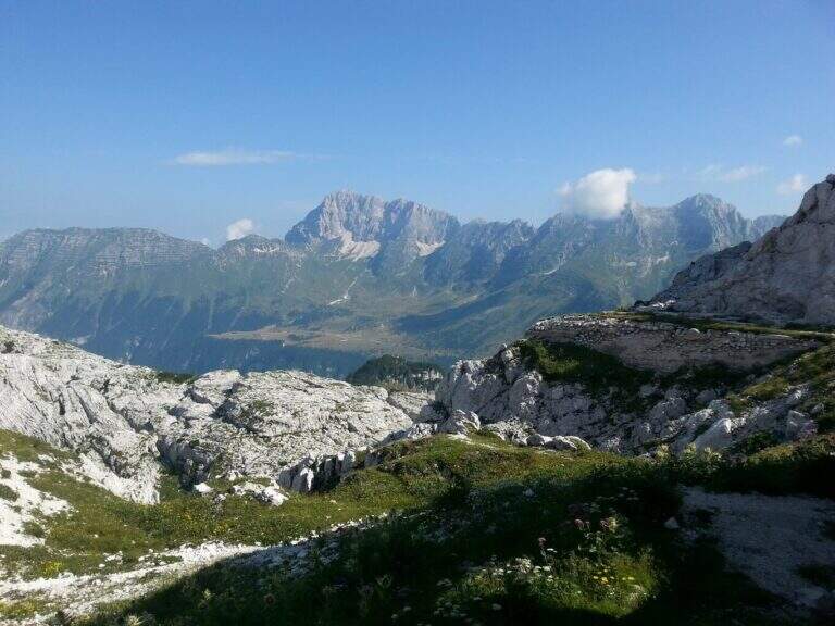
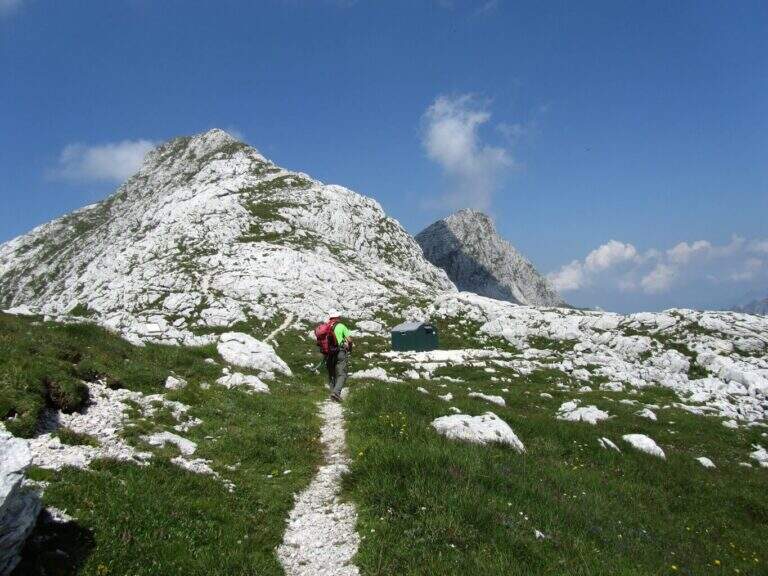
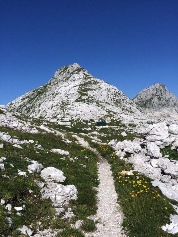
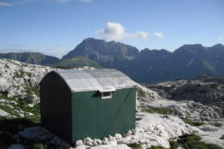
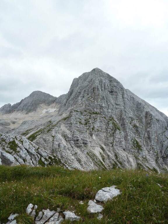
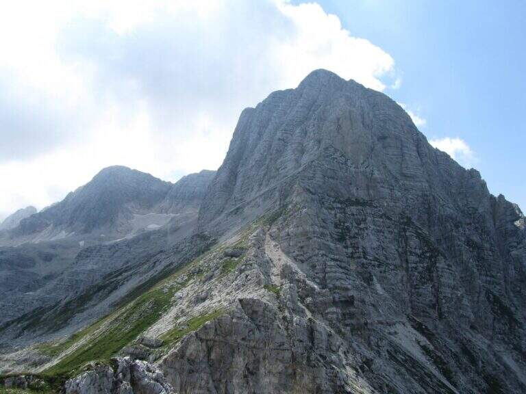
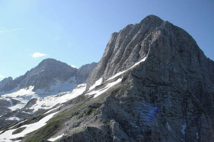
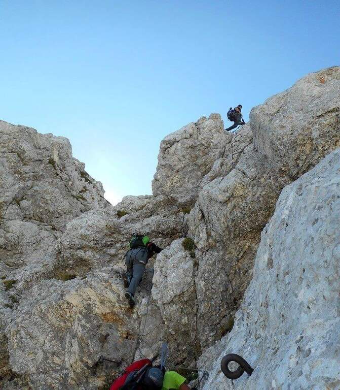
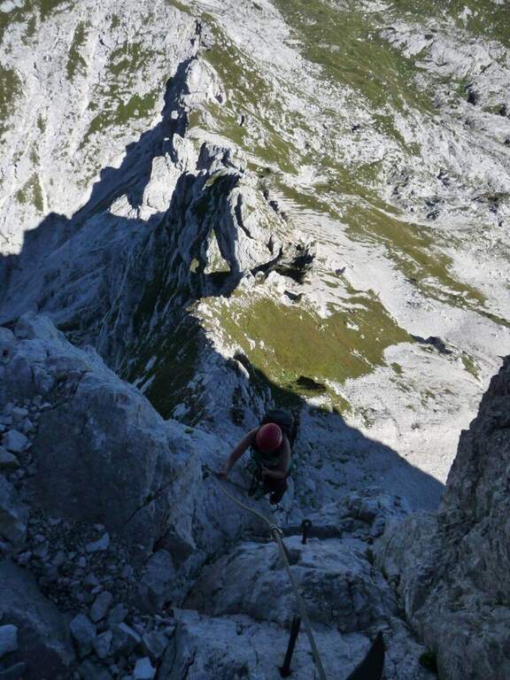
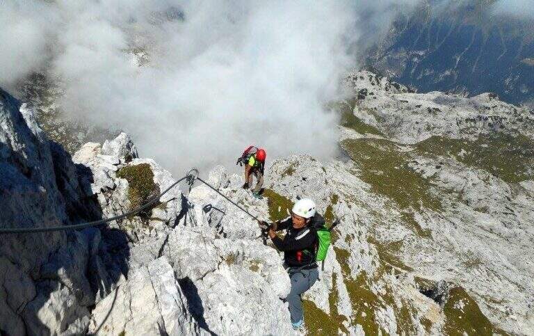
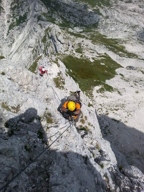
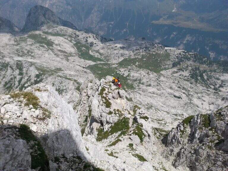
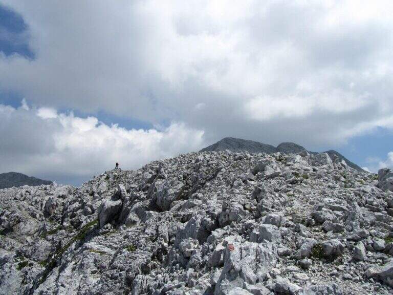
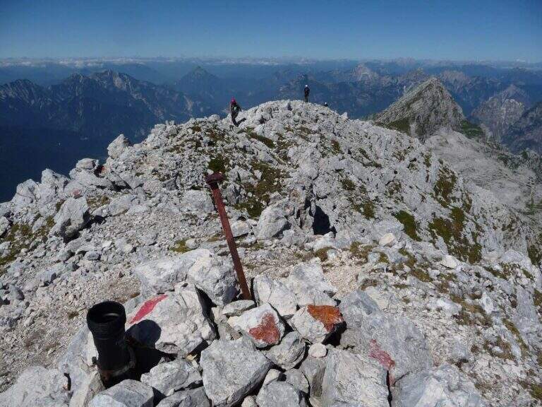
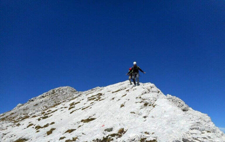
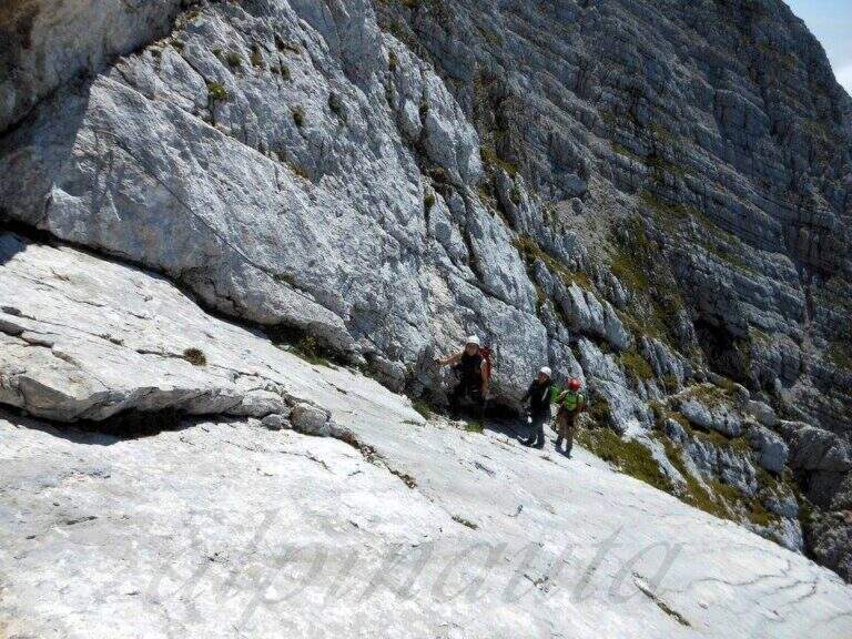
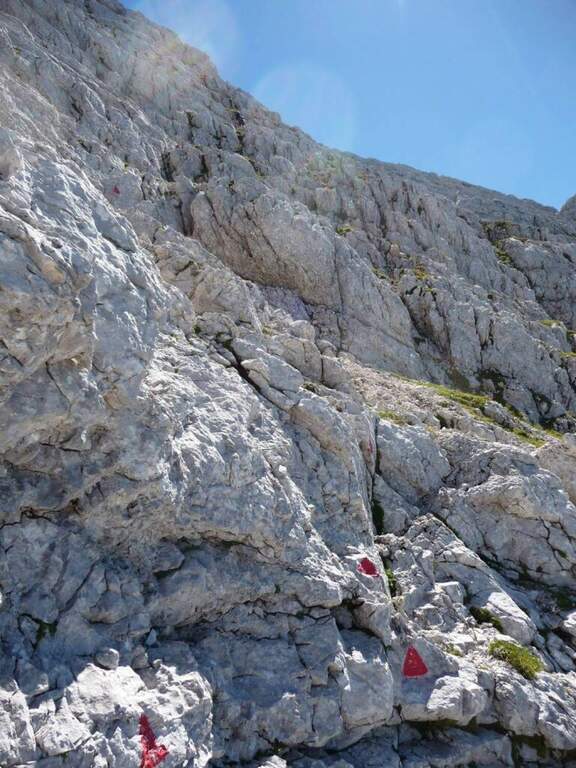
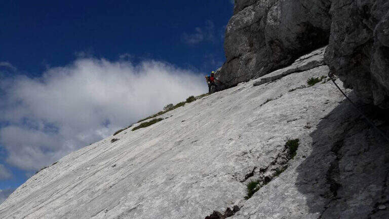
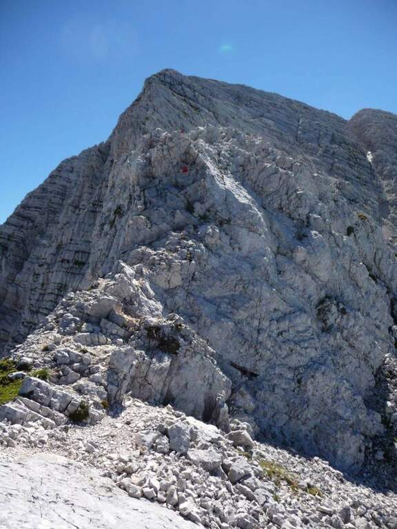
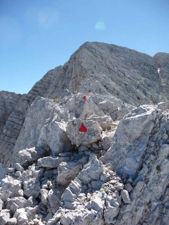
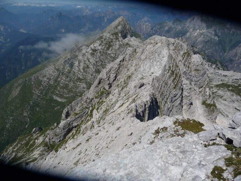
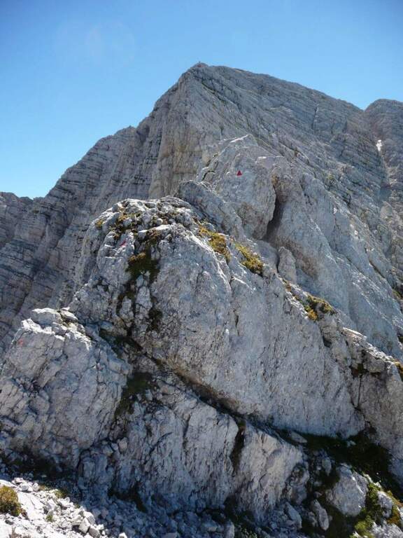
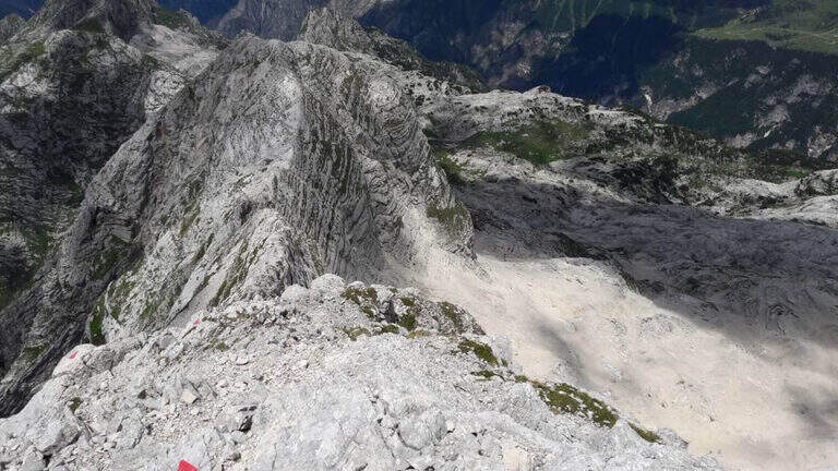
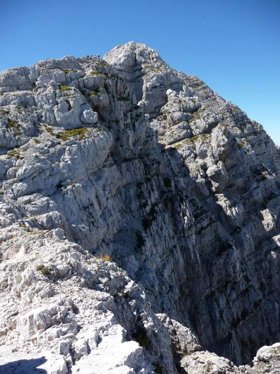
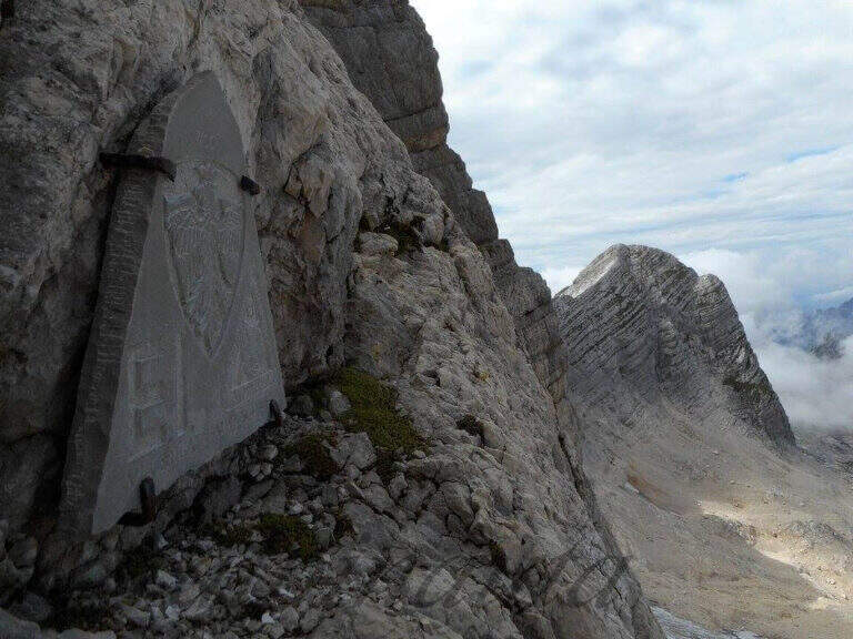
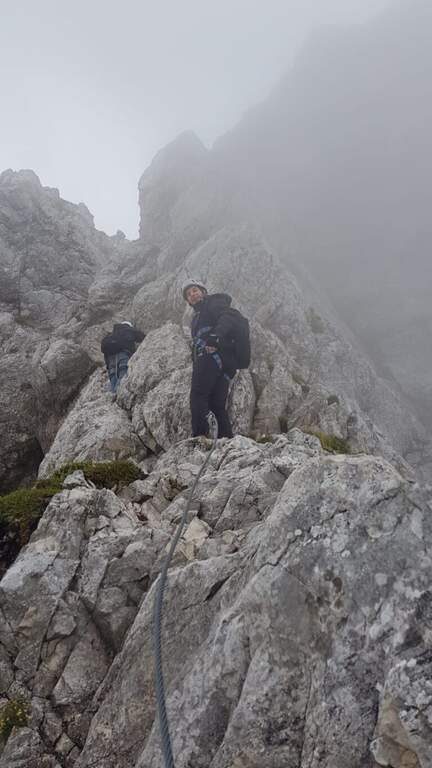
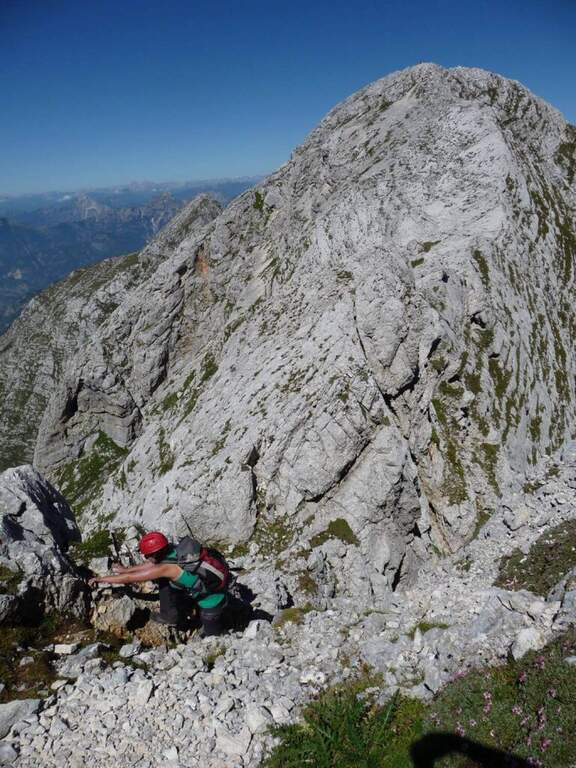
    The Path Attrezzato Leva walks through the scenic hint between the Cima di Terrarossa and the Forca dei Disteis on the slopes of the Jof di Montasio. Itinerary of medium difficulty with exposed and unprotected traits that require safe passage: ideal to be inserted in a more days on the Montasio plateau.

    ▲Approach

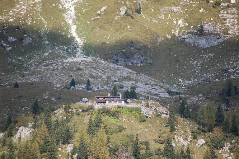
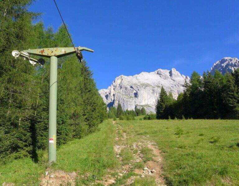
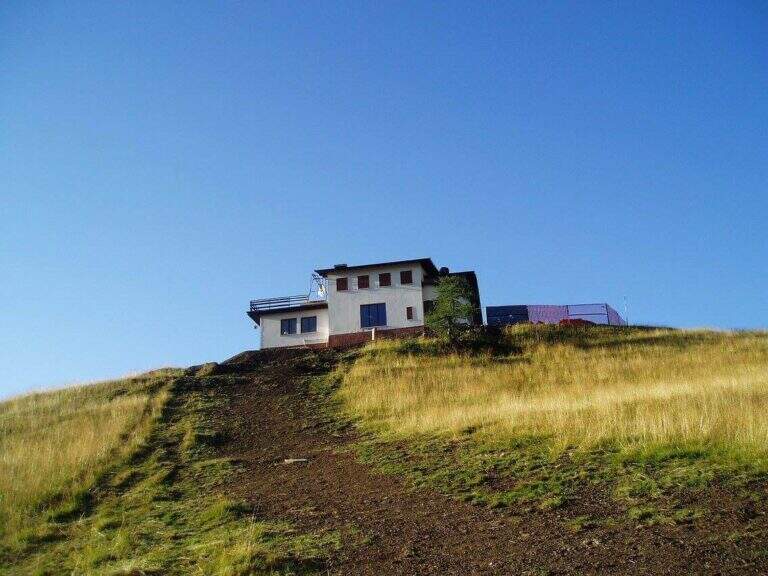
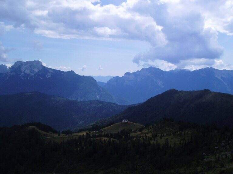
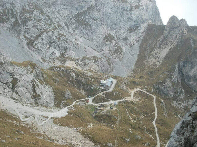
    You reach Chiusaforte on the A23 (exit Carnia Tolmezzo) and continue east for 20 Km until Sella Nevea. From a hairpin bend follow the brown sign for Altopiano del Montasio until the end of the road, where there is a large parking (directions road map). The proposed route passes through the Rifugio Brazza and the Cima di Terrarossa; it does not include the climb to the Jof di Montasio (that is the Ferrata Amalia).

    ▲The path

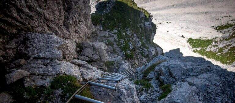
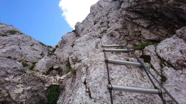
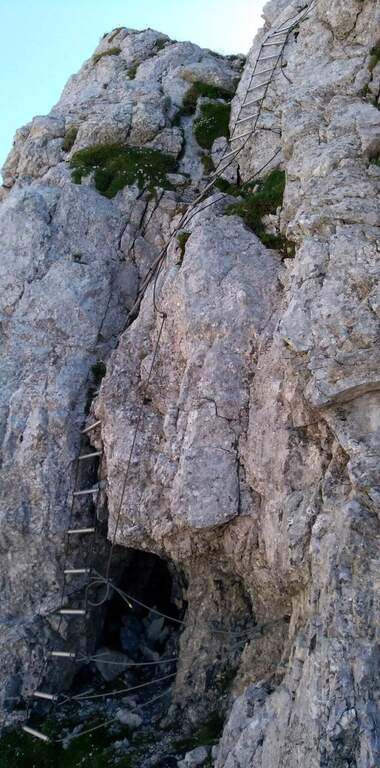
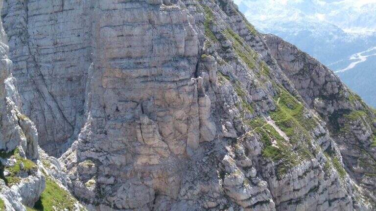
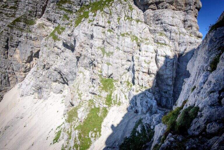
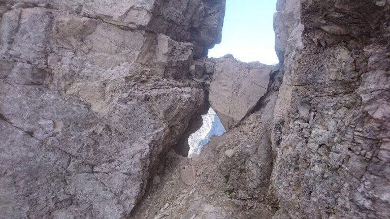
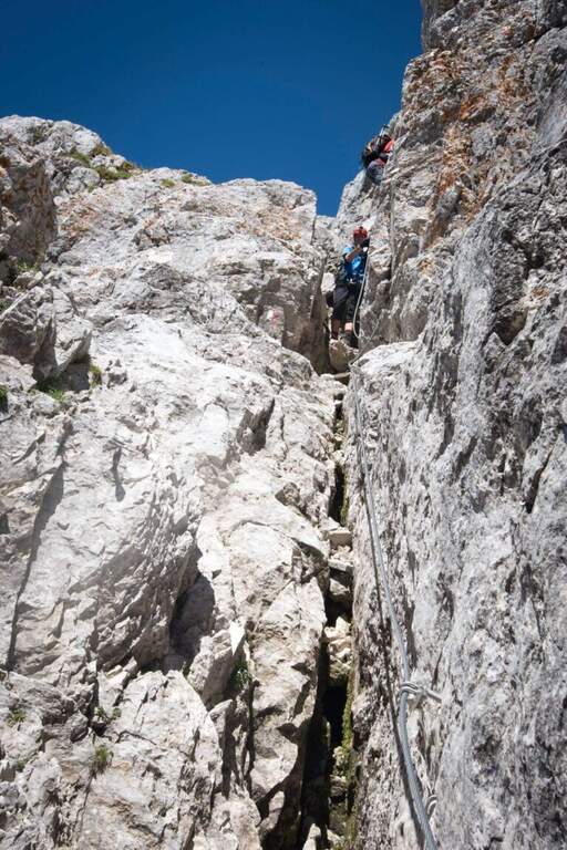
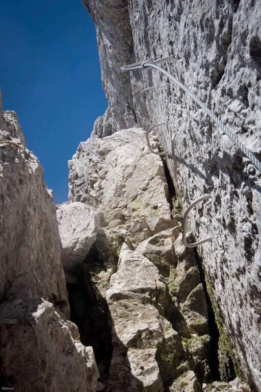
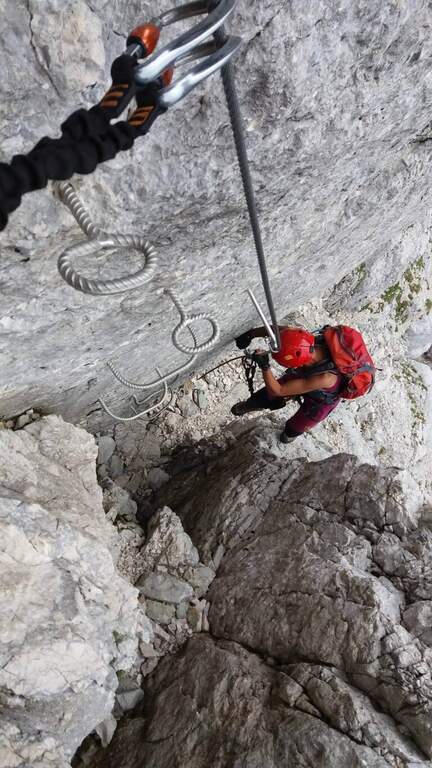
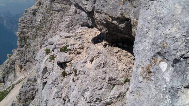
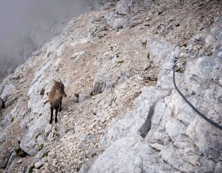
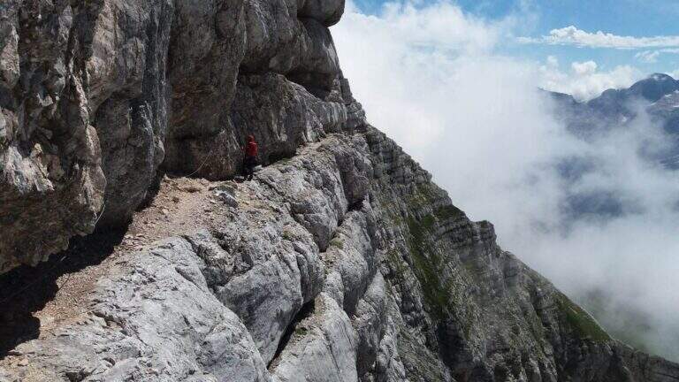
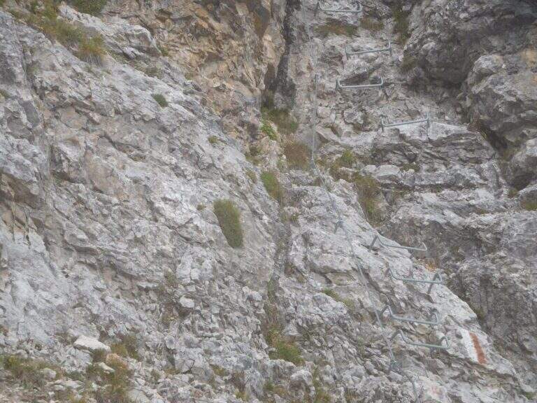
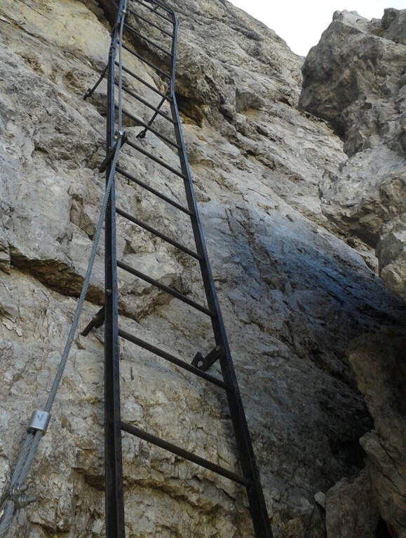
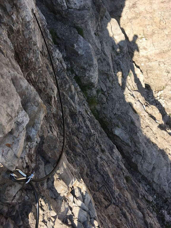
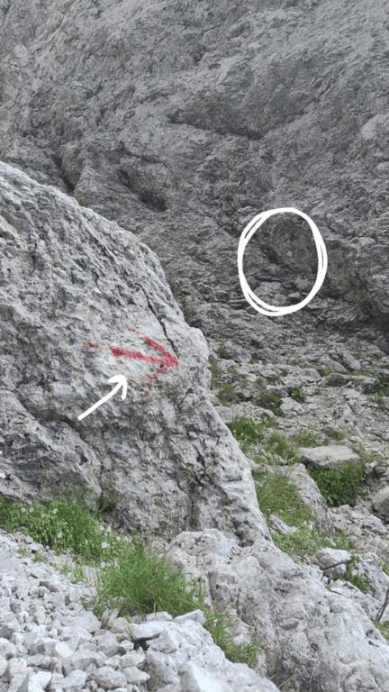
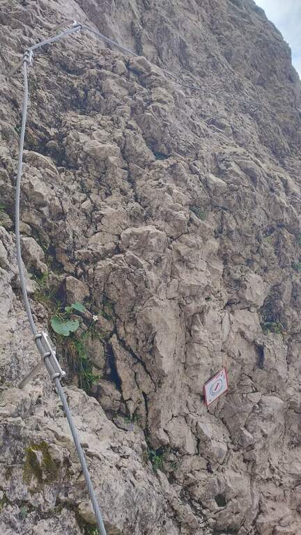
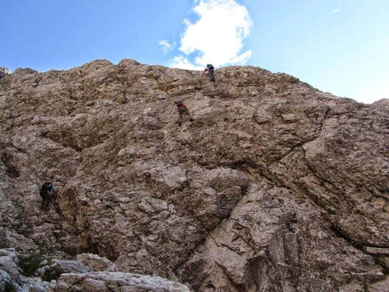
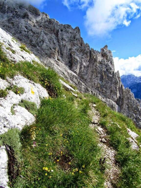
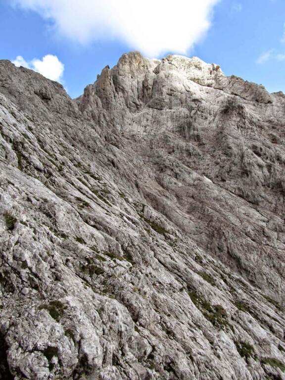
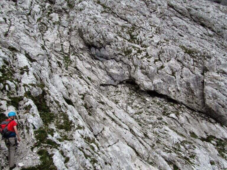
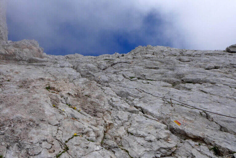
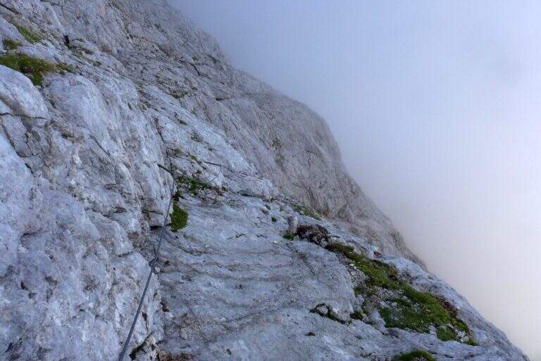
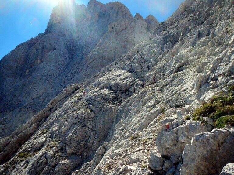
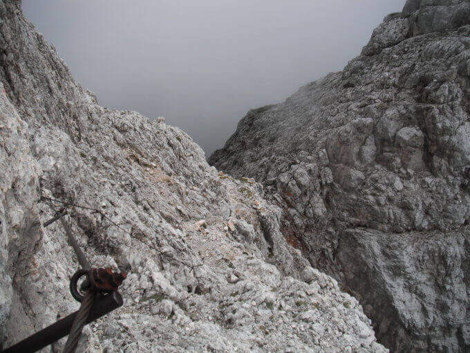
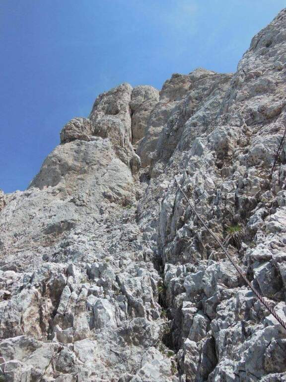
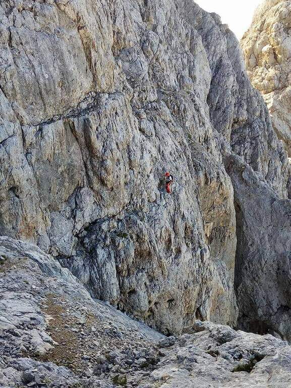
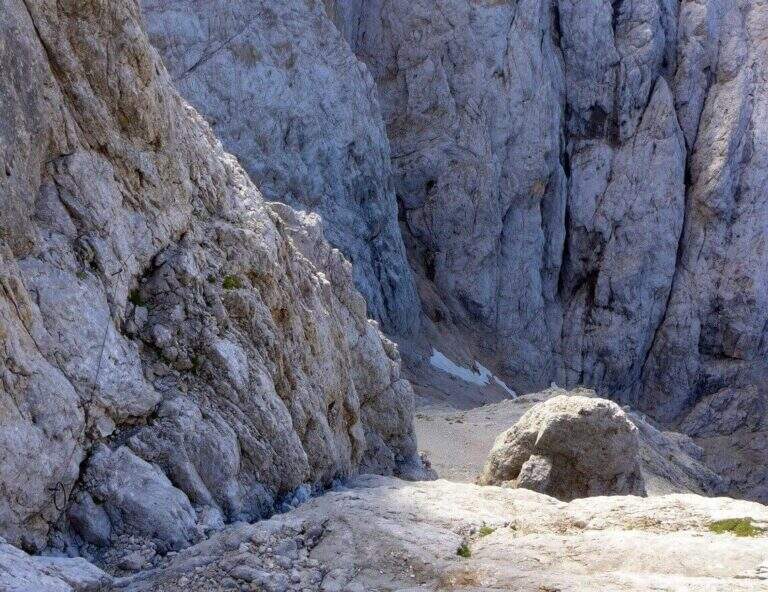
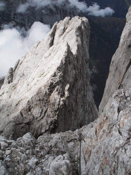
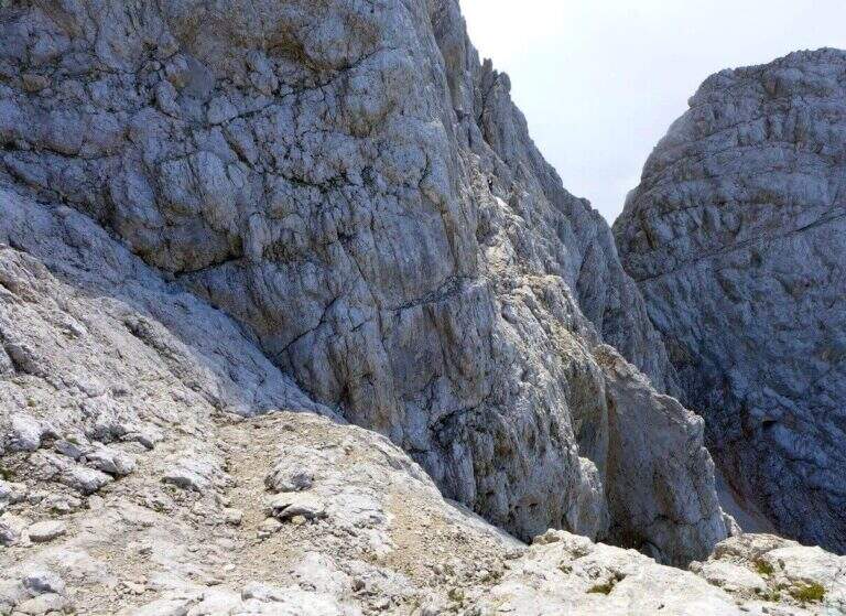
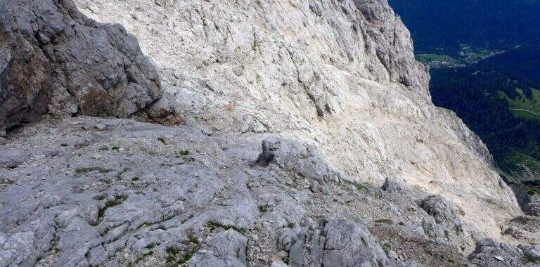
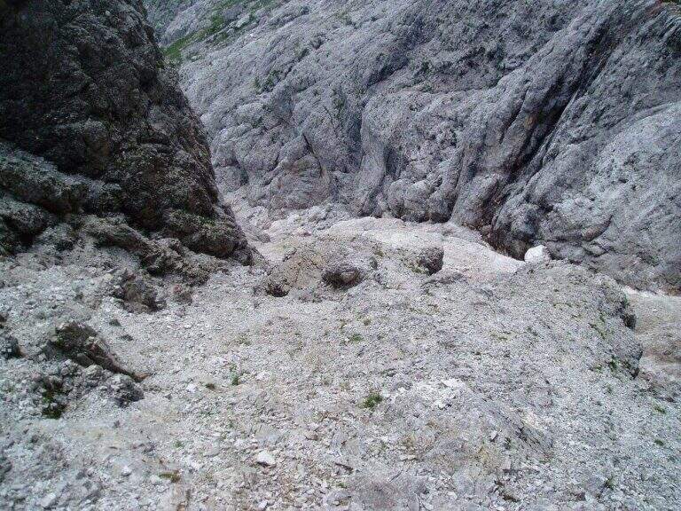
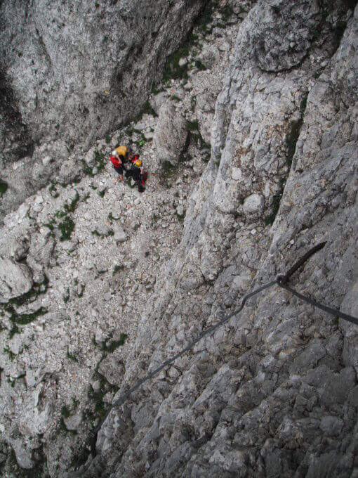
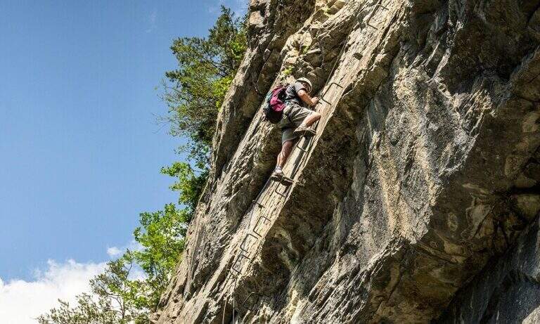
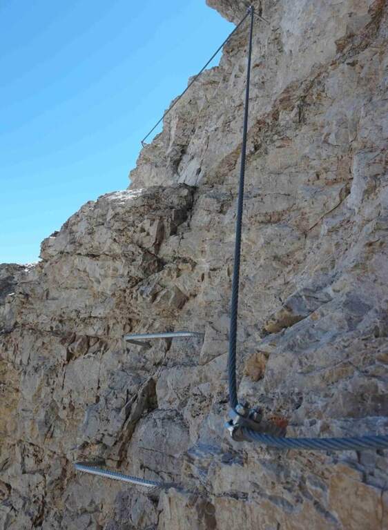
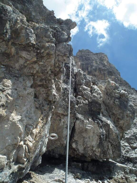
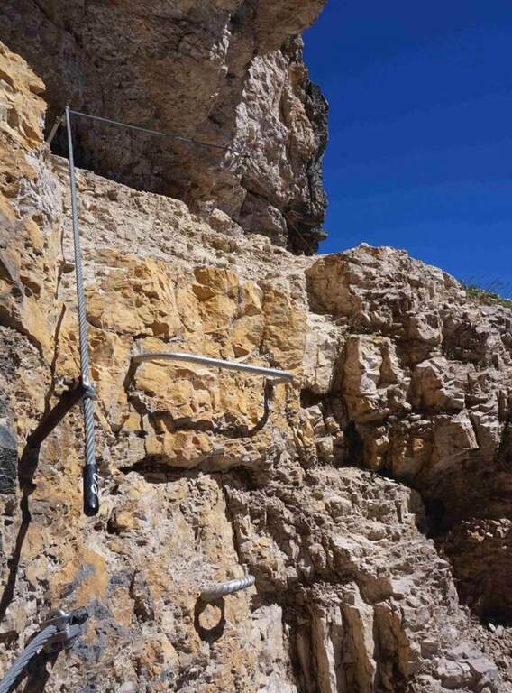
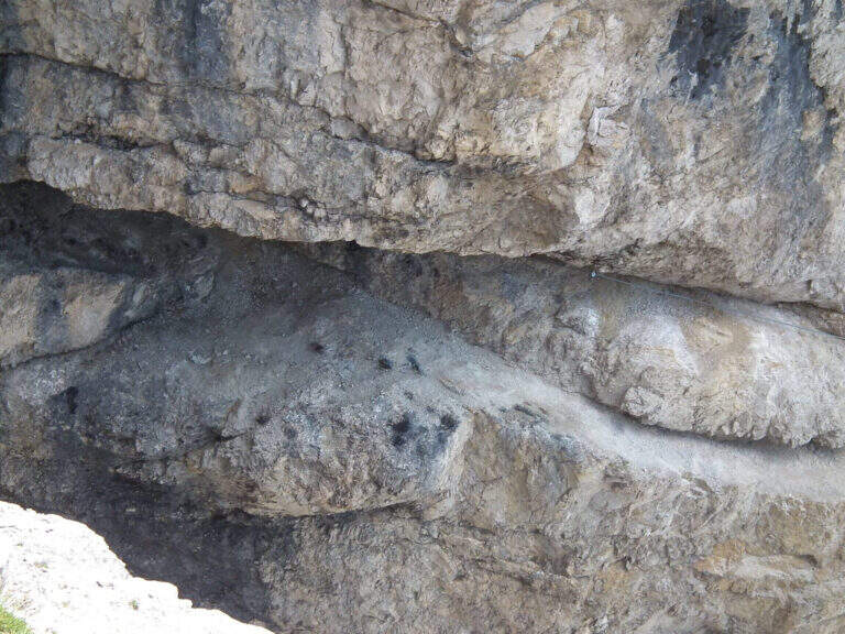
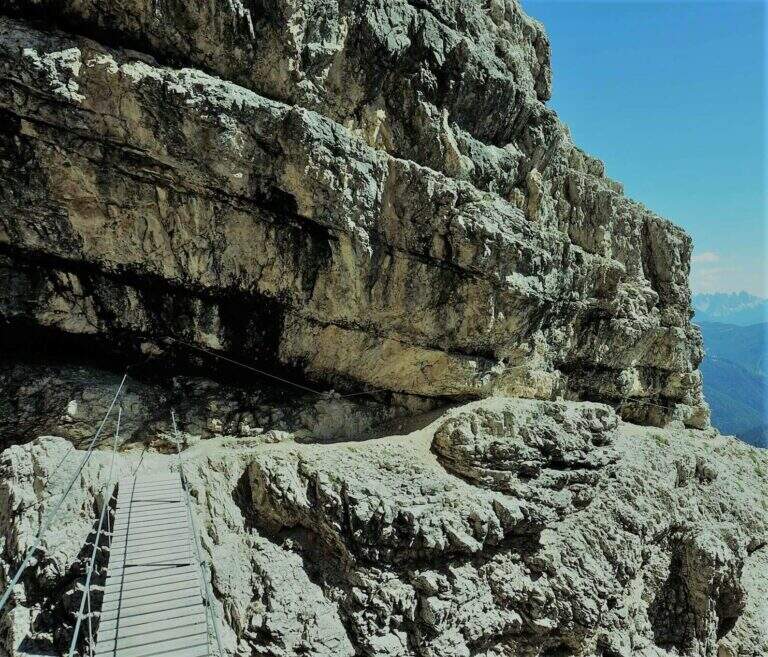
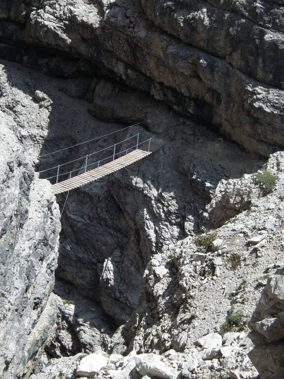
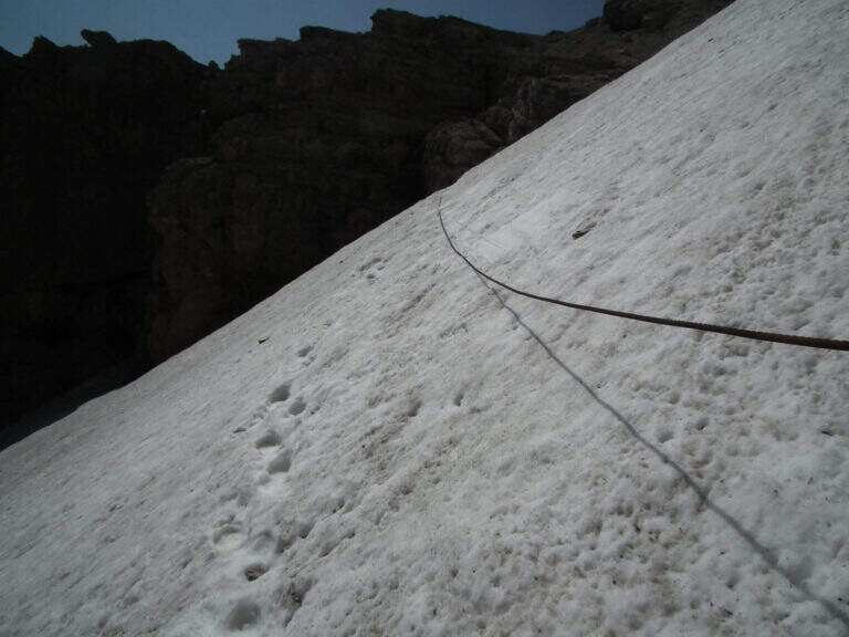
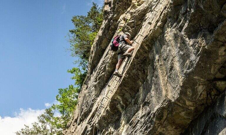
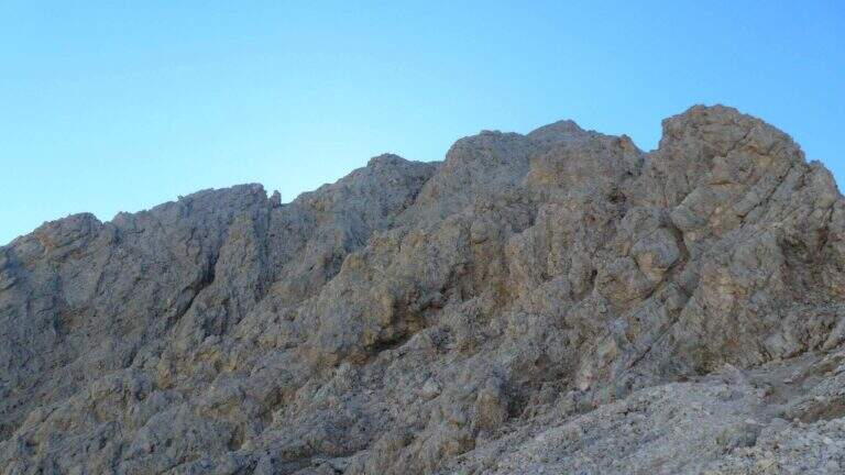
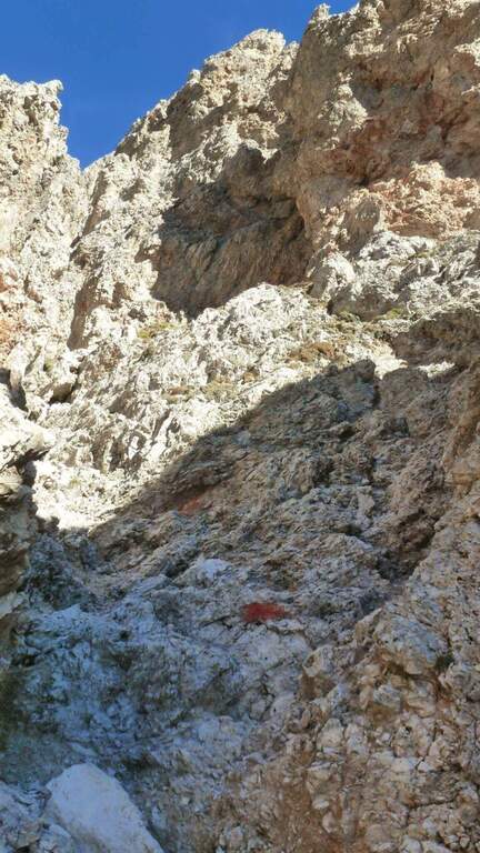
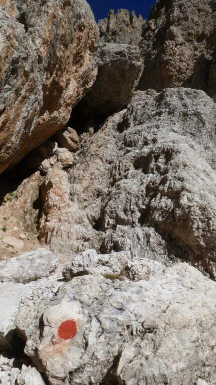
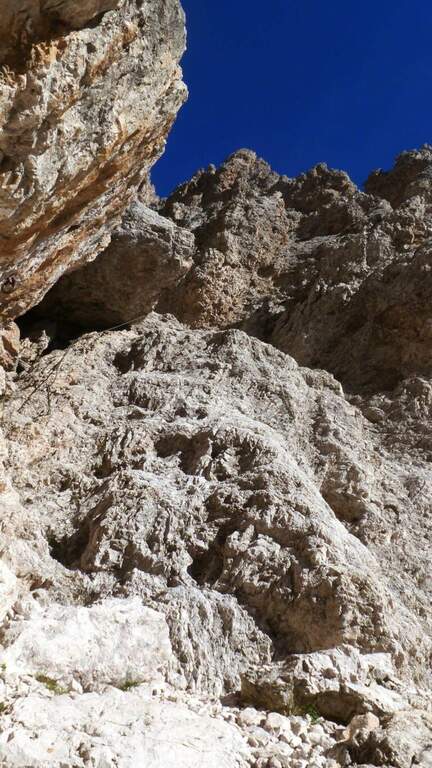
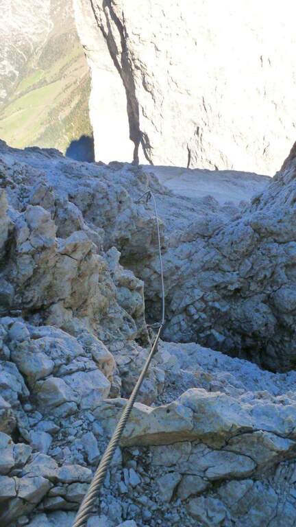
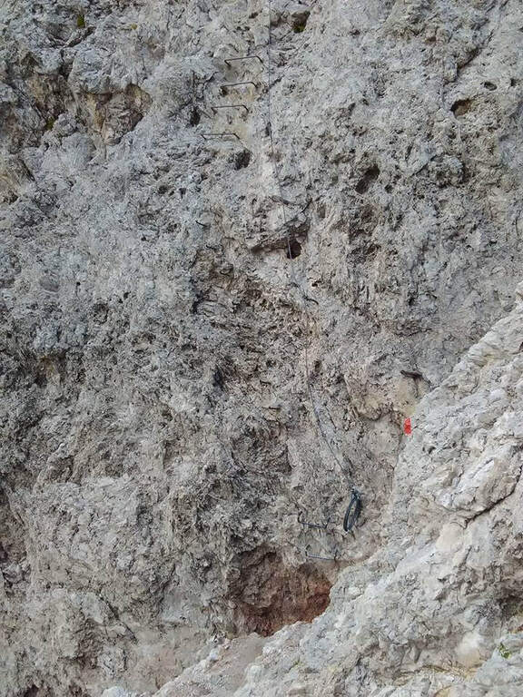
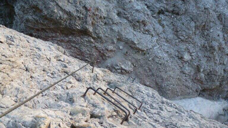
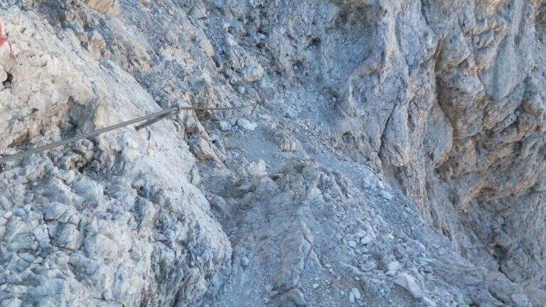
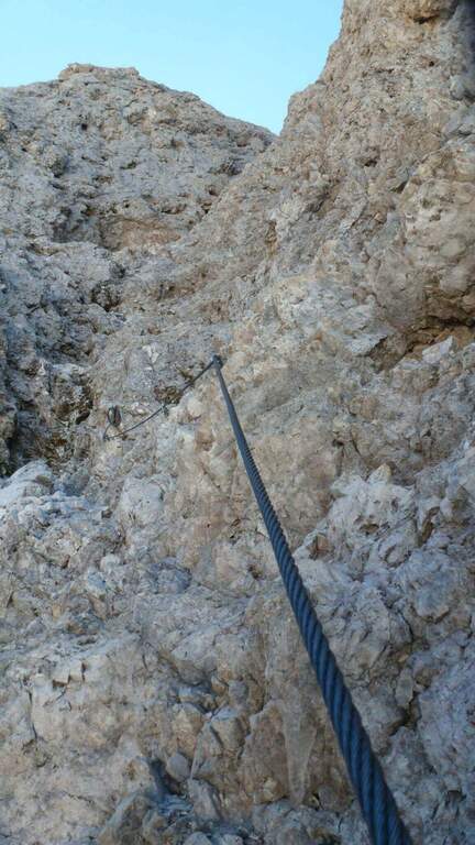
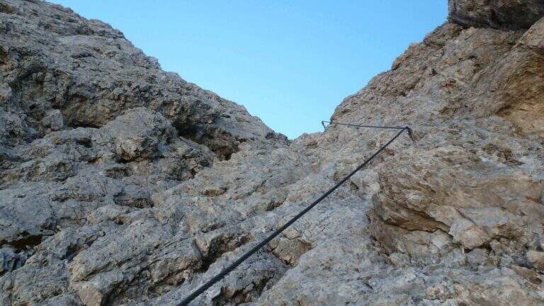
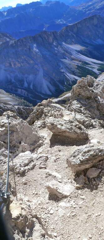
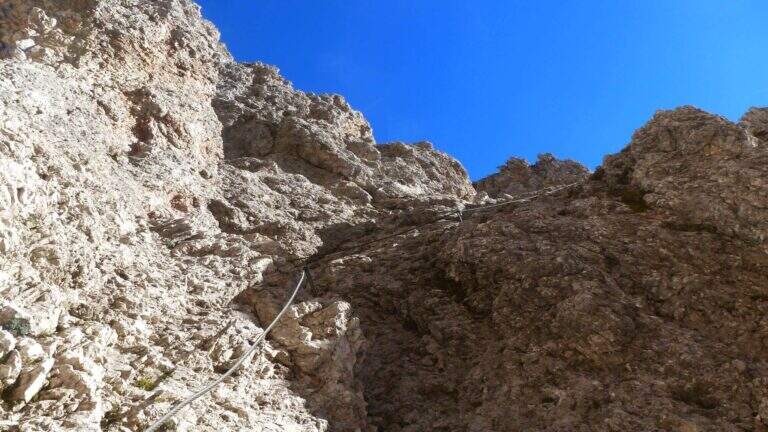
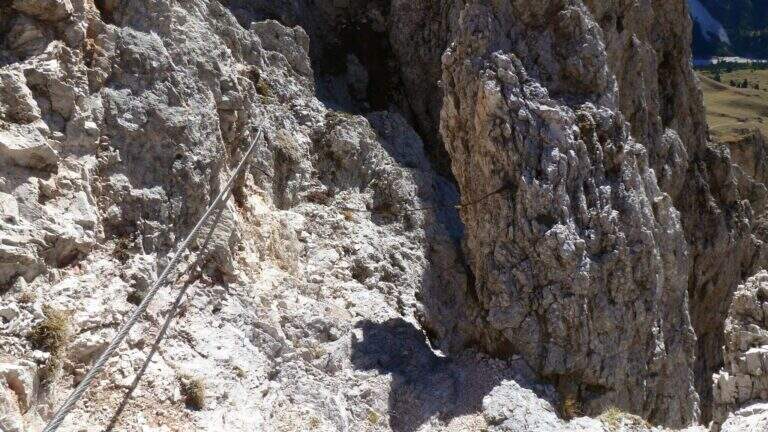
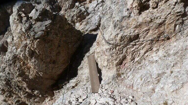
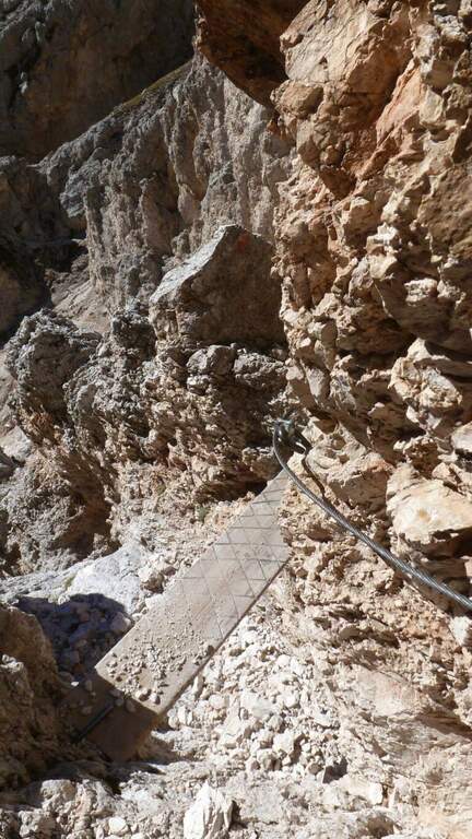
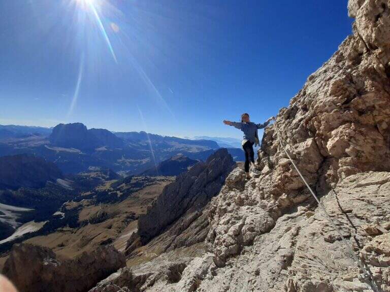
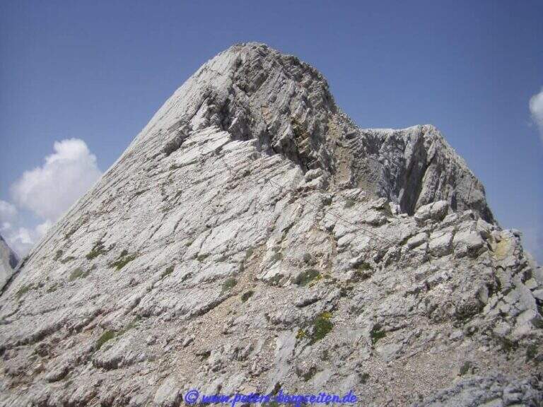
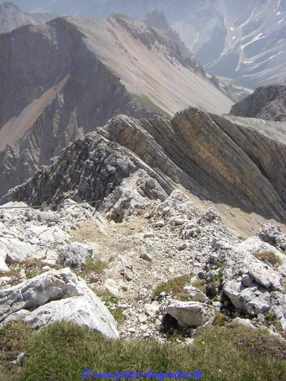
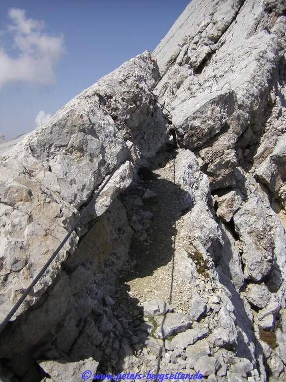
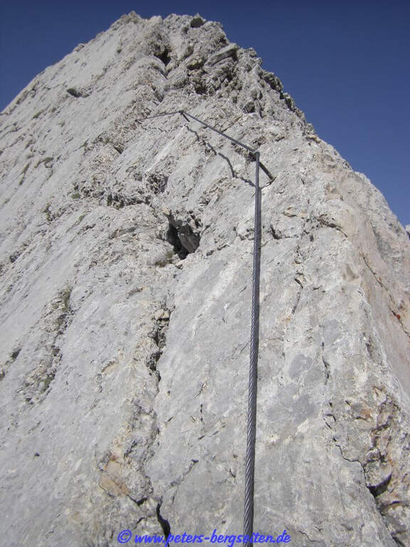
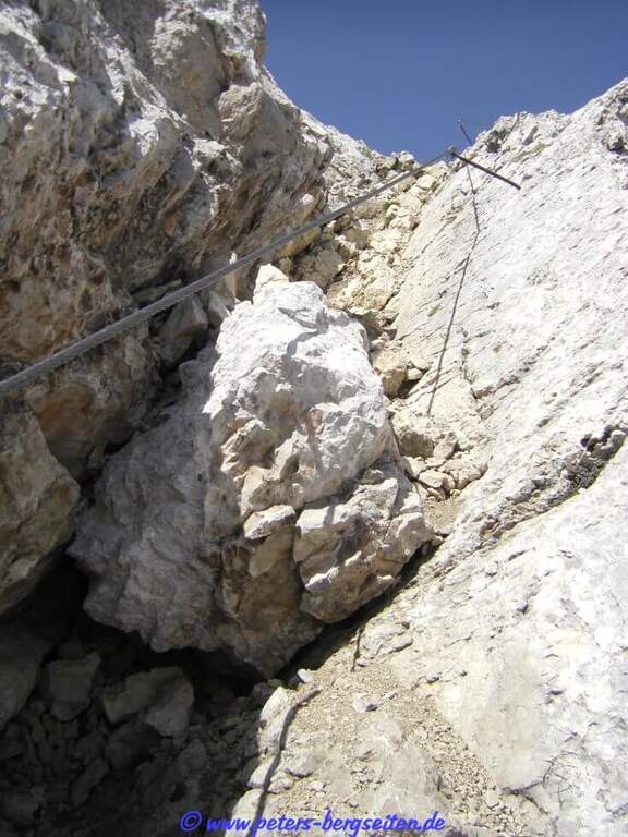
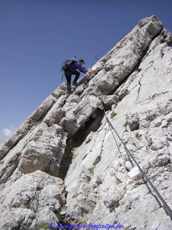
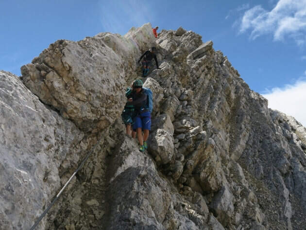
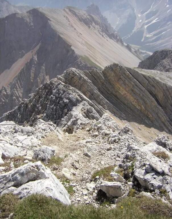
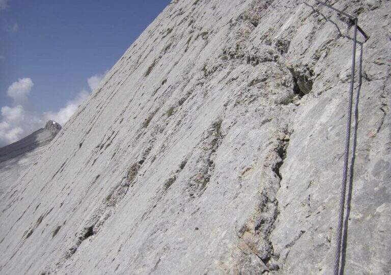
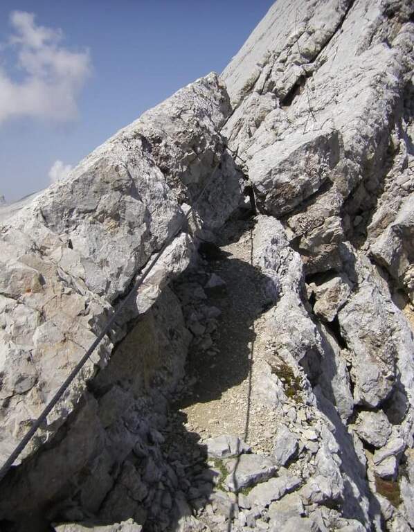
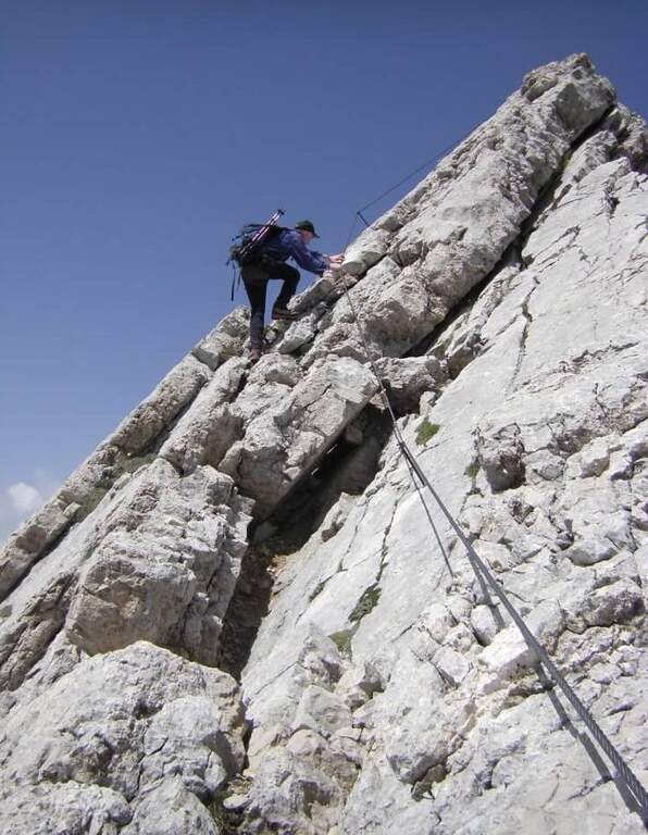
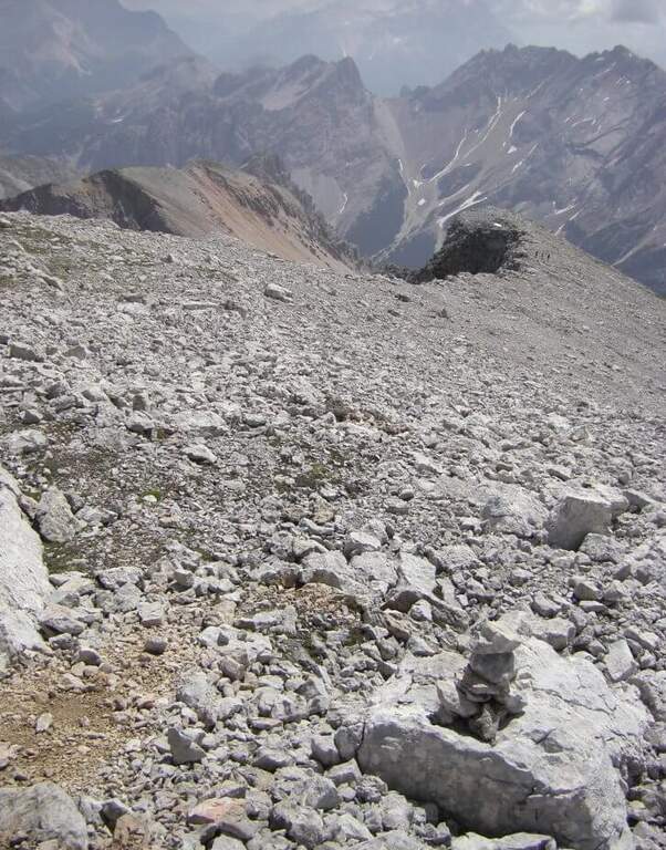
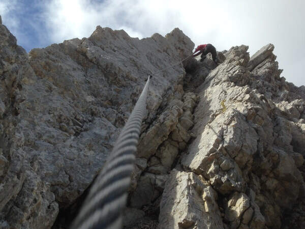
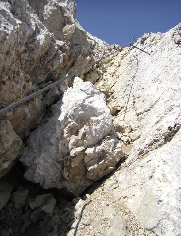
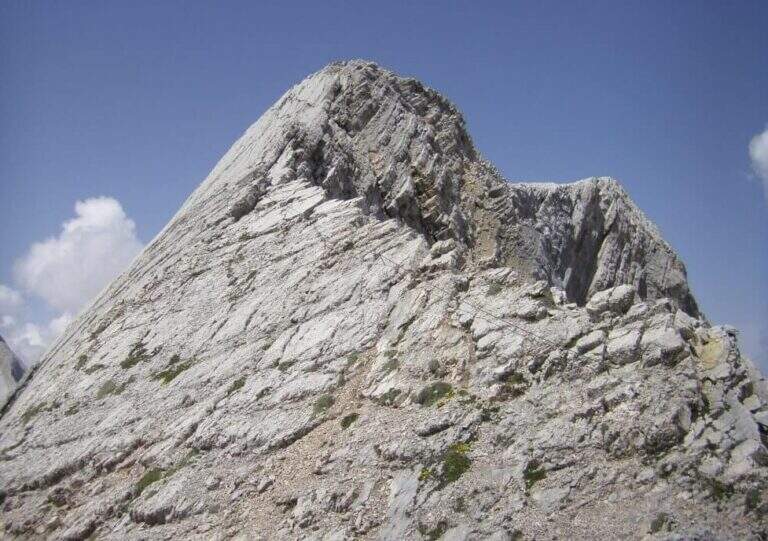
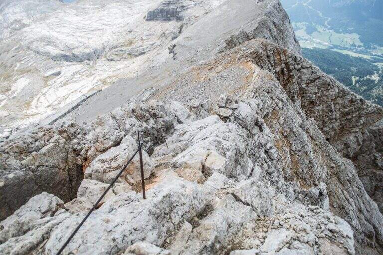
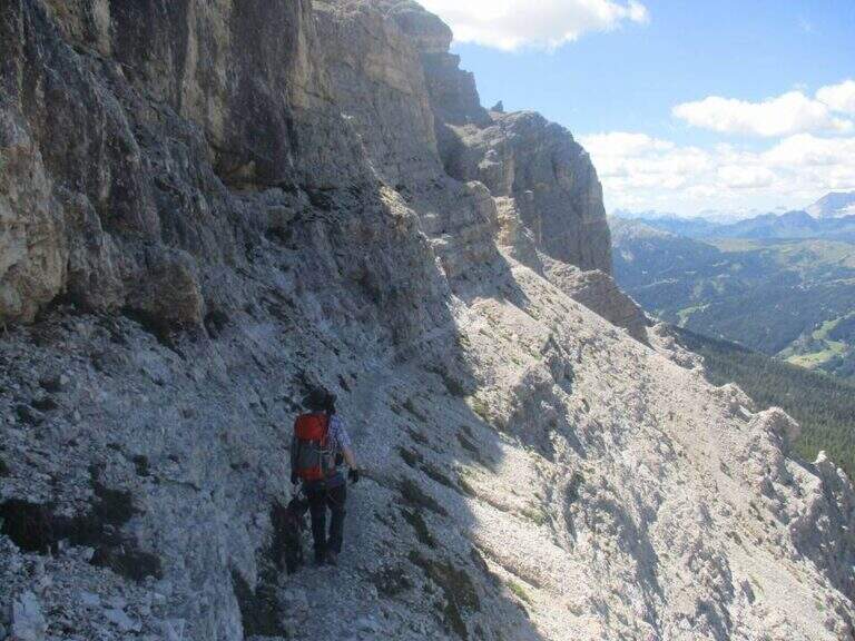
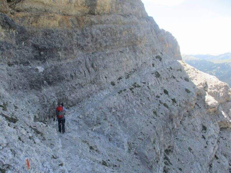
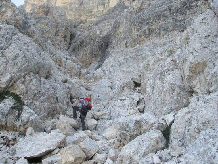
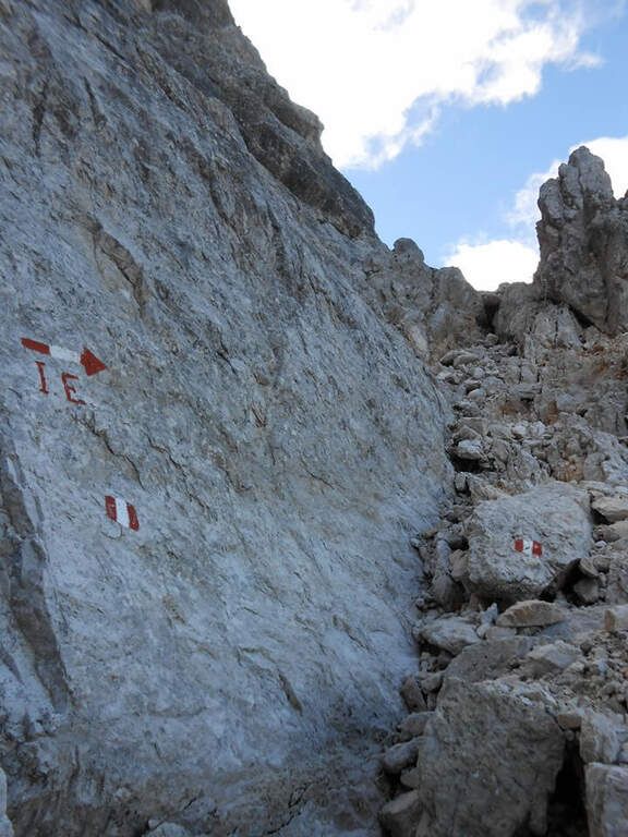
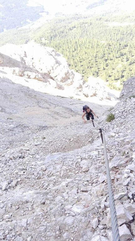
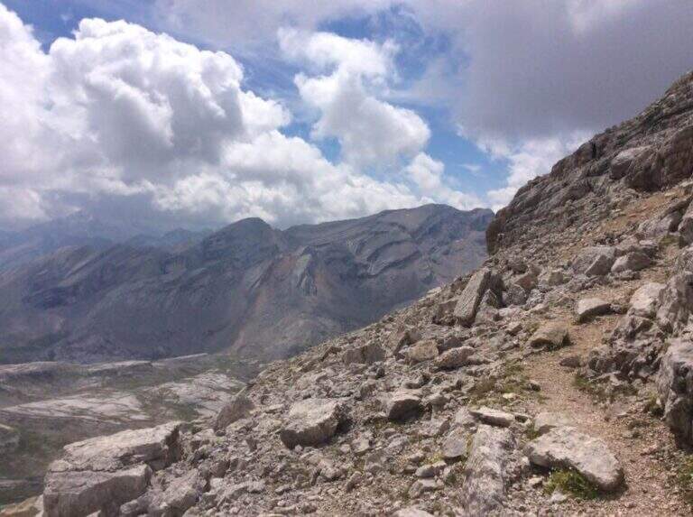
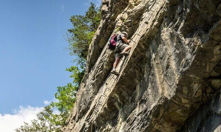
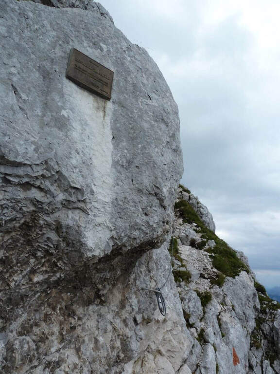
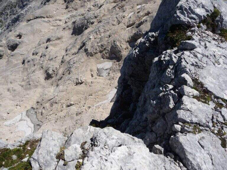
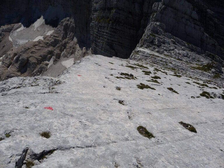
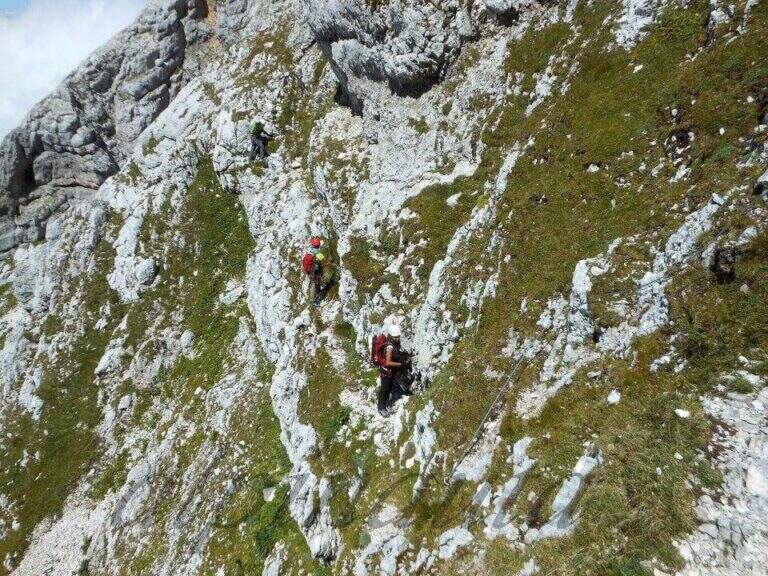
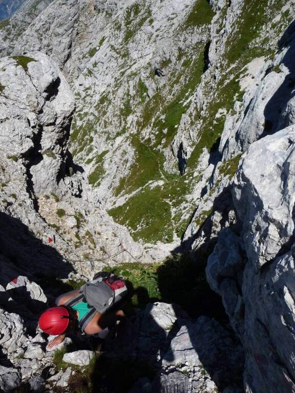
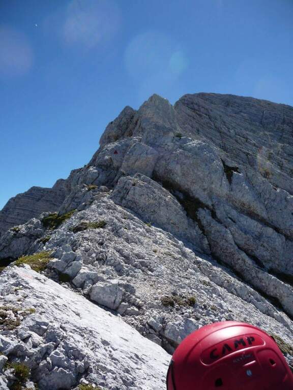
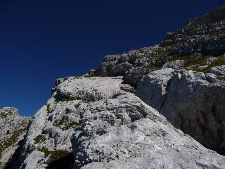
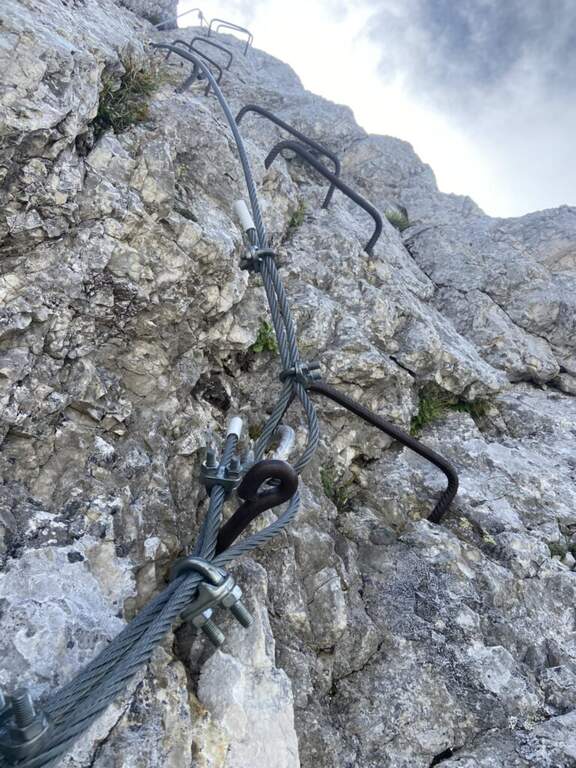
    Take the path from Cima Terrarossa to the west towards Forca dei Disteis. From the top you descend towards the Forca del Pallone (2242 m) facing a characteristic metal staircase leaning on the rock — it requires attention. Then take the equipped nod that wanders the west wall of the Cima Terrarossa: the stretch is exposed for long stretches and not always protected by cables. After passing the Forca del Pallone, the route resumes on the opposite side of the gorge and climbs back to the Forca dei Disteis. The most vertical stretches are located near the Forca, where the most challenging climb of the entire route takes place.

    ▲Character and difficulty

    Classified Moderately Difficult. The equipped traits are contained but the unprotected passages on exposed census represent the real challenge: they require concentration and stability even with heavy backpack. Complexity: technique 2/5, physics 3/5, exposure 3/5, environment 3/5.

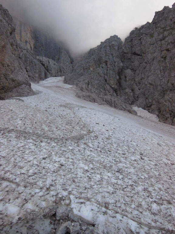
    ⚠ The Montasio plateau can preserve snow until late June. Check the conditions with the Rifugio Brazza before leaving.
    ▲Period and safety

    From July to September. High mountain with unstable weather: start early. The route can be reached in both directions but in the direction described (east→west) the more vertical section is going uphill.

    ▲Discipline

    From the Forca dei Disteis you descend to the Rifugio Brazza and then to the starting parking lot along the paths of the Montasio plateau.

    ▲To match

    In the Julian Alps: the Ferrata Goitan at Jof Fuart e la Ferrata Julia at Canin.

    ▲Gallery
    Technical data
    • DifficultyModerately Hard
    • RegionFriuli-Venezia Giulia
    • GroupJulian Alps
    • Approach2:00 h
    • Ferrata1:30 h
    • Itinerary (a/r)5:00 h
    • Hardware level difference178 m
    • Route difference918 m
    • Max2420 m
    • Length9,1 Km
  • Sentiero Attrezzato dell’Ideale – Bocca d’Ambiez

    Sentiero Attrezzato dell'Ideale – Bocca d'Ambiez

    Vie Ferrate › Trentino-Alto Adige › Trento
    Sentiero Attrezzato dell'Ideale – Bocca d'Ambiez
    Moderately Hard● OpenDescriptionComplexityMapsGallery

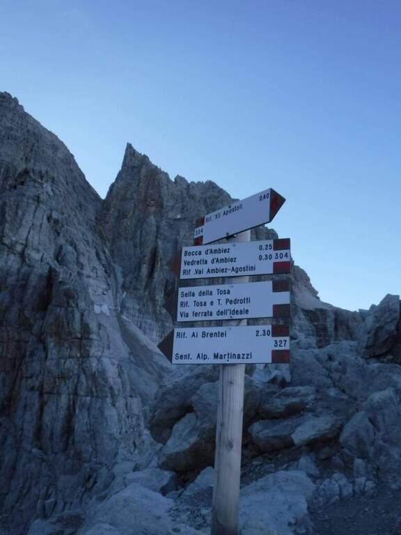
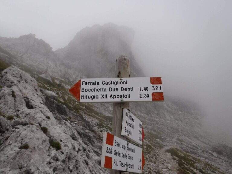
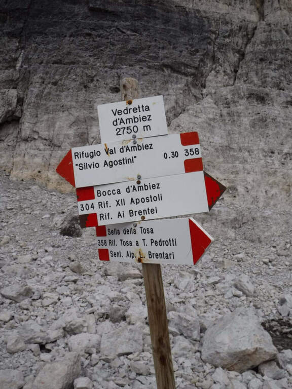
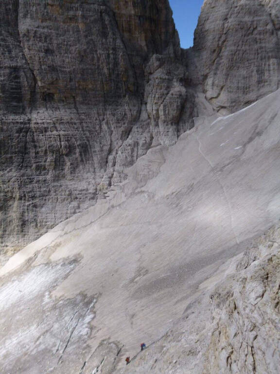
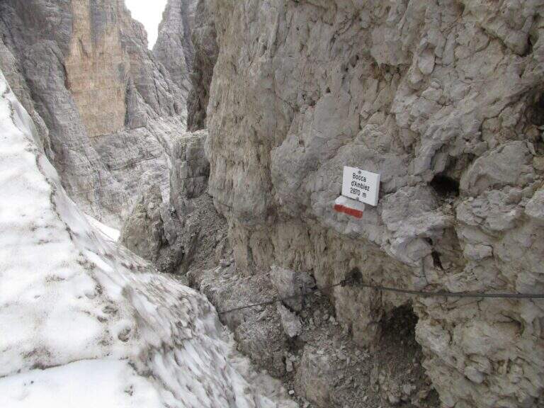
    The Attrezza dell'Ideale Path crosses the wall under the Cima d'Ambiez in the Brenta Dolomites, connecting the Refugi XII Apostoli and Agostini. Although historically classified as an equipped path, it has vertical traits and exposed worthy of a true via ferrata — not to be underestimated.

    ▲Approach

    The most common starting point is the cable car from Pinzolo to Doss del Sabion (directions road map). From Pinzolo on the SS 239 you park in the wide beaches next to the lifts. From the mountain station, follow the Attrezza della Scala Santa path to reach the XII Apostoli refuge (about 3h).

    ▲The path

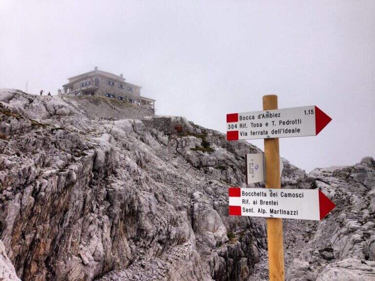
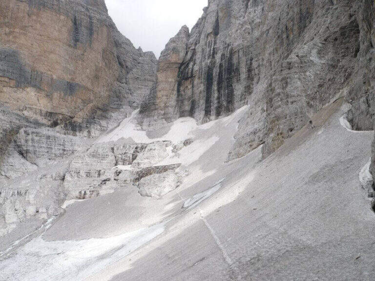
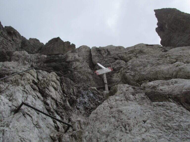
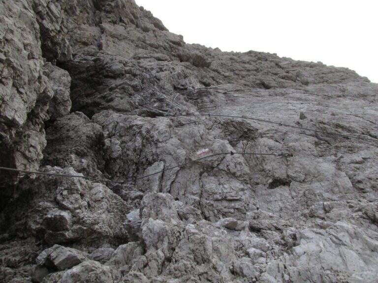
    From Rifugio XII Apostoli follow the CAI 307 towards the east towards the Bocchetta dei Camosci. You go up a valley on a detritic background with slope supported up to a point where the wall tightens: here begin the vertical and exposed traits that justify the reputation of this path. The route climbs towards the Bocca d'Ambiez alternating equipped rocks and aerial cenges. The exit leads to the Rifugio Agostini. The route can also be routed in reverse direction, or as a natural continuation of the Ferrata Brentari that starts from the Rifugio Pedrotti.

    ▲Character and difficulty

    Classified Moderately Difficult, but with passages that approach the Difficult for exposure and verticality. Not suitable for those with the use of the hardware set. Complexity: technique 2/5, physics 3/5, exposure 3/5, environment 3/5.

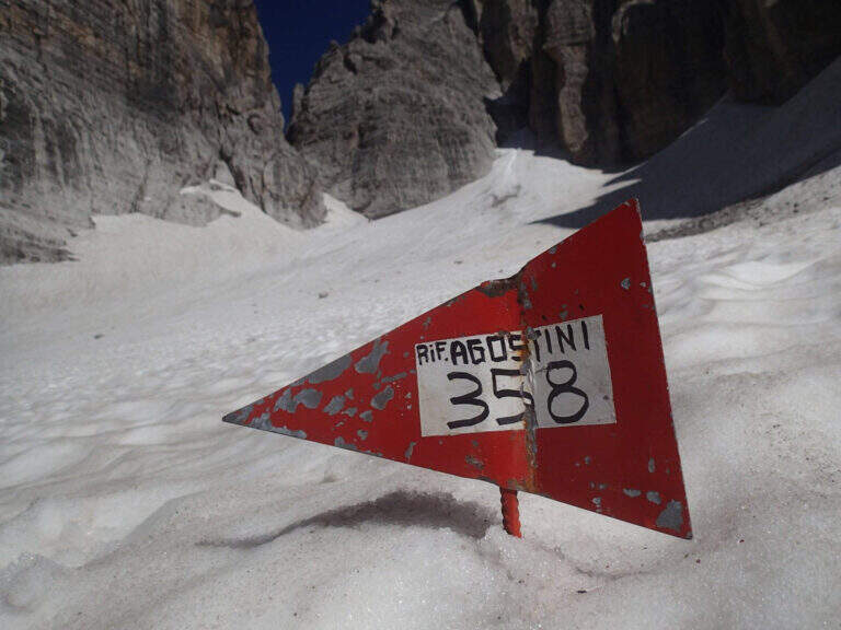
    ⚠ The itinerary takes place at high altitude in the Brenta: possible presence of snow and ice even in summer. Check the conditions at the Rifugio Agostini before leaving.
    ▲Period and safety

    From July to September. High altitude and shaded orientation can keep snow long. Recommended in company or after having traveled other similar level ferrates.

    ▲Discipline

    From the Rifugio Agostini you can descend towards Molveno along CAI paths or return to the Rifugio XII Apostoli to resume the cable car towards Pinzolo.

    ▲To match

    Complementary Ferrata Brentari, al Sentiero della Scala Santa and Ferrata Benini.

    ▲Gallery
    Technical data
    • DifficultyModerately Hard
    • RegionTrentino-Alto Adige
    • GroupDolomiti di Brenta
    • Approach3:00 h
    • Ferrata2:30 h
    • Itinerary (a/r)10:30 h
    • Hardware level difference400 m
    • Route difference450 m
    • Max1750 m
    • Length6 Km
  • Sentiero Attrezzato della Cresta Sinigaglia alla Grigna Meridio

    Sentiero Attrezzato della Cresta Sinigaglia alla Grigna Meridio

    Vie Ferrate › Lombardia › Lecco
    Sentiero Attrezzato della Cresta Sinigaglia alla Grigna Meridio
    Moderately Hard● OpenDescriptionComplexityMapsGallery

    The Attrezzato Path of Cresta Sinigaglia is one of the possible climbs to the South Grigna starting from the Resinelli Plans. Compared to the nearest and most frequented Cresta Cermenati is less beaten and a little more difficult, while remaining on moderate technical difficulties; the last stretch is very exposed, although the climbing difficulties remain contained.

    ▲Approach

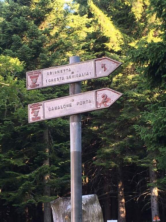
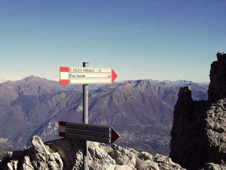
    It starts from Piani dei Resinelli, in the province of Lecco. From Ballabio you go up the uphill slope and, after the many bends, near the big brown welcome sign you continue for a hairpin bend; you climb briefly and at the next junction you hold the left along the narrow paved road until a parking lot at a bar (open up Google Maps). From the parking lot in 5 minutes you reach the Rifugio Carlo Porta and continue on the paths 1/2 inside the forest; you ignore a crossroads to the right for the Rifugio Soldanella, then, exit the forest, another crossroads where on the left the path 2 goes up the Canalone Porta. Unknown both, continue on path 1 to Cresta Sinigaglia climbing steeply to the north-east; you ignore the crossroads through the mountain routes up to a pitch for the landing of the helicopters, continue straight and, ignored also the path 3 that goes down to Canalone Porta, you reach the first equipped parts (2h from the parking lot).

    ▲The path

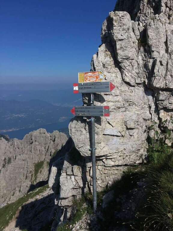
    The equipped stretch begins with an exposed traverse, the “Salto del Gatto”, where a wire rope with black sheath helps to pass in greater safety until the beginning of a rocky canal to rise. After the canal you arrive at the Wind Mouth (2065 m), from which you can finally see the top of the South Grim. Continue along the ridge of path 1 to the west, ignoring the path that on the right descends along the steep Canalino of the Federation; after the fork there is about ten minutes to the summit, to be earned going up the last stretch equipped with big chains: a series of small rocks and a last exposed wall lead to Bivacco Ferrario and the summit cross (45′ from the Salto del Gatto, 2h45 overall).

    ▲Character and difficulty

    Two points deserve attention along the way: the “Salto del Gatto” and the last equipped stretch that leads to the top. They are not difficult steps, but are exposed and require a minimum of experience.

    ⚠ The last stretch towards the cross is very exposed, although with technical difficulties contained: firm foot and a minimum of habit to the equipped paths.
    ▲Period and safety

    High mountain summer itinerary in the Grigne (max. 2177 m). The exposure of the equipped sections requires attention, especially with wet rock.

    ▲Discipline

    From the South Grigna the most used way to return to the Rifugio Carlo Porta is the path 7 along the Cresta Cermenati: not difficult, but generally quite crowded and a little slippery. In about 1h30 he returns to the refuge (4h total).

    ▲To match

    You can combine in a long ring with the Sentiero Attrezzato Cecilia towards the Rosalba refuge, then descending to the Resinelli plains with the Foppe Path. For a multi-day itinerary towards the North Sea you can evaluate the Ferrata del CAI Mandello.

    ▲Gallery
    Technical data
    • DifficultyModerately Hard
    • RegionLombardy
    • GroupGrims
    • Approach2:00 h
    • Ferrata0:45 h
    • Itinerary (a/r)4:00 h
    • Hardware level difference123 m
    • Route difference629 m
    • Max2177 m
    • Length6 Km
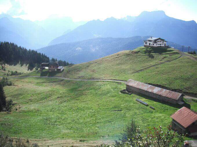
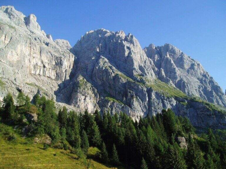
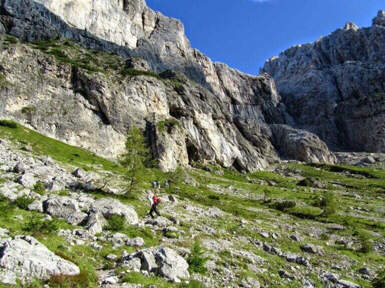
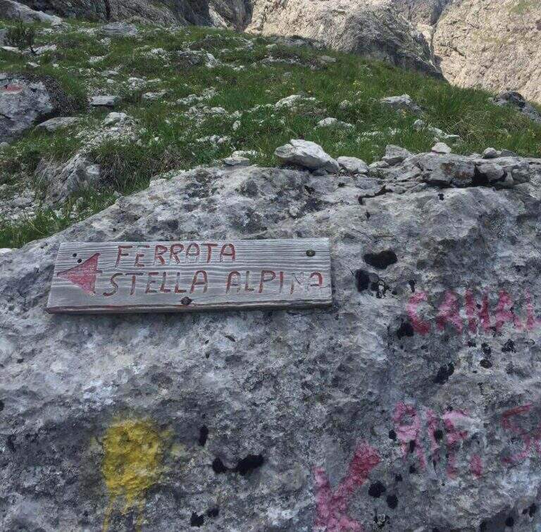
  • Ferrata Stella Alpina all’Agner

    Ferrata Stella Alpina at Agner

    Vie Ferrate › Veneto › Belluno
    Ferrata Stella Alpina at Agner
    Very difficult● OpenDescriptionComplexityMapsGallery

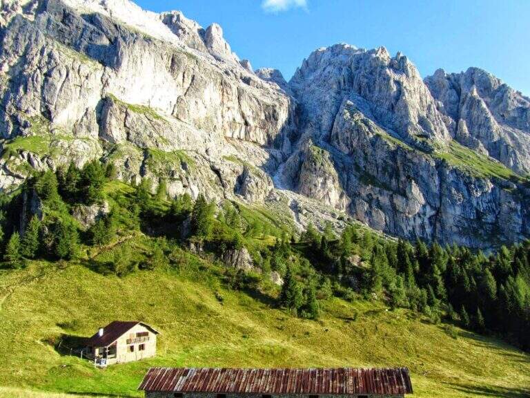
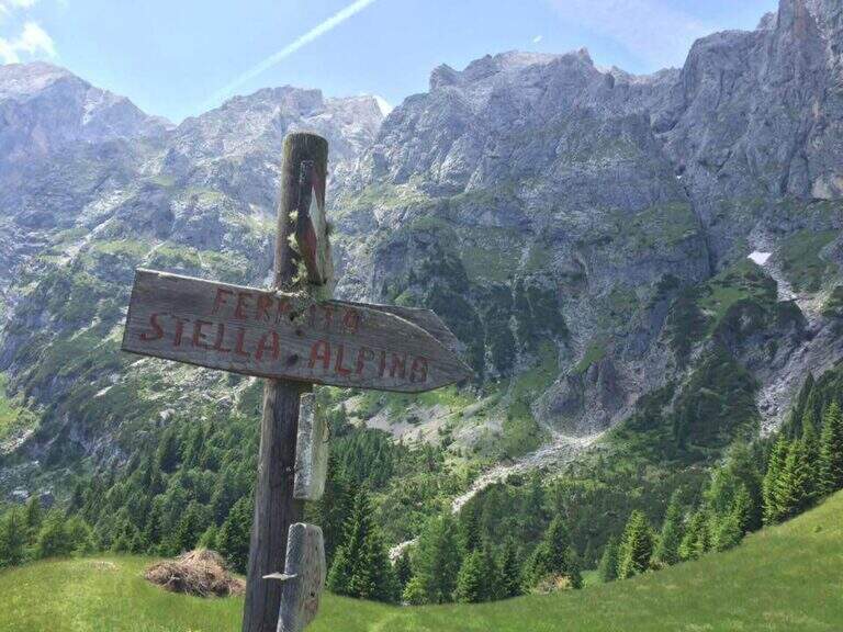
    La Ferrata Stella Alpina ` the equipped road that leads to Monte Agner, in the Pale di San Martino. The complete è tra i più challenging Italian landscape: more than 10 hours, reserved for very experienced hikers not only of ferrate but also of high mountain. At the difficulty and the stretch is added the long crossing of the Laste, the ascent all'Agner and the difficult descent along the Canalone.

    ⚠ Itinerary very long (more than 10 hours, altitude difference almost 1700 m, peak 2872 m) and extremely serious. The crossing of the Laste è exposed, with signs often faded, and becomes prohibitive with fog; with wet è rocks; not recommended. The discesa along the Canalone è steep, on unstable gravel bottom, often with snow in the lower part: useful ramps and telescopic sticks. Face it only in good state of training and with stable weather; it is recommended to break it in two days (Bivacco Biasin in Forcella Pizzon).
    ▲Approach

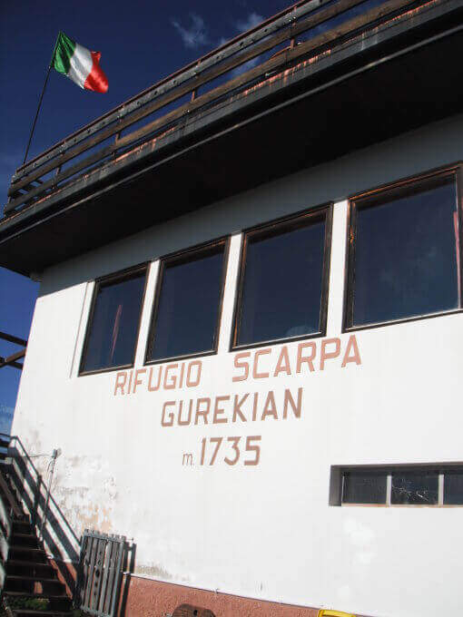
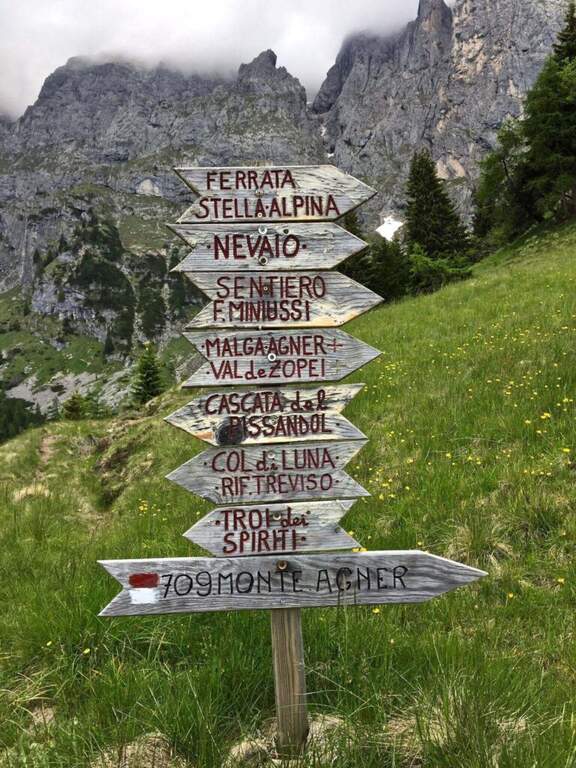
    The starting point is Frassanè (Belluno), at the foot of the Agner, reachable from Agordo or from Fiera di Primiero. Open road signs on Google Maps. In the village, from Via della Vittoria take via Domadore to a biforcation with CAI signposts (right on 771, left on 772) and park in a deck (1182 m). It goes up with 771 lungo la forestale, poi per prati lungo le piste da sci fino al Rifugio Scarpa (1735 m, 1h dal parcheggio). Dal rifugio, seguendo le indicazioni per la Ferrata e il Sentiero Miniussi, si raggiunge Malga Losch e si tiene la sinistra uscendo dal bosco; avvicinandosi alle bastionate dell'Agner, a un bivio (dove davanti si vede il nevaio del canalone di rientro) si segue a sinistra per l'attacco, al termine di una gola senza uscita, su roccette con bolli giallo-rossi e l'attraversamento di un canale fino al cartello romboidale (1955 m, 1h 45' dal parcheggio).

    ▲The path

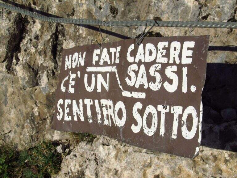
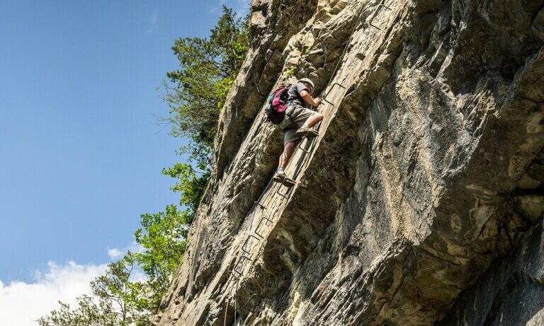
    La prima sezione supera un risalto roccioso, verticale ma appigliato, poi piega a destra su roccette e a sinistra; segue un tratto di collegamento su ghiaia, prato e roccia con vistosi bolli gialli. Si ritrovano le attrezzature presso un cartello che invita a non smuovere sassi: inizia la seconda e più impegnativa sezione. Dopo un tratto diagonale, il cavo sale verticale su una parete dagli appigli poco evidenti, poi traversa a destra verso il primo di una serie di camini, risalito in spaccata con l'aiuto di alcuni pioli. Si traversa a destra verso una stretta gola (attenzione agli zaini ingombranti), che si risale sul versante sinistro; seguono passaggi verticali in esposizione crescente, con il canalone innevato del rientro alle spalle. L'ultima sezione traversa a sinistra fino a un aereo spigolo con vista sul Rifugio Scarpa; si sale una parete verticale fino a un passaggio delicato e leggermente strapiombante lungo una fessura, da affrontare con agilità, poi il cavo piega a destra sotto il passaggio chiave: una placca verticale e liscia da risalire cercando i pochi appigli naturali e i pioli metallici. Gli ultimi metri esposti portano a «Le Laste» (2320 m, 1h 45' dall'attacco, 3h 30' totali). Inizia qui il lungo attraversamento delle Laste dell'Agner, su sentiero dapprima su sassi e prato poi su fondo roccioso, tutt'altro che banale (proibitivo con la nebbia): si seguono segni sbiaditi e ometti, fra roccette da arrampicare in libera e tratti attrezzati su placca e cengia, generalmente esposti e sconsigliati con roccia bagnata, fino al Bivacco Biasin a Forcella Pizzon (2645 m, 1h 45' dal termine della ferrata, 5h 15' totali). Per chi prosegue verso la vetta, si aggira la parete sud-occidentale dell'Agner su tratti attrezzati e un'esposta e aerea cengia, poi una rampa esposta ma non difficile e una traccia ripida fino alla croce sull'anticima dell'Agner (2872 m, 1h dal Bivacco Biasin, 6h 15' totali).

    ▲Character and difficulty

    The technical difficulties of the single stretch are "very difficult"; to these are added the objective difficulties of the Laste, the climb to the Agner and the difficult descent along the Canalone, in addition to a long approach and return. Overall it is one of the most demanding excursions in Italy.

    ▲Period and safety

    GPS tracks (GPX and KMZ) are available. From Forcella Pizzon you can go back avoiding the climb to the summit. Bivacco Biasin is in good condition for overnight stays.

    ▲Discipline

    Dalla vetta si torna a Forcella Pizzon e al Bivacco Biasin (45' dalla vetta), prestando attenzione al tratto tra cima e cengia per i pochi segni sbiaditi. Dal bivacco si scende ripidamente sul lato sinistro del canalone, su fondo sdrucciolevole con tratti attrezzati, fino a un bivio (segni sbiaditi su roccia): a destra il sentiero lungo il Canalone (qui descritto), a sinistra la via normale con segni gialli. Il Canalone scende a ripidi tornanti su ghiaione instabile, con nevaio nella parte bassa, fino in vista del Rifugio Scarpa e al bivio dell'attacco (1820 m, 1h 30' dal bivacco, 8h 30' totali); poi a ritroso fino al Rifugio Scarpa e, per il 771, al parcheggio (circa 10h totali).
    ▲To match

    Itinerary that alone engages comfortably two days. Staying in the Pale di San Martino you can reach Ferrata dell'Orsa in Val San Lucano or, in Val Canali, la Ferrata Buzzati, il Hunter's Path e la Ferrata del Canalone; towards Civetta la Yellow Flames, the extenuating Constantine, la Titus e l'Alleghesi.

    ▲Gallery
    Technical data
    • DifficultyVery difficult
    • RegionVeneto
    • GroupPale di San Martino
    • Approach1:45 h
    • Ferrata1:45 h
    • Itinerary (a/r)10:00 h
    • Hardware level difference346 m
    • Route difference1692 m
    • Max2872 m
    • Length14,4 Km
  • Ferrata Severino Casara (Croda dei Toni)

    Ferrata Severino Casara (Croda dei Toni)

    Vie Ferrate › Trentino-Alto Adige › Bolzano
    Ferrata Severino Casara (Croda dei Toni)

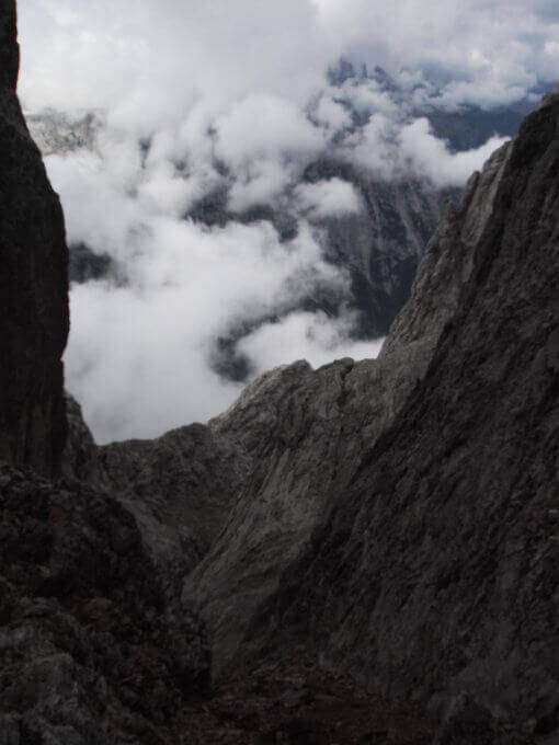
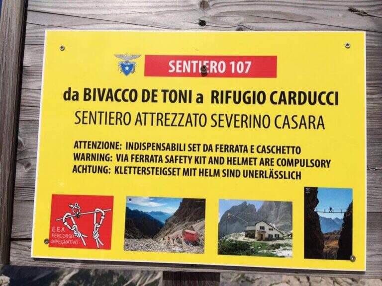
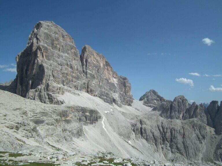
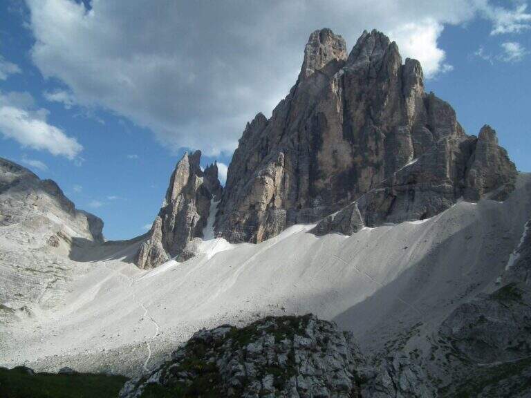
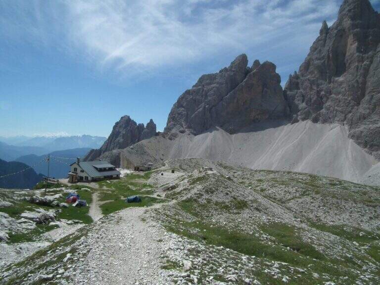
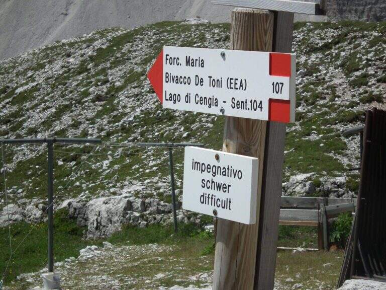
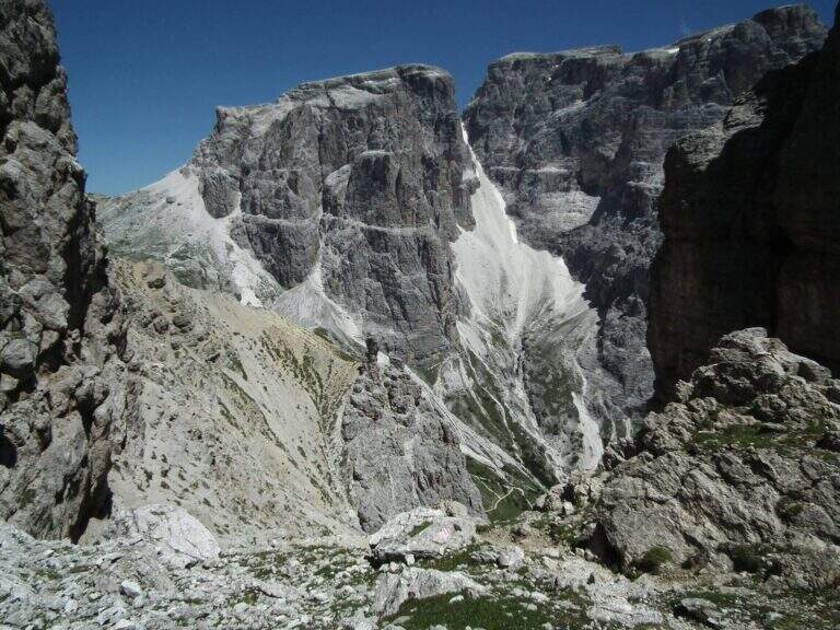
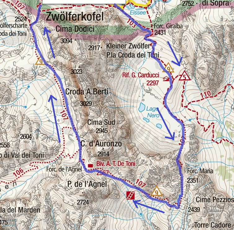
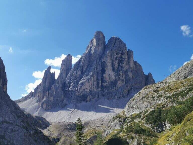
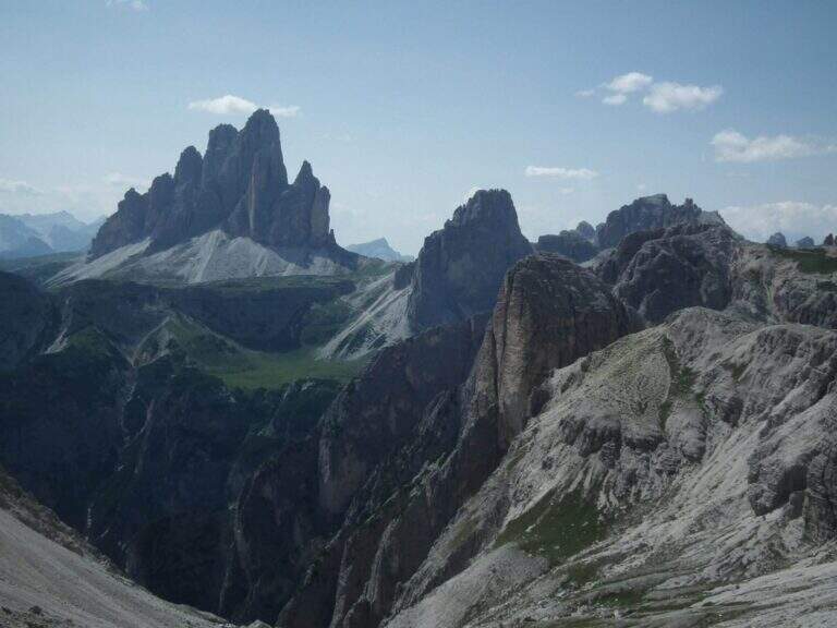
    La Ferrata Severino Casara (sentiero 107) connects the eastern side with the western side under Cima Twelve (Croda dei Toni), in the Dolomites of Sesto. È a route d' high mountain very challenging and tiring if route in the day (about 19 km, 10 hours, altitude difference 1350 m), exposed but without difficultà remarkable techniques in the equipped sections, in a spectacular environment in the presence of some of the pi&grave Dolomites peaks; Ardite.

    : Notice: A big landslide detached from the Witzenmann Tower in 2017 hit the last few meters of ferrata towards the Forcella de l'Agnel, making the formally unable. The section è only was put partly in safety with mountaineering ropes: the deviation è difficult and requires experience, not to be underestimated. Before you start checking out l' effective forcorribilità contacting Rifugi Comici e Carducci.
    ▲Approach

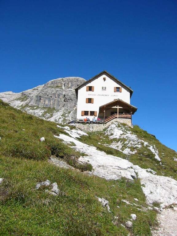
    Starting point l' Hotel Dolomitenhof in Val Fiscalina (1454 m), reachable from Moso in Val Pusteria. Open road signs on Google Maps. Follow the 102 road towards the south to the Rifugio al Fondo Valle (1548 m, 30'); continue on 102 towards the south-west and at a crossroads take the left on the path 103 towards the Rifugio Comici, constantly climbing the left of the Val Fiscalina Bassa (on the opposite side you can see the ridge of the Strada degli Alpini) up to the Rifugio Comici (2224 m, 2h 30' from the parking ). Continue on the 103 south, with the north wall of the Croda dei Toni in front, up to Forcella Giralba (2431 m); descend to the detritic valley at the Rifugio Carducci (2297 m, 3h 30' totali), start of path 107 «Sentiero Attrezzato Severino Casara».

    ▲The path

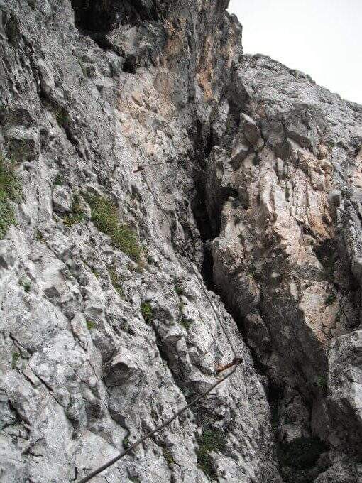
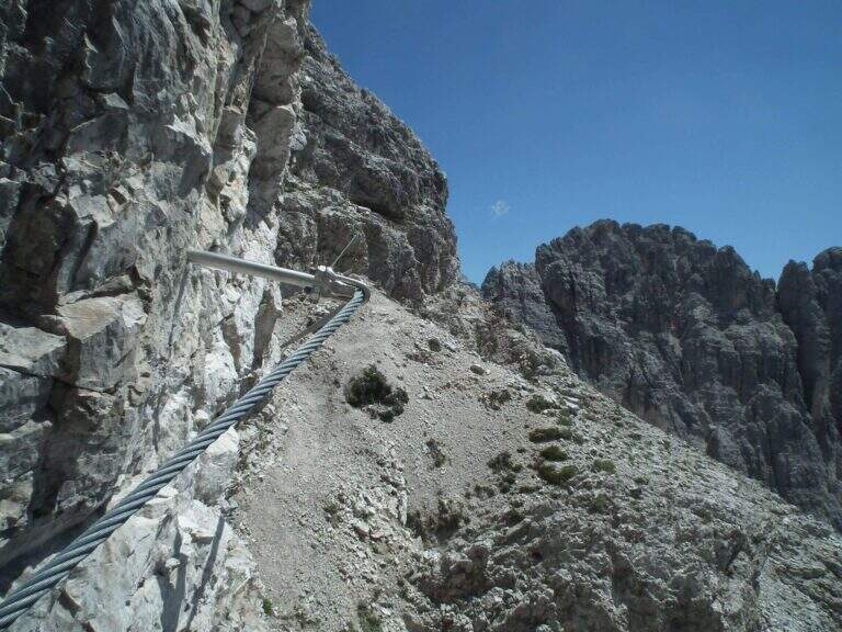
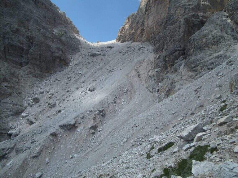
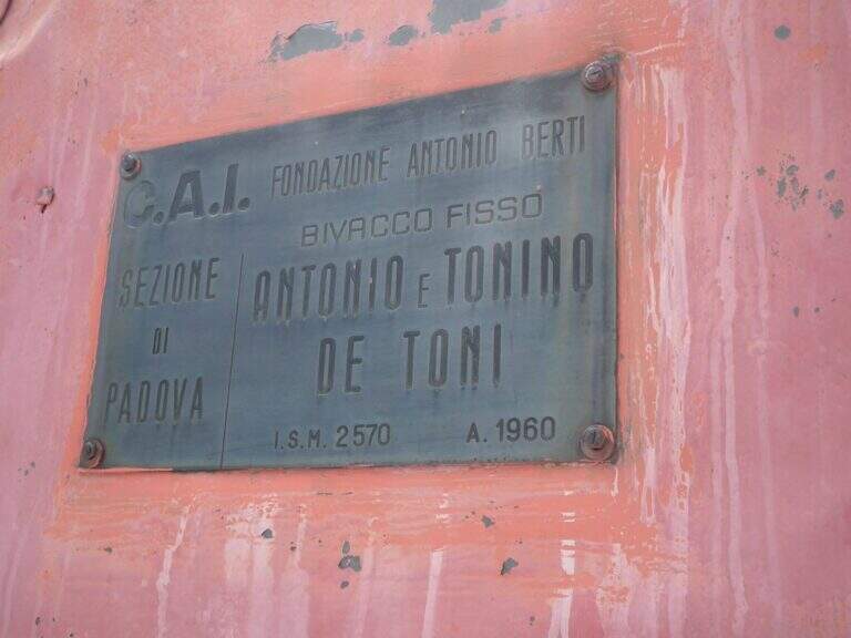
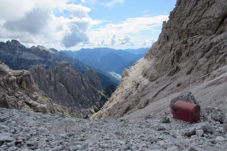
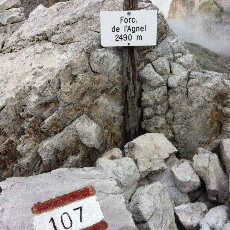
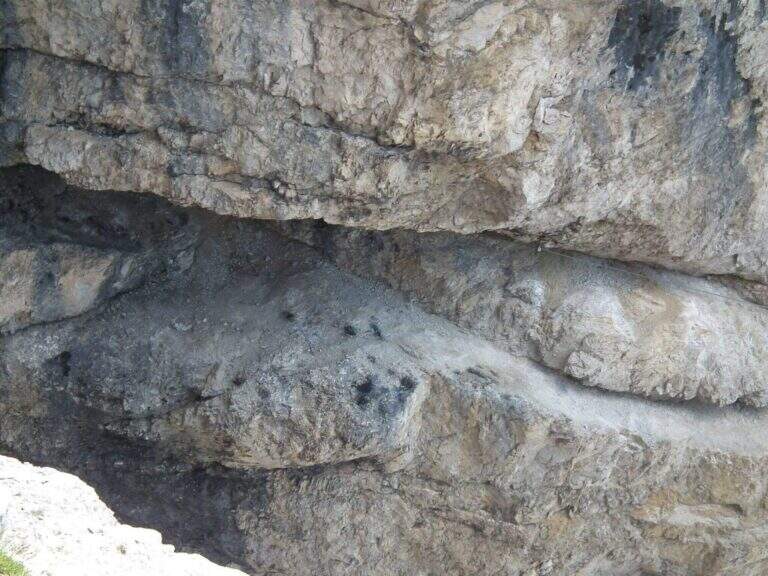
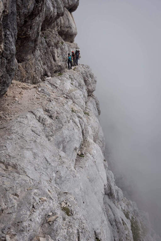
    Poco sopra il Rifugio Carducci iniziano le attrezzature. Si percorre un'esile cengia su fondo detritico lungo la parete sud-est della Croda dei Toni, alternando tratti attrezzati e sentiero, fino al bivio di Forcella Maria (2351 m, 45' dal rifugio) tra il vecchio 107 (chiuso per frane) e la via ferrata. Un traverso esposto ma non difficile porta a un primo ponte sospeso (fune a sinistra, ampie traversine di legno); si prosegue in orizzontale aggirando uno spigolo su cengia, con qualche balzo attrezzato con staffe e cambre. Verso metà itinerario si aggira lo spigolo sud e si procede verso nord-ovest su cengie esposte sulla Val Gravasecca, alternate a tratti di sentiero anche non attrezzato su terreno friabile. Sotto un caratteristico tetto roccioso si trova il passaggio chiave: in forte esposizione si raggiunge un angusto passaggio da fare a carponi (Passo del Gatto), scomodo ma non difficile. Oltre il tetto, roccette e una nuova cengia; la ferrata svolta a destra risalendo roccette arrampicabili, poi entra in una gola fino a un secondo ponte sospeso, più esposto del primo, con un salto di un paio di centinaia di metri sotto. Si sale un breve salto con due pioli e si esce dalla gola su cengia; un tratto in discesa su fondo instabile porta verso il canalone. Qui il percorso compie attualmente una deviazione con corde alpinistiche verso l'alto per aggirare la frana del 2017: tratto difficile, da non sottovalutare. Risalito il ripido ghiaione, con radi segni bianco-rossi, si raggiunge il Bivacco De Toni e poco oltre la Forcella de l'Agnel (2490 m, 2h 30' dal Carducci, 6h totali). Per chiudere l'anello verso il Rifugio Comici si attraversa a mezzacosta la parete occidentale della Croda dei Toni: si scende un ripido canalone franoso, si prosegue a mezzacosta ignorando le tracce che scendono verso Giralba, fino a un'insellatura dove, secondo la stagione, è presente un nevaio assicurato da una fune; si risale la sella detritica e, per cengia e cresta, si raggiunge la Forcella dei Toni (2524 m, 1h da Forcella de l'Agnel, 7h totali).

    ▲Character and difficulty

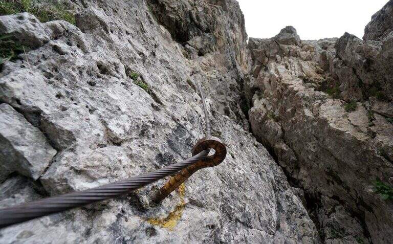
    Recent and well maintained equipment. The route does not offer technically difficult passages, but the high mountain environment, exposure, length and altitude difference make it very challenging. It is advisable to walk in this direction to face uphill the steep and slippery stretch between the end of the ferrata and the Forcella de l'Agnel.

    ⚠ With fog or low clouds, be careful to identify the attack of the ropes that help to overcome the snow between Forcella de l'Agnel and Forcella dei Toni, also present in late season: the rope assures it, but for greater safety it can be possible to have with it the ramps.

    ▲Period and safety

    GPS tracks (GPX and KMZ) are available; the 4Land Dolomites map is useful for the area. Always check the status of the route with the Comic Refugees and Carducci.

    ▲History

    The ferrata, which connects the Rifugio Carducci with Bivacco De Toni, was inaugurated in 2015 and is dedicated to the alpinist Vicentino Severino Casara, a controversial figure but very great mountaineer of his time: he climbed in rope with Comici, opened over 300 routes, he was writer and director.

    ▲Discipline

    From Forcella dei Toni begins the long descent: you descend on the gravel to the right under the northern wall of Cima Twelve, you ignore two tracks eastward, you pass under the ramparts of the Collerena and, halfway, you reach the Rifugio Comici; from here to back on 103 until the parking lot (3h from Forcella dei Toni, 10h totali).
    ▲To match

    From Rifugio Carducci you can continue towards Ferrata alla Cengia Gabriella e la Ferrata Roghel; beyond Ferrata Zandonella to the Red Croda of Sesto and the Red Croda Costumes. From the Rifugio Fondo Valle, along the Val Sasso Vecchio, you can reach the Ferrata Hosp at Toblin Tower e la Innerkofler at Mount Paterno.

    ▲Gallery
    Technical data
    • DifficultyHard
    • RegionTrentino-Alto Adige
    • GroupSesto Dolomites
    • Approach3:30 h
    • Ferrata3:30 h
    • Itinerary (a/r)10:00 h
    • Hardware level difference260 m
    • Route difference1350 m
    • Max2556 m
    • Length19 Km
  • Ferrata Sass Rigais

    Ferrata Sass Rigais

    Vie Ferrate › Trentino-Alto Adige › Bolzano
    Ferrata Sass Rigais
    Moderately Hard● OpenDescriptionComplexityMapsGallery

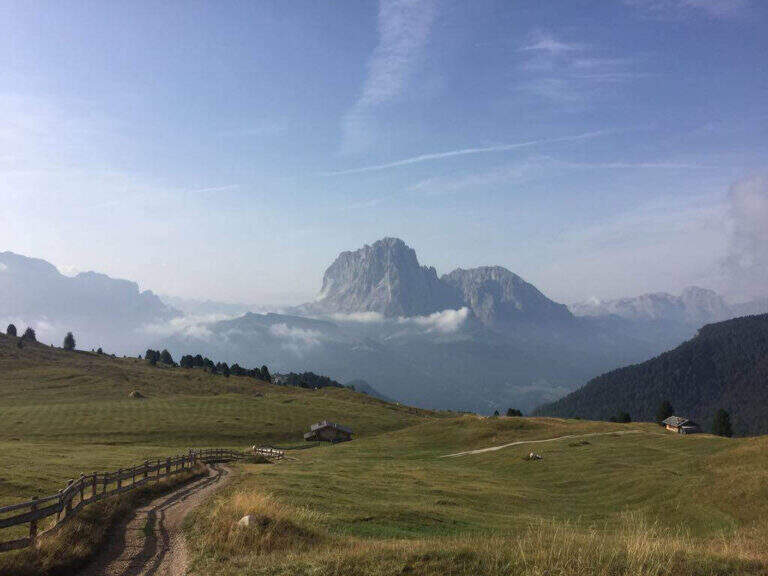
    La Ferrata at Sass Rigais door on the highest peak of Val Gardena and Odle, to 3025 m, combining two equipped routes: the ferrata est e la south ferrata. The difficulties are medium-low on both, but the east has more accentuated vertical traits and it is therefore advisable to go uphill. Approach and return are long and challenging.

    ▲Approach

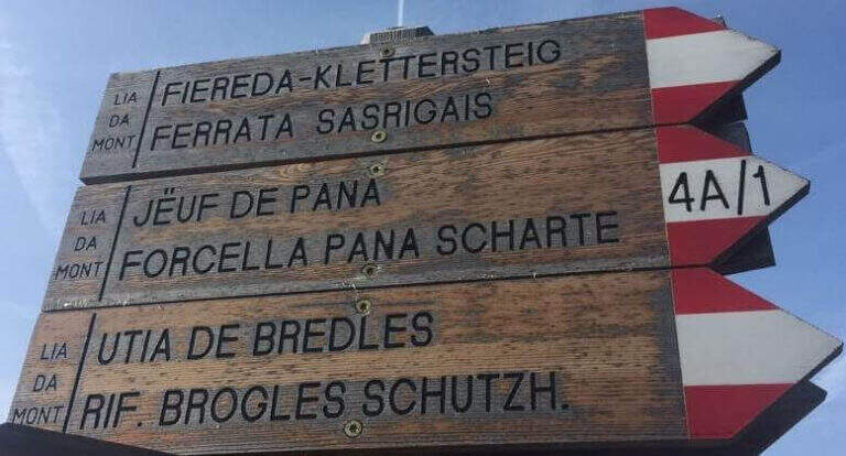
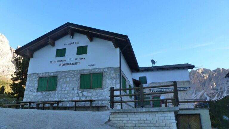
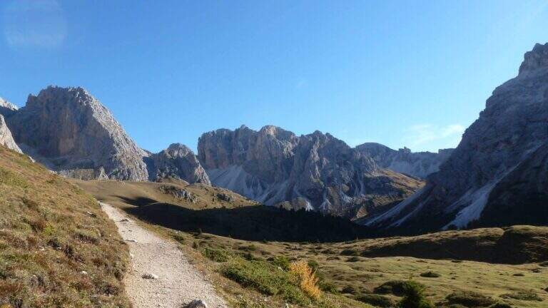
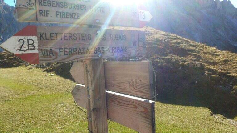
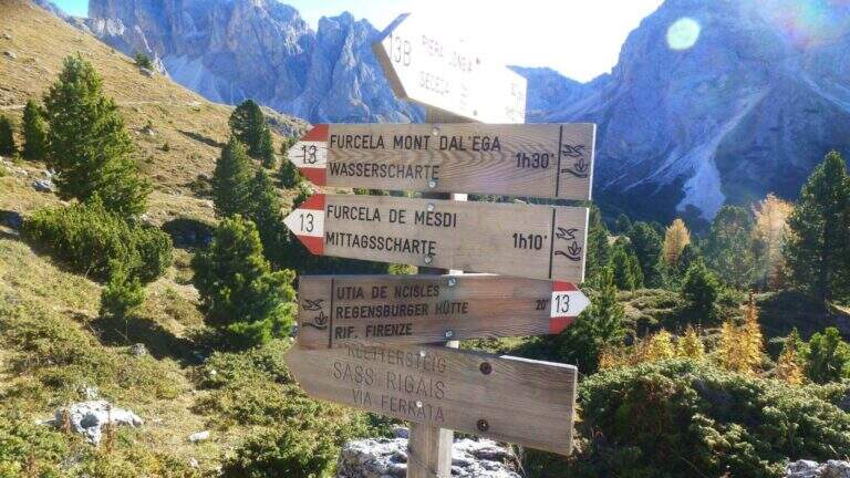
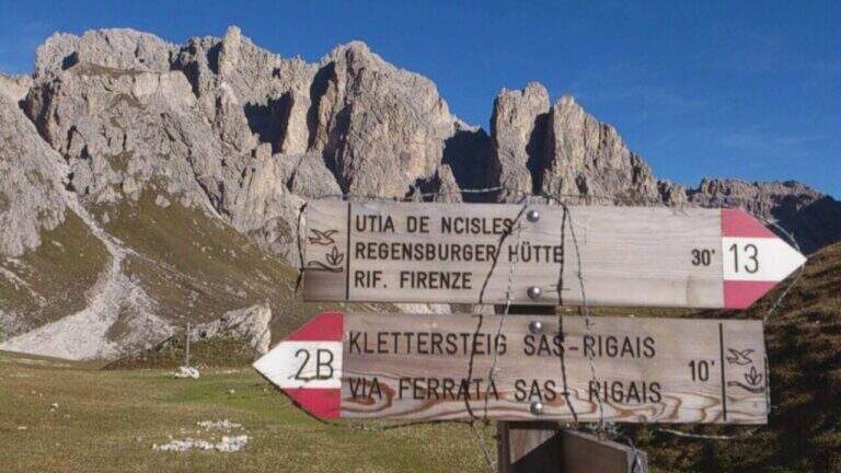
    Starting from the mountain station of the cable car that connects Selva di Val Gardena to the Rifugio Col Raiser (2106 m): from Selva you go towards Santa Cristina to the Strada Ruecia, where are the plants, parking in the wide beach in front. Open road signs on Google Maps. From the upstream station follow signs for Sass Rigais to the north-east, signpost 4, up to the Rifugio Firenze (2040 m), reached in a few minutes of ascents on road. From the refuge the path 13 punta dritto al Sass Rigais fino al bivio presso il Plan Ciautier (2322 m, 1h dalla stazione a monte): qui si può tenere la destra e salire il lungo vallone detritico della Val Salieres (per la ferrata est) oppure la sinistra col segnavia 29 verso la Forcella de Mesdì (per la ferrata sud). In questa relazione si sale dalla est e si scende dalla sud. Tenuta la destra e risalito il vallone detritico tra Sass Rigais e Furchetta, si raggiunge la forcella che li separa (2696 m, 2h 15' totali), con vista sulla Val di Funes; si tiene poi la sinistra per salire su traccia con bolli rossi la placca est fino alla sella d'attacco (2800 m, 2h 30' totali).

    ▲The path

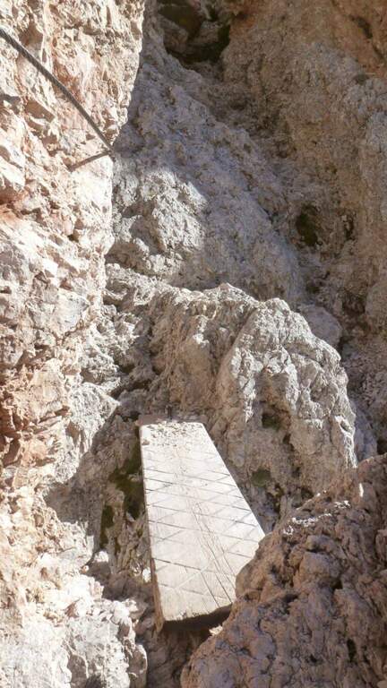
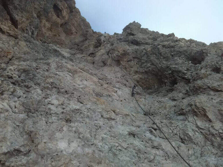
    La east ferrata inizia su roccette ben appigliate, dove il cavo serve da sola autoassicurazione; si supera una fessura e una rampa verso sinistra fino a un punto verticale che si affronta con un breve traverso a sinistra su semplici chiodi e poi in verticale su ampie e solide staffe. Seguono ancora roccette senza difficoltà e un canalino roccioso verso destra; usciti dal canalino si vede la croce sommitale. Una serie di balzi rocciosi alternati a facili roccette porta alla crestina finale e alla croce del Sass Rigais (3025 m, 1h dall'attacco, 3h 30' totali). Per la discesa si imbocca la ferrata sud: ci si dirige a sud lungo una crestina sommitale a tratti non protetta, poi su una lunga serie di roccette, rampe inclinate e balzi di difficoltà medio-bassa con cui si perde rapidamente quota fino a innestarsi in un sentiero ripido; un ultimo balzo con una rampa e un salto più verticale presso una passerella in legno chiude le attrezzature (1h dalla vetta, 4h 30' totali).

    ▲Character and difficulty

    Medium difficulty Ferrata that leads on a three thousand of the Odle-Puez; the combination of a uphill road and a downhill road makes it pleasant also for the expert ferratista.

    ⚠ The approach is long and challenging. Attention to the quota and to the fact that there are no escape routes other than the ferrates themselves: to avoid with unstable time. Nothing prohibits taking the route in reverse direction or getting off the same way uphill.

    ▲Period and safety

    GPS tracks (GPX and KMZ) are available; the map of Val Gardena, Val di Funes and Alpe di Siusi or Val Badia di 4Land is useful for the area.

    ▲History

    Sass Rigais is the highest mountain in Val Gardena and Odle. Reinhold Messner went up with his father only five years, well before the construction of the via ferrata.

    ▲Discipline

    From the end of the equipment you descend to the valley for a gravel valley towards the Plan Ciautier; at a crossroads you can può keep the right for a shortcut marked towards the Col Raiser (reent about 1h, totale about 6h).

    ▲To match

    In Val Gardena you can join the ferrates Small e al Gran Cir near Selva; towards the Sella Group the overview Tridentine; towards Passo Sella, in an increasing order of difficulty Ferrata at the Col Rodella, la Schuster at Sassopiatto e la of the Mesules at the Piz Selva.

    ▲Gallery
    Technical data
    • DifficultyModerately Hard
    • RegionTrentino-Alto Adige
    • GroupOdle
    • Approach2:30 h
    • Ferrata1:00 h
    • Itinerary (a/r)6:00 h
    • Hardware level difference225 m
    • Route difference870 m
    • Max3025 m
    • Length9,7 Km
  • Ferrata Sasso delle Nove (Cima Nove)

    Ferrata Sasso delle Nove (Cima Nove)

    Vie Ferrate › Trentino-Alto Adige › Bolzano
    Ferrata Sasso delle Nove (Cima Nove)
    Moderately Hard● OpenDescriptionComplexityMapsGallery

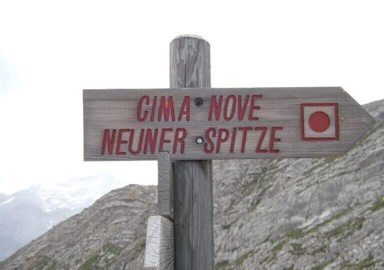
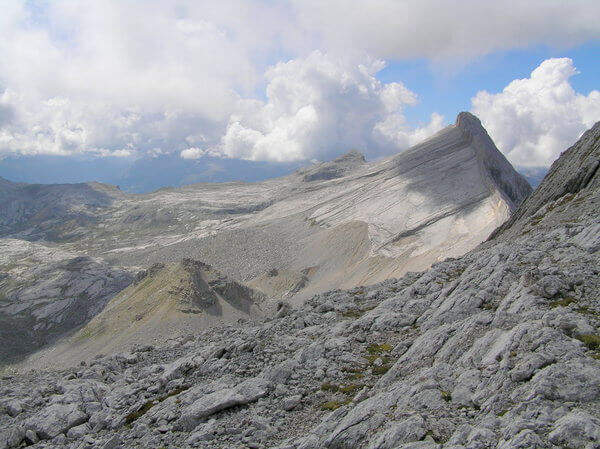
    La Ferrata in Cima Nove (Sasso delle Nove) is a short stretch equipped — the last 100 meters before the cross — placed at the end of a long and challenging high mountain route in Val Badia. Technically it is not prohibitive, but runs along a wall very exposed, especially on the southern placconata characteristic, in a solitary and austere environment with some exposed and unprotected passages. The summit touches the 2968 m.

    ▲Approach

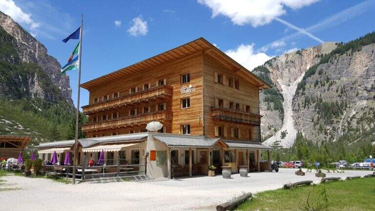
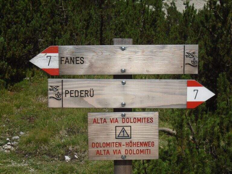
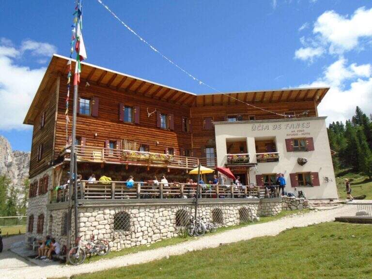
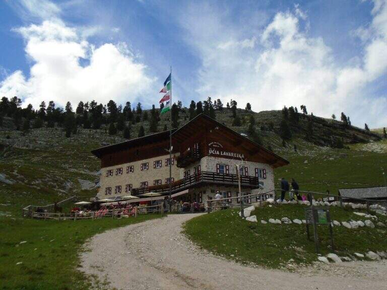
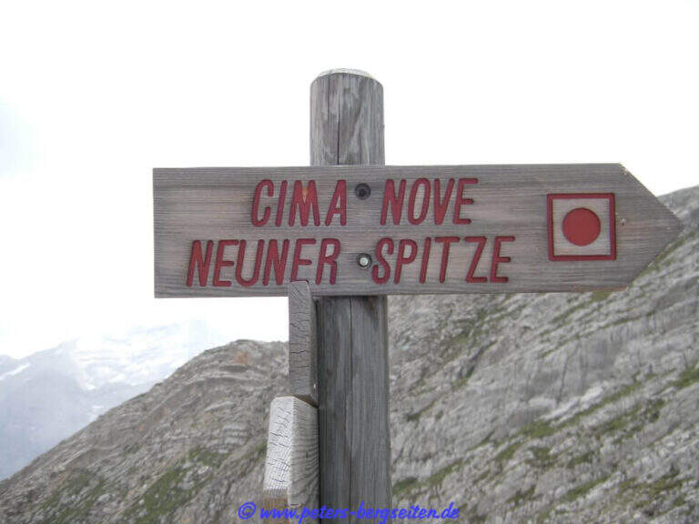
    Starting point the Rifugio Pederù (1548 m), reachable from San Vigilio di Marebbe following the signs «Pederù» già in the village, on asphalted road up to ' wide parking. Open road signs on Google Maps. From the hut follow the wide tourist path 7 to the south in the Fanes Valley, quickly touching the Pices Fanes Refuge (2007 m), the Fanes Refuge (2060 m, short optional deviation) and the Lavarella Refuge (2050 m, 1h 30' from departure). From here you take the marker 13 verso nord, a destra, sul Piano delle Sarenes, salendo costantemente fino al Passo di Sant'Antonio (Ju de Sant'Antone, 2466 m, 2h 30' totali). Si lascia il 13 e, seguendo il cartello, si sale verso est su un ripido ghiaione con alcuni bolli rossi e facili roccette fino a una sella prativa con vista su Cima Dieci e Cima Nove; qui i segni finiscono ma si segue a vista la cresta verso nord-ovest, fra precipizi su entrambi i lati, fino all'attacco delle attrezzature (2800 m, 3h 30' totali).

    ▲The path

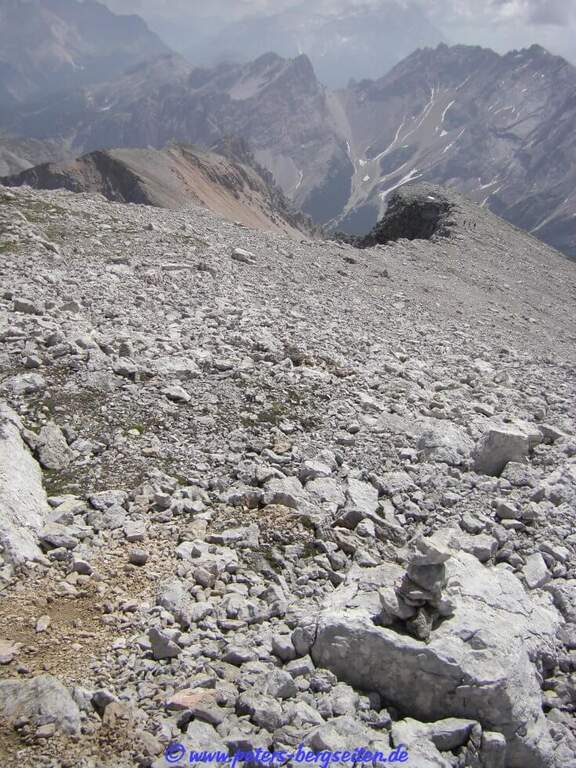
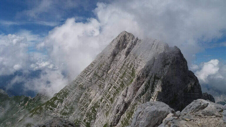
    The ferrata exceeds about 100 meters. The first sections ensure a well-graded crest near the precipice of the north wall, più similar to an equipped path; then you move on the south side, più exposed, where the cable continues without difficulty; techniques on moderate slope up to a rock where the cable stops and resumes two pi & pigrave meters; ahead. Here begins the più tract; interesting: a long and plane traverse to the left on a smooth placconata to be covered in adherence. The cable then goes up più vertical towards a stretch of very aerial edge, on strong exposure, up to a difficult & agrave medium camino; — the passage probably più technical, però enough supported. Un' last tilted plaque and some exposed top rocks close the equipment (45' from' attack). Continue on gravel slope to the cross of Cima Nove (2968 m, 15' from the end of the equipment, 4h 30' totali).

    ▲Character and difficulty

    The road does not have any technical difficulties but it develops on a very exposed wall, with smooth and vertical plates that can put in difficulty those who have little experience or non-stop foot; the equipped passages however alternate at times without difficulty.

    ⚠ The return takes place through the downhill ferrata, to be faced with great attention given the exposure. The excursion is long and, after the first shelters, quite isolated: to travel only with stable time. Downhill, on the top floor, with fog or low clouds be careful to locate the canal where the equipment runs.

    ▲Period and safety

    Alternatively, you can start from Spescia (1549 m) in Val Badia by steeply climbing the path 13 along the Fanes Valley to the Ju de Sant'Antone: shorter as a distance but more tiring and steep (about 7h a/r). GPS tracks (GPX and KMZ) are available; the 4Land Val Badia map is useful for the area.

    ▲History

    The Sasso delle Nove is a particular mountain: its long sloped southern wall was climbed by the Messner brothers with three itineraries of pure adhesion (Direttissima, Heidi, Placche), at the end of the Sixties real test benches, finally faced with rigid boots. The most repeated is today the very Direct Messner.

    ▲Discipline

    The return takes place back along l' ascent itinerary, including ferrata (3h 30' from the summit, 8h totali).
    ▲To match

    Cima Nove is the northern peak of the Sasso della Croce Group, where there is also the often combined ferrata at the Sasso della Croce and Cima Ten. Further south on the group run Sentiero Attrezzato Tru Dolomieu and the long Ferrata della Pace; towards Lake Braies easy Ferrata di Valdaora alla Cima dei Colli Alti and, at the Furcia Pass, the Ferrata at Piz de Peres.

    ▲Gallery
    Technical data
    • DifficultyModerately Hard
    • RegionTrentino-Alto Adige
    • GroupRock of the Cross
    • Approach3:30 h
    • Ferrata1:00 h
    • Itinerary (a/r)8:00 h
    • Hardware level difference110 m
    • Route difference1424 m
    • Max2968 m
    • Length19 Km
  • Ferrata Sasso della Croce and Sasso delle Ten

    Ferrata Sasso della Croce and Sasso delle Ten

    Vie Ferrate › Trentino-Alto Adige › Bolzano
    Ferrata Sasso della Croce and Sasso delle Ten
    Moderately Hard● OpenDescriptionComplexityMapsGallery

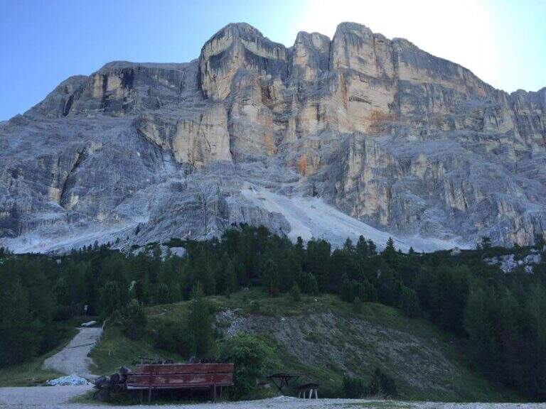
    The combination of ferrates to Sass de la Crusc (Sasso della Croce) and Ten is a great mountain route starting from Badia, in Val Badia. The equipped sections are of medium difficulty, but the path is long (more than 16 km, almost 1000 m of altitude difference) and for wide stretches runs on exposed and unprotected path: it must be faced with good preparation and stable time. In return it offers spectacular views of Val Badia, Sassolungo, Gruppo Sella and the Dolomites peaks of Cortina, with the summit in 3026 m.

    ▲Approach

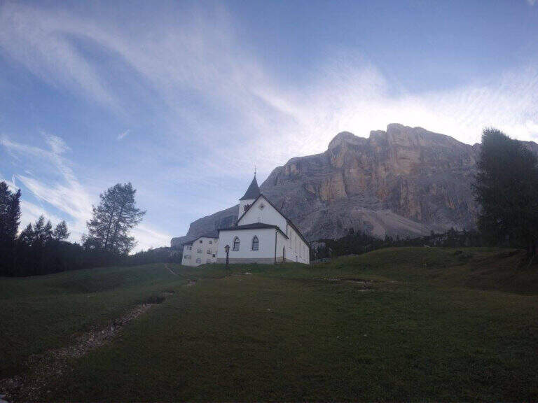
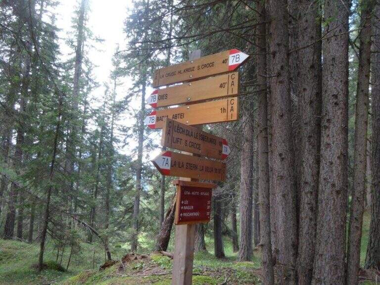
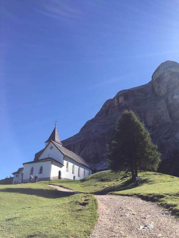
    The support is the Santa Croce refuge, on the eastern side of the Val Badia valley at the height of Badia, reachable with the chair lifts «La Crusc 1» and «La Crusc 2» or walk to the comfortable path 7 from Badia (about 1h 30'). Open road signs on Google Maps. From the mountain station (2045 m) you have in front of the imposing rampart of the Sass dla Crusc, the first destination of the day. Follow the signs 7 passing next to a white church; the path then climbs right towards the south, first sweet among the mughi and then più decided out of the wood, towards the wall. You walk under the rock along a path that takes you via più narrow and exposed: here begins the first equipped section (1h from the mountain station).

    ▲The path

    The first cable helps on an exposed nod followed by a vertical leap; continue alternating halfway path exposed to short equipped stretches. You go up a sloped ramp with the cable on the left and you go on l' exposed path that wanders the south-west wall of the Sass dla Crusc; after a stretch of unequipped rocks you meet a equipped with two metal brackets and an easy crossing. A long nod, più narrow of the preceding, è protected by a self-insurance rope; therefore turns south for l' last stretch of path, partially equipped where it enters a steep franose canal, up to the Forcella dla Crusc (2h 30' in total). At the fork, crossroads of paths, the sinistra is held to stay on the ' plateau. You walk between stones and wreaths a po' slippery but not difficult until the Piz Zuber, then at the junction for the Sass dla Crusc (2907 m, optional but recommended deviation), and continue along the panoramic crest towards Cima Ten. Here begins the second stretch ferrato: short but very exposed, goes up the southern edge for about fifty meters of vertical rocky leaps. After the first metres, a series of più jumps is approached; marked with the cable on the left; from a panoramic balcony rises on a strong display on two challenging sections, then wanders the edge on the eastern side and you see, at about fifteen meters, the wooden cross. A few steps horizontally enters a chimney that goes up in the split, from the right to the left; the last rocks lead to the summit plateau and the croce of Cima Dieci, with a 360° view; (2h from Forcella, 4h 30' in total ). The ridge that detaches towards Cima Nove è travels from its ferrata.

    ▲Character and difficulty

    The first ferrata, the one that leads to the Forcella dla Crusc, è in the complex facile: it has three short and difficult vertical sections; techniques, while the other cables are mainly used to protect exposed paths. The Cima Ten hardware is short but intense, very exposed and with the first metà vertical and demanding.

    ⚠ Itinerary of high mountain, long and with important difference in altitude: it requires good physical form. Several stretches of path before the Forcella are exposed and not protected, not recommended to those who have no mountain or foot experience. Cima Ten requires no dizziness. The stability of the weather is fundamental: there are no real points of support and are equipped both at the beginning and at the end of the tour, to avoid with unstable weather.

    ▲History

    The Sasso della Croce è linked to the history of ' mountaineering by Reinhold Messner: in July 1968, climbing the Pillar of Mezzo with his brother Günther, he found himself in a smooth four-metre plaque from which he could not né climb né Get down. The superò, as it tells in its famous «Settimo Grado», and the attributables; an evaluation of VIII degree, until then never used; it should be remembered that the facedò with rigid sole boots.

    ▲Period and safety

    The GPS tracks (GPX and KMZ) can be downloaded from the card; the 4Land Val Badia map is useful for the area.

    ▲Discipline

    The descent takes place along the same path of the ' gone; the two equipped sections require special attention because of the eacute; downhill routes (3h from the summit, 7h 30' overall).

    ▲To match

    Hardly this tour leaves energy for a second ferrata in the day, but on several days from the Forcella dla Crusc you can climb to the Piz de Lavarella and get off towards the Sentiero Attrezzato Tru Dolomieu. In Val Badia there is Ferrata della Pace; by Corvara, on the Sella Group Ferrata at Piz de Lech and that of Vallontowards Passo Gardena la Ferrata at Gran Cir and, towards the Furcia Pass, the new Ferrata at Piz de Peres.

    ▲Gallery
    Technical data
    • DifficultyModerately Hard
    • RegionTrentino-Alto Adige
    • GroupRock of the Cross
    • Approach2:00 h
    • Ferrata0:45 h
    • Itinerary (a/r)7:30 h
    • Hardware level difference75 m
    • Route difference979 m
    • Max3026 m
    • Length16,1 Km
  • Ferrata Sartor at Monte Peralba

    Ferrata Sartor at Monte Peralba

    Vie Ferrate › Friuli-Venezia Giulia › Udine
    Ferrata Sartor at Monte Peralba
    Moderately Hard● OpenDescriptionComplexityMapsGallery

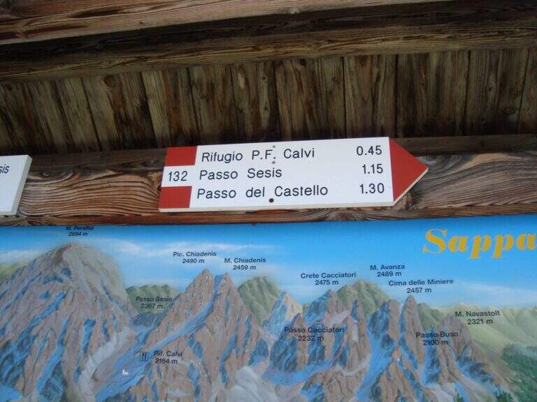
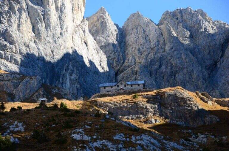
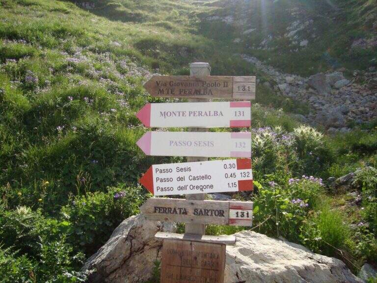
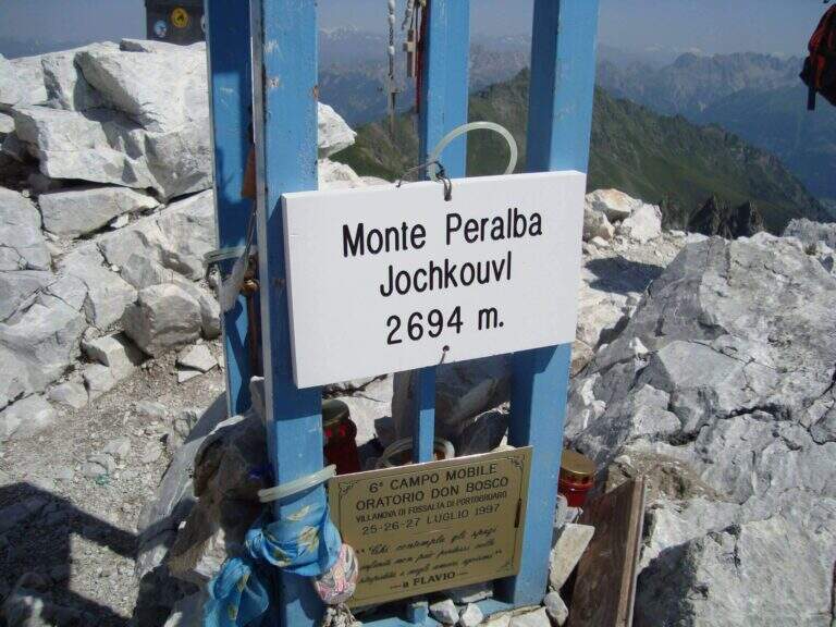
    The Ferrata Sartor climbs the south side of the Monte Peralba (2694 m), the più top; high of the Sappada area. È a difficult-to-grave medium route; and rather short, inserted in a beautiful excursion; it deserves attention the return, which happens for l'impegnative normal way on the north side.

    ▲Approach

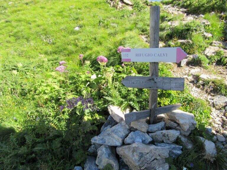
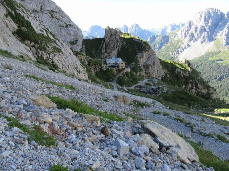
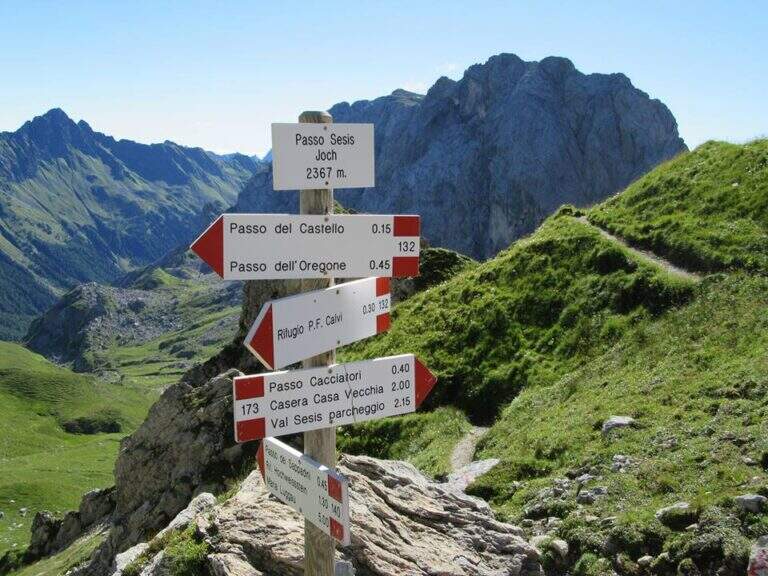
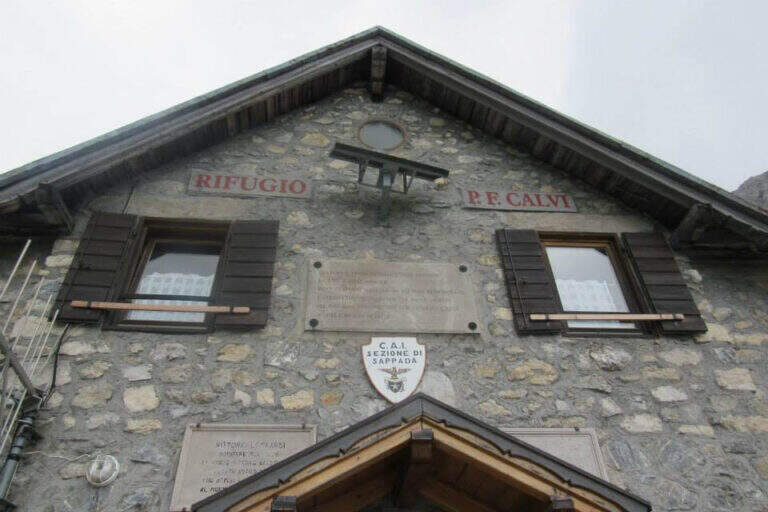
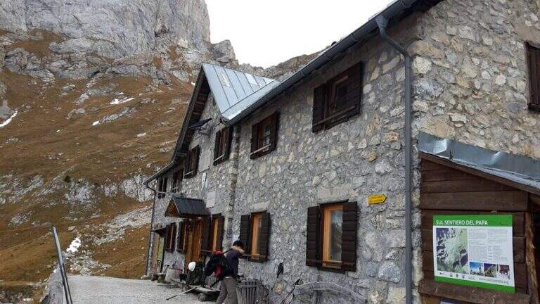
    Base the Rifugio Calvi, between Chiadenis and Peralba. It starts along the SP 22 connecting Cima Sappada with the Sorgenti del Piave: from the center of Cima Sappada a road to the left (indications Sorgenti del Piave) climbs for 8 km; just before the Rifugio Sorgenti del Piave you leave l' car in a large parking on the road (about 1800 m). Open road signs on Google Maps. Si sale verso il Rifugio Calvi (2167 m) per la sterrata o per il «Sentiero delle Marmotte» (entrambi ~45'); dal rifugio si va verso il Peralba e il Passo Sesis e dopo ~15', a un bivio (2272 m), si tiene la sinistra verso la bastionata, fino alla targa e all'inizio delle attrezzature (2360 m, 1h 30' dal parcheggio).

    ▲The path

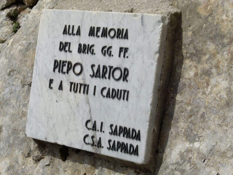
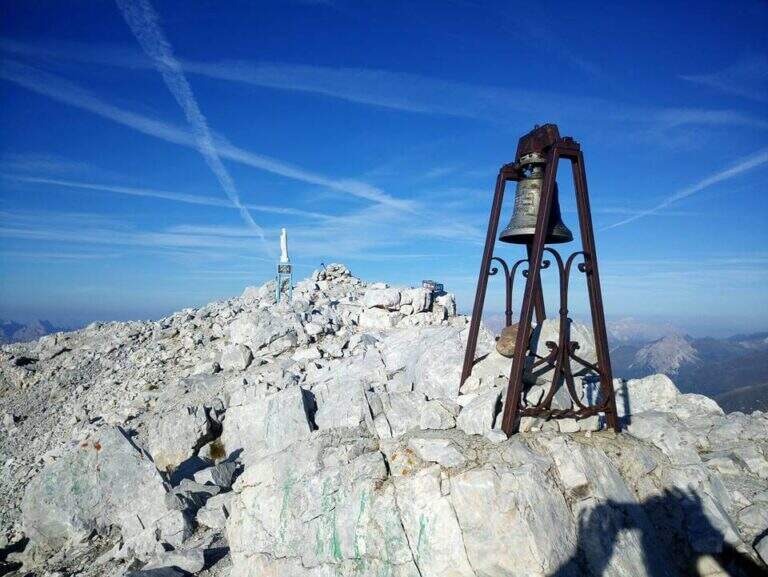
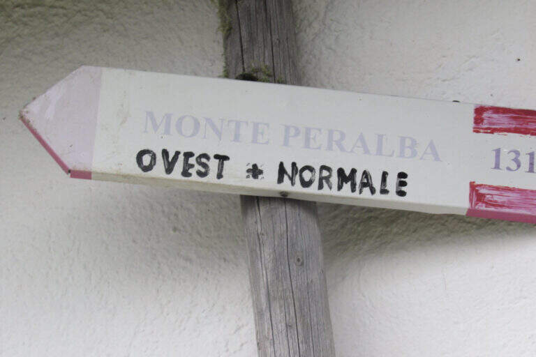
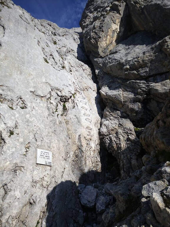
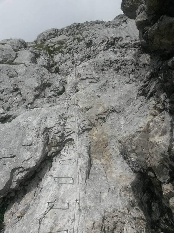
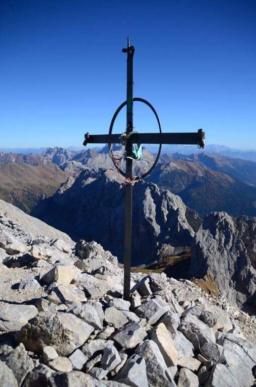
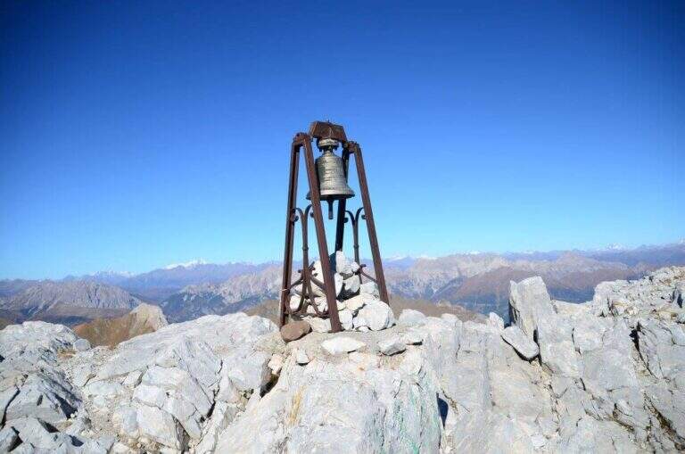
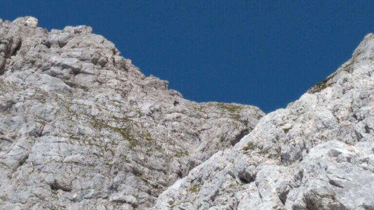
    A destra della targa in marmo bianco sale una lunga serie di cambre su placca liscia: si guadagna rapidamente quota ed esposizione superando un paio di punti leggermente strapiombanti. Dopo uno stretto balconcino la placca diventa più appoggiata, con cambre orizzontali, pioli e maniglie, su buona roccia dove alcune scanalature aiutano la progressione; il tracciato è quasi rettilineo. Dopo una settantina di metri il cavo piega a sinistra: una decina di metri su stretta cengia portano sotto un colatoio da risalire (attenzione alla possibile caduta di sassi), poi il cavo sale in diagonale a destra su parete ben appigliata fino al termine delle attrezzature (40' dall'attacco). Per la vetta si segue una modesta traccia con sbiaditi segni rossi fino al crinale: a destra si sale in cima, a sinistra scende la via Ovest (alternativa di discesa più lunga). Si raggiunge la vetta del Peralba (2694 m), con croce, campana e madonnina e vista magnifica (1h 15' dall'attacco / 2h 45' dal parcheggio).

    ▲Character and difficulty

    A short piece, without any technical difficulties: first vertical section but very bracketed, second more supported and climbing, last stretch on a high path. Very beautiful excursion from the landscape point of view.

    ⚠ Il return to the normal way north è the più tract; challenging: steep, exposed and with a canal equipped on friable bottom and often wet rock, to be faced with sling. Being exposed north può be snowy even at the beginning of the season.
    ▲Period and safety

    Itinerary of high altitude (2694 m): full summer, dry rock and no snow on the north side.

    ▲Discipline

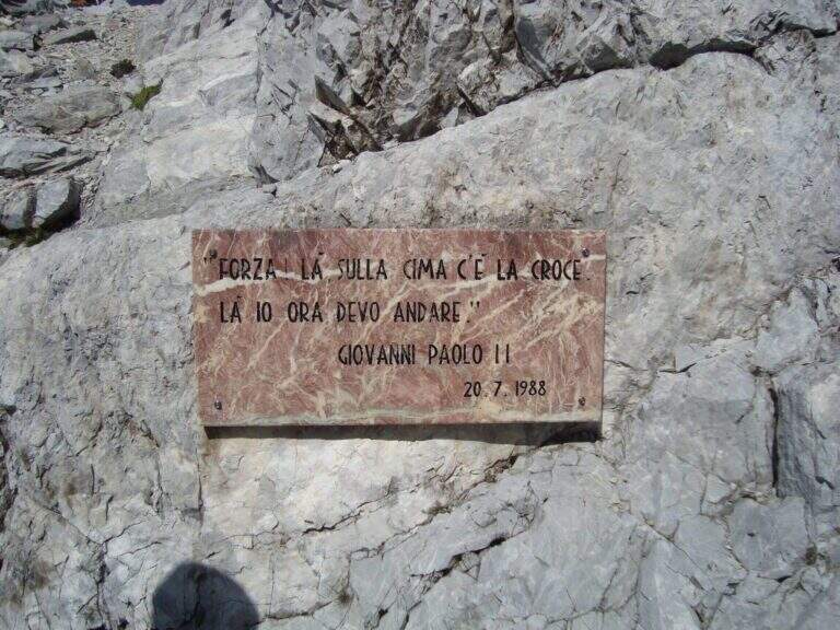
    Go down the steep path of the north side: già from the first meters strong exposure, up to a fork with two metal plates (visit of the pope and fallen of the Great War). The destra is held at a crossroads (war rites) following a red stamp and descends the steep canal equipped on a friable bottom; on path and labile tracks follow the logical descent line, you pass a canon and you descend to the edge of a ring. To a pole you hold the right and climb to the Passo Sesis, from which you descend to the Rifugio Calvi (1h 15' from the summit) and finally to the parking lot for the path of ' gone (30' from the refuge / 4h 30' totali).
    ▲To match

    From Passo Sesis you reach the attack (30') of Ferrata del Chiadenis, great to match two itineraries in the day. To the Dolomites of Sesto la Ferrata Roghel e la Ferrata alla Croda Rossa di Sesto; towards Friuli la Ferrata del Coglians e la Ferrata dei Cinquanta.

    ▲Gallery
    Technical data
    • DifficultyModerately Hard
    • RegionFriuli-Venezia Giulia
    • GroupAlps Carnia
    • Approach1:30 h
    • Ferrata1:15 h
    • Itinerary (a/r)5:30 h
    • Hardware level difference334 m
    • Route difference894 m
    • Max2694 m
    • Length8,9 Km
  • Ferrata Grasselli at Picco di Carnizza and Monte Canin

    Ferrata Grasselli at Picco di Carnizza and Monte Canin

    Vie Ferrate › Friuli-Venezia Giulia › Udine
    Ferrata Grasselli at Picco di Carnizza and Monte Canin

    A challenging and mountaineering itinerary in the Alpi Giulie: the Ferrata Grasselli climbs the Picco di Carnizza, then a long ridge connects to the Monte Canin (2587 m) and the descent takes place from Ferrata Julia to the Glacier del Canin. Very varied route, with exposed stretches both on the crest and downhill, to be faced only with experience and stable time.

    ▲Approach

    From the cable car upstream station that from Sella Nevea rises to the Gilberti-Soravito Refuge. From Chiusaforte (20' from ' exit Carnia-Tolmezzo on'A23) follow the signs for Sella Nevea to the east, you pass the bridge and drive for about 20 km until the plants. Open road signs on Google Maps. From the refuge (1850 m) you take to right the path 632 towards the Sella Bila Pec (ruders of a barracks), then halfway towards the Sella Grubia and Bivacco Marussich, going up to the west with the Montasio behind, up to the Bivacco Marussich (2040 m, 1h 30' from the mountain station).

    ▲The path

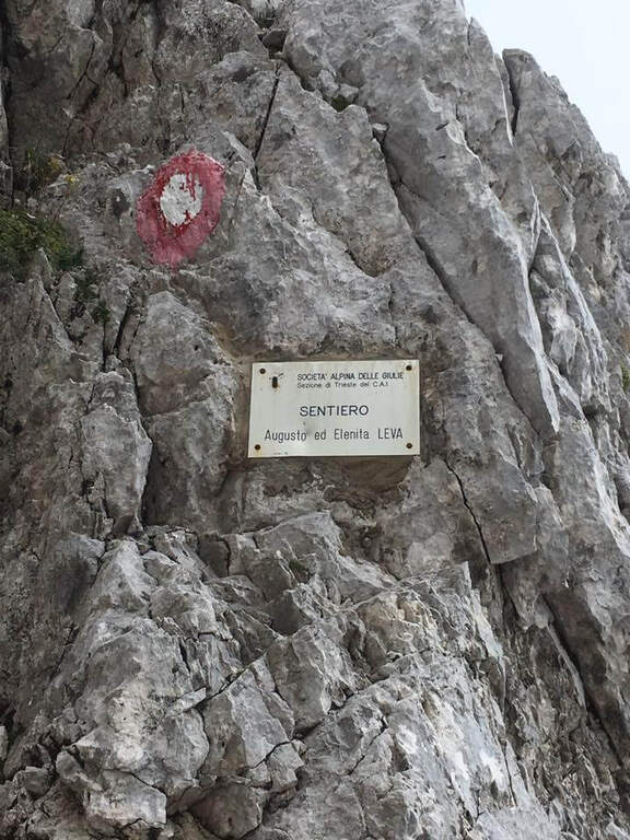
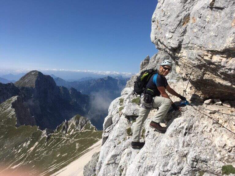
    Dal bivacco si sale su traccia per prati e rocce verso l'evidente spigolo dove la targa segna l'inizio della Ferrata Grasselli (20' dal bivacco). Spostandosi un paio di metri a destra della targa e seguendo i triangoli rossi, si risale una prima parete verticale ben appigliata ma impegnativa (qualche piolo aiuta); si guadagna quota ed esposizione fino a una parete con fessura, che si supera restando a destra su staffe metalliche. Un breve tratto di collegamento e una traccia esposta a sinistra portano su un tratto di cresta attrezzata: roccette esposte ma senza difficoltà sostanziali e alcuni canalini concludono il primo tratto ferrato. Per sentiero ripido tra sfasciumi si raggiunge l'ampia cresta che porta al Picco di Carnizza (2441 m, 1h dall'attacco / circa 3h totali). Inizia la seconda parte verso il Canin: si perde quota e si percorre una cresta che alterna sentiero e placche inclinate (attenzione col bagnato), con notevole precipizio a nord verso il Ghiacciaio del Canin. Seguendo i bolli rossi (triangoli dell'Alta Via Resiniana) si aggira una cengia erbosa, si risalgono balzi attrezzati lungo un canalino e si raggiunge lo spigolo ovest del Canin; alternando tratti su sentiero, placche e roccette si sale fino ai resti della croce del Monte Canin (2587 m, 2h 30' dall'attacco / circa 4h 30' totali).
    ▲Character and difficulty

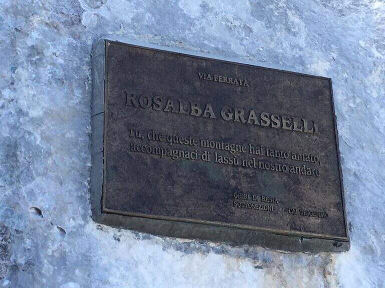
    Beautiful and fulfilling itinerary but challenging, exposed and more difficult traits: both Grasselli and Julia downhill require good experience, discreet technique and no problem with exposure. Installed in 1995 from the CAI of Tricesimo, is named after Rosalba Grasselli.

    ⚠ Da avoid with unstable weather: between the peak of Carnizza, the Canin and the descent from Julia there are no escape routes. Beware of snow at the beginning of the season on the north side of the Picco di Carnizza.
    ▲Period and safety

    Itinerary d' high altitude (2587 m): full summer with stable conditions. For the descent on the glacier are recommended the crampons.

    ▲Discipline

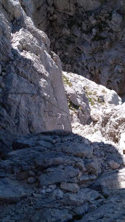
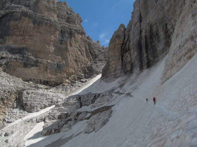
    From the peak of the Canin you descend on the normal road (east side) and in 10-15' you reach the crossroads on the left for the Ferrata Julia (difficultà medium;, downhill requires attention; rock well attached except l' last plaque, più tiring for arms but a few meters). The ferrata ends on the Ghiste of the Canin (1h 30' from the peak / 6h total). The descent of the glacier requires a lot of attention and the ramponi are definitely recommended (usually without big cracks); the track continues south, Sella Bila Pec and the upstream station of the cable car (1h 15' from the end of Julia / about 7h 30' totali).
    ▲To match

    In the Julian Alps: on the Jof Montasio la Via Amalia; towards Val Dogna the long Ferrata Norina at Monte Cavallo; on Jof Fuart the Ferrata Anita Goitan; towards Mangart la Ferrata della Vita.
    ▲Gallery
    Technical data
    • DifficultyHard
    • RegionFriuli-Venezia Giulia
    • GroupJulian Alps
    • Approach1:30 h
    • Ferrata2:30 h
    • Itinerary (a/r)7:30 h
    • Hardware level difference547 m
    • Route difference737 m
    • Max2587 m
    • Length11 Km
Need help? Write to us!