Caratteristica: Panoramica

  • Ferrata Sora el Sass

    Ferrata Sora el Sass

    Vie Ferrate › Veneto › Belluno
    Ferrata Sora el Sass

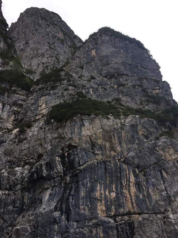
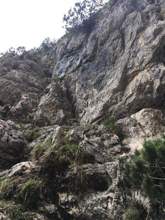
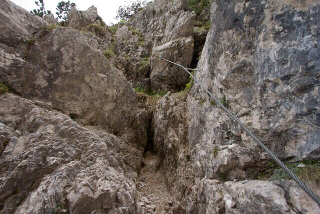
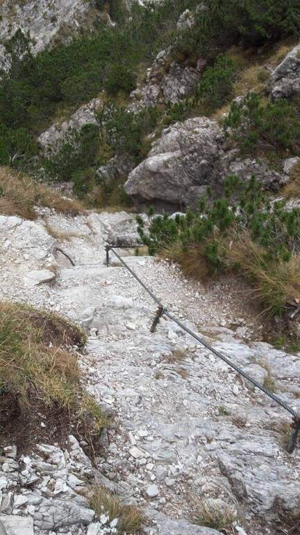
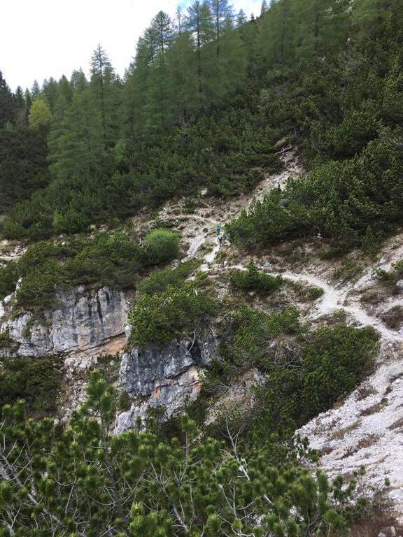
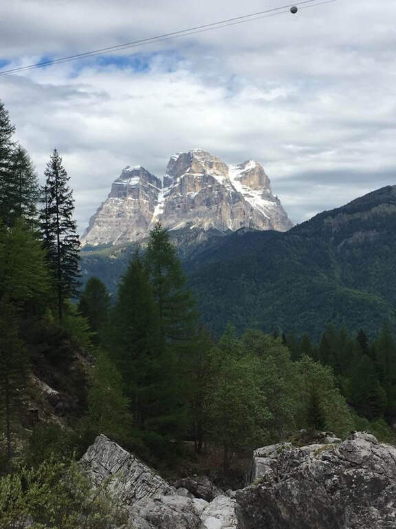
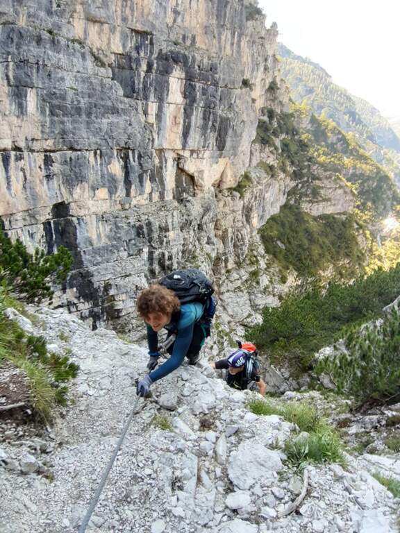
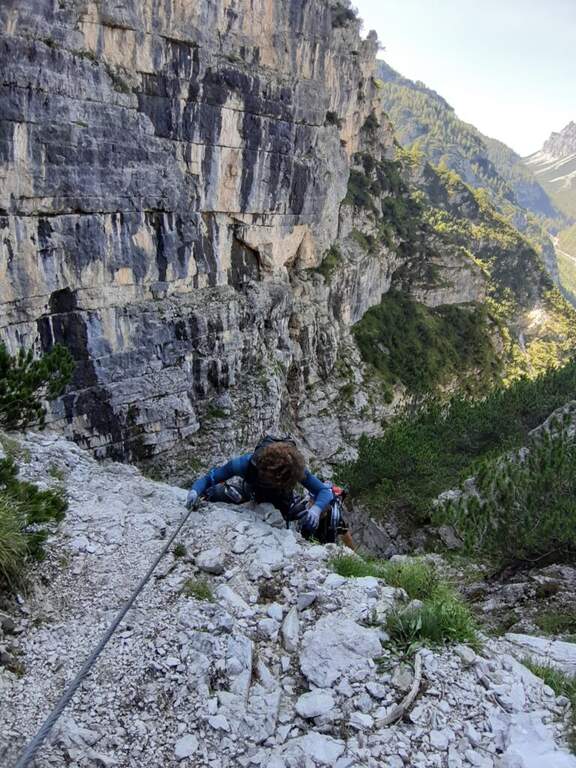
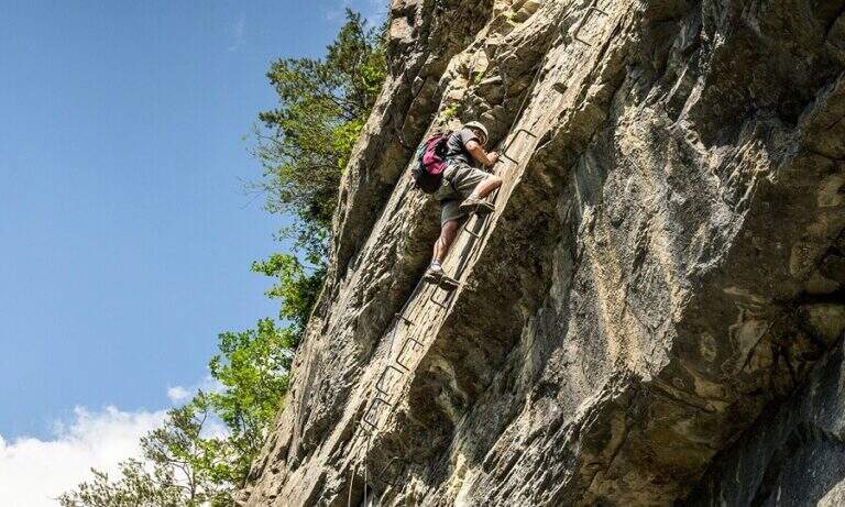
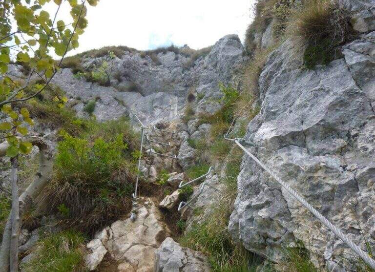
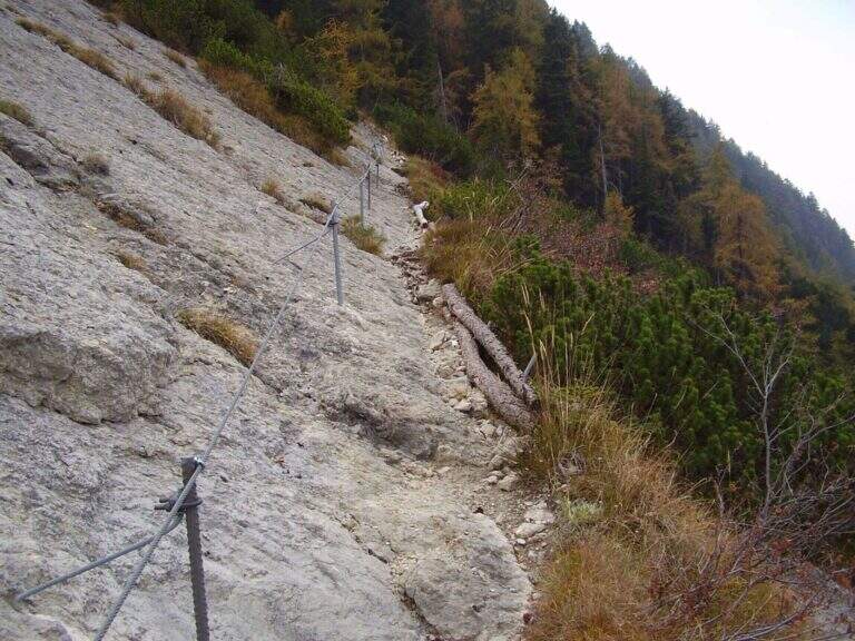
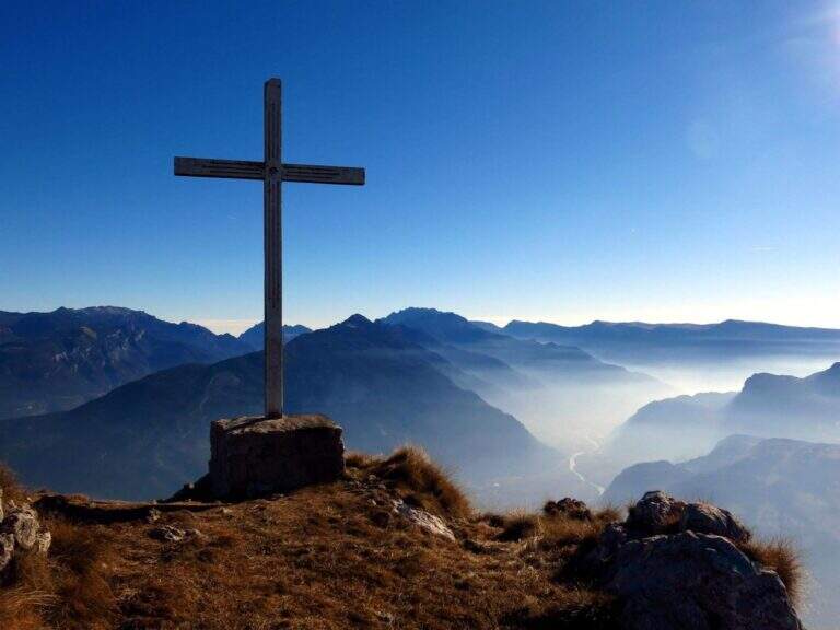
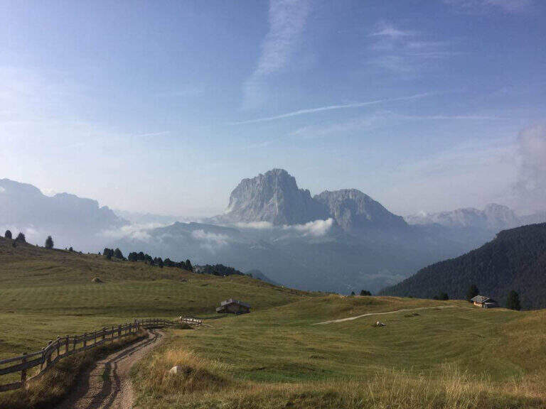
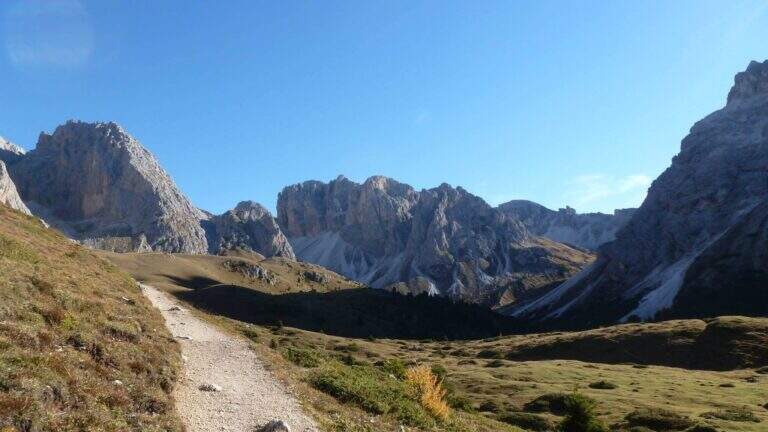
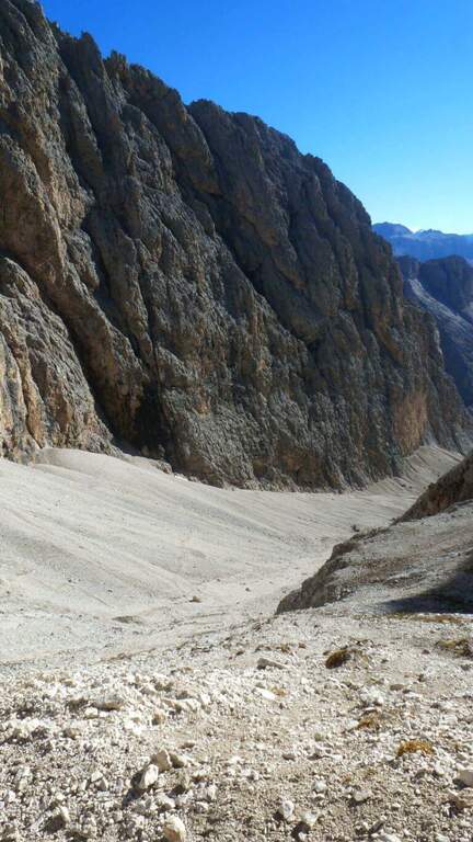
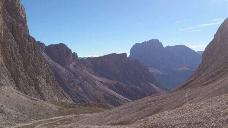
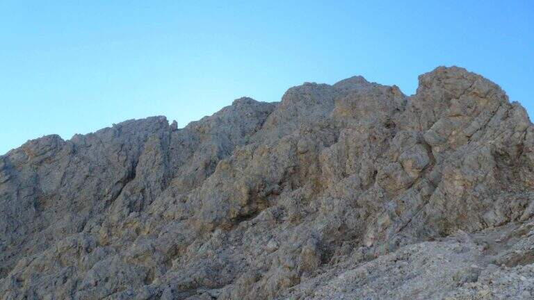
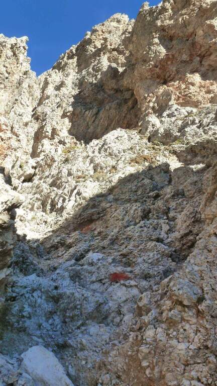
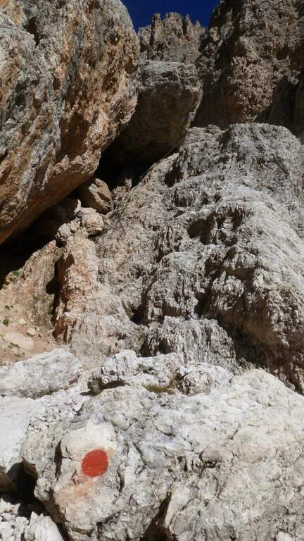
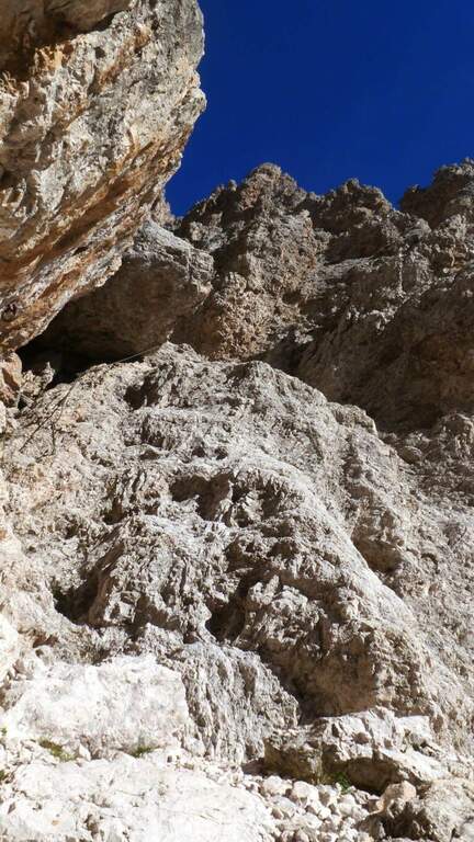
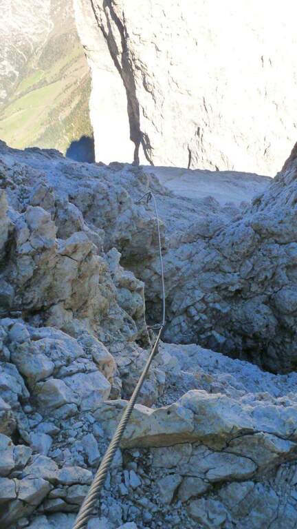
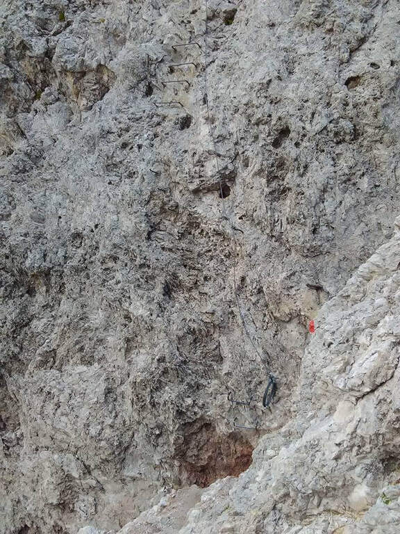
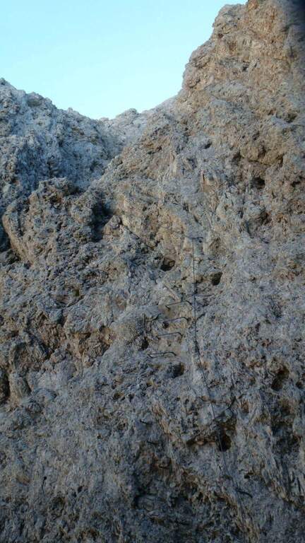
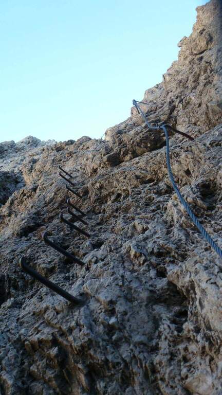
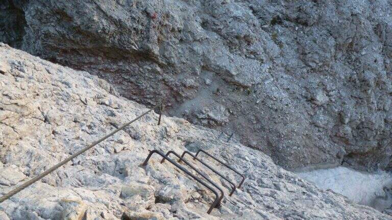
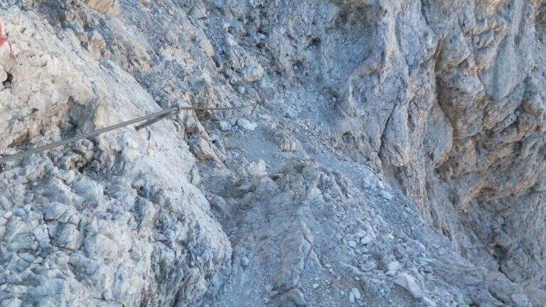
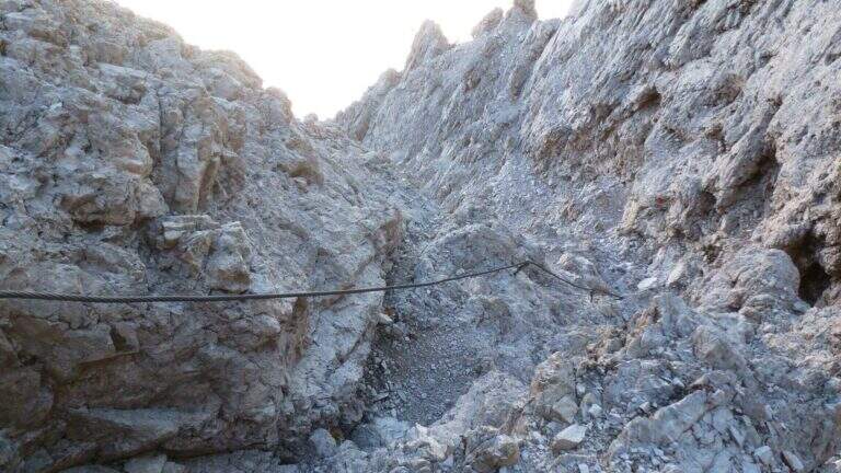
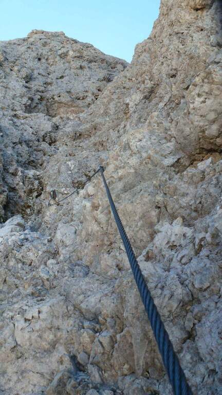
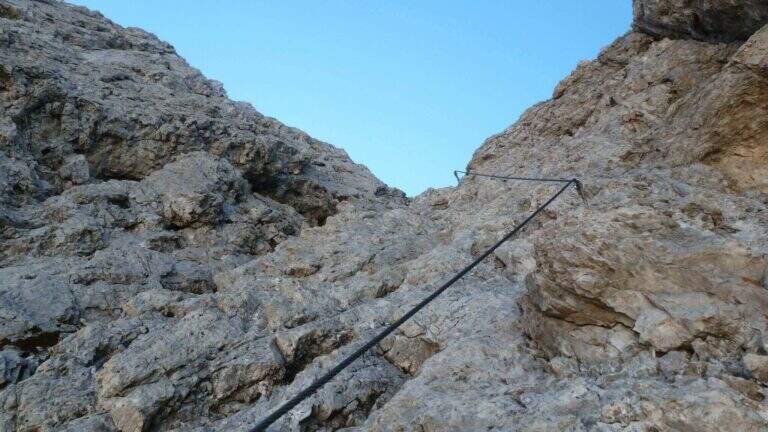
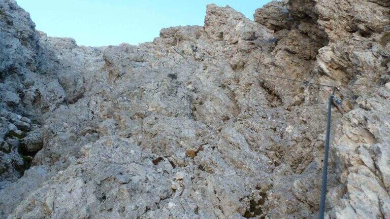
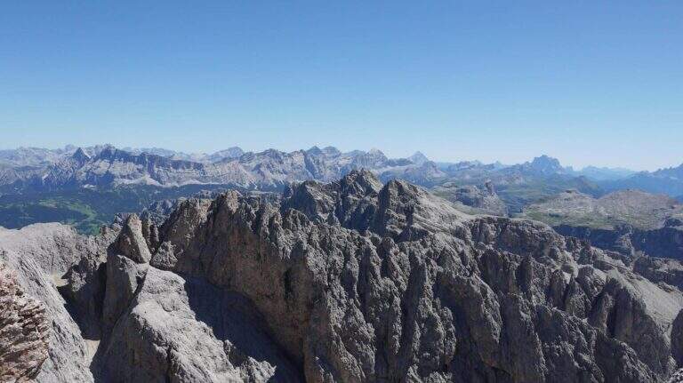
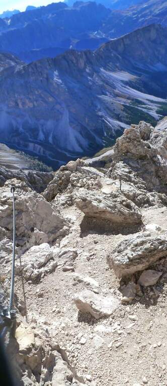
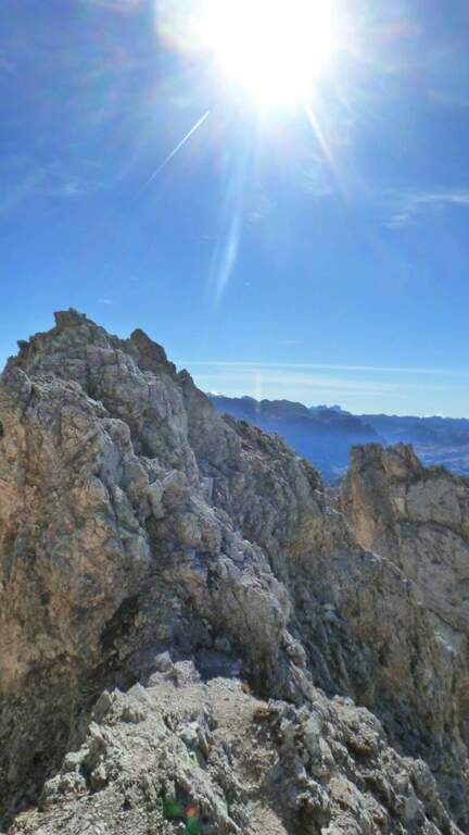
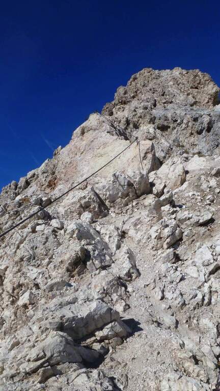
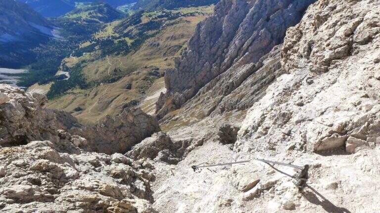
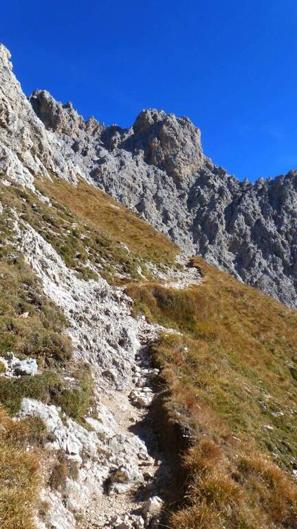
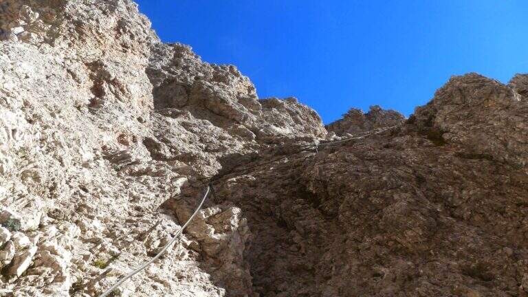
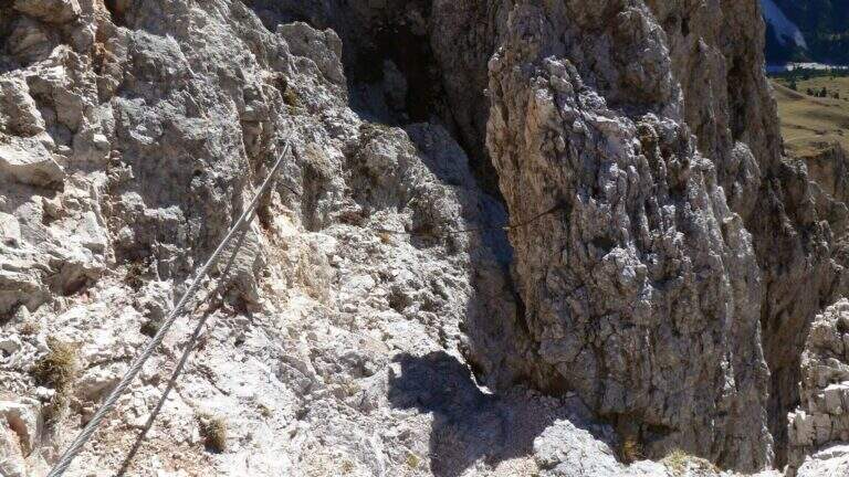
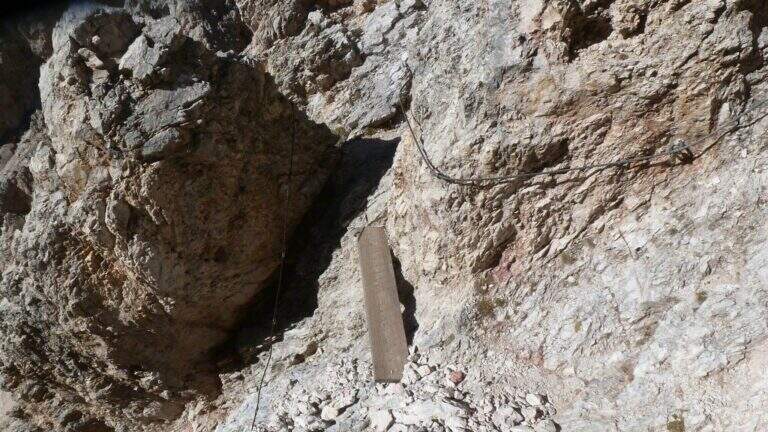
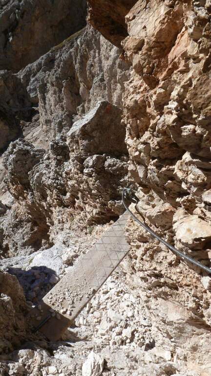
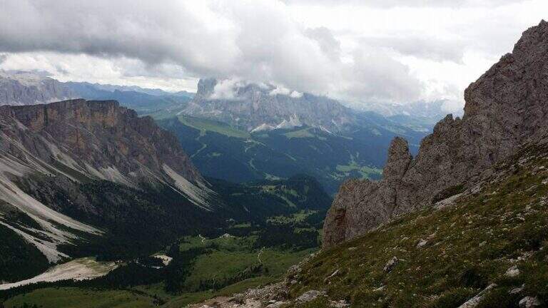
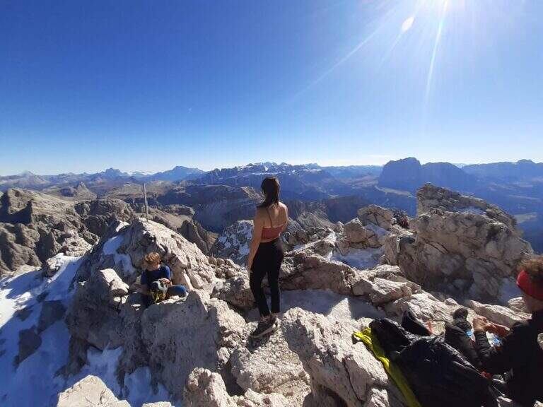
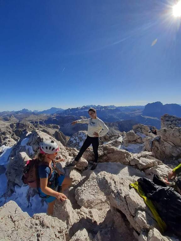
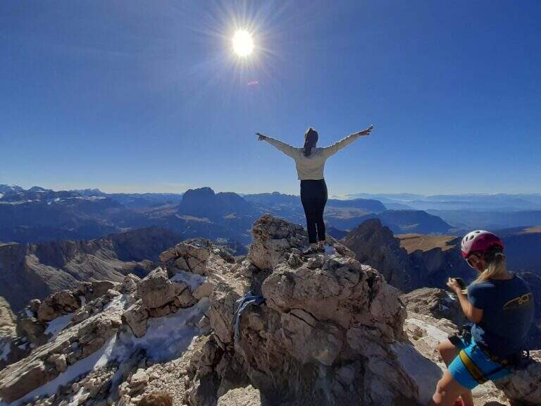
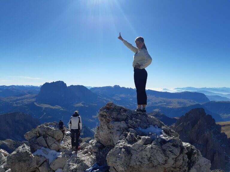
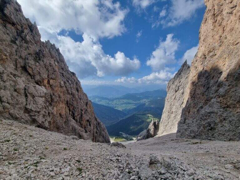
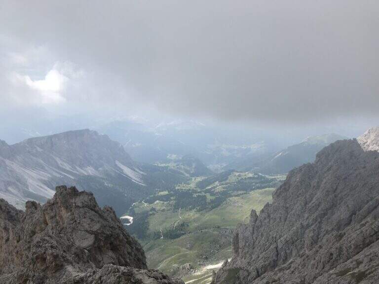
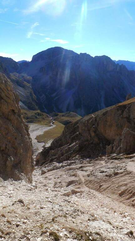
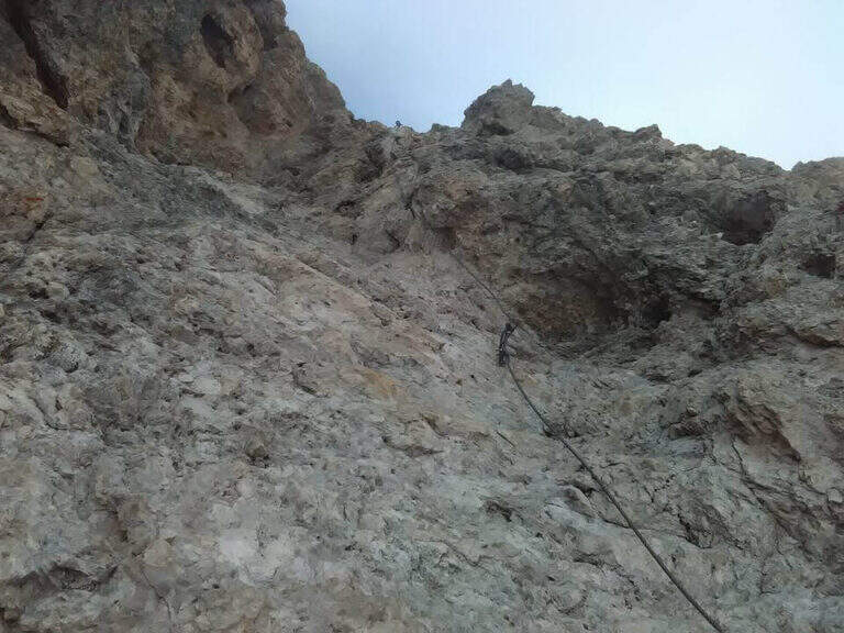
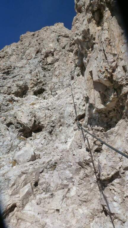
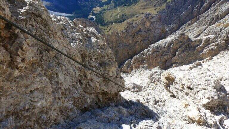
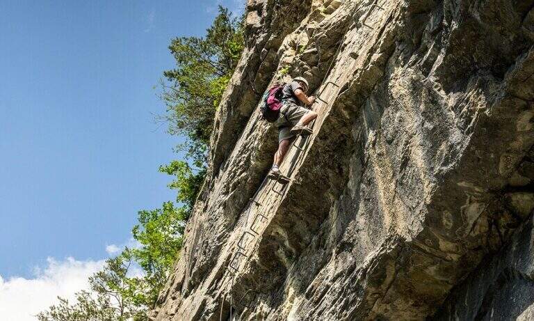
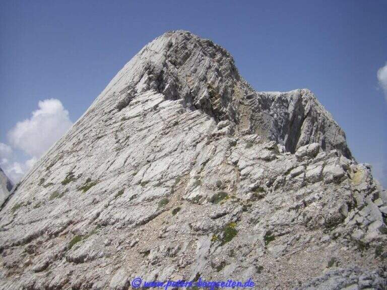
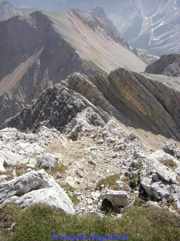
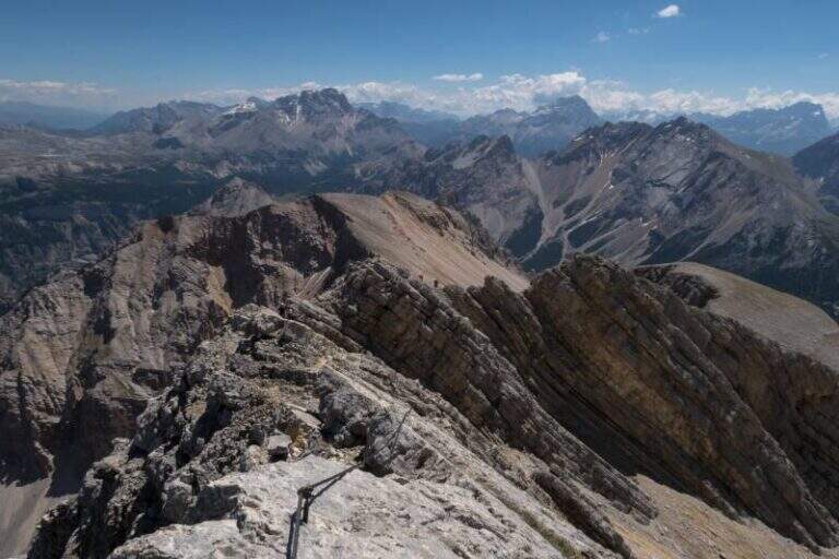
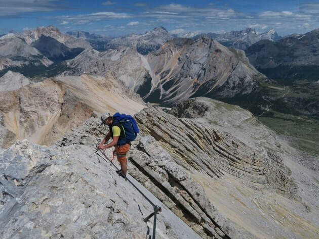
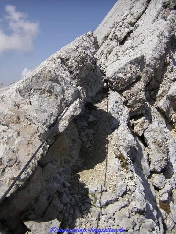
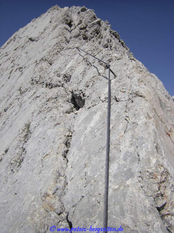
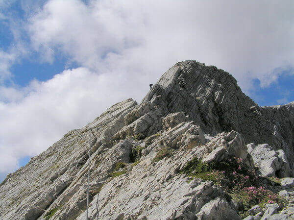
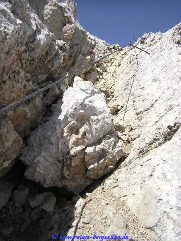
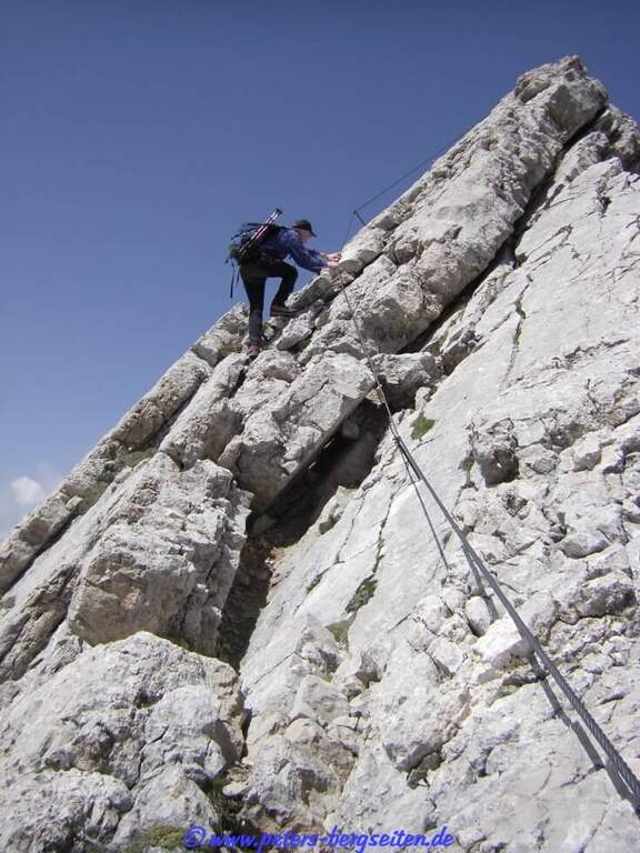
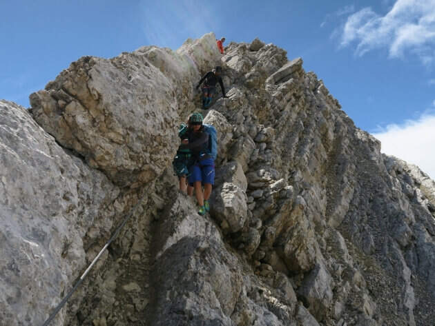
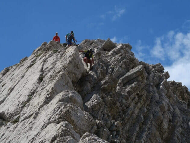
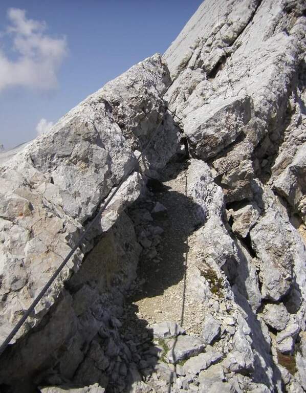
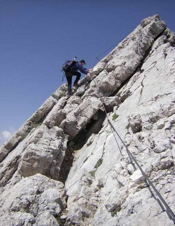
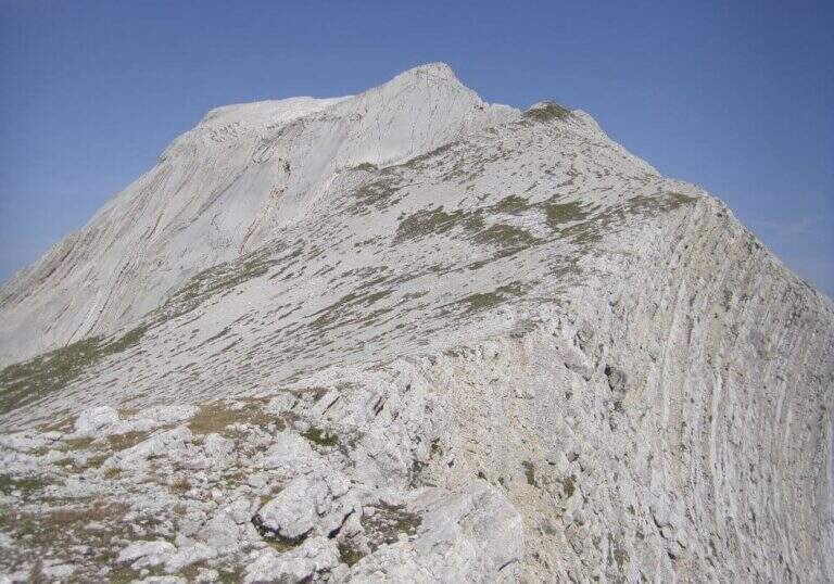
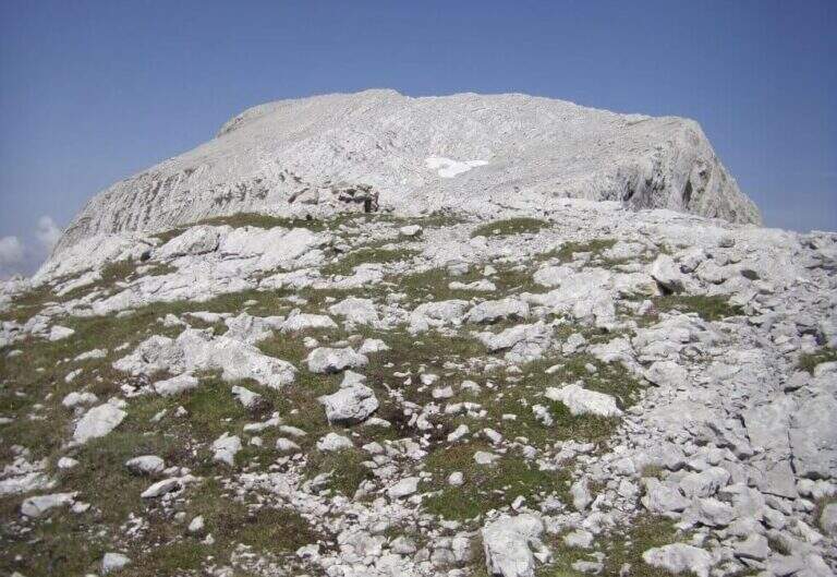
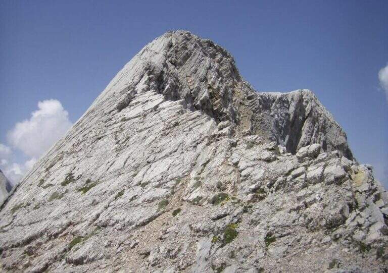
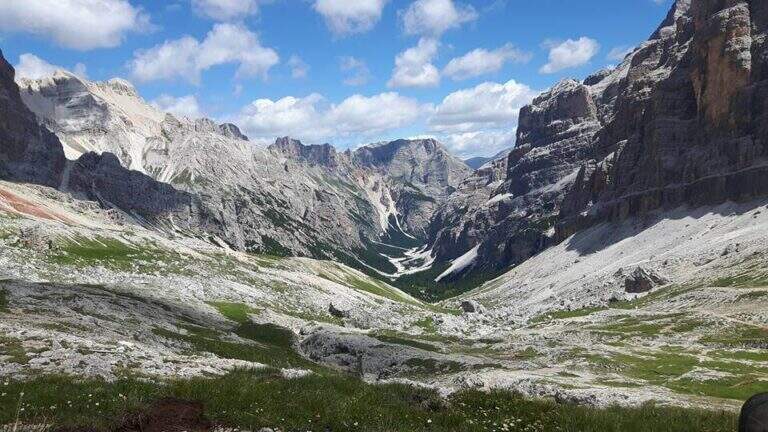
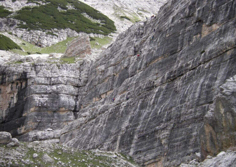
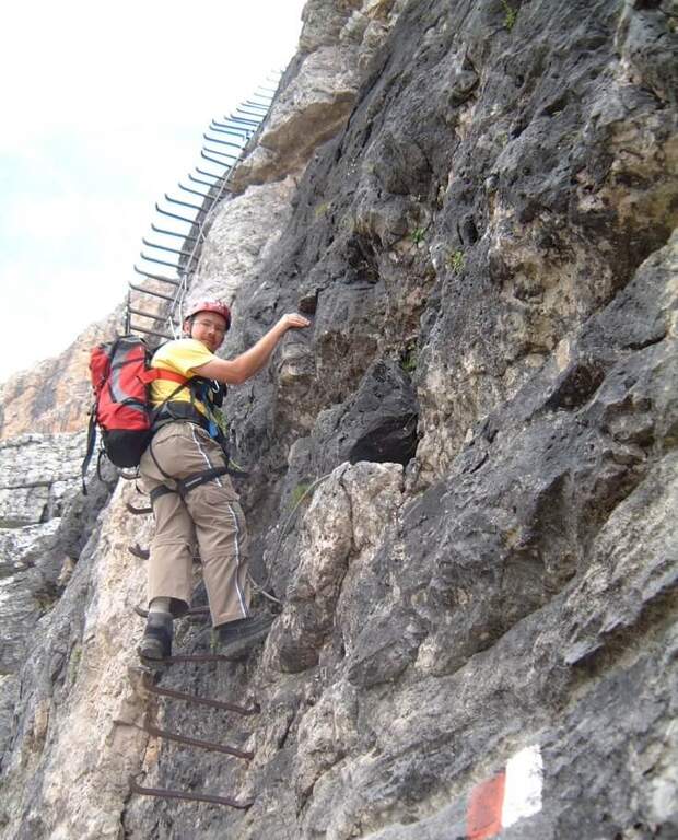
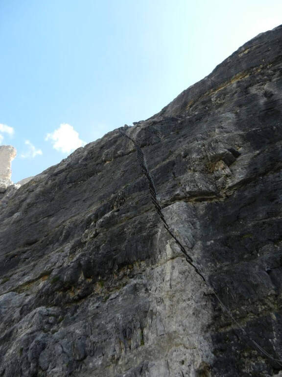
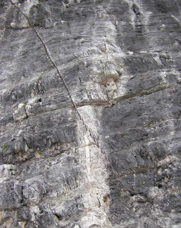
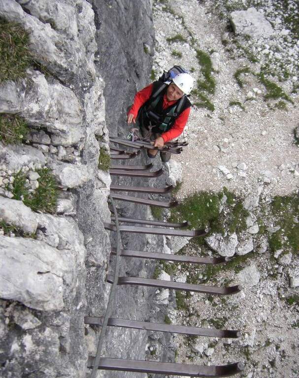
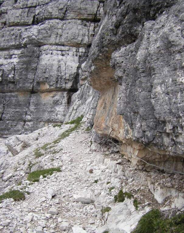
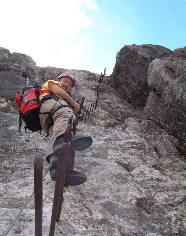
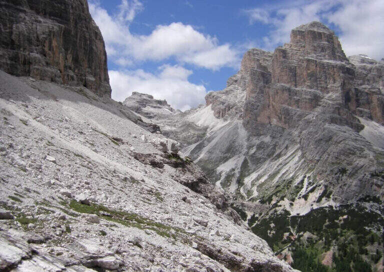
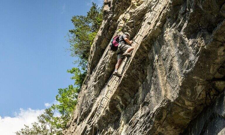
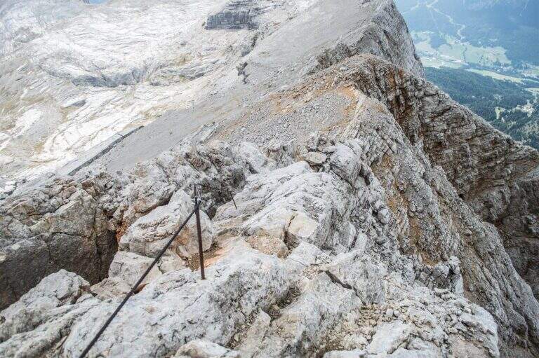
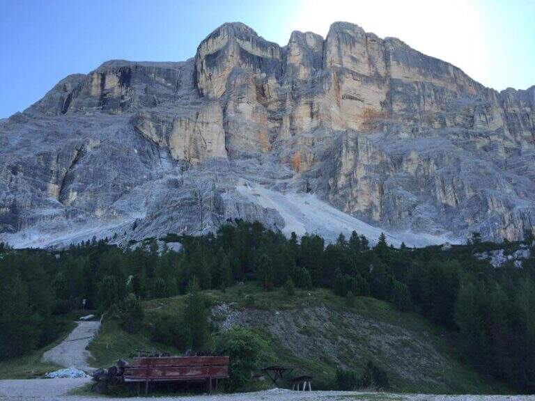
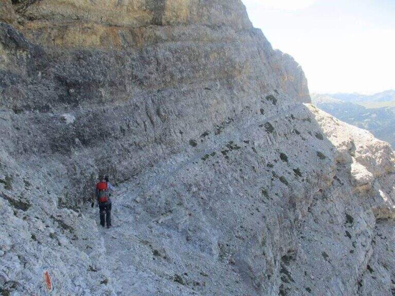
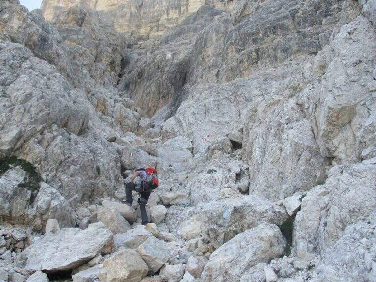
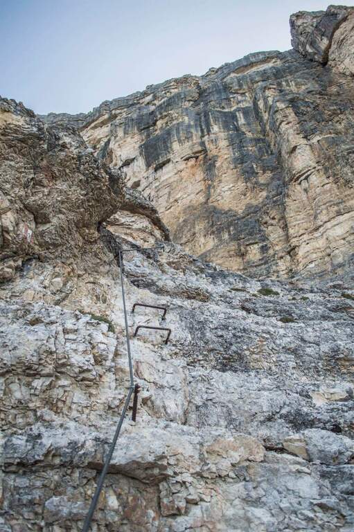
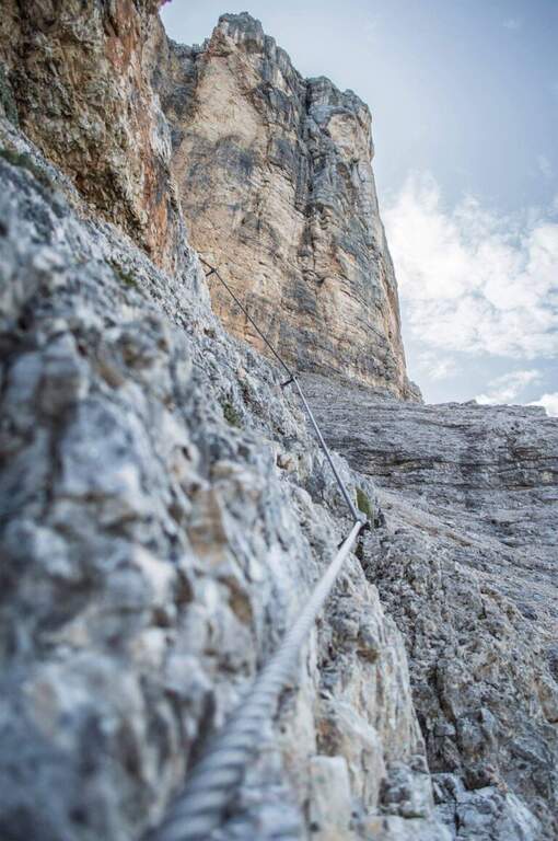
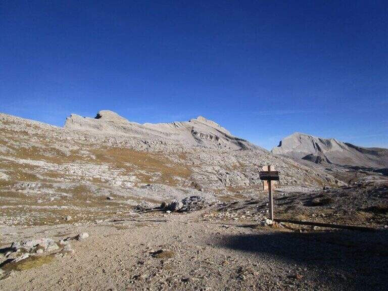
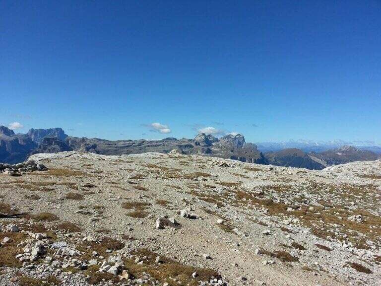
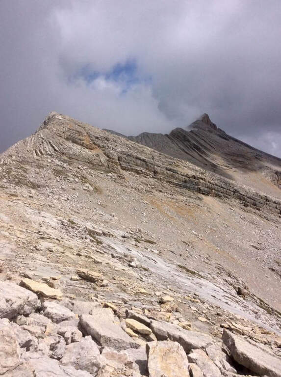
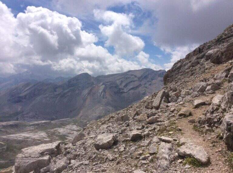
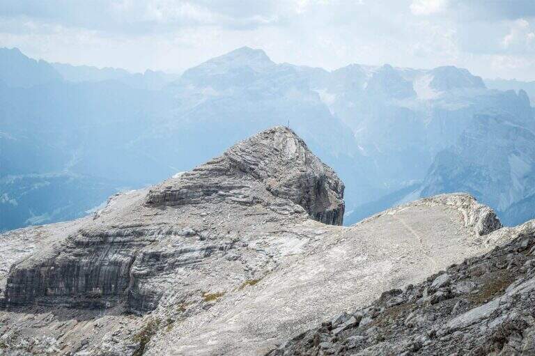
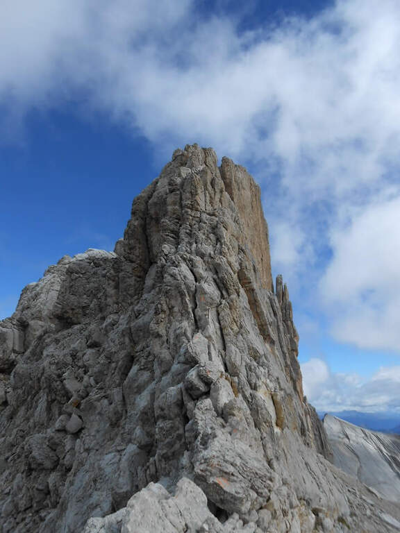
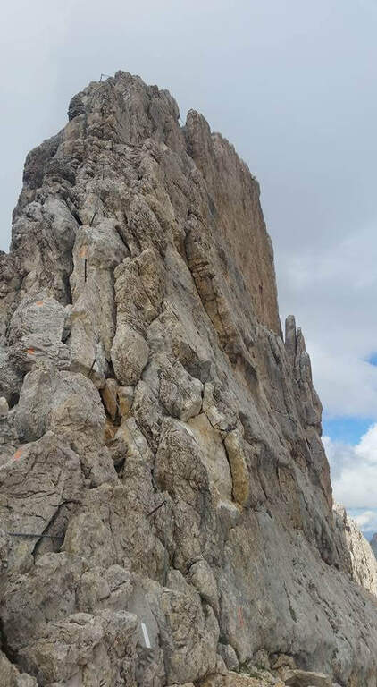
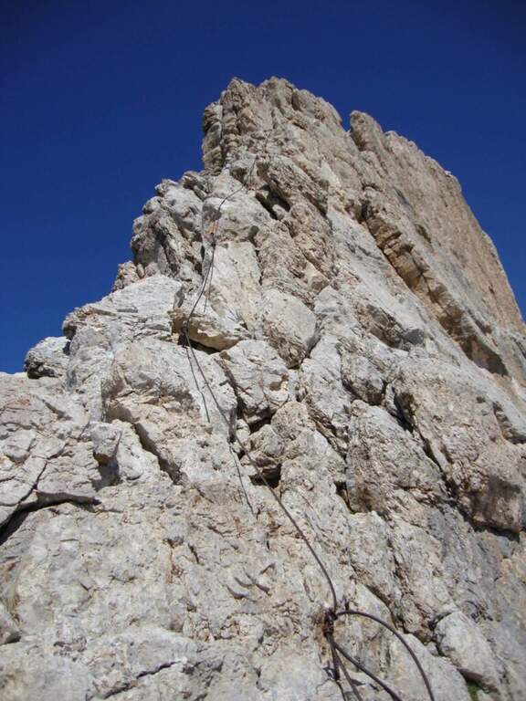
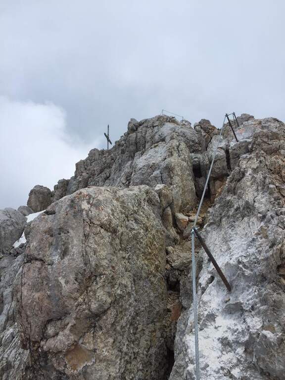
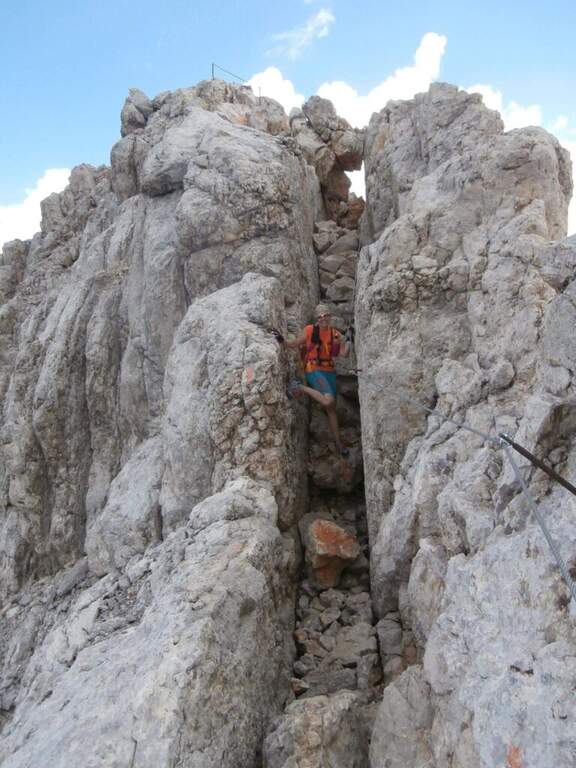
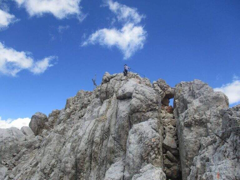
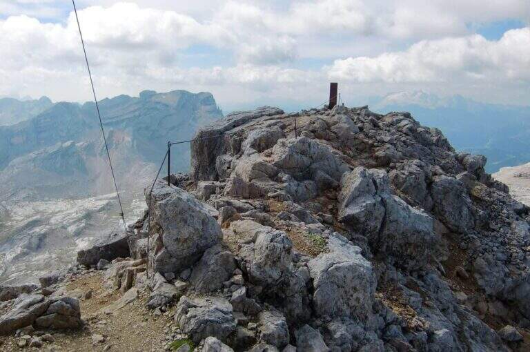
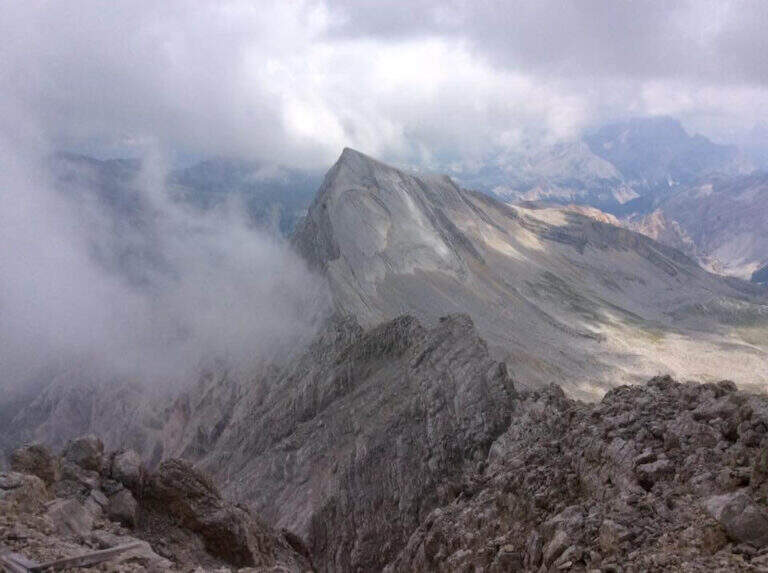
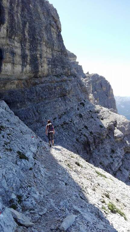
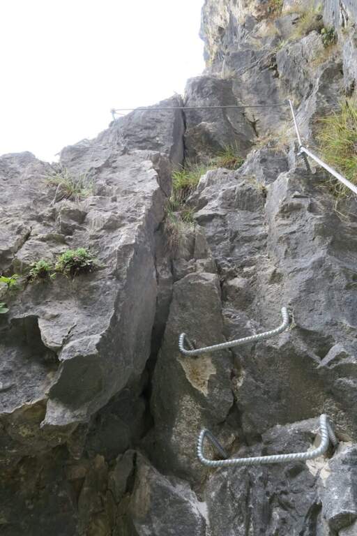
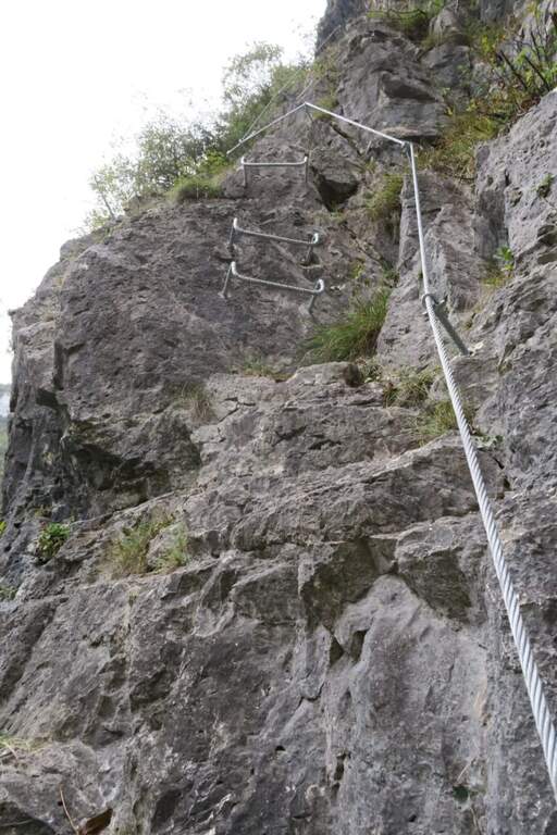
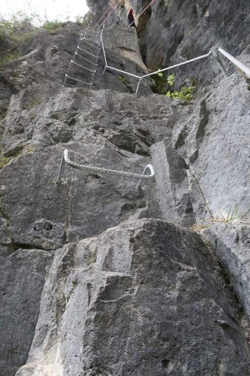
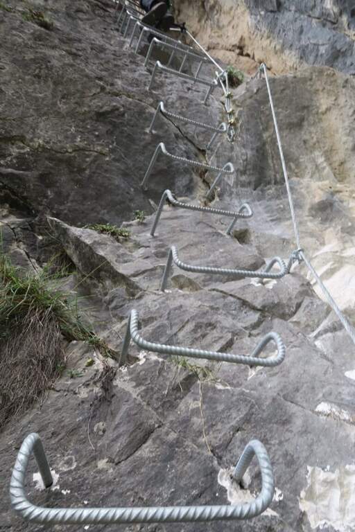
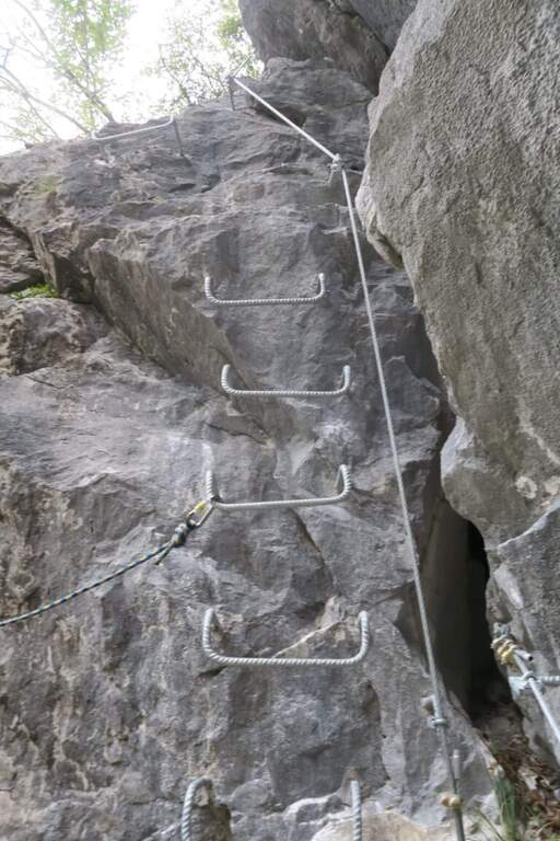
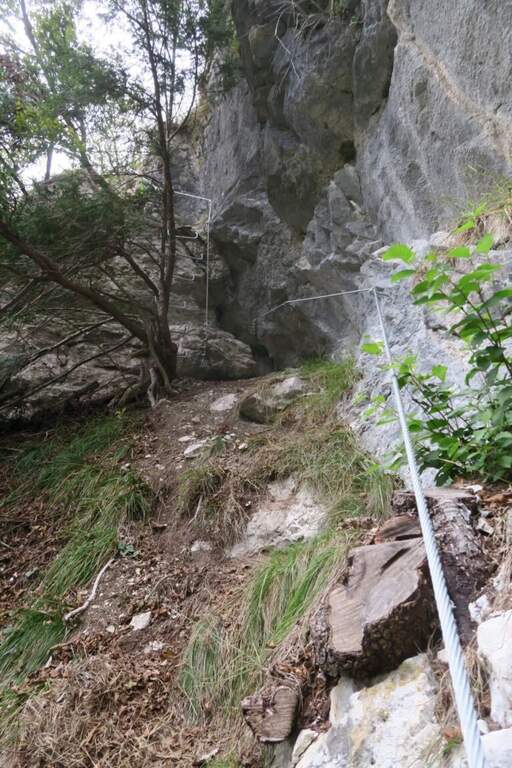
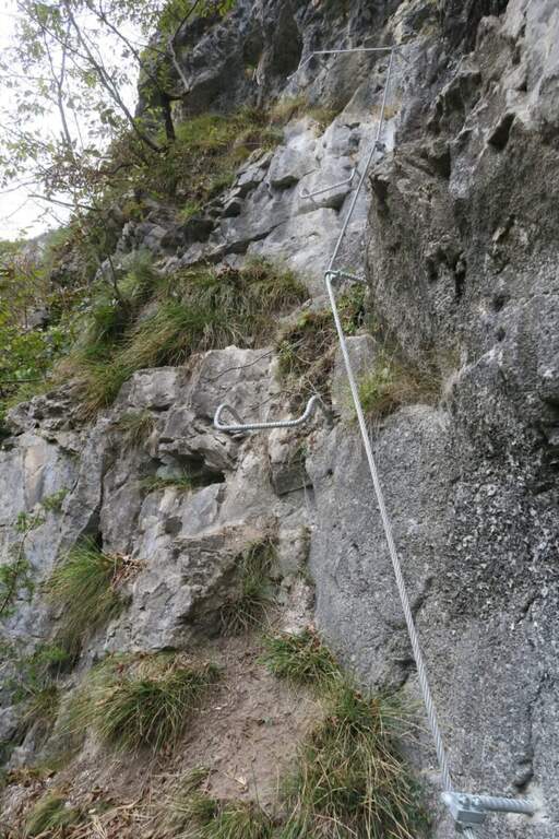
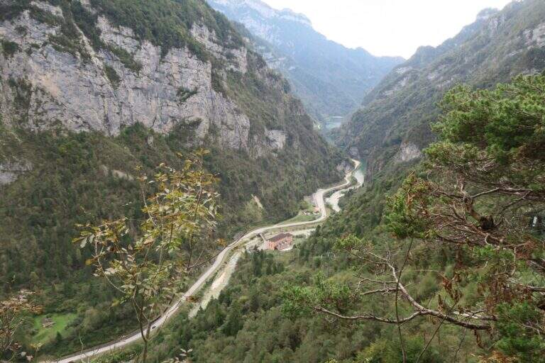
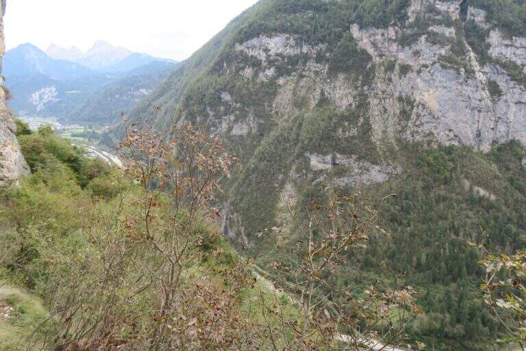
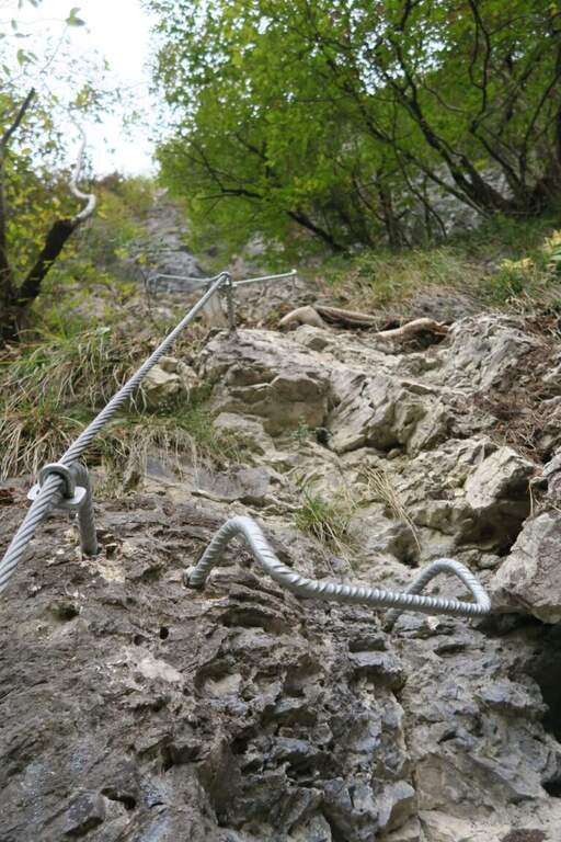
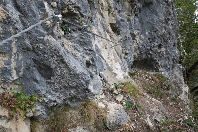
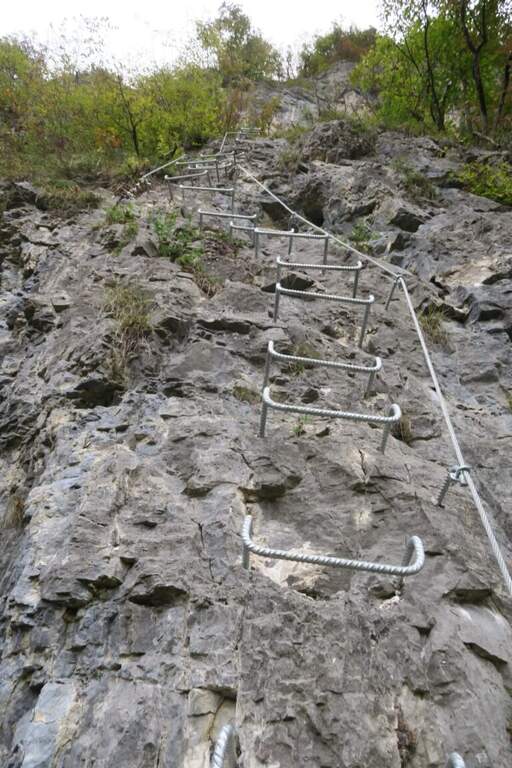
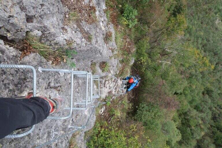
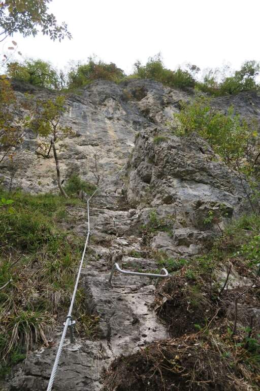
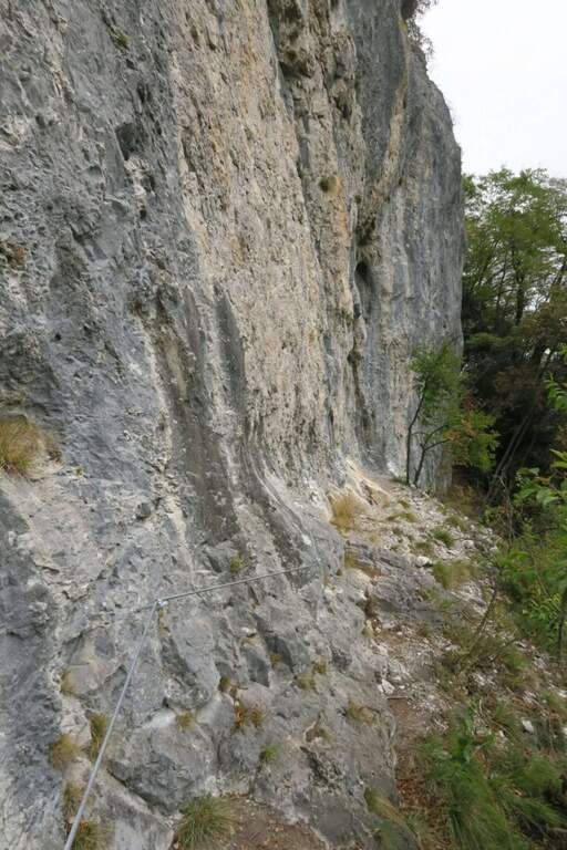
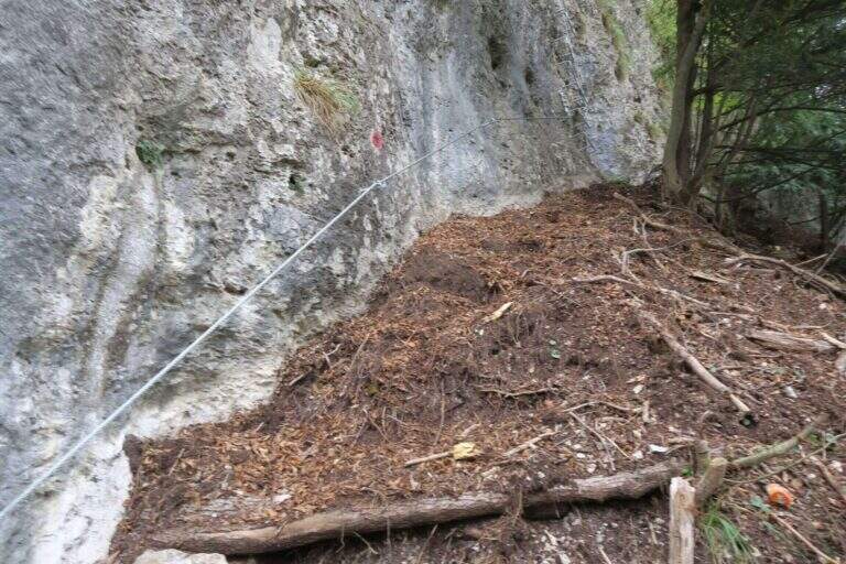
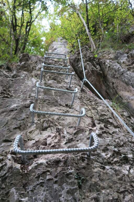
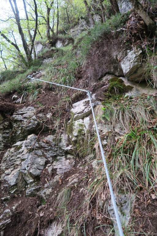
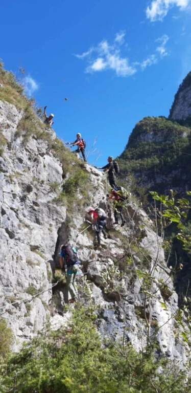
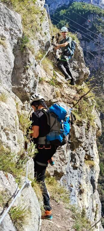
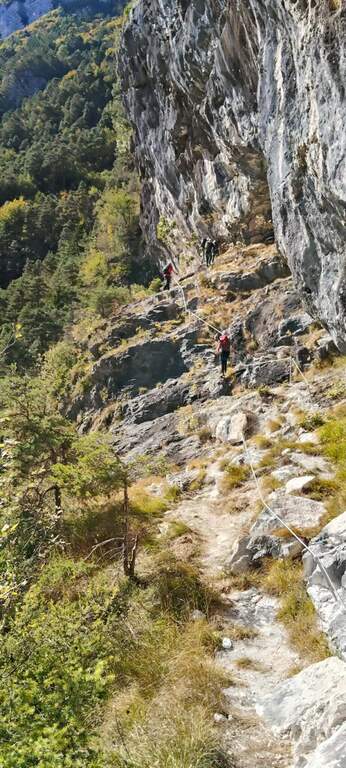
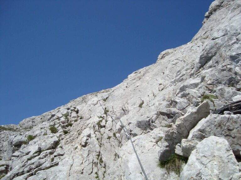
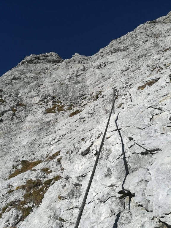
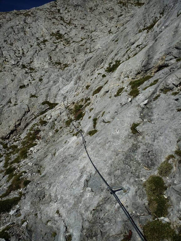
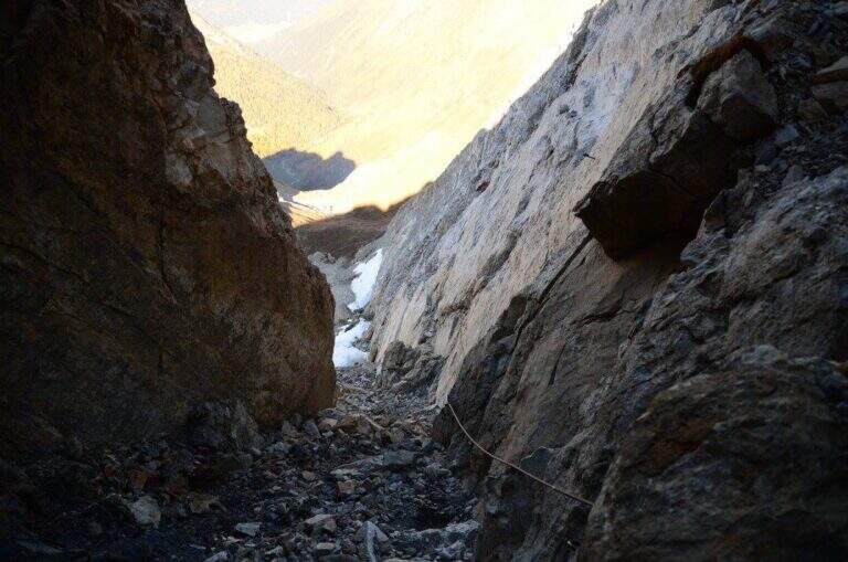
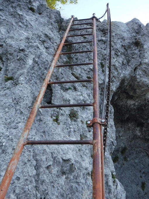
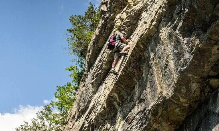
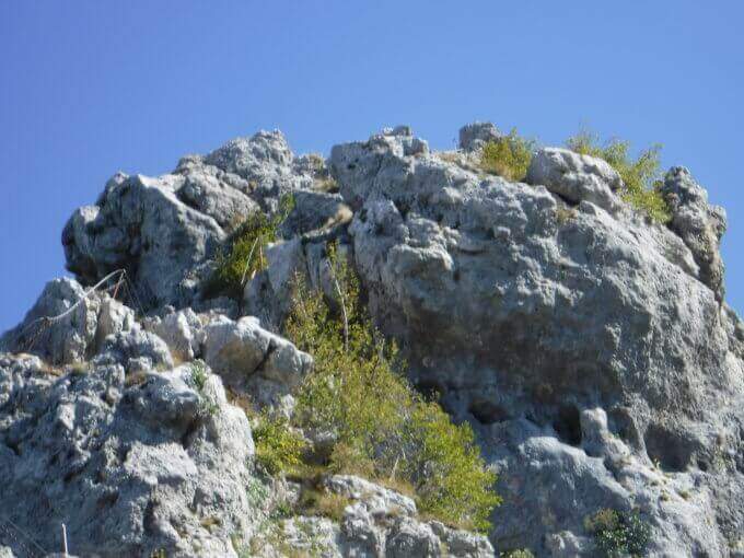
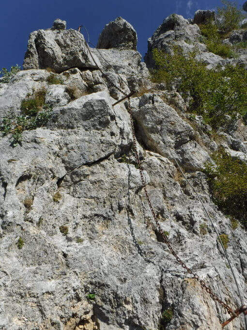
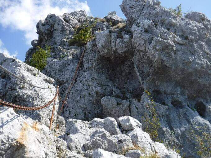
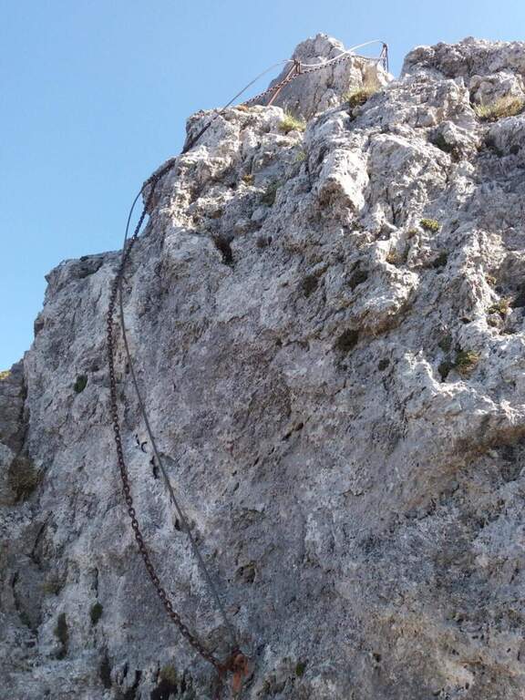
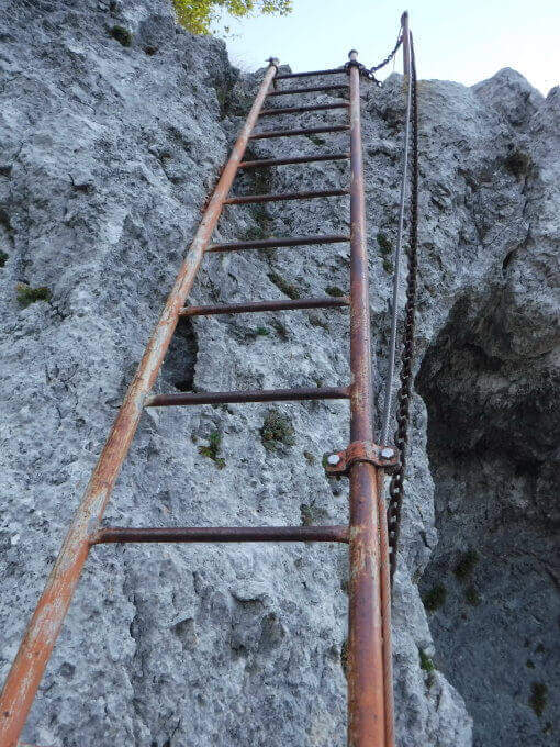
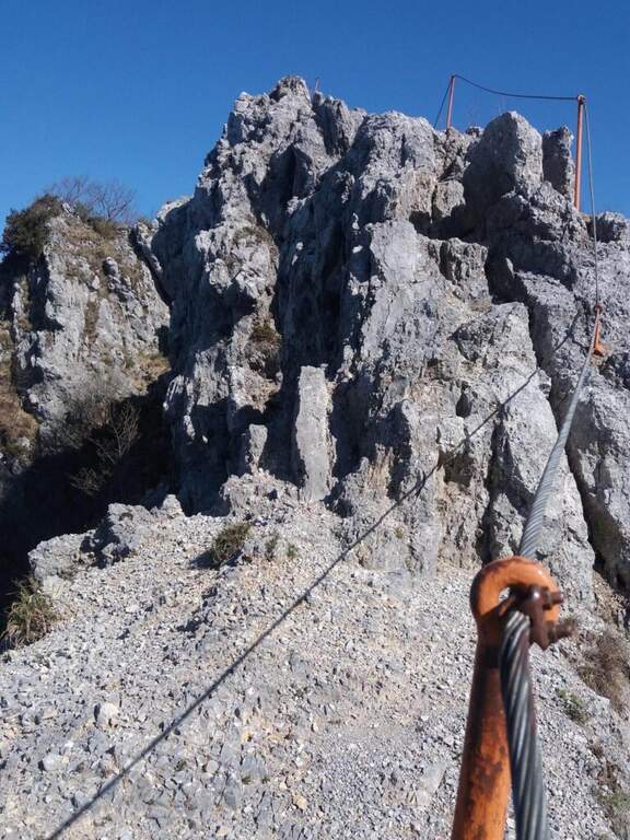
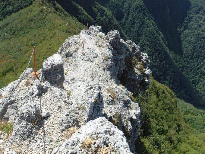
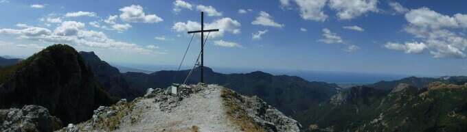
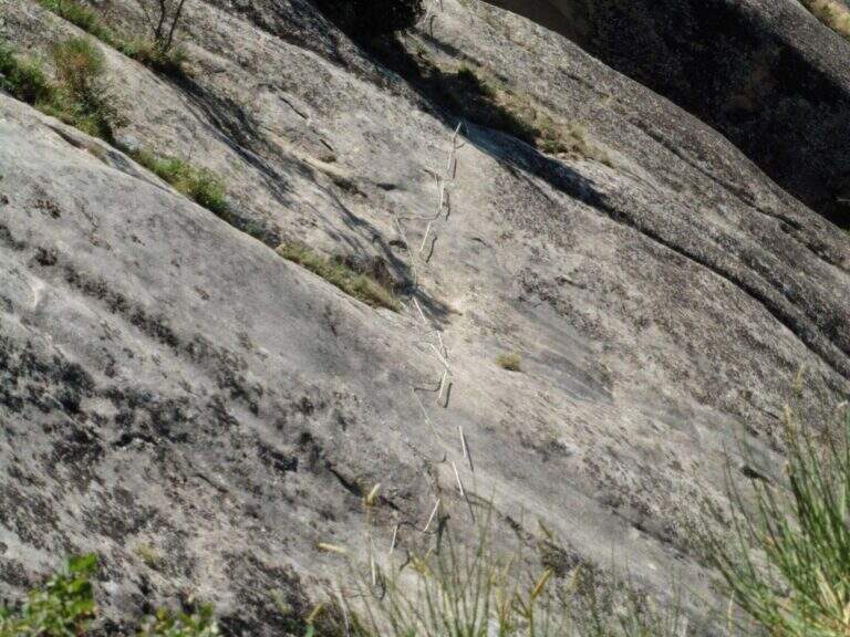
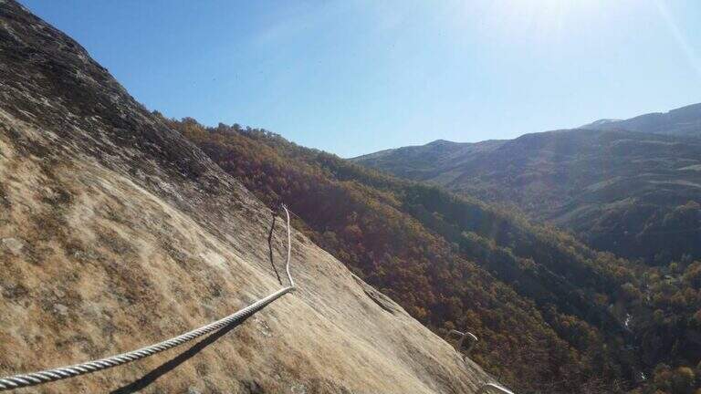
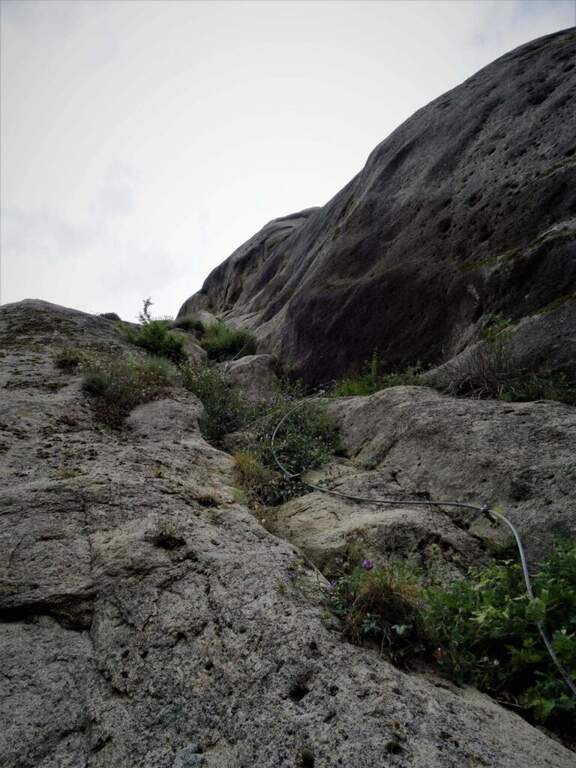
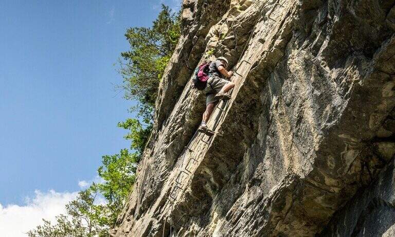
    La Ferrata at the Sora el Sas, near the Spitz of Mezzodì, è a facile street divided into two short sections: the first goes up a canalone, the second goes up to a panoramic pulpit called Belvedere. Adapted to the neophytes, it offers beautiful views of the Dolomites of Bellunese.

    ▲Approach

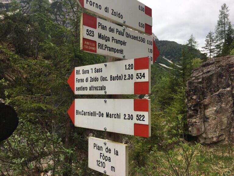
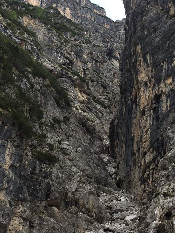
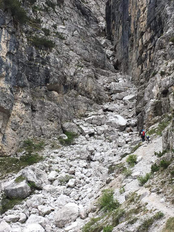
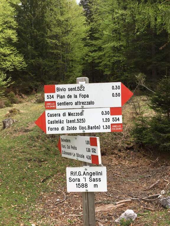
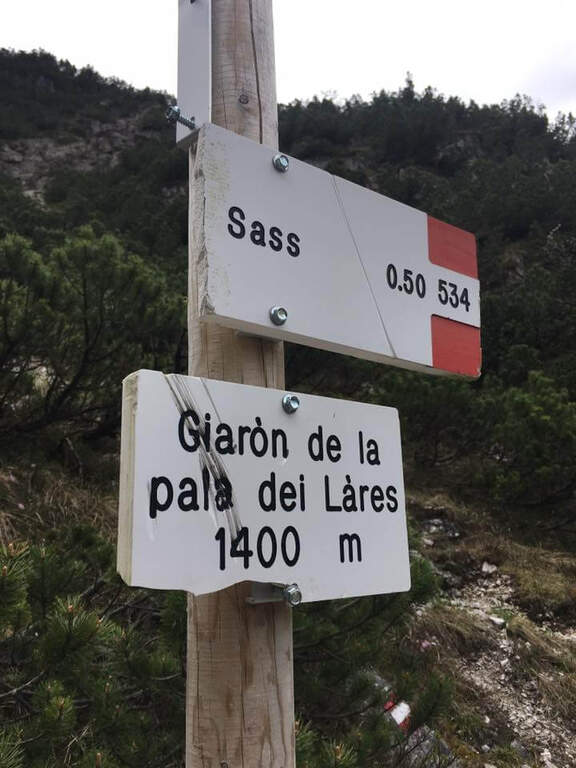
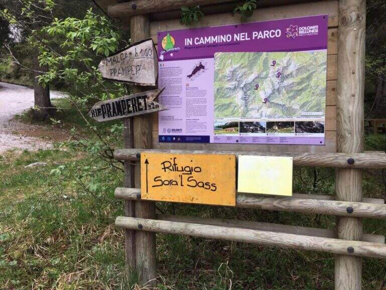
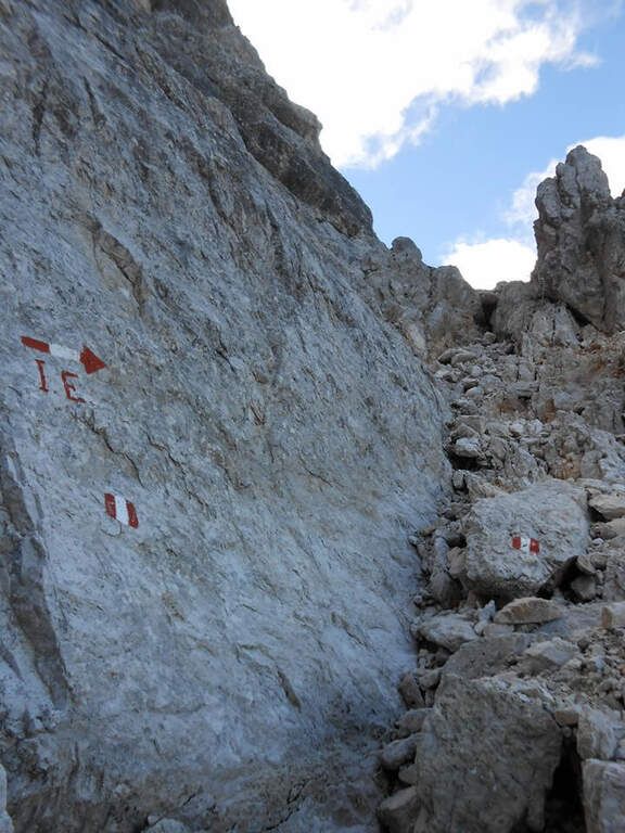
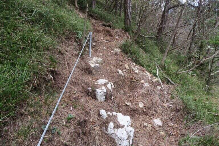
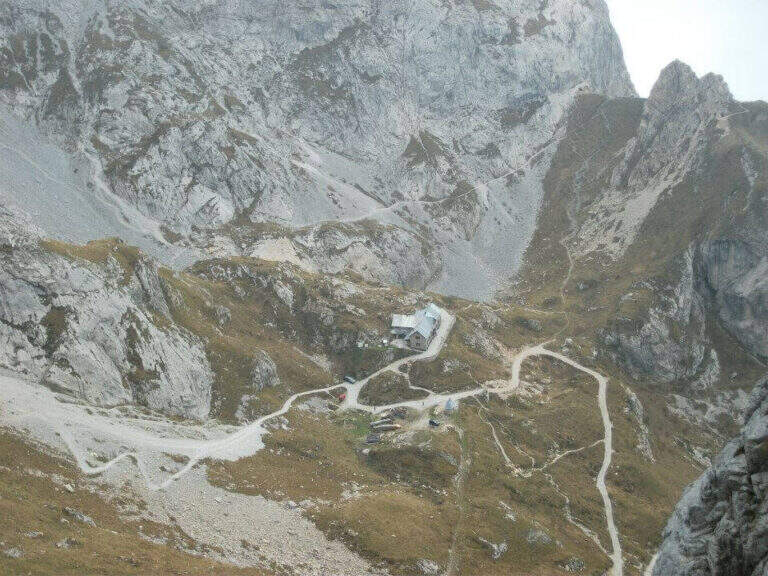
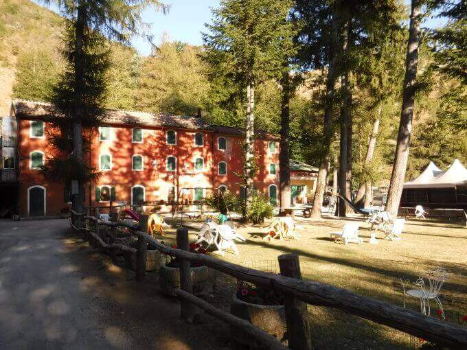
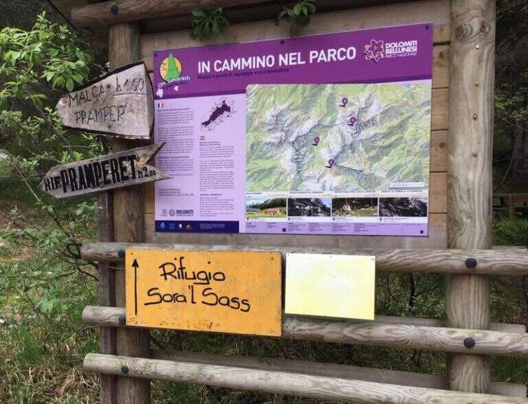
    Starting point parking in the village of Pian de la Fopa, in Val Pramper south of Forni di Zoldo (Belluno): in the village follow the signs south towards the Rifugio Pramperet, then at a crossroad take the secondary road (in part dirt road but in good condition) to the Rifugio Sora el Sass, for about 4.5 km until the parking lot. Open road signs on Google Maps. Follow the forest and then the CAI path 534 for the refuge Sora el Sass towards the walls of the Spitz of Mezzodì at a crossroads you leave 522 (to the Bivacco Carnielli) holding the left towards a shady canalone, up to the first equipment (45' from the parking lot).

    ▲The path

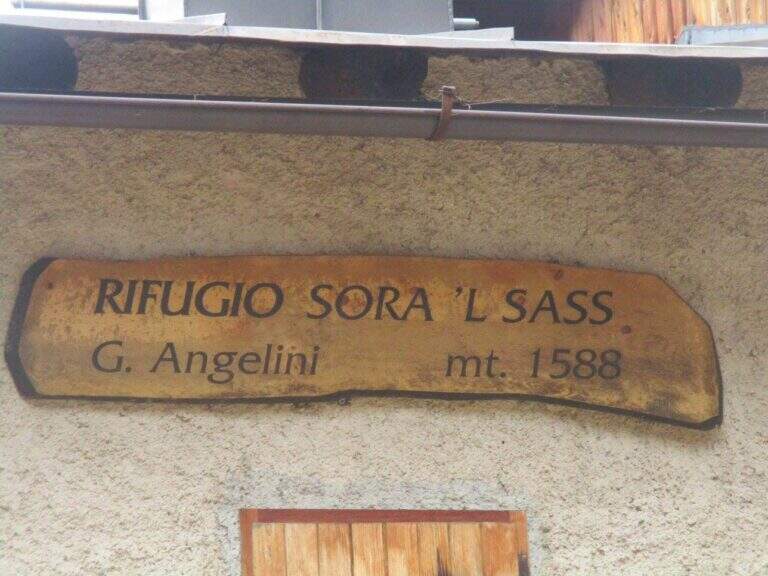
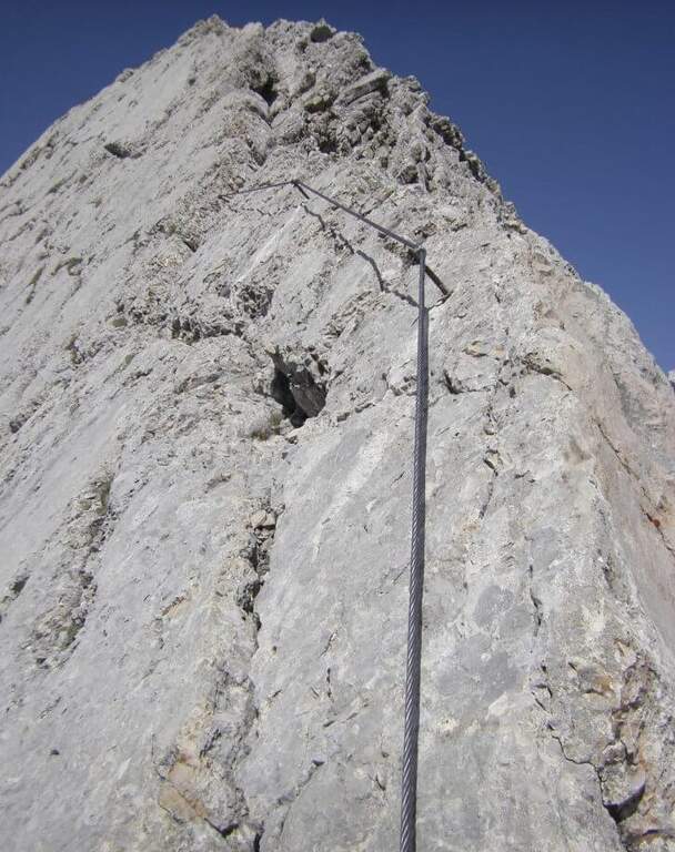
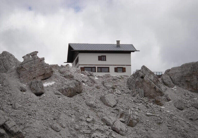
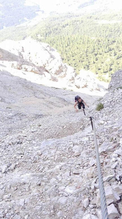
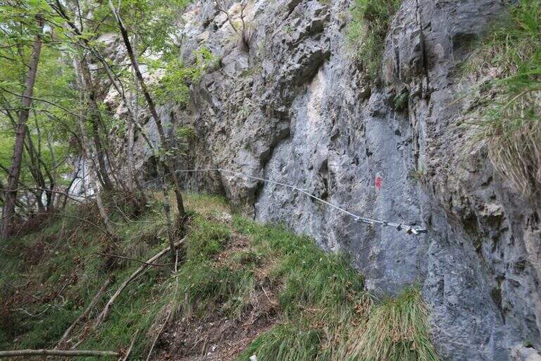
    La first section esce dal canalone con una rampa a sinistra priva di difficoltà e un facile canalino gradonato (attrezzatura a destra, appigli abbondanti a sinistra); si piega a destra per pochi metri e poi su comoda cengia a sinistra, si aggira uno spigolo e si salgono roccette ben appigliate, arrampicabili (attenzione al fondo di ghiaino instabile, rischio di smuovere detriti). Una facile placchetta e una cengia a sinistra chiudono le attrezzature (20' dall'attacco); su comodo sentiero si raggiunge il Rifugio Angelini (Sora el Sass, 1588 m, 1h 30' dal parcheggio). Da qui si può rientrare oppure proseguire verso il Belvedere col CAI 532: a un bivio si sale a destra per il sentiero attrezzato (per scendere poi dalla via normale), superando un balzo verticale ben appigliato, una cengia, un canalino e un balzo più marcato, fino al Belvedere, punto panoramico sui gruppi bellunesi con il Pelmo in evidenza (1965 m, 45' dal rifugio, 2h 15' totali).

    ▲Character and difficulty

    Easy itinerary, ideal for neophytes and families.

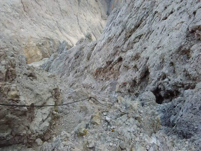
    ⚠ At the beginning of the season the canalone can still be snowed: it is useful to have the ramps. The equipped sections are quite dirty with debris material: pay close attention not to move stones.

    ▲Period and safety

    An official GPS track is not available for this route. The map of the 4Land Dolomites is useful.

    ▲Discipline

    Dal Belvedere si scende sul lato nord per sentiero facile, si aggira il Belvedere e si rientra al Rifugio Angelini (45' dalla vetta); per chiudere l'anello si prosegue verso nord sul CAI 534 verso la Casera di Mezzodì, scendendo il ripido Vallon Piccolo a tornanti, poi sul 525 fino alla forestale e in salita al parcheggio (1h 30' dal Rifugio Angelini, 4h 30' totali).

    ▲To match

    The way is in the Pramper group. To the west the Civetta and the Moiazza with the difficult Constantine, Titus, Alleghesi e Yellow Flames; to the south Ferrata della Memoria al Vajont e la Val Gallina; northwards Vandal and the impegnative Ferrata at the Glacier of Antelaoto Agordo Alpine star at Agner.
    ▲Gallery
    Technical data
    • DifficultyEasy
    • RegionVeneto
    • GroupPrampering
    • Approach0:45 h
    • Ferrata1:15 h
    • Itinerary (a/r)4:30 h
    • Hardware level difference200 m
    • Route difference764 m
    • Max1964 m
    • Length6 Km
  • Ferrata del Somator (Monte Biaena)

    Ferrata del Somator (Monte Biaena)

    Vie Ferrate › Trentino-Alto Adige › Trento
    Ferrata del Somator (Monte Biaena)

    La Somator Ferrata ` a pleasant ring itinerary at Monte Biaena, in the Gardesane Prealps between Rovereto and Riva del Garda. È a facile street: some elementary rocky ridges are equipped with brackets and cambres to facilitate hikers, and l' environment with lake view makes it an ideal destination for families.

    ▲Approach

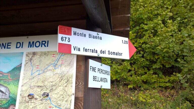
    Starting point is the parking of the Restaurant Pizzeria La Baita, between Ronzo-Chienis and Castellano (Trento). Open road signs on Google Maps. From the parking lot follow the CAI signs 671 on asphalt road to the east; the first crossroad to the left is ignored for the Path Attrezzato de le Laste (which will be the return) and, between the tracks that detach to the right, we start after a few minutes on the path 673, where the Somator Path begins (30' from'auto); wanting, a short deviation on 642 reaches the Malga Somator Refuge.

    ▲The path

    The path always remains quite easy, with some stretches that shrink and become equipped, a couple of easy vertical leaps and a canal. After passing the stretches, continue in view of Mount Biaena, with a beautiful view of the lake (1617 m, 1h 30' from'auto).

    ▲Character and difficulty

    Although known as «ferrata», the climb to Mount Biaena is an easy route, suitable for neophytes and families.

    ▲Period and safety

    GPS tracks (GPX and KMZ) are available; the map of Alto Garda and Valle di Ledro is useful for the area, or Pasubio and Vallagarina 4Land.

    ▲Discipline

    For the return you descend on the east side following the track 671; after about 10' the trail 678 is ignored on the left and continues in the forest with some easy stretches equipped up to a track and at the junction of the ' gone, returning all' car ( approximately 2h 30' totali).

    ▲To match

    Garda offers many similar routes: Ferrata Rio Sallagoni in Castel Drena, la Ferrata Colodri to Arco; on the western side the Susatti a Cima Capi e l'Friendship in Cima Sat; for a higher degree the Marangoni to Mori.

    ▲Gallery
    Technical data
    • DifficultyEasy
    • RegionTrentino-Alto Adige
    • GroupPrealps Gardesane
    • Approach0:30 h
    • Ferrata1:00 h
    • Itinerary (a/r)2:30 h
    • Hardware level difference70 m
    • Route difference315 m
    • Max1617 m
    • Length4,5 Km
  • Ferrata Sass Rigais

    Ferrata Sass Rigais

    Vie Ferrate › Trentino-Alto Adige › Bolzano
    Ferrata Sass Rigais
    Moderately Hard● OpenDescriptionComplexityMapsGallery

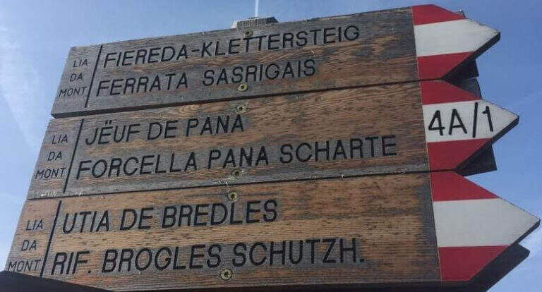
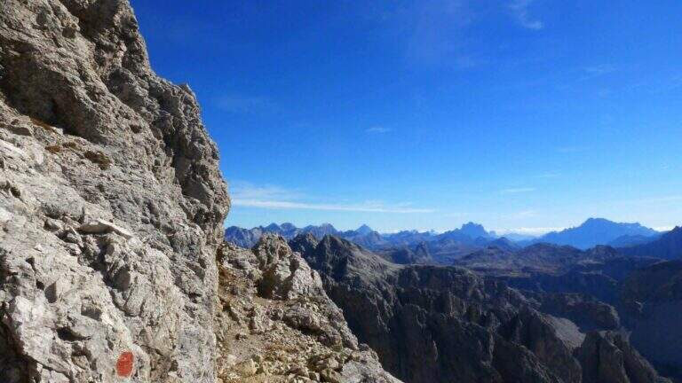
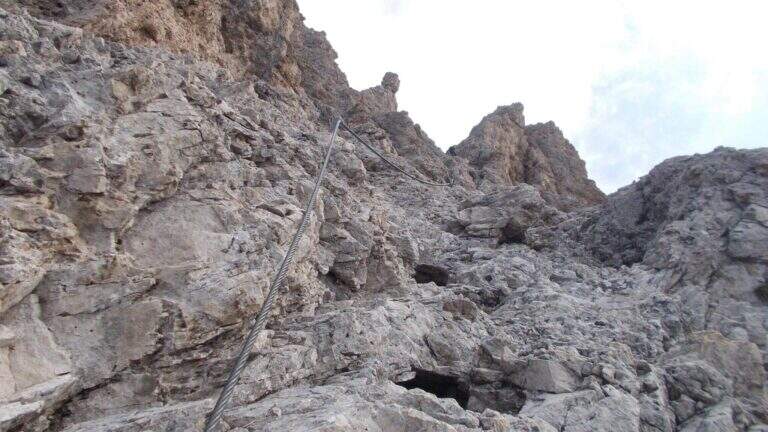
    La Ferrata at Sass Rigais door on the highest peak of Val Gardena and Odle, to 3025 m, combining two equipped routes: the ferrata est e la south ferrata. The difficulties are medium-low on both, but the east has more accentuated vertical traits and it is therefore advisable to go uphill. Approach and return are long and challenging.

    ▲Approach

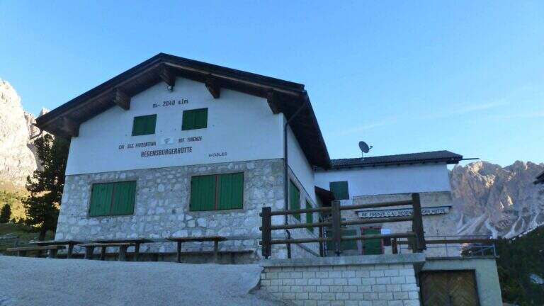
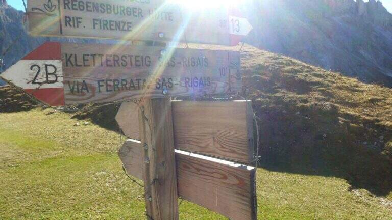
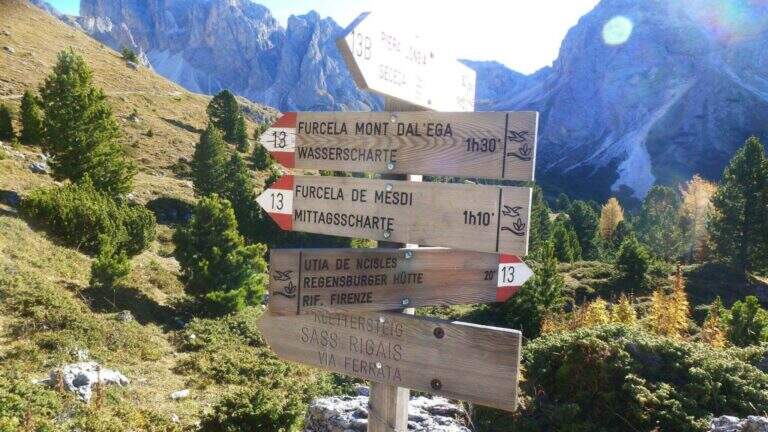
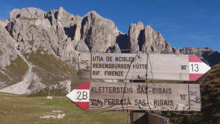
    Starting from the mountain station of the cable car that connects Selva di Val Gardena to the Rifugio Col Raiser (2106 m): from Selva you go towards Santa Cristina to the Strada Ruecia, where are the plants, parking in the wide beach in front. Open road signs on Google Maps. From the upstream station follow signs for Sass Rigais to the north-east, signpost 4, up to the Rifugio Firenze (2040 m), reached in a few minutes of ascents on road. From the refuge the path 13 punta dritto al Sass Rigais fino al bivio presso il Plan Ciautier (2322 m, 1h dalla stazione a monte): qui si può tenere la destra e salire il lungo vallone detritico della Val Salieres (per la ferrata est) oppure la sinistra col segnavia 29 verso la Forcella de Mesdì (per la ferrata sud). In questa relazione si sale dalla est e si scende dalla sud. Tenuta la destra e risalito il vallone detritico tra Sass Rigais e Furchetta, si raggiunge la forcella che li separa (2696 m, 2h 15' totali), con vista sulla Val di Funes; si tiene poi la sinistra per salire su traccia con bolli rossi la placca est fino alla sella d'attacco (2800 m, 2h 30' totali).

    ▲The path

    La east ferrata inizia su roccette ben appigliate, dove il cavo serve da sola autoassicurazione; si supera una fessura e una rampa verso sinistra fino a un punto verticale che si affronta con un breve traverso a sinistra su semplici chiodi e poi in verticale su ampie e solide staffe. Seguono ancora roccette senza difficoltà e un canalino roccioso verso destra; usciti dal canalino si vede la croce sommitale. Una serie di balzi rocciosi alternati a facili roccette porta alla crestina finale e alla croce del Sass Rigais (3025 m, 1h dall'attacco, 3h 30' totali). Per la discesa si imbocca la ferrata sud: ci si dirige a sud lungo una crestina sommitale a tratti non protetta, poi su una lunga serie di roccette, rampe inclinate e balzi di difficoltà medio-bassa con cui si perde rapidamente quota fino a innestarsi in un sentiero ripido; un ultimo balzo con una rampa e un salto più verticale presso una passerella in legno chiude le attrezzature (1h dalla vetta, 4h 30' totali).

    ▲Character and difficulty

    Medium difficulty Ferrata that leads on a three thousand of the Odle-Puez; the combination of a uphill road and a downhill road makes it pleasant also for the expert ferratista.

    ⚠ The approach is long and challenging. Attention to the quota and to the fact that there are no escape routes other than the ferrates themselves: to avoid with unstable time. Nothing prohibits taking the route in reverse direction or getting off the same way uphill.

    ▲Period and safety

    GPS tracks (GPX and KMZ) are available; the map of Val Gardena, Val di Funes and Alpe di Siusi or Val Badia di 4Land is useful for the area.

    ▲History

    Sass Rigais is the highest mountain in Val Gardena and Odle. Reinhold Messner went up with his father only five years, well before the construction of the via ferrata.

    ▲Discipline

    From the end of the equipment you descend to the valley for a gravel valley towards the Plan Ciautier; at a crossroads you can può keep the right for a shortcut marked towards the Col Raiser (reent about 1h, totale about 6h).

    ▲To match

    In Val Gardena you can join the ferrates Small e al Gran Cir near Selva; towards the Sella Group the overview Tridentine; towards Passo Sella, in an increasing order of difficulty Ferrata at the Col Rodella, la Schuster at Sassopiatto e la of the Mesules at the Piz Selva.

    ▲Gallery
    Technical data
    • DifficultyModerately Hard
    • RegionTrentino-Alto Adige
    • GroupOdle
    • Approach2:30 h
    • Ferrata1:00 h
    • Itinerary (a/r)6:00 h
    • Hardware level difference225 m
    • Route difference870 m
    • Max3025 m
    • Length9,7 Km
  • Ferrata Sasso delle Nove (Cima Nove)

    Ferrata Sasso delle Nove (Cima Nove)

    Vie Ferrate › Trentino-Alto Adige › Bolzano
    Ferrata Sasso delle Nove (Cima Nove)
    Moderately Hard● OpenDescriptionComplexityMapsGallery

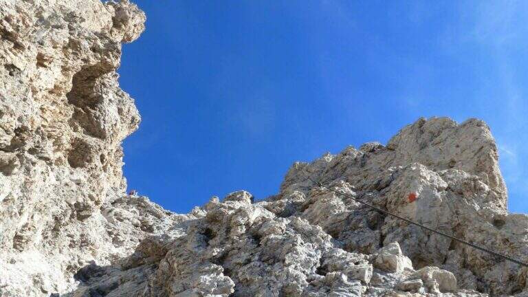
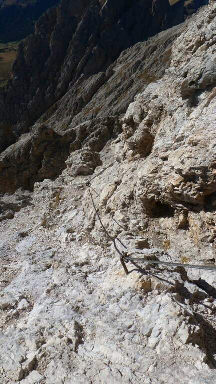
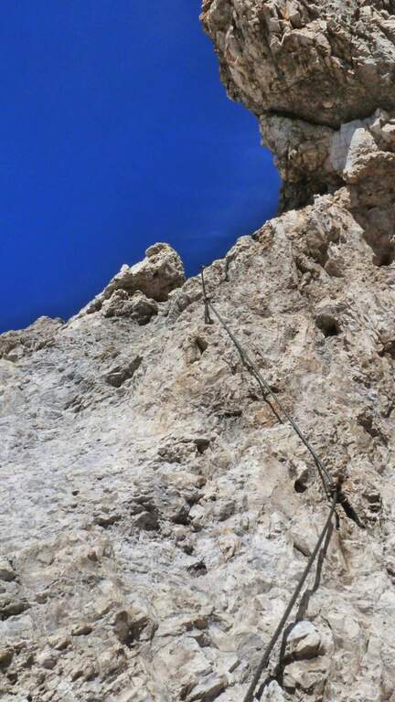
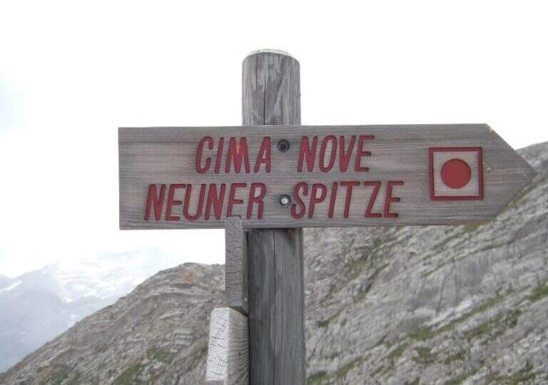
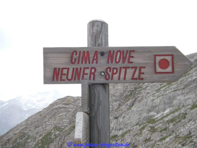
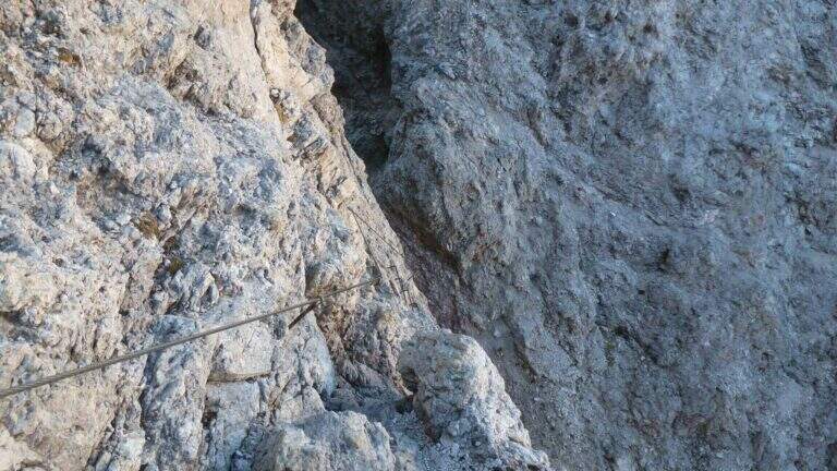
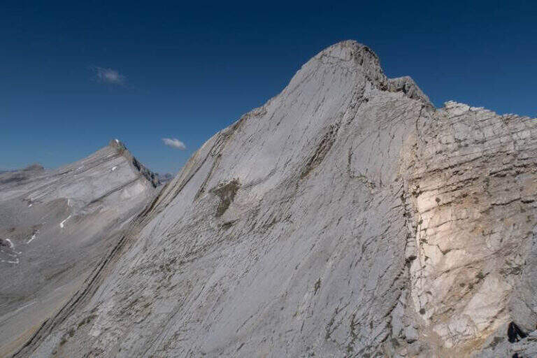
    La Ferrata in Cima Nove (Sasso delle Nove) is a short stretch equipped — the last 100 meters before the cross — placed at the end of a long and challenging high mountain route in Val Badia. Technically it is not prohibitive, but runs along a wall very exposed, especially on the southern placconata characteristic, in a solitary and austere environment with some exposed and unprotected passages. The summit touches the 2968 m.

    ▲Approach

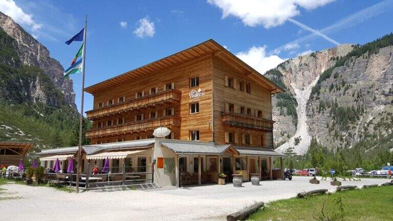
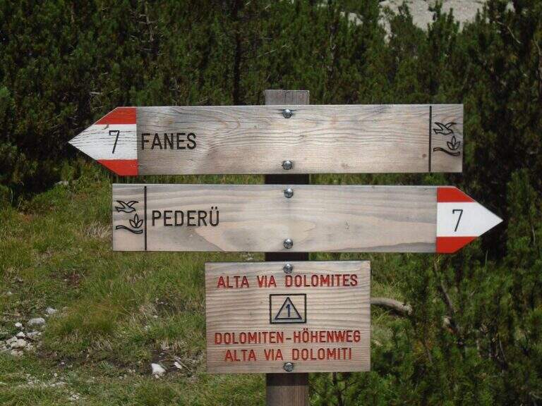
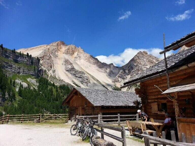
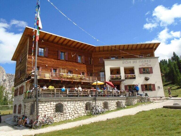
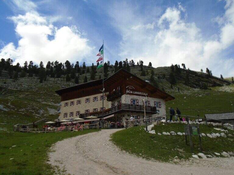
    Starting point the Rifugio Pederù (1548 m), reachable from San Vigilio di Marebbe following the signs «Pederù» già in the village, on asphalted road up to ' wide parking. Open road signs on Google Maps. From the hut follow the wide tourist path 7 to the south in the Fanes Valley, quickly touching the Pices Fanes Refuge (2007 m), the Fanes Refuge (2060 m, short optional deviation) and the Lavarella Refuge (2050 m, 1h 30' from departure). From here you take the marker 13 verso nord, a destra, sul Piano delle Sarenes, salendo costantemente fino al Passo di Sant'Antonio (Ju de Sant'Antone, 2466 m, 2h 30' totali). Si lascia il 13 e, seguendo il cartello, si sale verso est su un ripido ghiaione con alcuni bolli rossi e facili roccette fino a una sella prativa con vista su Cima Dieci e Cima Nove; qui i segni finiscono ma si segue a vista la cresta verso nord-ovest, fra precipizi su entrambi i lati, fino all'attacco delle attrezzature (2800 m, 3h 30' totali).
    ▲The path

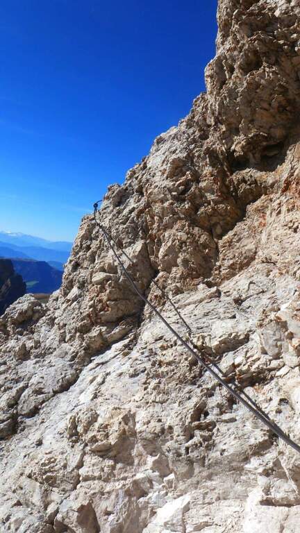
    The ferrata exceeds about 100 meters. The first sections ensure a well-graded crest near the precipice of the north wall, più similar to an equipped path; then you move on the south side, più exposed, where the cable continues without difficulty; techniques on moderate slope up to a rock where the cable stops and resumes two pi & pigrave meters; ahead. Here begins the più tract; interesting: a long and plane traverse to the left on a smooth placconata to be covered in adherence. The cable then goes up più vertical towards a stretch of very aerial edge, on strong exposure, up to a difficult & agrave medium camino; — the passage probably più technical, però enough supported. Un' last tilted plaque and some exposed top rocks close the equipment (45' from' attack). Continue on gravel slope to the cross of Cima Nove (2968 m, 15' from the end of the equipment, 4h 30' totali).

    ▲Character and difficulty

    The road does not have any technical difficulties but it develops on a very exposed wall, with smooth and vertical plates that can put in difficulty those who have little experience or non-stop foot; the equipped passages however alternate at times without difficulty.

    ⚠ The return takes place through the downhill ferrata, to be faced with great attention given the exposure. The excursion is long and, after the first shelters, quite isolated: to travel only with stable time. Downhill, on the top floor, with fog or low clouds be careful to locate the canal where the equipment runs.

    ▲Period and safety

    Alternatively, you can start from Spescia (1549 m) in Val Badia by steeply climbing the path 13 along the Fanes Valley to the Ju de Sant'Antone: shorter as a distance but more tiring and steep (about 7h a/r). GPS tracks (GPX and KMZ) are available; the 4Land Val Badia map is useful for the area.

    ▲History

    The Sasso delle Nove is a particular mountain: its long sloped southern wall was climbed by the Messner brothers with three itineraries of pure adhesion (Direttissima, Heidi, Placche), at the end of the Sixties real test benches, finally faced with rigid boots. The most repeated is today the very Direct Messner.

    ▲Discipline

    The return takes place back along l' ascent itinerary, including ferrata (3h 30' from the summit, 8h totali).

    ▲To match

    Cima Nove is the northern peak of the Sasso della Croce Group, where there is also the often combined ferrata at the Sasso della Croce and Cima Ten. Further south on the group run Sentiero Attrezzato Tru Dolomieu and the long Ferrata della Pace; towards Lake Braies easy Ferrata di Valdaora alla Cima dei Colli Alti and, at the Furcia Pass, the Ferrata at Piz de Peres.

    ▲Gallery
    Technical data
    • DifficultyModerately Hard
    • RegionTrentino-Alto Adige
    • GroupRock of the Cross
    • Approach3:30 h
    • Ferrata1:00 h
    • Itinerary (a/r)8:00 h
    • Hardware level difference110 m
    • Route difference1424 m
    • Max2968 m
    • Length19 Km
  • Ferrata La Scala del Menighel

    Ferrata La Scala del Menighel

    Vie Ferrate › Veneto › Belluno
    Ferrata La Scala del Menighel
    Moderately Hard● OpenDescriptionComplexityMapsGallery

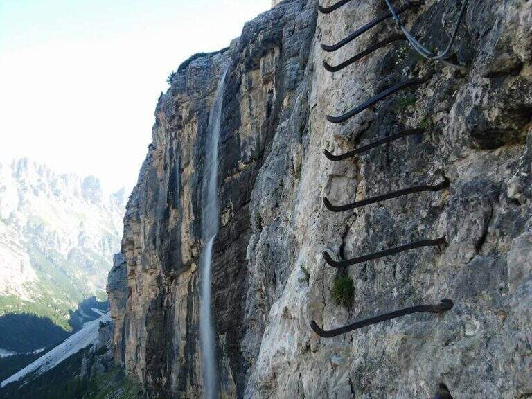
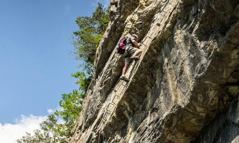
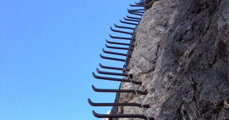
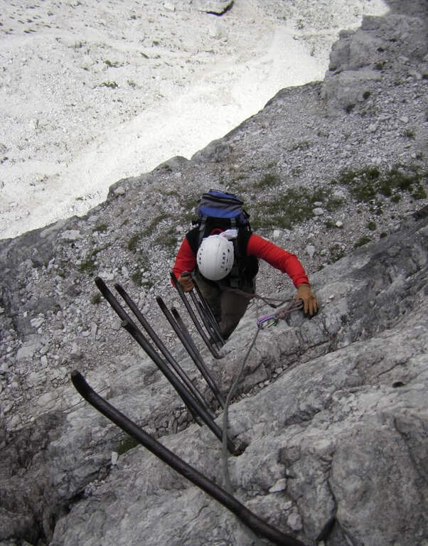
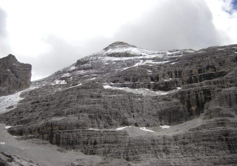
    La Ferrata Scala del Menighel è a short and unique stretch that, as the name says, è a true scala: a long series of metal frames that dates back to a bastion of about 100 meters on the north side of the Tofana of Rozes, cutting the valley of the Masarè. It is usually used to complete the tour at the base of the Tofana di Rozes by leaning to the Giussani Refuge. There is no difficulty; techniques of relief, but è exposta and the structure of the fixtures, dating back to the early twentieth century, requires concentration.

    ▲Approach

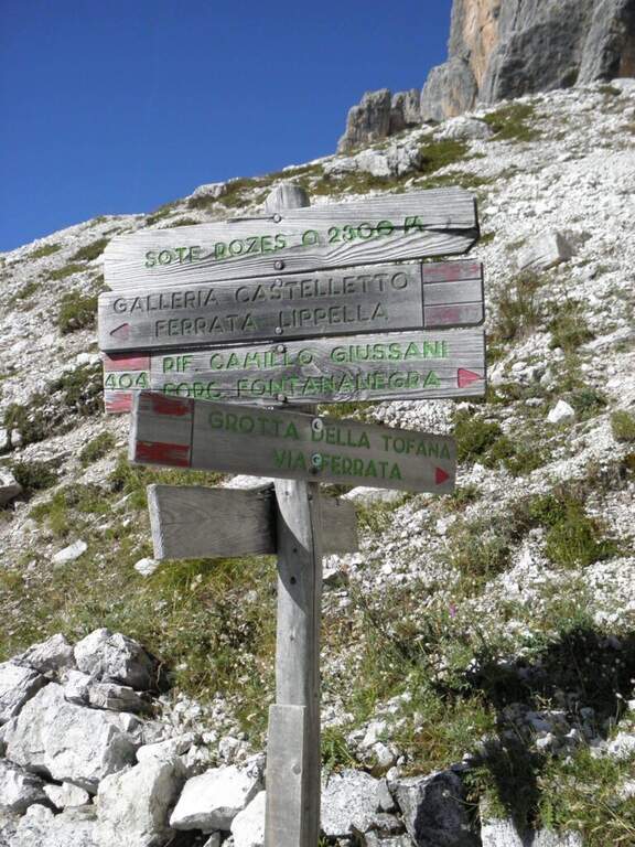
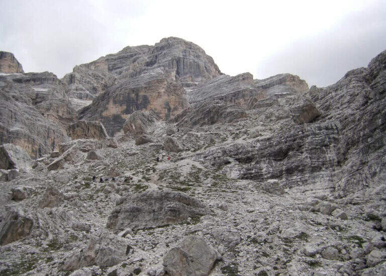
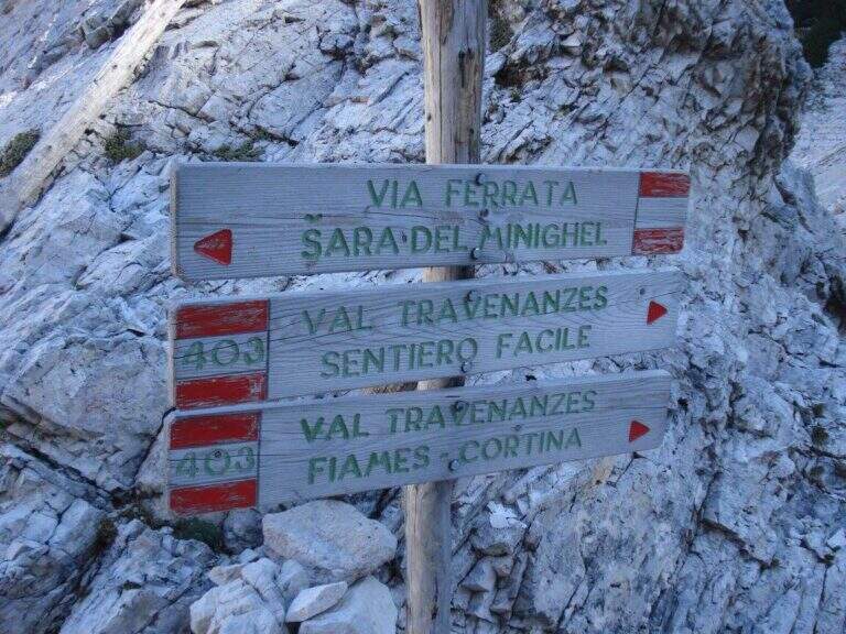
    Starting point the Rifugio Dibona, on the ampezzano slope south of the Tofana di Rozes, reachable by asphalted road that departs from the state Cortina– Passo Falzarego (follow the indications for the Rifugio Dibona, avoiding the junction for the Rifugio Duca d'Aosta). Open road signs on Google Maps. From Dibona take the path 403 on road, with modest slope, towards the south wall of Tofana; at a crossroad the 403 goes right towards the Giussani Refuge, but continue straight towards the south wall on the path 404, ignoring the bivi for the Ferrata of the Tofana Cave and for the Lipella/Gallerie del Castelletto. You reach the Forcella Col dei Bos and turn north into the Val Travenanzes, up to a fork on the right that leads to all' evident bastion of the Scala del Menighel (2h 30' from the Rifugio Dibona).

    ▲The path

    The ferrata è divided into two sections very similar. The first begins with a long series of fixtures, curves in the terminal tract, which rise diagonally to the left on a moderate gradient first then più vertical: the ascent has no difficulty; techniques, being a sequence of steps, but l' exposure quickly becomes evident. You can reach a census from which you can può admire calmly the waterfall that drops a hundred meters più to the left. The second section continues with the same fixtures, now bending to the right and with greater verticalità, until the end of the equipment (20' from' attack, about 3h totali).

    ▲Character and difficulty

    Due to the modest technical difficulties, it is also possible to hikers with moderate experience, but very exposed.

    ⚠ The fixtures date back to the early twentieth century: the ascent, although easy, requires concentration for their structure and exposure. The approach and return are long and tiring, and alone they would almost pass on the second floor the brevity of the equipped section.

    ▲Period and safety

    GPS tracks (GPX and KMZ) are available; the map of Cortina and the Dolomites of Ampezzo or the Val Badia of 4Land is useful for the area.

    ▲History

    The Scale of Menighel is first via ferrata of the area of Cortina d'Ampezzo. Luigi Gilarduzzi, called "Minighèl", blacksmith and manager of the Wolf von Glanvell Refuge in Val Travenanzes (drawn by the Italian artillery in 1915). To connect his refuge to the Giussani Refuge (then Cantor), Gilarduzzi forged 200 robust metal pioli that in 1907 they became the "Scala del Menighel".

    ▲Discipline

    The return is ringing around the Tofana of Rozes. From the end of the ferrata, under the north wall, climb steeply on the path 403 with a series of hairpin bends up to the Giussani Refuge (2580 m, 1h from the end of the ferrata); from here, always for the 403 narrow between the Tofana of Rozes and Punta Anna, you descend to the Rifugio Dibona (1h from Giussani, 2h from the end of the ferrata, 5h totali).

    ▲To match

    Often it matches downhill to Ferrata Lipella that goes up to the Tofana of Rozes. From the Giussani refuge you can reach Ferrata Formenton at Tofana di Dentro e il Sentiero Attrezzato Olivieri; by Dibona Path equipped Astaldi. To the Falzarego Pass Tomaselli, la Fuses at Sas de Stria e l'Averau.

    ▲Gallery
    Technical data
    • DifficultyModerately Hard
    • RegionVeneto
    • GroupTofa
    • Approach2:30 h
    • Ferrata0:20 h
    • Itinerary (a/r)5:00 h
    • Hardware level difference75 m
    • Route difference830 m
    • Max2573 m
    • Length11,4 Km
  • Ferrata Sasso della Croce and Sasso delle Ten

    Ferrata Sasso della Croce and Sasso delle Ten

    Vie Ferrate › Trentino-Alto Adige › Bolzano
    Ferrata Sasso della Croce and Sasso delle Ten
    Moderately Hard● OpenDescriptionComplexityMapsGallery

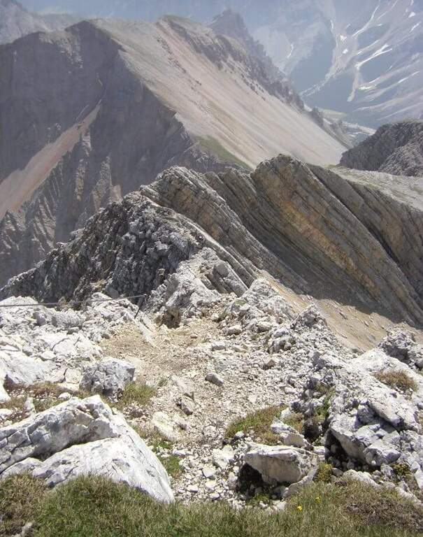
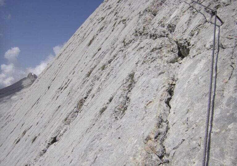
    The combination of ferrates to Sass de la Crusc (Sasso della Croce) and Ten is a great mountain route starting from Badia, in Val Badia. The equipped sections are of medium difficulty, but the path is long (more than 16 km, almost 1000 m of altitude difference) and for wide stretches runs on exposed and unprotected path: it must be faced with good preparation and stable time. In return it offers spectacular views of Val Badia, Sassolungo, Gruppo Sella and the Dolomites peaks of Cortina, with the summit in 3026 m.
    ▲Approach

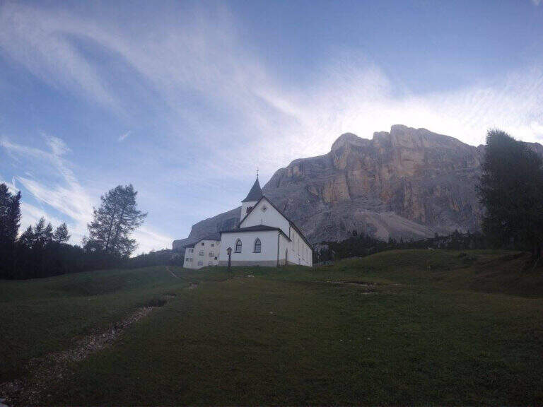
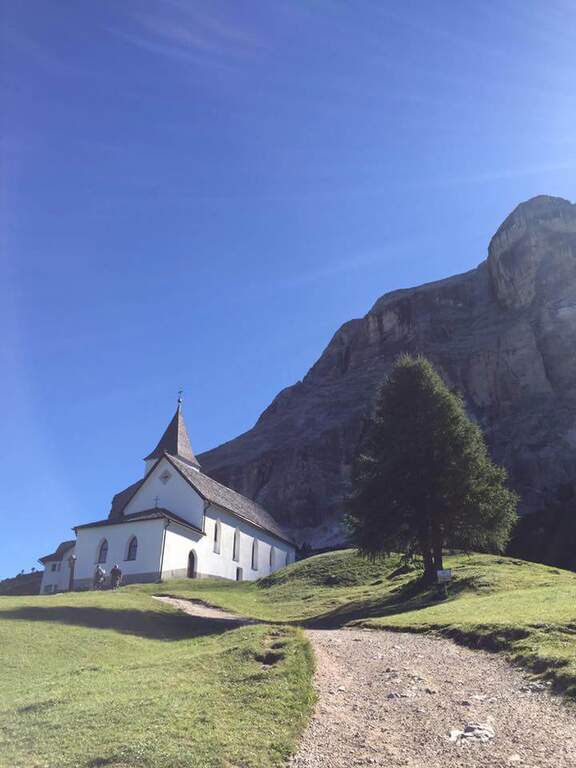
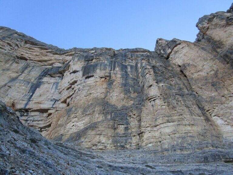
    The support is the Santa Croce refuge, on the eastern side of the Val Badia valley at the height of Badia, reachable with the chair lifts «La Crusc 1» and «La Crusc 2» or walk to the comfortable path 7 from Badia (about 1h 30'). Open road signs on Google Maps. From the mountain station (2045 m) you have in front of the imposing rampart of the Sass dla Crusc, the first destination of the day. Follow the signs 7 passing next to a white church; the path then climbs right towards the south, first sweet among the mughi and then più decided out of the wood, towards the wall. You walk under the rock along a path that takes you via più narrow and exposed: here begins the first equipped section (1h from the mountain station).

    ▲The path

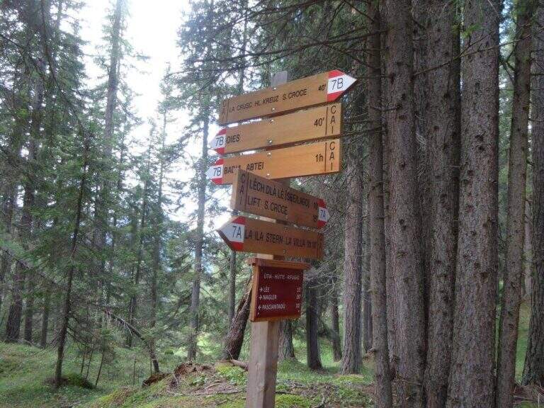
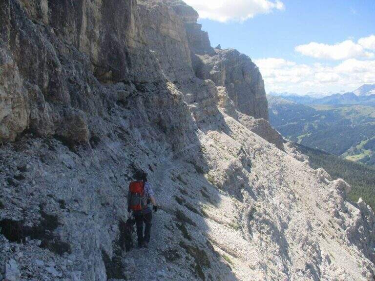
    The first cable helps on an exposed nod followed by a vertical leap; continue alternating halfway path exposed to short equipped stretches. You go up a sloped ramp with the cable on the left and you go on l' exposed path that wanders the south-west wall of the Sass dla Crusc; after a stretch of unequipped rocks you meet a equipped with two metal brackets and an easy crossing. A long nod, più narrow of the preceding, è protected by a self-insurance rope; therefore turns south for l' last stretch of path, partially equipped where it enters a steep franose canal, up to the Forcella dla Crusc (2h 30' in total). At the fork, crossroads of paths, the sinistra is held to stay on the ' plateau. You walk between stones and wreaths a po' slippery but not difficult until the Piz Zuber, then at the junction for the Sass dla Crusc (2907 m, optional but recommended deviation), and continue along the panoramic crest towards Cima Ten. Here begins the second stretch ferrato: short but very exposed, goes up the southern edge for about fifty meters of vertical rocky leaps. After the first metres, a series of più jumps is approached; marked with the cable on the left; from a panoramic balcony rises on a strong display on two challenging sections, then wanders the edge on the eastern side and you see, at about fifteen meters, the wooden cross. A few steps horizontally enters a chimney that goes up in the split, from the right to the left; the last rocks lead to the summit plateau and the croce of Cima Dieci, with a 360° view; (2h from Forcella, 4h 30' in total ). The ridge that detaches towards Cima Nove è travels from its ferrata.

    ▲Character and difficulty

    The first ferrata, the one that leads to the Forcella dla Crusc, è in the complex facile: it has three short and difficult vertical sections; techniques, while the other cables are mainly used to protect exposed paths. The Cima Ten hardware is short but intense, very exposed and with the first metà vertical and demanding.

    ⚠ Itinerary of high mountain, long and with important difference in altitude: it requires good physical form. Several stretches of path before the Forcella are exposed and not protected, not recommended to those who have no mountain or foot experience. Cima Ten requires no dizziness. The stability of the weather is fundamental: there are no real points of support and are equipped both at the beginning and at the end of the tour, to avoid with unstable weather.

    ▲History

    The Sasso della Croce è linked to the history of ' mountaineering by Reinhold Messner: in July 1968, climbing the Pillar of Mezzo with his brother Günther, he found himself in a smooth four-metre plaque from which he could not né climb né Get down. The superò, as it tells in its famous «Settimo Grado», and the attributables; an evaluation of VIII degree, until then never used; it should be remembered that the facedò with rigid sole boots.

    ▲Period and safety

    The GPS tracks (GPX and KMZ) can be downloaded from the card; the 4Land Val Badia map is useful for the area.

    ▲Discipline

    The descent takes place along the same path of the ' gone; the two equipped sections require special attention because of the eacute; downhill routes (3h from the summit, 7h 30' overall).

    ▲To match

    Hardly this tour leaves energy for a second ferrata in the day, but on several days from the Forcella dla Crusc you can climb to the Piz de Lavarella and get off towards the Sentiero Attrezzato Tru Dolomieu. In Val Badia there is Ferrata della Pace; by Corvara, on the Sella Group Ferrata at Piz de Lech and that of Vallontowards Passo Gardena la Ferrata at Gran Cir and, towards the Furcia Pass, the new Ferrata at Piz de Peres.

    ▲Gallery
    Technical data
    • DifficultyModerately Hard
    • RegionTrentino-Alto Adige
    • GroupRock of the Cross
    • Approach2:00 h
    • Ferrata0:45 h
    • Itinerary (a/r)7:30 h
    • Hardware level difference75 m
    • Route difference979 m
    • Max3026 m
    • Length16,1 Km
  • Ferrata di San Silvestro al Monte Totoga (Primiero)

    Ferrata di San Silvestro al Monte Totoga (Primiero)

    Vie Ferrate › Trentino-Alto Adige › Trento
    Ferrata di San Silvestro al Monte Totoga (Primiero)
    Moderately Hard● OpenDescriptionComplexityMapsGallery

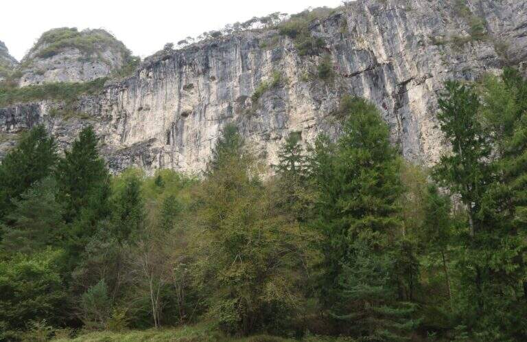
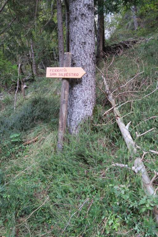
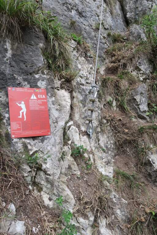
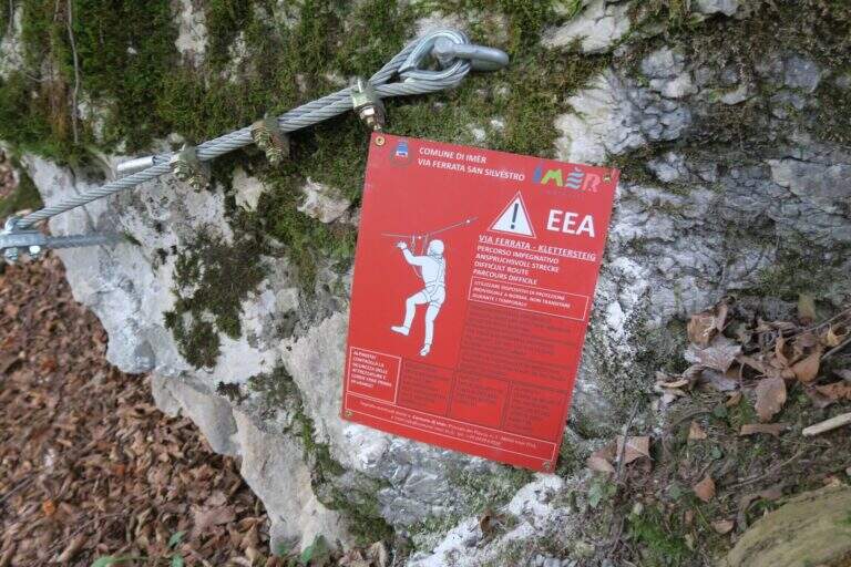
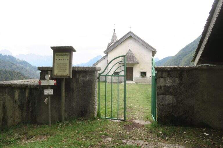
    The Ferrata di San Silvestro takes its name from the chiesetta on the middle coast of Monte Totoga, the final destination of the ' itinerary. È a short route, mainly facile with some moderately difficult passages, divided into two sections; approaching less than 5 minutes, low exposure and quick return make it ideal for beginners and hikers looking for a simple equipped route.

    ▲Approach

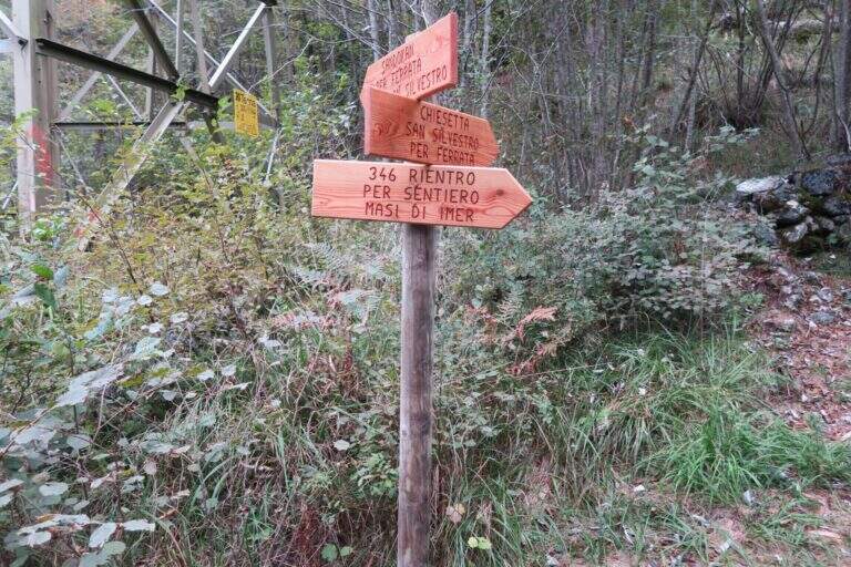
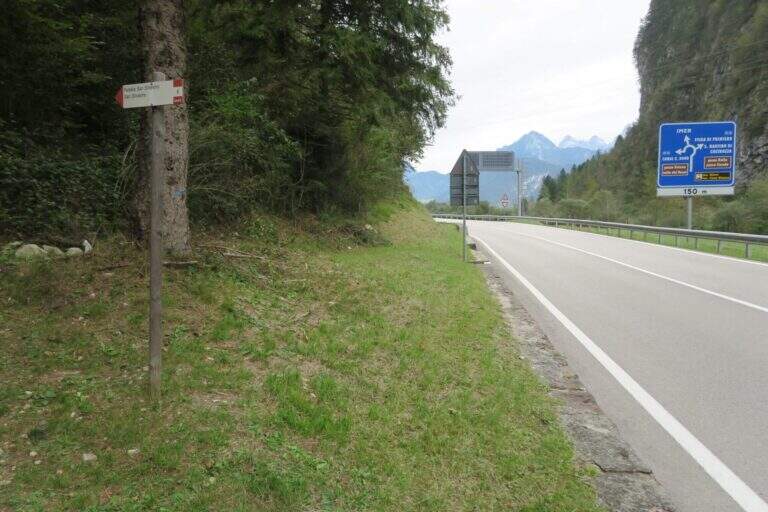
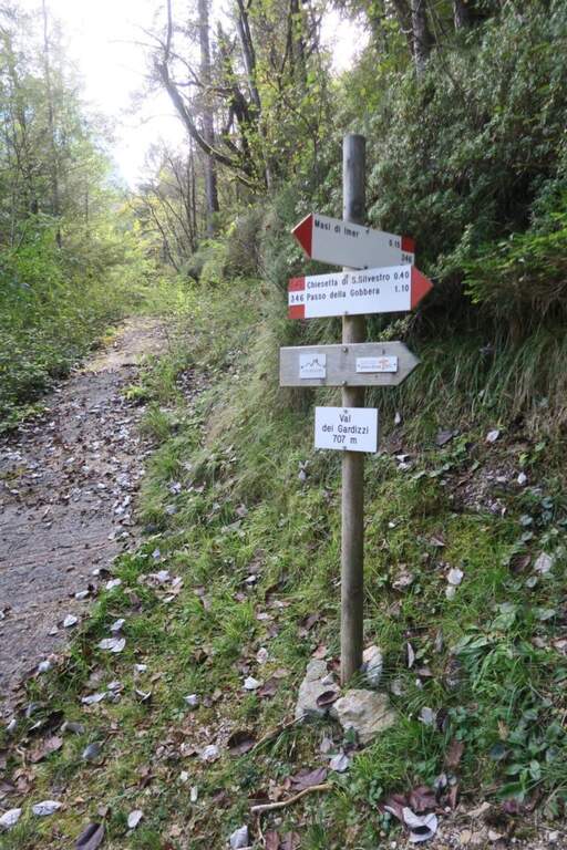
    The starting point is on board the SS 50 of Grappa and the Rolle Pass, climbing from Feltre to Primiero: just finished the lago of Schenér, just before the roundabout for Imer and just before the tunnel for Canal San Bovo, c'è a deck with indication «Falesia San Silvestro» (another più parking lot; large on the opposite side). Open road signs on Google Maps. Follow the path «Falesia di San Silvestro» and, shortly after, a sign on the right indicates l' attack, with the classic red sign (5' parking ).

    ▲The path

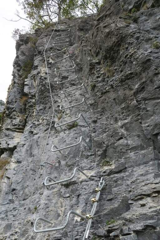
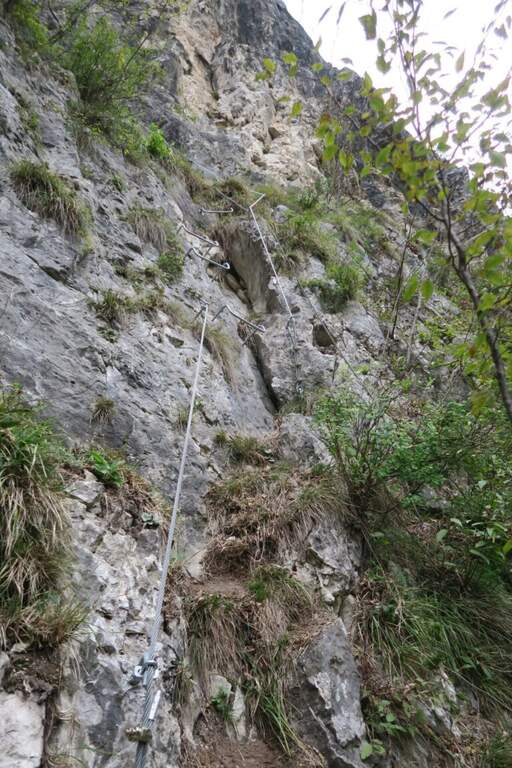
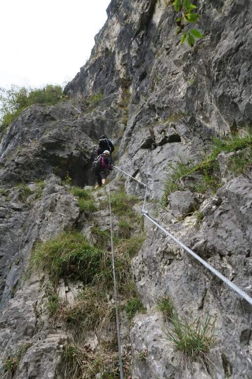
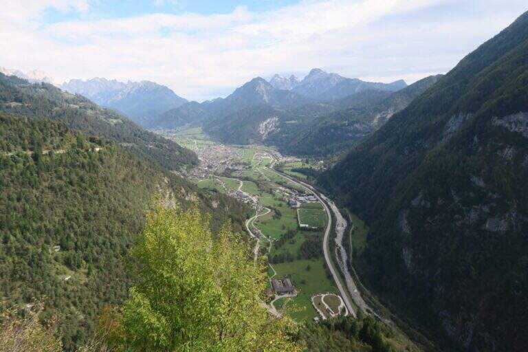
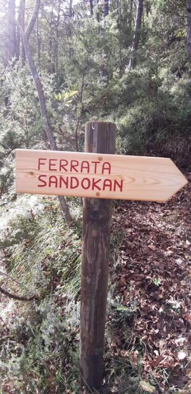
    First section: si parte con un tratto abbastanza verticale ma ben ammanigliato (gradini in roccia, staffe e facili roccette), poi si sale in diagonale verso sinistra su gradoni di solida roccia con varie cambre, una serie di cambre verticali, qualche balzo e una paretina staffata, fino al pianoro boschivo che chiude la prima sezione (circa 150 m di quota dal parcheggio): la parte iniziale è moderatamente difficile, il resto facile. In 5 minuti si arriva a un bivio sotto un traliccio: a sinistra il percorso per ragazzi «Sandokan», dritto la seconda sezione (qui un primo rientro per chi non vuole proseguire, 20' dall'attacco). Si prosegue nel sottobosco e in circa 15' si raggiungono le attrezzature: tre tratti di semplice sentiero attrezzato, poi facili roccette con qualche staffa e un traverso a sinistra fino a una parete verticale di circa 10 m ben provvista di cambre — il primo dei due tratti più esposti, comunque contenuto. Da un terrazzino panoramico (a destra il lago di Schenér, a sinistra Imer e Mezzano) si continua con altri passaggi su appoggi naturali e staffe; un traverso a destra e una lunga serie di staffe irregolari per circa 15 m costituiscono il secondo tratto più esposto. Si prosegue tra roccette, scalini e staffe, poi un lungo e semplice traverso a destra protetto dal bosco; si aggira la parete in obliquo aiutandosi col cordino a sinistra e, dopo un ultimo facile tratto attrezzato (terreno a tratti fangoso dopo le piogge), si arriva alla Chiesetta di San Silvestro, splendido punto panoramico (circa 1h dall'attacco / 1h 5' dal parcheggio).

    ▲Character and difficulty

    Way adapted to the principianti: very short approach, contained exposure, modest physical commitment. A metà path, at the crossroads, the easy variant « is separated;Sandokan» (edited by Alberto Zanon), which descends to a large census and then to zig-zag in the forest up to one' another crag and parking (about 20', accessible uphill or downhill).

    ▲Period and safety

    Low altitude: all year round, with attention to snow or ice in winter. Exposed to the south-east, it is not recommended on very hot summer days, while being partly sheltered from the vegetation. No official GPS available on this route.

    ▲Discipline

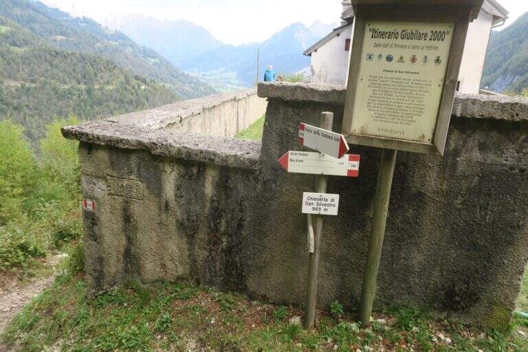
    From the church a sign indicates two options. Recommended: trail 346 which in about 40' leads to the provincial to the Masi of Imer (restaurant « At Bus») and in other 10' at the parking lot, crossing the road and the roundabout in front of the tunnel (50' from the term). Alternatively, it can be può stretch the lap up to 346 until the Passo Gobbera and get off for the provincial road towards Imer or for dirt/summer that connects più below the first option (about 1h 30').

    ▲To match

    In the Primiero and surroundings: the Ferrata del Canalone at the refuge Treviso and, at the Pale, the Ferrata Bolver-Lugli; towards the Dolomites Feltrine la Ferrata at Monte Coppolo.

    ▲Gallery
    Technical data
    • DifficultyModerately Hard
    • RegionTrentino-Alto Adige
    • GroupPrimiero
    • Approach0:05 h
    • Ferrata1:00 h
    • Itinerary (a/r)1:50 h
    • Hardware level difference330 m
    • Route difference380 m
    • Max965 m
    • Length5,4 Km
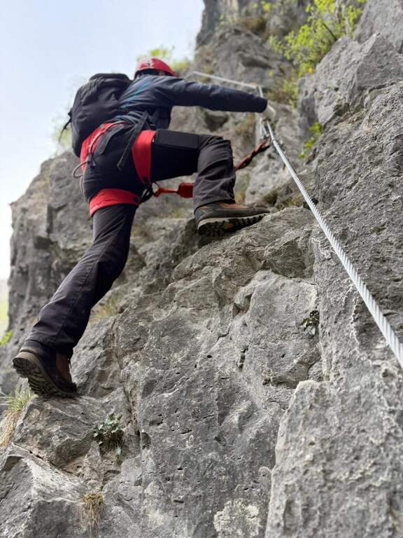
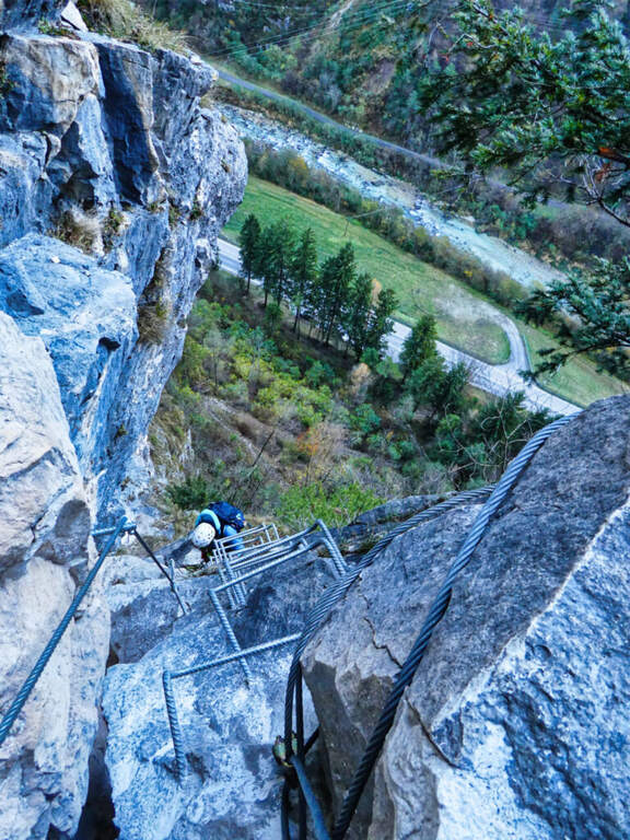
  • Ferrata Sartor at Monte Peralba

    Ferrata Sartor at Monte Peralba

    Vie Ferrate › Friuli-Venezia Giulia › Udine
    Ferrata Sartor at Monte Peralba
    Moderately Hard● OpenDescriptionComplexityMapsGallery

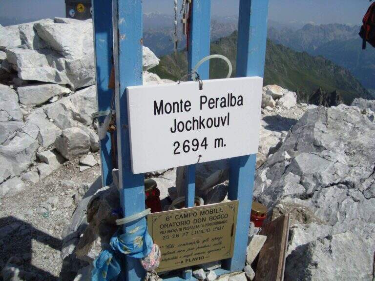
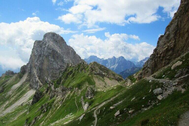
    The Ferrata Sartor climbs the south side of the Monte Peralba (2694 m), the più top; high of the Sappada area. È a difficult-to-grave medium route; and rather short, inserted in a beautiful excursion; it deserves attention the return, which happens for l'impegnative normal way on the north side.

    ▲Approach

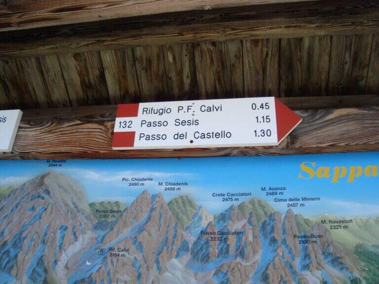
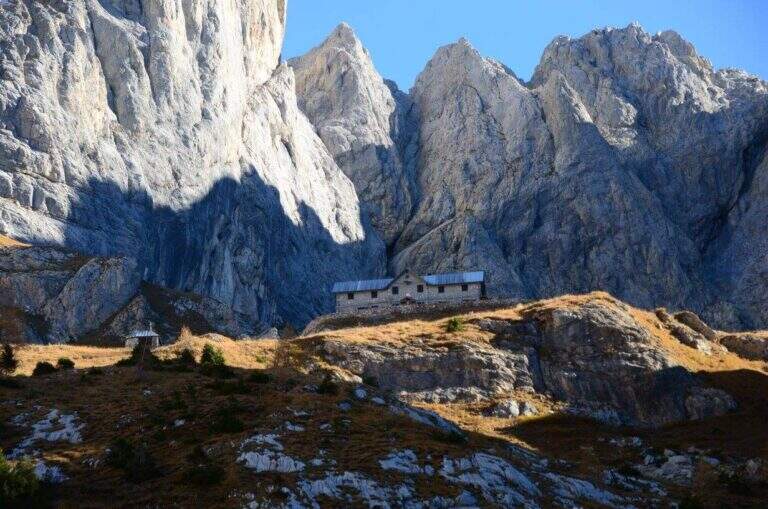
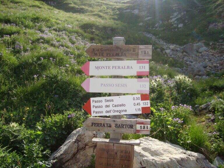
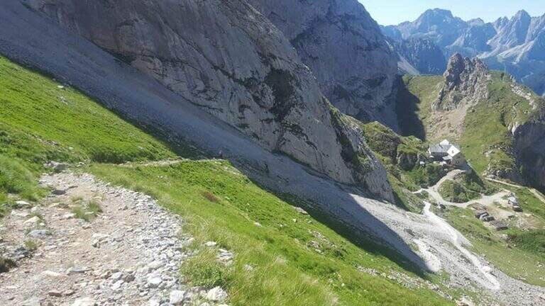
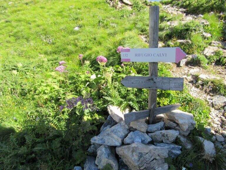
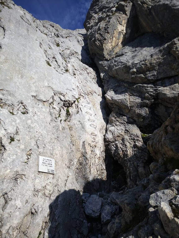
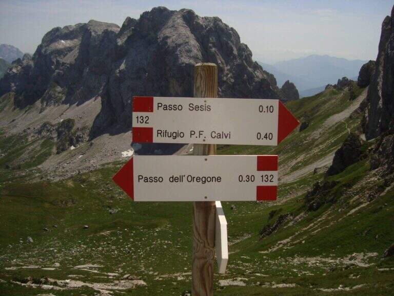
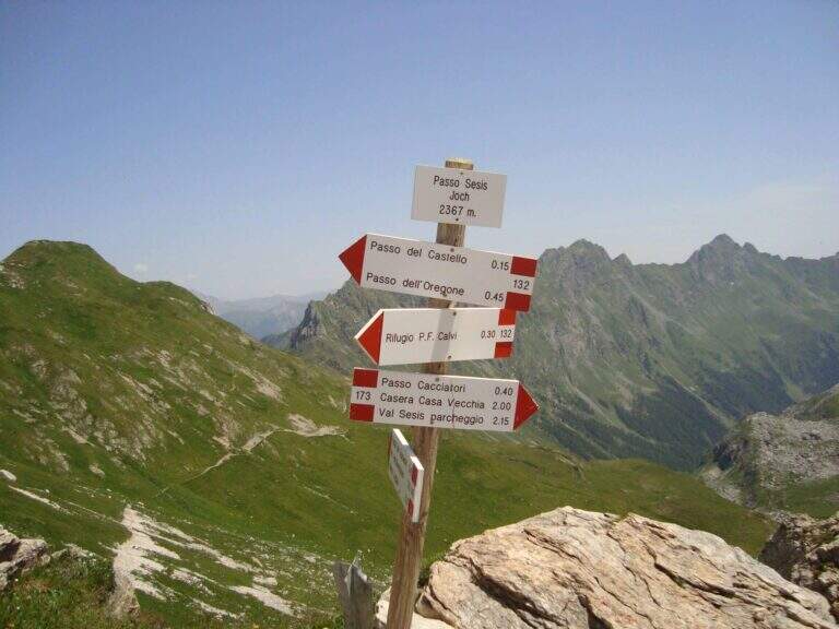
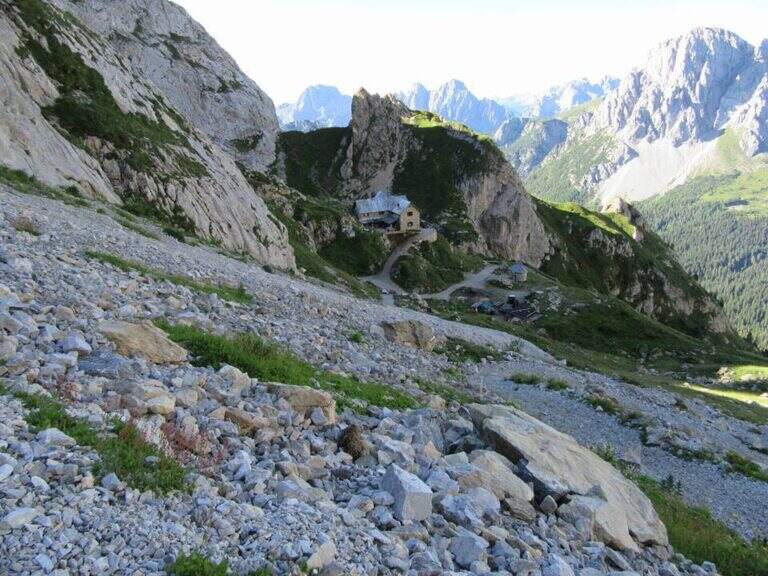
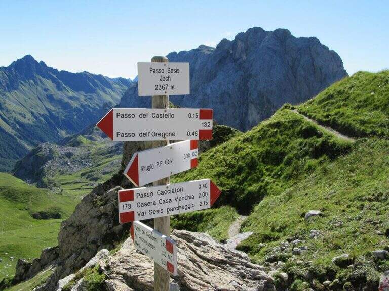
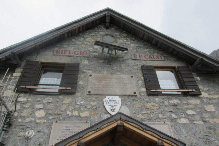
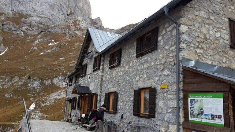
    Base the Rifugio Calvi, between Chiadenis and Peralba. It starts along the SP 22 connecting Cima Sappada with the Sorgenti del Piave: from the center of Cima Sappada a road to the left (indications Sorgenti del Piave) climbs for 8 km; just before the Rifugio Sorgenti del Piave you leave l' car in a large parking on the road (about 1800 m). Open road signs on Google Maps. Si sale verso il Rifugio Calvi (2167 m) per la sterrata o per il «Sentiero delle Marmotte» (entrambi ~45'); dal rifugio si va verso il Peralba e il Passo Sesis e dopo ~15', a un bivio (2272 m), si tiene la sinistra verso la bastionata, fino alla targa e all'inizio delle attrezzature (2360 m, 1h 30' dal parcheggio).

    ▲The path

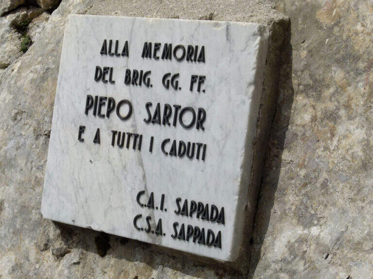
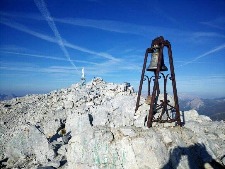
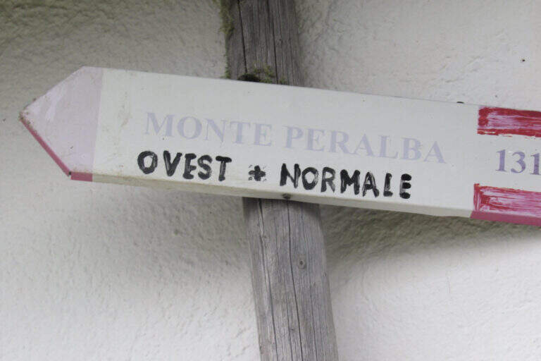
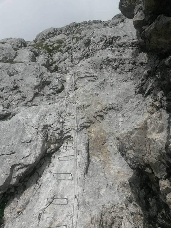
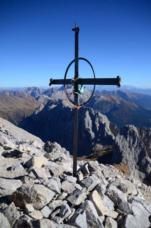
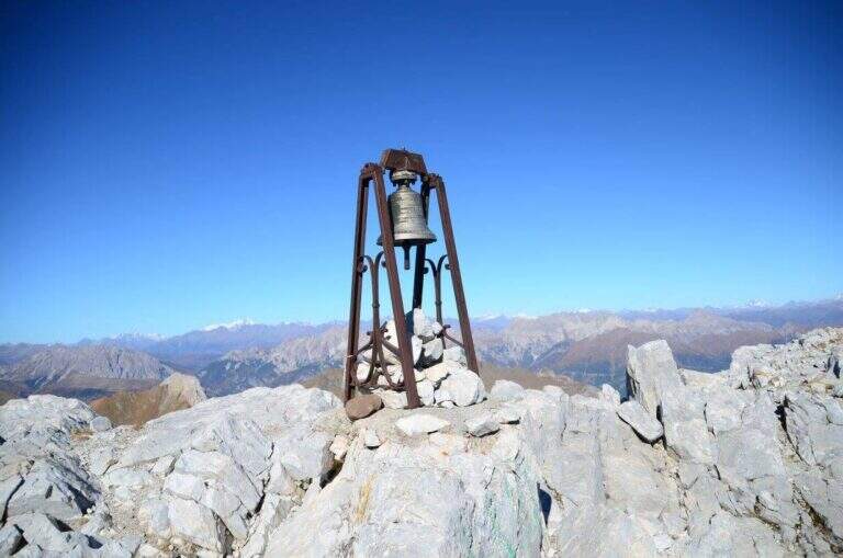
    A destra della targa in marmo bianco sale una lunga serie di cambre su placca liscia: si guadagna rapidamente quota ed esposizione superando un paio di punti leggermente strapiombanti. Dopo uno stretto balconcino la placca diventa più appoggiata, con cambre orizzontali, pioli e maniglie, su buona roccia dove alcune scanalature aiutano la progressione; il tracciato è quasi rettilineo. Dopo una settantina di metri il cavo piega a sinistra: una decina di metri su stretta cengia portano sotto un colatoio da risalire (attenzione alla possibile caduta di sassi), poi il cavo sale in diagonale a destra su parete ben appigliata fino al termine delle attrezzature (40' dall'attacco). Per la vetta si segue una modesta traccia con sbiaditi segni rossi fino al crinale: a destra si sale in cima, a sinistra scende la via Ovest (alternativa di discesa più lunga). Si raggiunge la vetta del Peralba (2694 m), con croce, campana e madonnina e vista magnifica (1h 15' dall'attacco / 2h 45' dal parcheggio).

    ▲Character and difficulty

    A short piece, without any technical difficulties: first vertical section but very bracketed, second more supported and climbing, last stretch on a high path. Very beautiful excursion from the landscape point of view.

    ⚠ Il return to the normal way north è the più tract; challenging: steep, exposed and with a canal equipped on friable bottom and often wet rock, to be faced with sling. Being exposed north può be snowy even at the beginning of the season.
    ▲Period and safety

    Itinerary of high altitude (2694 m): full summer, dry rock and no snow on the north side.

    ▲Discipline

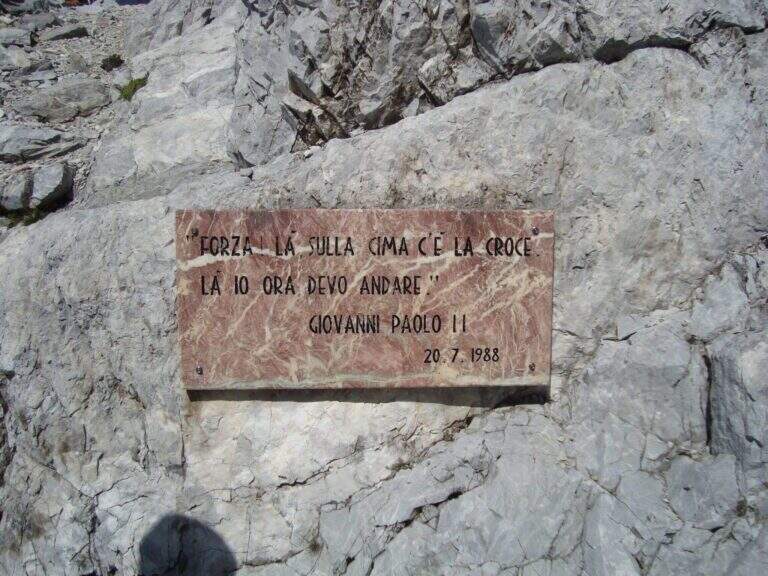
    Go down the steep path of the north side: già from the first meters strong exposure, up to a fork with two metal plates (visit of the pope and fallen of the Great War). The destra is held at a crossroads (war rites) following a red stamp and descends the steep canal equipped on a friable bottom; on path and labile tracks follow the logical descent line, you pass a canon and you descend to the edge of a ring. To a pole you hold the right and climb to the Passo Sesis, from which you descend to the Rifugio Calvi (1h 15' from the summit) and finally to the parking lot for the path of ' gone (30' from the refuge / 4h 30' totali).

    ▲To match

    From Passo Sesis you reach the attack (30') of Ferrata del Chiadenis, great to match two itineraries in the day. To the Dolomites of Sesto la Ferrata Roghel e la Ferrata alla Croda Rossa di Sesto; towards Friuli la Ferrata del Coglians e la Ferrata dei Cinquanta.

    ▲Gallery
    Technical data
    • DifficultyModerately Hard
    • RegionFriuli-Venezia Giulia
    • GroupAlps Carnia
    • Approach1:30 h
    • Ferrata1:15 h
    • Itinerary (a/r)5:30 h
    • Hardware level difference334 m
    • Route difference894 m
    • Max2694 m
    • Length8,9 Km
  • Ferrata Salvatori alla Pania Forata (Monte Forato)

    Ferrata Salvatori alla Pania Forata (Monte Forato)

    Vie Ferrate › Tuscany › Lucca
    Ferrata Salvatori alla Pania Forata (Monte Forato)

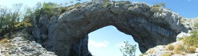
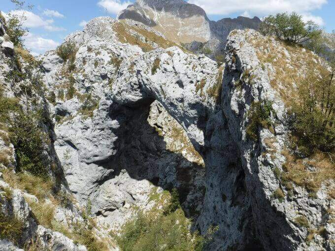
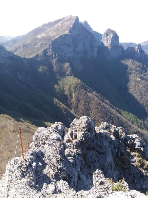
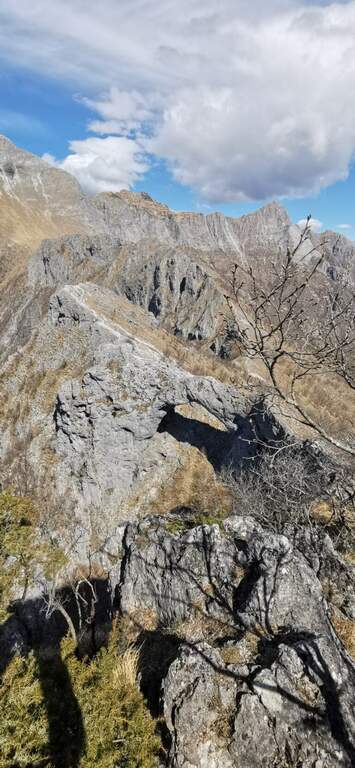
    The Ferrata Salvatori è a facile but aerial way, which faithfully follows the ridge from the Foce Petrosciana al Monte Forato (or Pania Forata), in the Apuan Alps. The low altitude makes it accessible most of the year; the famous natural arch of Monte Forato is worth the whole excursion alone.

    ▲Approach

    Starting point l'Albergo Alto Matanna, in Garfagnana: from Lucca follow the SS 12, then Tenth and Pescaglia, cross the village of Pascoso and, at the indications for l' hotel, turn left on an asphalted road. Open road signs on Google Maps. From ', the hotel rises and soon after takes you to destra il CAI 109, remaining on the north wall of Mount Nona; you reach the Foce delle Porchette and, ignoring the deviations, continue straight on 109 until Foce di Petrosciana (1h 20' from parking).

    ▲The path

    Alla Foce di Petrosciana una targa in marmo indica il ripido accesso alla ferrata (si ignora il sentiero che costeggia in basso il crinale, percorso al ritorno). Si salgono facili roccette fino al primo cavo, che costeggia un traverso e porta a una via di fuga; proseguendo si raggiunge un gendarme roccioso da risalire su un esposto diedro attrezzato di 15 metri, che deposita su un piccolo piano da cui si riparte su una parete ripida con pochi appigli (passaggio chiave). Una scaletta di 5 metri chiude le difficoltà tecniche; da qui la via segue il filo di cresta, esposto ma mai difficile, fino al termine delle attrezzature. Per un'esile traccia si raggiunge la cima del Monte Forato / Pania Forata (50' dall'attacco / 2h 15' dal parcheggio).

    ▲Character and difficulty

    Overall facile, with only a few più passes; technicians in the initial part (the dihedron and the wall of the key passage); the rest è aerial crest. From the ' arc of the Forata Pania è it is possible to make a double rope descent. Named Renato Salvatori, vice-president of the CAI of Forte dei Marmi; installed in' autumn 1977, inaugurated in 1978 and renewed in 1998.

    ⚠ Although easy, the route takes place on exposed ridge: indispensable harness, helmet and ferrata kits; attention with wet rock or strong wind.
    ▲Period and safety

    Low altitude (maximum 1150 m): large part of the year with dry rock.

    ▲Discipline

    Si scende dal lato garfagnino per circa 40 metri fino al marcato CAI 110, che si percorre a ritroso verso l'attacco della ferrata (20' dal termine); da qui si segue a ritroso il sentiero dell'andata fino all'auto (3h 45' totali). In alternativa si può salire da Fornovolasco (Grotta del Vento) per il CAI 6, che risale il torrente Caraglione passando per la grotta «La tana che urla» fino alla Foce di Petrosciana.

    ▲To match

    Concatenate well with the neighbor Ferrata del Procinto (the combined route is described in the report of the Procinto).

    ▲Gallery
    Technical data
    • DifficultyEasy
    • RegionTuscany
    • GroupApuan Alps
    • Approach1:20 h
    • Ferrata0:50 h
    • Itinerary (a/r)3:45 h
    • Hardware level difference400 m
    • Route difference420 m
    • Max1150 m
    • Length9,4 Km
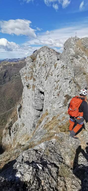
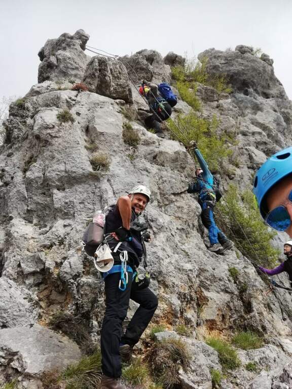
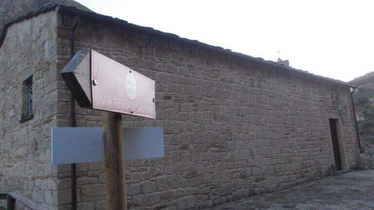
  • Ferrata Salemm (Dolomiti Lucane)

    Ferrata Salemm (Dolomiti Lucane)

    Vie Ferrate › Basilicata › Power
    Ferrata Salemm (Dolomiti Lucane)
    Moderately Hard● OpenDescriptionComplexityMapsGallery

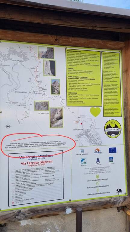
    . Seasonal closure. For on-site sign the Ferrata Salemm non è from 1° February to 31 May: program l' exit out of this period and respect the signs.

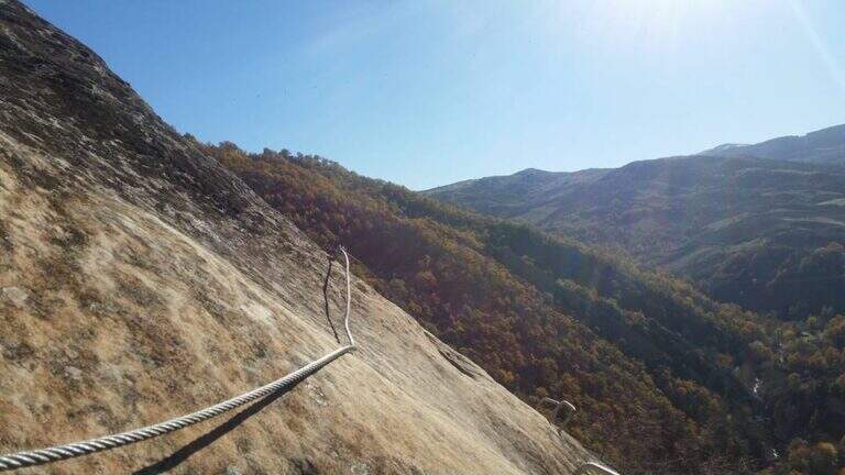
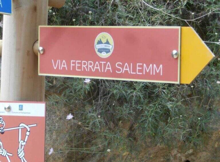
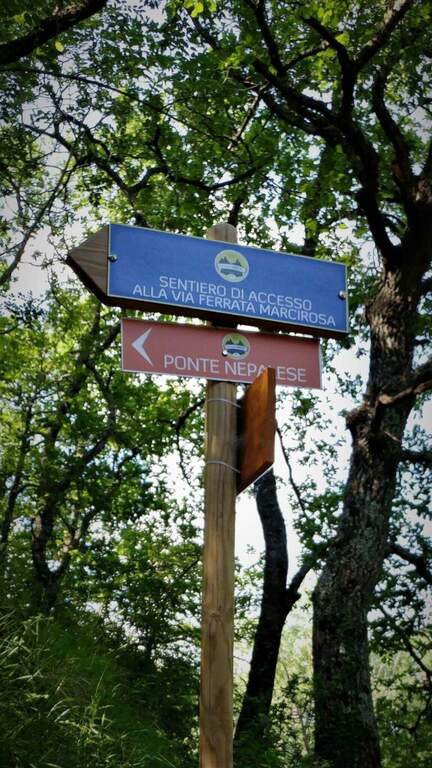
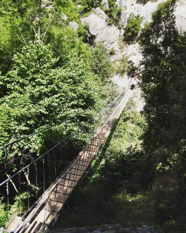
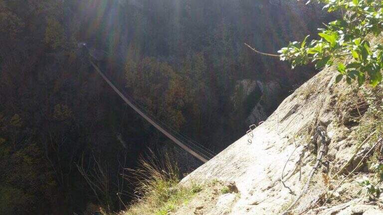
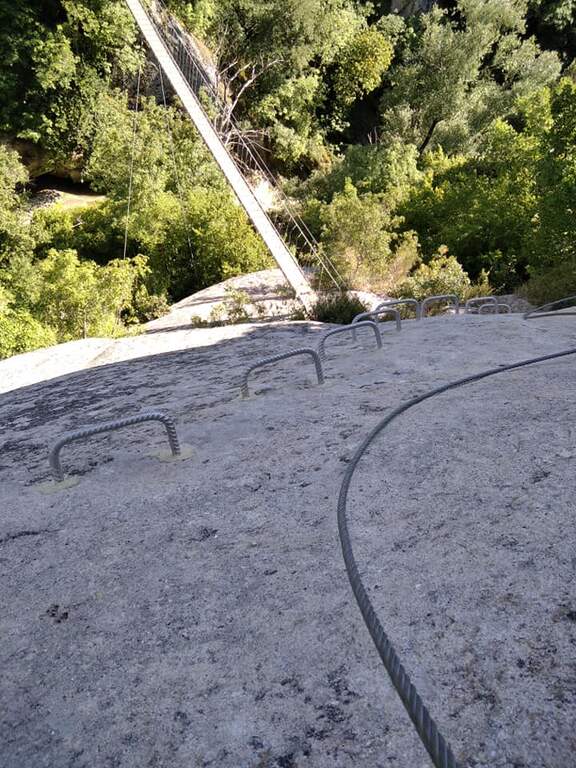
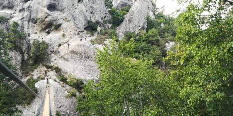
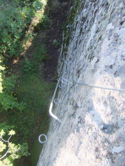
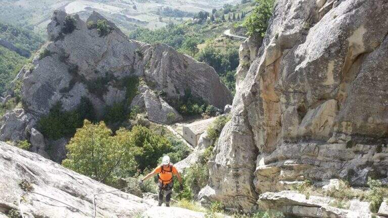
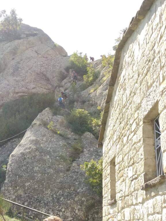
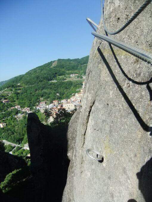
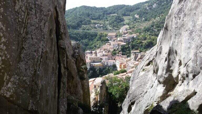
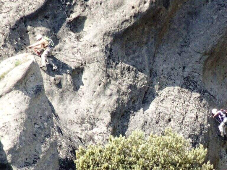
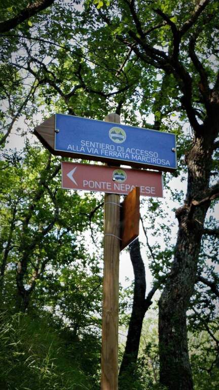
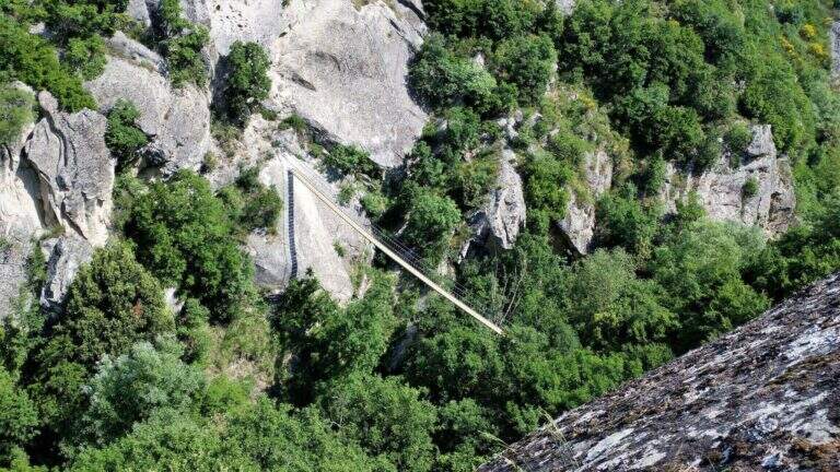
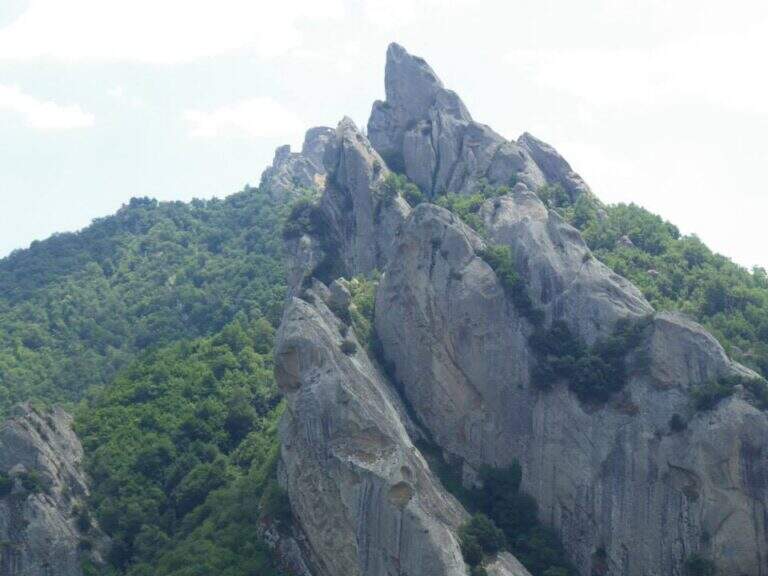
    The Ferrata Salemm ` a difficult way; moderate in the Dolomiti Lucane, on the side of Castelmezzano. It unfolds in a spectacular setting of sandstone gushes and is può chainring with the nearby Ferrata Marcirosa, which starts from the side of Pietrapertosa.

    ▲Approach

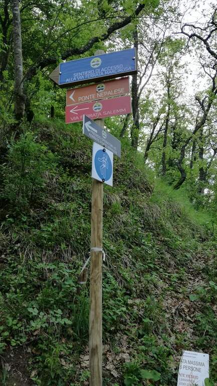
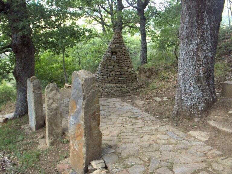
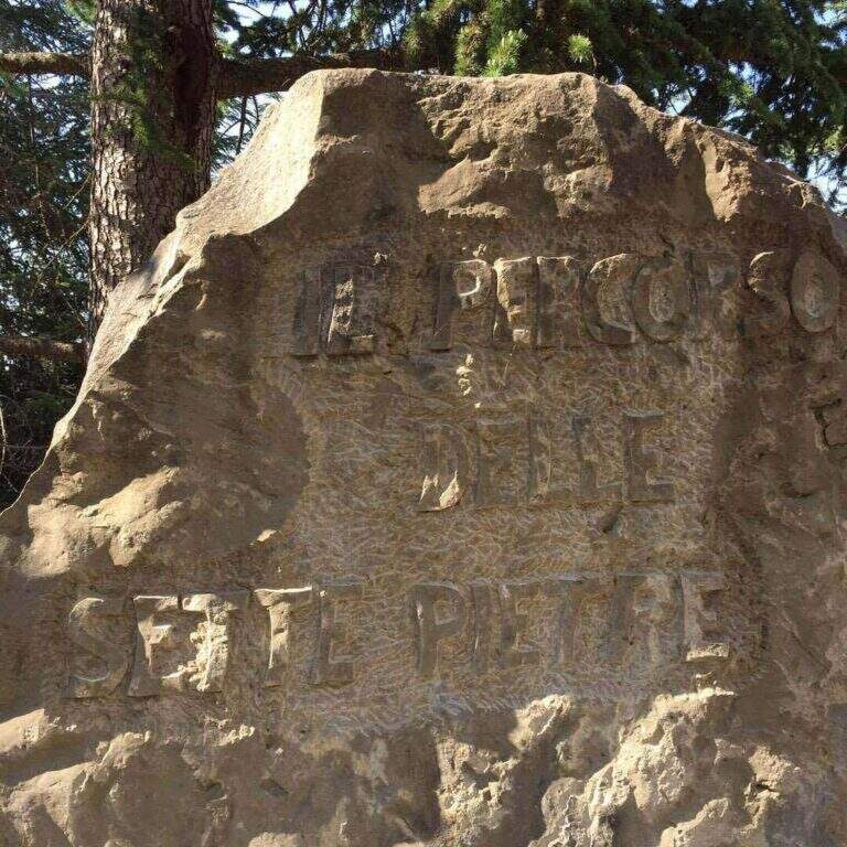
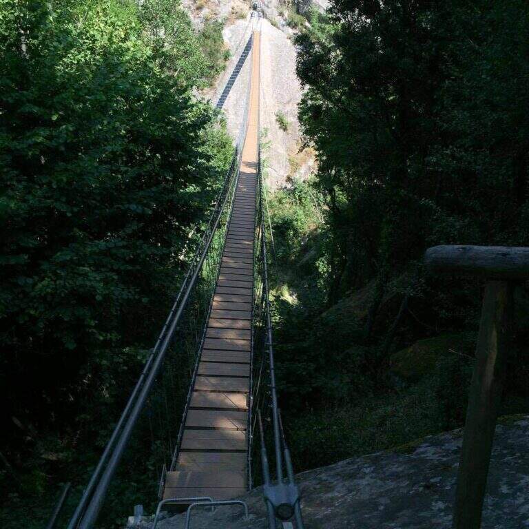
    Starting point Castelmezzano (PZ), reachable from Potenza (SP 13) or from the Apulian side. You park at the cimitero and take the Sentiero delle Sette Pietre towards the Roman bridge. Open road signs on Google Maps. From the Roman bridge there is the sinistra (and still left at the next junction), along the Caperrino stream on the left side (on the right you would go to the Ferrata Marcirosa and the Nepalese bridge); in about 45' from the bridge you will arrive at ' attack (1h from the Roman bridge). Those who want to walk first the ponte nepalese follows for the Marcirosa and, at a signposted junction, keeps the left towards the long bridge, then a stretch of linking ferrata on the right, with discreet exposure, up to a stone building all' start of the road.

    ▲The path

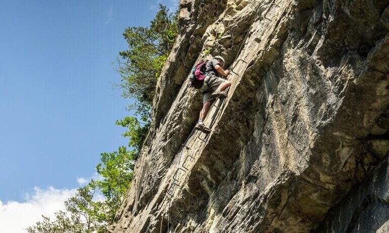
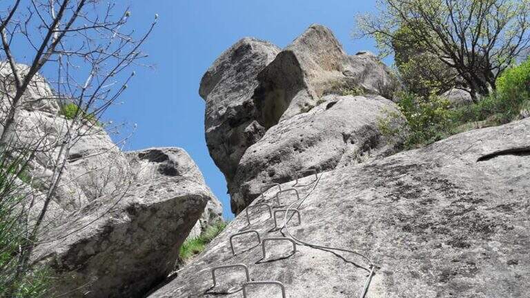
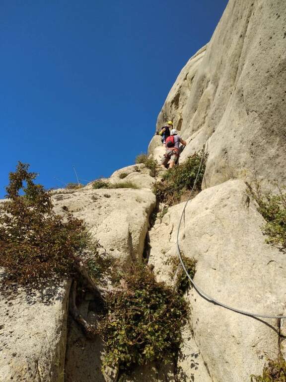
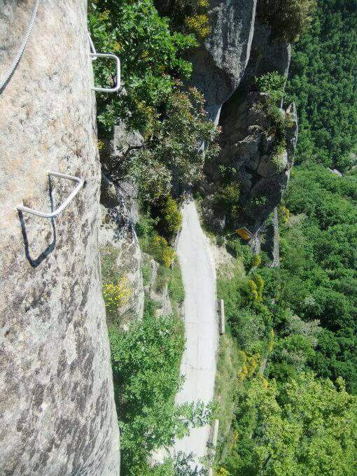
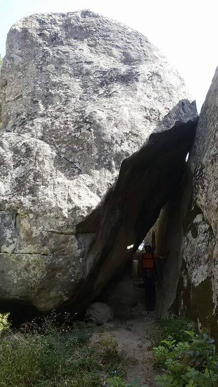
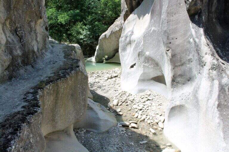
    Dopo qualche facile tratto di sentiero attrezzato si incontra una parete appoggiata con abbondanti cambre; ci si sposta a sinistra e si sale una parete verticale ben staffata fino a una rampa inclinata a sinistra, un facile canalino e qualche placchetta. Si prosegue su placche appoggiate verso un rilievo, poi, dopo un tratto di sentiero, si affronta una parete liscia e verticale con un esposto traverso orizzontale a sinistra, che termina in discesa su sentiero. Si sale un breve balzo, si passa sotto un masso appoggiato e si percorre un'affilata cresta in discesa, con traversi e balzi, fino alla chiesetta del Santo Sepolcro, dove c'è una via di fuga segnalata. La via prosegue verso Castelmezzano con un bel traverso orizzontale, impegnativo, lungo una gola rocciosa, con staffe e pioli per mani e piedi: lo si percorre in discesa, prima sotto un tetto poi in crescente esposizione verso sinistra, con qualche stacco verticale, fino al termine (2h dall'attacco / 3h totali).

    ▲Character and difficulty

    Moderate difficulty in a very panoramic environment. Along the way two marked escape routes.

    ⚠ The rock è particularly friable and poor of stickers: difficult and unsafe after recent rains. In addition to the seasonal closure (1° feb – 31 mag), well evaluate the conditions of the rock.
    ▲Period and safety

    Recommended season summer and autumn (out of the closing period). Avoid with wet rock.

    ▲Discipline

    From the term, a path leads to a dozen minutes on an asphalted road (via Peschiere), on the outskirts of Castelmezzano; from lì you return to the center and you reach the cimitero (30' from road / 45' from term / 3h 45' total).

    ▲To match

    L' più exit; rewarding è l'anello with Ferrata Marcirosa, leaving the car at the cemetery of Castelmezzano: Seven Stones to the Roman bridge, Marcirosa to Pietrapertosa, return to the Roman bridge, crossing the suspended bridge and finally the Salemm to Castelmezzano. About 1h 15' drive, in Sasso di Castalda, la Ferrata dell'Arenazzo e la Ferrata del Belvedere.

    ▲Gallery
    Technical data
    • DifficultyModerately Hard
    • RegionBasilicata
    • GroupDolomiti Lucane
    • Approach1:00 h
    • Ferrata2:00 h
    • Itinerary (a/r)3:45 h
    • Hardware level difference215 m
    • Route difference250 m
    • Max909 m
    • Length2 Km
Need help? Write to us!