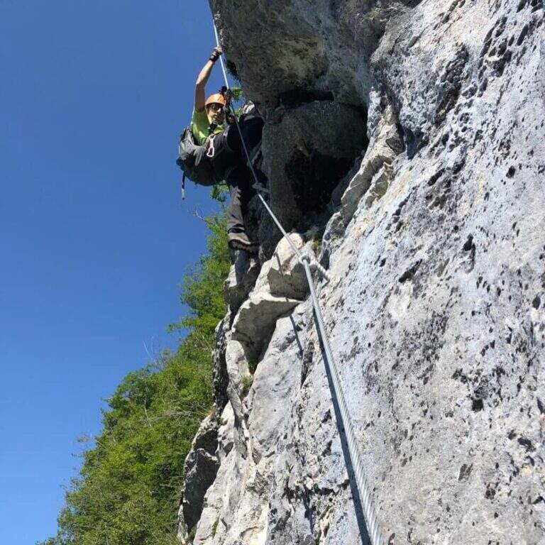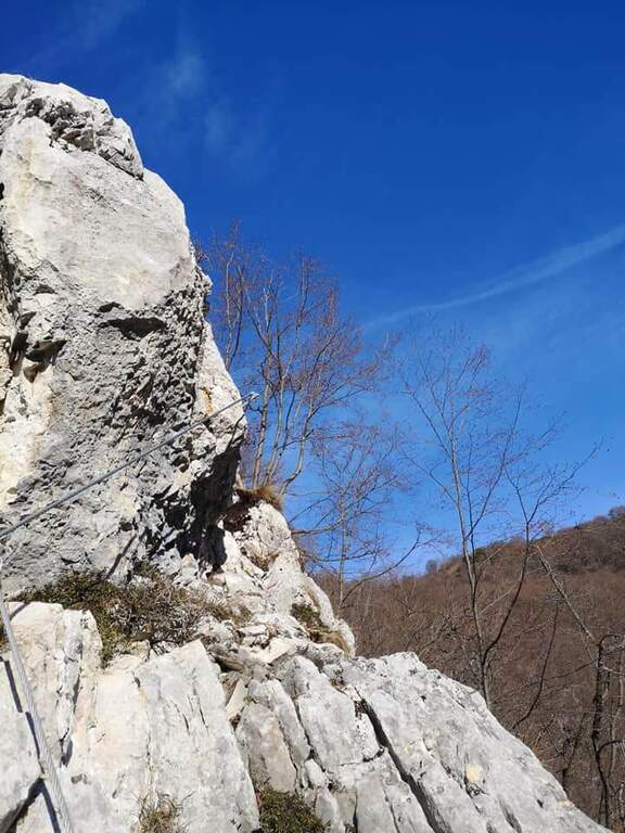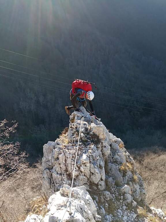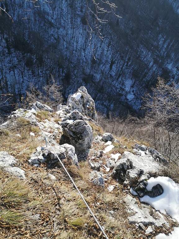
Stato: Aperta

  • Ferrata Cesco Tomaselli in Cima Fanes

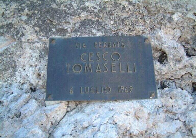
    Ferrata Cesco Tomaselli in Cima Fanes

    Vie Ferrate › Veneto › Belluno
    Ferrata Cesco Tomaselli in Cima Fanes
    Very difficult● OpenDescriptionComplexityMapsGallery

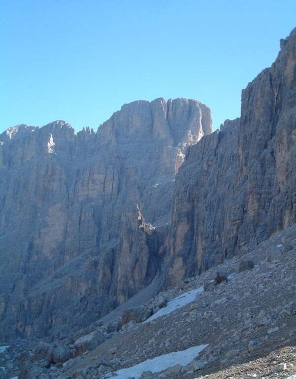
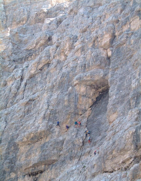
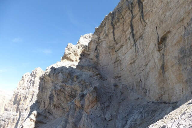
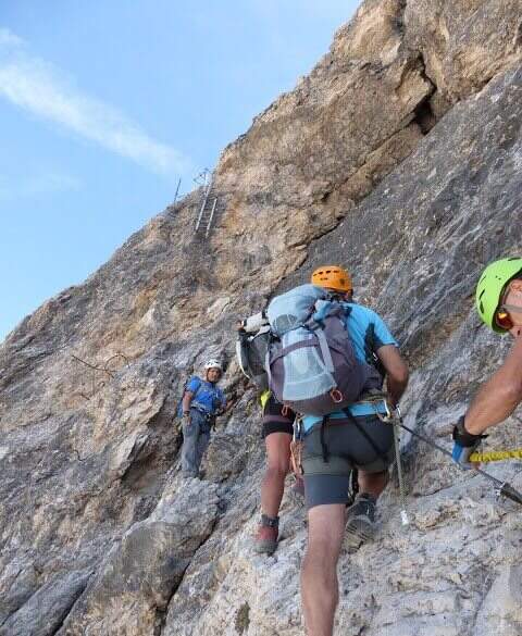
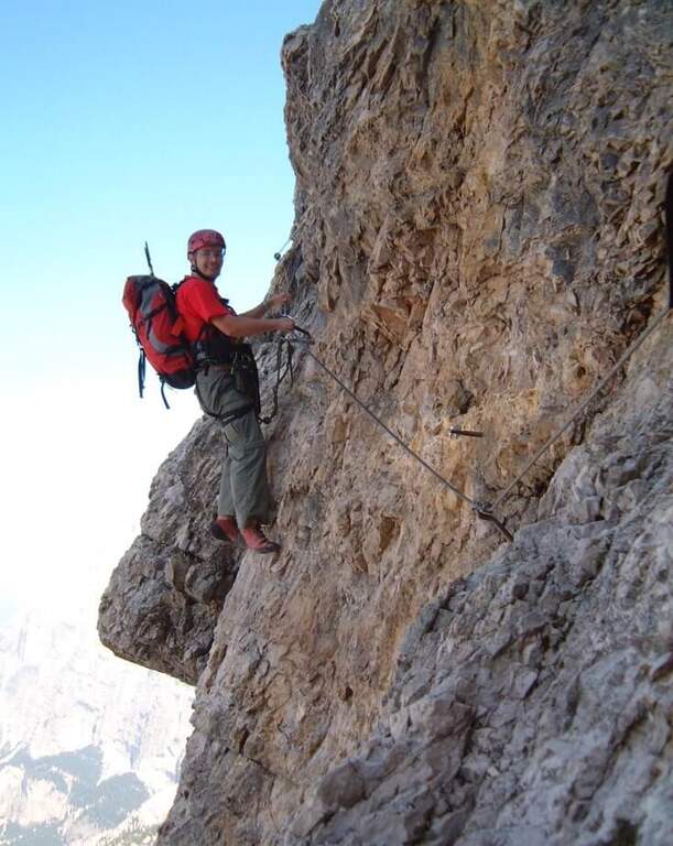
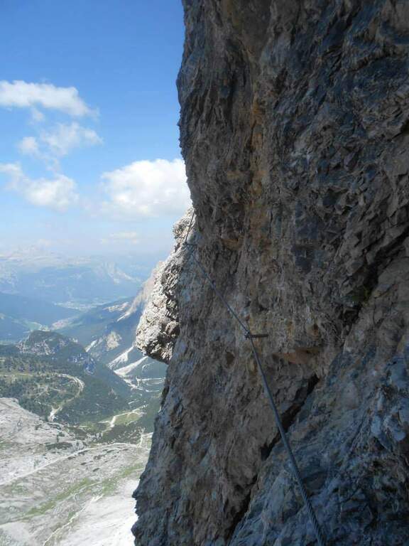
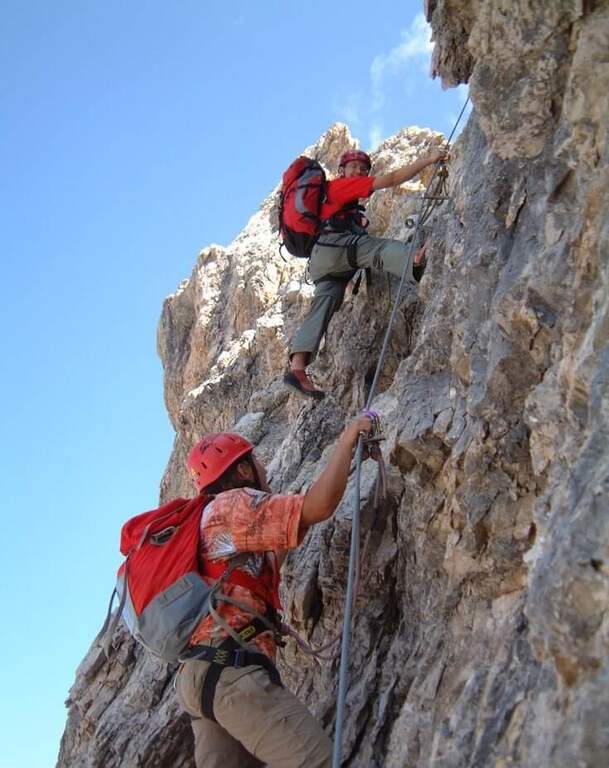
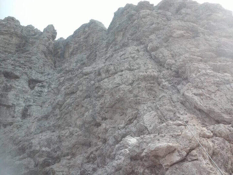
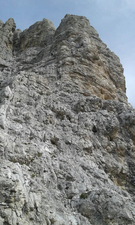
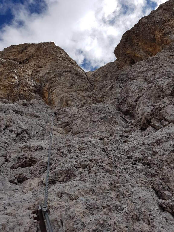
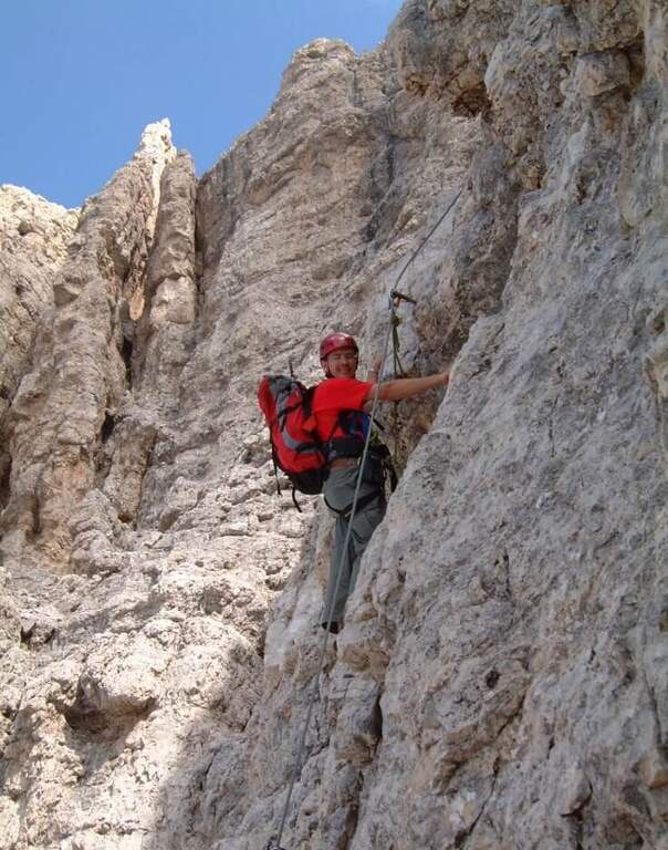
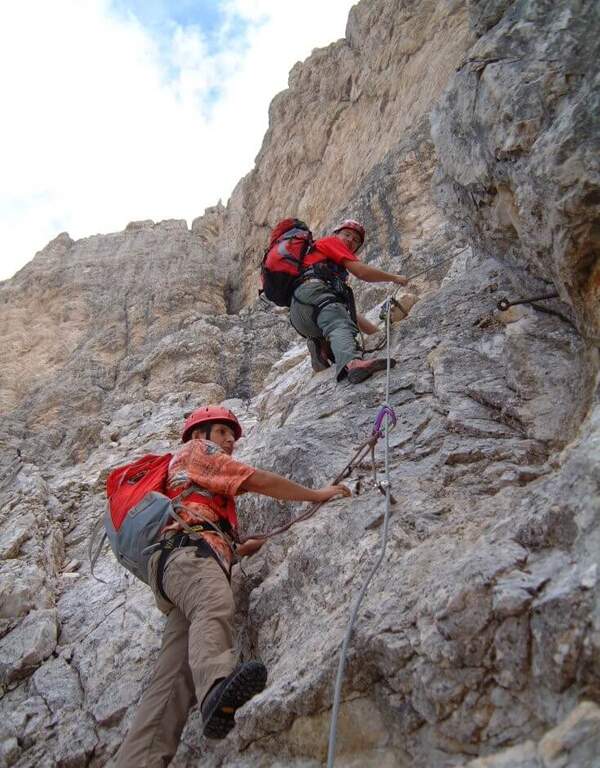
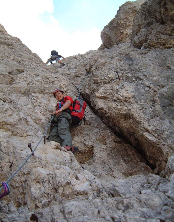
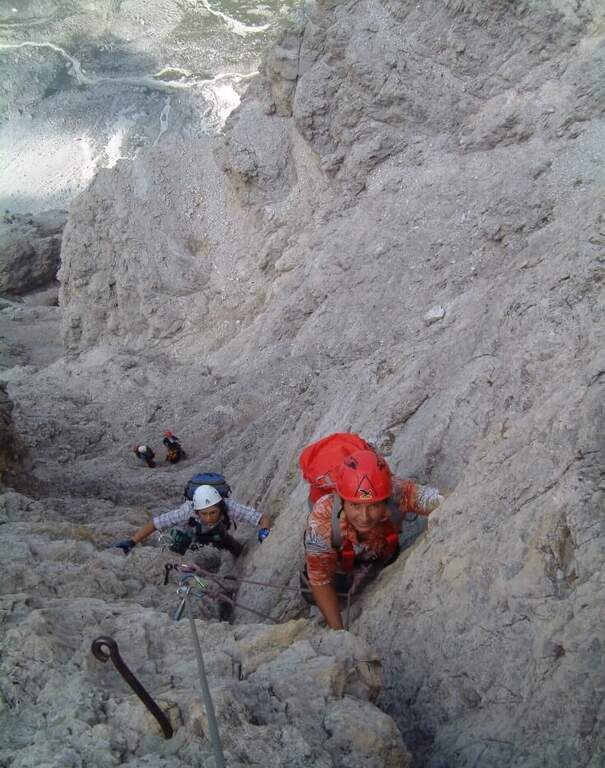
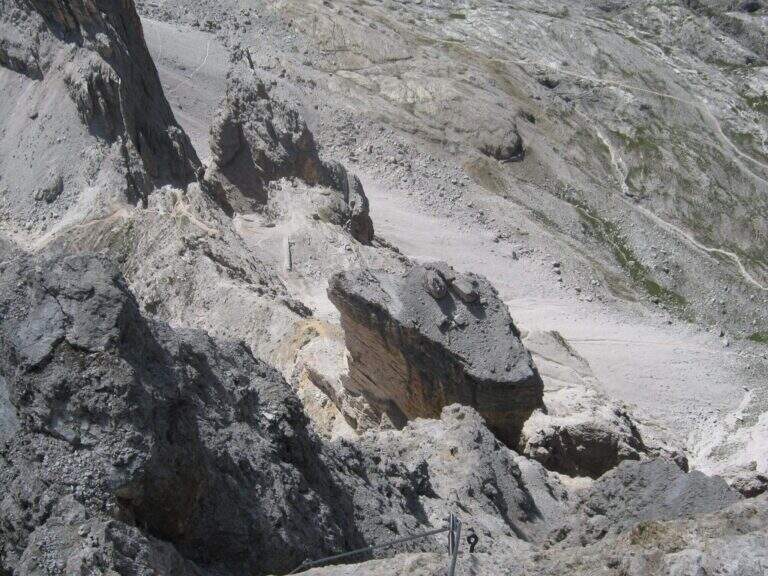
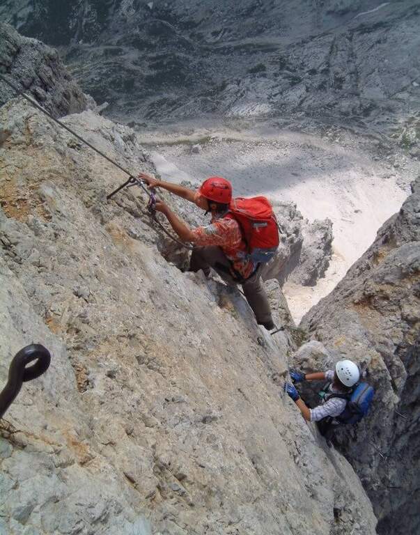
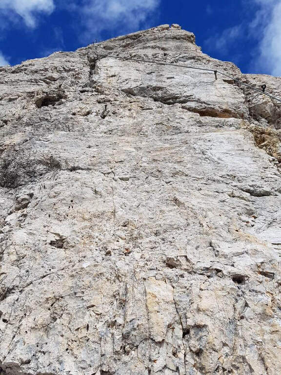
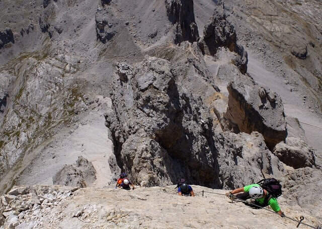
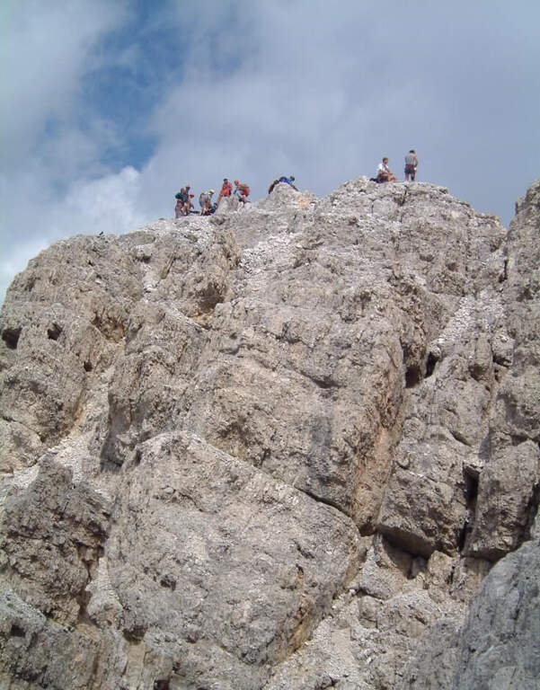
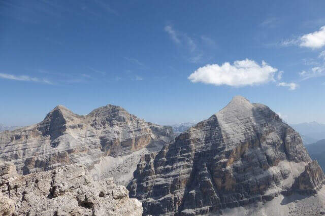
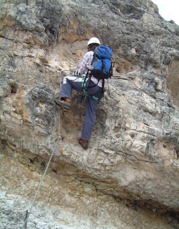
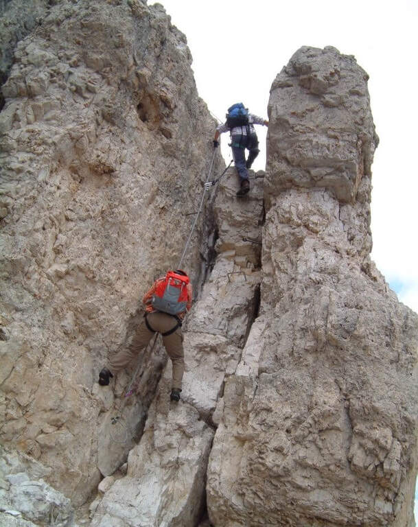
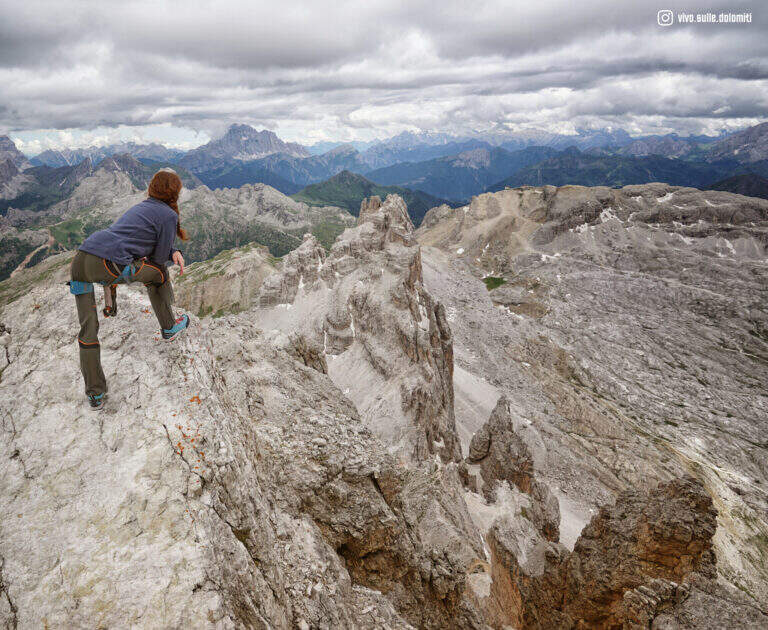
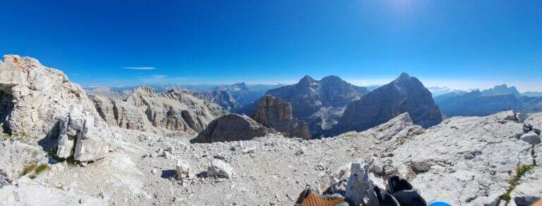
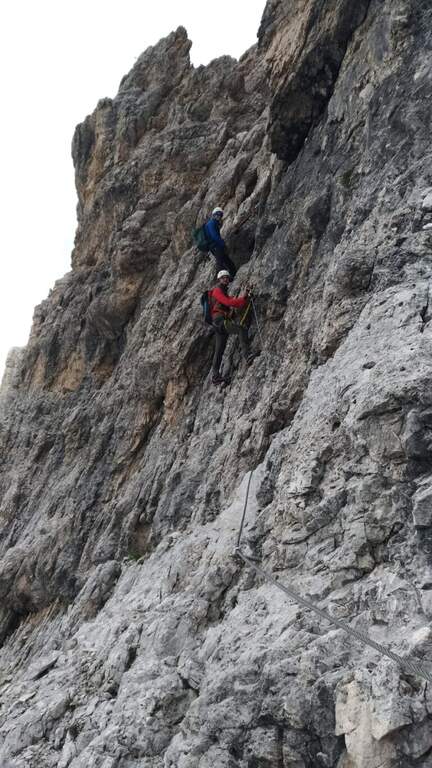
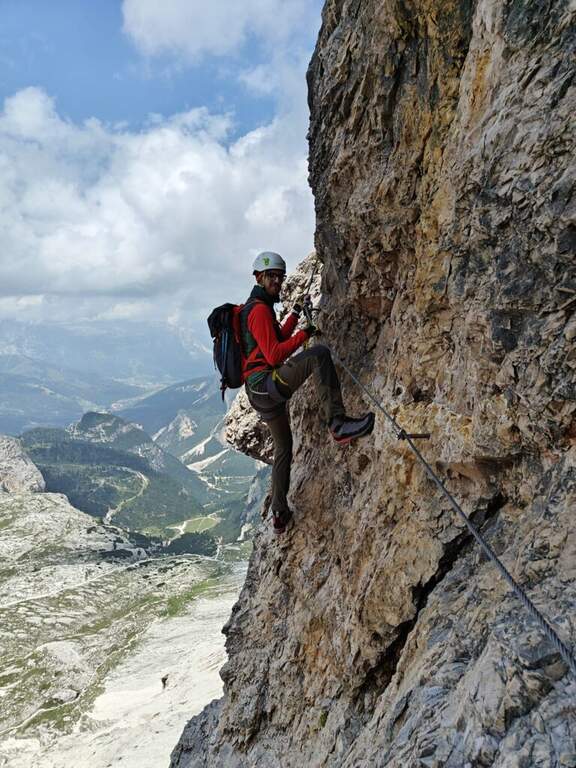
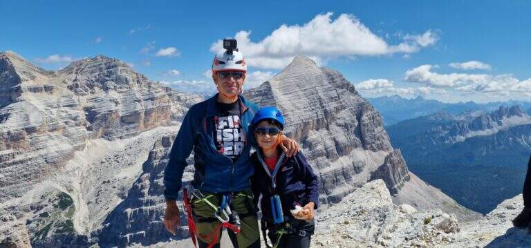
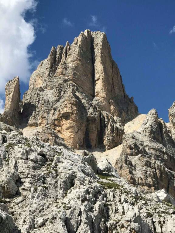
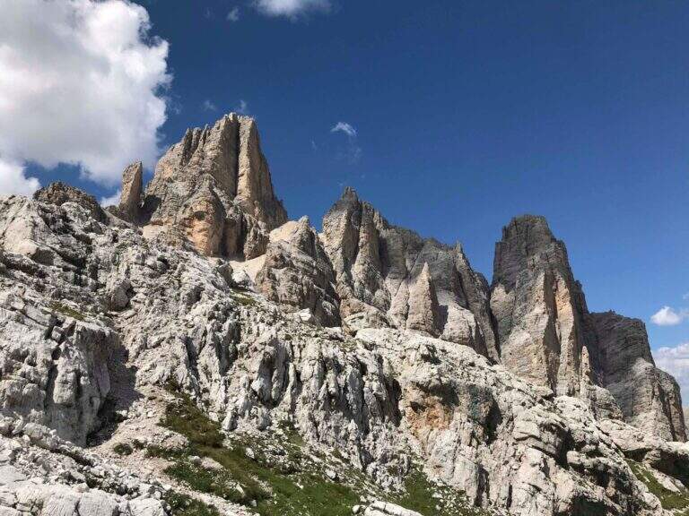
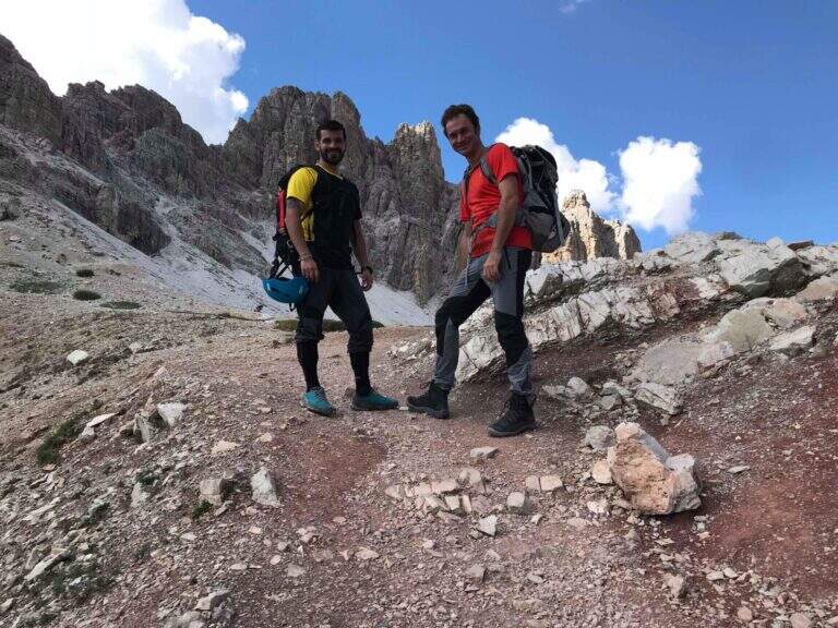
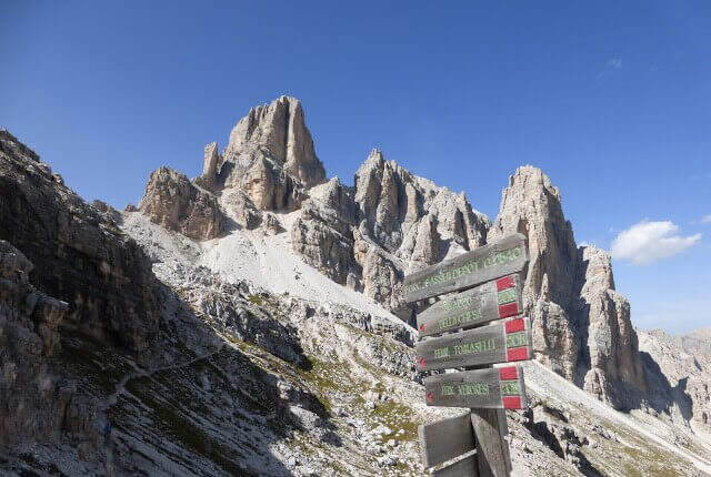
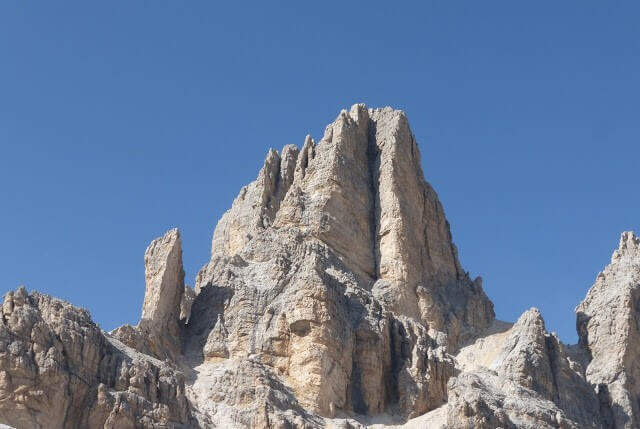
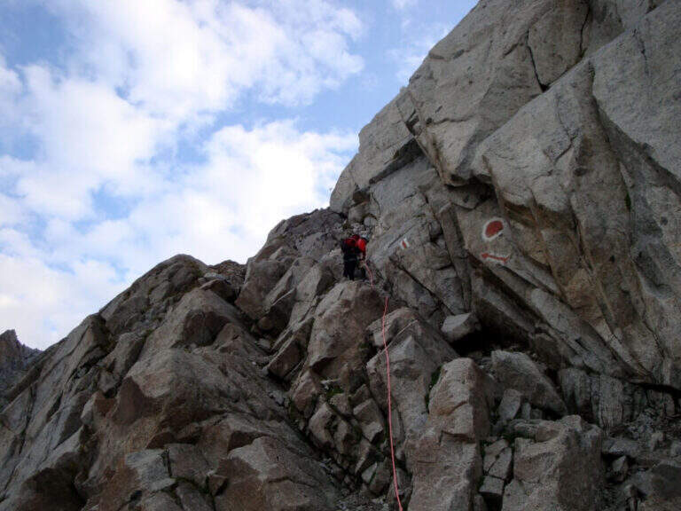
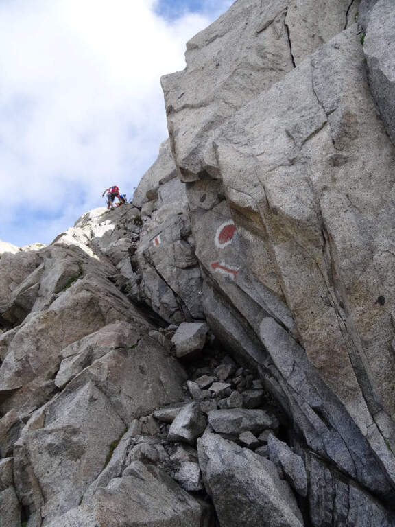
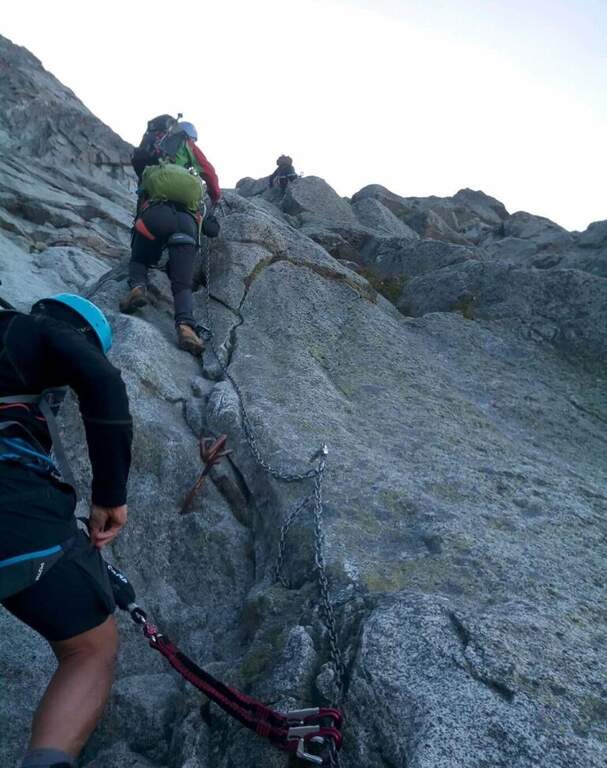
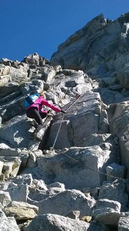
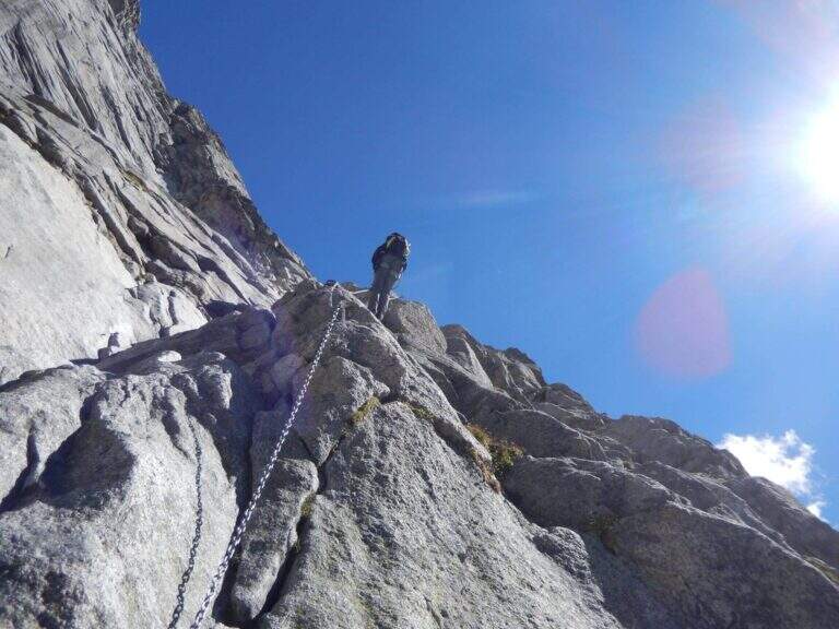
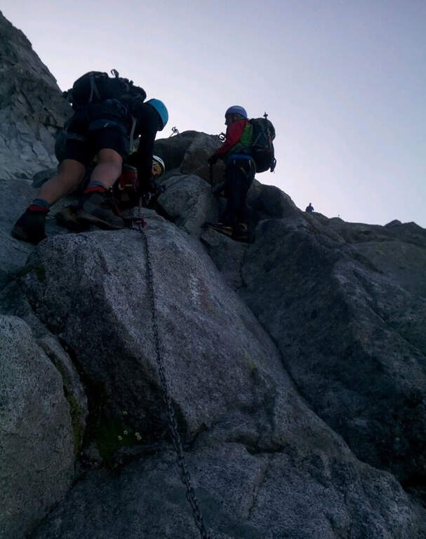
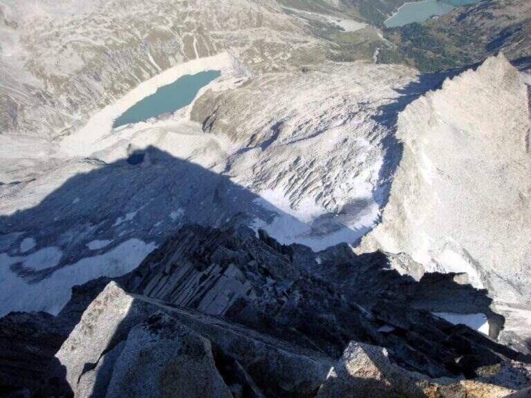
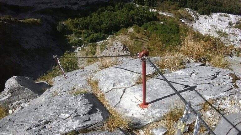
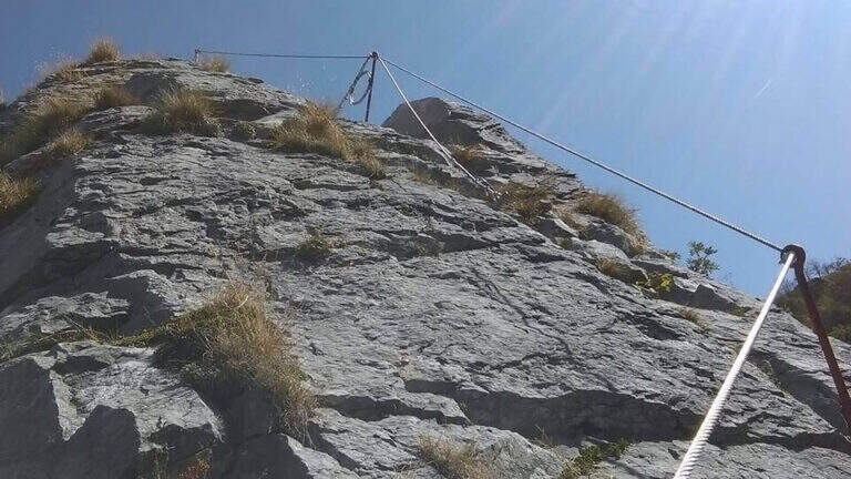
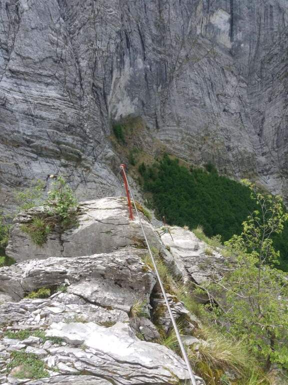
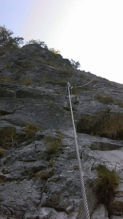
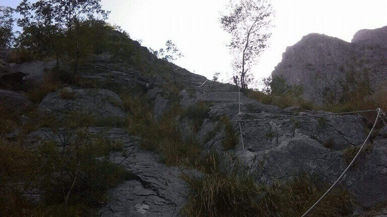
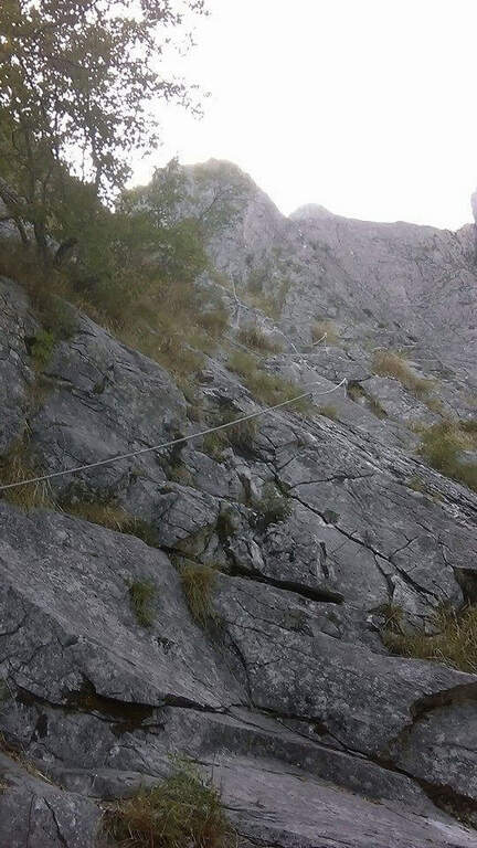
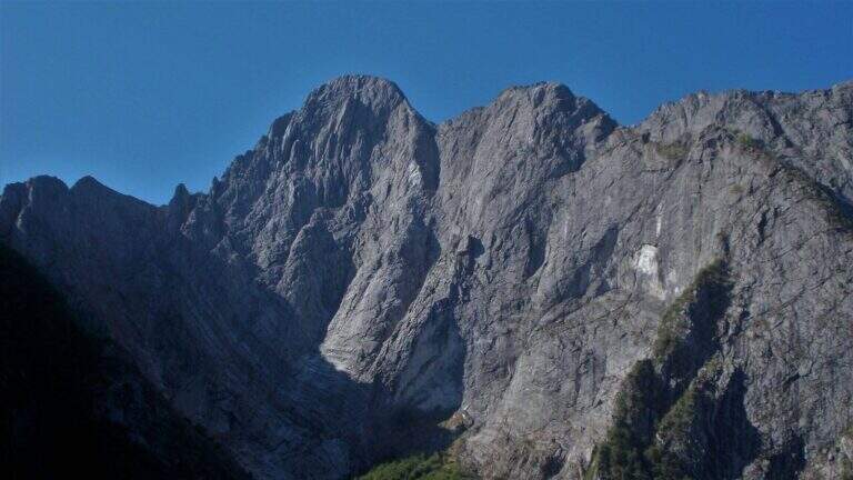
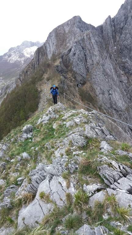
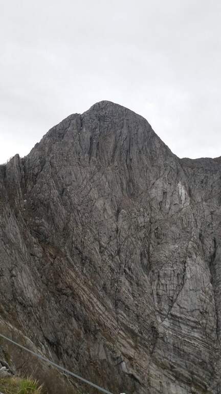
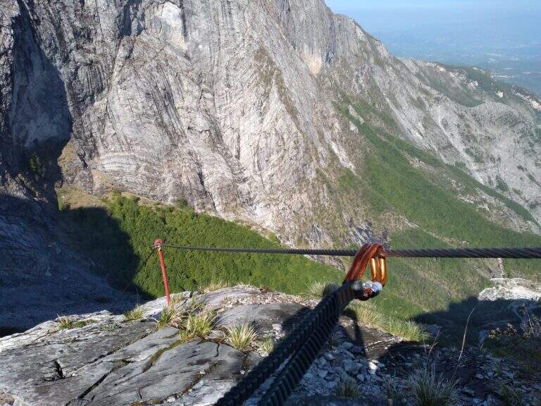
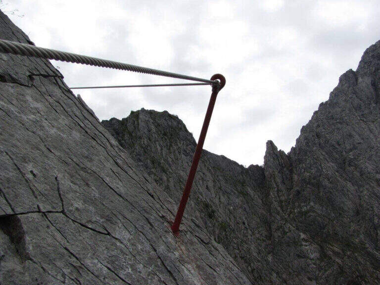
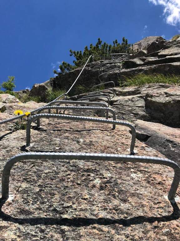
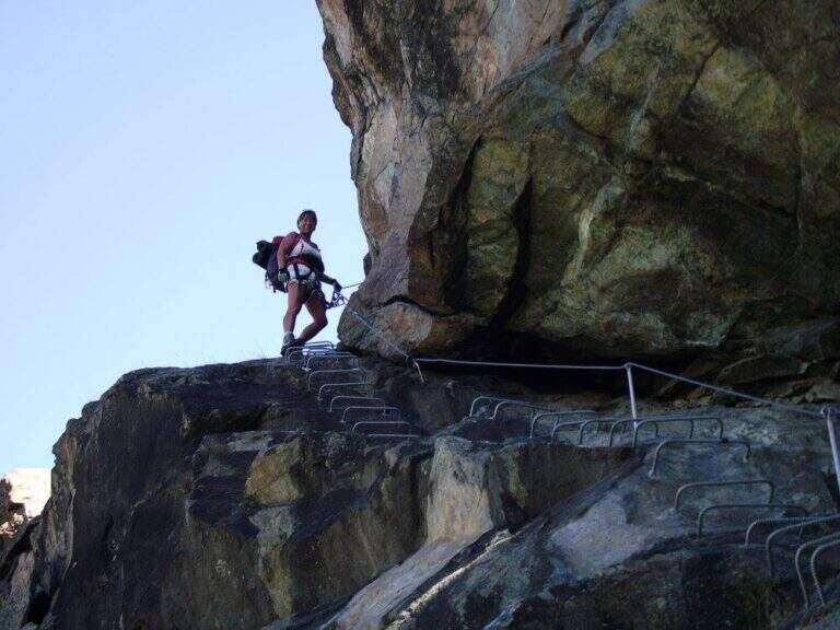
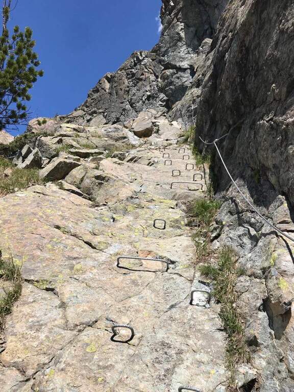
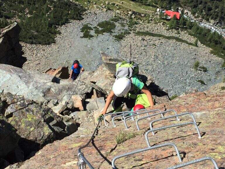
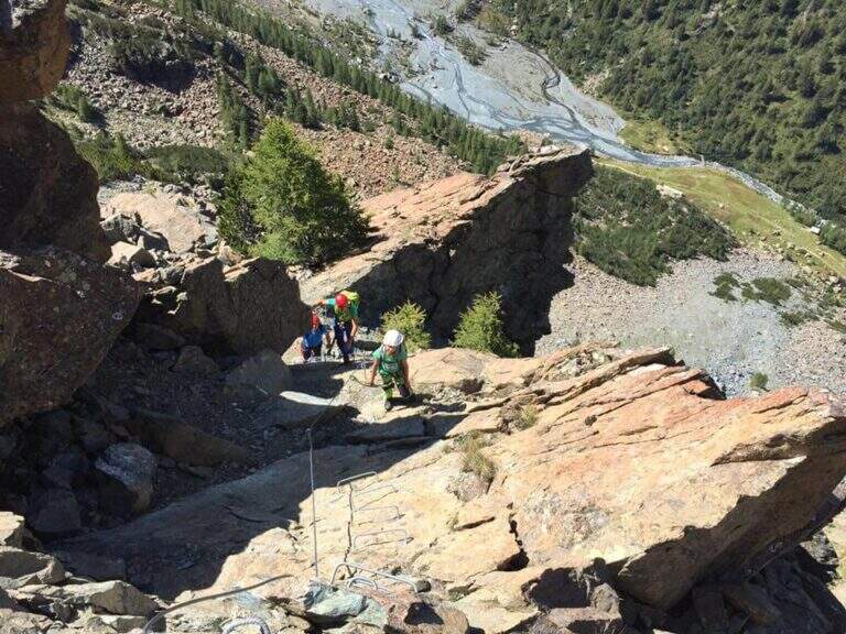
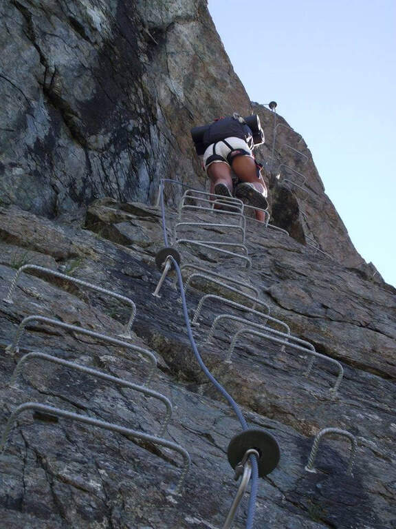
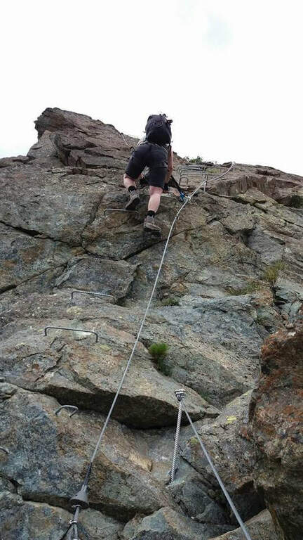
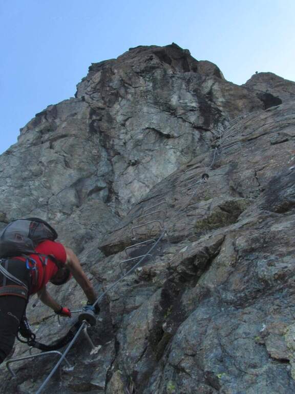
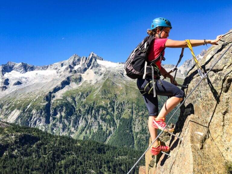
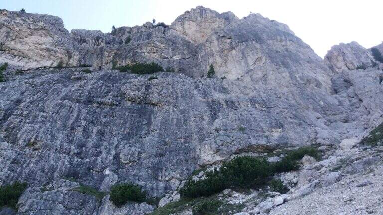
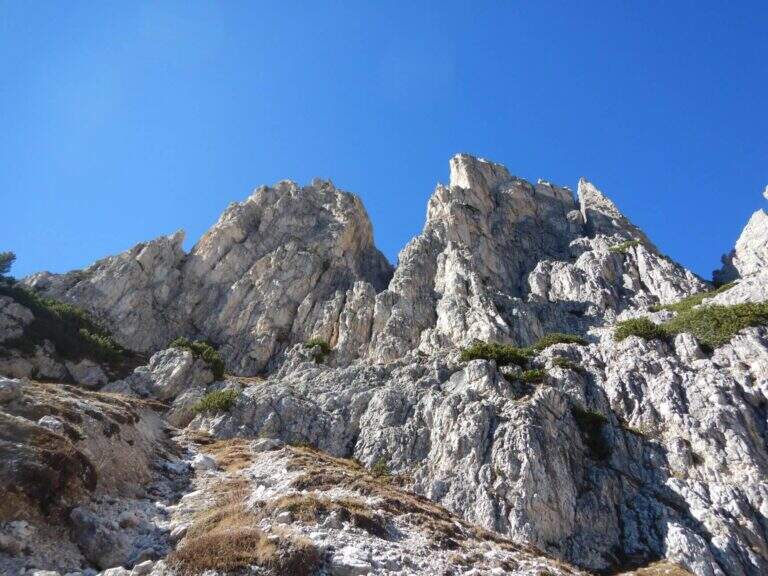
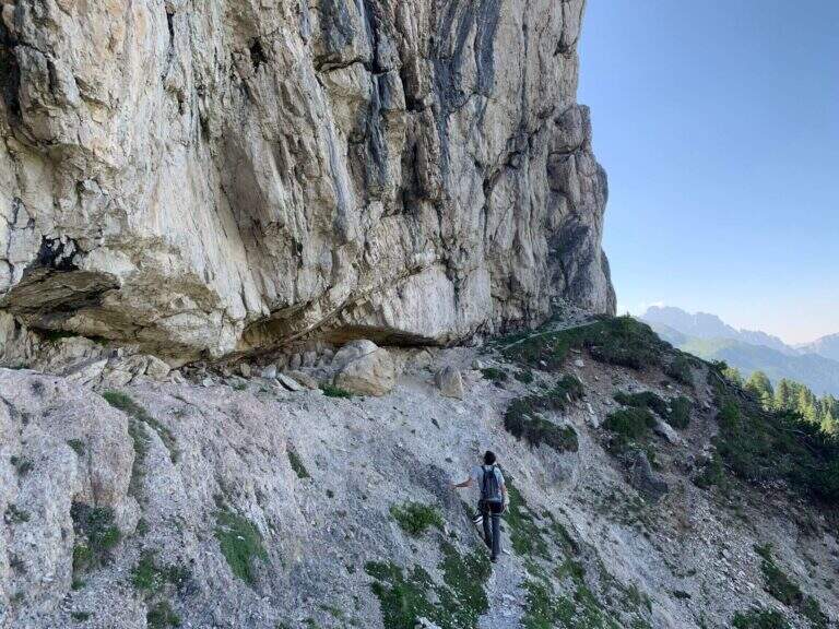
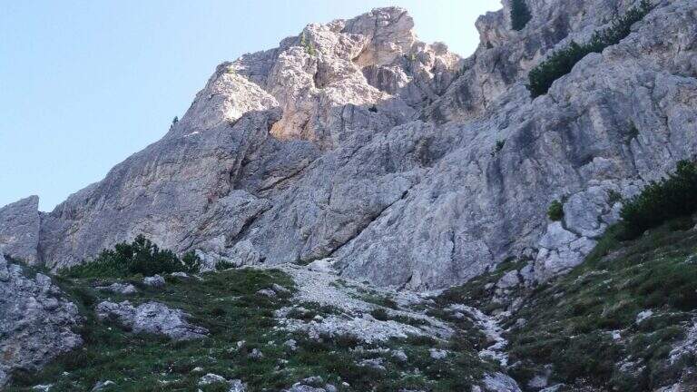
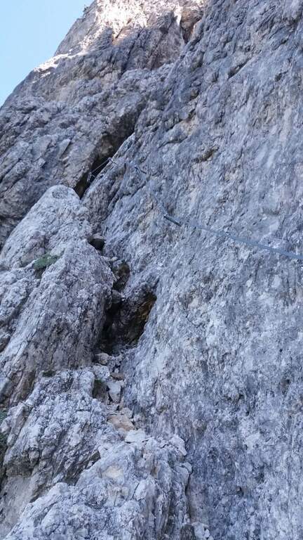
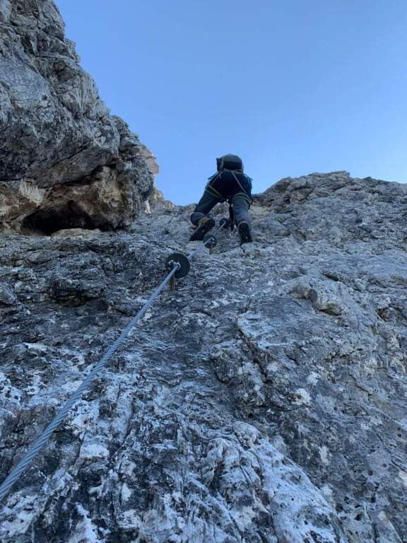
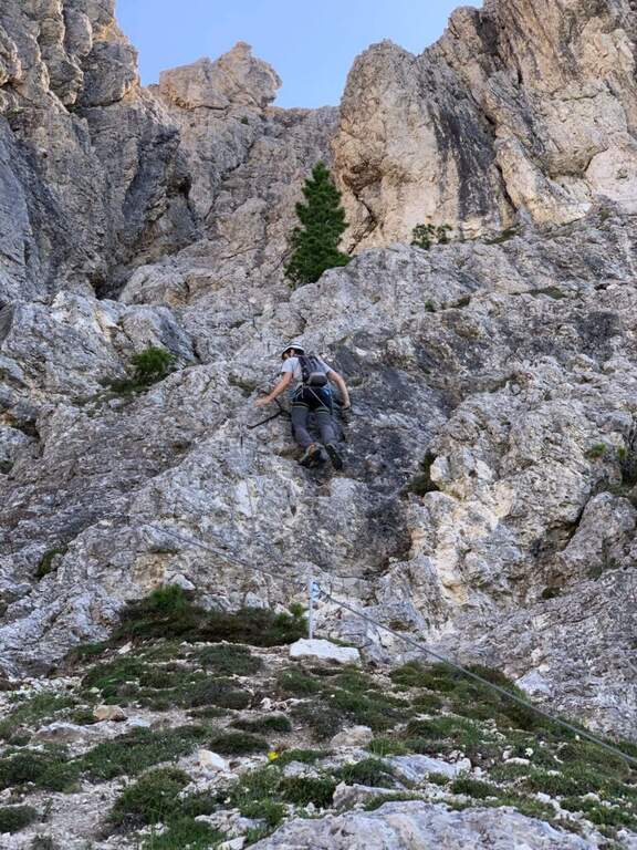
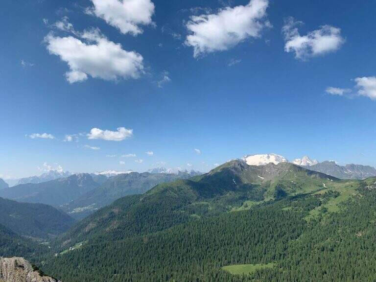
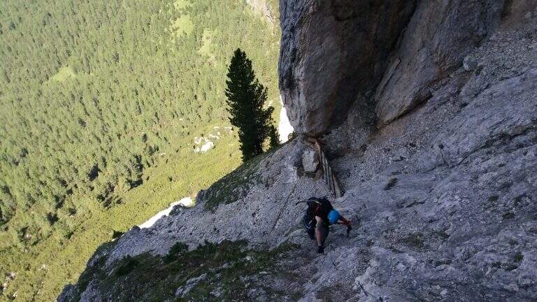
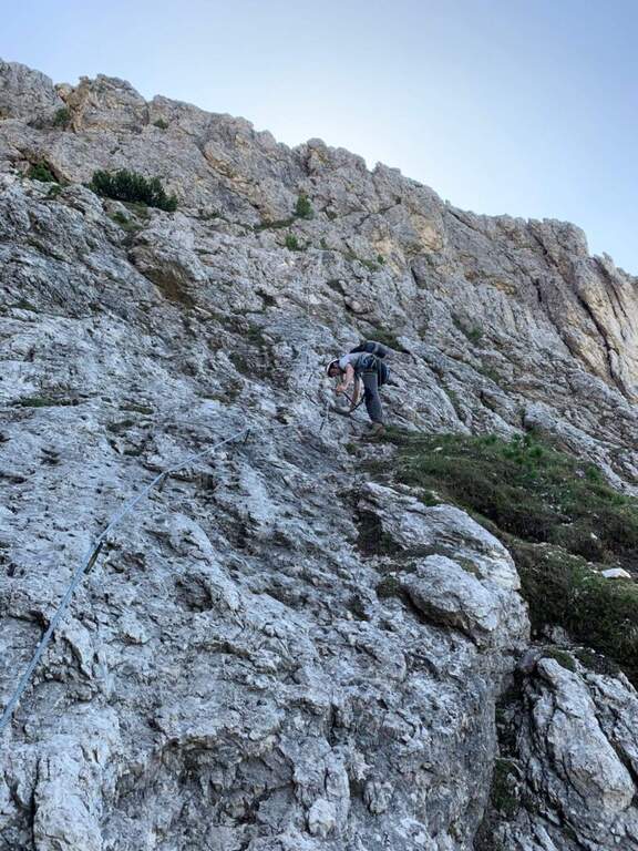
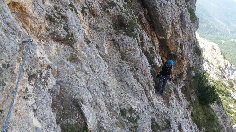
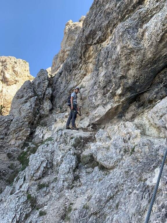
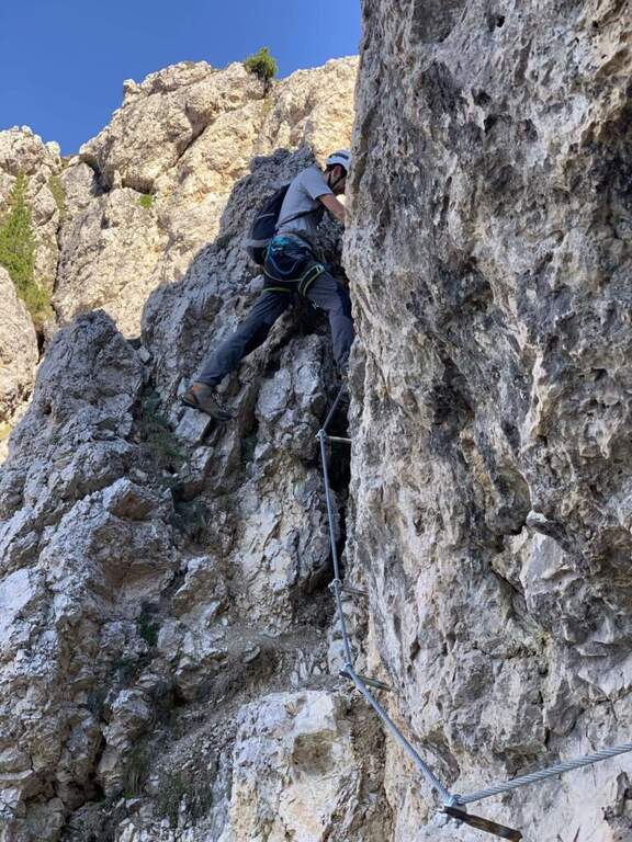
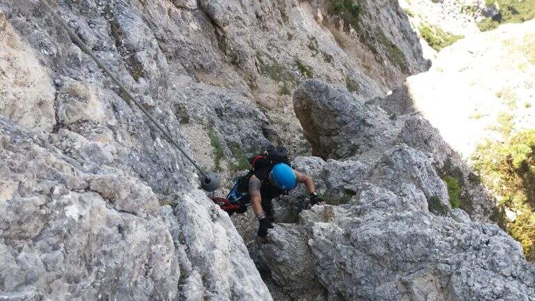
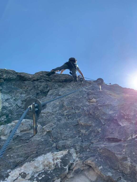
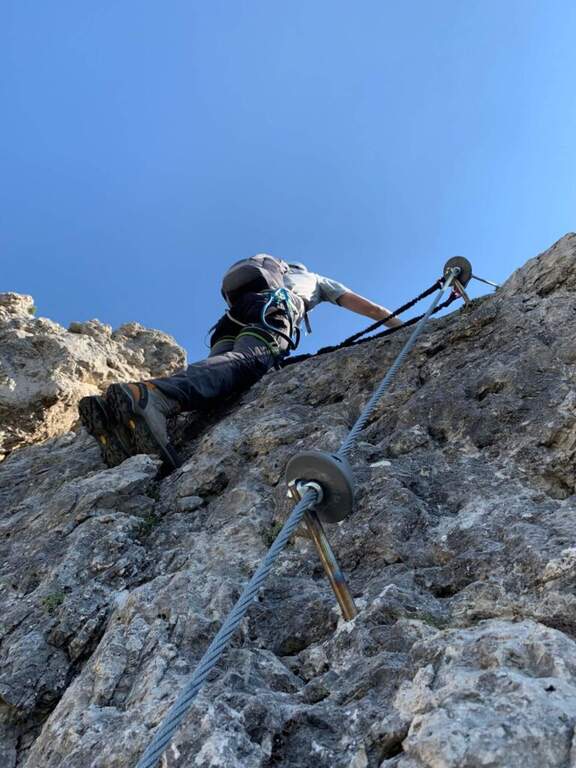
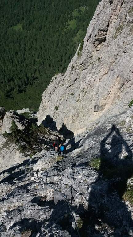
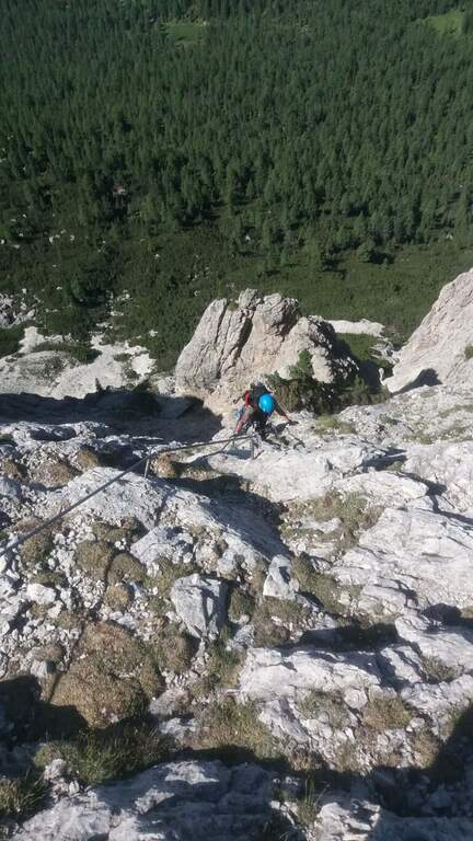
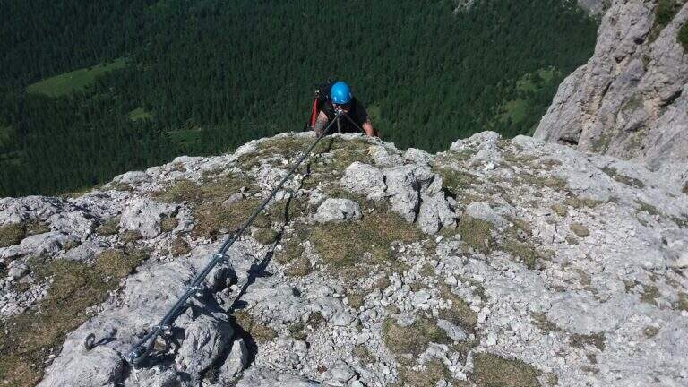
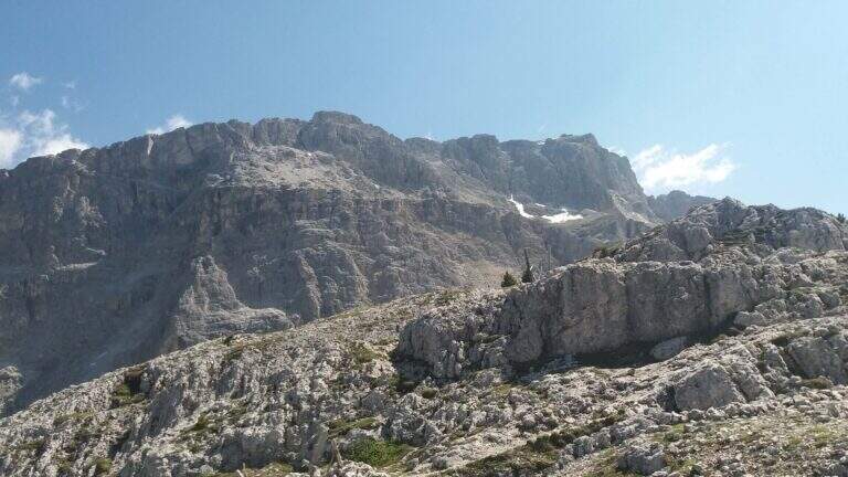
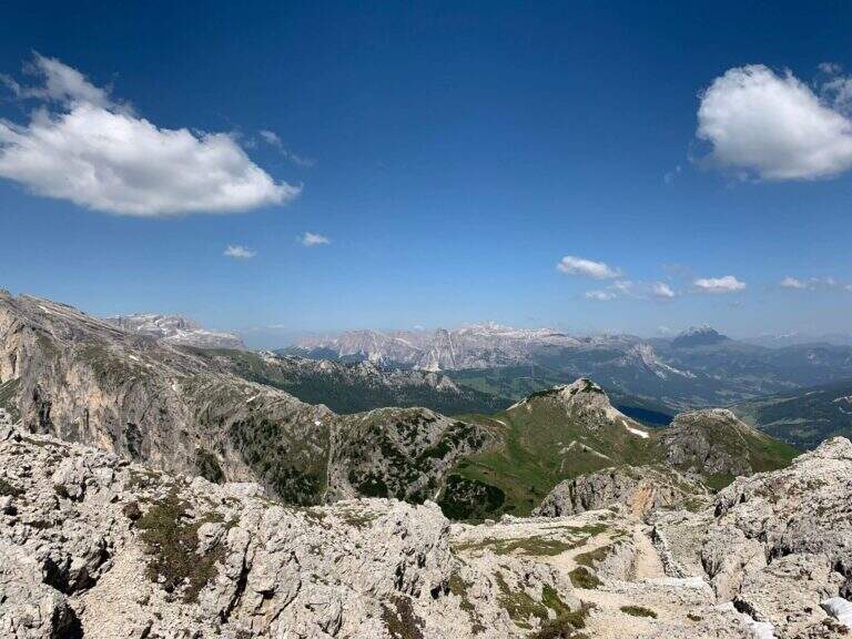
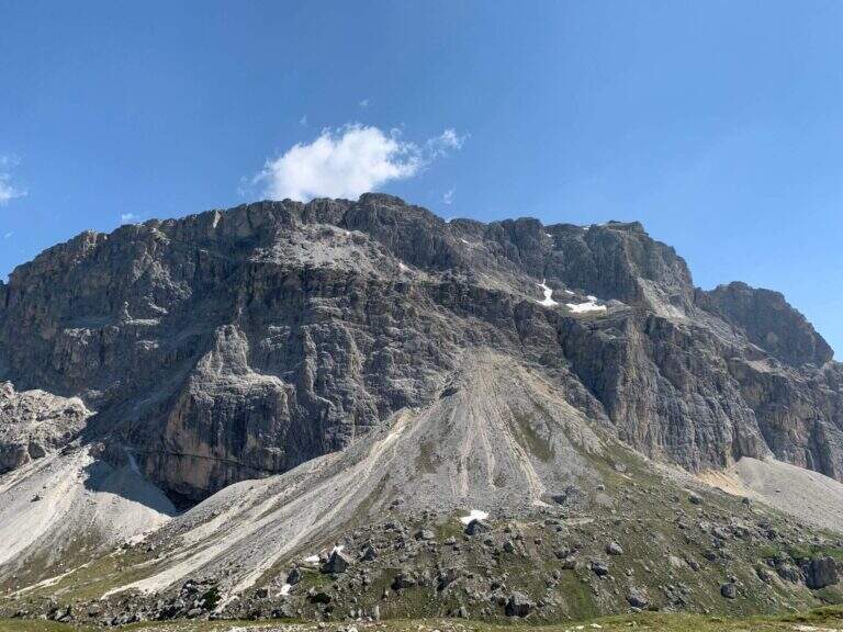
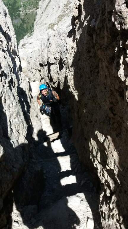
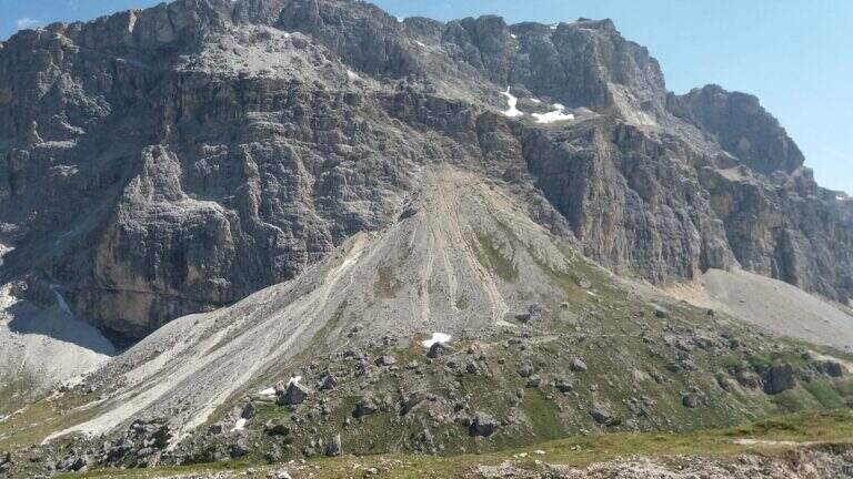
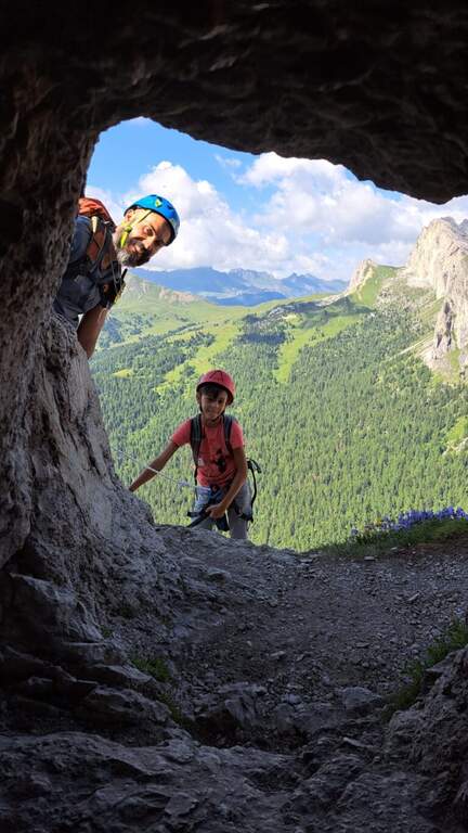
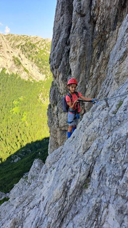
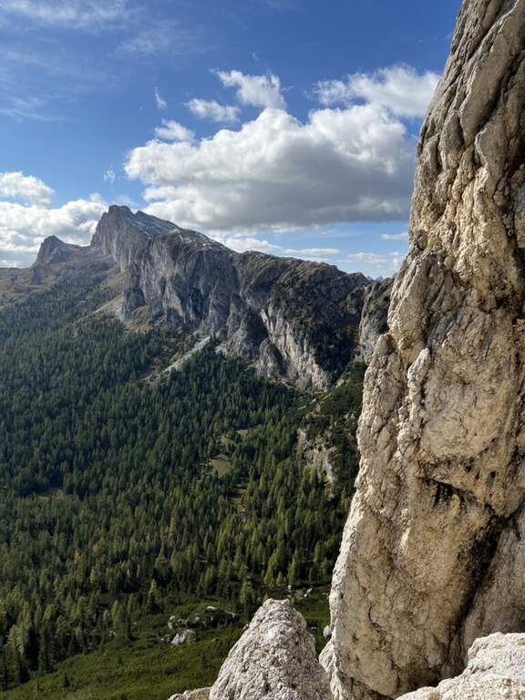
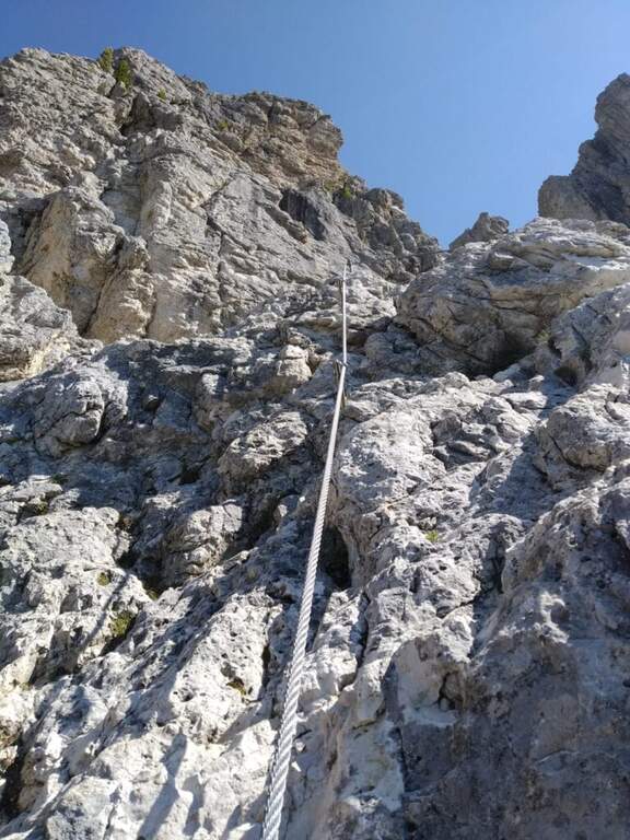
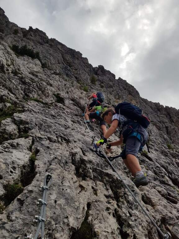
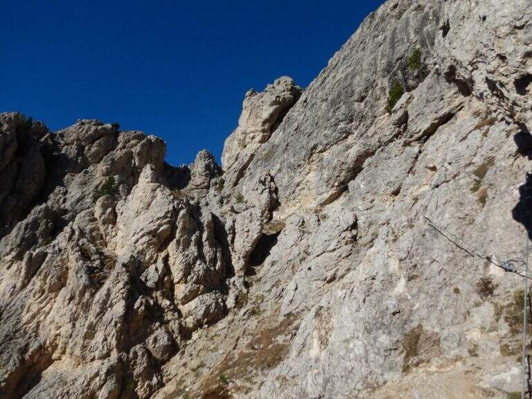
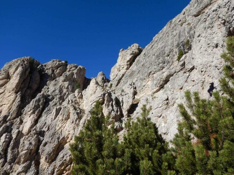
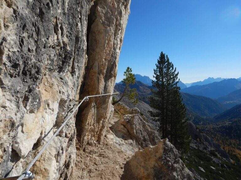
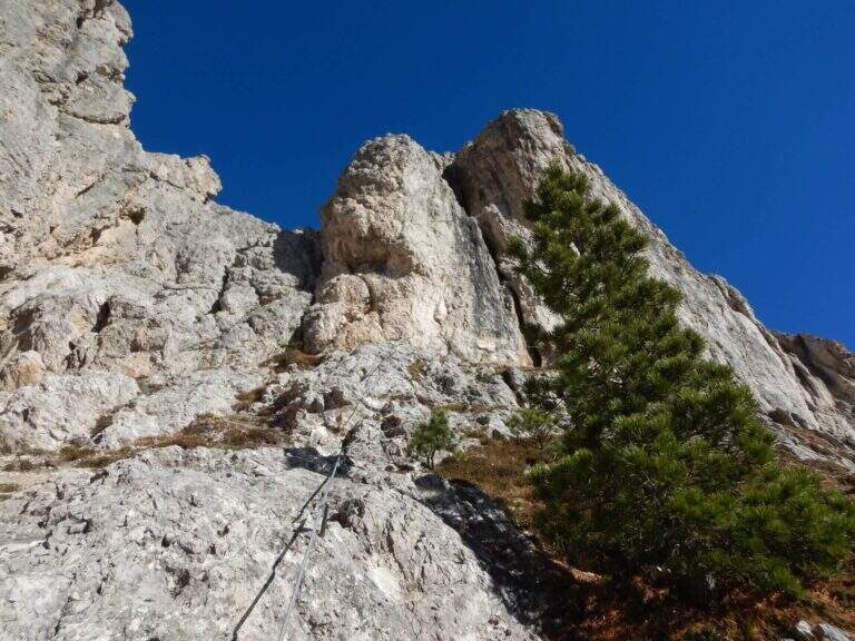
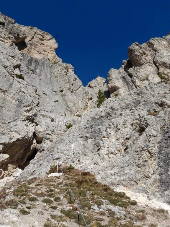
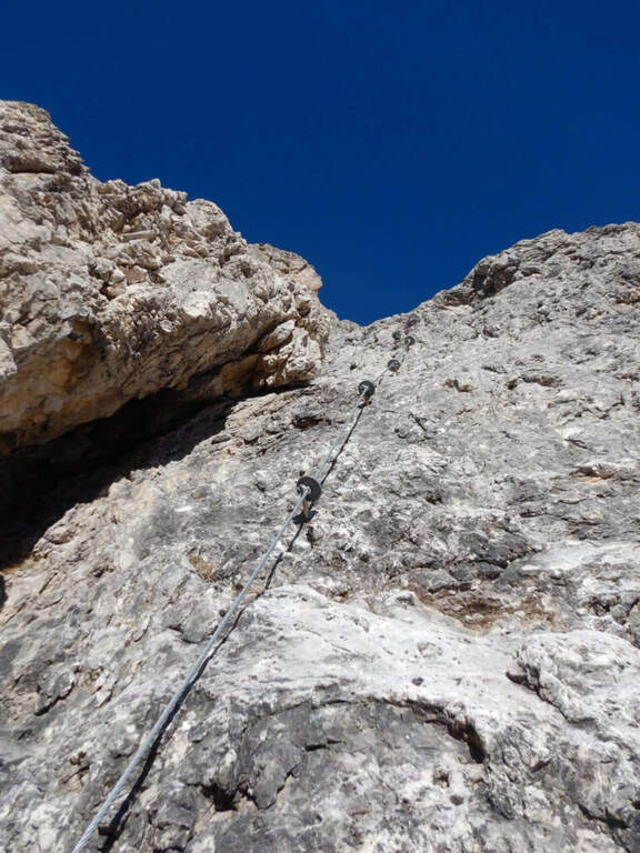
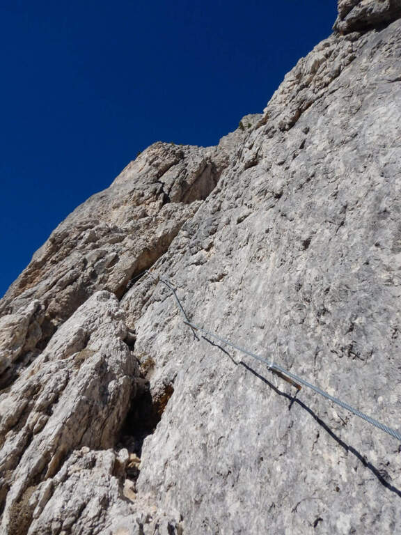
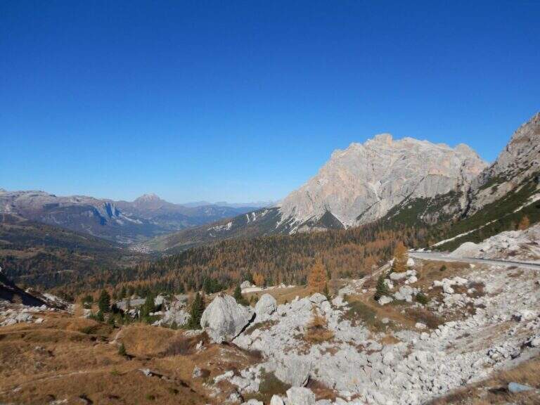
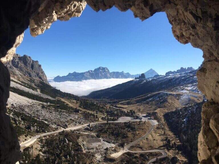
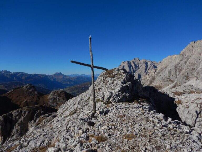
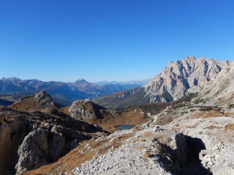
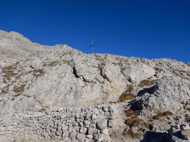
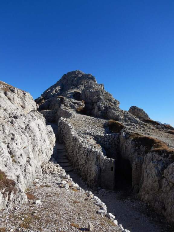
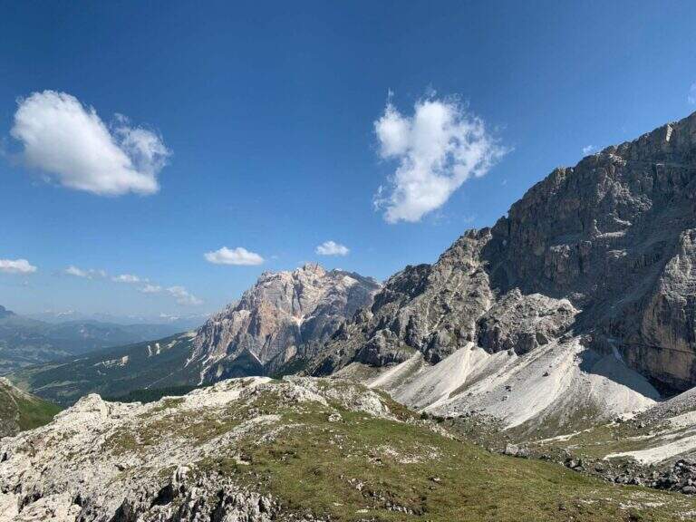
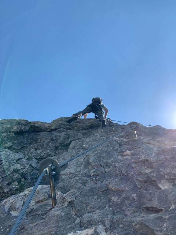
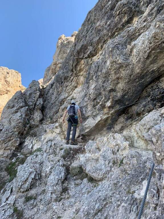
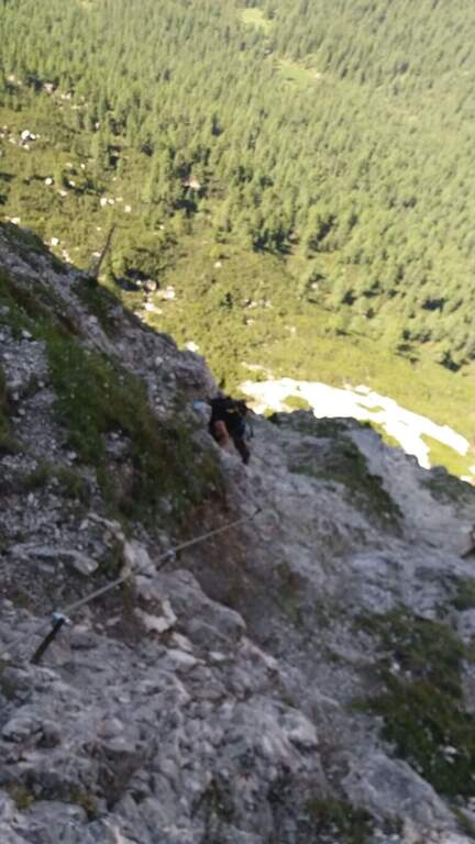
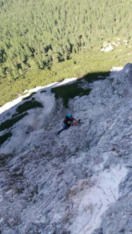
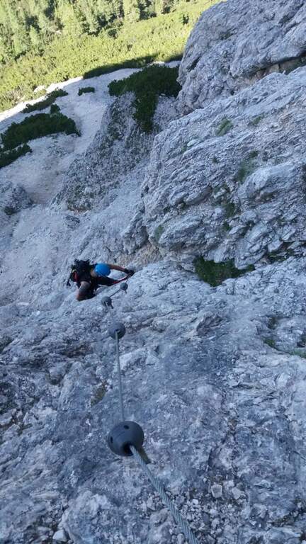
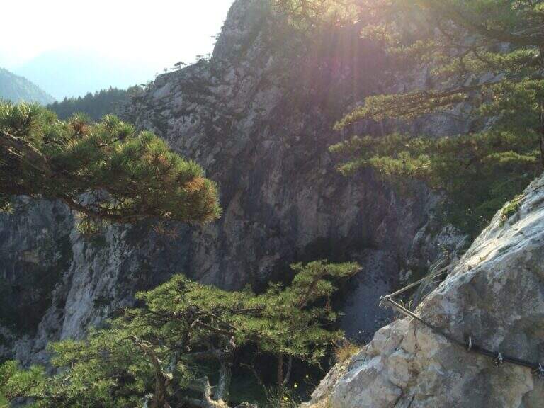
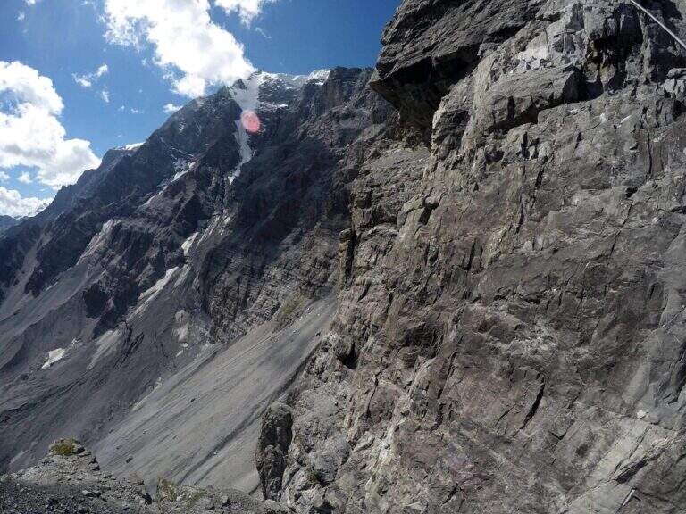
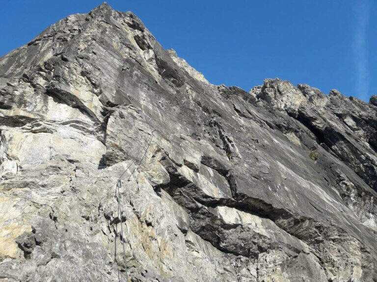
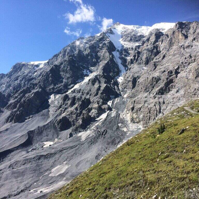
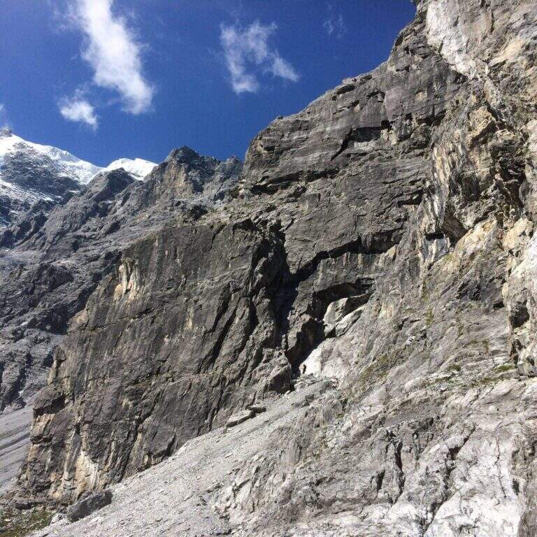
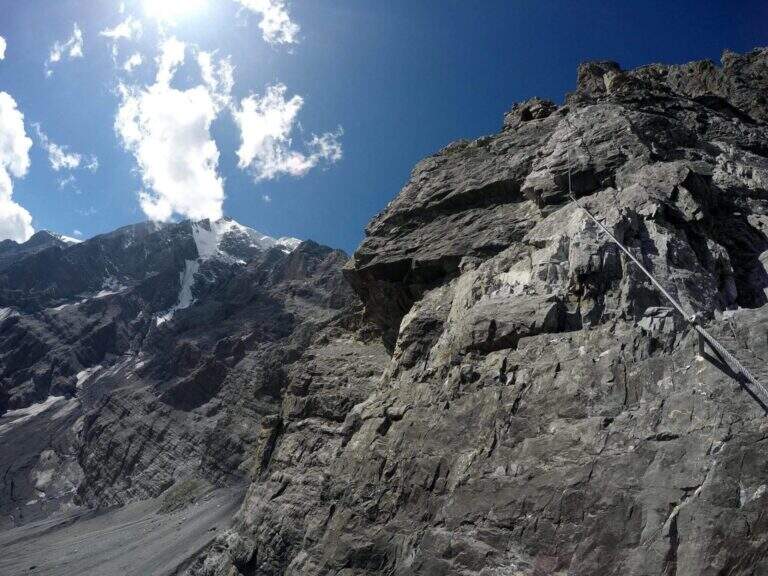
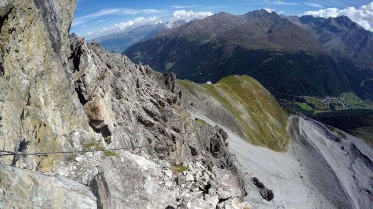
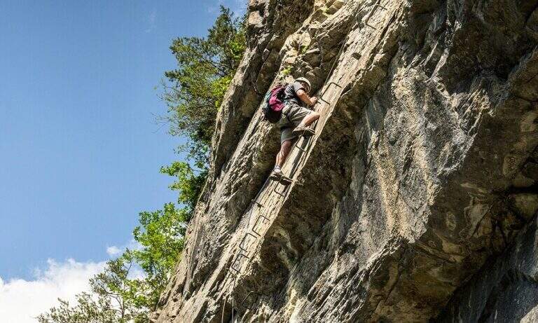
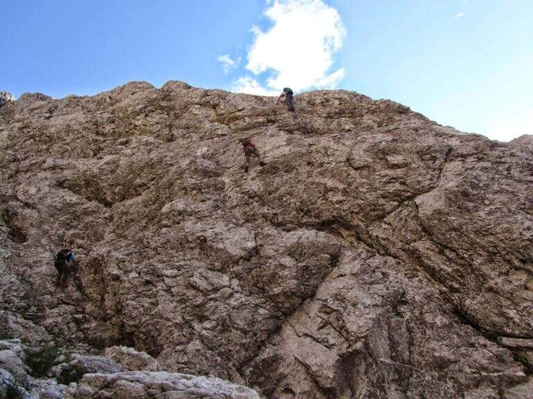
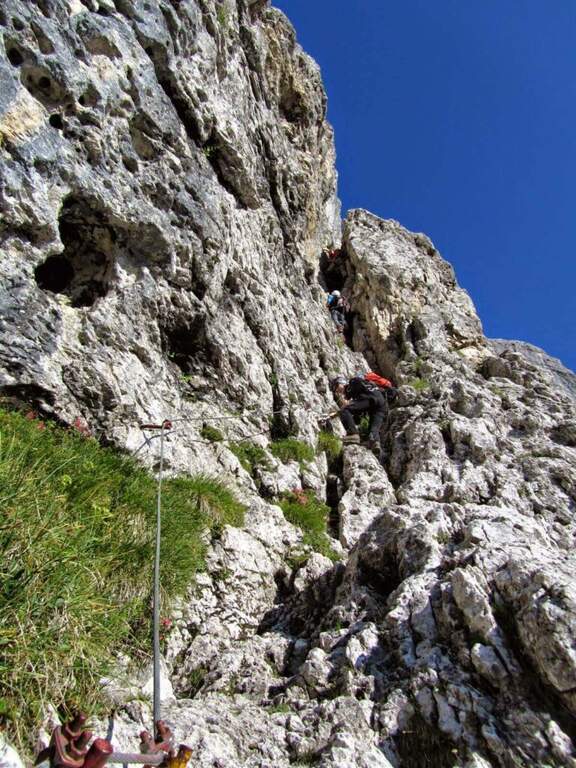
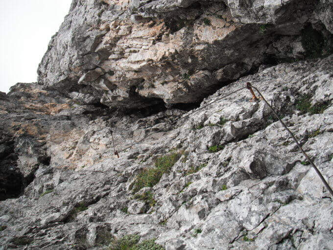
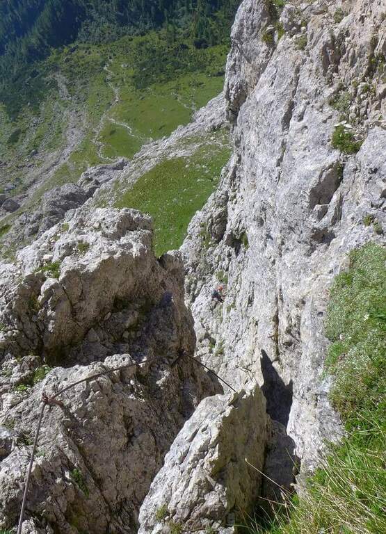
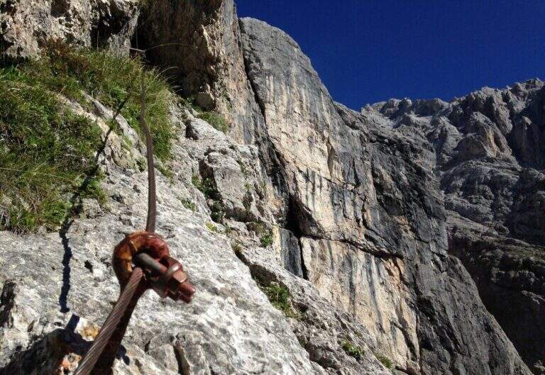
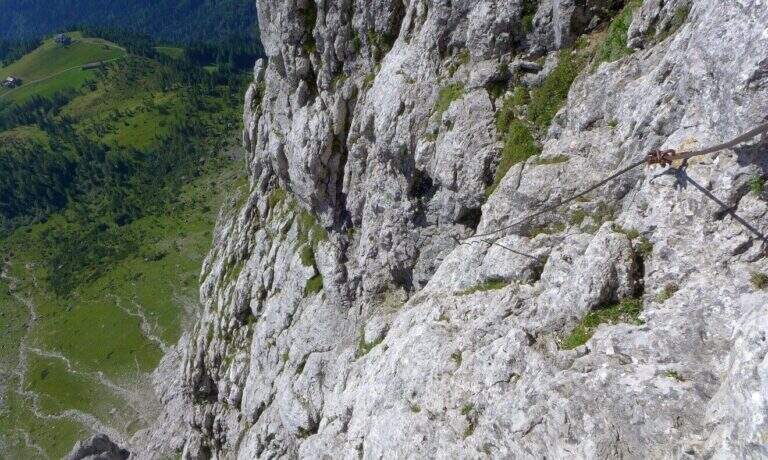
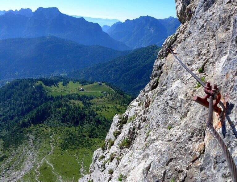
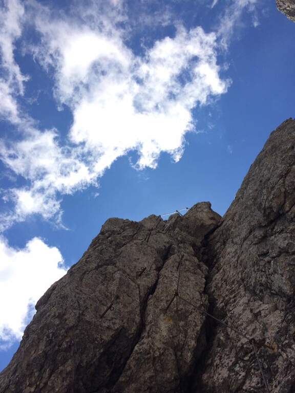
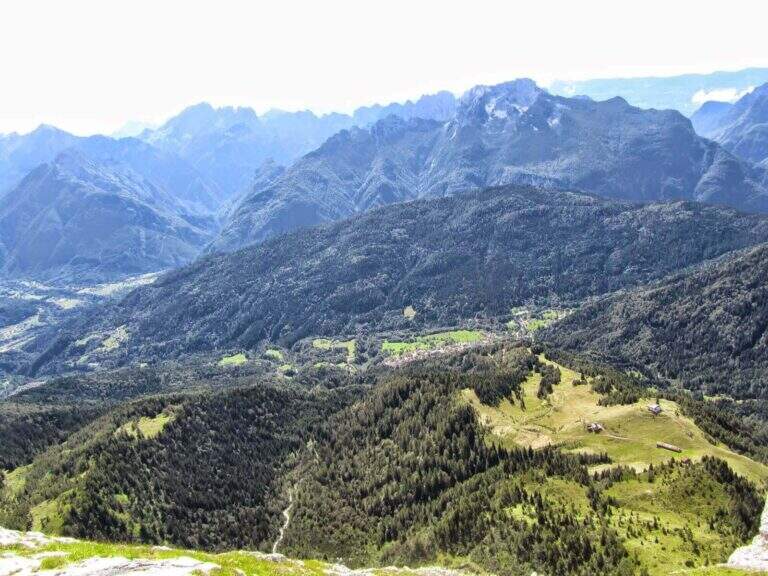
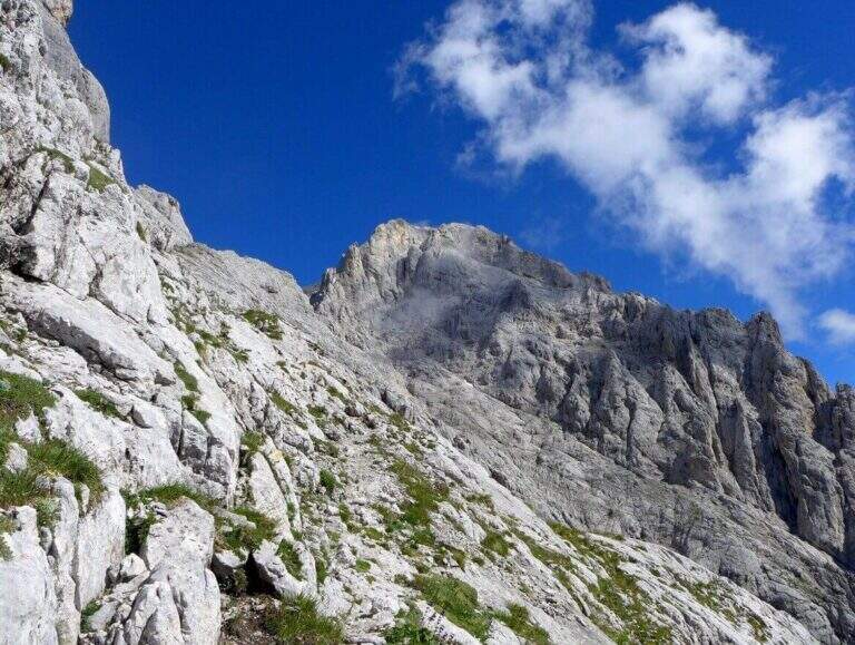
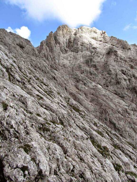
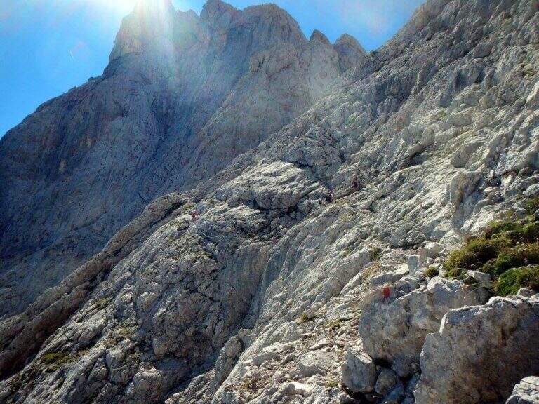
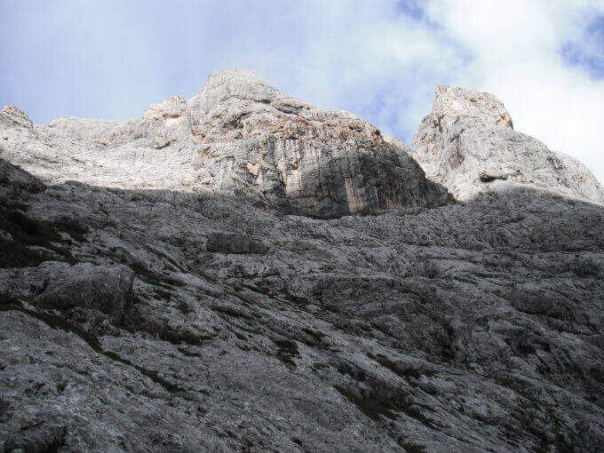
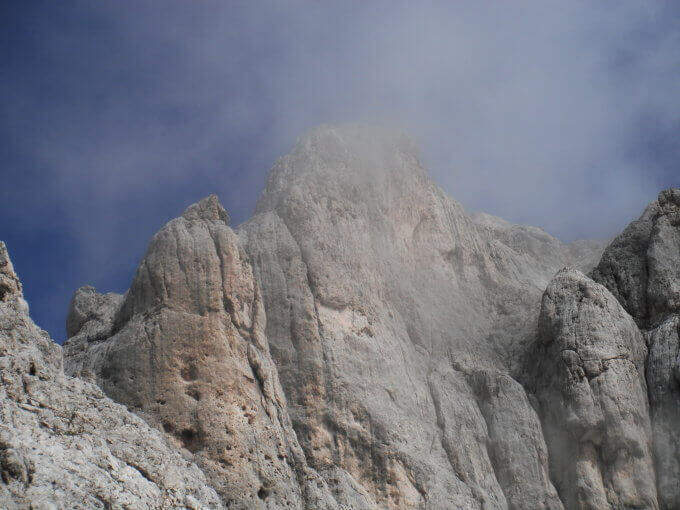
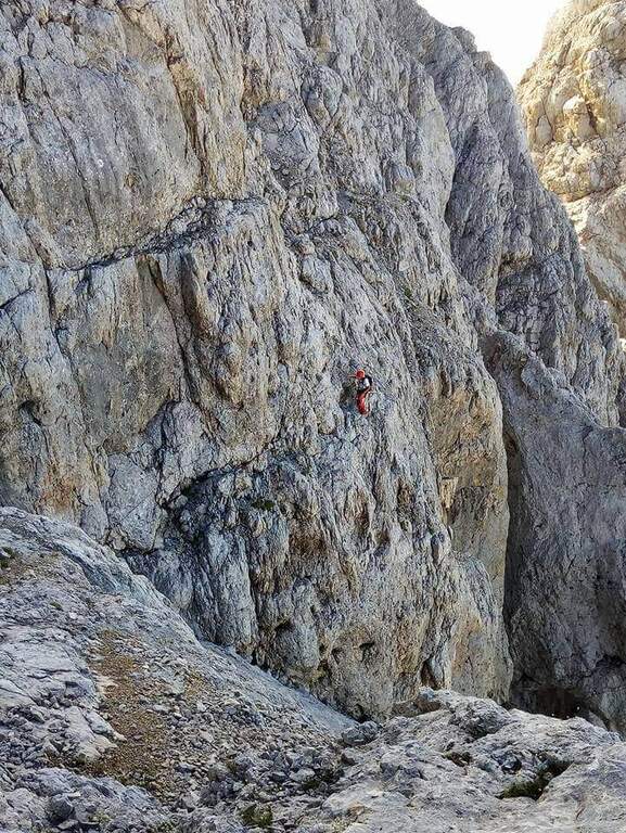
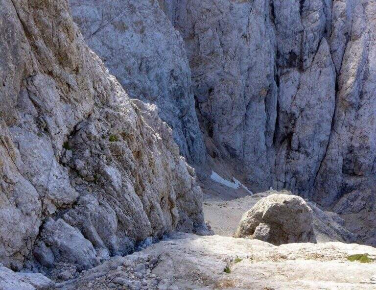
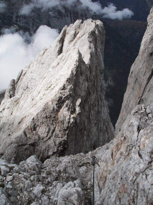
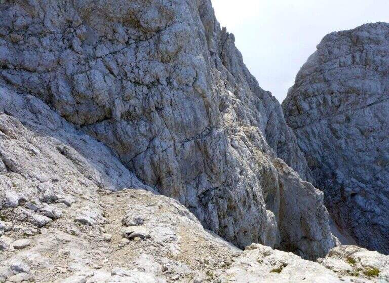
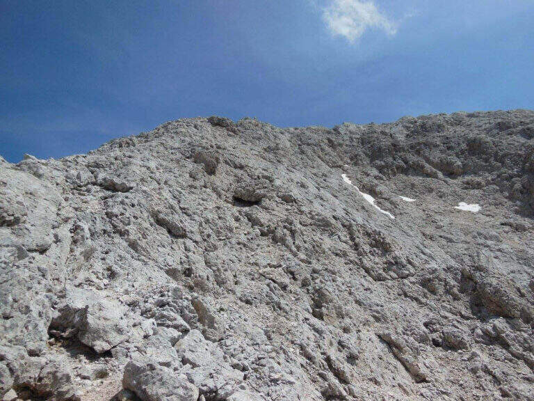
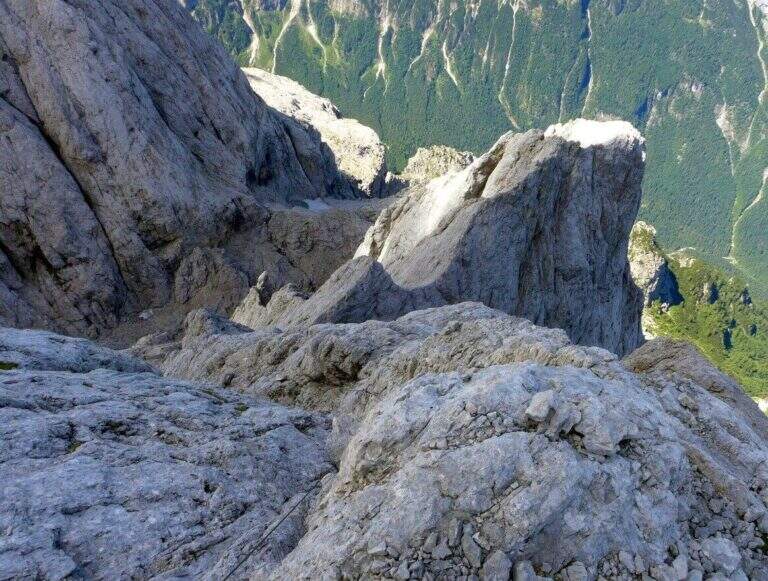
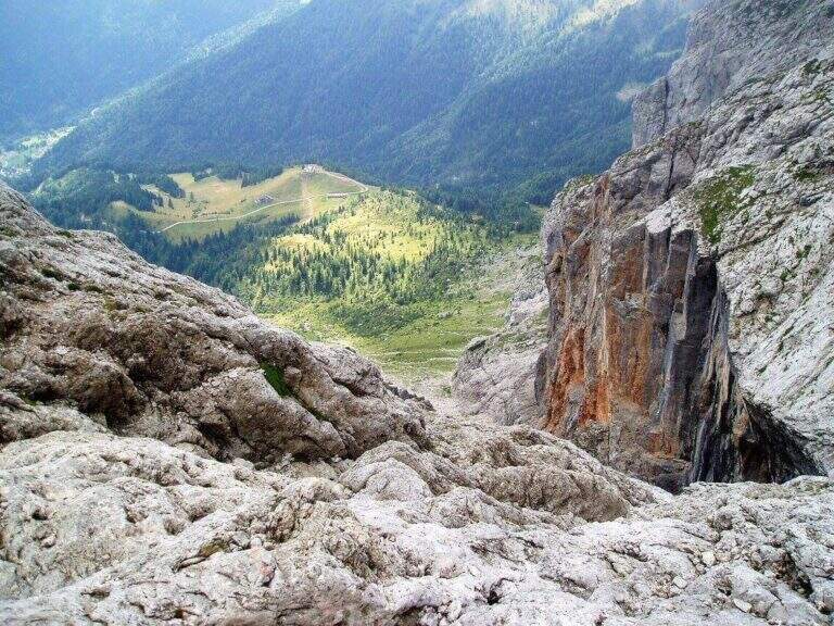
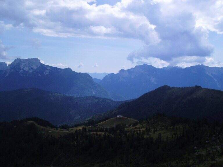
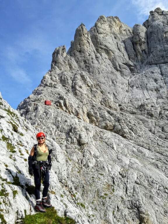
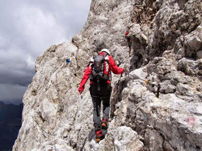
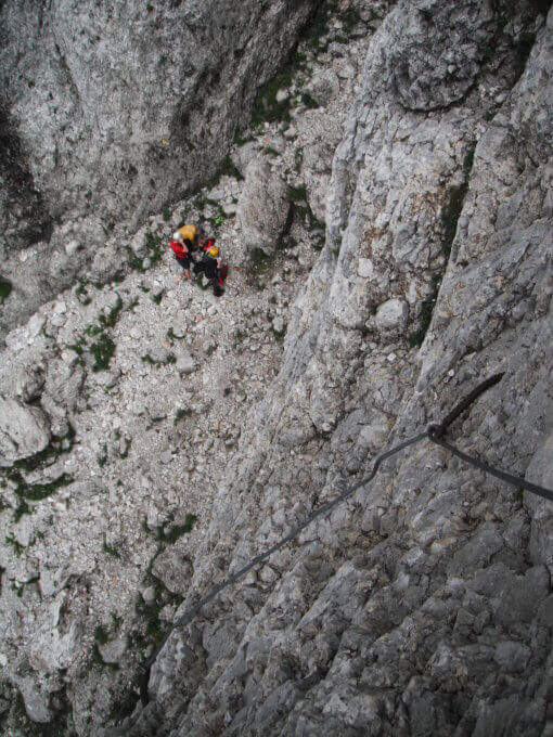
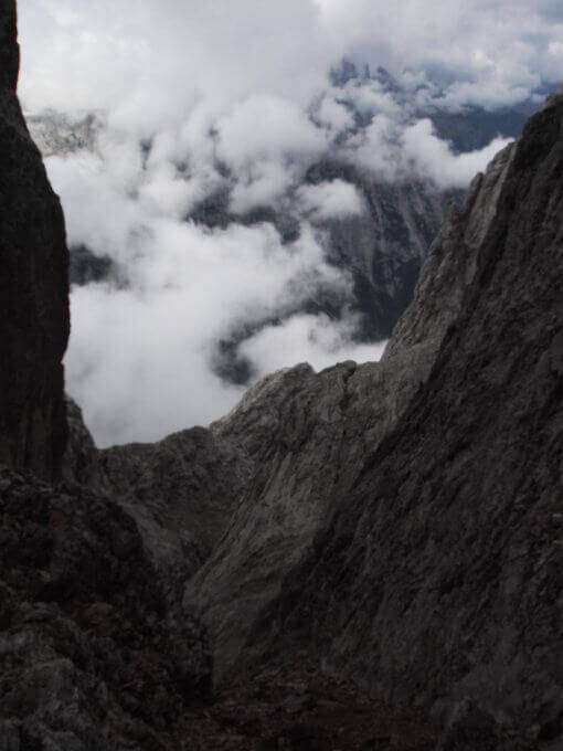
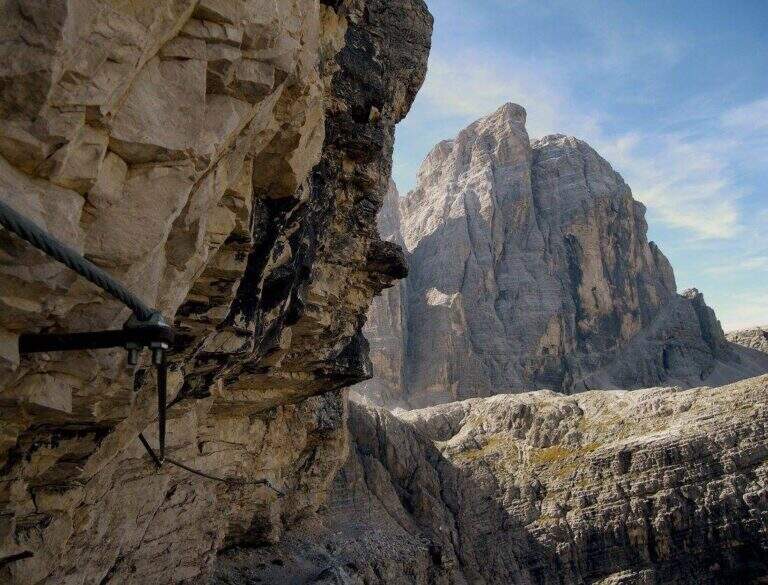
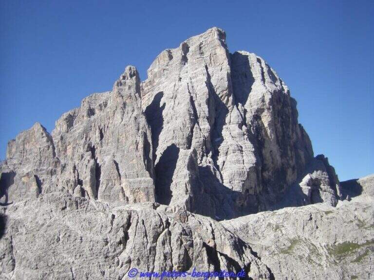
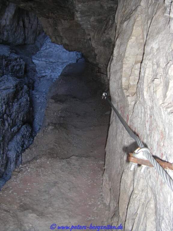
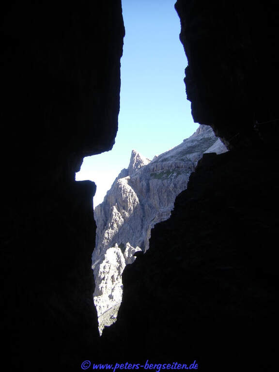
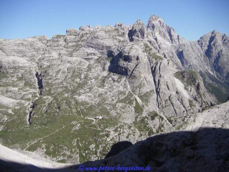
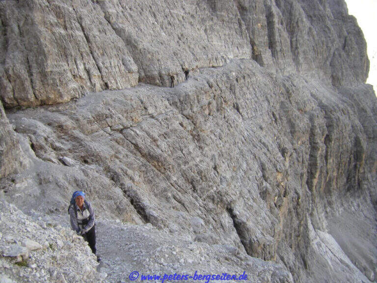
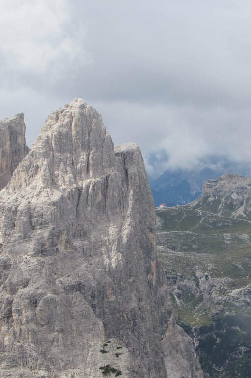
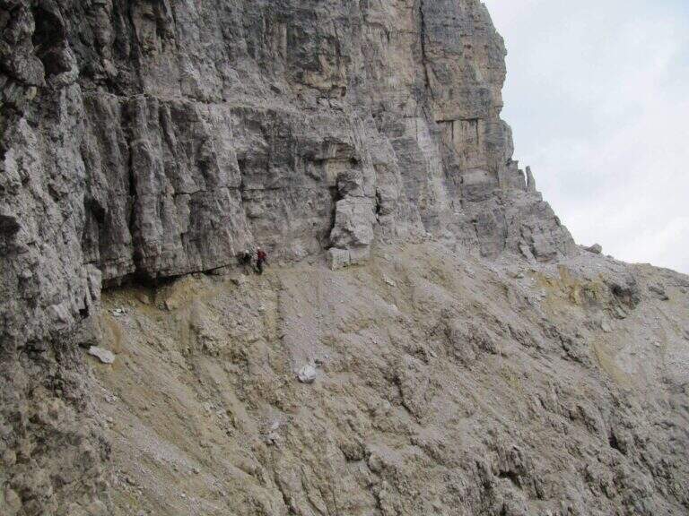
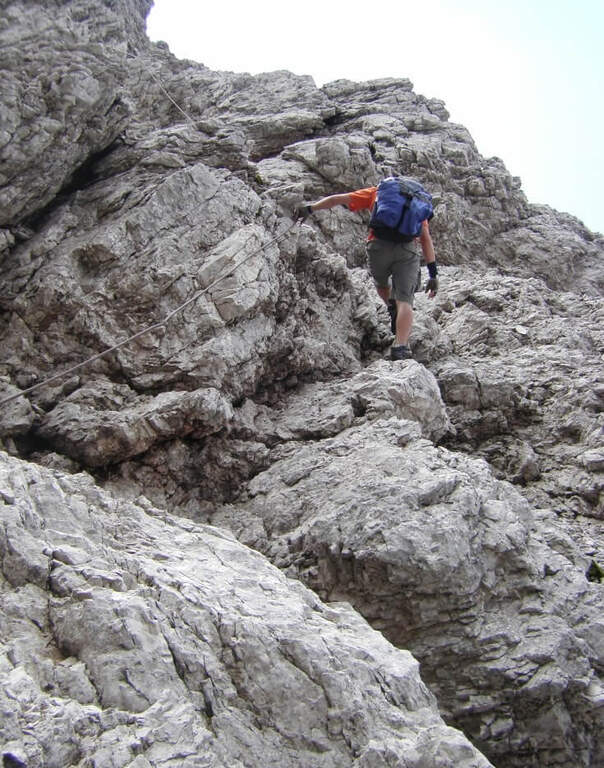
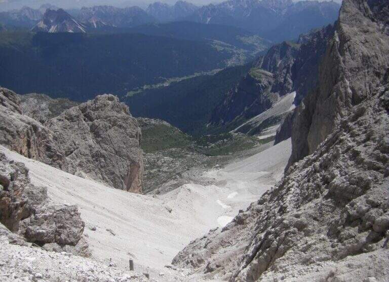
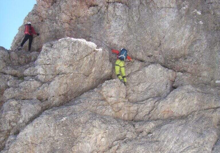
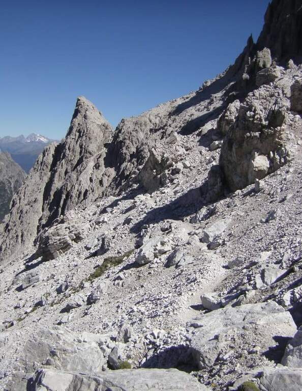
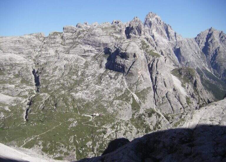
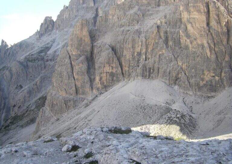
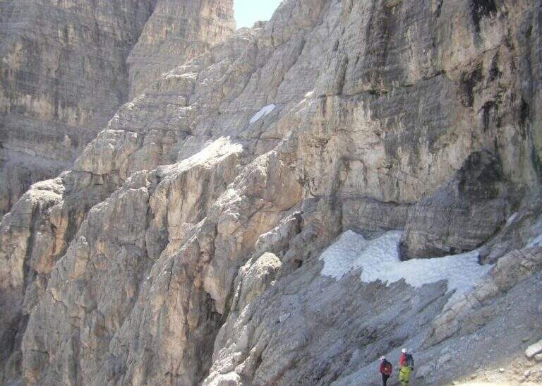
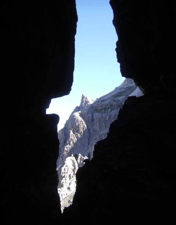
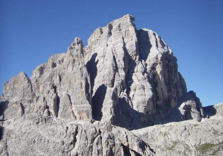
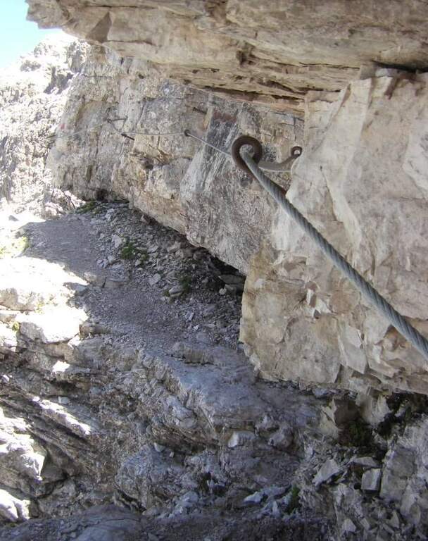
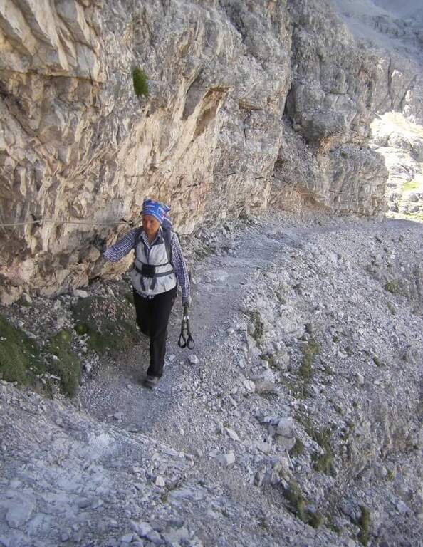
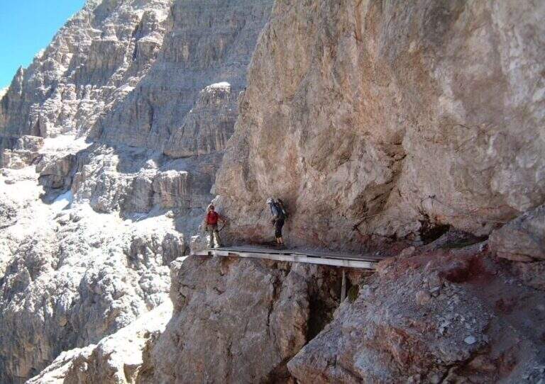
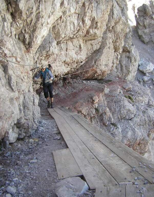
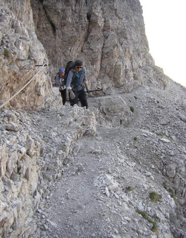
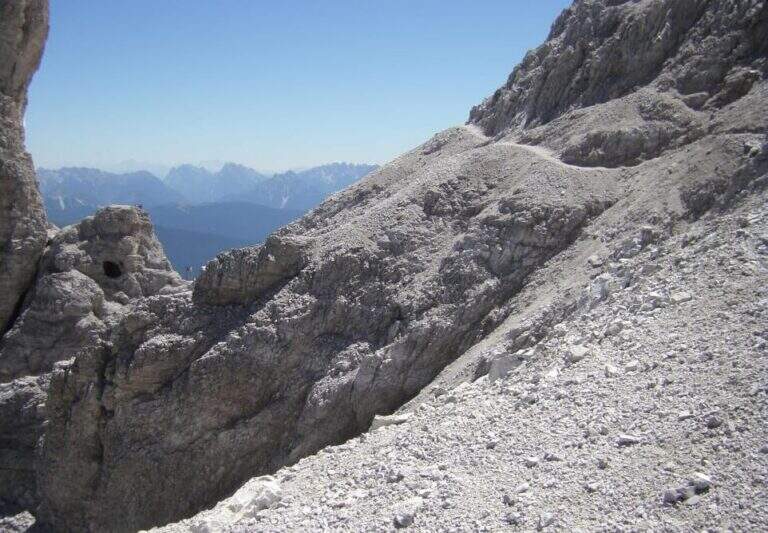
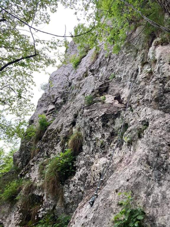
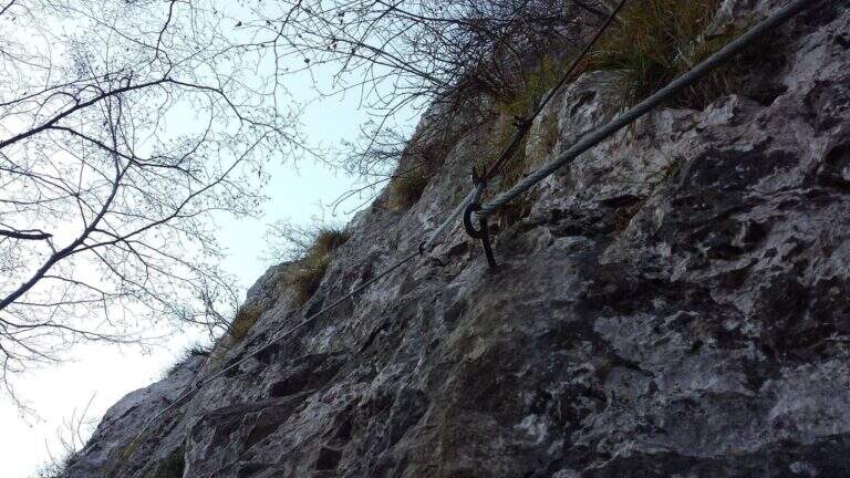
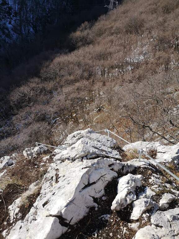
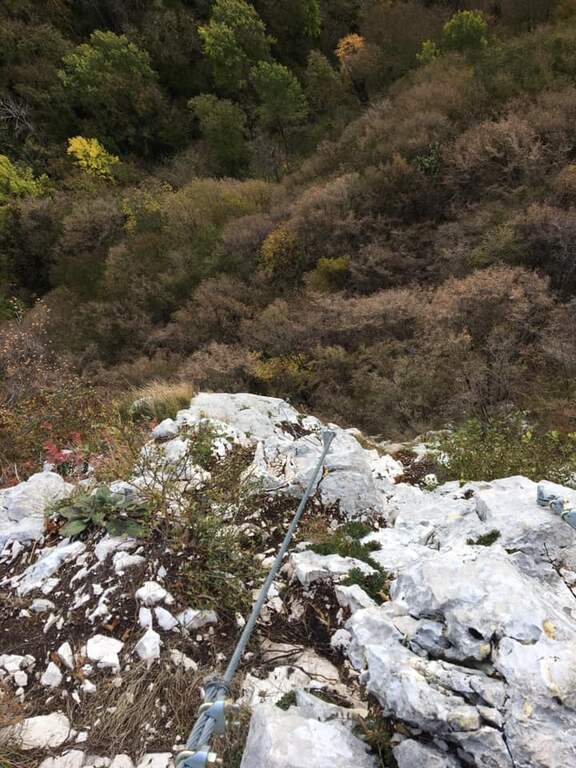
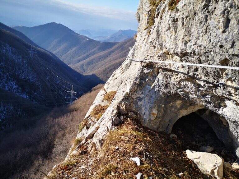
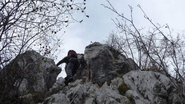
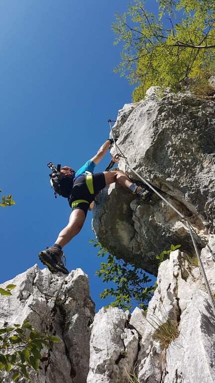
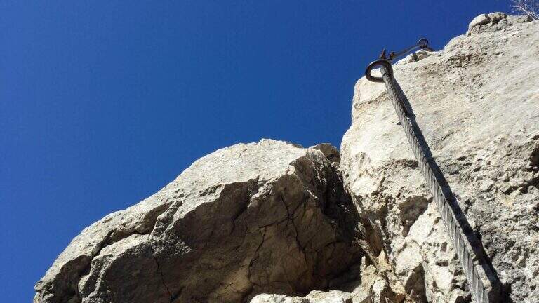
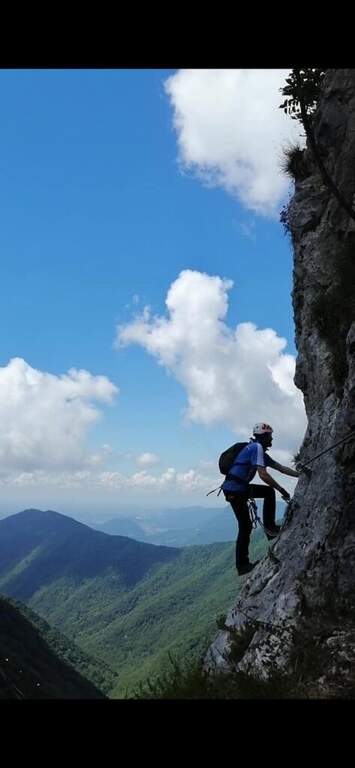
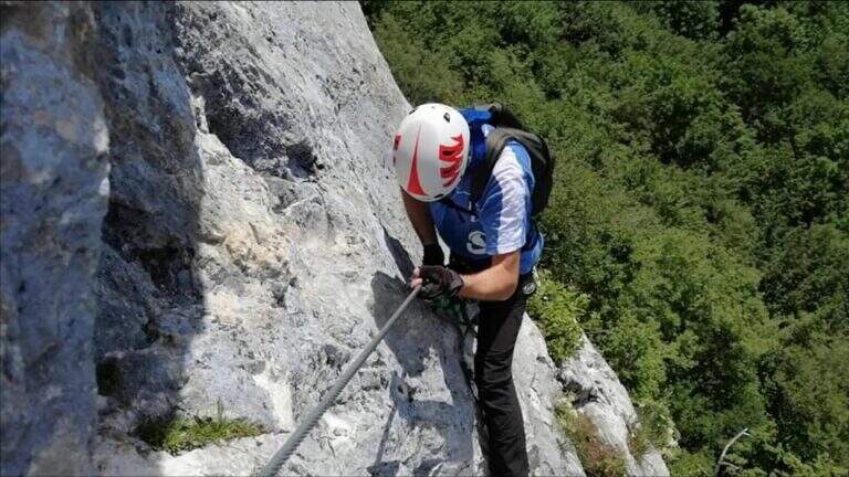
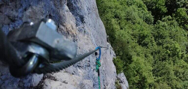
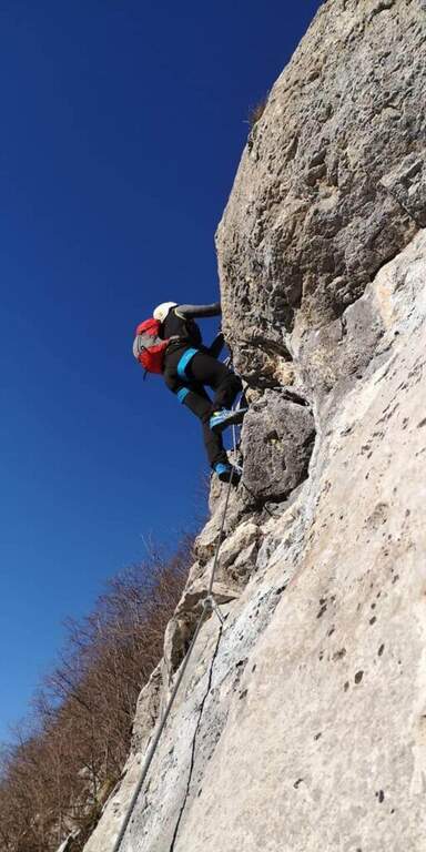
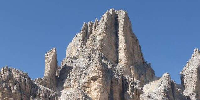
    La Ferrata Cesco Tomaselli climbs the west wall of the Punta di Fanes Sud: a vertical, demanding way, with exposed and technically difficult passages. It is short but very intense, with a series of athletic passages that require experience and strength; from the summit the panorama spans the Tofane and the Dolomites of Badia.

    ▲Approach

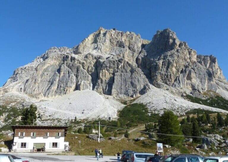
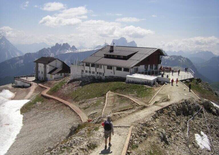
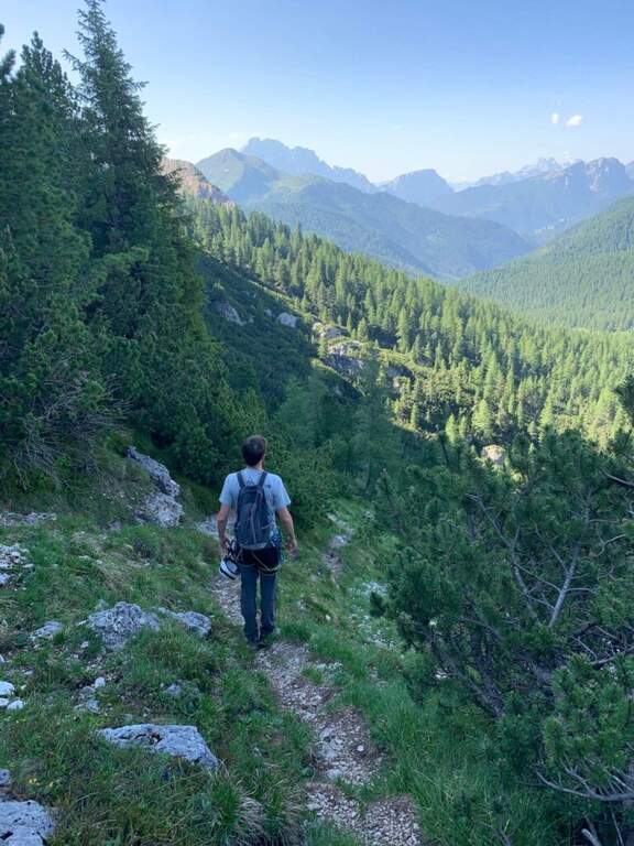
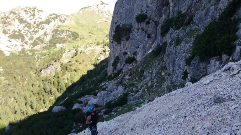
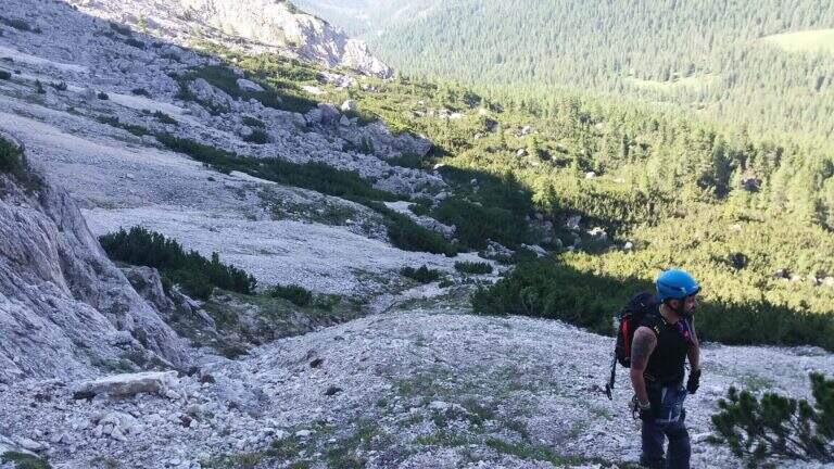
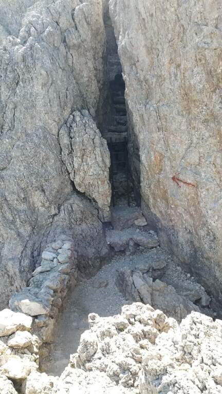
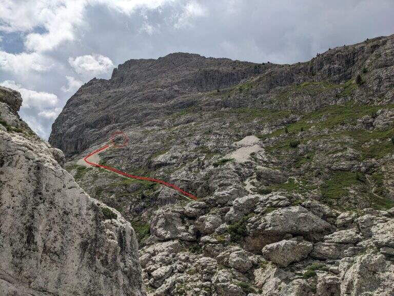
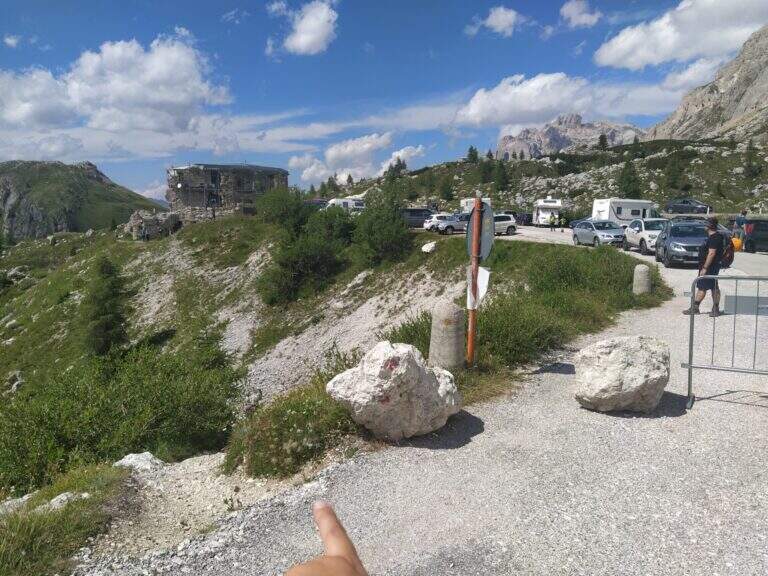
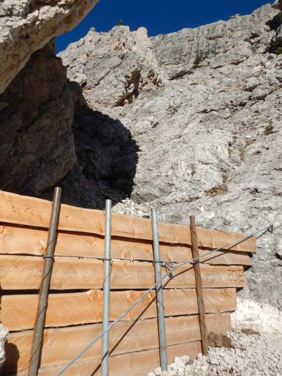
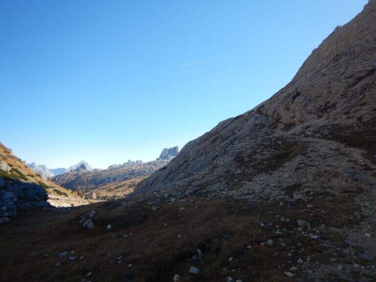
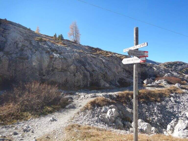
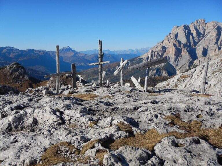
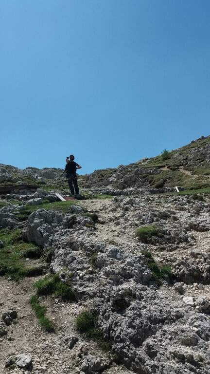
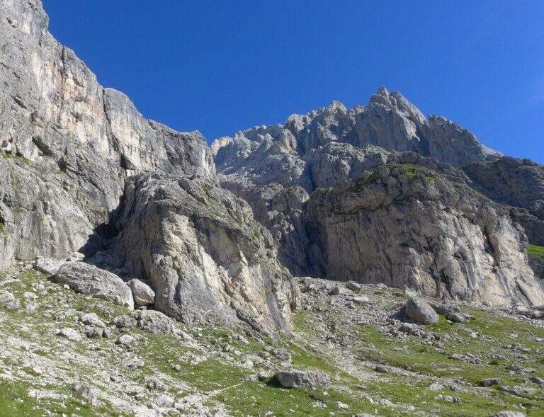
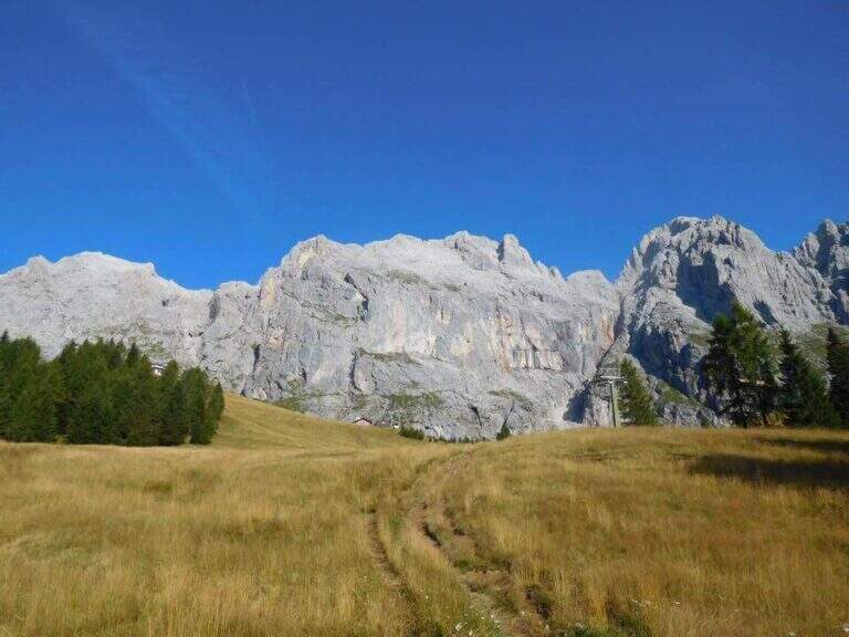
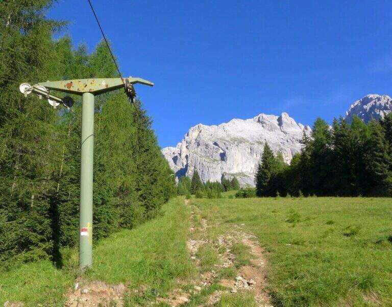
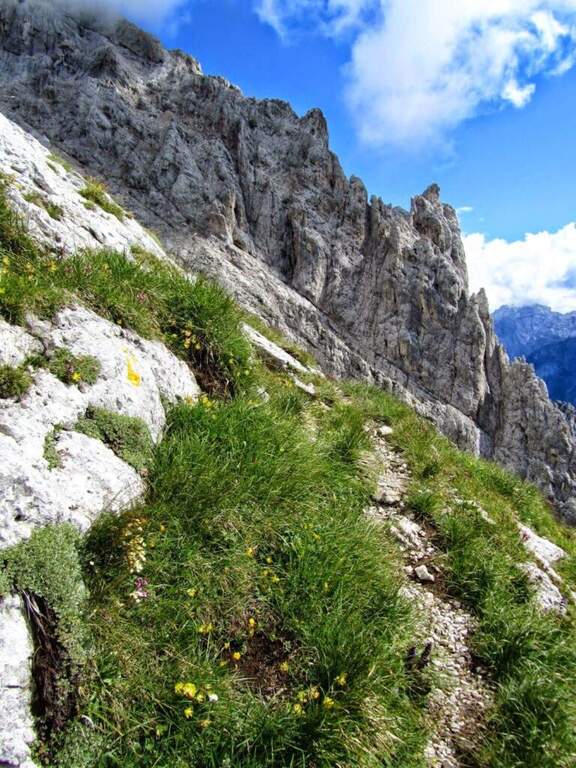
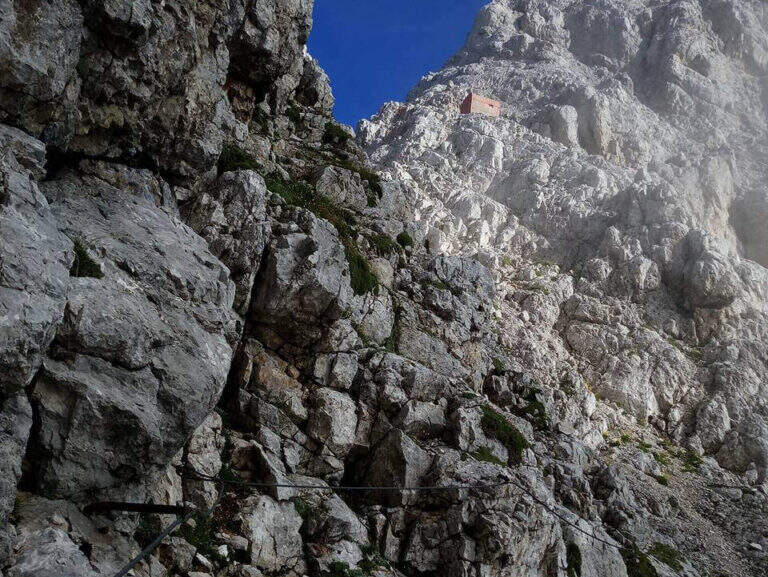
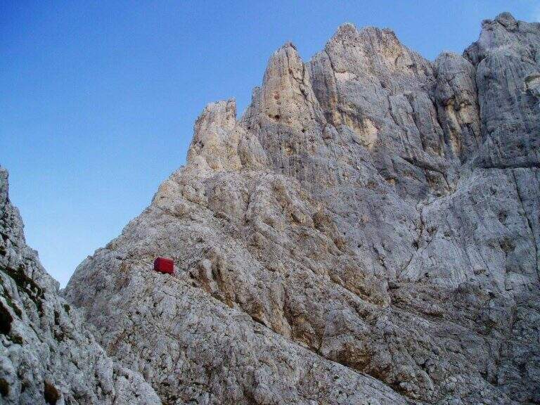
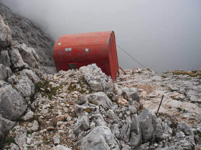
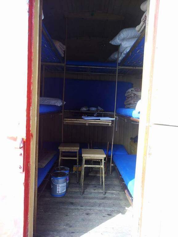
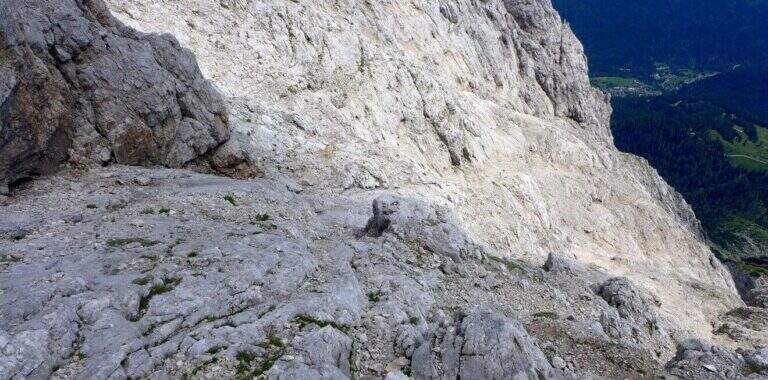
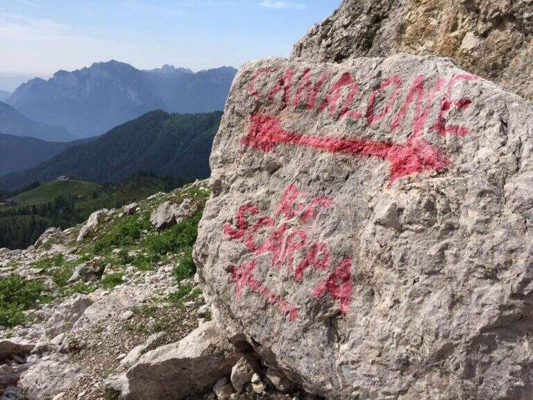
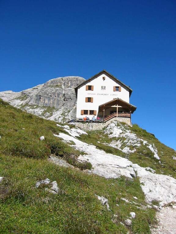
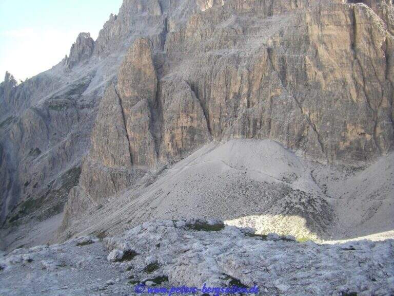
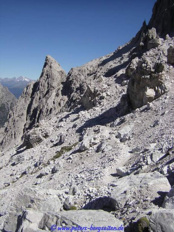
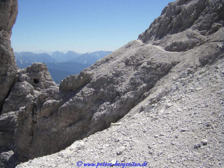
    The più mode; quick & free; climb to the Passo Falzarego (2105 m) and take the cable car to the Lagazuoi Refuge. Open road signs on Google Maps. From the mountain station (2752 m) descend north with trail 401 towards the Forcella Lagazuoi (2573 m, 15'); the left on the trail 20 in falsepiano, then to the right the 20B halfway on the west wall of the Great Lagazuoi to the site of the 'ex Bivacco della Chiesa (2655 m, 1h from the refuge), now dismantled. From here, già visible l' attack, a track north leads under the wall all' attack (1h 15' totali).

    ▲The path

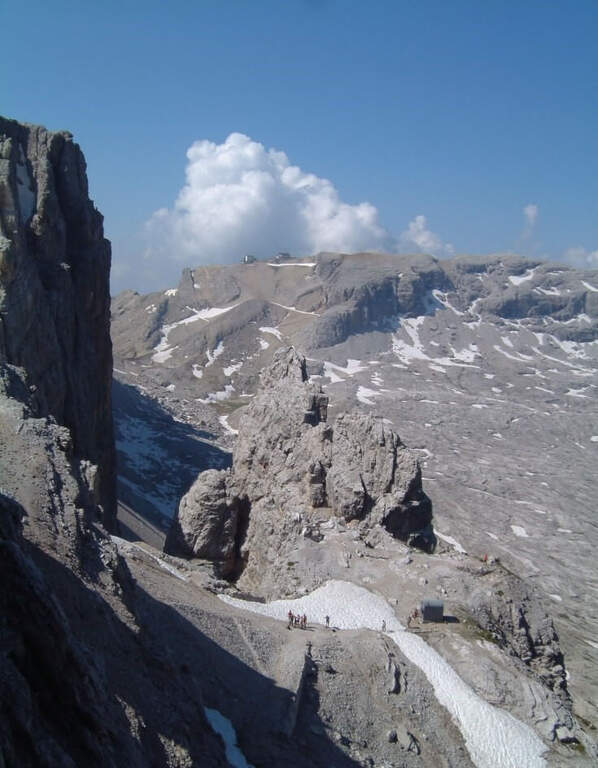
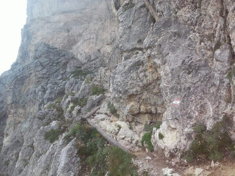
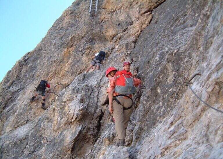
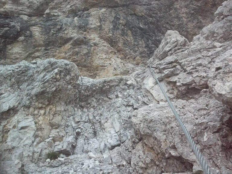
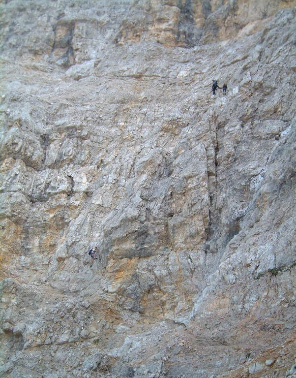
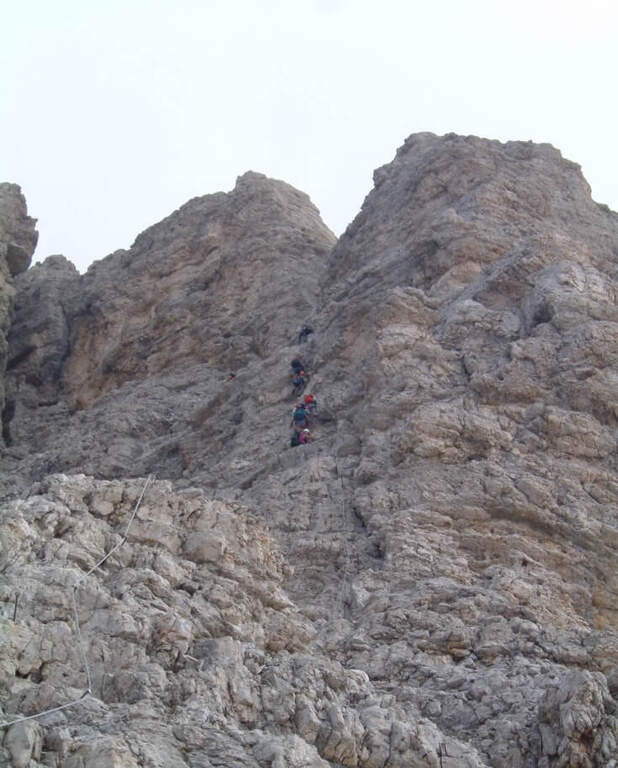
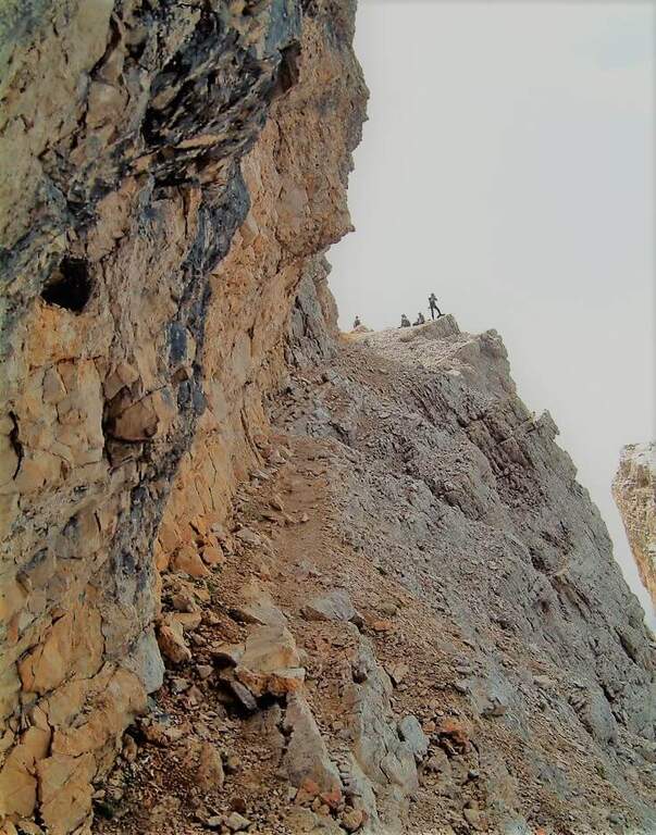
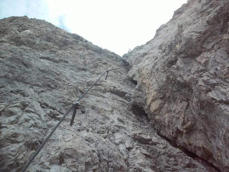
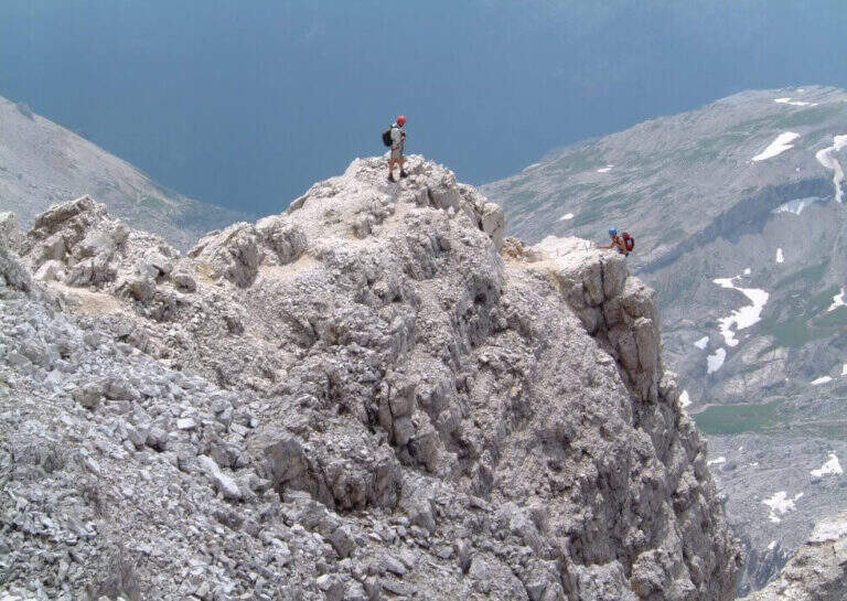
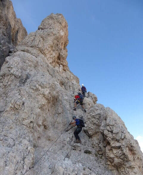
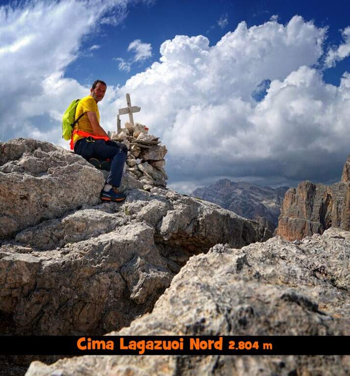
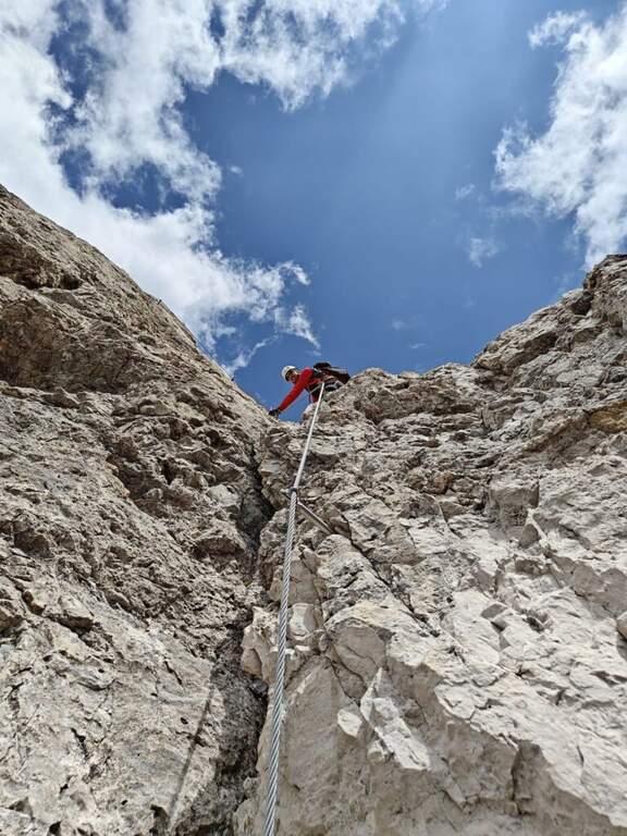
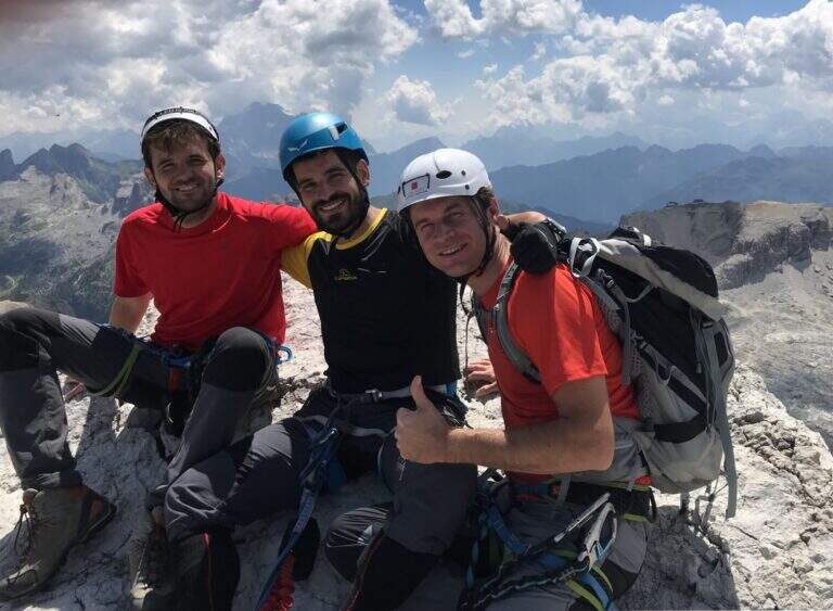
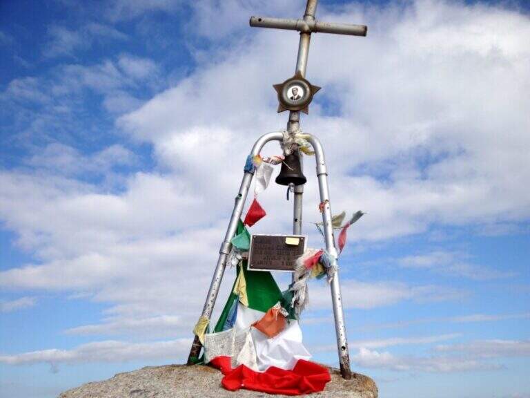
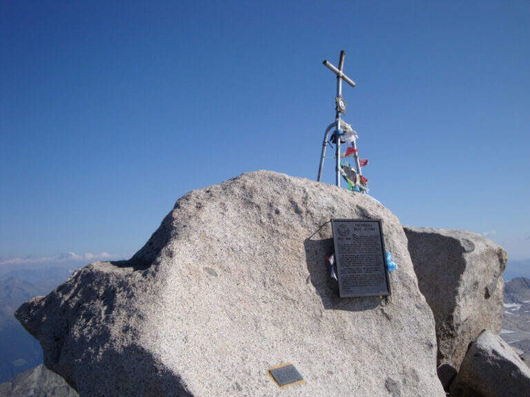
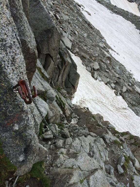
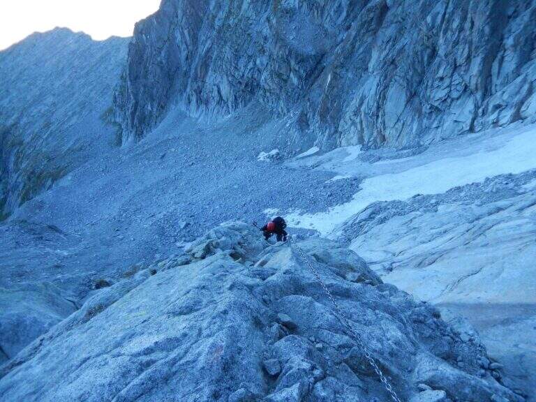
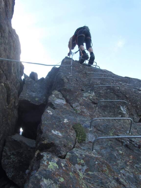
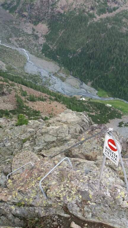
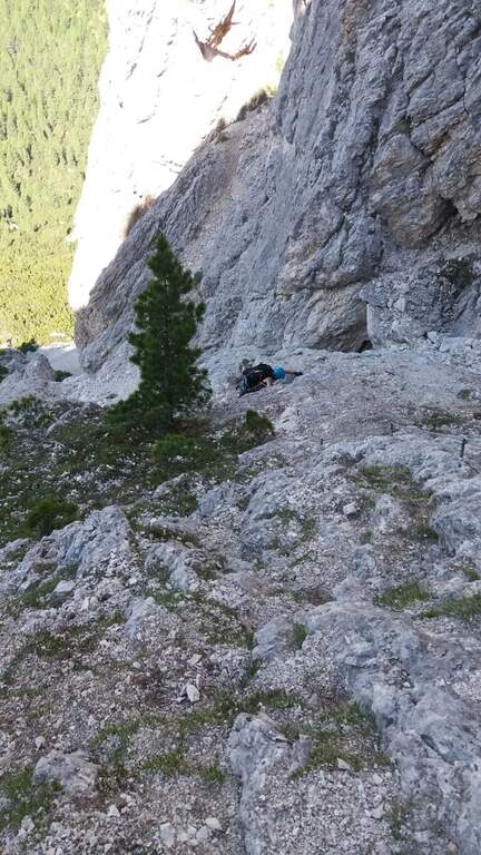
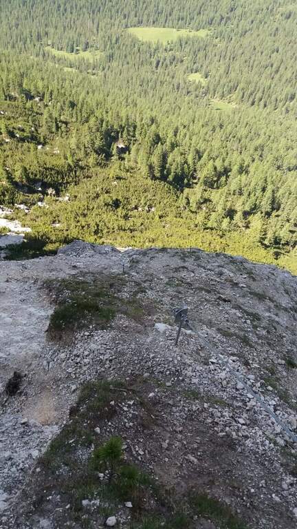
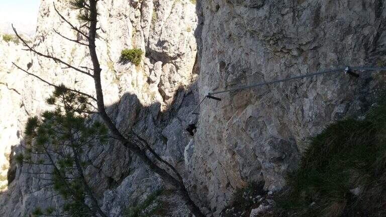
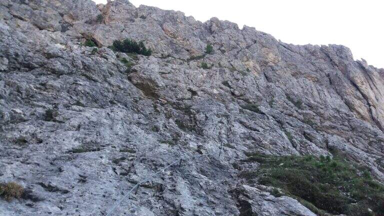
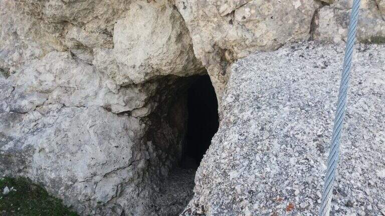
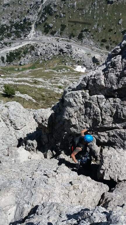
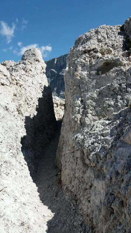
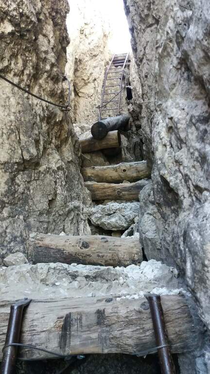
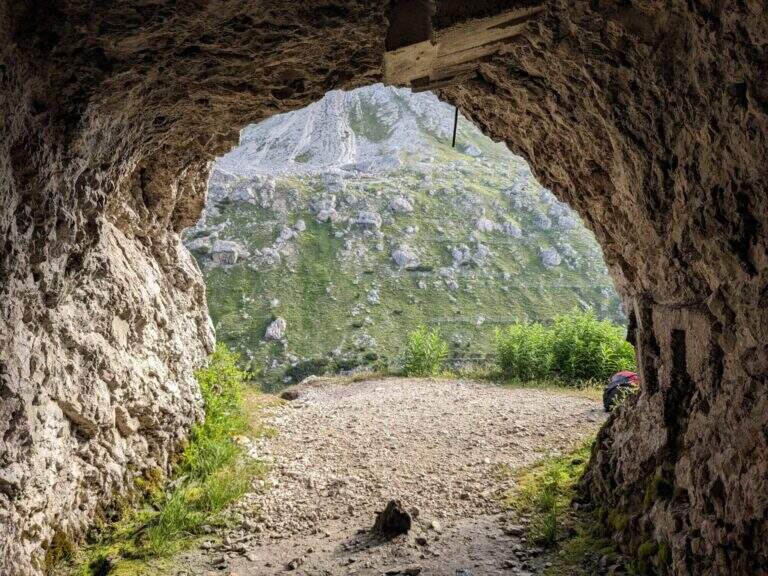
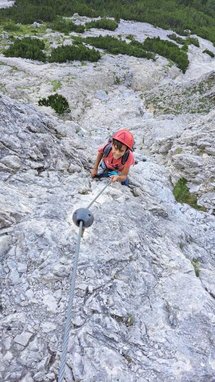
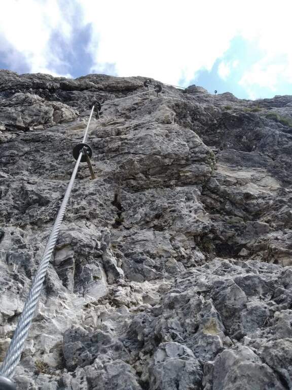
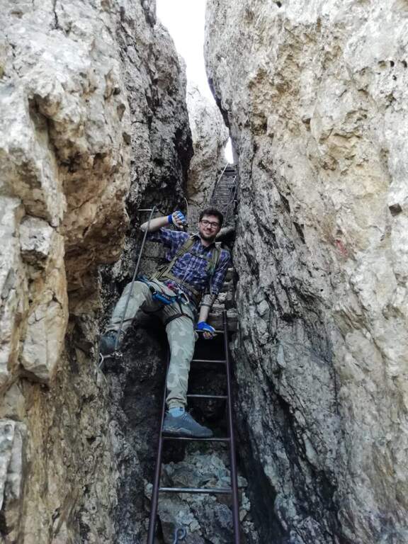
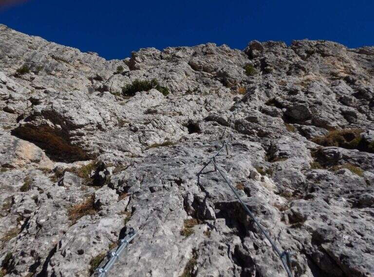
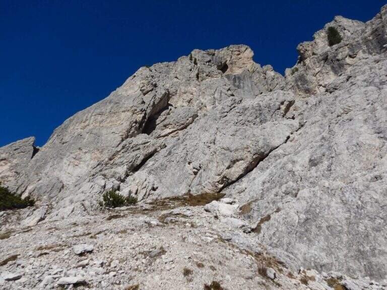
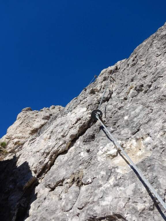
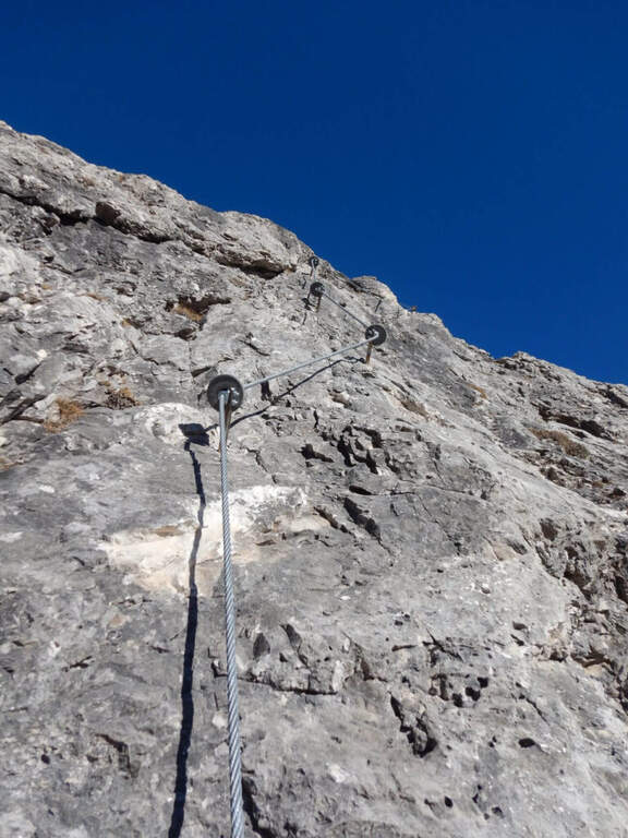
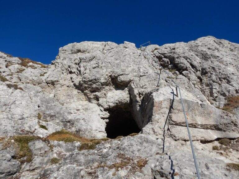
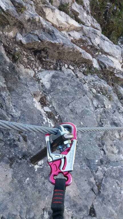
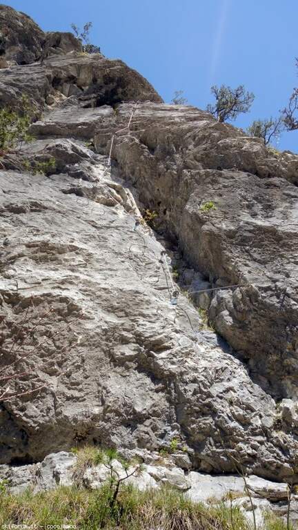
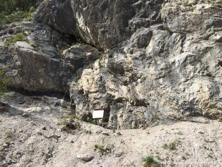
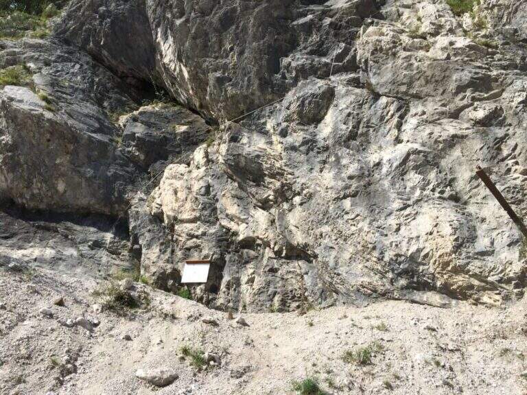
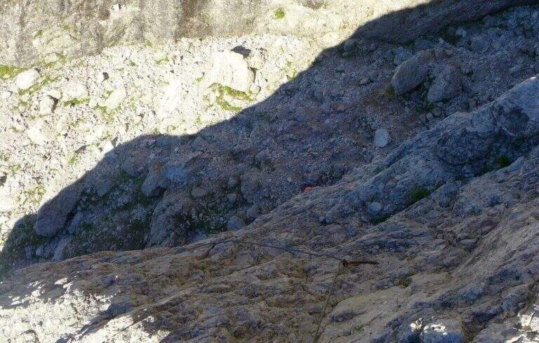
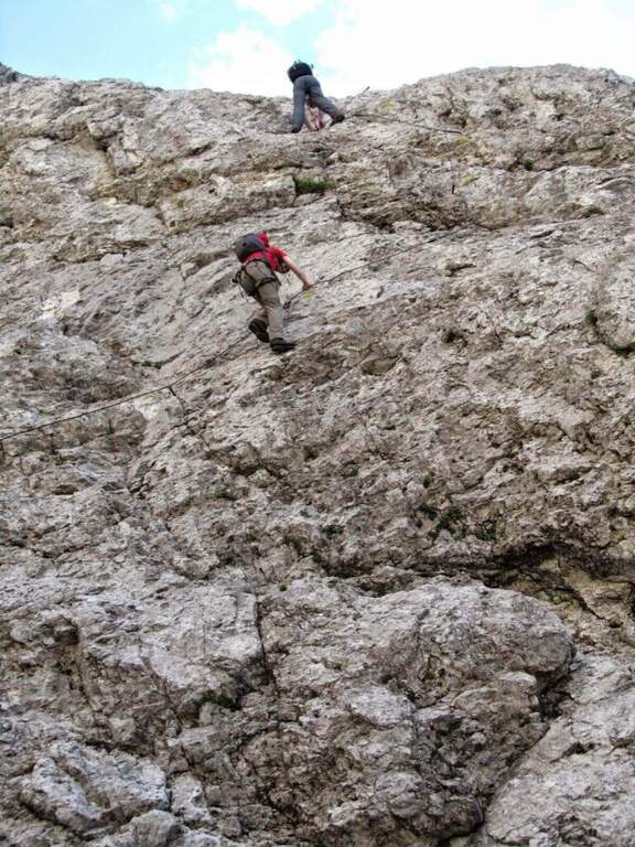
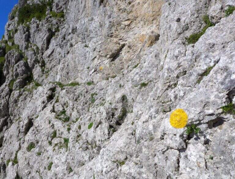
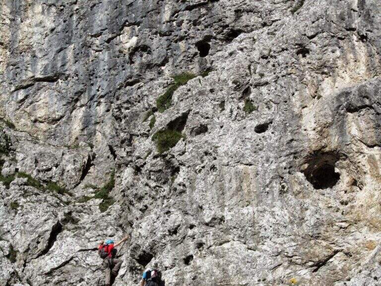
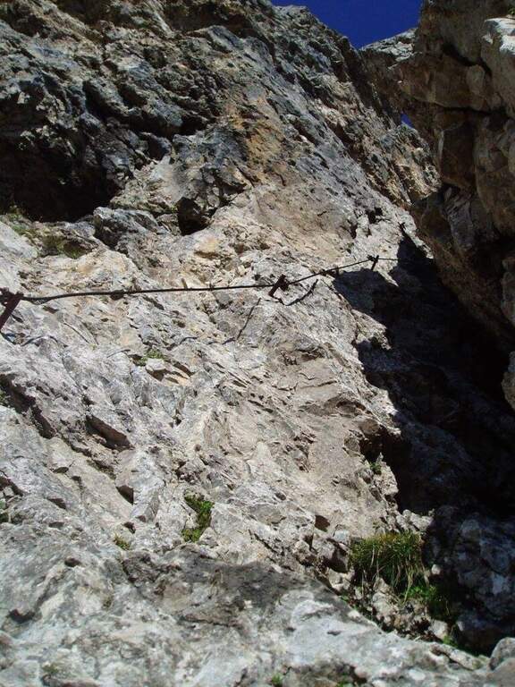
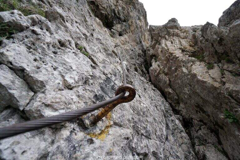
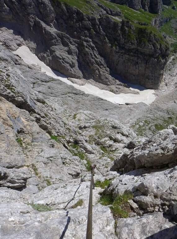
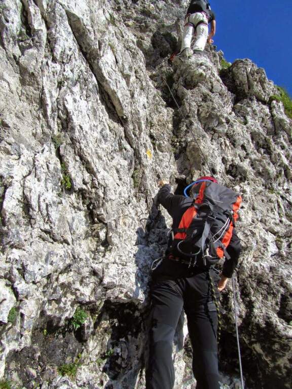
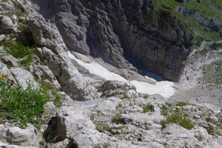
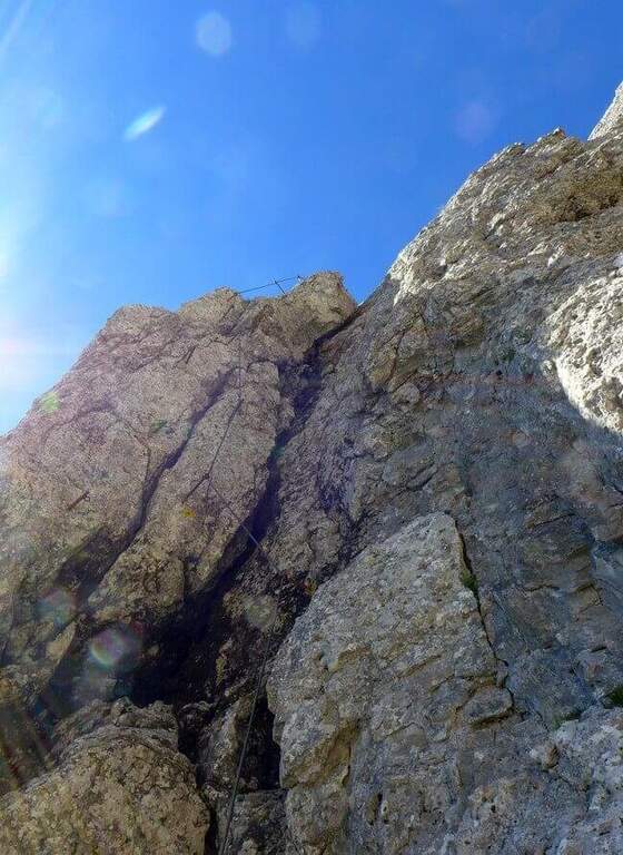
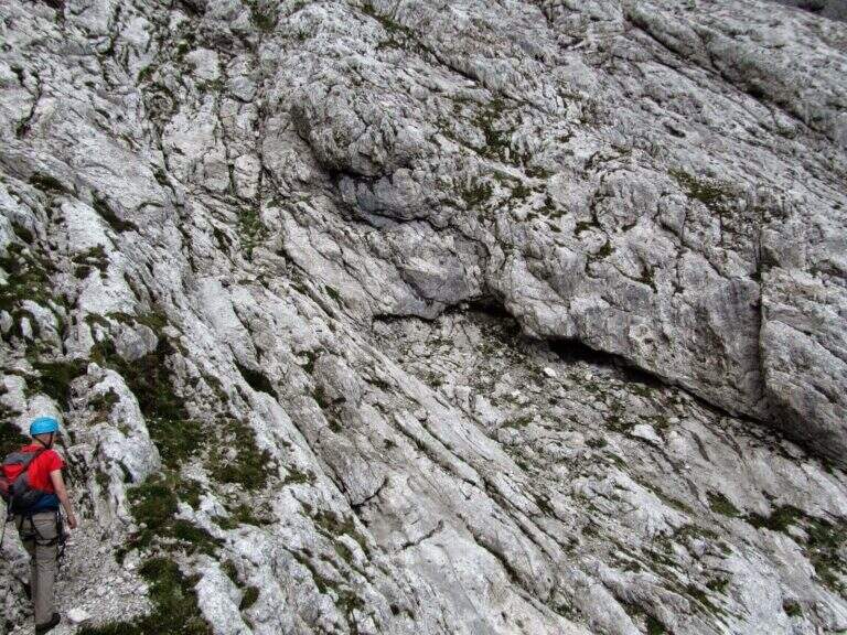
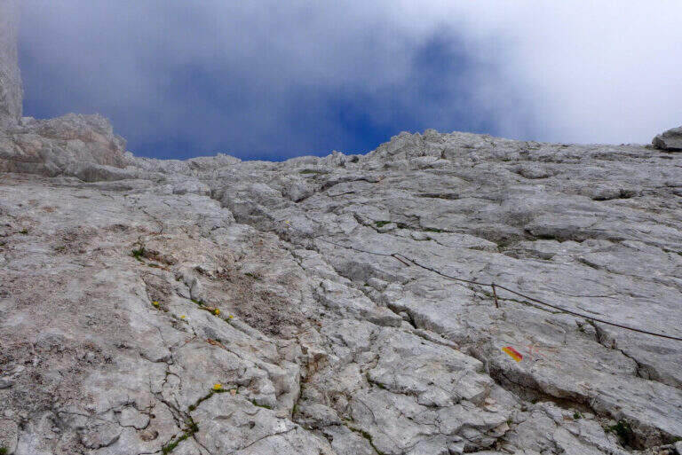
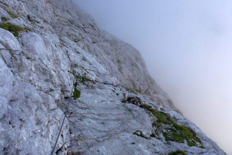
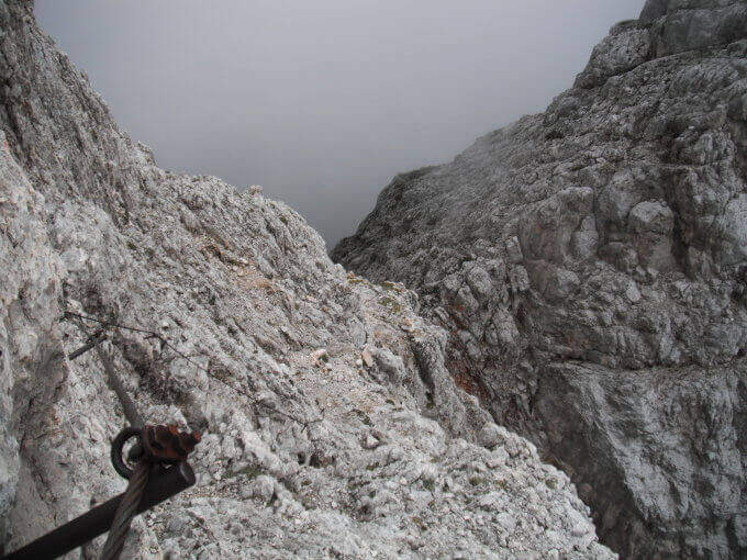
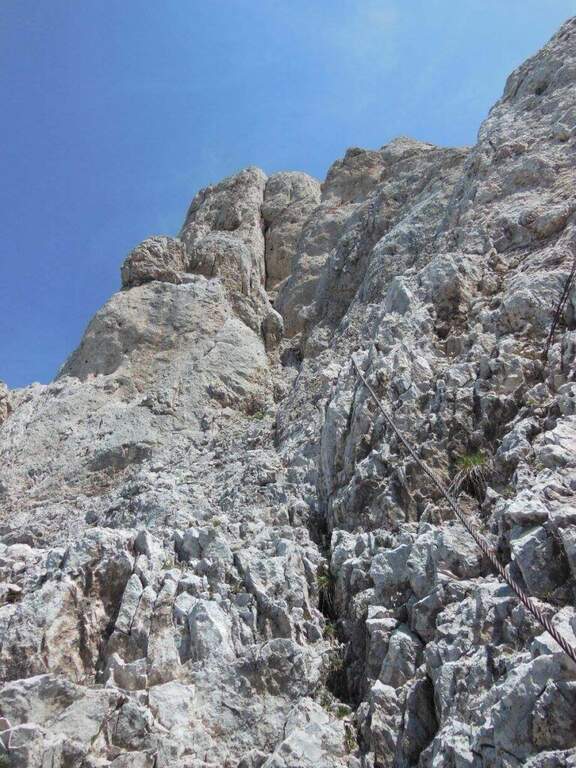
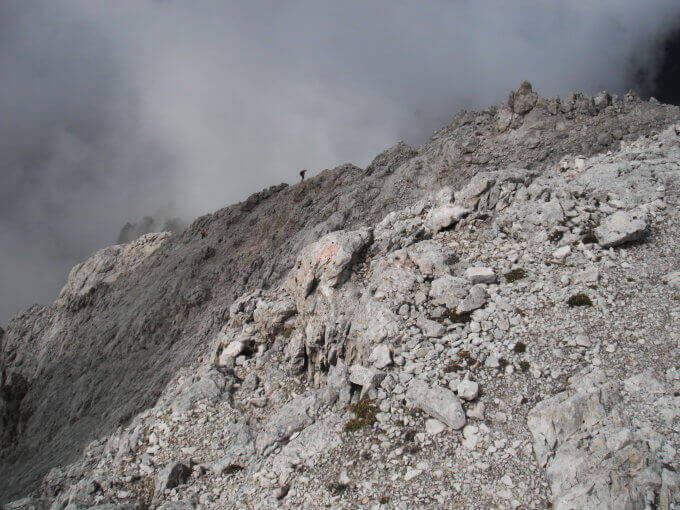
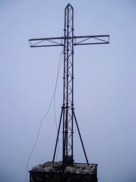
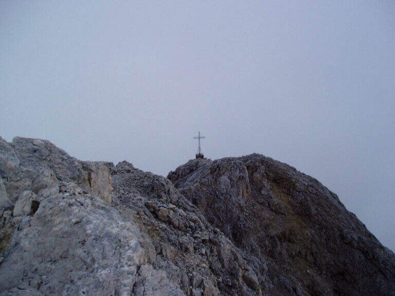
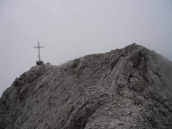
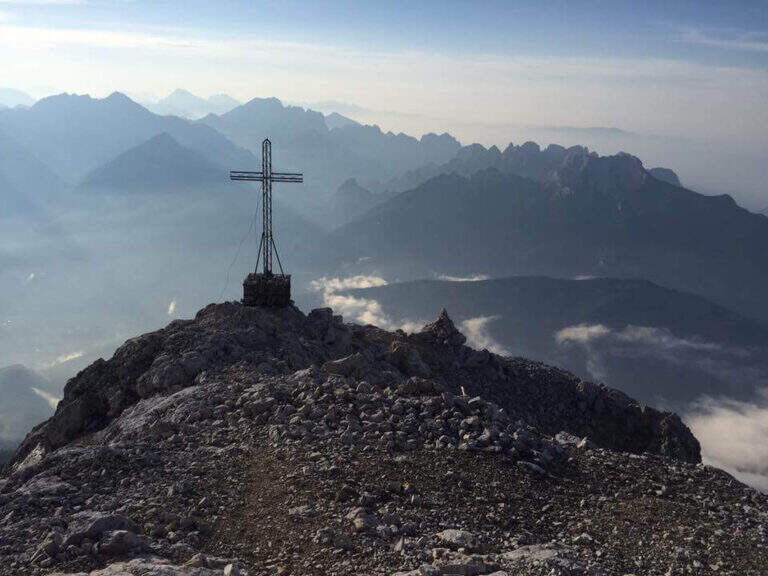
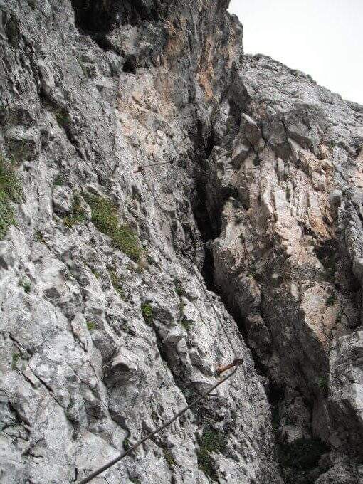
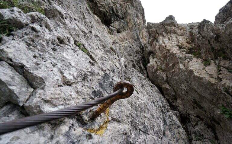
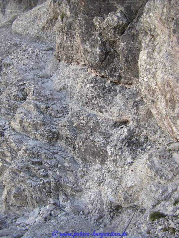
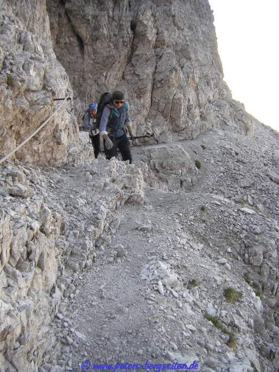
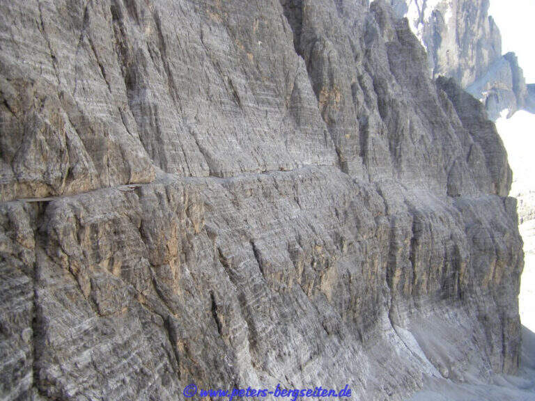
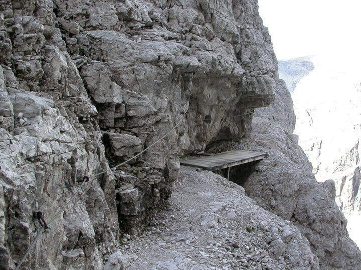
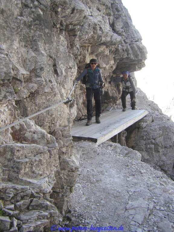
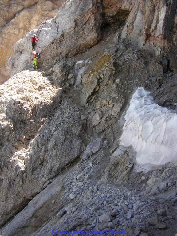
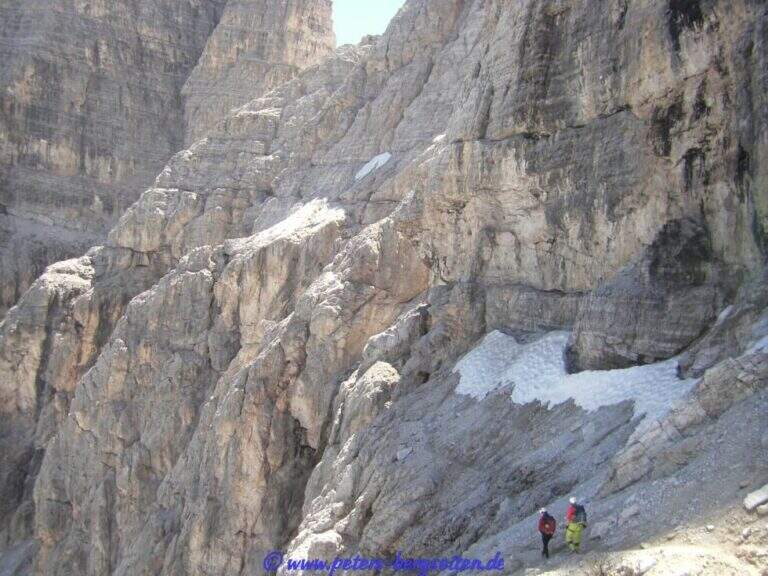
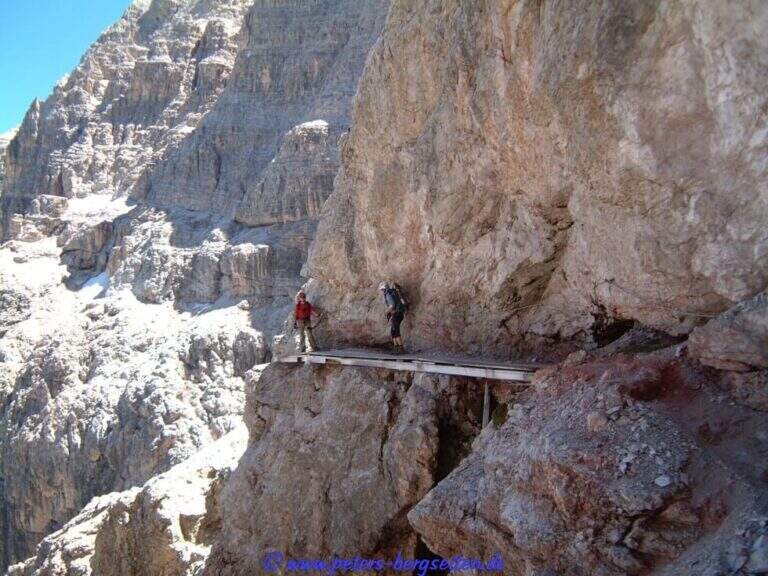
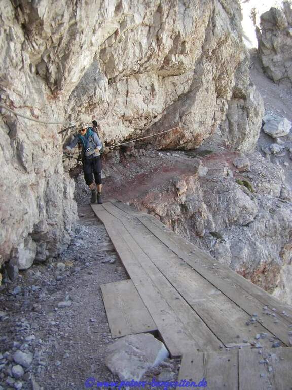
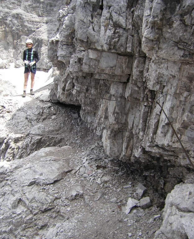
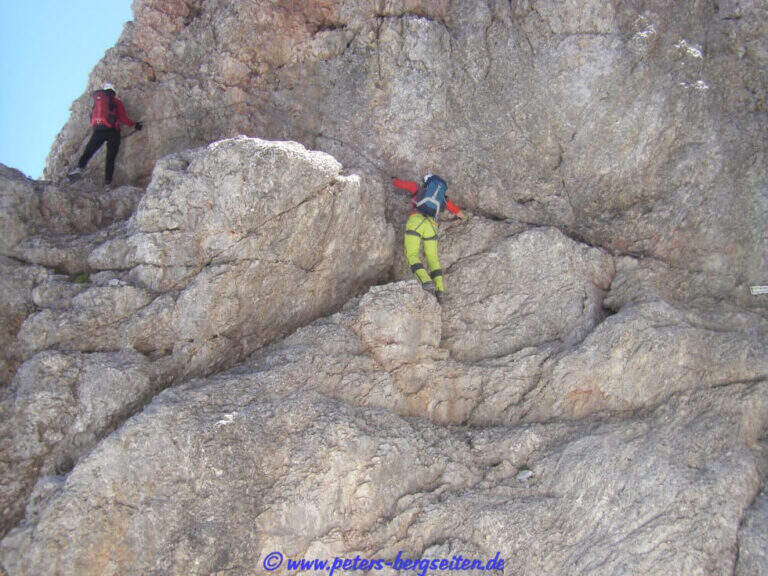
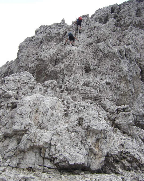
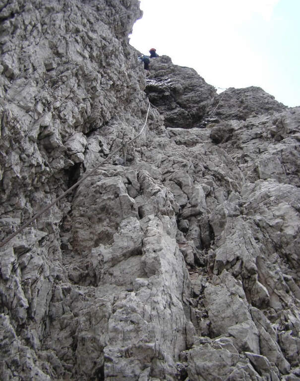
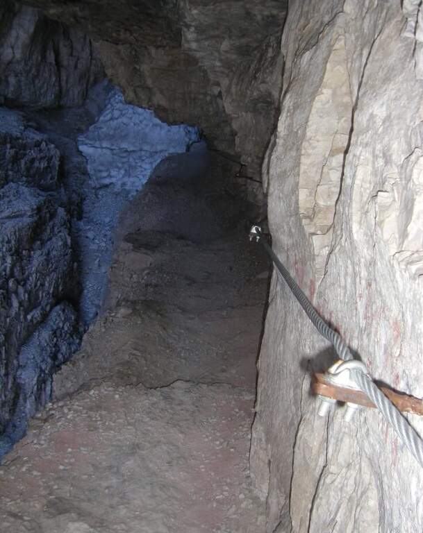
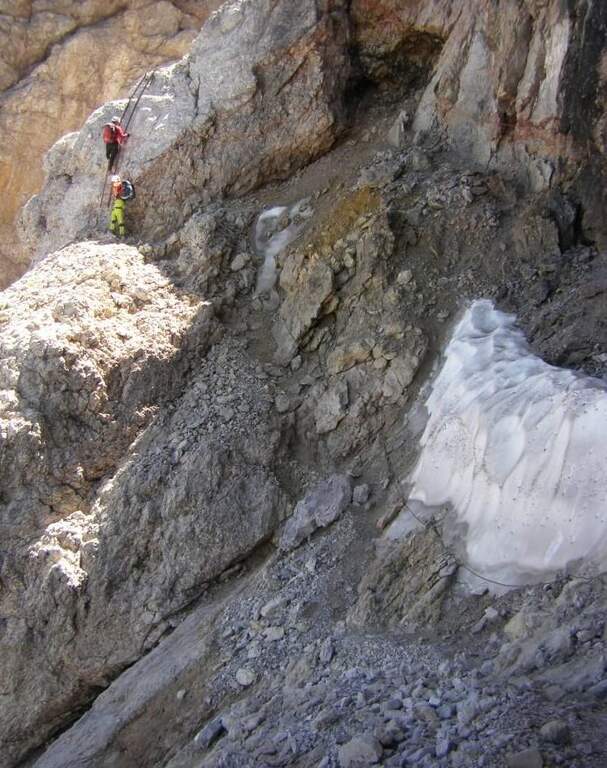
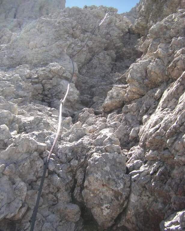
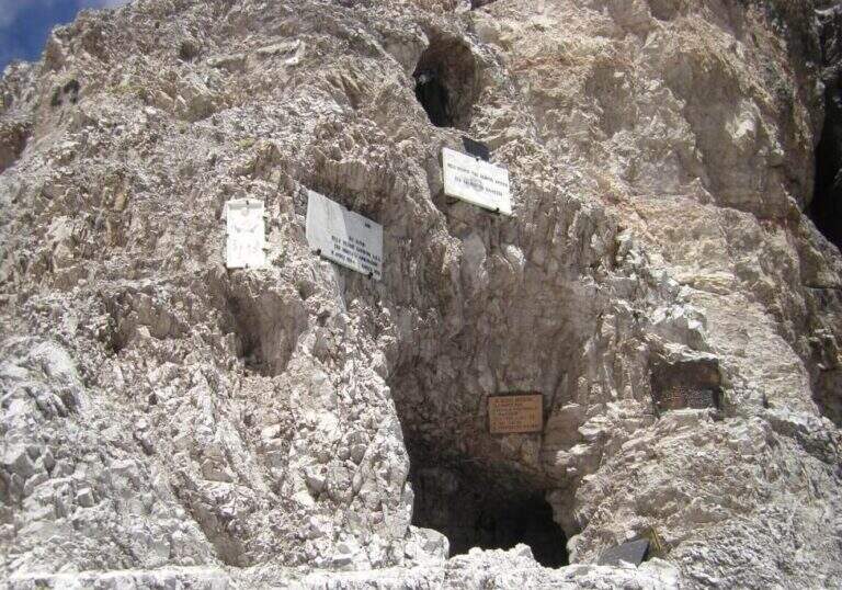
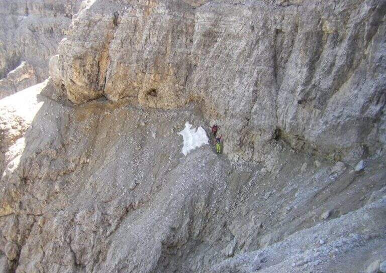
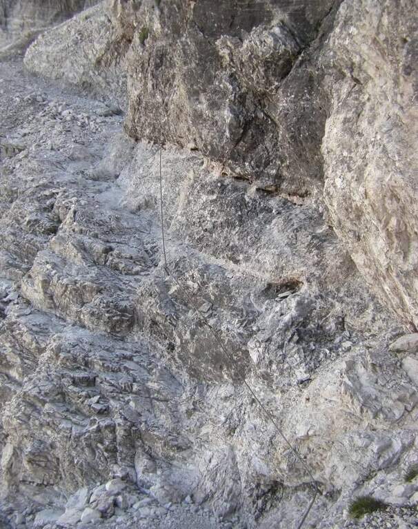
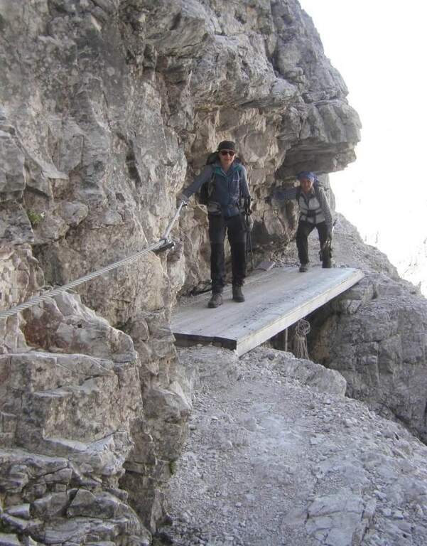
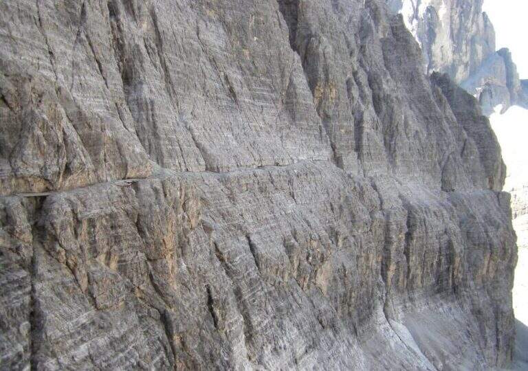
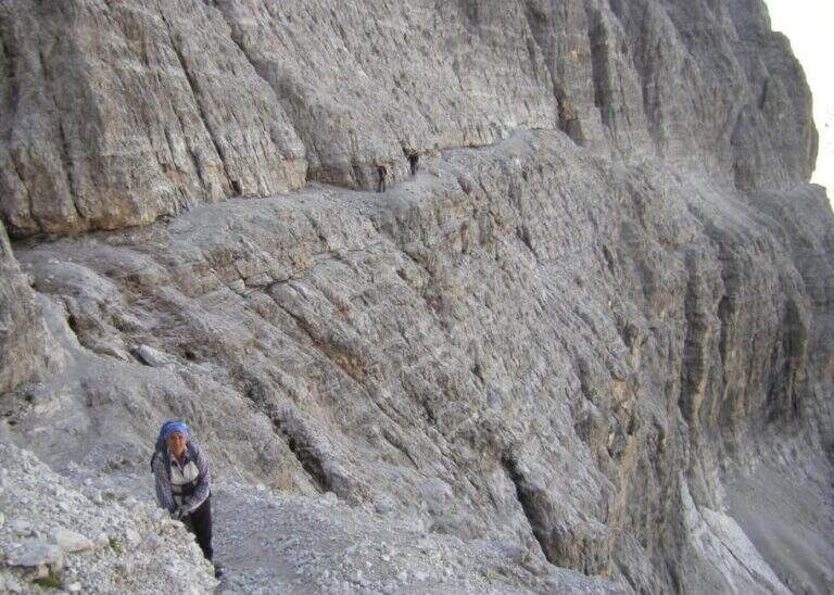
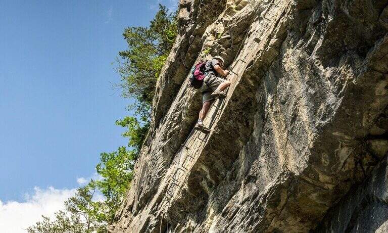
    Il key passage is immediately to attack: after the first easy meters you face a traverse that climbs diagonally on a polished wall, then obliges you to descend 2-3 meters very exposed, a horizontal traverse on smooth rock and a 4-5 meters lift; selective and poor stretches of hooks, to walk decided not to fatigue your arms. On a terrace there is a breath and a vertical and exposed wall of about twenty meters, più perched on the top, up to a detritic terrace. A section of exposed and unprotected path and a nod with ups and downs lead to ' start of the second section equipped: horizontal nod, stepped rocks, un' another nod exposed to the right, you get around a corner and you reach the terza section (attention not to follow the left the Ferrata at Cengia Veronesi). There is an entangled plaque, then vertical passages sometimes assisted by pioli, up to the characteristic long dihedron equipped along a deep crack: the first vertical and poor feet of hooks are passed tractioning on the cable, then the rope crosses the dihedron (uses a comfortable right bracket) and continues air to a pulpit in fork. Two very exposed plates, first vertical then diagonal, and a short ridge lead to the summit at Cima Fanes Sud (2960 m, 1h 45' from the attack, 3h from Lagazuoi), with 360° view.

    ▲Character and difficulty

    Vertical and exposed, athletic, with thick rock: the initial traverse and the long dihedron are the most selective traits. Level difference in ferrata 326 m, maximum altitude 2980 m, development 7.5 km.

    ⚠ Also the discesa è a challenging ferrata, with vertical balconies, a slightly overhanging traverse and the descent of a fireplace: it should be faced carefully. Reserved for experienced and trained drivers.
    ▲Discipline

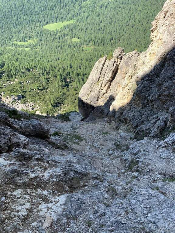
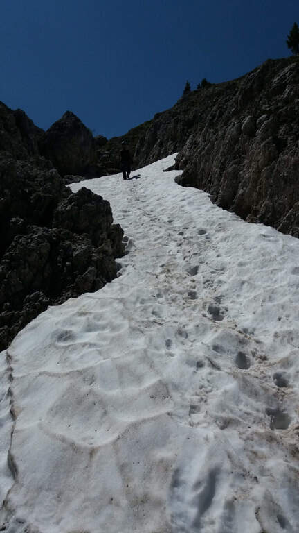
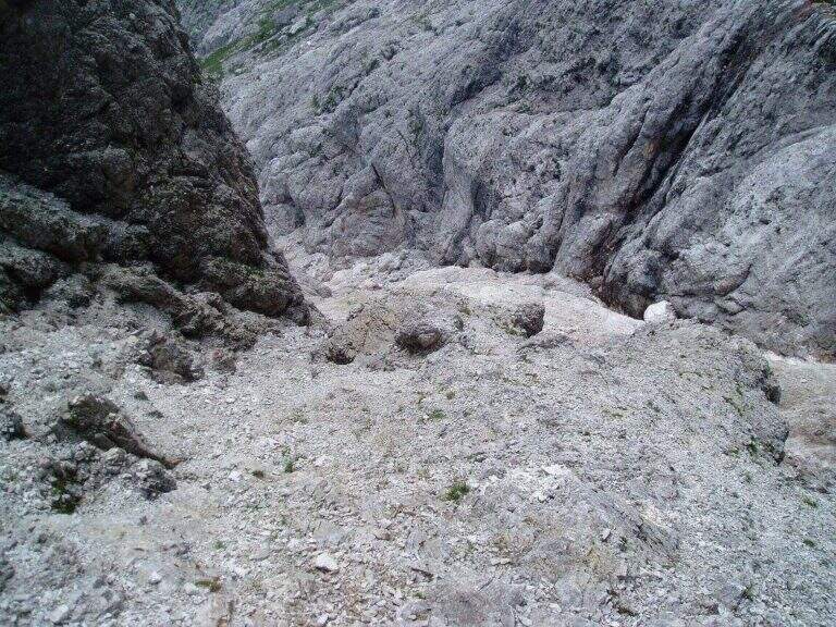
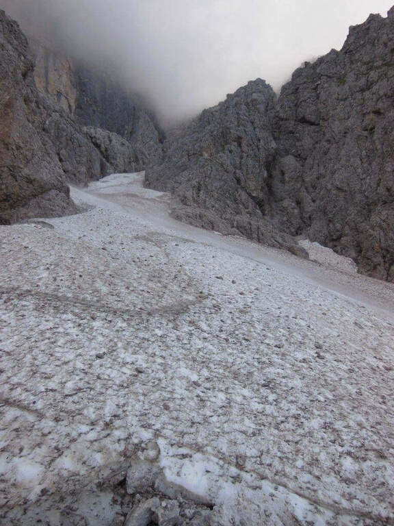
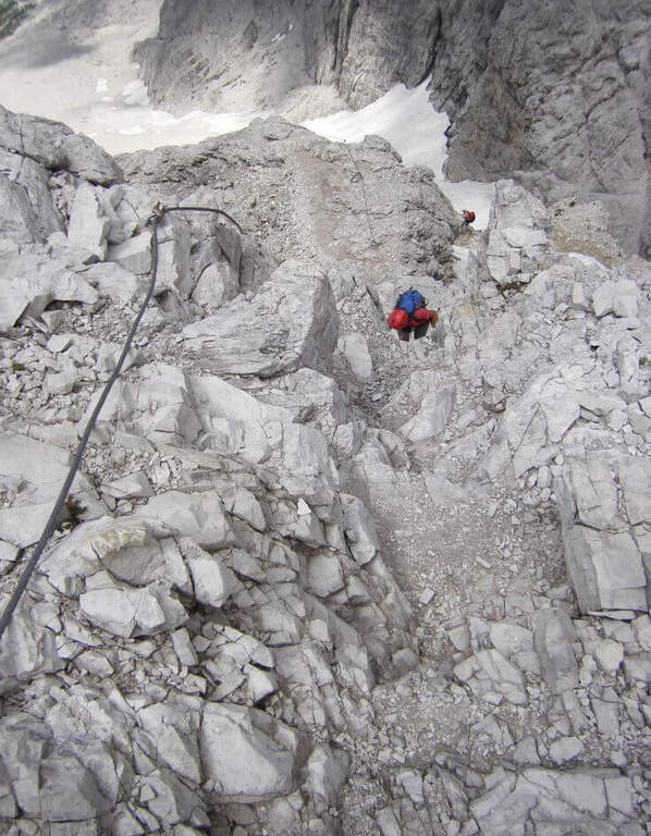
    Dalla vetta si prosegue a nord-est e si scende per una via ferrata di discesa impegnativa: balzi verticali da studiare, un traverso con breve passaggio strapiombante e la discesa di un camino (staffa provvidenziale a metà), poi una cengia e gli ultimi metri verticali fino al canalone che porta al Bivacco della Chiesa (45' dalla vetta, 3h 45' totali). Da qui, per la funivia, si torna a ritroso al Rifugio Lagazuoi (45', 4h 30' totali); in alternativa si tiene la sinistra del crinale verso la Forcella Travenanzes e si scende al Passo Falzarego tra i resti della Grande Guerra (1h 15' dal termine della discesa attrezzata, circa 5h totali).

    ▲To match

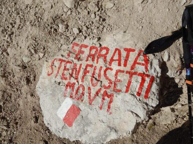
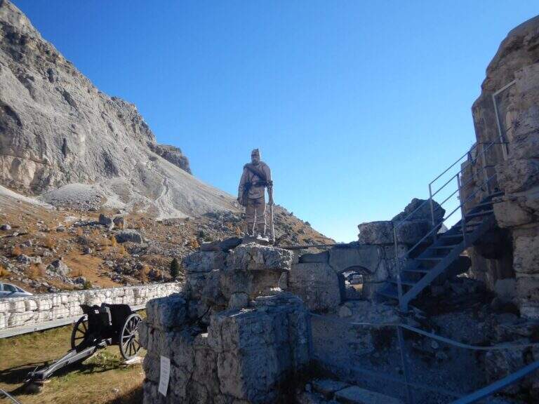
    From Falzarego and Lagazuoi: the Kaiserjager Trail, la Ferrata Fusetti at Sas de Stria, la Alpine Brigade at the Col dei Bos; towards Cortina la Ferrata dell'Averau and on the Tofana of Rozes la Ferrata Lipella.
    ▲Gallery
    Technical data
    • DifficultyVery difficult
    • RegionVeneto
    • GroupFanes
    • Approach1:15 h
    • Ferrata1:45 h
    • Itinerary (a/r)4:30 h
    • Hardware level difference326 m
    • Route difference326 m
    • Max2980 m
    • Length7,5 Km
  • Ferrata Terzulli all’Adamello

    Ferrata Terzulli at Adamello

    Vie Ferrate › Lombardy › Brescia
    Ferrata Terzulli at Adamello

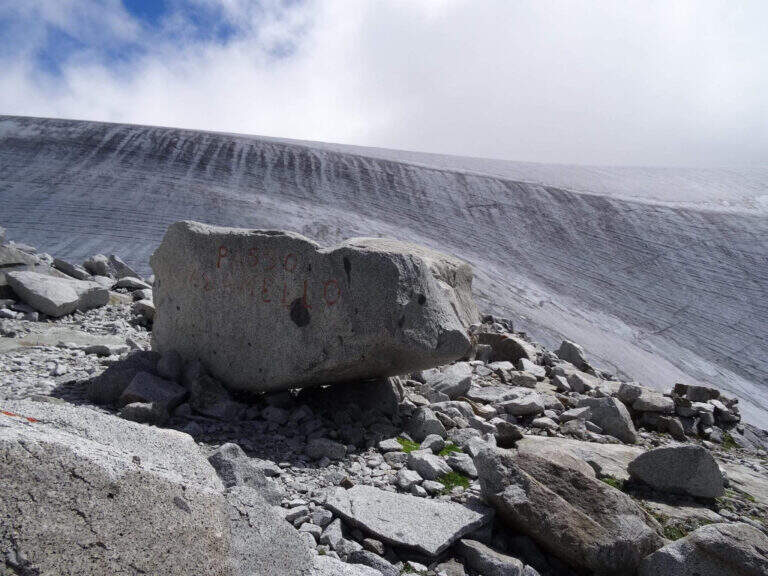
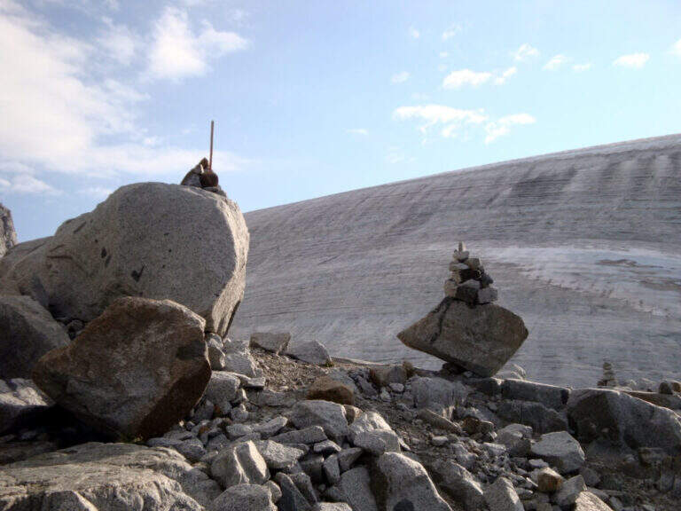
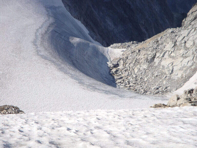
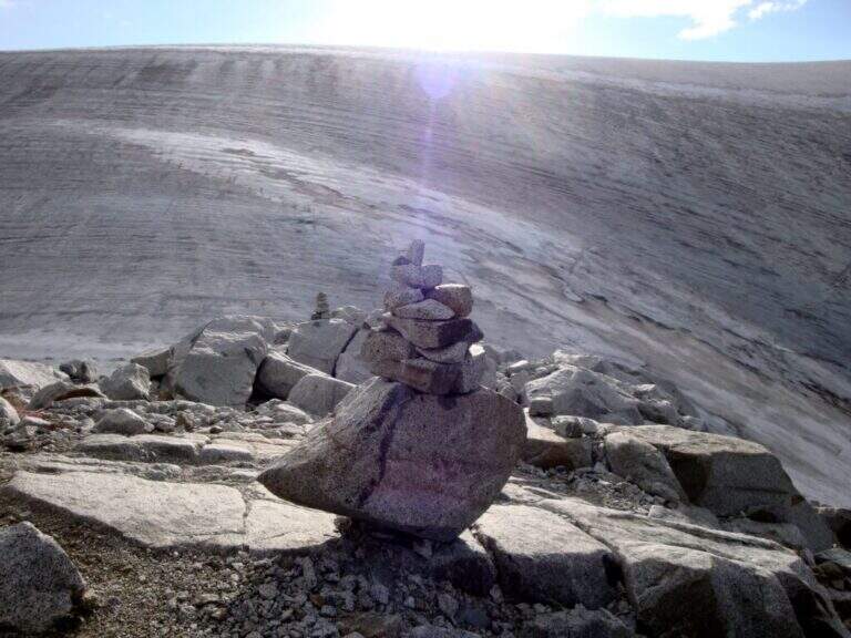
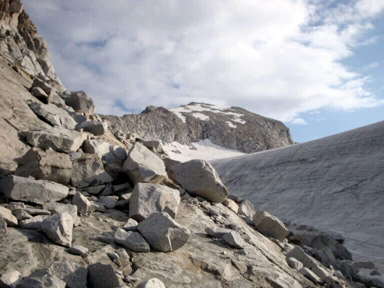
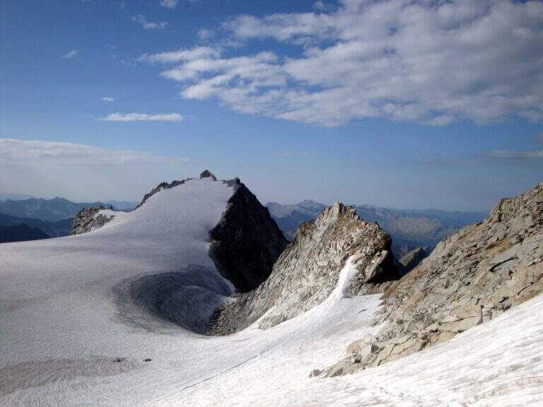
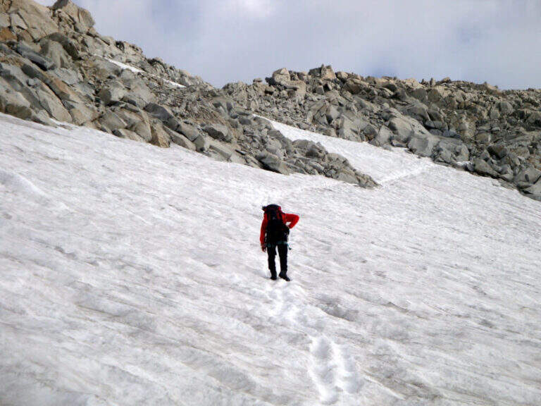
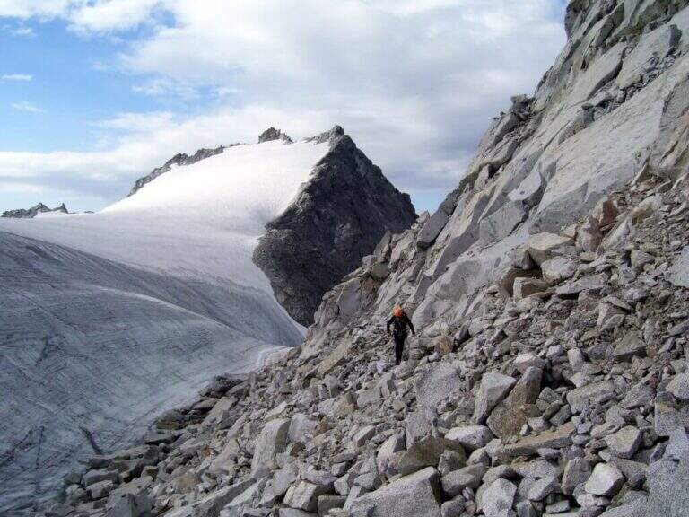
    La Ferrata Terzulli connects the Val Miller with the Adamello Pass and is normally inserted in the ascent to the Adamello. The equipment itself is of limited difficulty, but the itinerary takes place in a high mountain environment with a strong mountain character: it is therefore reserved for those with experience of ferrate and high altitude, with stable time.

    ▲Approach

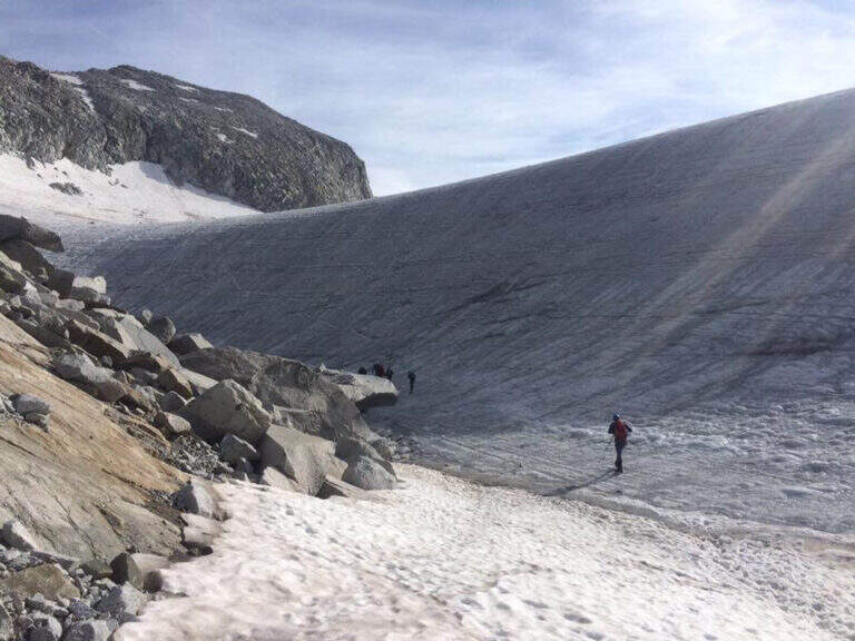
    Start from the beach at the bridge on the river Remulo, along the road to Val Malga (1528 m). Open road signs on Google Maps. Beyond the bridge, follow the dirt road to Malga Premassone, then the sentiero 23 over Malga Frino (1698 m) and go up the Miller Valley, passing the characteristics Scale Miller (rock steps with short equipped sections, 2050 m). You can reach the Rifugio Gnutti (2166 m, 1h 30' from the parking lot); continue on the 23rd along the Lake Miller and crossing the «Pantano Miller», on soil always più rocky and with possible snow languages, until all' attack (2930 m, 2h from Gnutti, 3h 30' totali).

    ▲The path

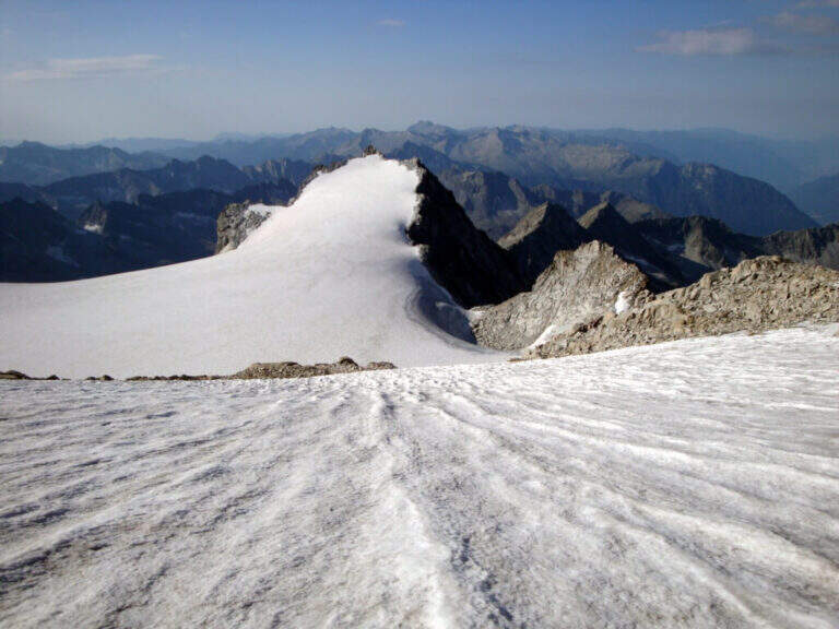
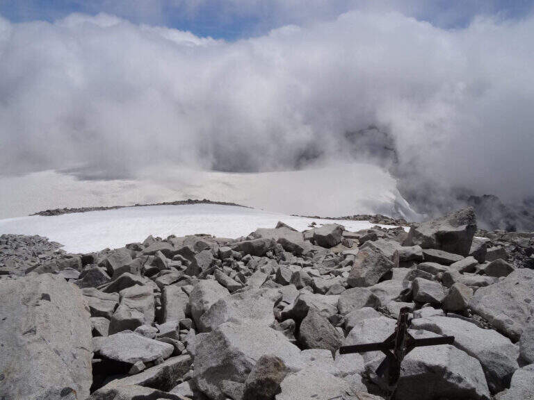
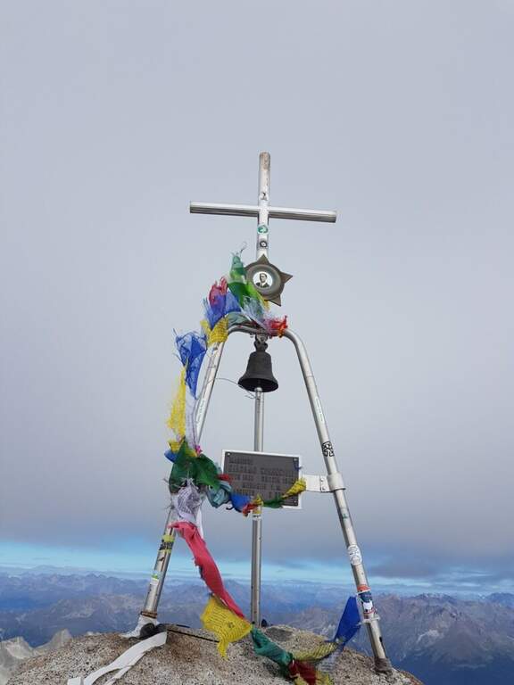
    La via è attrezzata con catena a tratti. Si inizia su un breve spigolo; a un primo terrazzino si cambiano i moschettoni su una nuova catena e si sale verticali su roccia compatta ma levigata. Terminata la catena, un sentierino esposto e roccette portano a un tratto diagonale a sinistra e poi a una salita più ripida ma senza difficoltà tecniche. Dove le attrezzature finiscono si seguono segni bianco-rossi e ometti fino a una placca inclinata dove le catene riprendono: la si risale in linea retta e poi a destra, si percorre una cengia terrosa e un traverso esposto attrezzato, quindi una breve placca chiude le attrezzature poco sotto il Passo dell'Adamello (3240 m, 1h from the attack, 4h 30' total). From here the itinerary continues in the glacial environment: you descend on the left edge of the Adamello Glacier (Bivacco Ugolini and Cima del Laghetto on the left), then climb the last ~300 m on rocks of I degree up to the west ridge and, for the thread with small balconies exposed, to the summit cross of the Adamello (3539 m, 1h 30' from the Pass, 6h total).

    ▲Character and difficulty

    Technically the ferrata is not difficult for those who already have good experience; the rock is good but not always rich in hooks. The real difficulties are the environment, the length, the altitude difference (over 2000 m overall) and the altitude. Development 22 km, maximum altitude 3539 m.

    ⚠ Itinerary d' high mountain: necessary ramponi and peak for the Snow Plan, evaluation of the conditions of the glacier on the spot and stable weather. The descent è long, exhausting and at times steep and exposed (in particular the crest from the summit to the glacier). It is recommended to break l' two-day itinerary by staying at the Gnutti Refuge.
    ▲Discipline

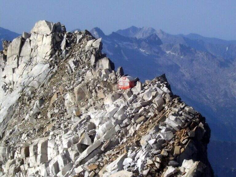
    The descent follows l' the entire ascent itinerary, disarrampicando also the Ferrata Terzulli (the normal & free route; a different itinerary that would require an overnight stay). From the summit, taking care of the steep and exposed traits; from the refuge there are the Miller Stairs and the last kilometers up to ' car (1h 30' from the refuge, 5h from the summit, 11h totali).

    ▲To match

    Staying in the upper Val Camonica you can walk, further south, the Ferrata at Corno di Grevo e la Ferrata at Pizzo Badile Camuno; towards the Tonale Pass Ferrata del Sentiero dei Fiori and, on the trentino side, the Ferrata Monte Nero.

    ▲Gallery
    Technical data
    • DifficultyHard
    • RegionLombardy
    • GroupAdamello
    • Approach3:30 h
    • Ferrata1:00 h
    • Itinerary (a/r)11:00 h
    • Hardware level difference200 m
    • Route difference2011 m
    • Max3539 m
    • Length22 Km
  • Ferrata Tordini Galligani

    Ferrata Tordini Galligani

    Vie Ferrate › Tuscany › Massa-Carrara
    Ferrata Tordini Galligani
    Moderately Hard● OpenDescriptionComplexityMapsGallery

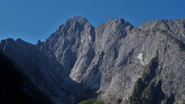
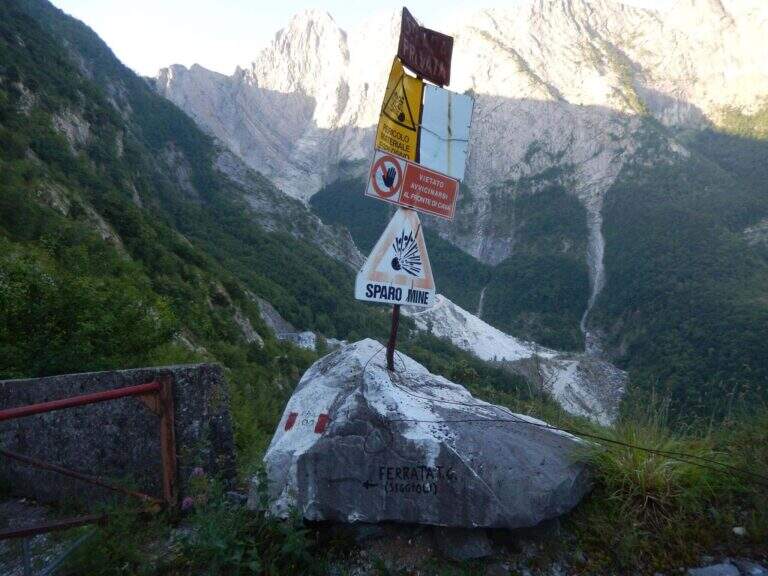
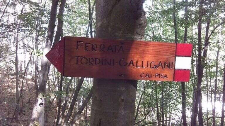
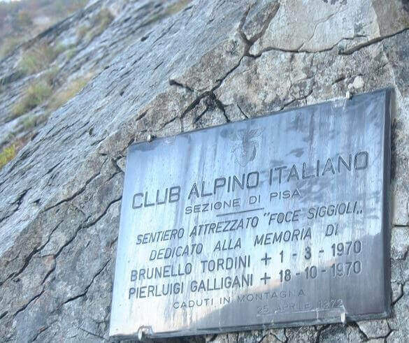
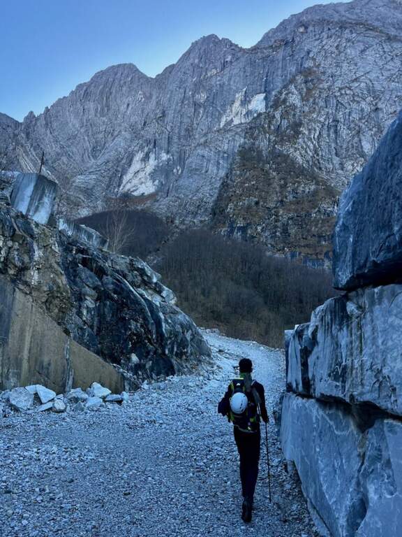
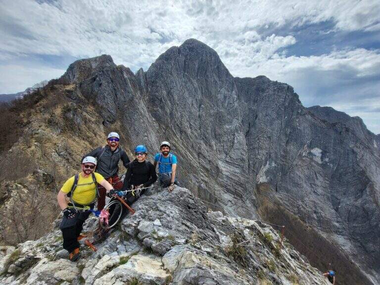
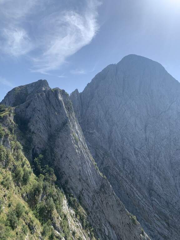
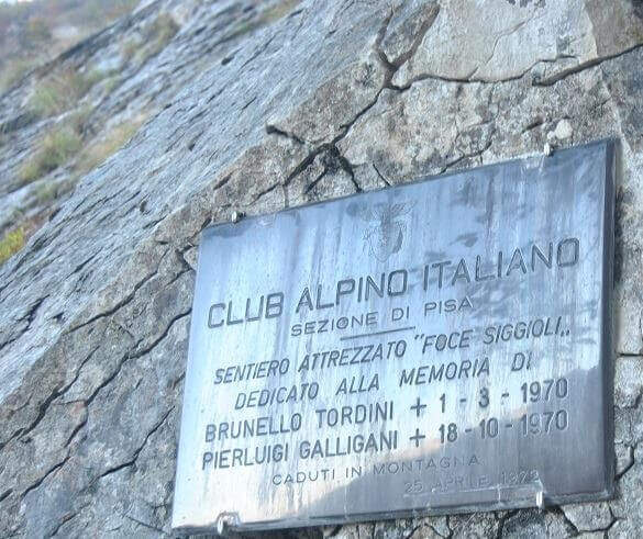
    La Ferrata Tordini – Galligani (also known as Ferrata di Foce Siggioli) è a historic street of the Apuan Alps, next to the north wall of the Pizzo d'Uccello. È of medium difficulty and agrave; and allows you to continue on path from experts to the top of the Pizzo, or to return with a più ring; simple.

    ▲Approach

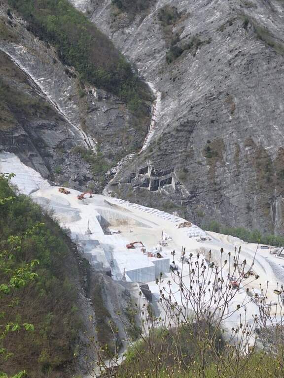
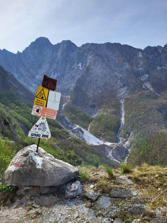
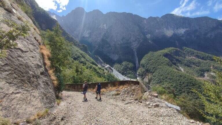
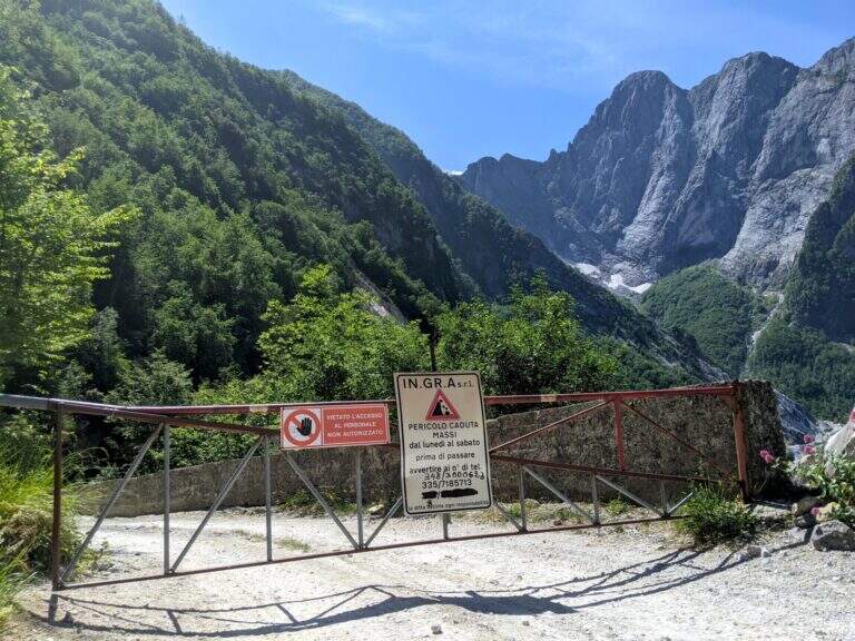
    The ideal starting point is the Cave Cantonaccio at Ugliancaldo. Open road signs on Google Maps. You park in Ugliancaldo and walk along the dirt road for about 1 km; past the bar you go up with some bends, you pass the buildings and the caves, then you enter the woods. Attention to the crossroads just entered the forest: on the right side the Path Attrezzato Zaccagna towards Vinca ( currently interdetto); on the way uphill then bending left towards the east, following the abundant CAI signs up to ' attack at the foot of the wall (circa 1h 30' from the parking ).

    ▲The path

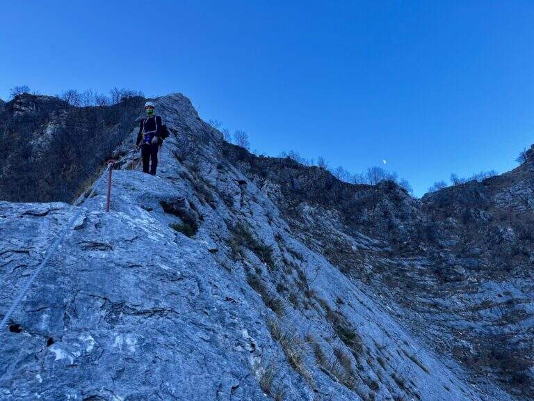
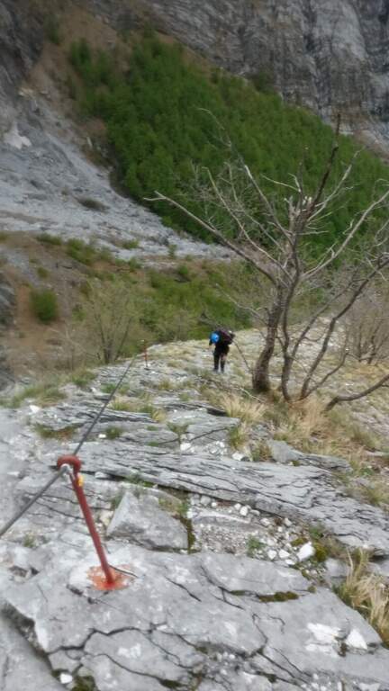
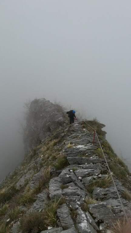
    La via ha lungo sviluppo e due settori. Il primo è una lunga placca inclinata percorsa prevalentemente in aderenza, senza sforzi rilevanti salvo alcuni balzi arrampicabili anche senza cavo; la roccia è il marmo tipico della zona, con ottima aderenza e numerosi fori che fungono da appoggi per i piedi. Raggiunto il filo di cresta, il secondo settore lo segue quasi interamente per quasi 400 metri fino a Foce Siggioli. Il passaggio chiave è il famoso «Naso», uno spigolo esposto che a prima vista pare difficile ma offre ottimi appigli scavati. La pendenza è sempre presente ma mai del tutto verticale; l'ultimo tratto è il più esposto, con pendenza che decresce fino a Foce Siggioli (1390 m), dove la ferrata termina (2h dall'attacco, 3h 30' dal parcheggio).

    ▲Character and difficulty

    Itinerary of medium difficulty, with the charm of marble rock and a long crest progression. difference in level in ferrata 400 m, total 680 m, maximum altitude 1386 m, development 8 km.

    ⚠ The path from the quarries would take to the parking lot is in bad state of maintenance (2026) and we do not recommend the use: better to park in Ugliancaldo. The nearby Path Attrezzato Zaccagna is interrupted.
    ▲Discipline

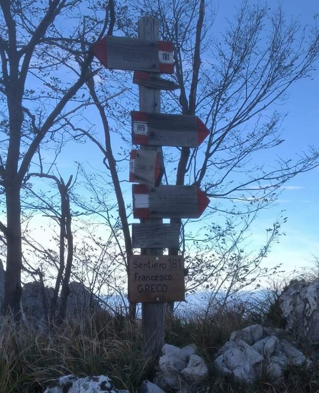
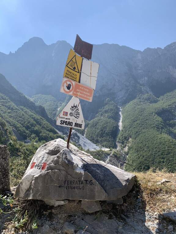
    From Foce Siggioli you can rejoin; continue towards Pizzo d' Bird (EEE trail with rocks and strokes of I degree, not described here) or return along the Cresta of Capradossa ( CAI 181), aerial and recently equipped, up to Poggio Baldozzana. From here the destra is held on the CAI 181 returning to Ugliancaldo (1h 30' from the end of the ferrata, 5h total); è not recommended the CAI 192 on the left, difficult to follow for lack of signage.

    ▲Gallery
    Technical data
    • DifficultyModerately Hard
    • RegionTuscany
    • GroupApuan Alps
    • Approach1:30 h
    • Ferrata2:00 h
    • Itinerary (a/r)5:30 h
    • Hardware level difference400 m
    • Route difference680 m
    • Max1386 m
    • Length8 Km
  • Ferrata al Torrione Porro

    Ferrata al Torrione Porro

    Vie Ferrate › Lombardy › Sondrio
    Ferrata al Torrione Porro
    Moderately Hard● OpenDescriptionComplexityMapsGallery

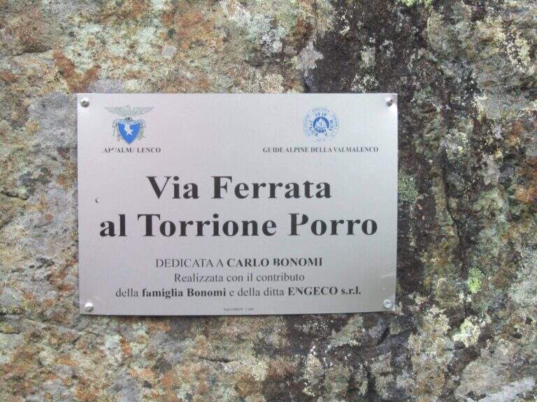
    La Ferrata al Torrione Porro develops in high Valmalenco, above Chiareggio. It is abundantly equipped and of moderate difficulty, without technical passages relevant even in the second part, more exposed; from the summit you enjoy a beautiful view on the Glacier of the Ventina and the Group of Disgrace.

    ▲Approach

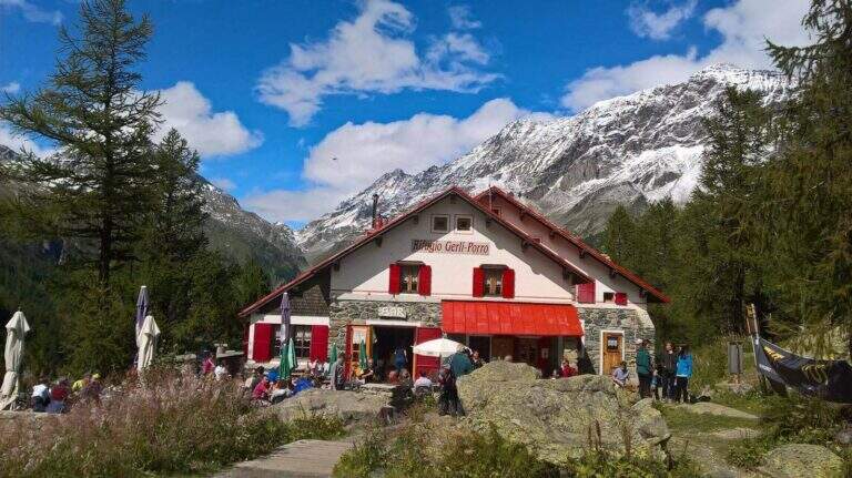
    It starts from the 'inhabited of Chiareggio (Chiesa in Valmalenco). Open road signs on Google Maps. At the end of the village a staircase descends to a pole with the CAI signposts: cross the bridge over the Mallero stream and cross the dirt road to the Rifugio Gerli-Porro (1h from the parking lot). Beyond the refuge follow the path to Lake Pirola up to a pole; you keep the left towards l' attack, you go up some bends up to a junction where you separate ferrata and normal way, and in short you reach the red sign d' start (30' from the refuge, 1h 30' from the parking ).

    ▲The path

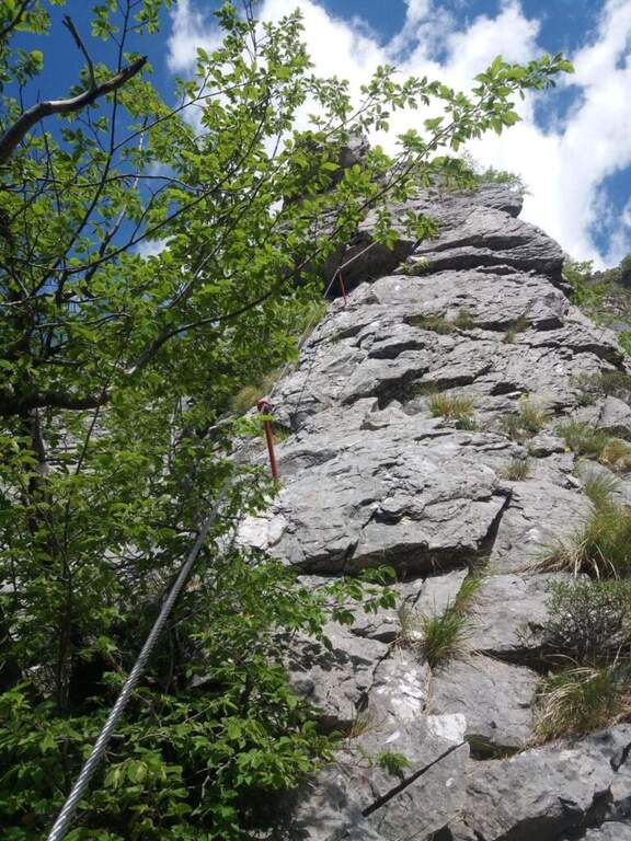
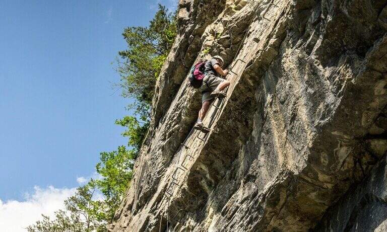
    The equipment starts on an ascending ramp to the right, runs smoothly until the first vertical sections with plenty of brackets. There are short rocky cliffs and diagonal stretches up to a ramp where the cable acts almost as a handrail. The second part è definitely più vertical and exposed but technically easy thanks to brackets and handles: tre long walls, one of which with a exposed section where the rock pushes towards l' outside and requires pi` Come on. At the end you can può climb left at the top of the Torrione Porro (50' from the attack, 2h 30' total) or continue right towards the path of the normal road.

    ▲Character and difficulty

    Recently (launched July 10, 2016, built by CAI Valmalenco and Guide Alpine Valmalenco), with equipment in good condition and very abundant: the technical difficulties are reduced and the ascent is also suitable for those who have moderate experience. 195 m, total 823 m, maximum altitude 2435 m, development 12 km.

    ⚠ As indicated by a fine-tune sign, la descent along the è route; prohibited: it falls from the normal route.
    ▲Discipline

    From the ' summit lift follow the via normal, which leads to the junction of the ' then, downhill, to the Rifugio Gerli-Porro and to the parking lot (1h 30' from the summit, 4h totali).

    ▲Gallery
    Technical data
    • DifficultyModerately Hard
    • RegionLombardy
    • GroupValmale
    • Approach1:30 h
    • Ferrata0:50 h
    • Itinerary (a/r)4:00 h
    • Hardware level difference195 m
    • Route difference823 m
    • Max2435 m
    • Length12 Km
  • Ferrata Fusetti at Sas de Stria

    Ferrata Fusetti at Sas de Stria

    Vie Ferrate › Veneto › Belluno
    Ferrata Fusetti at Sas de Stria
    Moderately Hard● OpenDescriptionComplexityMapsGallery

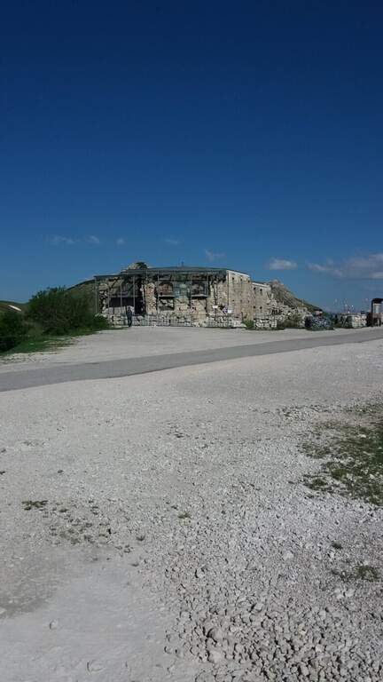
    La Ferrata Fusetti Sass de Stria rises, near the Valparola Pass on the border between Belluno and Bolzano. Built by the Alpini and dedicated to the Lieutenant Mario Fusetti, fell here in the First World War, & a medium-low difficult & agrave; very logical and climbing, of great historical value and perfect for those & beginnings.

    ▲Approach

    Starting from the ' large parking lot of the Forte at Passo di Valparola, reachable from Val Badia, Cortina and the Veneto side of Col di Lana. Open road signs on Google Maps. L'attacco è sul versante sud del Sass de Stria, opposto al parcheggio, e si raggiunge in due modi. Via breve: si segue la traccia minore che scende verso il versante ovest e in circa 5' porta alla postazione Edelweiss; da qui, attenzione a una traccia non segnalata che si stacca a sinistra aggirando la parete (presto compaiono bolli rossi e segni bianco-rossi) e, lungo la parete ovest, conduce sotto le bastionate sud fino a un sasso con l'indicazione della deviazione (20') e all'attacco (30' dall'auto). Long way: follow the white road towards Falzarego, visit the Galleries of Guerra and, bypassing the east and south slopes, you reach the same indicator rock (1h from'auto).

    ▲The path

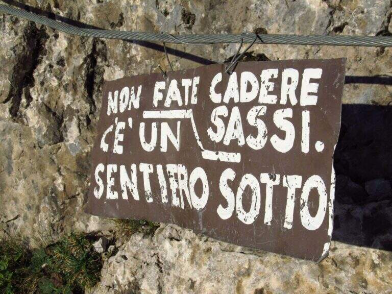
    The first meters are simple: you climb diagonally to the left and then on a sided wall. After a short connection, you will pass easy rocky leaps on a detritic background (attention not to move stones) moving to the right, up to a nod with wooden parasassis that closes the first section, easy. In front of it you can see the development on a supported plate: you climb first to the right, then to the left in a horizontal section, then a short camino full of hooks. It comes as well; under the sezione più challenging (obviously difficult): a vertical plate of about ten meters with supports present but less evident. A galleria di guerra is reached by the galleria and, for the last metres supported, the equipment is closed (45' by ' attack, 1h 15' by'auto).

    ▲Character and difficulty

    Logic and very climbing climb: the technical difficulties remain moderate and the experienced ferratista can minimize the use of the cable, while beginners find an ideal way. Level difference in ferrata 200 m, total 307 m, maximum altitude 2477 m, development 3.5 km. Inaugurated on 18 October 2018, it is a "return to the ancient" with metal equipment reduced to the minimum.

    ⚠ As often in the Dolomite ferrates the bottom is rich in debris and the ascent line is linear: pay special attention not to move stones towards those who follow.
    ▲Period and safety

    Summer street with a strong historical value, with a true open-air museum of the Great War (trinces and galleries) along the route. Short approach and return, easy to match with nearby ferrates. GPX and KMZ tracks available.

    ▲Discipline

    The ferrata ends on a plateau in the middle of the normal route of the Sass de Stria. You can return directly to the Valparola Pass (20' from the term, about 1h 30' total) or, recommended, climb up to the top: follow a track between the trenches, some rocks of I degree and two series of ladders with cord, reaching the top in about 30' from the end of the ferrata, with 360° view over the dolomites.

    ▲To match

    From the Valparola Pass and the nearby Falzarego are many equipped: the Kaiserjager trail at Lagazuoi, la Ferrata Cesco Tomaselli in Cima Fanis Sud, la Alpine Brigade Cadore at Col dei Bos; going down towards Cortina la Ferrata dell'Averau e la Nuvolau; on the Tofana of Rozes Ferrata Lipella; towards Val Badia il Piz Conturines and the long Ferrata della Pace.

    ▲Gallery
    Technical data
    • DifficultyModerately Hard
    • RegionVeneto
    • GroupDolomites
    • Approach0:30 h
    • Ferrata0:45 h
    • Itinerary (a/r)2:00 h
    • Hardware level difference200 m
    • Route difference307 m
    • Max2477 m
    • Length3,5 Km
  • Ferrata Lieutenant Ferrante di Ruffano

    Ferrata Lieutenant Ferrante di Ruffano

    Vie Ferrate › Friuli-Venezia Giulia › Udine
    Ferrata Lieutenant Ferrante di Ruffano
    Very difficult● OpenDescriptionComplexityMapsGallery

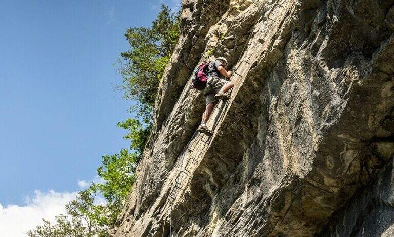
    La Ferrata Lieutenant Ferrante di Ruffano was created by the Alpini near Pontebba, in the province of Udine. It is a vertical, challenging and athletic way in many passages, ideal as training in the months when high altitudes are not practicable: it does not reach any peak and develops at low altitude alongside numerous climbing pitches.

    ▲Approach

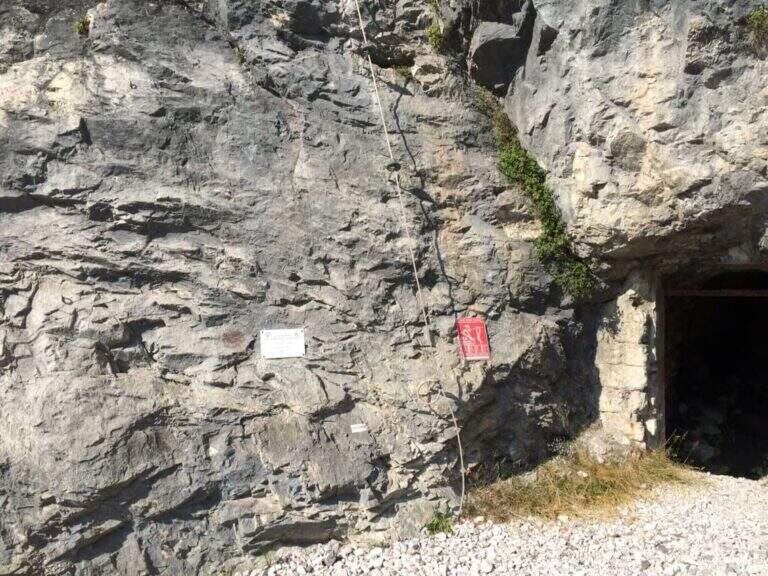
    From the tollgate of Pontebba you hold the left towards the center; over a bridge, under the viaduct of the highway you turn right on an asphalted road that continues under the highway towards the valley, becomes dirt in good condition and ends at a pedestal. Open road signs on Google Maps. Continue towards the Falesia Rio degli Uccelli following a sign that indicates l' the ferrata attack (5' from'auto), on the right side of the stream, reached with some fixed ropes just above the raw.

    ▲The path

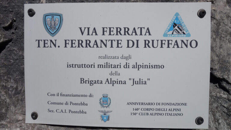
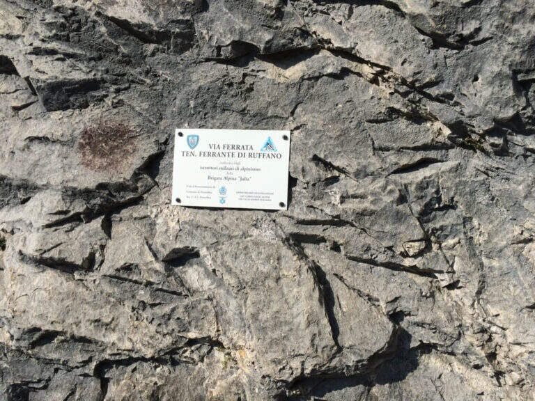
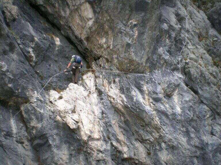
    Accanto alla targa commemorativa il cavo parte verticale e l'impostazione atletica è subito chiara. I primi metri salgono su roccia levigata e traversano a destra fino a un terrazzino con breve cengia; segue un impegnativo traverso orizzontale di 6-8 metri, dove la scarsità di appoggi per i piedi è la difficoltà principale: si scende un paio di metri e poi il cavo riparte verticale, agevolato da alcune cambre. Con l'aiuto di staffe si raggiunge un breve tratto di collegamento appoggiato (attenzione a non smuovere sassi su chi segue). Dopo una cengia a sinistra ci si porta verso un evidente diedro: lo si sale prima a destra, poi attraversandolo a sinistra senza difficoltà sostanziali grazie a numerose cambre, fino a un passo strapiombante da affrontare con decisione e rapidità (qui avviene il cambio di moschettone in pieno strapiombo). Si esce su una parete verticale molto esposta ma ricca di cambre, dove è possibile riposare; ci si sposta a sinistra su buona roccia e si sale una paretina e un bel diedro, quindi facili gradoni appoggiati. La via riparte verticale e impegnativa fino a un tratto di sentiero attrezzato tra i pini, da cui una deviazione raggiunge un pulpito. Riprende con un traverso a sinistra in leggera discesa (occhio ai sassi mobili) e uno in salita in lieve strapiombo, fino a uno spigolo da cui inizia un lungo tratto di discesa attrezzata su placca, non difficile ma che richiede attenzione nella ricerca degli appoggi. Si raggiunge così il termine della via (circa 1h 30' dall'attacco).

    ▲Character and difficulty

    Low-altitude, training and vertical, physical at the most difficult points and with new fixtures in good state. Not to be underestimated also for the long stretch of descent equipped. Level difference in ferrata 130 m, total 160 m, development 4 km.

    ⚠ Along the vertical and overhanging traits it is worth planning the stops; in the connecting tract and in the beams they are easily removed stones: maximum prudence for those below.
    ▲Period and safety

    It is a low-altitude è route; it can be reached in much of the ' year, rock conditions allowing. GPX and KMZ tracks are available.

    ▲Discipline

    From the end of the road follow the trail used for nearby climbing routes ( approximately 30', 2h totali).

    ▲Gallery
    Technical data
    • DifficultyVery difficult
    • RegionFriuli-Venezia Giulia
    • GroupAlps Carnia
    • Approach0:15 h
    • Ferrata1:15 h
    • Itinerary (a/r)2:00 h
    • Hardware level difference130 m
    • Route difference160 m
    • Max726 m
    • Length4 Km
  • Ferrata Tabaretta

    Ferrata Tabaretta

    Vie Ferrate › Trentino-Alto Adige › Bolzano
    Ferrata Tabaretta
    Very difficult● OpenDescriptionComplexityMapsGallery

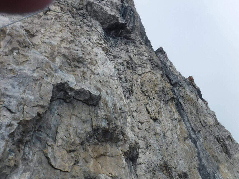
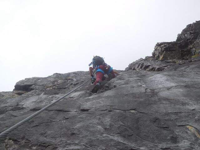
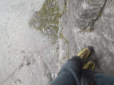
    La Ferrata Tabaretta is one of the most severe routes in the Italian Alps: the imposing north wall of the Ortles, under Punta Tabaretta, dates back to a high mountain environment over 3000 meters. Technical difficulties up to the extreme are added to a remarkable physical and mental commitment; the rock is often poor of hooks and in many ways it advances by pulling on the cable. There are no escape routes.

    ▲Approach

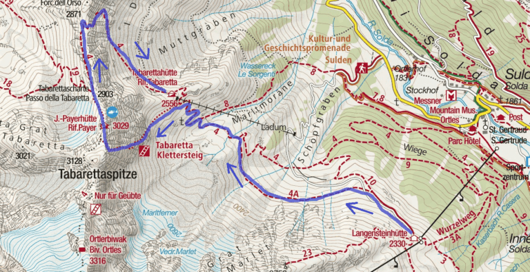
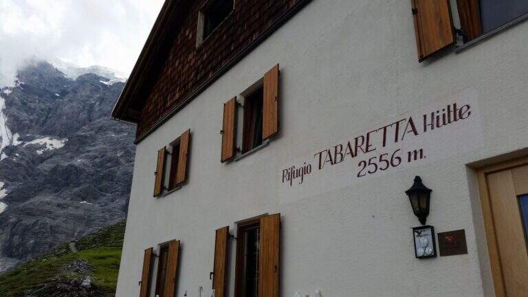
    From the upstream station of the seggiovia dell'Orso in Solda (2330 m); è the share to which to descend, without continuing beyond. Open road signs on Google Maps. Dalla stazione si segue il sentiero CAI 10 a mezza costa fino a un bivio, dove si tiene la sinistra sul CAI 4A; si procede verso ovest aggirando la parete nord dell'Ortles fino a innestarsi sul CAI 4 e, per alcuni tornanti, si raggiunge il Rifugio Tabaretta (2556 m, 45' from the upstream station). Behind the refuge starts the marked path «Ferrata – North-and-raque wall; which, halfway south-west, leads under the bastion all' attack (15' from the shelter, 1h from the station).

    ▲The path

    You start on rocks at a corner; climb it immediately you gain exposure and you enter the street figure, with few hooks that force you to pull on the cable. After a terrace you descend a couple of meters and you will reassemble a very exposed dihedron, then a diagonal plate leads to a small terrace. Since 2019 the original attack has been replaced by a more challenging variant: a wall of a hundred meters, vertical, exposed and flooded with supports, which stands on the same terrace. Continue to the right on small rocks and on a vertical plaque, a short traverse to the right and a dihedron taste; a rocky roof forces to cross to the left at a crack (first tiring tract). The cable starts vertically in a slightly overhanging and little stretched up to a panoramic terrace on the Tabaretta Refuge and Ortles. After some vertical meters bend diagonally to the right in ascending cross of Geelen Knott, the key passage: very few supports for the feet, to be overcome with rapidity and force of arms not to "burn" (use a referral or a fog). You pass the roof, you go up with a second rope on the right, you walk around a corner and you reach a large terrace with short hint. They follow a plaque of about twenty meters, easy rocks, a smooth plaque to be overcome by pulling on the cable, a very exposed right traverse and more climbing traits, up to a stretch of crest and to the book signatures. The last section climbs on aerial edge, a horizontal beam exposed, a vertical wall with a small protruding roof and an ascending traverse to the demanding but entangled right, then a difficult dihedron and plane (plug on the right side, not enough to climb without cable). You leave on the left, you pass plaque, small rocks and a short fireplace and finish the equipment. For a gravel path you can connect to the ridge that from the Rifugio Payer climbs to the Ortles, the highest point of the route (3076 m), and descend to the Rifugio Payer (3029 m, 2h from the attack, 3h 45' from the mountain station).

    ▲Character and difficulty

    Continues and without respite: most of the stretches are difficult and very difficult, with extreme tips such as the Geelen Knott traverse. Maximum ratings on all fronts (technical, environment, exposure, physical commitment). The equipment is great but should not induce to underestimate the way.

    ⚠ No escape and mountain environment over 3000 m: climb reserved for very trained ferratisti, with careful weather assessment and early departure. Level difference in ferrata 500 m, total 720 m, development 9,6 km.
    ▲Period and safety

    Summer itinerary d' high altitude, to be faced with stable conditions and dry rock. The GPX and KMZ tracks are available. The Tabaretta and Payer refuges offer support along the route.

    ▲Discipline

    Dal Rifugio Payer si segue il sentiero di cresta CAI 4, con tratti esposti e parzialmente attrezzati, fino alla Forcella dell'Orso (2871 m); da qui si scende ripidamente, poi più dolcemente, nella vallata di Solda al Rifugio Tabaretta (1h 30' dal Payer, 5h 15' totali). Si rientra infine a ritroso per il sentiero di avvicinamento alla stazione a monte della funivia dell'Orso (30', 5h 45' totali).

    ▲Gallery
    Technical data
    • DifficultyVery difficult
    • RegionTrentino-Alto Adige
    • GroupOrtles
    • Approach1:45 h
    • Ferrata2:00 h
    • Itinerary (a/r)5:45 h
    • Hardware level difference500 m
    • Route difference720 m
    • Max3076 m
    • Length9,6 Km
  • Ferrata Stella Alpina all’Agner

    Ferrata Stella Alpina at Agner

    Vie Ferrate › Veneto › Belluno
    Ferrata Stella Alpina at Agner
    Very difficult● OpenDescriptionComplexityMapsGallery

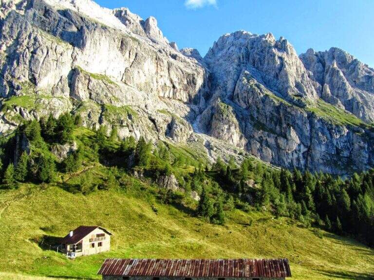
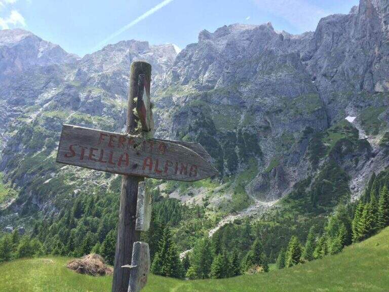
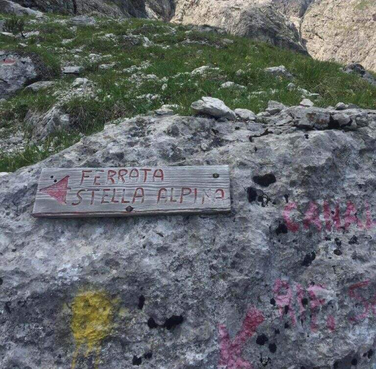
    La Ferrata Stella Alpina ` the equipped road that leads to Monte Agner, in the Pale di San Martino. The complete è tra i più challenging Italian landscape: more than 10 hours, reserved for very experienced hikers not only of ferrate but also of high mountain. At the difficulty and the stretch is added the long crossing of the Laste, the ascent all'Agner and the difficult descent along the Canalone.

    ⚠ Itinerary very long (more than 10 hours, altitude difference almost 1700 m, peak 2872 m) and extremely serious. The crossing of the Laste è exposed, with signs often faded, and becomes prohibitive with fog; with wet è rocks; not recommended. The discesa along the Canalone è steep, on unstable gravel bottom, often with snow in the lower part: useful ramps and telescopic sticks. Face it only in good state of training and with stable weather; it is recommended to break it in two days (Bivacco Biasin in Forcella Pizzon).
    ▲Approach

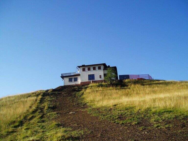
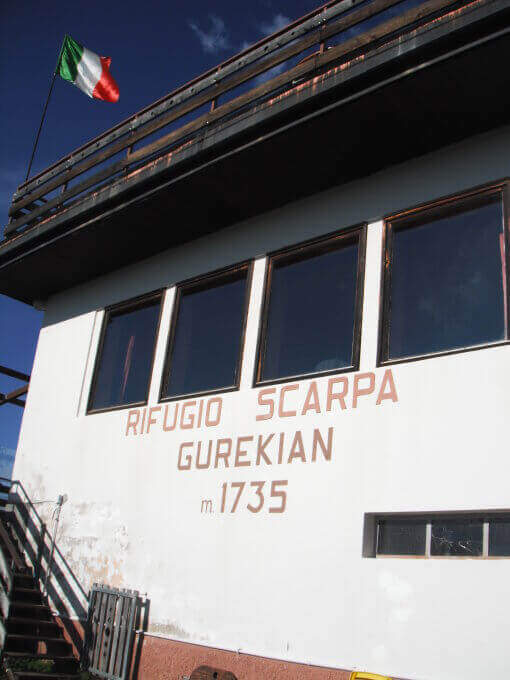
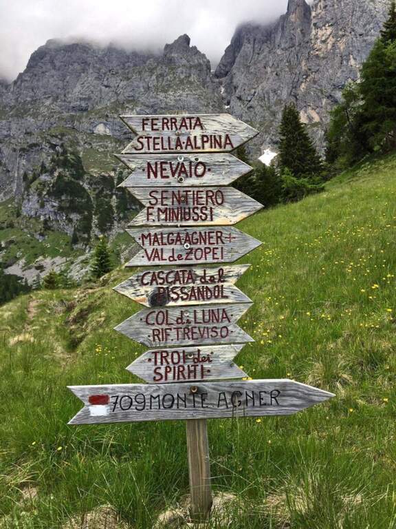
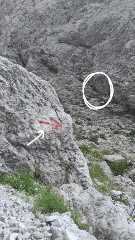
    The starting point is Frassanè (Belluno), at the foot of the Agner, reachable from Agordo or from Fiera di Primiero. Open road signs on Google Maps. In the village, from Via della Vittoria take via Domadore to a biforcation with CAI signposts (right on 771, left on 772) and park in a deck (1182 m). It goes up with 771 lungo la forestale, poi per prati lungo le piste da sci fino al Rifugio Scarpa (1735 m, 1h dal parcheggio). Dal rifugio, seguendo le indicazioni per la Ferrata e il Sentiero Miniussi, si raggiunge Malga Losch e si tiene la sinistra uscendo dal bosco; avvicinandosi alle bastionate dell'Agner, a un bivio (dove davanti si vede il nevaio del canalone di rientro) si segue a sinistra per l'attacco, al termine di una gola senza uscita, su roccette con bolli giallo-rossi e l'attraversamento di un canale fino al cartello romboidale (1955 m, 1h 45' dal parcheggio).

    ▲The path

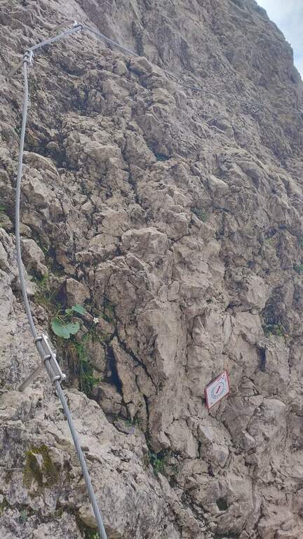
    La prima sezione supera un risalto roccioso, verticale ma appigliato, poi piega a destra su roccette e a sinistra; segue un tratto di collegamento su ghiaia, prato e roccia con vistosi bolli gialli. Si ritrovano le attrezzature presso un cartello che invita a non smuovere sassi: inizia la seconda e più impegnativa sezione. Dopo un tratto diagonale, il cavo sale verticale su una parete dagli appigli poco evidenti, poi traversa a destra verso il primo di una serie di camini, risalito in spaccata con l'aiuto di alcuni pioli. Si traversa a destra verso una stretta gola (attenzione agli zaini ingombranti), che si risale sul versante sinistro; seguono passaggi verticali in esposizione crescente, con il canalone innevato del rientro alle spalle. L'ultima sezione traversa a sinistra fino a un aereo spigolo con vista sul Rifugio Scarpa; si sale una parete verticale fino a un passaggio delicato e leggermente strapiombante lungo una fessura, da affrontare con agilità, poi il cavo piega a destra sotto il passaggio chiave: una placca verticale e liscia da risalire cercando i pochi appigli naturali e i pioli metallici. Gli ultimi metri esposti portano a «Le Laste» (2320 m, 1h 45' dall'attacco, 3h 30' totali). Inizia qui il lungo attraversamento delle Laste dell'Agner, su sentiero dapprima su sassi e prato poi su fondo roccioso, tutt'altro che banale (proibitivo con la nebbia): si seguono segni sbiaditi e ometti, fra roccette da arrampicare in libera e tratti attrezzati su placca e cengia, generalmente esposti e sconsigliati con roccia bagnata, fino al Bivacco Biasin a Forcella Pizzon (2645 m, 1h 45' dal termine della ferrata, 5h 15' totali). Per chi prosegue verso la vetta, si aggira la parete sud-occidentale dell'Agner su tratti attrezzati e un'esposta e aerea cengia, poi una rampa esposta ma non difficile e una traccia ripida fino alla croce sull'anticima dell'Agner (2872 m, 1h dal Bivacco Biasin, 6h 15' totali).

    ▲Character and difficulty

    The technical difficulties of the single stretch are "very difficult"; to these are added the objective difficulties of the Laste, the climb to the Agner and the difficult descent along the Canalone, in addition to a long approach and return. Overall it is one of the most demanding excursions in Italy.

    ▲Period and safety

    GPS tracks (GPX and KMZ) are available. From Forcella Pizzon you can go back avoiding the climb to the summit. Bivacco Biasin is in good condition for overnight stays.

    ▲Discipline

    Dalla vetta si torna a Forcella Pizzon e al Bivacco Biasin (45' dalla vetta), prestando attenzione al tratto tra cima e cengia per i pochi segni sbiaditi. Dal bivacco si scende ripidamente sul lato sinistro del canalone, su fondo sdrucciolevole con tratti attrezzati, fino a un bivio (segni sbiaditi su roccia): a destra il sentiero lungo il Canalone (qui descritto), a sinistra la via normale con segni gialli. Il Canalone scende a ripidi tornanti su ghiaione instabile, con nevaio nella parte bassa, fino in vista del Rifugio Scarpa e al bivio dell'attacco (1820 m, 1h 30' dal bivacco, 8h 30' totali); poi a ritroso fino al Rifugio Scarpa e, per il 771, al parcheggio (circa 10h totali).

    ▲To match

    Itinerary that alone engages comfortably two days. Staying in the Pale di San Martino you can reach Ferrata dell'Orsa in Val San Lucano or, in Val Canali, la Ferrata Buzzati, il Hunter's Path e la Ferrata del Canalone; towards Civetta la Yellow Flames, the extenuating Constantine, la Titus e l'Alleghesi.

    ▲Gallery
    Technical data
    • DifficultyVery difficult
    • RegionVeneto
    • GroupPale di San Martino
    • Approach1:45 h
    • Ferrata1:45 h
    • Itinerary (a/r)10:00 h
    • Hardware level difference346 m
    • Route difference1692 m
    • Max2872 m
    • Length14,4 Km
  • Ferrata Strada degli Alpini

    Ferrata Strada degli Alpini

    Vie Ferrate › Trentino-Alto Adige › Bolzano
    Ferrata Strada degli Alpini
    Moderately Hard● OpenDescriptionComplexityMapsGallery

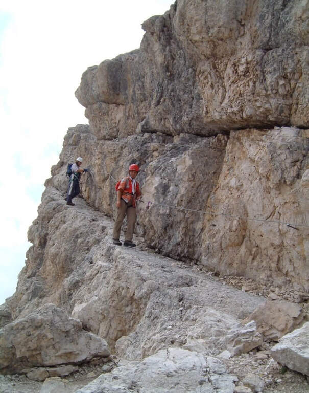
    La Ferrata Strada degli Alpini walk through a splendid itinerary in the Sesto Dolomites, going up the eastern slope of Val Fiscalina Alta from the Comici Refuge to Forcella Undici along the historic Cengia della Salvezza of the Great War. For large sections there is no particular difficulty; although exposed; ` a very long ring with high altitude difference, to be prepared with care and to go only if well trained.

    ▲Approach

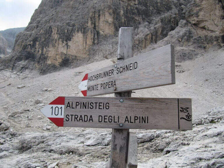
    Starting point l' Hotel Dolomitenhof in Val Fiscalina (1454 m), reachable from Moso in Val Pusteria. Open road signs on Google Maps. Follow the 102 road towards the south to the Rifugio al Fondo Valle (1548 m, 30'), then always 102 towards the south-west and at a crossroads you keep the left on the path 103 towards the Rifugio Comici, climbing along the left of the Val Fiscalina Bassa (on the opposite side you can see the ridge of the Strada degli Alpini) up to the Rifugio Comici (2224 m, 2h 30' from the parking ). From the hut continue on the 103 south, downhill and then on the left towards Forcella Giralba, on the left side of the Croda dei Toni; before the fork you will meet on the left the path 101 towards Monte Popera. Going up towards a fork and going down a few meters, at a crossroads (on the right the normal Popera) continue north to half-coast until the census of the' attack (1h from the Rifugio Comici).

    ▲The path

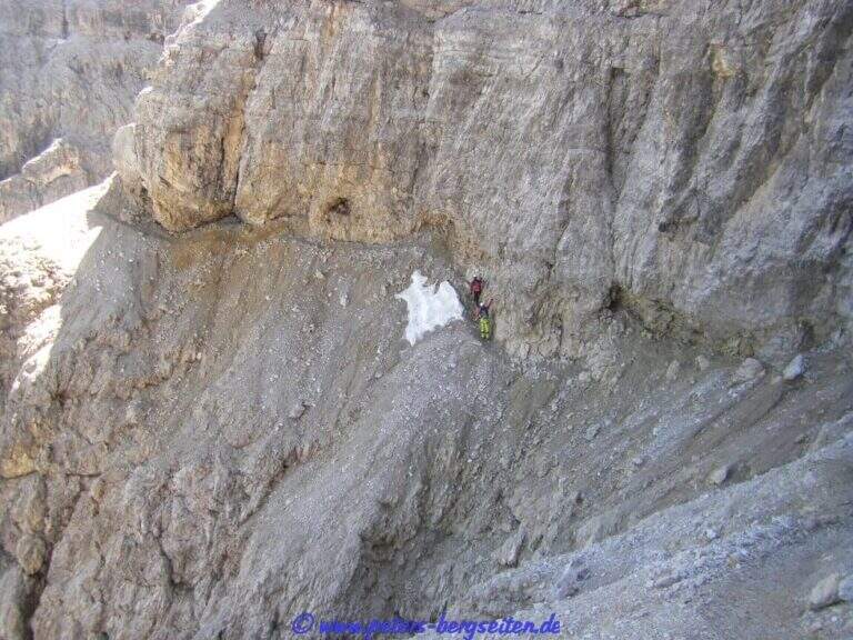
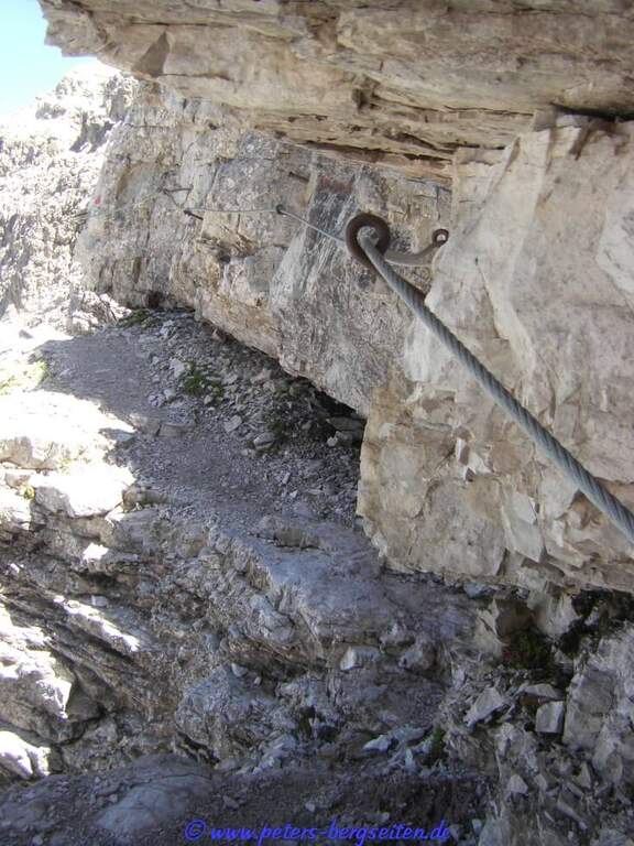
    The initial trait goes beyond easy rocks and then develops along the Cengia of Salvazza, carved into the rock during the Great War. First, a very wide nod, at times not equipped, to the più point; iconic: the nod abruptly turns into a rock retaliation and is circumvented from the ' inside, with the characteristic view that recalls a «spada». Exit on the opposite side, after some rocks, the nod continues between modest climbs along the west wall of the slopes of Cima Undici, with wonderful views on Cima Dodici and Val Fiscalina: generally wide, you walk without problems despite the precipice on the left. At a rocky roof it is lowered on a wooden catwalk; più forward, in a recess, a waterfall and, according to the season, a snowmaker. The census now continues without protection, uphill on a detritic background, it overcomes a new snowfall and reaches an old military muretto where the first stretch ends (1h 45' from' attack, 5h 15' total). Continue on unprotected nod, in falsepiano, up to Forcella Undici, where the ferrata ends with a 360° panorama; on Croda Rossa di Sesto, Cima Undici, Cima Twelve and Cima Uno (2h 30' from' attack, 6h totali).

    ▲Character and difficulty

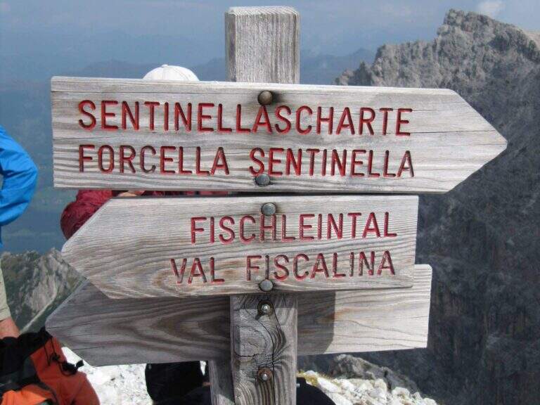
    For the first two thirds the route does not present technically challenging passages: it develops above all on exposed but well equipped cenges. The most vertical and medium-difficult stretches meet downhill, especially towards Passo della Sentinella.
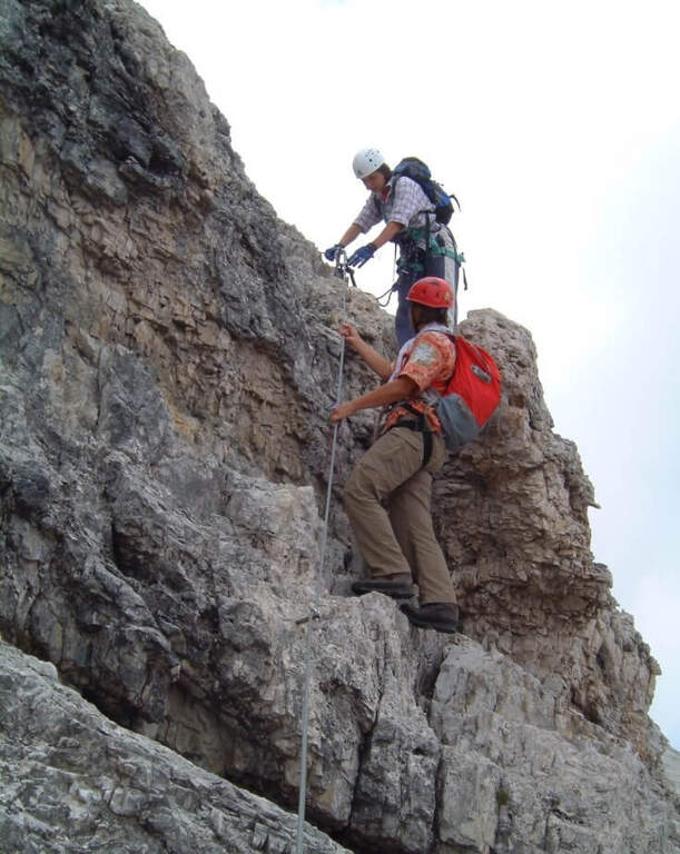
    ⚠ Some unprotected steps are exposed and require steady foot. The excursion is long and after the Rifugio Comici there are no other points of support until the return: taking place just under the 3000 m it goes only with stable time. It can be useful to have ramps if the snows are still present, often with hard snow.

    ▲Period and safety

    An official GPS track is not available for this route. The map of the 4Land Dolomites is useful.

    ▲History

    The Strada degli Alpini has its roots in the Great War, when the "Cengia della Salvezza" — originally a natural nod, then enlarged by the mountaineers — connected Forcella Giralba to the west terrace of Cima Undici to reach and strengthen the positions in view of the attack on the Passo della Sentinella, then the Italian-Austrian border. After the war Francesco Meneghello (CAI) brought to light the itinerary and in 1932 the CAI of Padua equipped it with metal ropes and ladders; the stretch from Forcella Undici to Passo della Sentinella was instead equipped by the CAI of Padua in the seventies.

    ▲Discipline

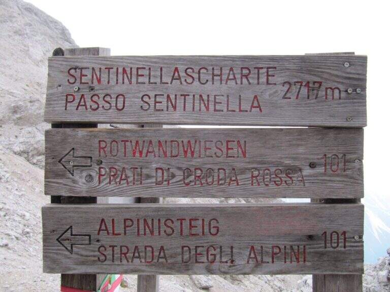
    From Forcella Eleven two options. The first follows the signpost 124 che, aggirando l'Elferschartespitze, scende in Val Fiscalina con un traverso attrezzato e un paio di canalini franosi, poi un vallone detritico con la Croda Rossa a destra, fino al parcheggio (1h 30' da Forcella Undici, 6h 45' totali). La seconda scende al Passo della Sentinella (anche detta Ferrata del Passo Sentinella): cenge, una scaletta, l'attraversamento di un canale, una lunga passerella di legno e balzi verticali in forte esposizione fino al passo (2717 m, 1h da Forcella Undici), ricco di resti bellici; si scende poi a sinistra nel Vallon Sentinella, dapprima molto ripido e attrezzato, fino al bivio con il sentiero 124 che riporta in Val Fiscalina e al parcheggio (8h totali).

    ▲To match

    Itinerary ideal to be inserted in several days: a classic match the Ferrata Roghel e la Cengia Gabriella towards the Rifugi Berti and Carducci, then using the Strada degli Alpini to return to the Berti from the Val Popera; or the climb to the Croda Rossa di Sesto for Ferrata Zandonella and the descent to the Costoni di Croda Rossa.
    ▲Gallery
    Technical data
    • DifficultyModerately Hard
    • RegionTrentino-Alto Adige
    • GroupSesto Dolomites
    • Approach3:30 h
    • Ferrata2:30 h
    • Itinerary (a/r)8:00 h
    • Hardware level difference337 m
    • Route difference1200 m
    • Max2717 m
    • Length11 Km
  • Ferrata Spigolo della Bandiera

    Ferrata Spigolo della Bandiera

    Vie Ferrate › Lombardy › Brescia
    Ferrata Spigolo della Bandiera
    Moderately Hard● OpenDescriptionComplexityMapsGallery

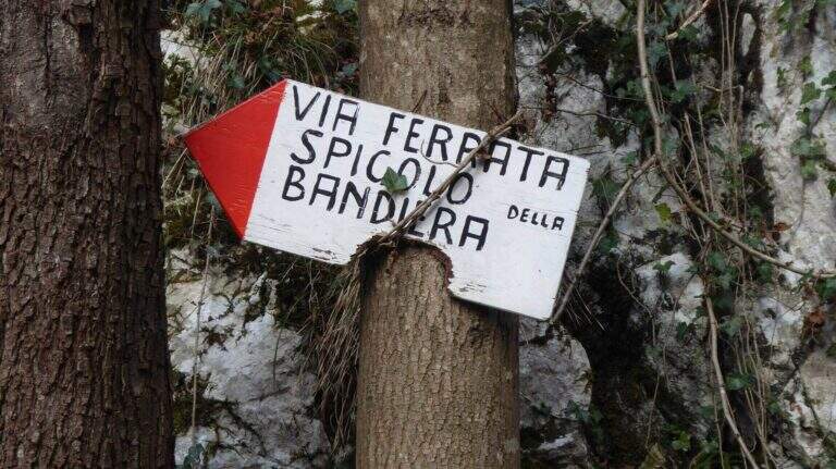
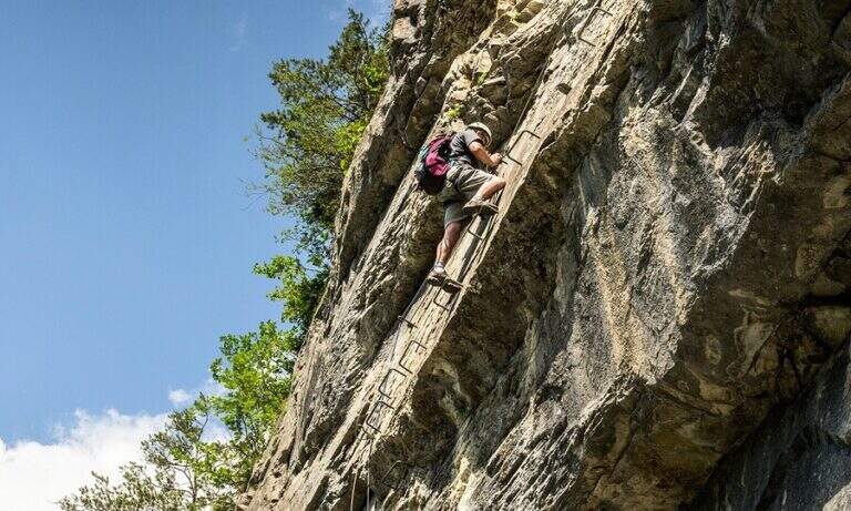
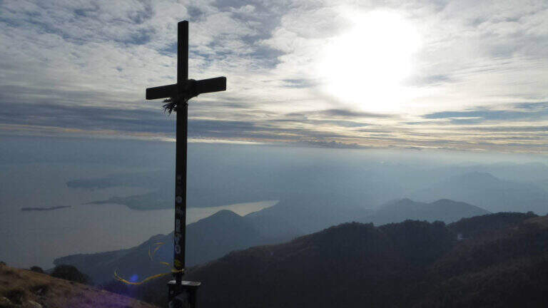
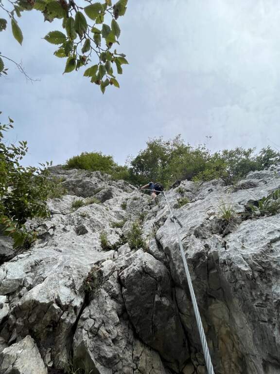
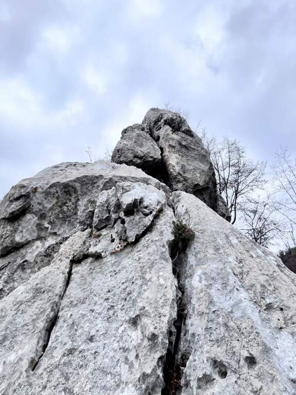
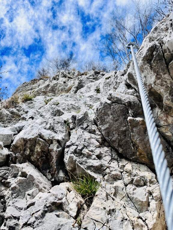
    La Ferrata Spigolo della Bandiera climbs an aerial edge at Monte Spino, above the western coast of Lake Garda. È a short but exposed and athletics: in più points l' excellent jagged rock allows to climb, but a passage requires a momentum due to the scarce natural couple. The route è was renovated in 2019 with a slightly modified track that avoids the old key point, but that introduces a short overhanging step of level difficult not to underestimate.
    ▲Approach

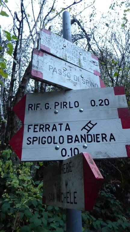
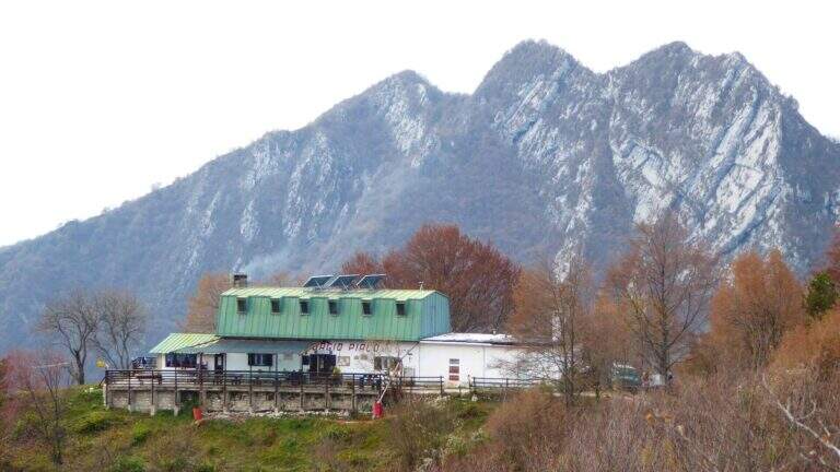
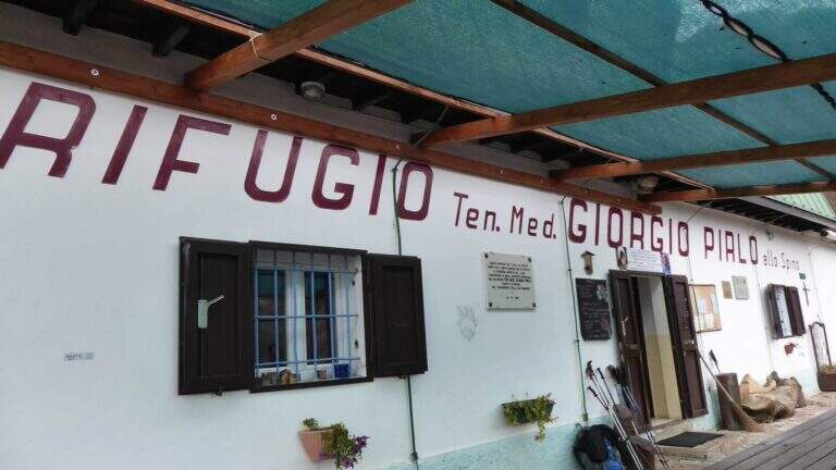
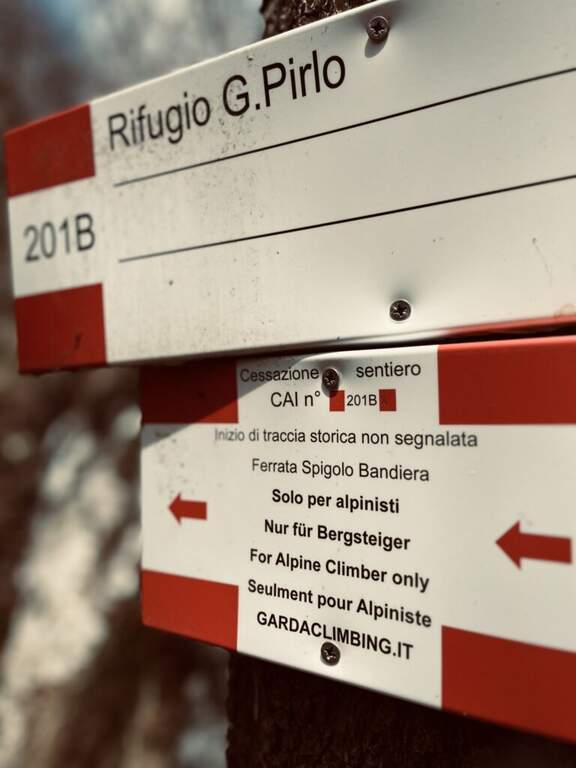
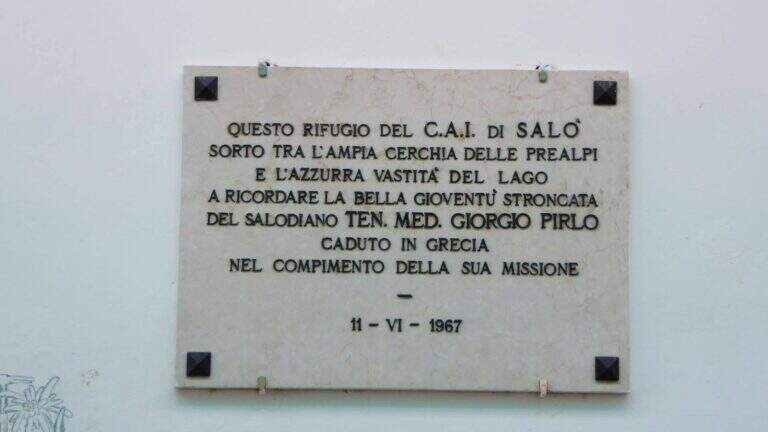
    Starting point San Michele, at Gardone Riviera (crossing Brescia del Garda): from San Michele you go towards the Val di Sura to the Restaurant Colomber, at a fork. Open road signs on Google Maps. You can park at the restaurant or keep the left on a road that soon becomes dirt and then dissected (recommended to the low cars), with several wide to the locality Verghere. From the restaurant continue on the road on the left to Verghere, then on the CAI path 201, guadando due volte il torrente Barbarano (attenzione a seguire i segni CAI, talvolta ingannevoli) fino al bivio di Cascina Gemelle (950 m, 1h dal parcheggio), dove si tiene la sinistra in salita verso il Rifugio Pirlo allo Spino e la ferrata; un ripido sentiero porta al bivio segnalato per la Spigolo della Bandiera (1h 10' dal parcheggio, 1h 30' dal ristorante).

    ▲The path

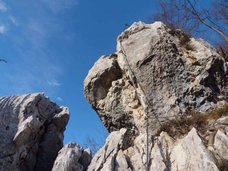
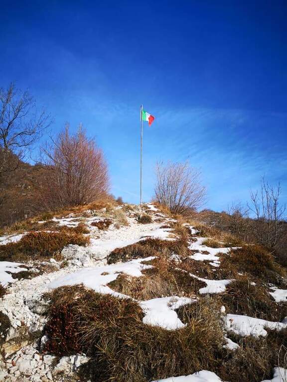
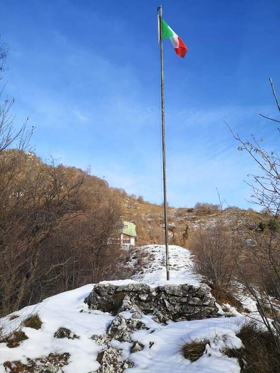
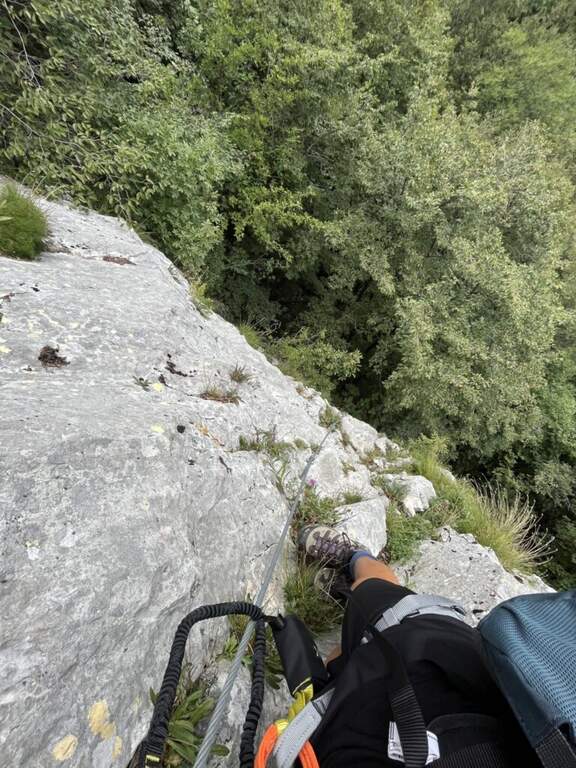
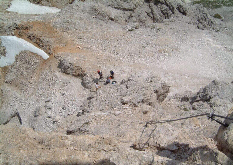
    The road begins with a medium-traverse of difficult-to-grave; to the left to a vertical wall on the right side of the edge: part quite entangled, with a couple of challenging passages for the small hooks, up to a nail beyond which the edge becomes più easy and pleasantly climbable, albeit aerial (attention to the stability & agrave; of some blocks). You reach a rough terrace where to stay. On the new track 2019, from the terrace you move to the left in an exposed area, crossing on smooth rock and difficult to climb, up to good supports for the feet leading under the new key step: a overhanging wall of 4-5 meters, where two brackets help the first two meters but the rest is probably going over the cable. You get under the characteristic passage of the old track, which goes right up a wall with l' aid of a bracket, reconnecting just above all' original itinerary on the terminal crest. Quest' last stretch è exposed but not difficult, with the cable that mainly acts as a handrail; finished the equipment, the path leads to the top flag (30' from' attack, 1h 40' totali).

    ▲Character and difficulty

    Short but exposed, good test bench after the first easy ferrates: vertical, with stretches free of natural or artificial hooks in which you need to pull up of arms with a certain athleticity. The rock is however good and in many ways gives idea of stability.

    ⚠ Strong exposure along almost the entire route, with a peak in the last passage before the final crestine. The new 2019 track does not reduce the difficulties but increases them, with the overhanging step as a key point.

    ▲Period and safety

    GPS tracks are available (GPX and KMZ); for the area is useful the map of the 4Land Alto Garda Bresciano Park.

    ▲Discipline

    Dal termine si segue la traccia più marcata a sinistra verso il Rifugio Pirlo (da cui il sentiero direttissimo riporta al bivio della ferrata e all'auto, 3h totali), oppure a destra verso il Passo dello Spino e poi il CAI 1 fino al bivio dell'andata (3h 30' totali); in alternativa l'ampia forestale riporta al Ristorante Colomber (4h totali).

    ▲To match

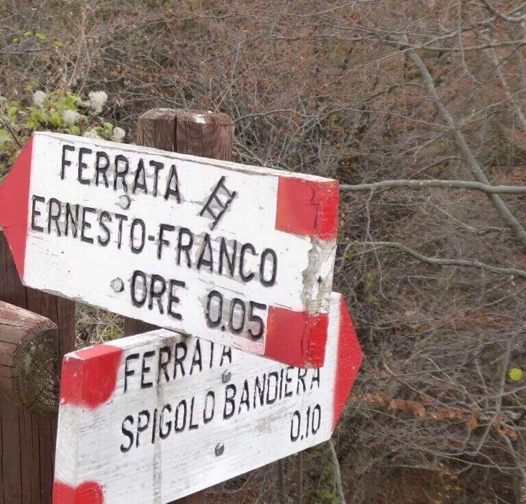
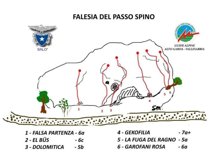
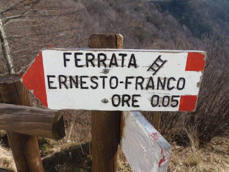
    The nearby Ferrata Ernesto Franco, an ideal time to match, was dismantled and replaced by a cliff equipped at the Pirlo refuge. Returning, you can continue towards Sentiero Sperone del Crocefisso o, towards Lake Idro, la Ferrata Crench and the neighbors ♪ e Gypsies.

    ▲Gallery
    Technical data
    • DifficultyModerately Hard
    • RegionLombardy
    • GroupAlto Garda Bresciano
    • Approach1:10 h
    • Ferrata0:30 h
    • Itinerary (a/r)3:00 h
    • Hardware level difference100 m
    • Route difference650 m
    • Max1165 m
    • Length11,6 Km
Need help? Write to us!