Stato: Aperta

  • Ferrata Steinbergerweg

    Ferrata Steinbergerweg

    Vie Ferrate › Friuli-Venezia Giulia › Udine
    Ferrata Steinbergerweg
    Moderately Hard● OpenDescriptionComplexityMapsGallery

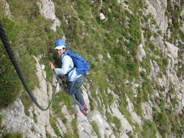
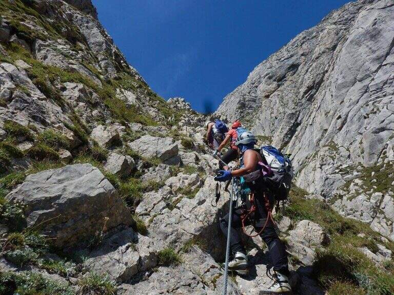
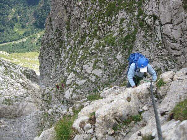
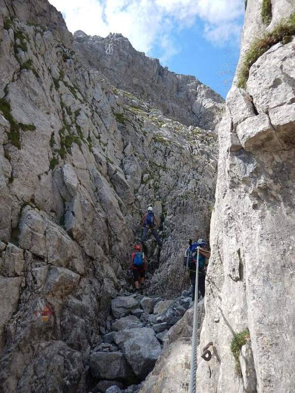
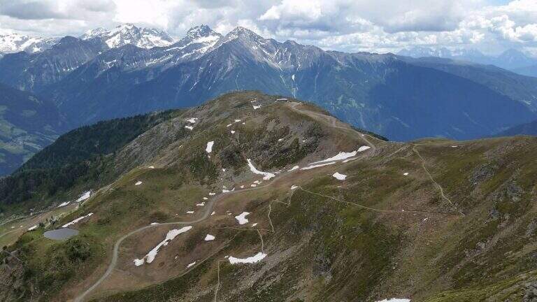
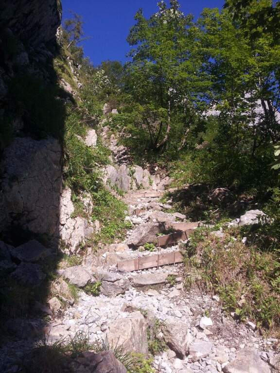
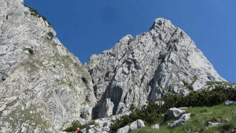
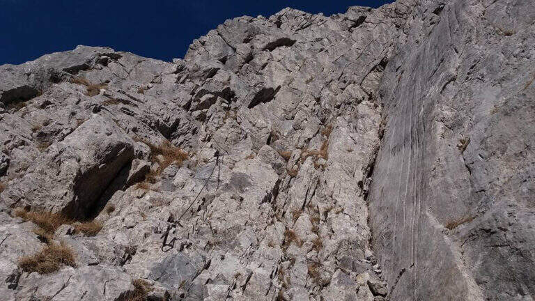
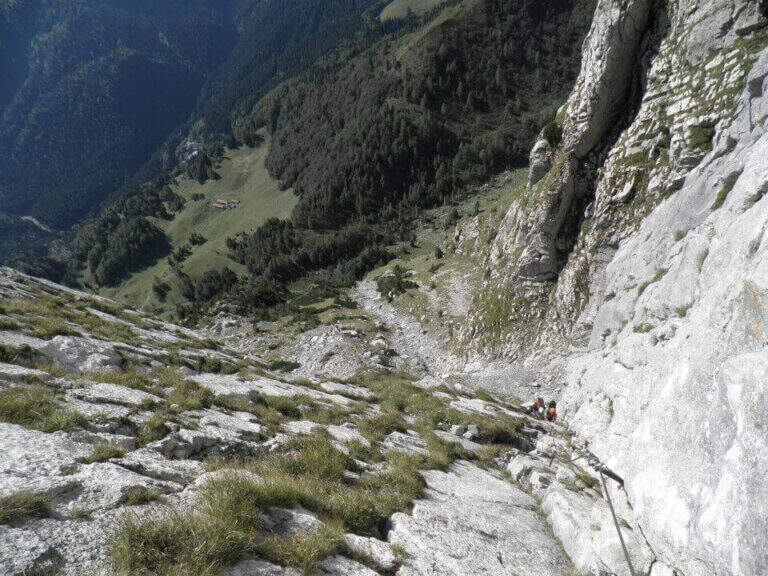
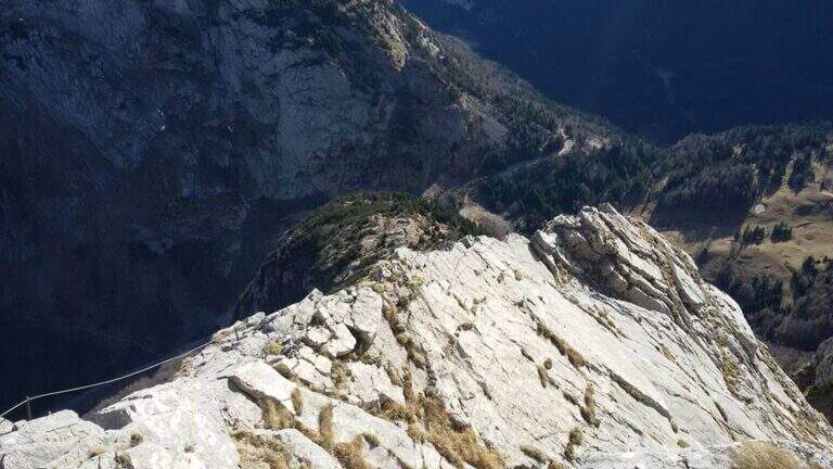
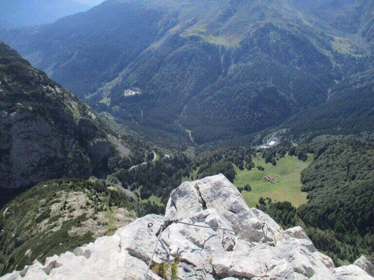
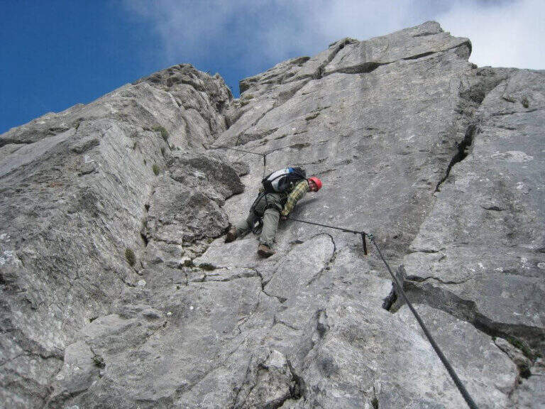
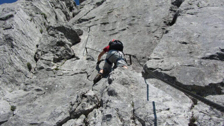
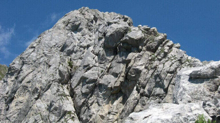
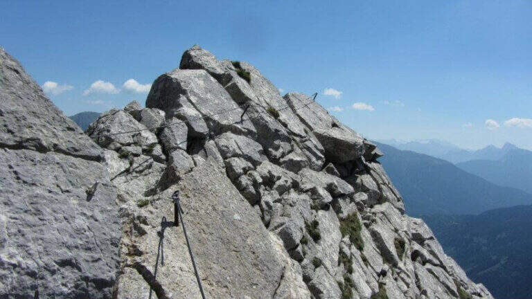
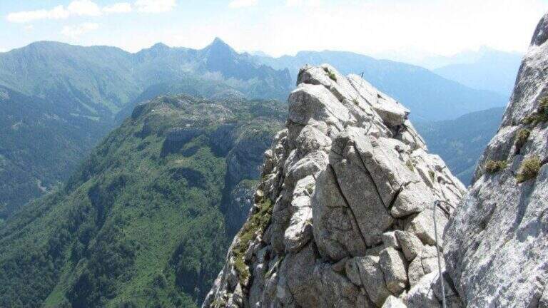
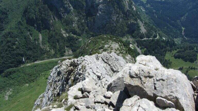
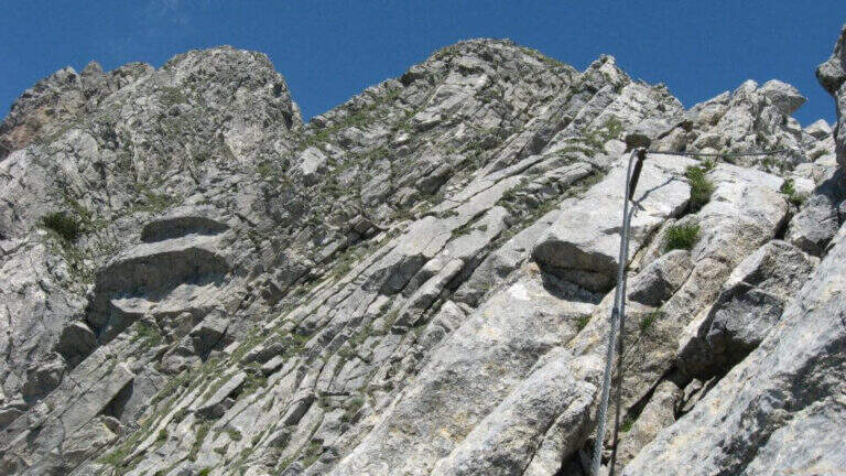
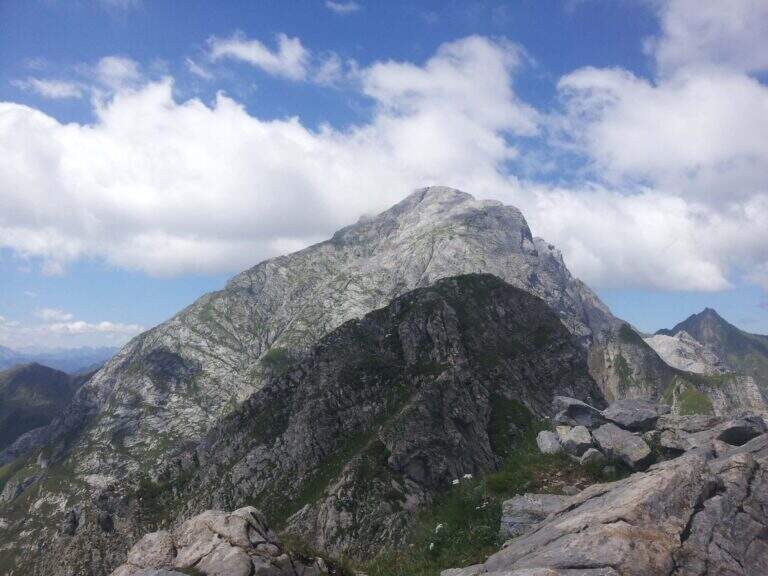
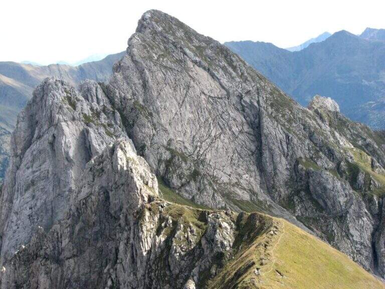
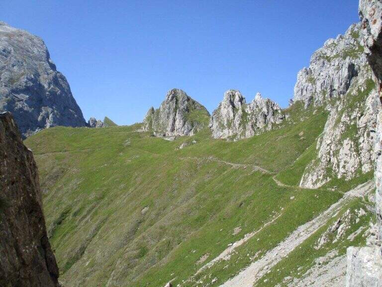
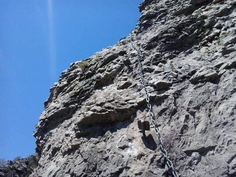
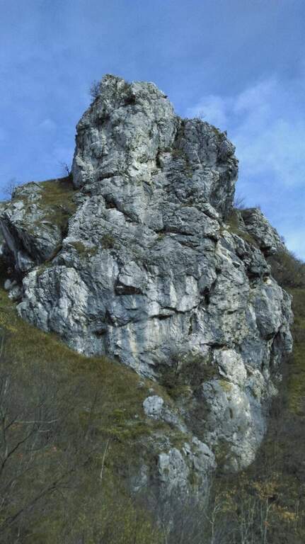
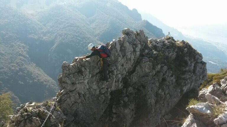
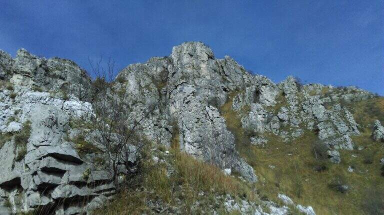
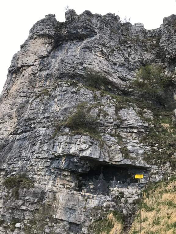
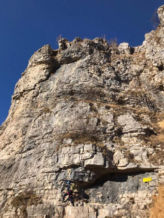
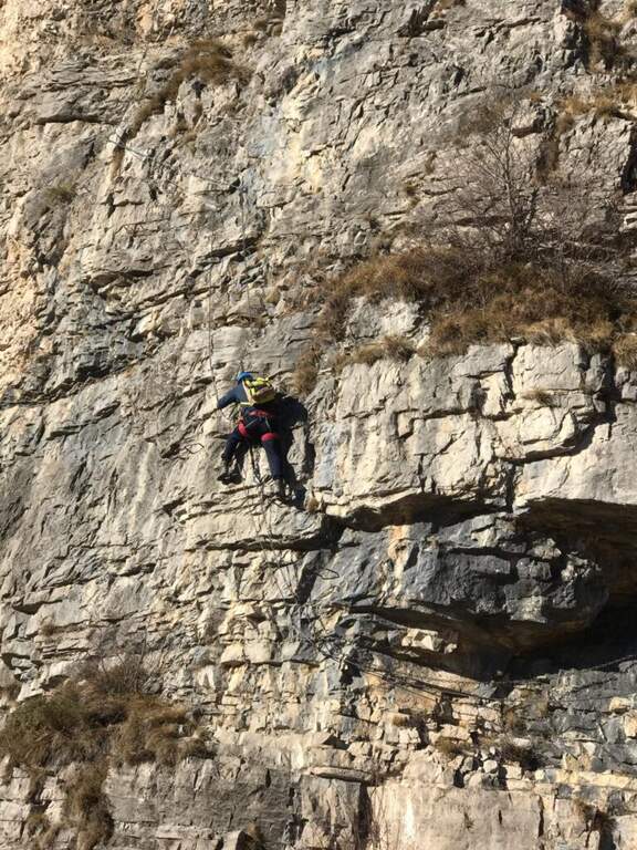
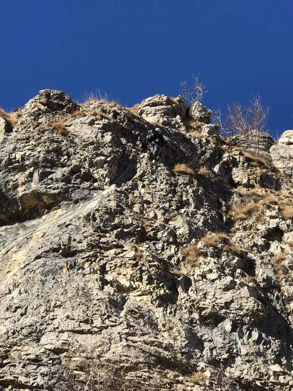
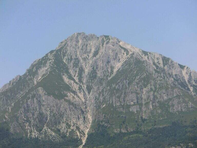
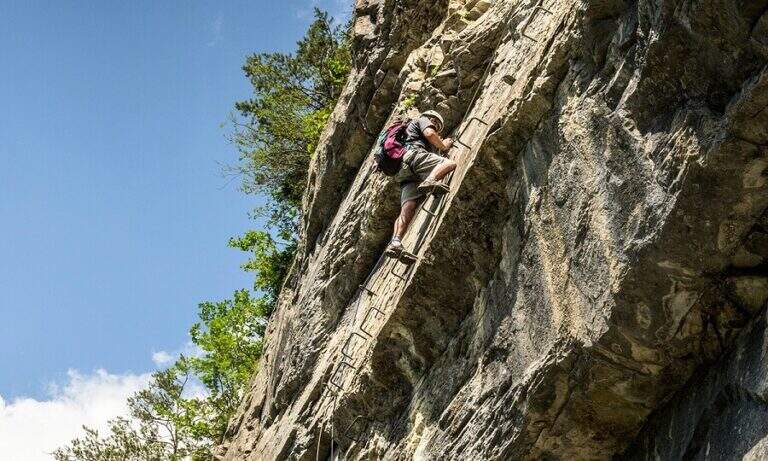
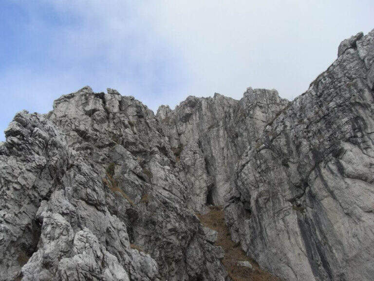
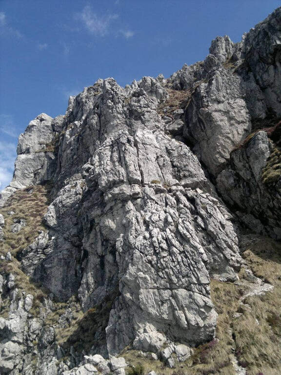
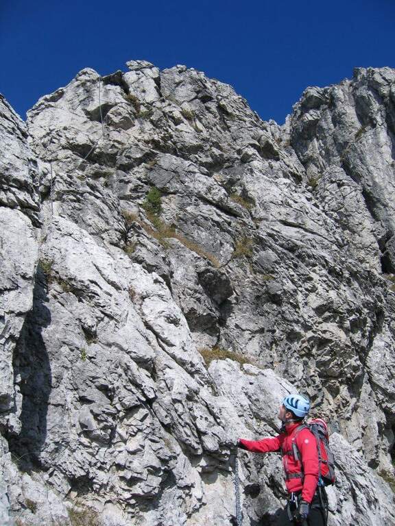
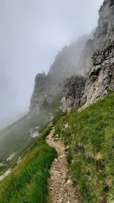
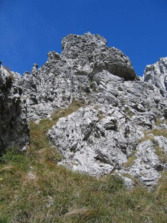
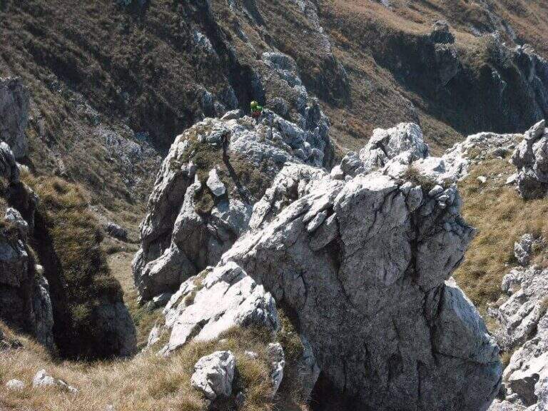
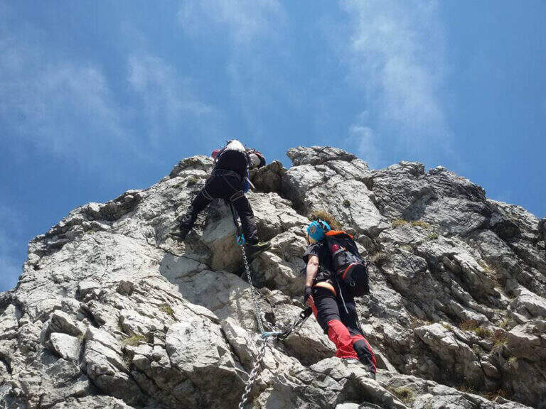
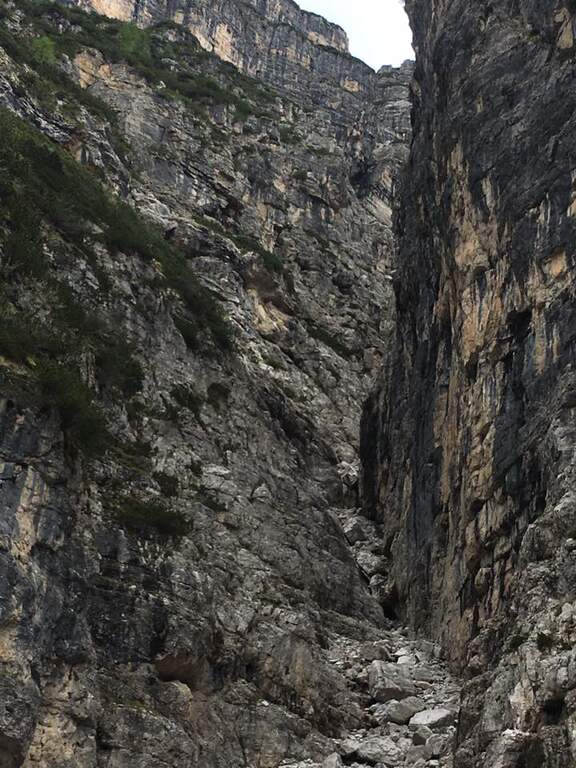
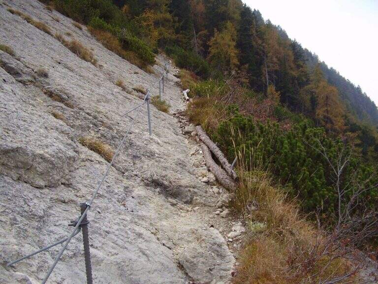
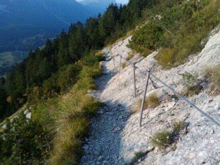
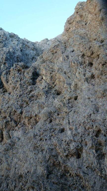
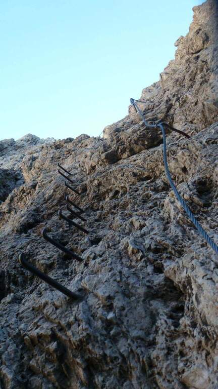
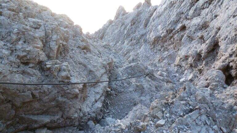
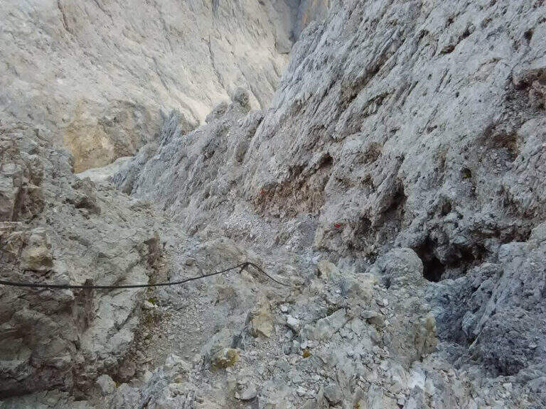
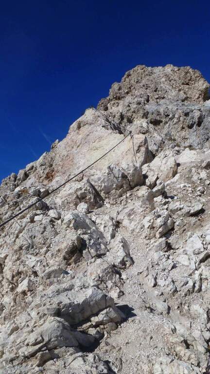
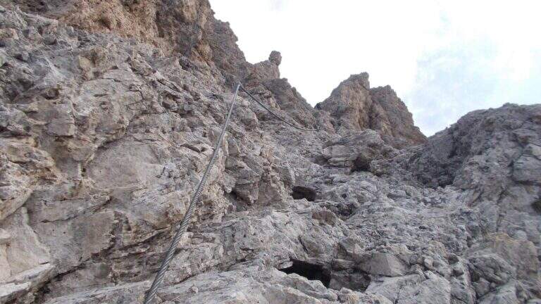
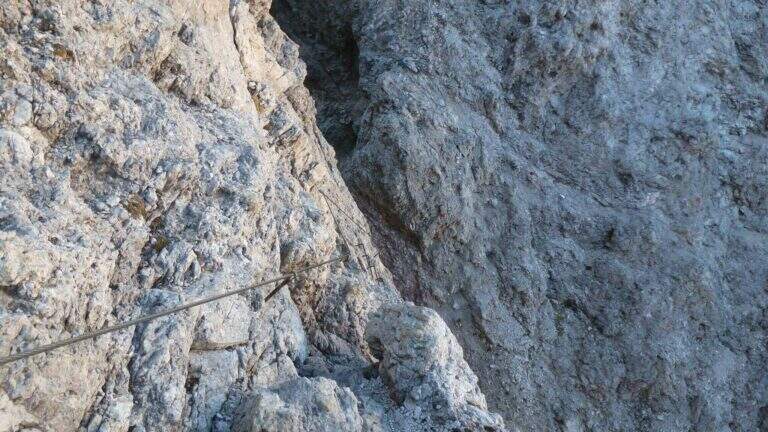
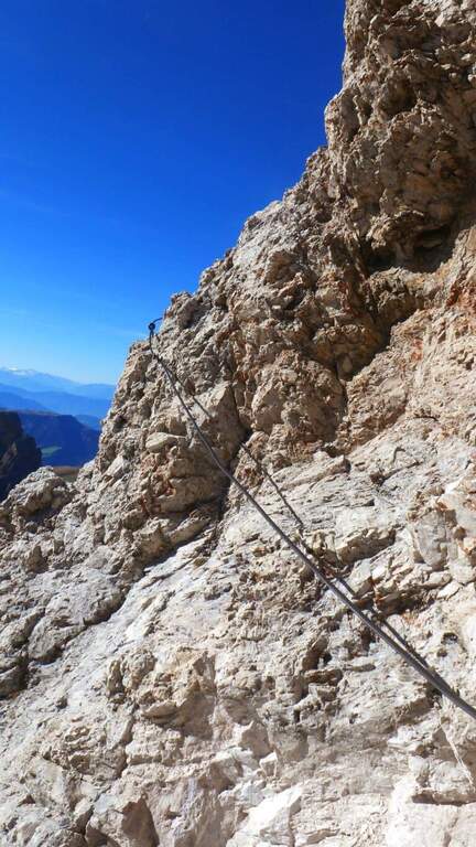
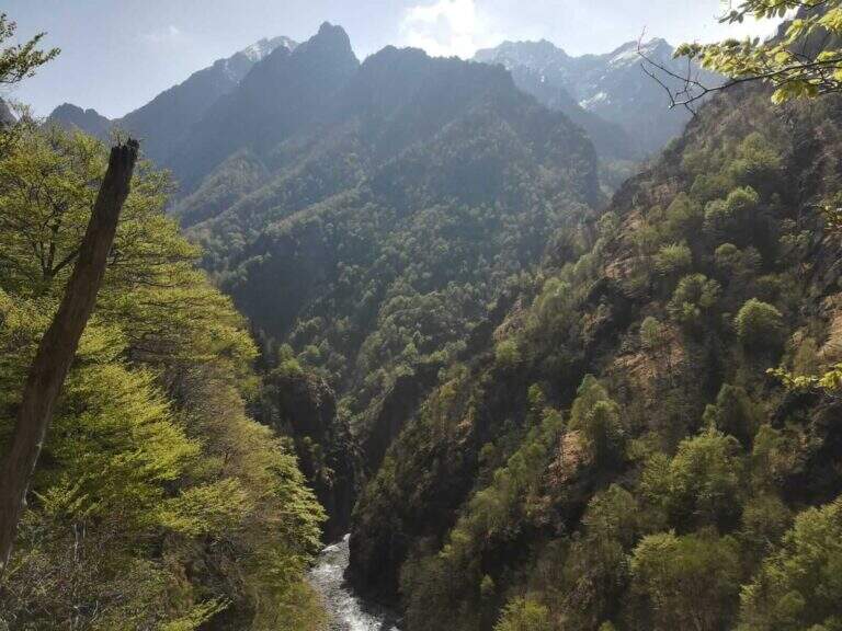
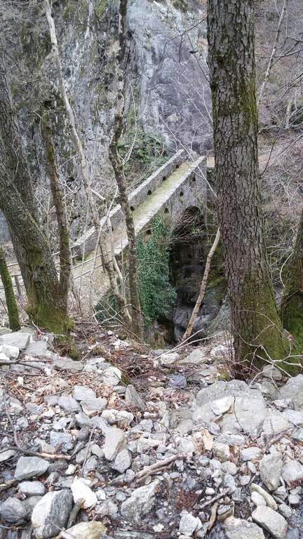
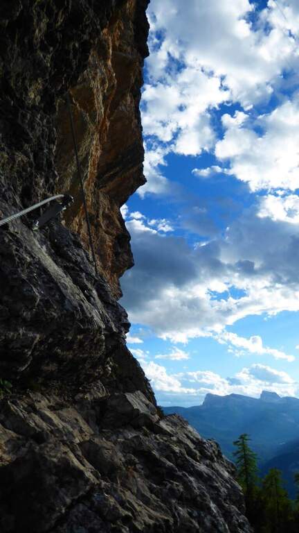
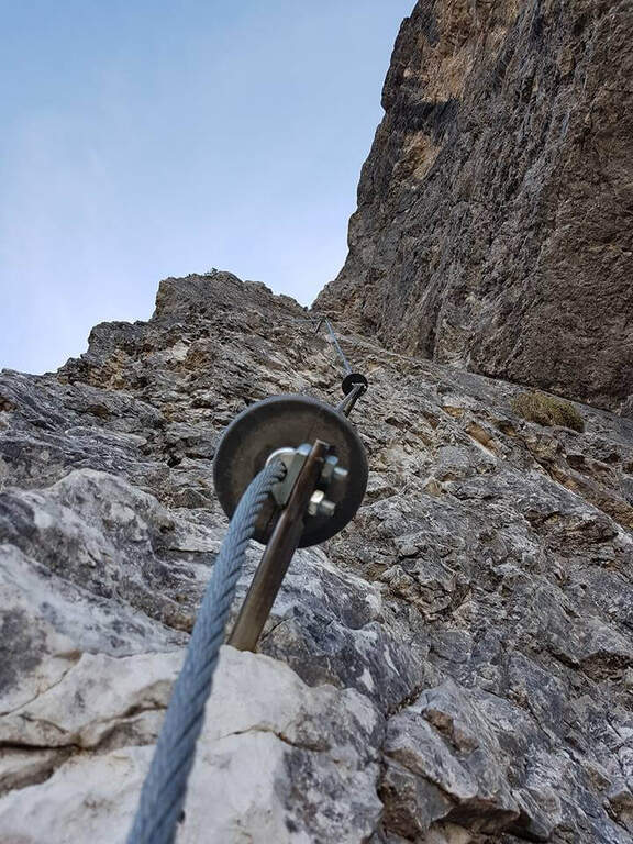
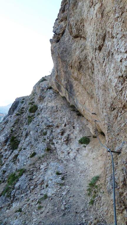
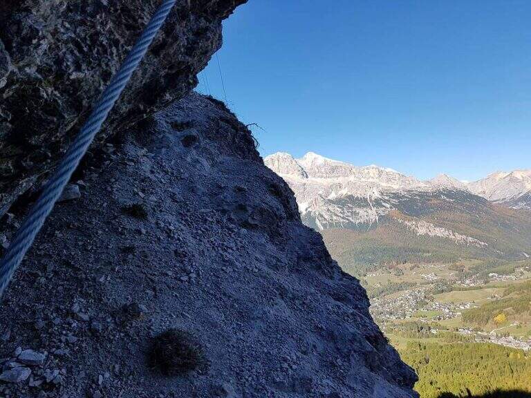
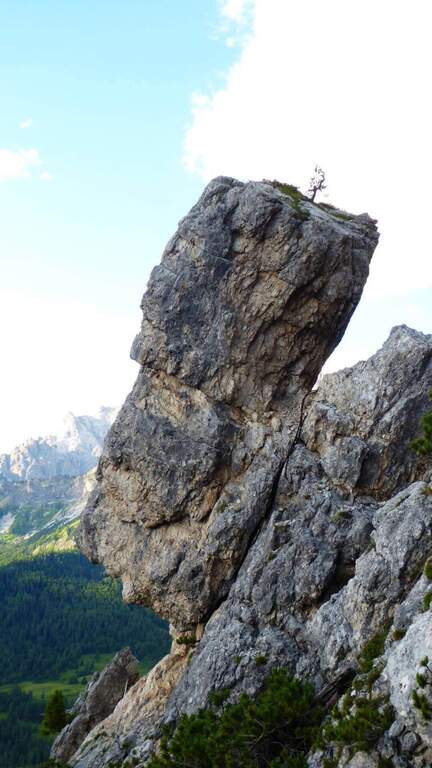
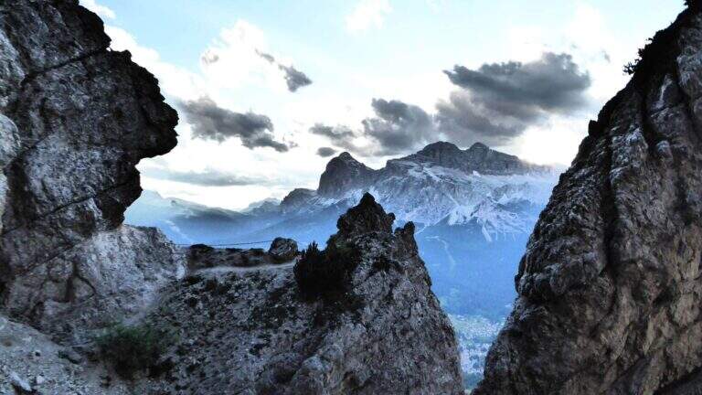
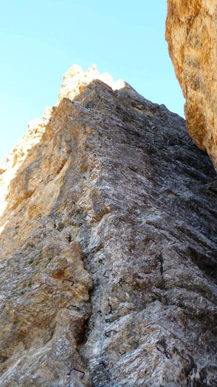
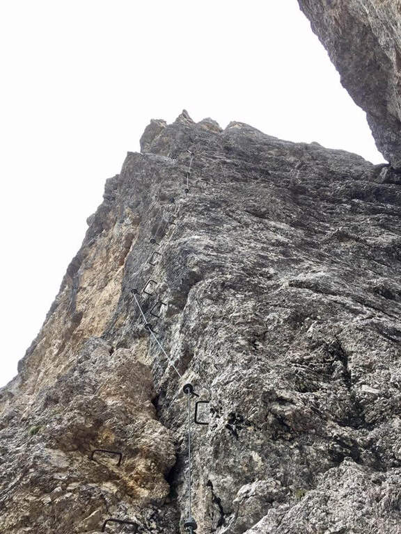
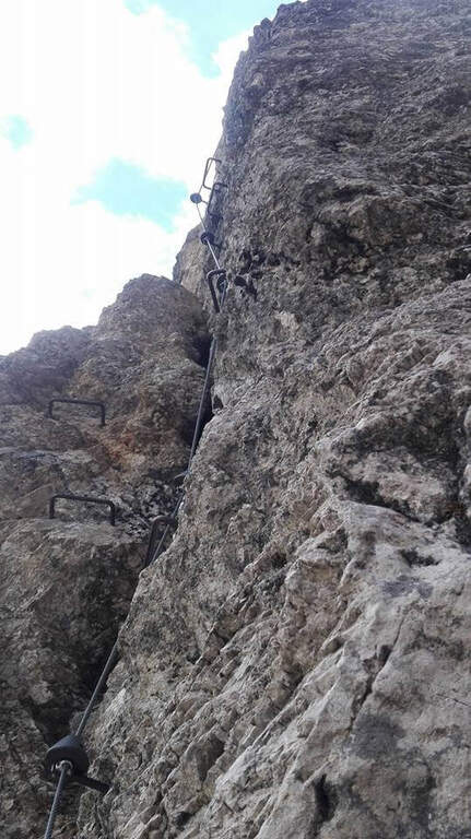
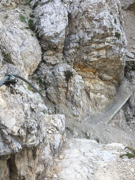
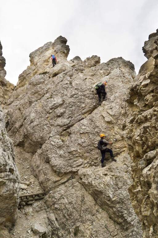
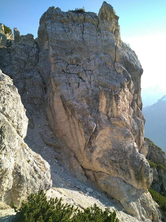
    La Ferrata Steinbergerweg retrace the historic climb on the north-eastern wall of the Crete Collinetta (Cellon), opened during the Great War by an Austrian military expedition led by Major Steinberger. Salt without excessive difficulty; long gorges and colatoi, and è of great historical interest for the numerous testimonies of the fighting. Difficultà medio-bassa in the equipped sections.

    ▲Approach

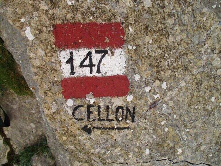
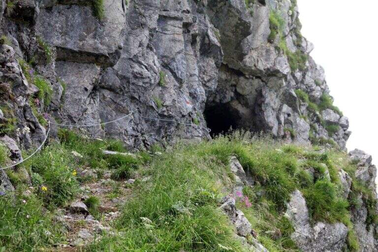
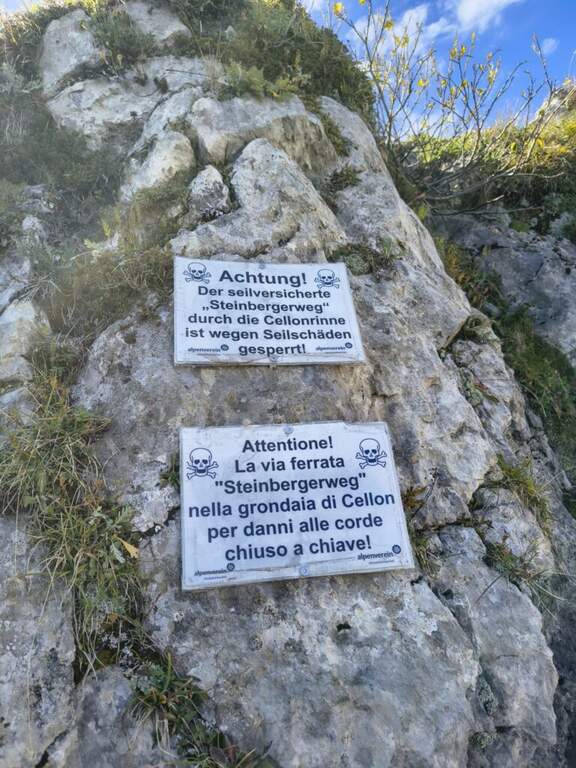
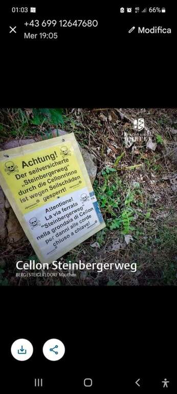
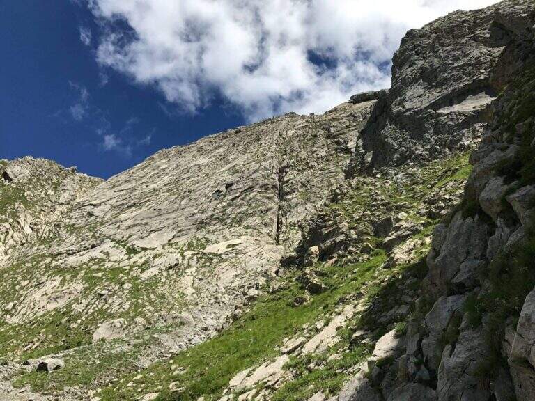
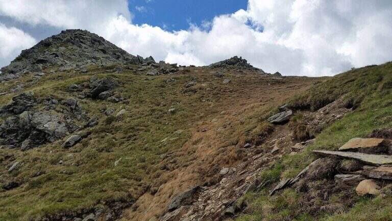
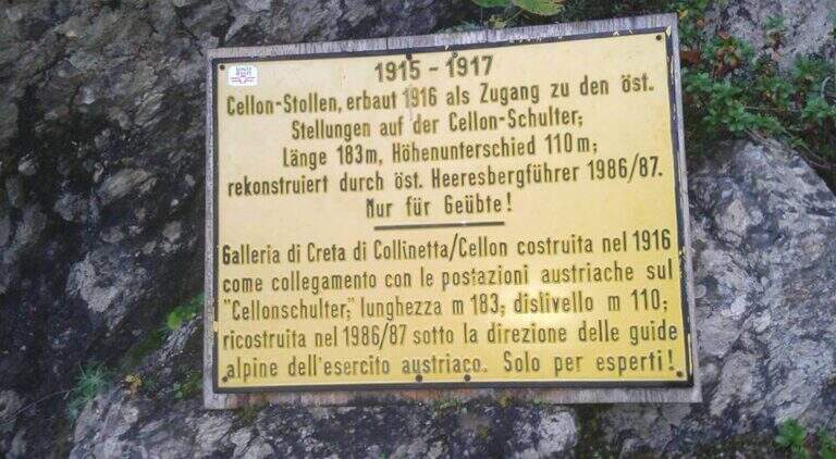
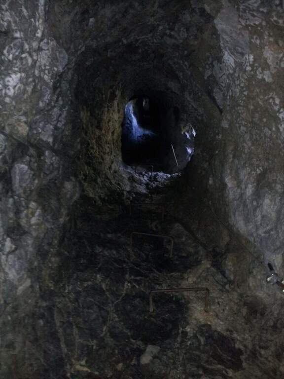
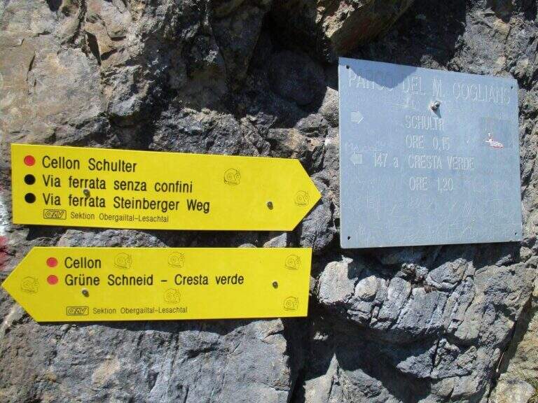
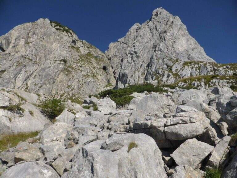
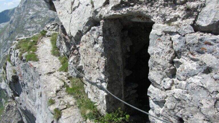
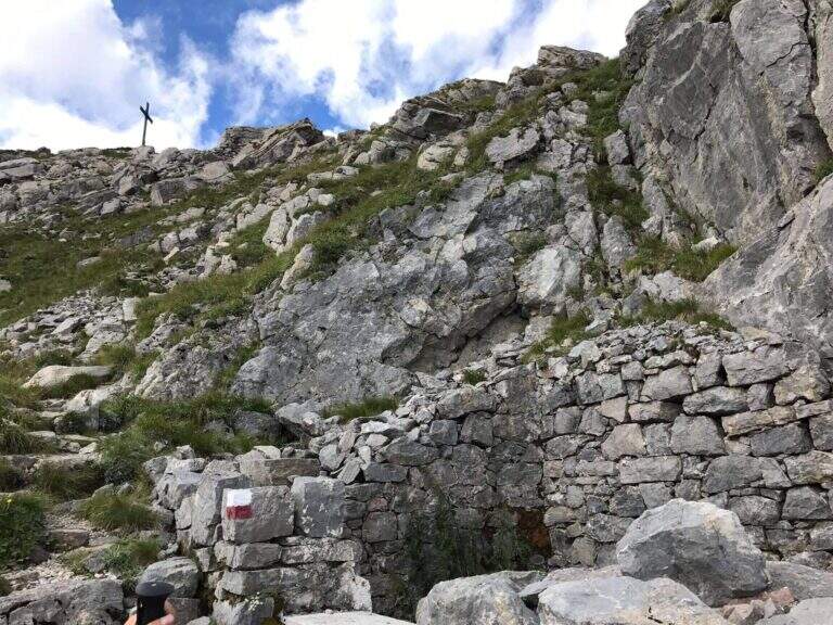
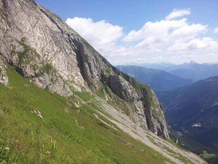
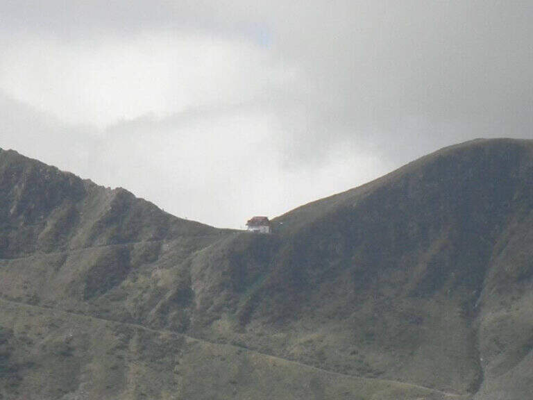
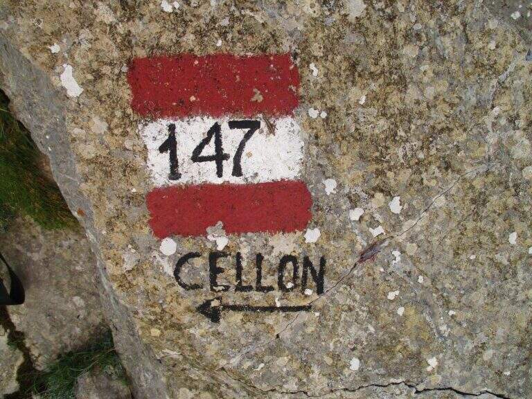
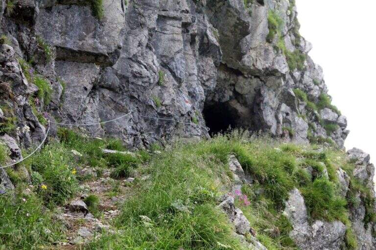
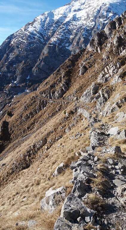
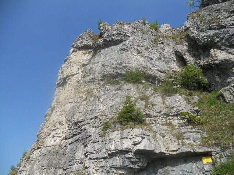
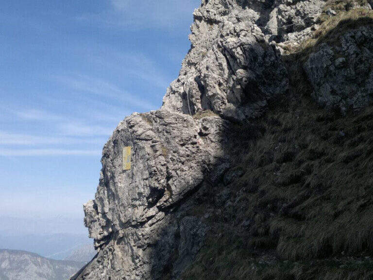
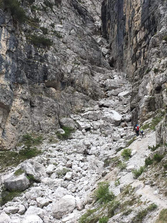
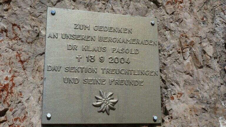
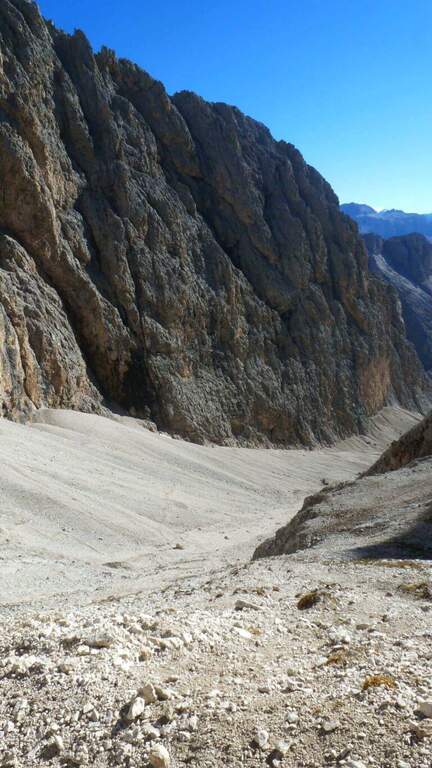
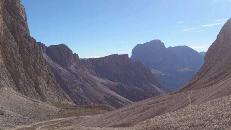
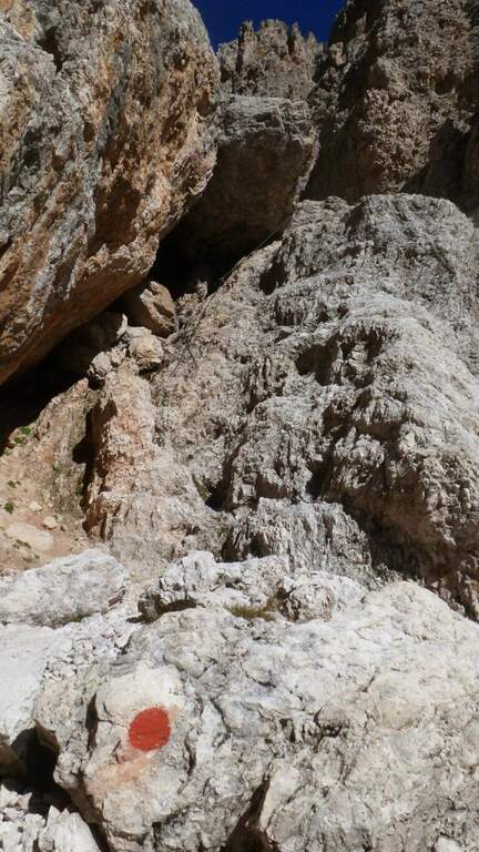
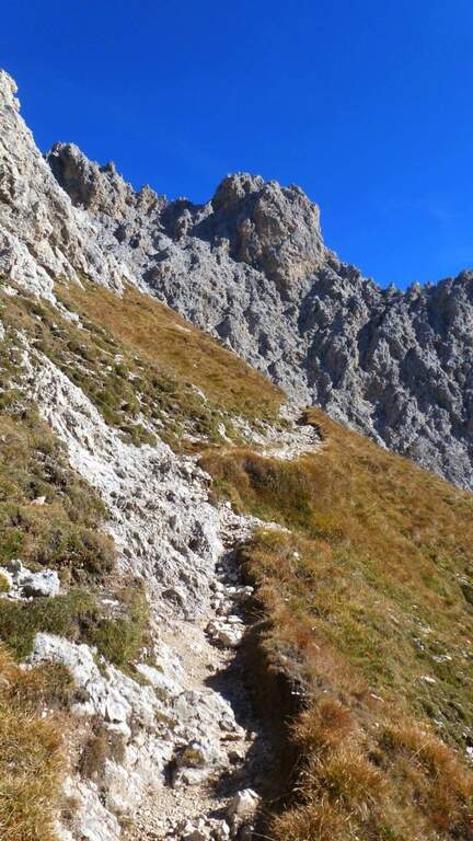
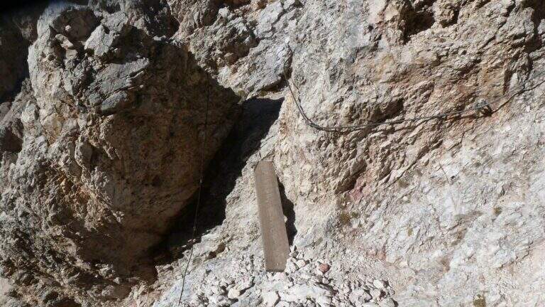
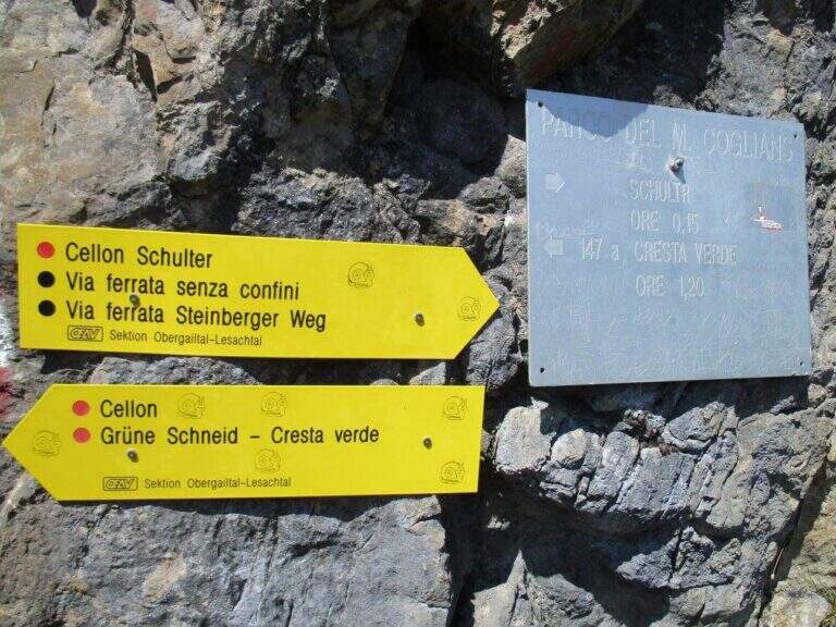
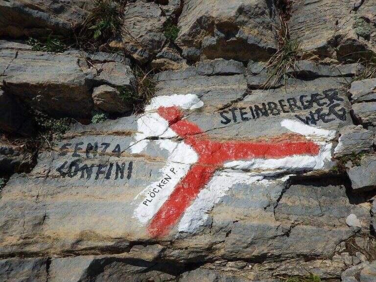
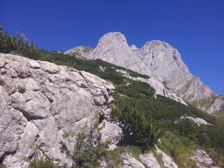
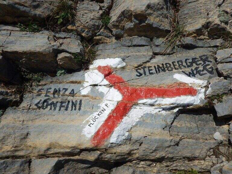
    Starting point the Passo di Monte Croce Carnico (1360 m), on the Italian-Austria border, reachable in about 40' from Tolmezzo (Udine) to the SS 52b. Open road signs on Google Maps. You can climb from the Austrian side (with the option of crossing the Cellon war tunnel, described in the sheet of the Ferrata Senza Confini) or from the Italian one, described here: longer but less challenging. From the parking lot follow the signs 146 on comfortable mule track on the southern side of the ridge, until you cross the path 147 for the Cellon (from the Marinelli Refuge); taken on 147 to the right you climb più decided along a war mule track with exposed cenges and short tunnels until the Schulter Contrafforte (1736 m). Continue on rocks and mug, paying attention not to lose the track, until a crossroads marked on rock (left the Senza Confini, right the Steinbergerweg): holding the right, on the gravel and then cutting in altitude the north-eastern wall, you reach l' attack, with a marble plate in German (1870 m, 1h 30' from the parking ).

    ▲The path

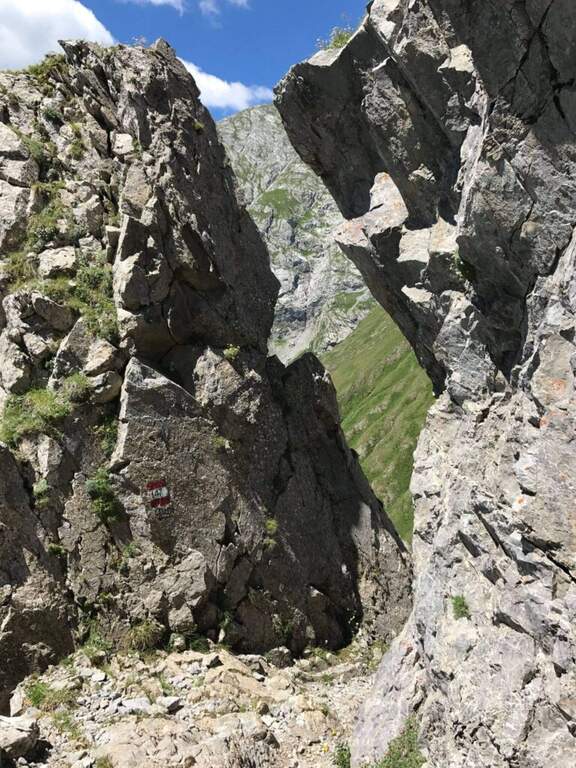
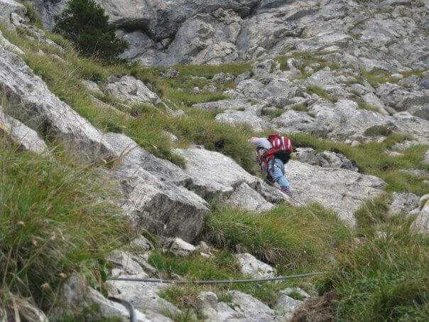
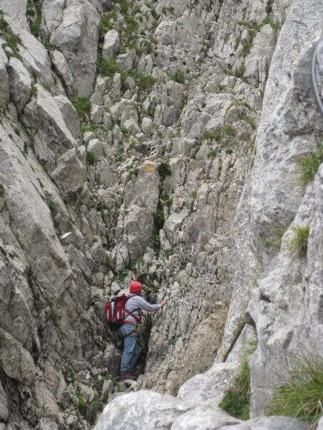
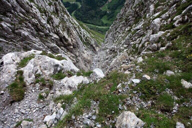
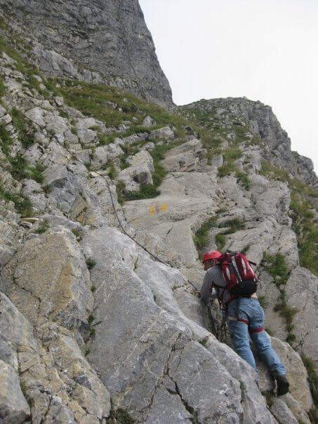
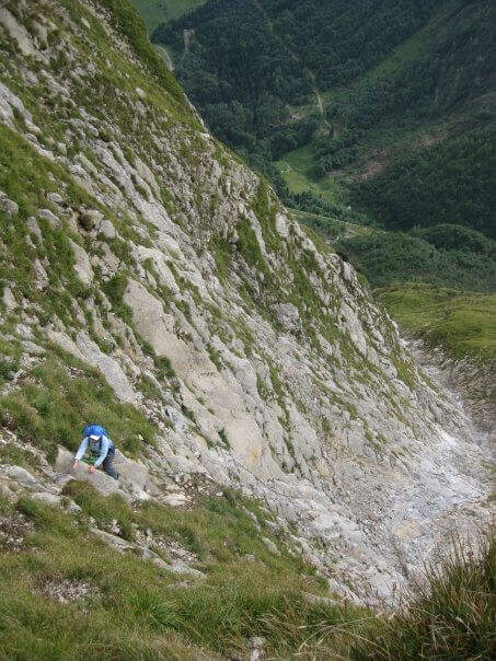
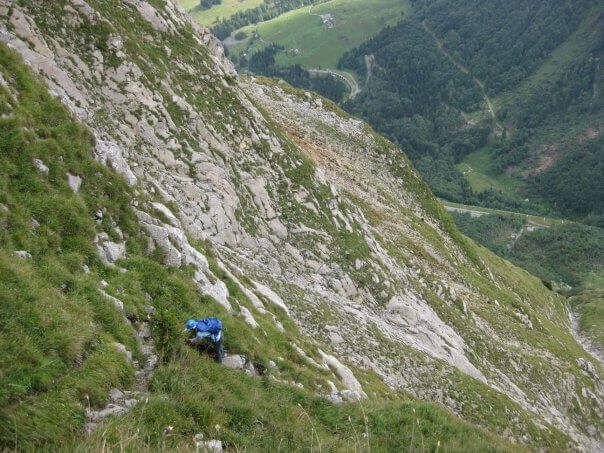
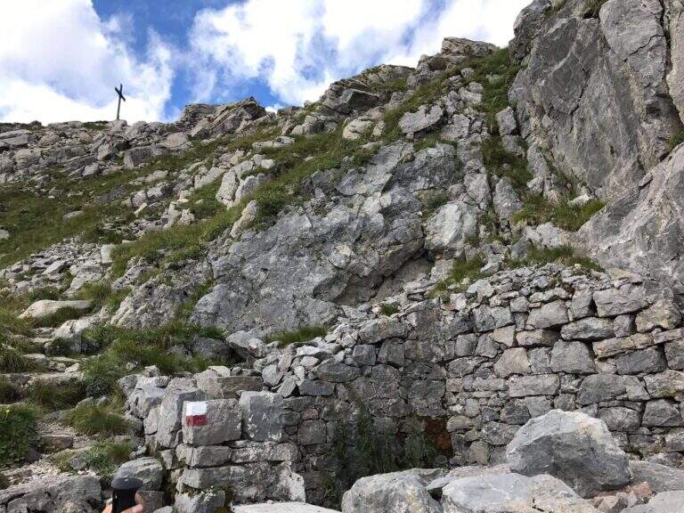
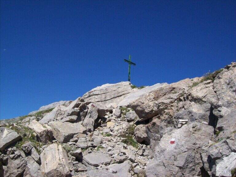
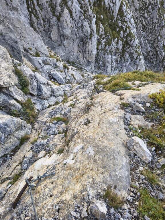
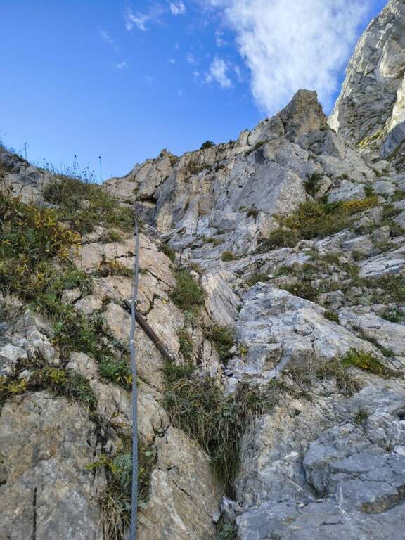
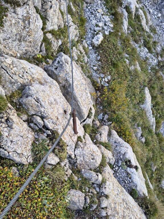
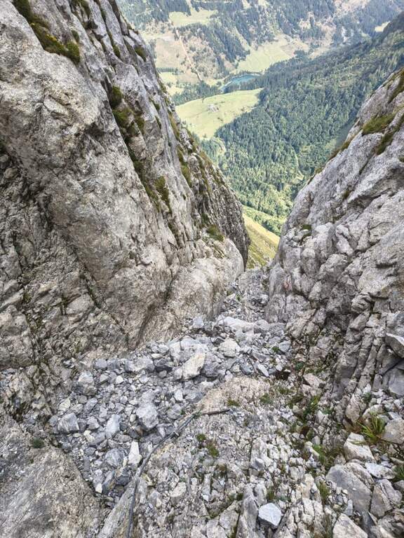
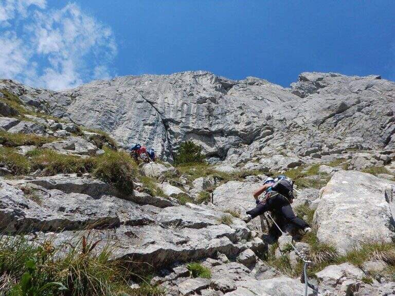
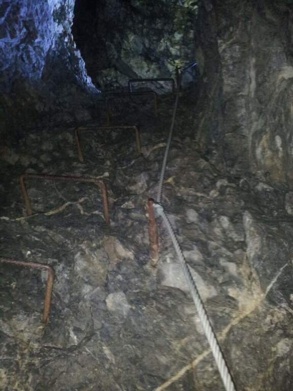
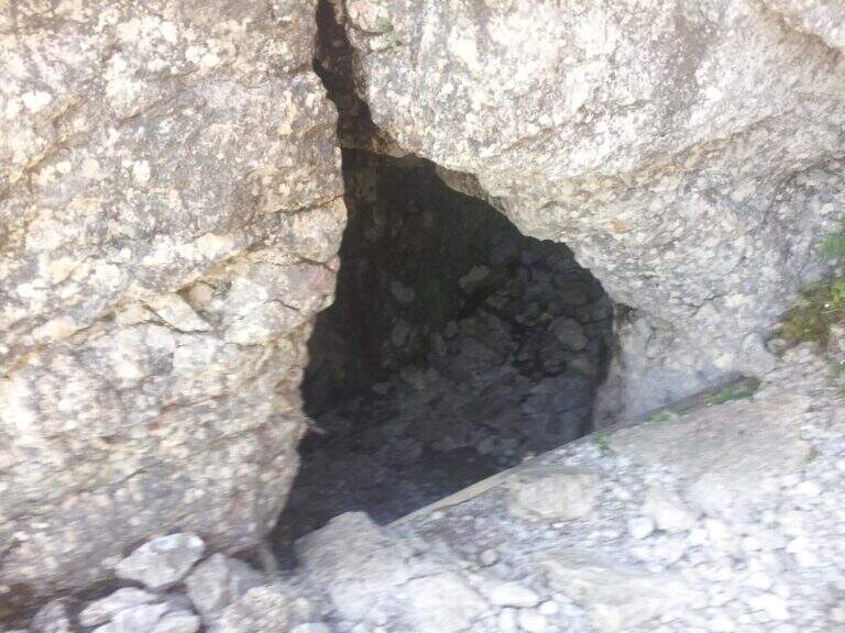
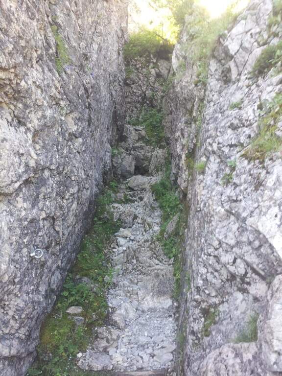
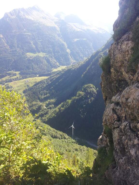
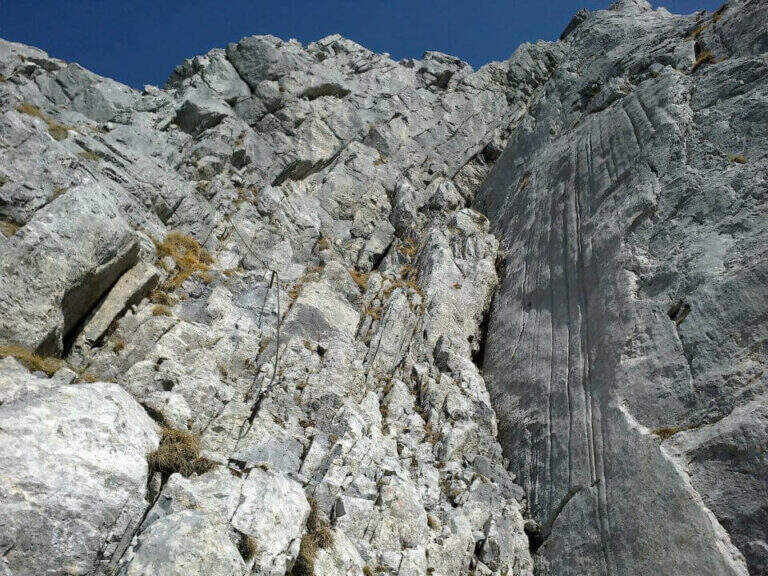
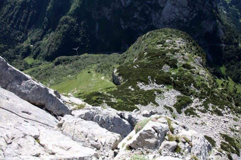
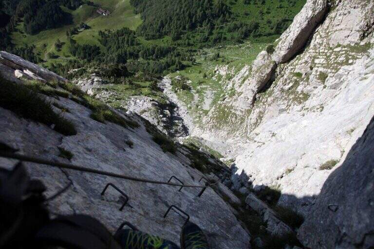
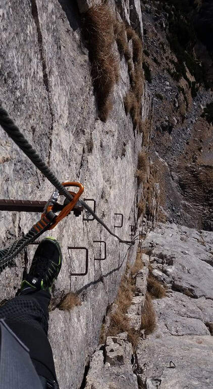
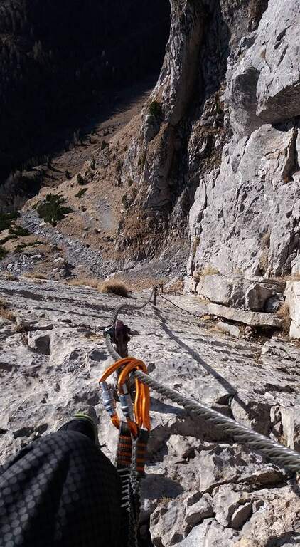
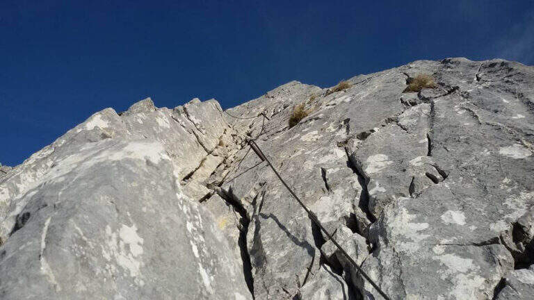
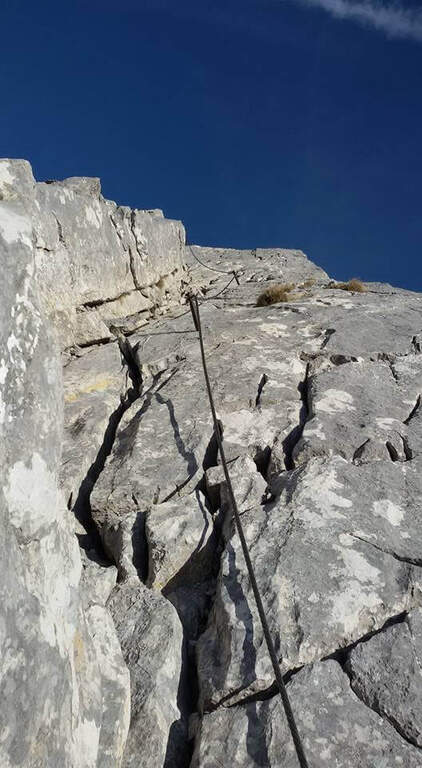
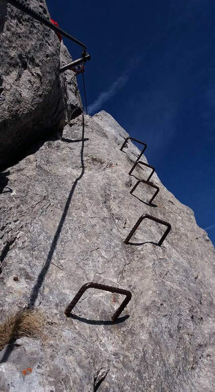
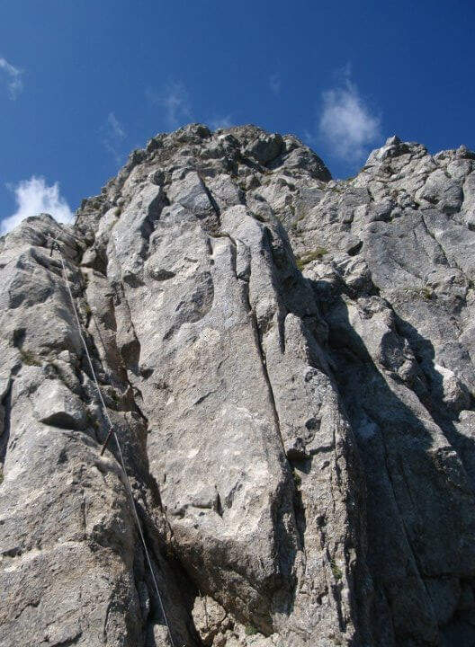
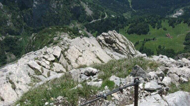
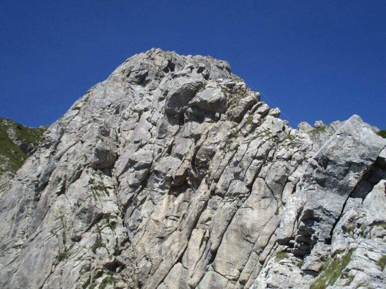
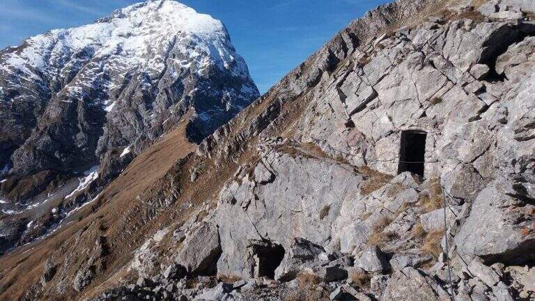
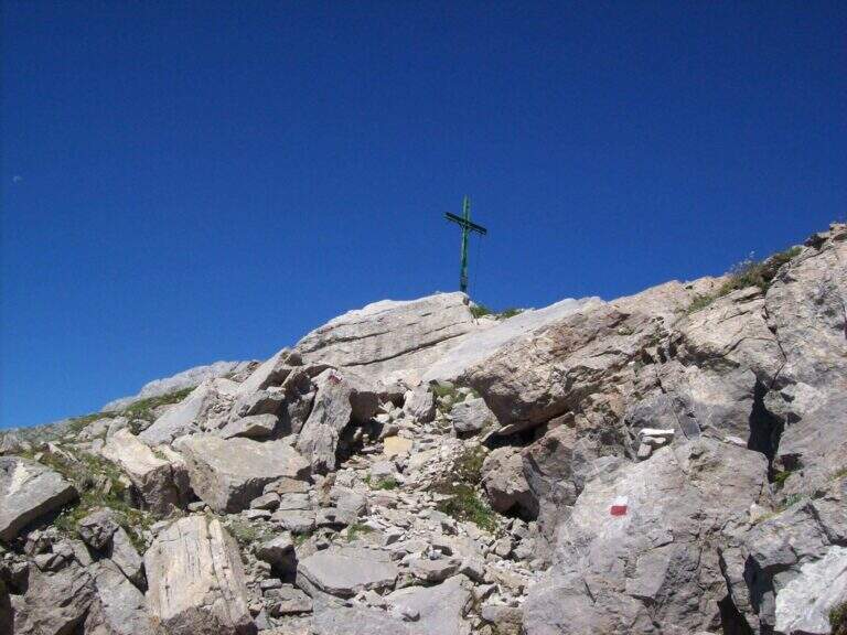
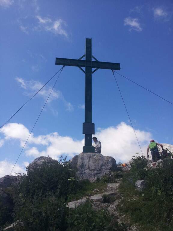
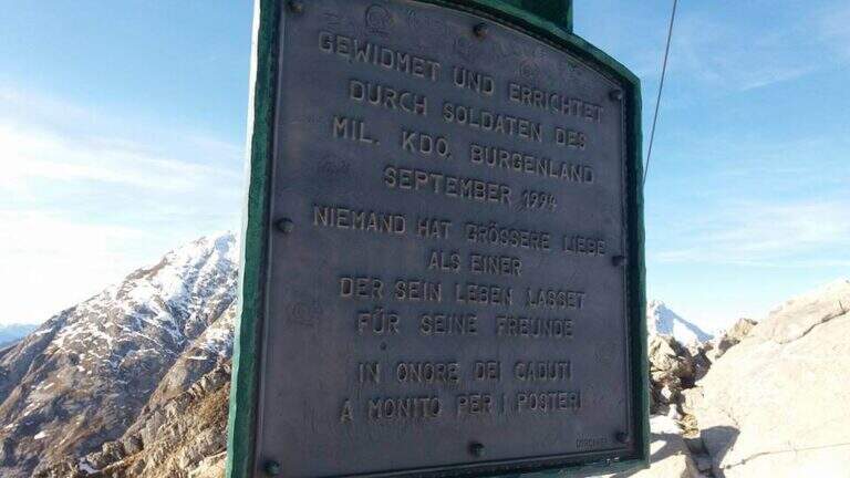
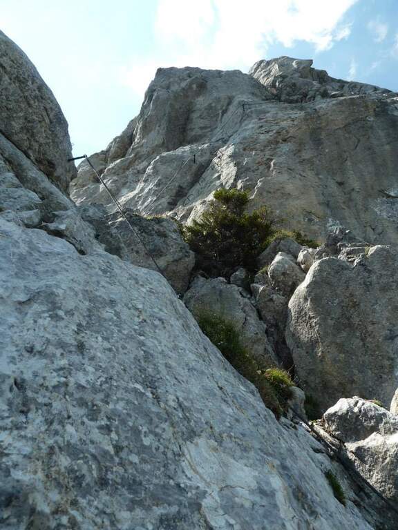
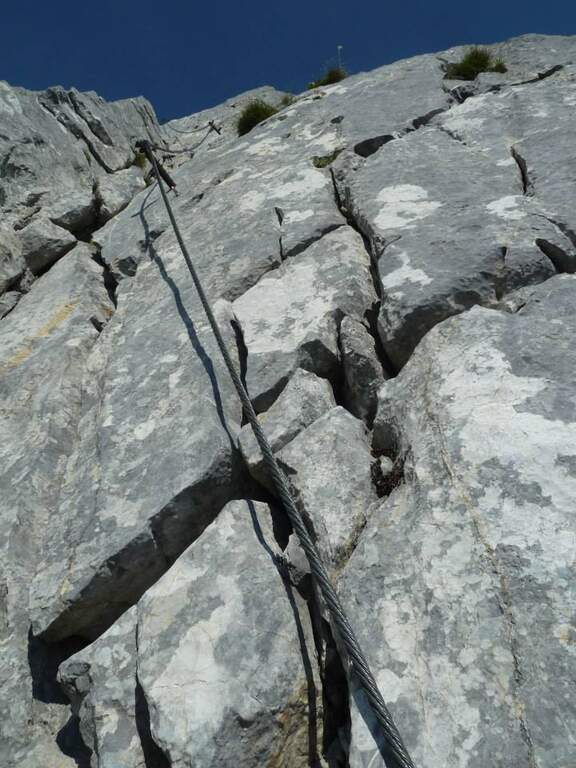
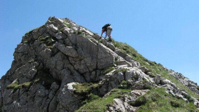
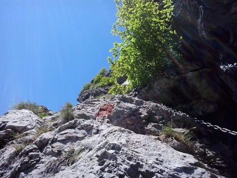
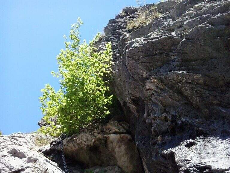
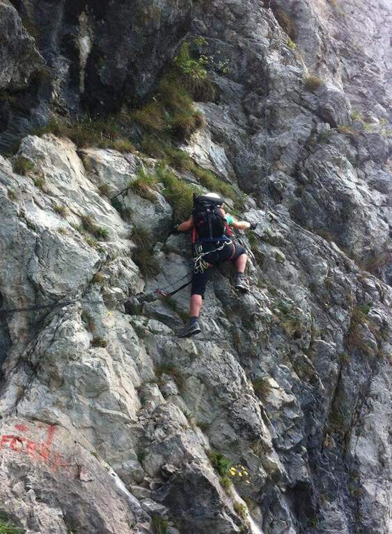
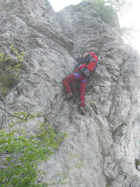
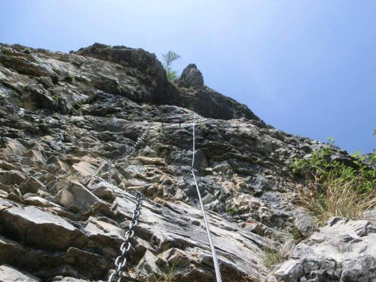
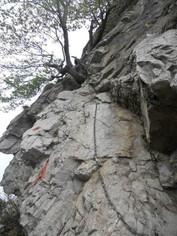
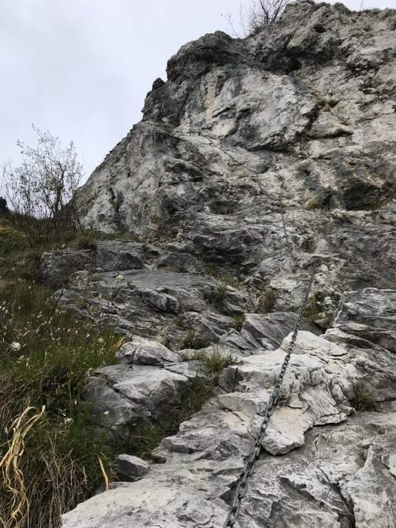
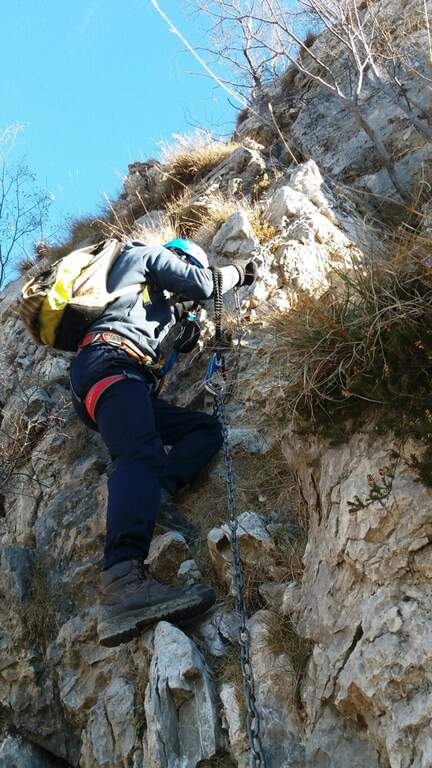
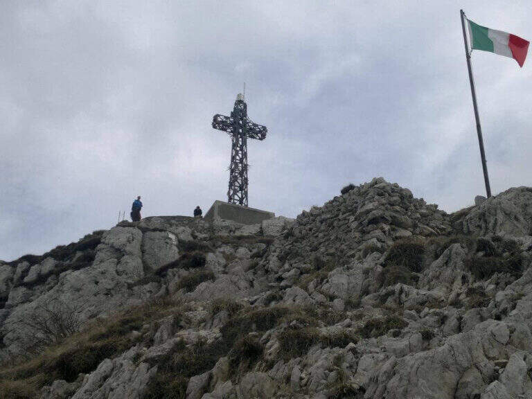
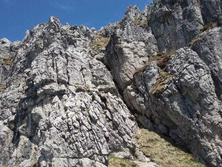
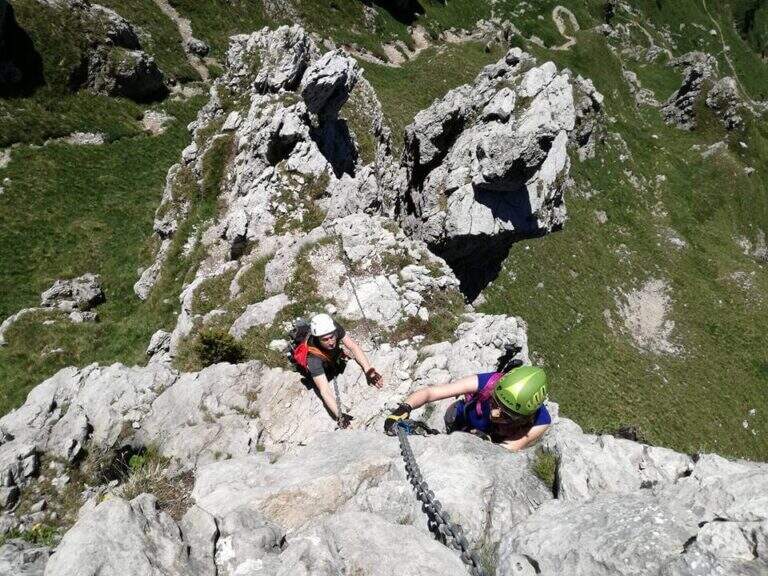
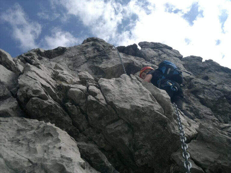
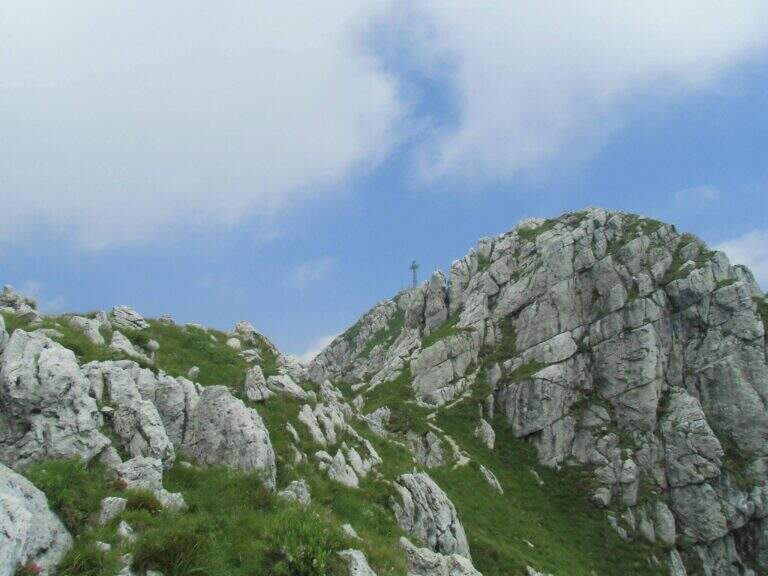
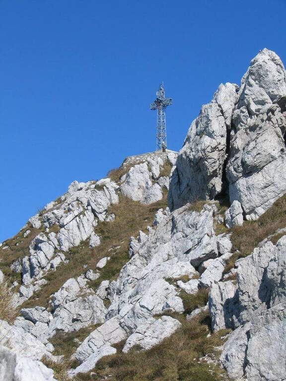
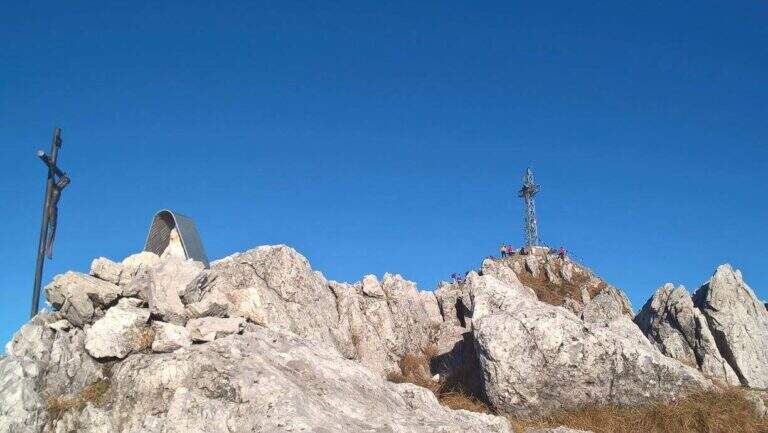
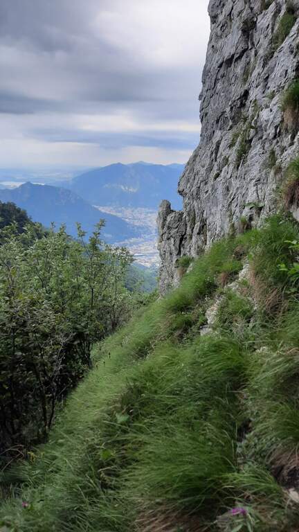
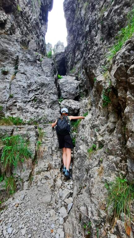
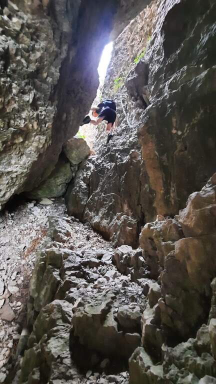
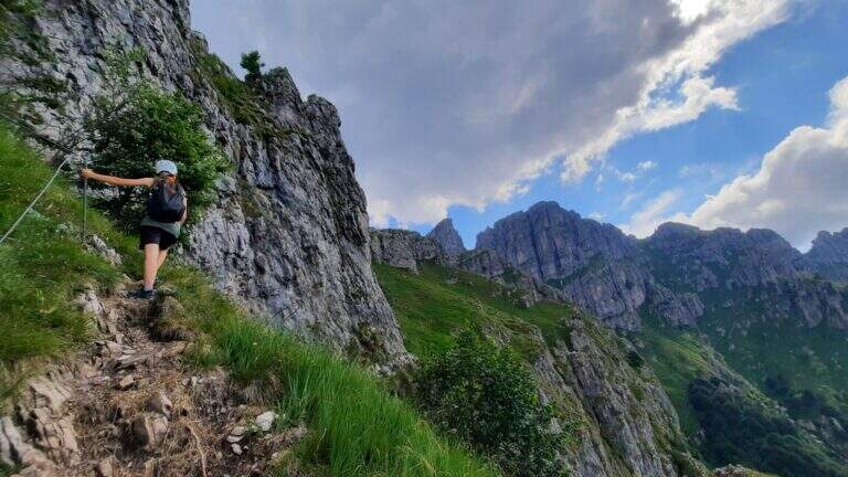
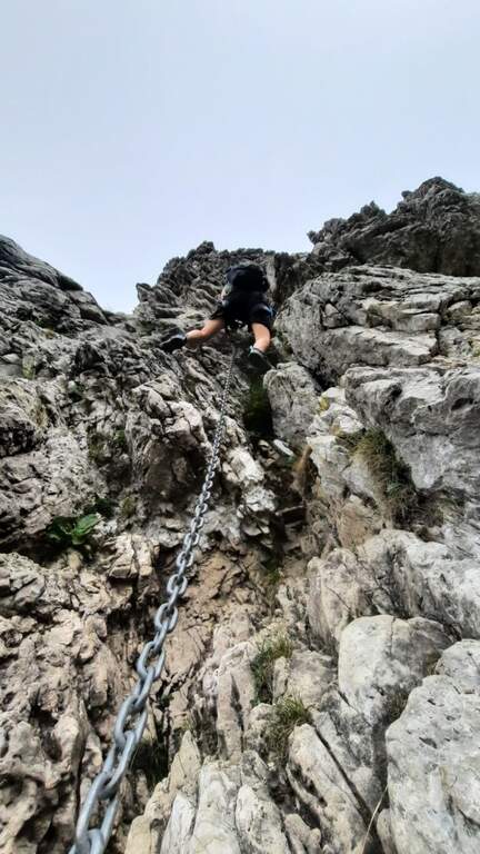
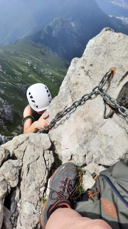
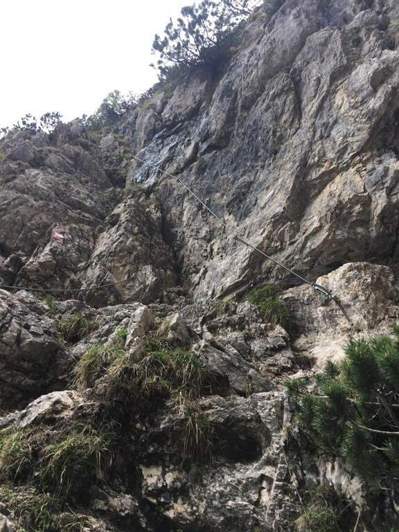
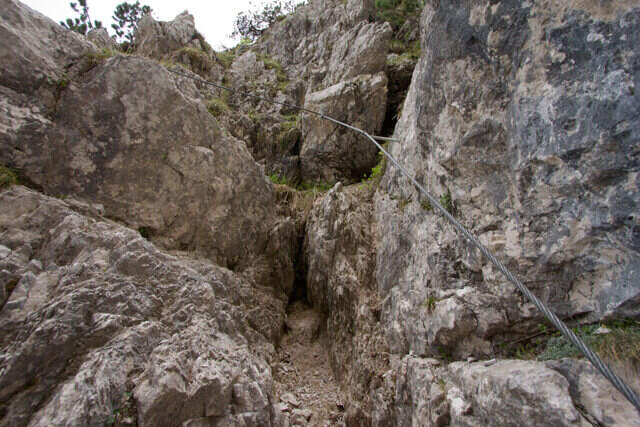
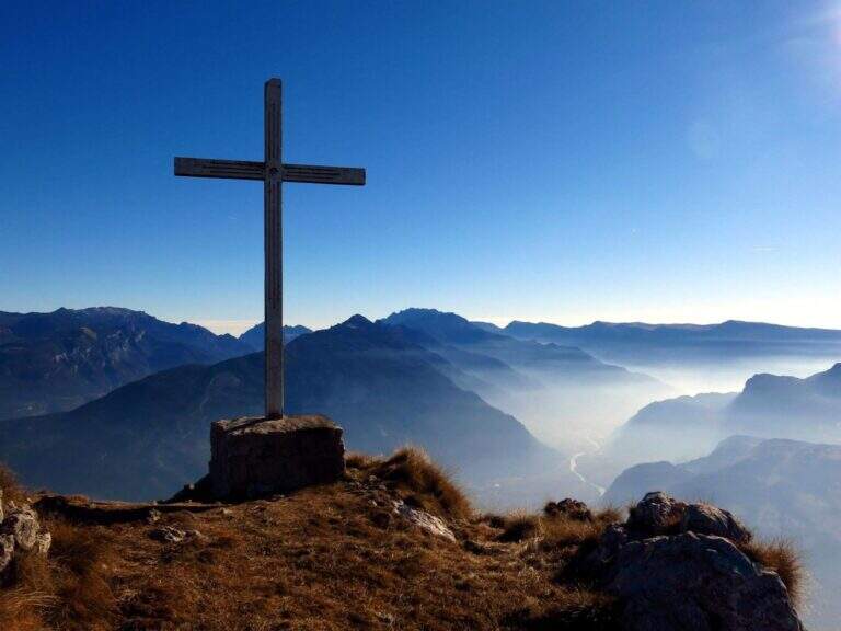
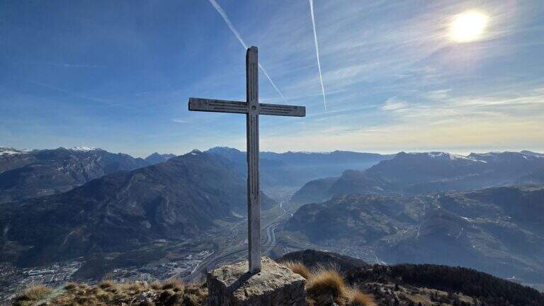
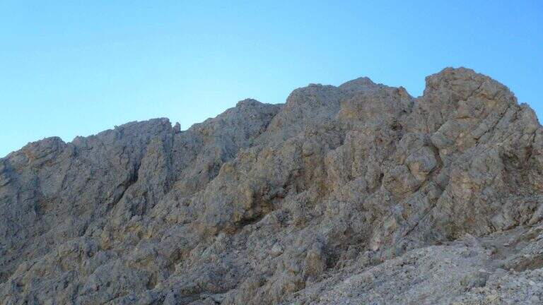
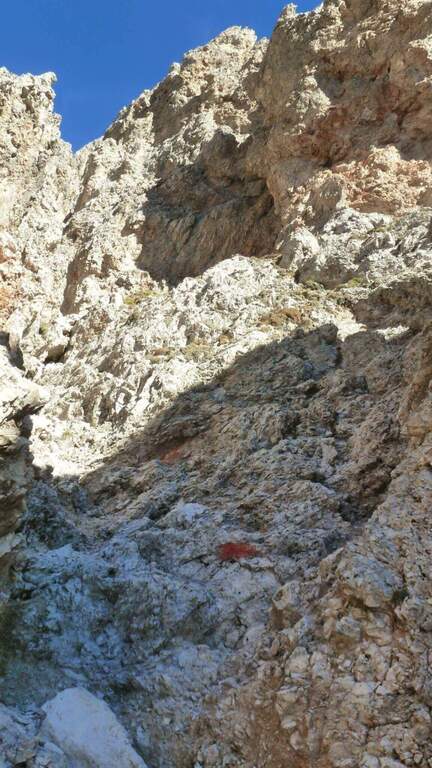
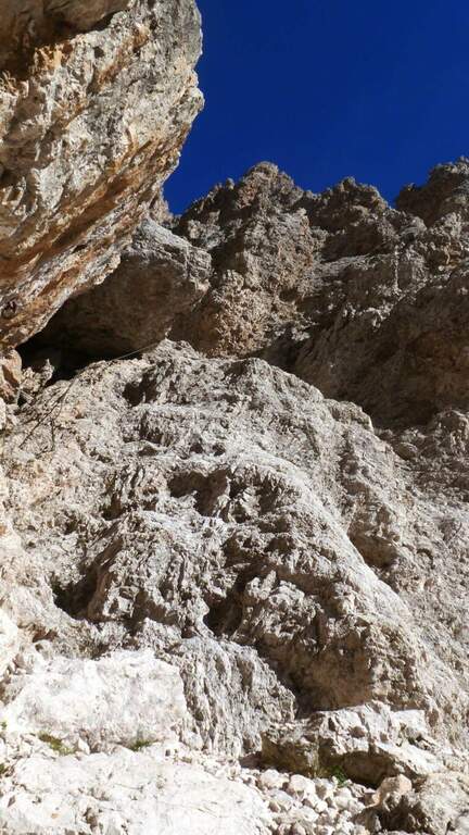
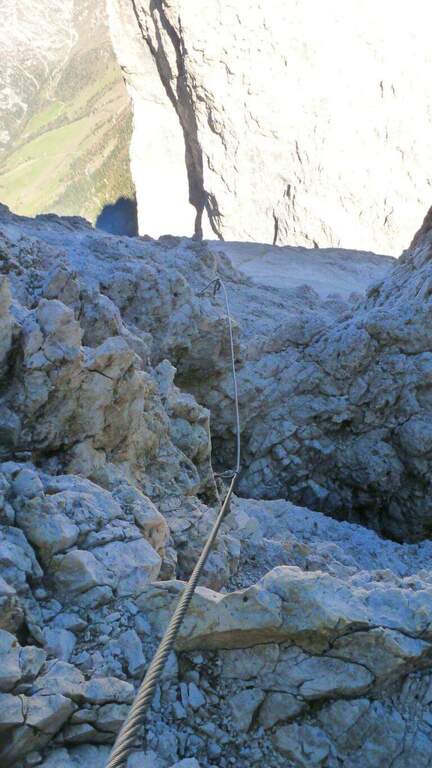
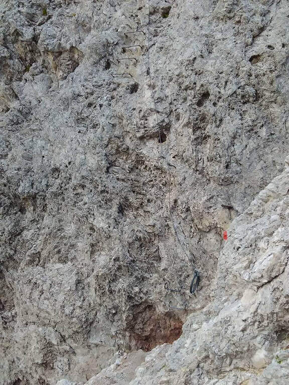
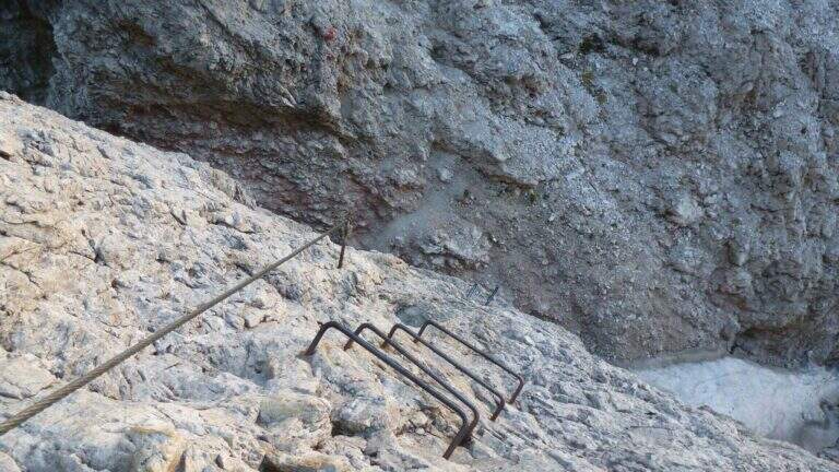
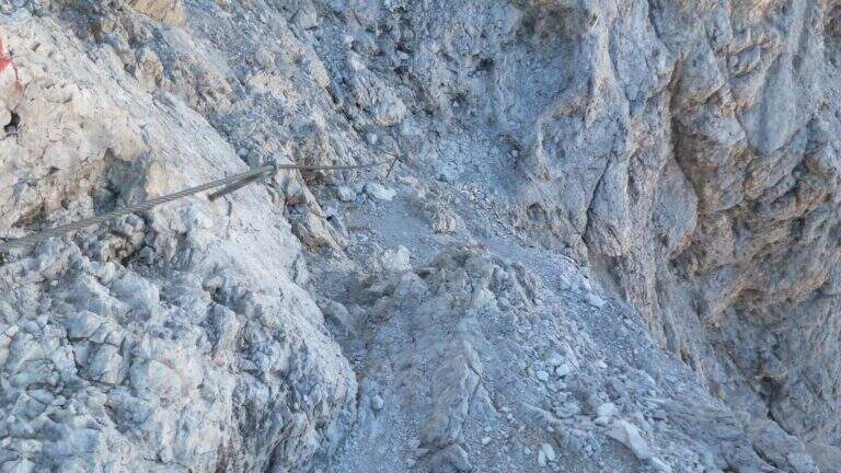
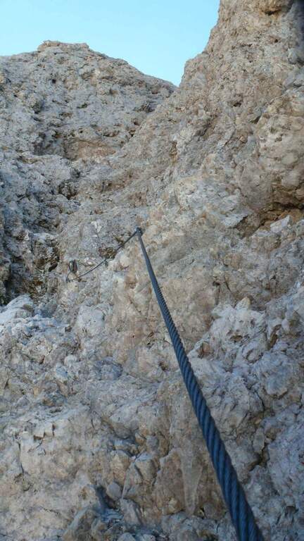
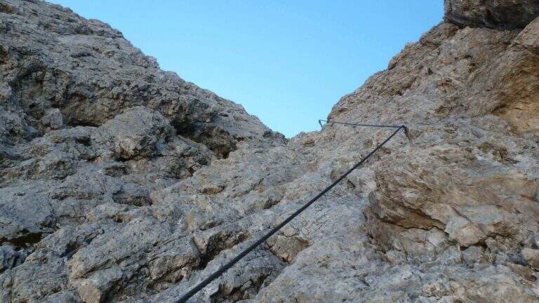
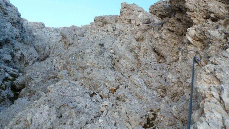
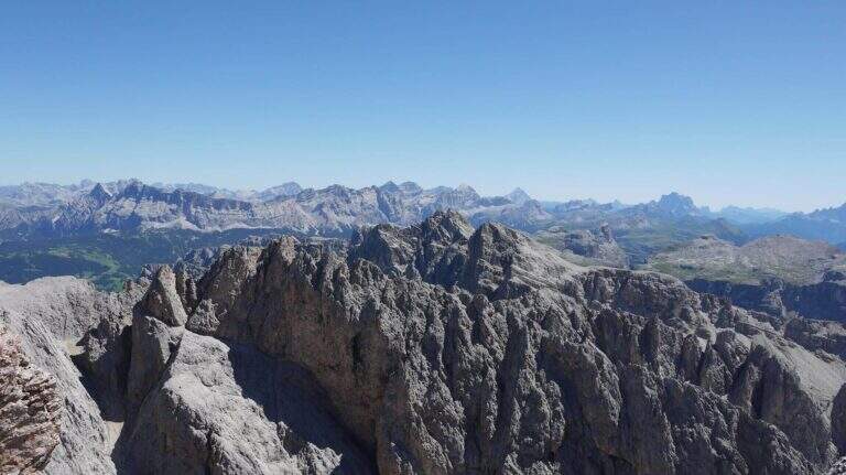
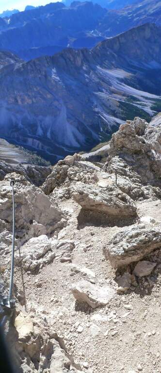
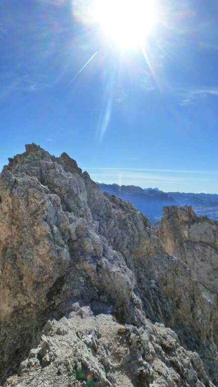
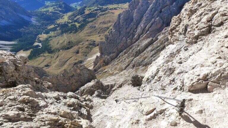
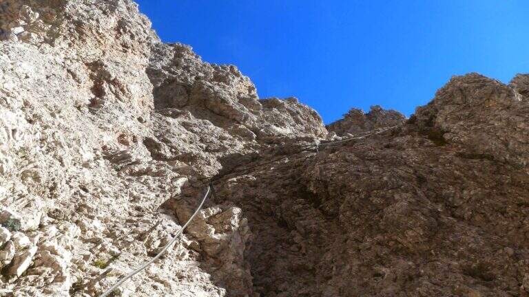
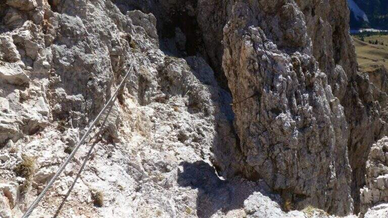
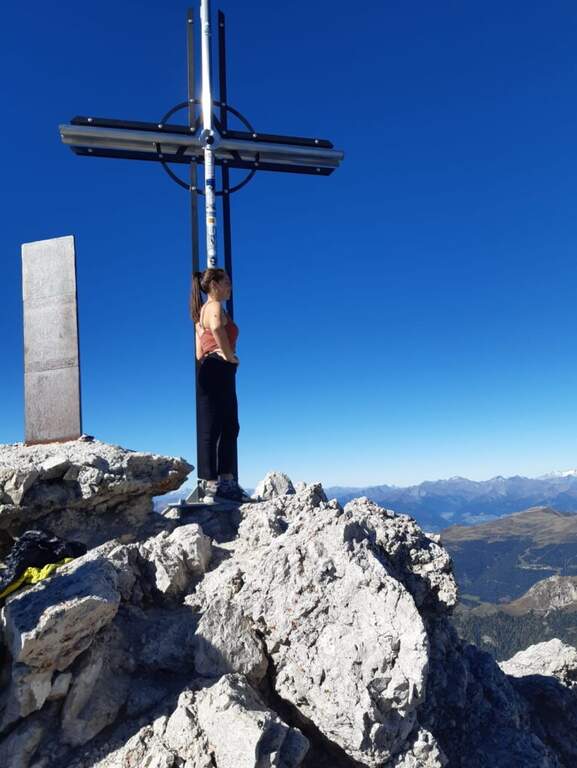
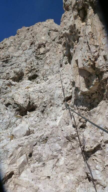
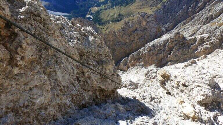
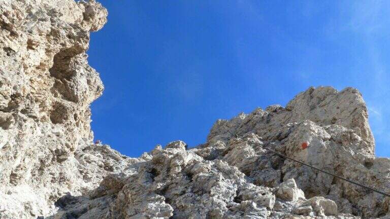
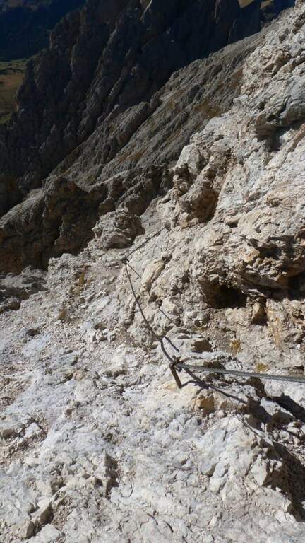
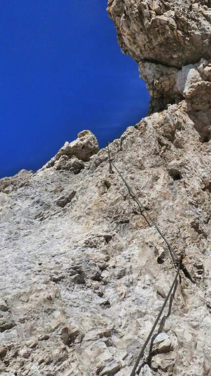
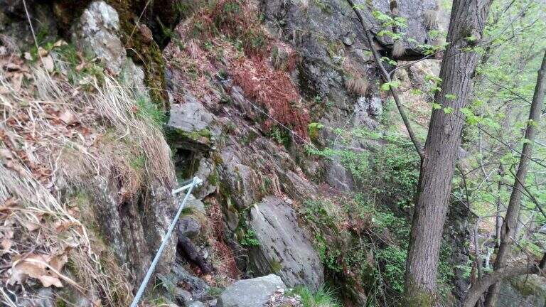
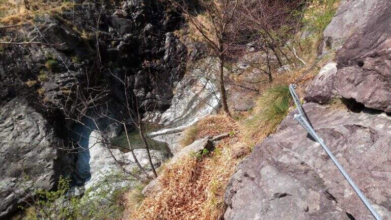
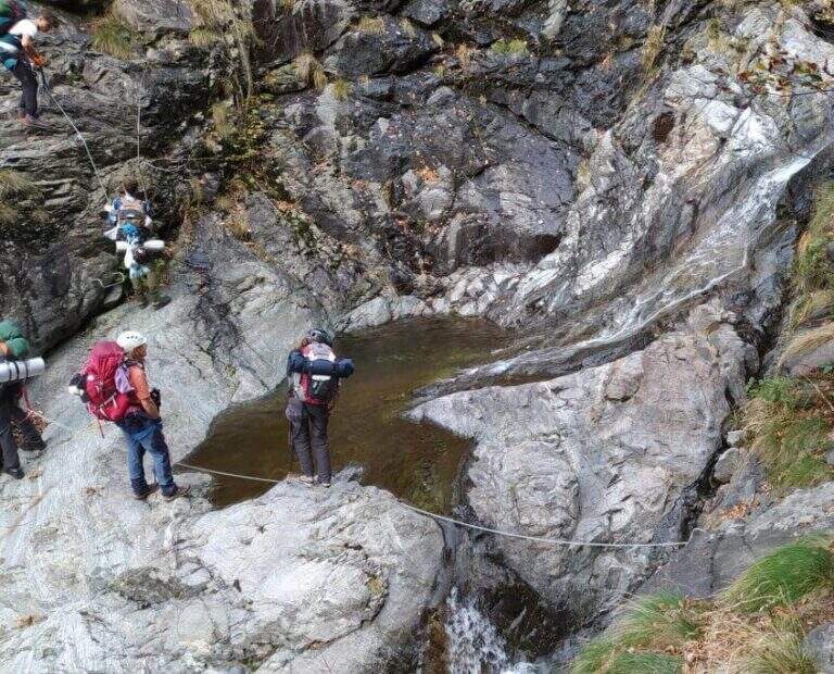
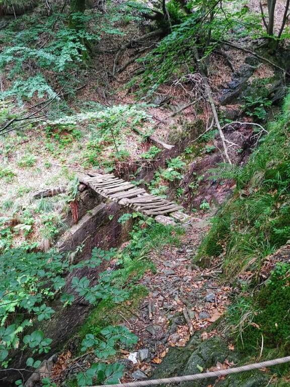
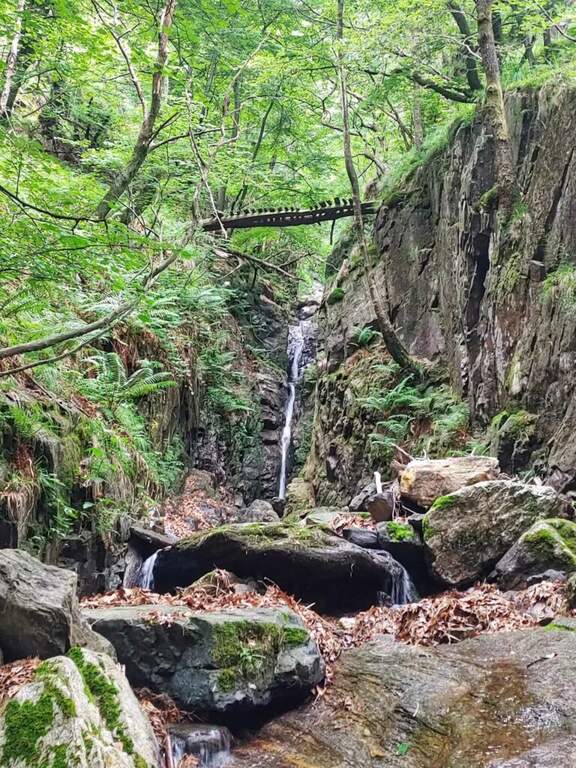
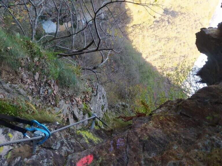
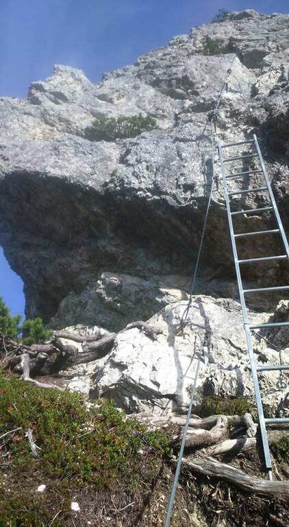
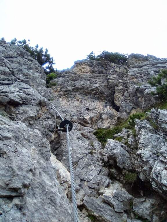
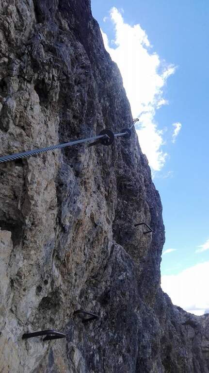
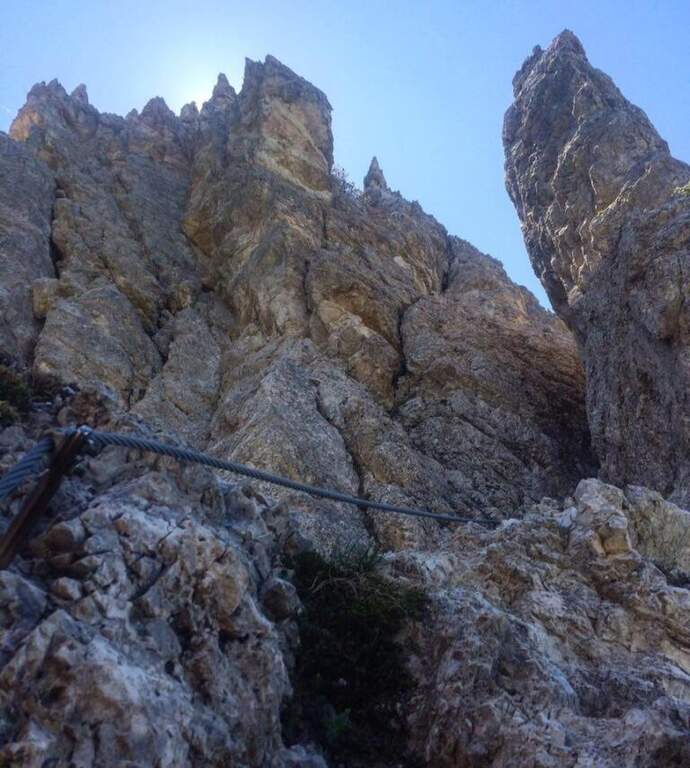
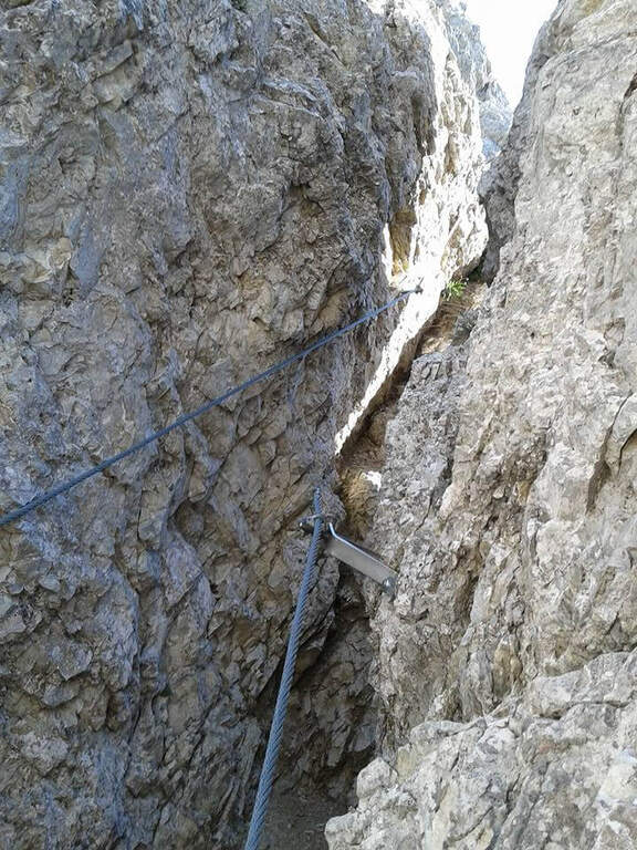
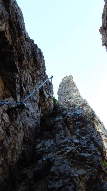
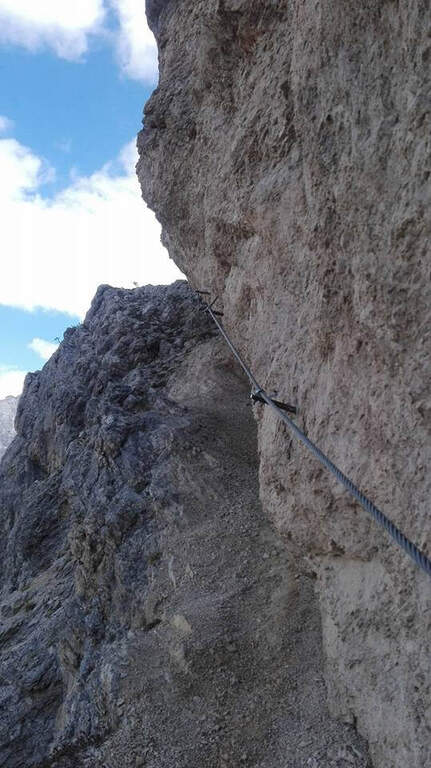
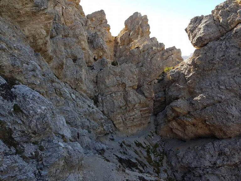
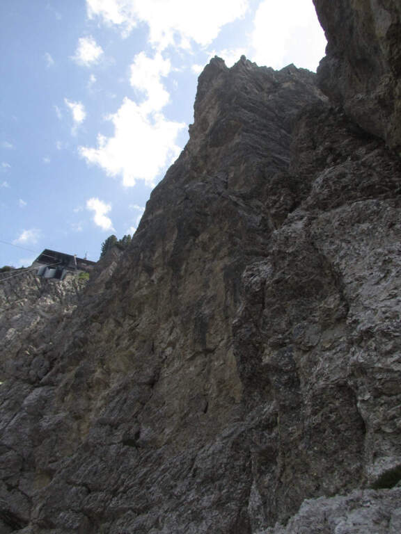
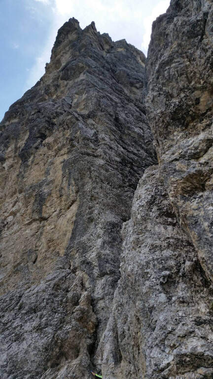
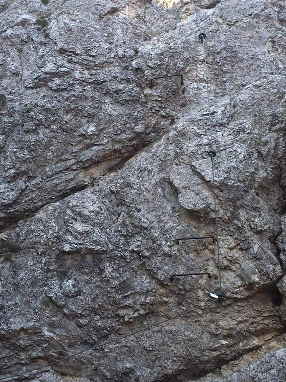
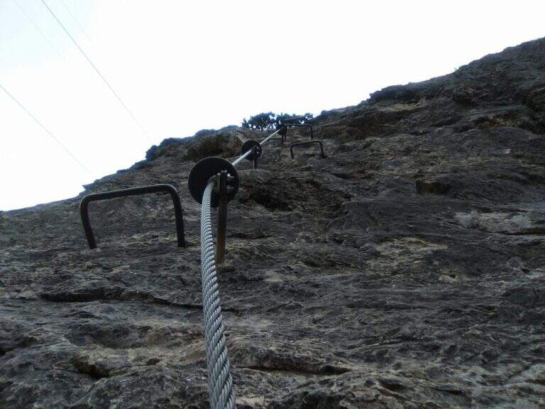
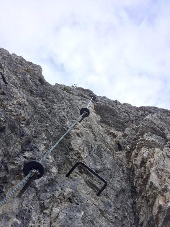
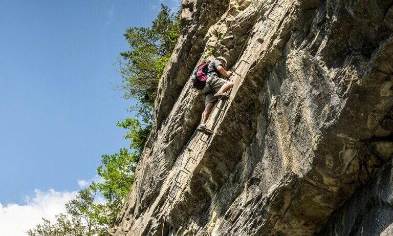
    The route follows the route followed by Austrian soldiers. A colatoio rises and gradually crosses left onto rocks and grass in discreet exposure (attention to the bottom and unstable rocks; the cable è instead it has been recently renovated). We then move to a gola rocky where we face many equipped stretches, with some free climbing passage (maximum I+) and unstable stones. The cable is found on the left side, climbing steep passages towards a short ridge, then a last colatory with l' aid of the rope up to a grassy saddle where the cables end and join the paths from the Senza Confini and the Italian side (2103 m, 1h from' attack, 2h 30' totali). On clear track you climb all' east anticyme and, among many remains of the Great War, to the summit of the Crete of Collinetta (2241 m, 20' from the end of the ferrata, about 3h totali), with metal cross and memorial plaque.

    ▲Character and difficulty

    Pleasant, medium-low difficulty and very climbing: apart from the initial cross-section and a couple of more vertical steps, it is devoid of objective difficulty.

    ⚠ Beware of the few unprotected steps where you climb and the unstable rocks along gorges and colatoi. The words "Creta di Collinetta" and "Cellon" are used indistinctly.

    ▲Period and safety

    GPS tracks (GPX and KMZ); the map of the Central Carnic Alps is useful for the area.

    ▲Discipline

    You return to the crossroads reached at the end of the ferrata and you go right on the path 147, Italian side, cutting horizontally; along the mule track you rejoin the path dell' approach to the parking lot (1h 30' from the summit, 4h 30' totali).

    ▲To match

    Shares a lot of approach and return with the most demanding Ferrata Senza Confini. From nearby Rifugio Marinelli you reach the attack of the difficult Ferrata to the north wall of Coglians; downstream of the pass the Path equipped Cuestalta. Further south, in the Carnic Prealps, the Cassiope, la Ferrata at the Clap Varmost e la 50 of the Clap.
    ▲Gallery
    Technical data
    • DifficultyModerately Hard
    • RegionFriuli-Venezia Giulia
    • GroupAlps Carnia
    • Approach1:30 h
    • Ferrata1:30 h
    • Itinerary (a/r)4:30 h
    • Hardware level difference358 m
    • Route difference868 m
    • Max2228 m
    • Length8,2 Km
  • Ferrata Speikboden

    Ferrata Speikboden

    Vie Ferrate › Trentino-Alto Adige › Bolzano
    Ferrata Speikboden
    Moderately Hard● OpenDescriptionComplexityMapsGallery

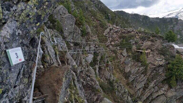
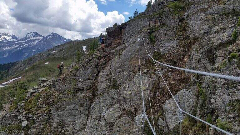
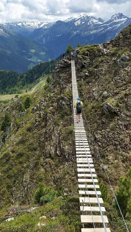
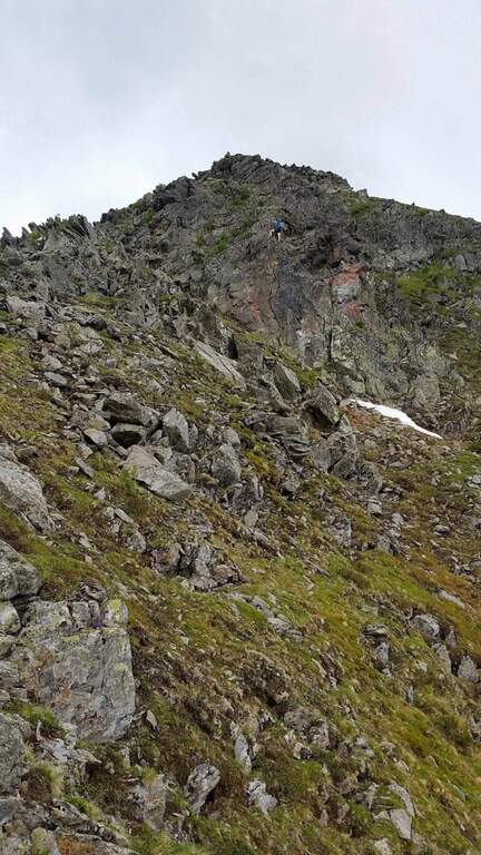
    La Ferrata Speikboden ` a recent route that climbs to the top of Speikboden, above Campo Tures in Valle Aurina. È of media difficoltà , very panoramic, with ring return and two fun suspended bridges; the ascent does not have difficulties; relevant techniques and, for those who ` accustomed to challenging, può routes; be climbing almost entirely.

    ▲Approach

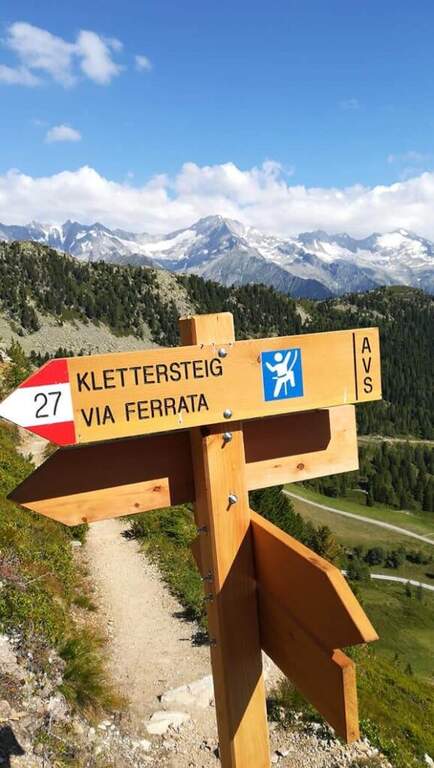
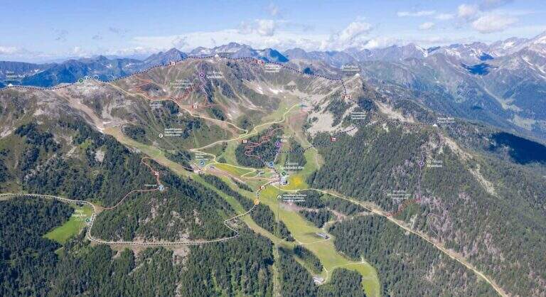
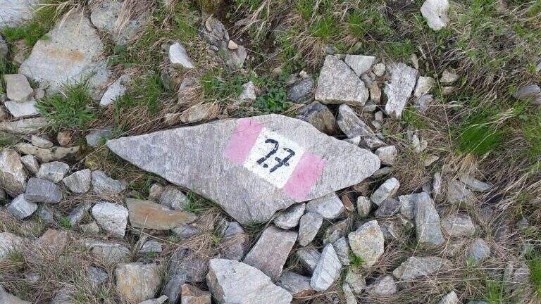
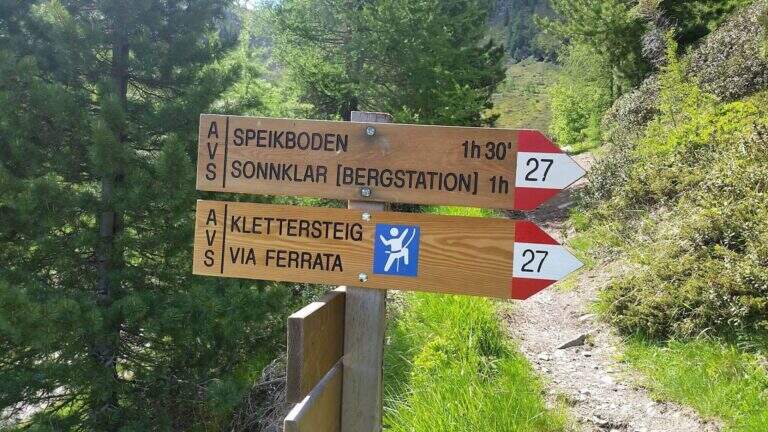
    Starting point is the valley station of the cable car of Costa di Tures, aboard the SS 621 in Valle Aurina. Open road signs on Google Maps. With the cable car you climb the first trunk up to Malga Speikboden (about 1970 m); from here you follow up to the southwest the path 27 with the first indications for the ferrata, up to a crossroads marked to the right where you leave the 27 and you reach l' attack (45' from the cable car).

    ▲The path

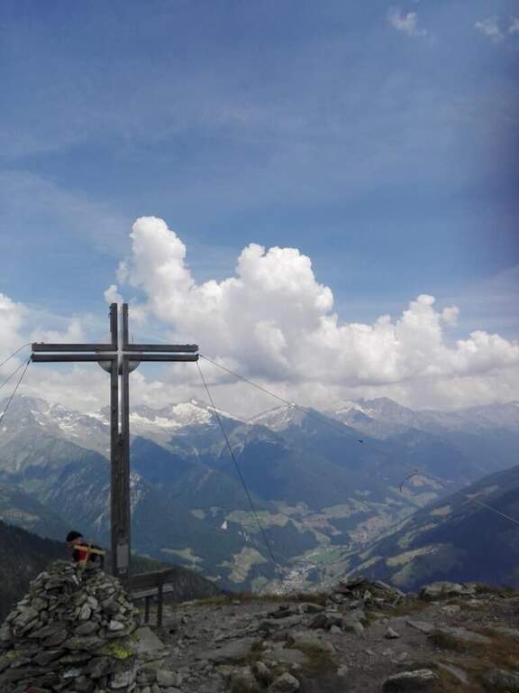
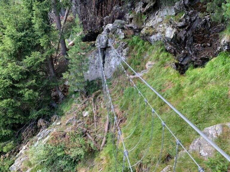
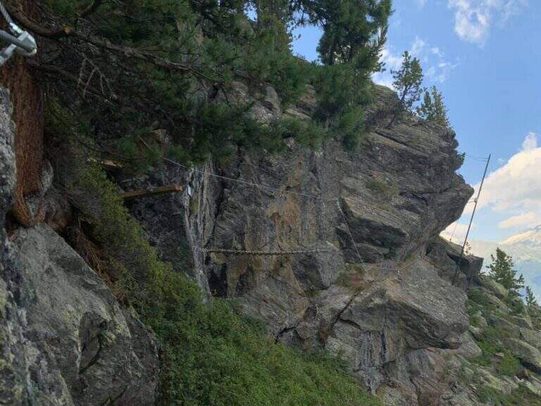
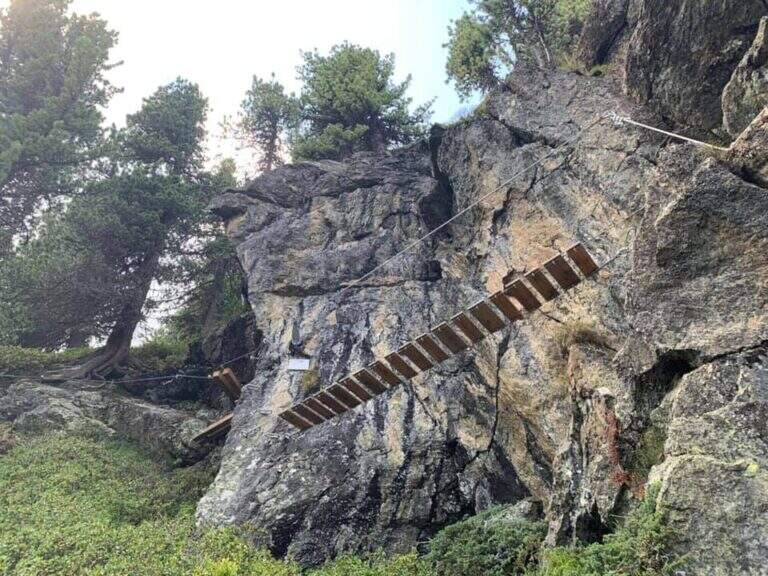
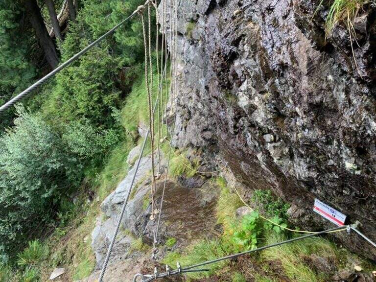
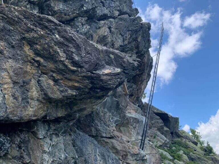
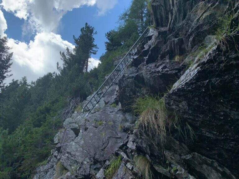
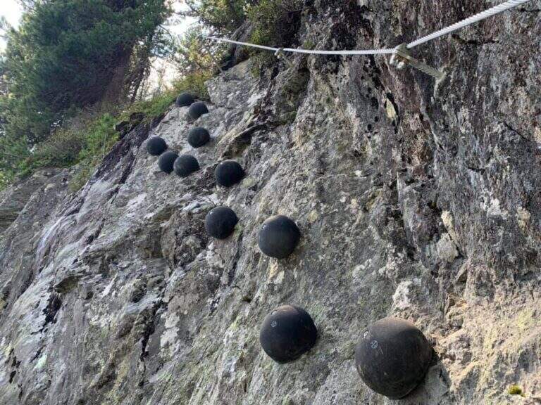
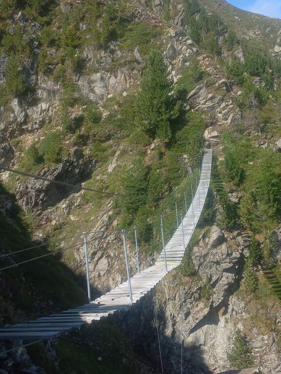
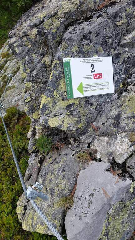
    Next to a wooden bench, near the green sign, the cable sticks on a diagonal ramp to the right; a first non-hard vertical leap and some small rocks precede a long stretch equipped with a connection without difficulty and agrave;. You reach the first suspension bridge at 4 ropee, stable but long and adrenaline, and shortly after a second bridge, still più long but with solid wooden boards, which closes the first section. After a stretch of path, the second section attacks vertically (arrampical), bends right onto some paths, continues on easy rocks up to a vertical passage of greater commitment, a short diagonal stretch and a last vertical tear; some small rocks close the equipment (2480 m, 1h 30' from' ) attack and for the path you will soon reach the peak of the Speikboden (2517 m).

    ▲Character and difficulty

    Average difficulty, without significant technical steps, made fun of the two suspended bridges and beautiful views of the Aurina Valley. It is part of a district that since summer 2021 also offers a Ferrata Kids (facial, for children) and a Ferrata Avventura (modern, with bridges, networks, stairs and passages on logs).

    ▲Period and safety

    GPS tracks (GPX and KMZ) are available. The return is ringed in both variants of descent.

    ▲Discipline

    Dalla croce dello Speikboden due opzioni, entrambe ad anello: verso sud si riprende il sentiero 27 in discesa fino a un bivio, da cui si torna alla funivia (eventualmente passando per Malga Sonnklar e il Dosso Sonnklar sul sentiero 26; 3h 30' totali); verso nord, tenendo la destra, si segue il sentiero 18 in quota fino al Dosso Grande (2400 m) e poi il 18A in discesa verso la funivia (2h 30' totali).

    ▲To match

    Complete the ferrates of the Aurina Valley, where the other two are for experts: the athletics Pursteinwand e la Fireplace / Steel at Monte Nero. Near Campo Tures the difficult Hans Kammerlander; towards Brunico Ferrata di Valdaora e la Piz de Peres; on the north side of the Odleshigh street Günther Messner e la Sass de Putia; towards Val Passiria la la Ferrata delle Cascate di Stuller.

    ▲Gallery
    Technical data
    • DifficultyModerately Hard
    • RegionTrentino-Alto Adige
    • GroupAurine Alps
    • Approach0:45 h
    • Ferrata1:30 h
    • Itinerary (a/r)3:30 h
    • Hardware level difference277 m
    • Route difference557 m
    • Max2517 m
    • Length6 Km
  • Ferrata Senza Confini (Cellon)

    Ferrata Senza Confini (Cellon)

    Vie Ferrate › Friuli-Venezia Giulia › Udine
    Ferrata Senza Confini (Cellon)
    Very difficult● OpenDescriptionComplexityMapsGallery

    La Ferrata Senza Confini sale al Cellon (Creta di Collinetta), al Passo di Monte Croce Carnico, sul confine tra Italia e Austria. È una via molto impegnativa, verticale, esposta e fisica, da evitare se non ben allenati e abituati all'esposizione, ma di forte interesse storico: l'itinerario consente di percorrere anche una lunga galleria bellica della Prima Guerra Mondiale. La vetta della Creta di Collinetta tocca i 2241 m.

    ▲Approach

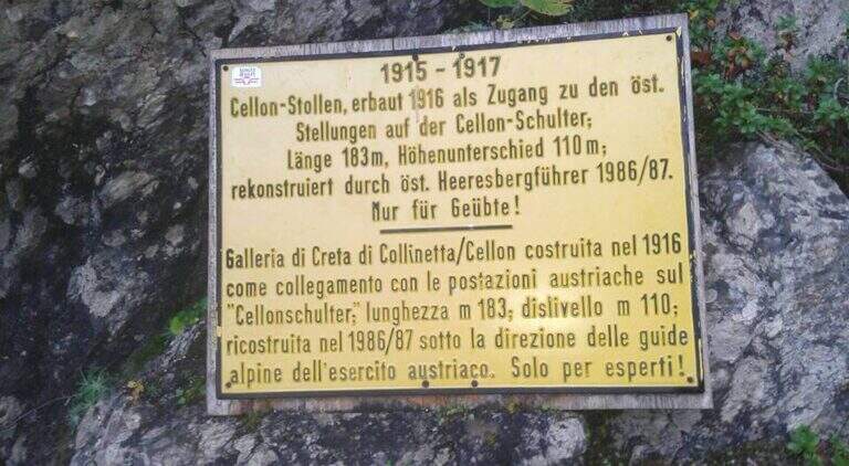
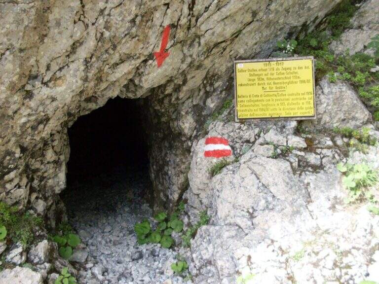
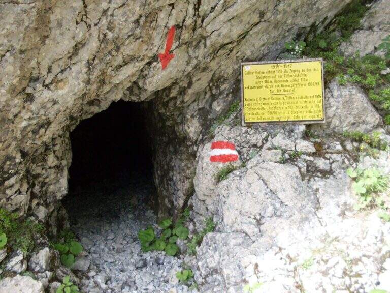
    Starting point the Passo di Monte Croce Carnico (1360 m), reachable in about 40' from Tolmezzo (Udine) to the SS 52b. Open road signs on Google Maps. L' itinerary begins in Austrian territory and falls from Italian territory. After passing the customs, on the western side of the pass, the CAI path towards the Crete of Collinetta; one ignores a first sign for the Without Confini on the left continuing straight towards the Gallery and the Canalone Steinbergerweg. After about 15' at a crossroads the sinistra is held steeply uphill towards the Schulter Gallery; a first steep stretch equipped with rope leads to war settlements and all' entrance of the Gallery of the Cellon (1541 m, about 30'). The gallery rises about 110 m of altitude difference on almost 200 m of development: steep interior, wet and slippery rock, equipped with rope for the whole length and with some brackets in the più traits; I'm sorry. It comes out in a little less than 30' from a narrow slit, you go through a stretch equipped and you reach a counterfeit war (1h from the parking lot). Keeping the right towards the top and, at a second crossroads marked on rock, still the left (on the right goes to the Steinbergerweg), continue between grass, mooring and stone up to a evident dihedron/fenditure diagonal where the ferrata begins, without tags (1h 30' from the parking lot).

    ▲The path

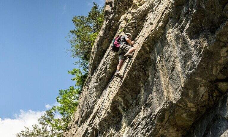
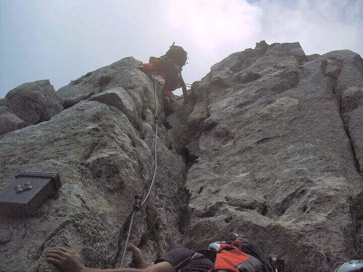
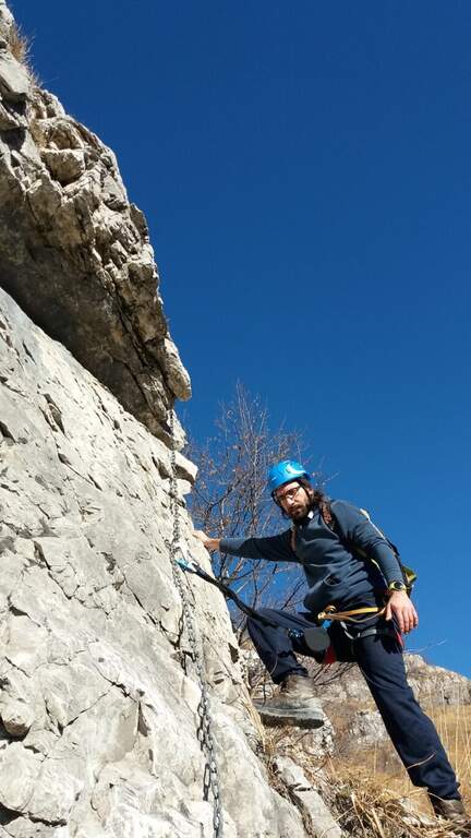
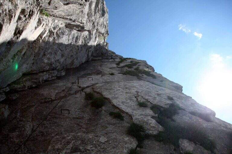
    L' attack è about 4 meters from the ground and must be reached climbing free on passages supported with good hooks. I took the cable, climb rocks leaning with some easy leap, then bend right into a channel at whose end the cable turns abruptly vertically at the base of a lungo, challenging and diedro plane: the plate è poor of natural hooks and equipped with distant brackets among themselves, which oblige a certain traction on the cable; ldisplay&39; Exit from the dihedron and move left on a challenging passage, you arrive on the ridge, plane, with view on the step. They follow più passages; easy that soon return on medium-difficult levels: tilted plates first to the left then to the right of the crest, an exposed edge and some diagonal plates to face in adherence and with good force of arms. At a c' framed rock; ` a first overhanging pass equipped only with rope, requiring agilità and strength; più forward a second strapiombo, initially with metal steps, then a diedron and a well-graded fireplace, both climbed on the left side. A stretch of crest supported with mughi invites you to rest; faithfully resumes the ridge, air, up to the book of signatures and a last dihedron, beyond which the equipment ends. A ridge path leads to some barracks of the Great War and a crossroads (2103 m, 1h 30' ); from here it rises to the summit of the Crete of Collinetta (2241 m, 20' from the end of the ferrata, about 3h totali), with metal cross and memorial plaque.

    ▲Character and difficulty

    Athletic and difficult to test: little climbing for long stretches, with individual high-level passages leading to a strong traction on the cable. It runs in part parallel to a historic Friulian climbing route (Mazzilis and De Infanti).

    ⚠ Suitable only for trained hikers, with force of arms and who do not suffer from dizziness: a couple of steps are very exposed. For the Cellon tunnel è indispensable a frontal stack, forché the first section è completely dark; the inner rock è wet and slippery.

    ▲Period and safety

    GPS tracks (GPX and KMZ); the map of the Central Carnic Alps is useful for the area. The words "Creta di Collinetta" and "Cellon" are used indistinctly.

    ▲Discipline

    You return to the crossroads reached at the end of the ferrata and you go right on the path 147, Italian side, cutting horizontally; then along the mule track you rejoin the path dell' approach and return to the parking lot (1h 30' from the summit, 4h 30' totali).

    ▲To match

    The itinerary shares approach and return with the neighbor Ferrata Steinbergerweg, assessable as a downhill option for experienced hikers. In Carnia, more south of the pass, the Path equipped Cuestalta and, reachable via Rifugio Romanin, la Ferrata del Coglians; further south, in the province of Udine, the Cassiopea al Torrione Comici, la 50° of the Clap e la Ferrata at the Clap Varmost.

    ▲Gallery
    Technical data
    • DifficultyVery difficult
    • RegionFriuli-Venezia Giulia
    • GroupAlps Carnia
    • Approach1:30 h
    • Ferrata50
    • Itinerary (a/r)5:30 h
    • Hardware level difference408 m
    • Route difference868 m
    • Max2228 m
    • Length6,8 Km
  • Ferrata Contessi at Monte Due Mani

    Ferrata Contessi at Monte Due Mani

    Vie Ferrate › Lombardia › Lecco
    Ferrata Contessi at Monte Due Mani

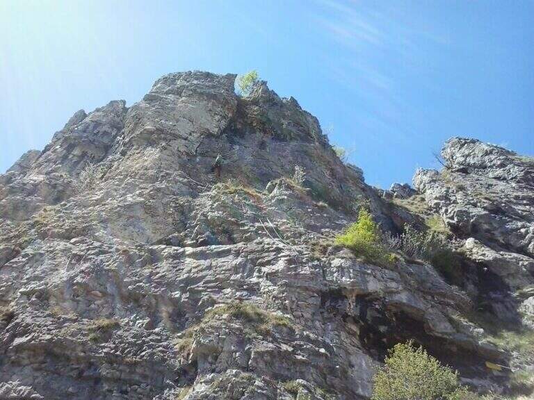
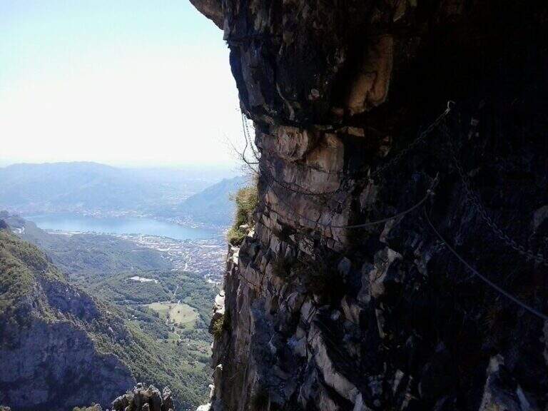
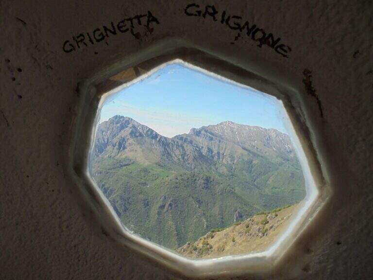
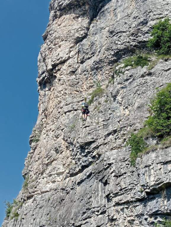
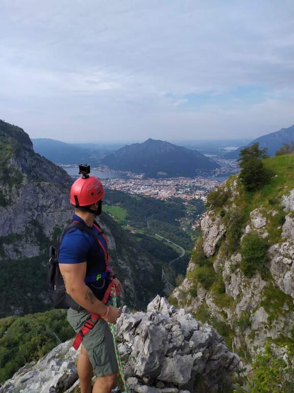
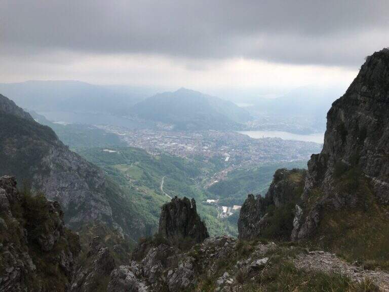
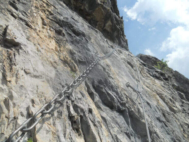
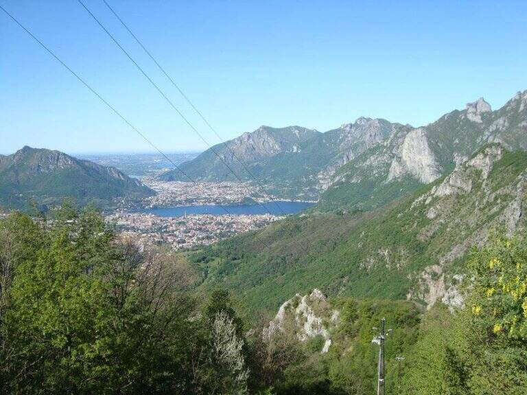
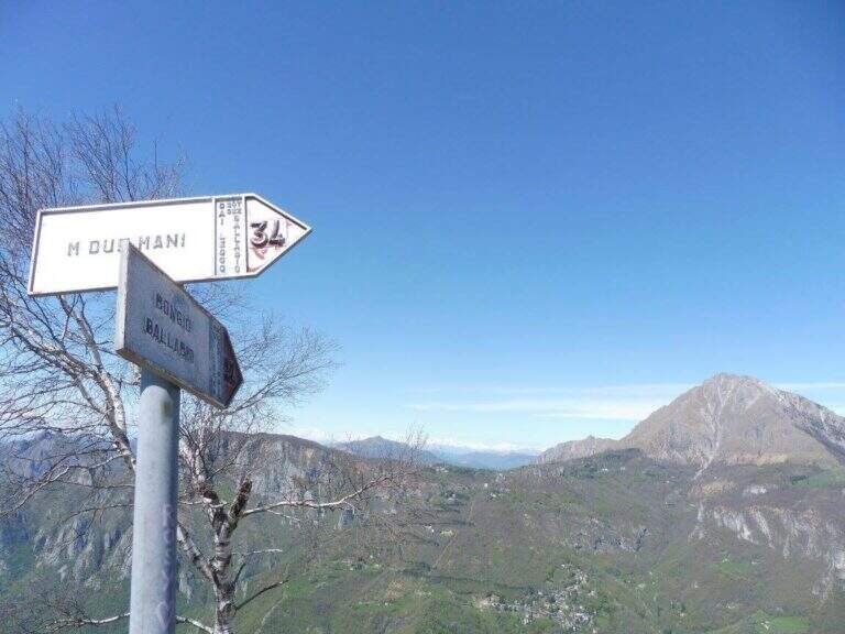
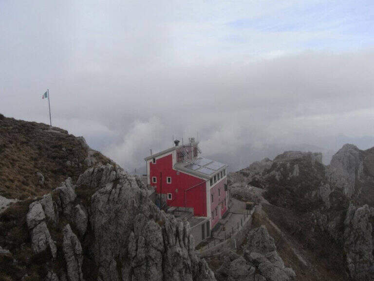
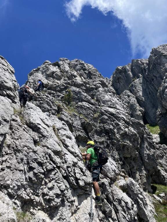
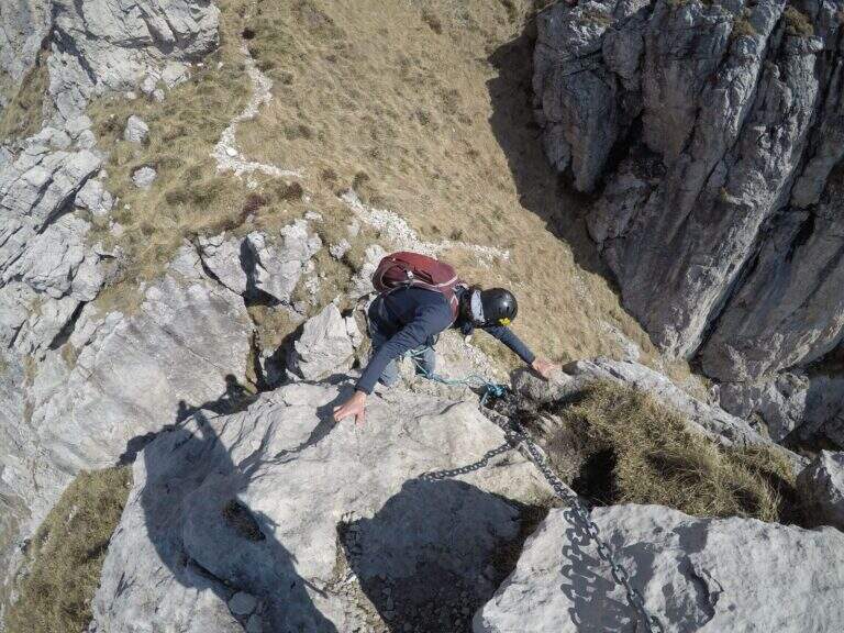
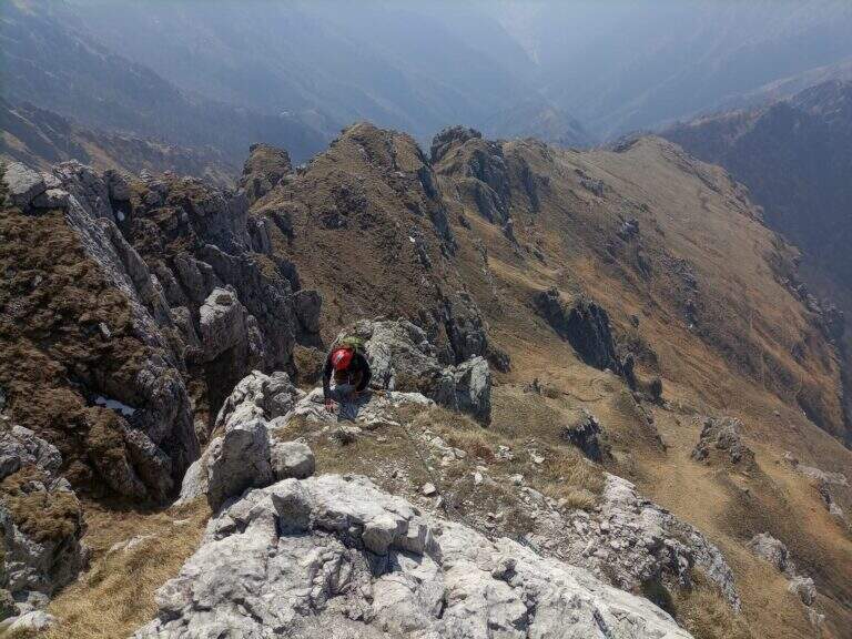
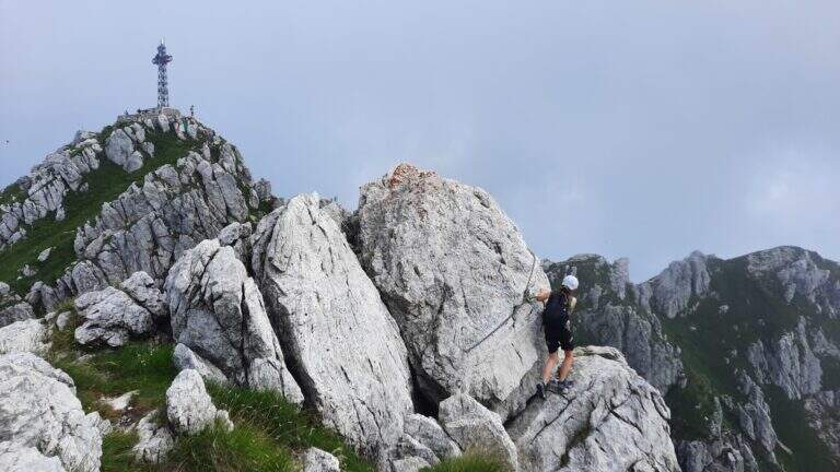
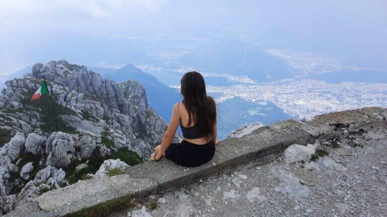
    La Ferrata Simone Contessi climbs along the rocky towers of the ridge of Monte Due Mani, in the province of Lecco. È a demanding and very varied , with vertical walls, beams and a dozen towers, and gives a wonderful view on Grigne, Resegone and Lake. A path along the ferrata and allows you to bypass the individual towers, offering numerous escape routes.

    ▲Approach

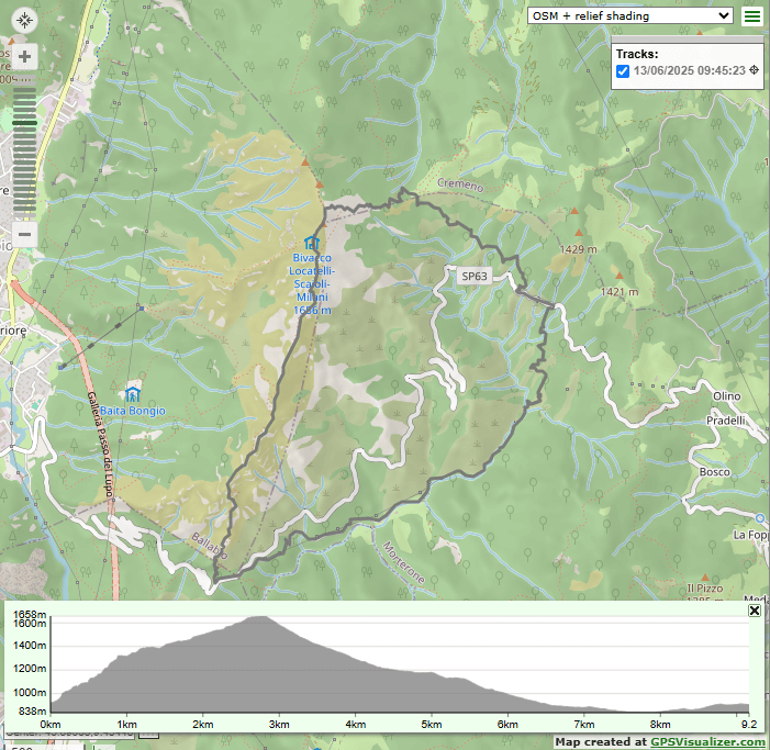
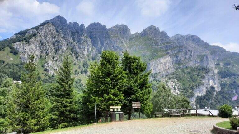
    Starting point along the road that connects Ballabio to Morterone (Lecco): from Ballabio you go for almost 5 km to the winding road to Morterone, you cross a tunnel and, after a few bends, you find a slargo on the left with a couple of parking spaces and a sign (other parking spaces just beyond). Open road signs on Google Maps. From the parking lot, a steep path in the forest takes short to the tag d' attack (10' from the parking lot).
    ▲The path

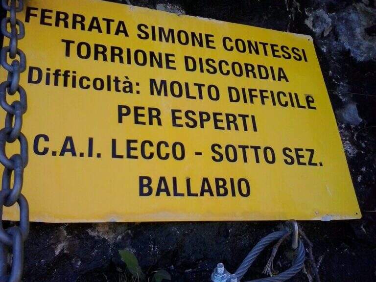
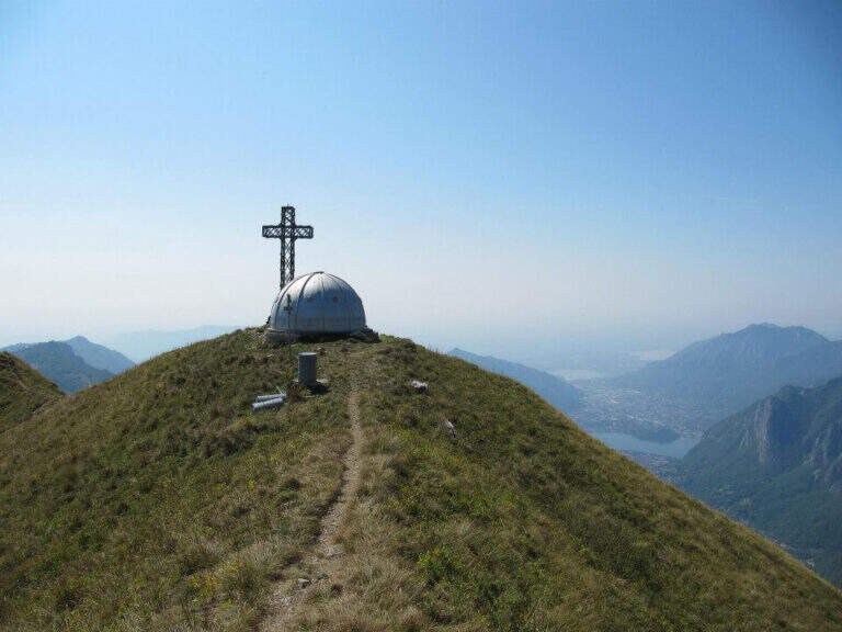
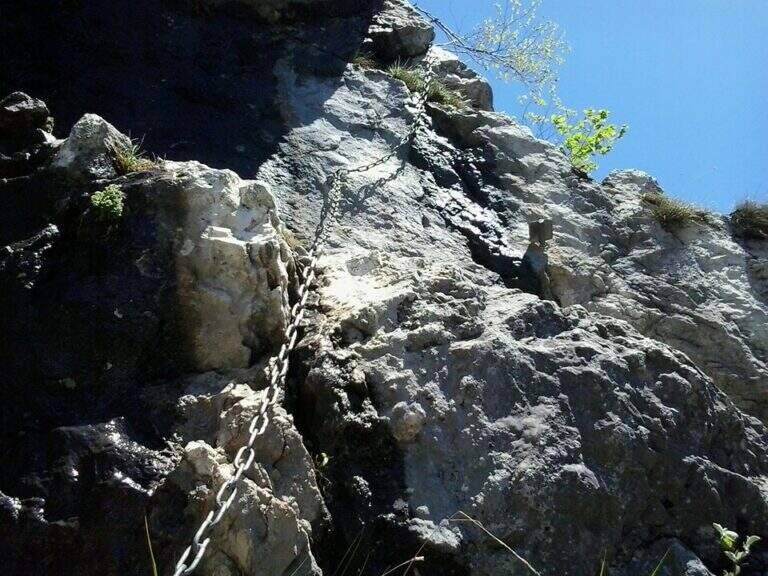
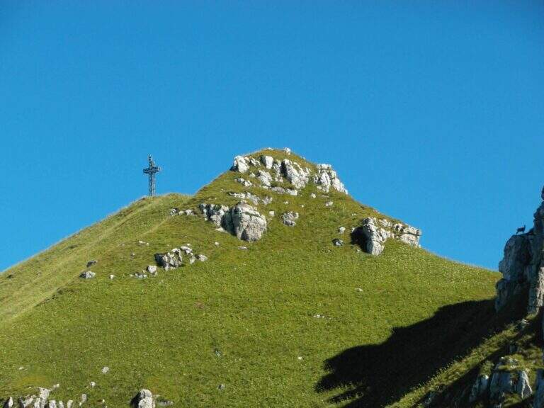
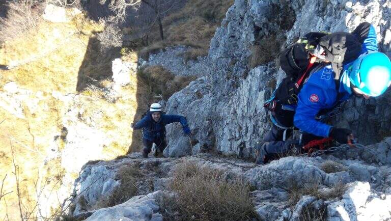
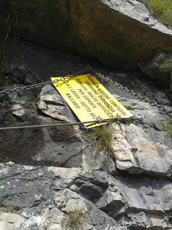
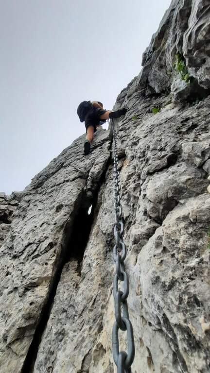
    The Via è marked by a series of torrioni, each one by the path. It starts with the chain that bends left onto small rocks, circumvents a prominence and then on the right leads under a first wall with few hooks (a bracket helps the foot); it follows a più wall; long with natural hooks and brackets and a diagonal traverse left towards a corner, which closes the first section. The second section, all' più appearance; lasts as long as it is, rises with a left-hand side, a vertical wall with good supports and small rocks. The third, challenging, alternates a short right-handed traverse, a diagonal traverse exposed to the left and a vertical dihedron. The fourth tower, più easy, goes up a corner and descends on the opposite side; the fifth has a steep vertical wall, a exposed traverse and a last vertical stretch, followed by a ridge path equipped. The sixth è a short plaque, the seventh the più easy. L' eighth section — the Torrione della Discordia — è of a very difficult level: a narrow nod under a roof, a wall definitely overhanging with brackets, chain and cable, a short diagonal traverse and another 5-6 meters overhanging, then a long diagonal traverse in adherence on rock poor d' The ninth section è a beautiful vertical plate, at first apparently smooth then più attached to the left, about ten meters (1h 30' from' ) attack. Follows a ridge with equipped sections and path (about 1h 15') up to a last crossroads: the tenth and short section goes up a spur and descends on the opposite side, otherwise bypassable, up to the peak cross with the bedless bivouac (3h from' attack, 3h 15' totali).

    ▲Character and difficulty

    Limestone rock that allows you to climb in many stretches. Overall the road remains difficile, although with the Torrione della Discordia of a very difficult but bypassable level.

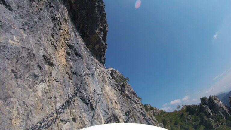
    ⚠ The muskable chain is in some stretches lasca, with rather spaced tokens: proceed with caution. Itinerary long and with important difference in altitude; a pair of telescopic sticks are useful downhill.

    ▲Period and safety

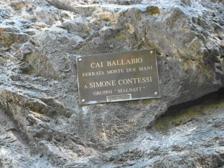
    GPS tracks (GPX and KMZ) are available; the Grigne, Resegone and Valsassina map is useful for the area. The ferrata is dedicated to the young climber Simone Contessi, of the Malnatt group of Lecco, who died in an accident.

    ▲Discipline

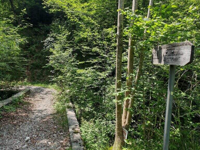
    It can be arranged; go down the normal road: reached the asphalted road upstream of the' car, keep the left downhill and take right l' ancient municipal road of Morterone in the forest until the parking lot. Alternatively, go down the steep path that runs along the towers, up to ' attack and all' car (1h 45' from the summit, 5h totali).

    ▲To match

    Area rich in itineraries: in increasing order of difficulty the River Trail, la Gallery of Morcate, la Range 1 to the Planets, la Ferrata al Corno Medale e la 30° OSA at Corno Rat; for the most prepared the Range 2 o la Ferrata del Monte Ocone.

    ▲Gallery
    Technical data
    • DifficultyHard
    • RegionLombardy
    • GroupPrealps Lecchesi
    • Approach0:10 h
    • Ferrata30
    • Itinerary (a/r)5:00 h
    • Hardware level difference756 m
    • Route difference756 m
    • Max1656 m
    • Length9,9 Km
  • Ferrata Silvano de Franco (Resegone)

    Ferrata Silvano de Franco (Resegone)

    Vie Ferrate › Lombardia › Lecco
    Ferrata Silvano de Franco (Resegone)

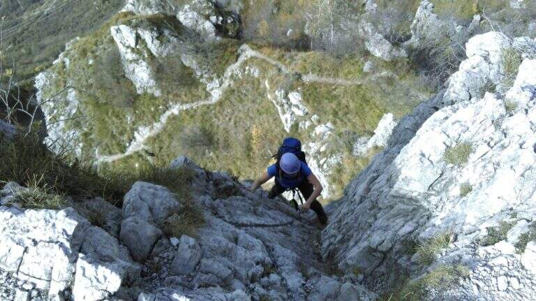
    La Ferrata Silvano de Franco ` an alternative route to the più routes; bars for the summit of Resegone, the mountain that dominates Lecco. È a corto itinerary but challenging, along the southwest ridge, on high exposure and with some difficult plaques; l' & ` rather long, reason why it is often chained with other equipped routes that go back to Pian Serrada.

    ▲Approach

    Starting point l' wide cable car square for the Piani d'Erna in Lecco. Open road signs on Google Maps. There are more alternatives, depending on whether you use the cable car and want to insert another equipped path. The most direct: from the mountain station follow the path 5 towards the Rifugio Azzoni; at the crossroads with the path 1 take it to the left uphill, you pass the Passo della Zibretta (1h 15' from the cable car) and, paying attention to a' slight trace to the left towards a pole, you descend slightly until the' attack (1h 30' from the cable car). Alternatively, you can go up on foot from the parking lot on path 1 above the Stoppani Refuge (about 3h all' attack) or enter the Centenary Ferrata or the Caminetto Path first from the Fò Pass; and the Pian Serrada.

    ▲The path

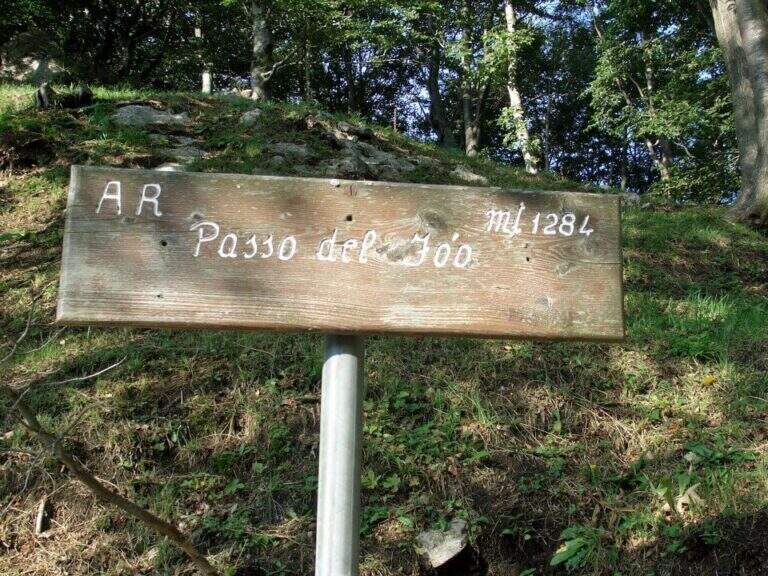
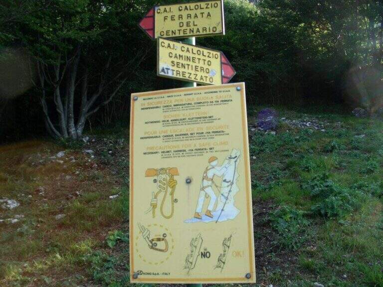
    La ferrata inizia con un breve balzo dove la catena passa in una fessura della roccia; seguono roccette ricche di appigli naturali e un secondo tratto più lungo, con roccia frastagliata, dove la pendenza cresce e la catena corre in un canalino con un piccolo balzo più difficile (utile la catena). Dal pulpito di questo tratto si vede un secondo settore verticale, preceduto da un breve sentiero di cresta su esile traccia attrezzata sul lato destro del filo. Il secondo torrione attacca con un diedro di 4 metri dagli appigli poco evidenti (conviene salire coi piedi a sinistra, pur scorrendo la catena a destra); si aggira una sporgenza a destra, si rimontano un paio di risalti — uno più faticoso — fino a un terrazzino, oltre il quale c'è un tratto di discesa attrezzata. Seguendo la traccia si raggiunge un nuovo tratto che parte sotto un basso tetto, difficile da iniziare senza trazionare sulla catena, poi più appigliato; una breve cengia a sinistra porta a una parete con fessura a sinistra e paretina a destra. Si stacca un attimo dai moschettoni e si riattacca su un risalto; un esposto tratto verticale, ben appigliato dopo i primi metri, rimonta uno spigolo sul lato destro fino a un tratto di cresta tra balzi e roccette, meno impegnativo ma molto esposto. Oltre un'esposta selletta si attacca l'ultima sezione su un pilastro (lato sinistro), poi roccette e risalti più marcati sul filo destro della cresta; si esce sul sentiero di cresta, non difficile ma da fare con attenzione dopo le piogge, con la croce di Punta Cermenati in vista. Alcuni saliscendi, l'aggiramento in discesa di un masso e si arriva alla croce (1h dall'attacco, 2h 30' dalla stazione a monte).

    ▲Character and difficulty

    Ferrata not long but with some difficult passages not to be underestimated, less joke of other routes in the area of Resegone.

    ⚠ The chain, present along the whole path, is mosquitable but rather bulky: sometimes I hang in the progression, and the puppets tend to entangle.

    ▲Period and safety

    GPS tracks (GPX and KMZ) are available; the Grigne, Resegone and Valsassina map is useful for the area.

    ▲Discipline

    Dalla croce si vede il Rifugio Azzoni; raggiuntolo si scende sul sentiero 1 fino al bivio col 5, da cui si può tenere il 5 a destra verso i Piani d'Erna e la funivia (1h 15' dal termine, 3h 45' totali) oppure restare sul sentiero 1 verso il Rifugio Stoppani e il parcheggio (2h dal termine, 4h 30' totali).

    ▲To match

    It often concatenates with one of the equipped paths that go back to Passo Fò, or climbing the Ferrata Gamma 1 from the Piani d'Erna. On the Resegone you can also walk Ferrata Gamma 2 e la Cresta della Giumenta.

    ▲Gallery
    Technical data
    • DifficultyHard
    • RegionLombardy
    • GroupResegone
    • Approach1:30 h
    • Ferrata1:00 h
    • Itinerary (a/r)3:45 h
    • Hardware level difference180 m
    • Route difference485 m
    • Max1860 m
    • Length8 Km
  • Ferrata Sora el Sass

    Ferrata Sora el Sass

    Vie Ferrate › Veneto › Belluno
    Ferrata Sora el Sass

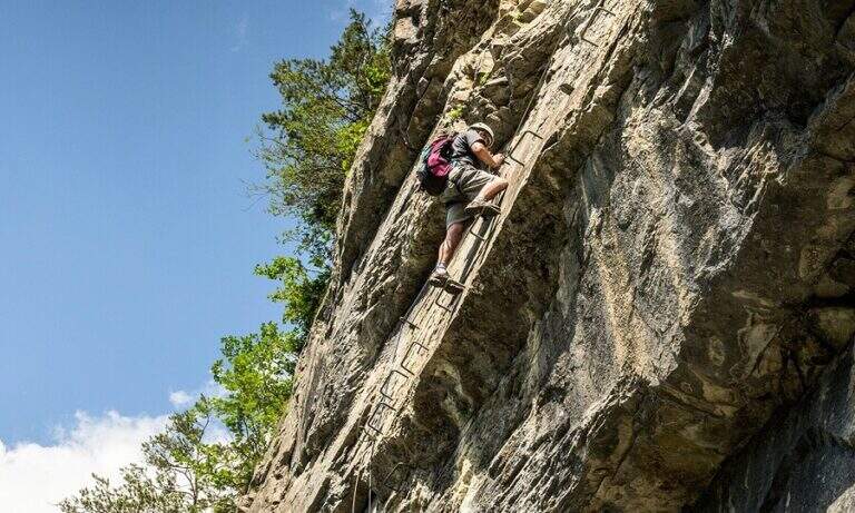
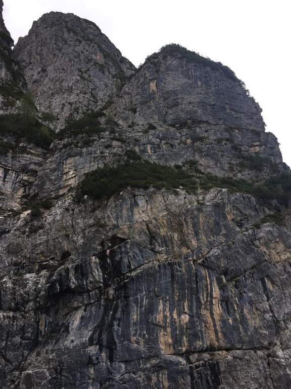
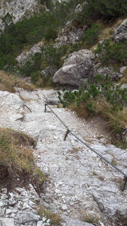
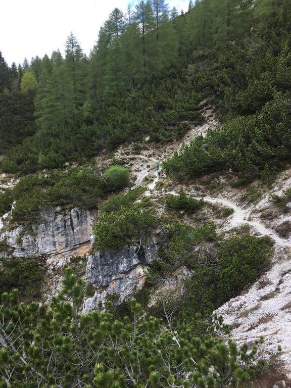
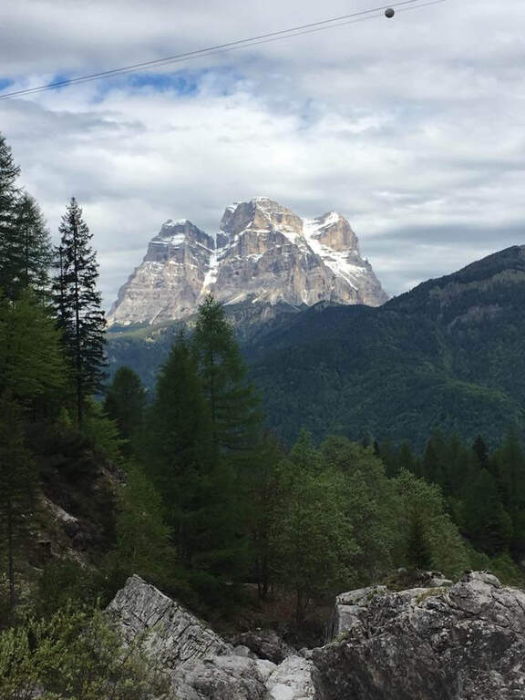
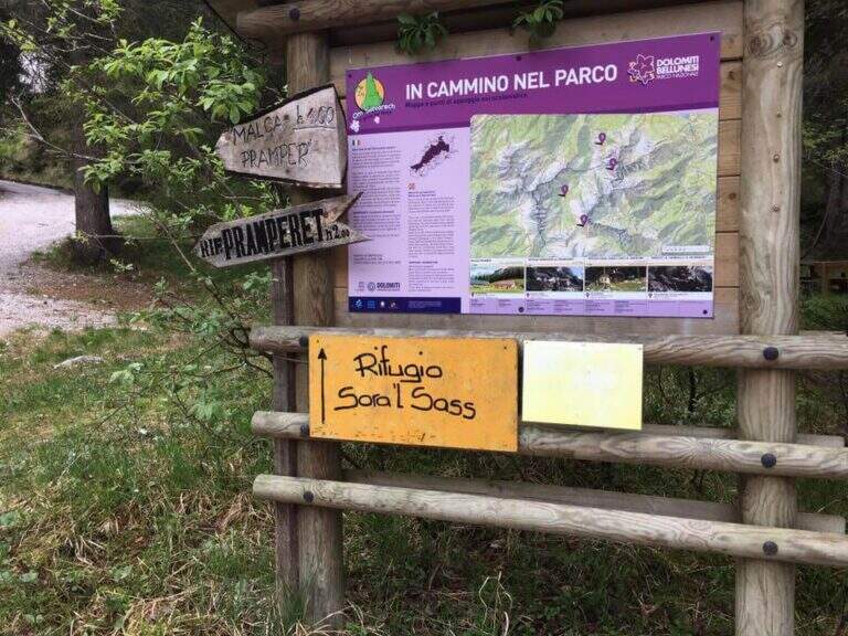
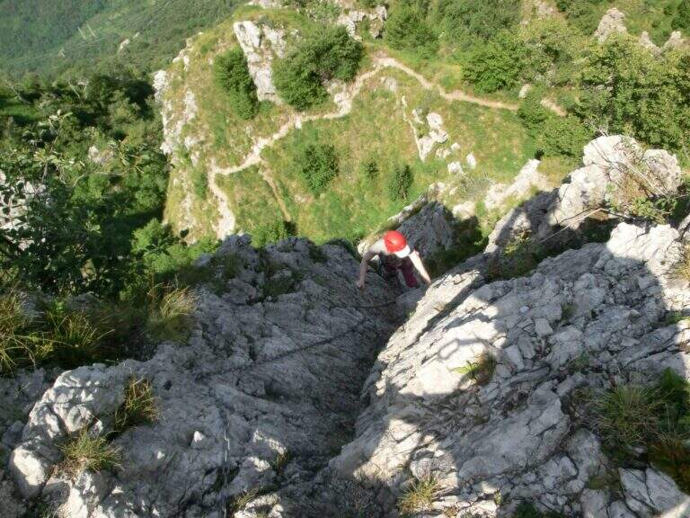
    La Ferrata at the Sora el Sas, near the Spitz of Mezzodì, è a facile street divided into two short sections: the first goes up a canalone, the second goes up to a panoramic pulpit called Belvedere. Adapted to the neophytes, it offers beautiful views of the Dolomites of Bellunese.

    ▲Approach

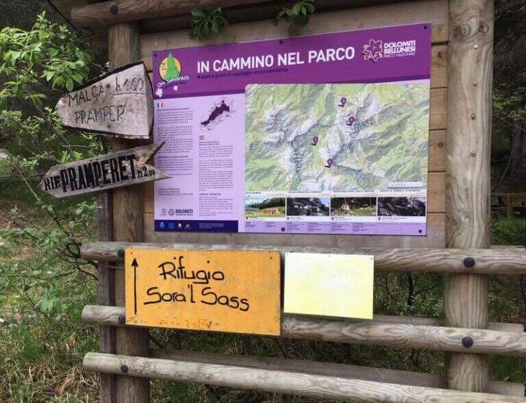
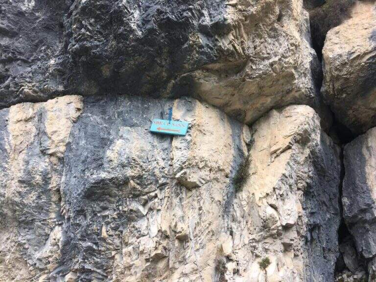
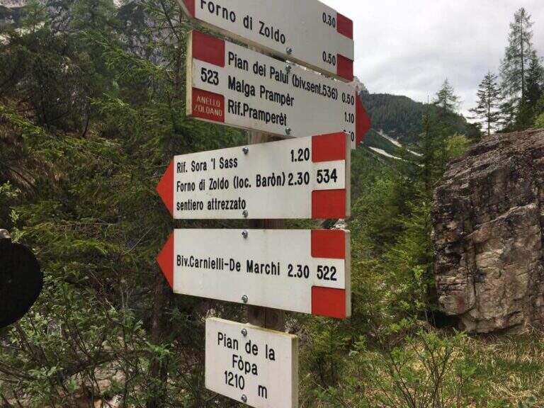
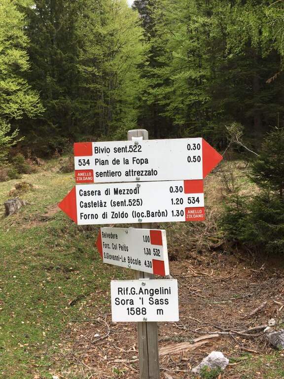
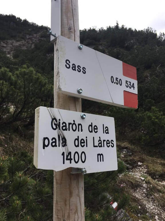
    Starting point parking in the village of Pian de la Fopa, in Val Pramper south of Forni di Zoldo (Belluno): in the village follow the signs south towards the Rifugio Pramperet, then at a crossroad take the secondary road (in part dirt road but in good condition) to the Rifugio Sora el Sass, for about 4.5 km until the parking lot. Open road signs on Google Maps. Follow the forest and then the CAI path 534 for the refuge Sora el Sass towards the walls of the Spitz of Mezzodì at a crossroads you leave 522 (to the Bivacco Carnielli) holding the left towards a shady canalone, up to the first equipment (45' from the parking lot).
    ▲The path

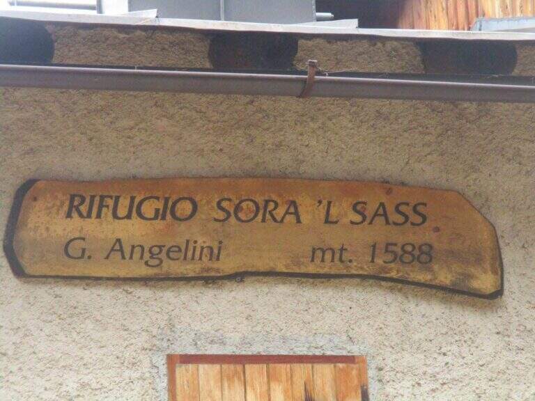
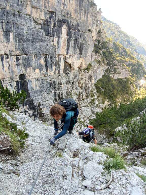
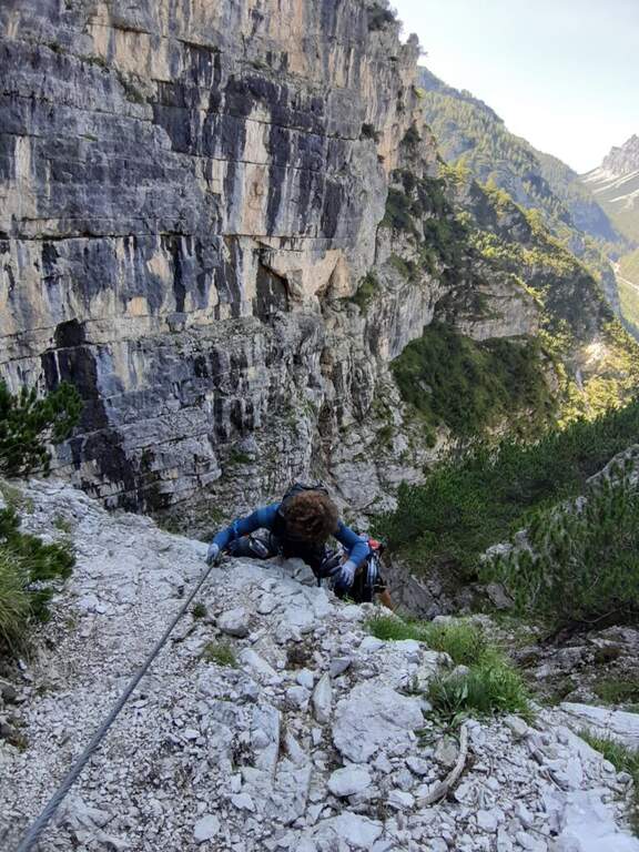
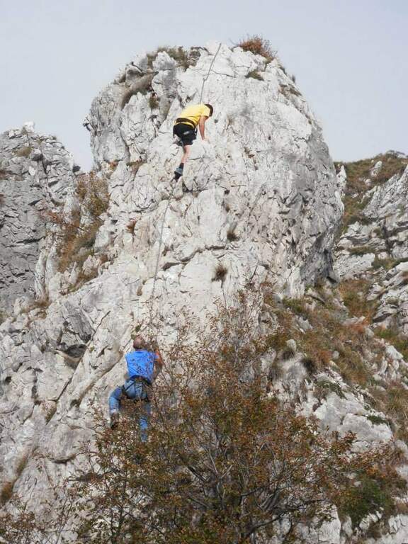
    La first section esce dal canalone con una rampa a sinistra priva di difficoltà e un facile canalino gradonato (attrezzatura a destra, appigli abbondanti a sinistra); si piega a destra per pochi metri e poi su comoda cengia a sinistra, si aggira uno spigolo e si salgono roccette ben appigliate, arrampicabili (attenzione al fondo di ghiaino instabile, rischio di smuovere detriti). Una facile placchetta e una cengia a sinistra chiudono le attrezzature (20' dall'attacco); su comodo sentiero si raggiunge il Rifugio Angelini (Sora el Sass, 1588 m, 1h 30' dal parcheggio). Da qui si può rientrare oppure proseguire verso il Belvedere col CAI 532: a un bivio si sale a destra per il sentiero attrezzato (per scendere poi dalla via normale), superando un balzo verticale ben appigliato, una cengia, un canalino e un balzo più marcato, fino al Belvedere, punto panoramico sui gruppi bellunesi con il Pelmo in evidenza (1965 m, 45' dal rifugio, 2h 15' totali).

    ▲Character and difficulty

    Easy itinerary, ideal for neophytes and families.

    ⚠ At the beginning of the season the canalone can still be snowed: it is useful to have the ramps. The equipped sections are quite dirty with debris material: pay close attention not to move stones.

    ▲Period and safety

    An official GPS track is not available for this route. The map of the 4Land Dolomites is useful.

    ▲Discipline

    Dal Belvedere si scende sul lato nord per sentiero facile, si aggira il Belvedere e si rientra al Rifugio Angelini (45' dalla vetta); per chiudere l'anello si prosegue verso nord sul CAI 534 verso la Casera di Mezzodì, scendendo il ripido Vallon Piccolo a tornanti, poi sul 525 fino alla forestale e in salita al parcheggio (1h 30' dal Rifugio Angelini, 4h 30' totali).

    ▲To match

    The way is in the Pramper group. To the west the Civetta and the Moiazza with the difficult Constantine, Titus, Alleghesi e Yellow Flames; to the south Ferrata della Memoria al Vajont e la Val Gallina; northwards Vandal and the impegnative Ferrata at the Glacier of Antelaoto Agordo Alpine star at Agner.

    ▲Gallery
    Technical data
    • DifficultyEasy
    • RegionVeneto
    • GroupPrampering
    • Approach0:45 h
    • Ferrata1:15 h
    • Itinerary (a/r)4:30 h
    • Hardware level difference200 m
    • Route difference764 m
    • Max1964 m
    • Length6 Km
  • Ferrata del Somator (Monte Biaena)

    Ferrata del Somator (Monte Biaena)

    Vie Ferrate › Trentino-Alto Adige › Trento
    Ferrata del Somator (Monte Biaena)

    La Somator Ferrata ` a pleasant ring itinerary at Monte Biaena, in the Gardesane Prealps between Rovereto and Riva del Garda. È a facile street: some elementary rocky ridges are equipped with brackets and cambres to facilitate hikers, and l' environment with lake view makes it an ideal destination for families.

    ▲Approach

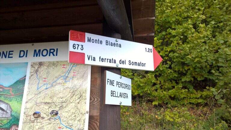
    Starting point is the parking of the Restaurant Pizzeria La Baita, between Ronzo-Chienis and Castellano (Trento). Open road signs on Google Maps. From the parking lot follow the CAI signs 671 on asphalt road to the east; the first crossroad to the left is ignored for the Path Attrezzato de le Laste (which will be the return) and, between the tracks that detach to the right, we start after a few minutes on the path 673, where the Somator Path begins (30' from'auto); wanting, a short deviation on 642 reaches the Malga Somator Refuge.

    ▲The path

    The path always remains quite easy, with some stretches that shrink and become equipped, a couple of easy vertical leaps and a canal. After passing the stretches, continue in view of Mount Biaena, with a beautiful view of the lake (1617 m, 1h 30' from'auto).

    ▲Character and difficulty

    Although known as «ferrata», the climb to Mount Biaena is an easy route, suitable for neophytes and families.

    ▲Period and safety

    GPS tracks (GPX and KMZ) are available; the map of Alto Garda and Valle di Ledro is useful for the area, or Pasubio and Vallagarina 4Land.

    ▲Discipline

    For the return you descend on the east side following the track 671; after about 10' the trail 678 is ignored on the left and continues in the forest with some easy stretches equipped up to a track and at the junction of the ' gone, returning all' car ( approximately 2h 30' totali).

    ▲To match

    Garda offers many similar routes: Ferrata Rio Sallagoni in Castel Drena, la Ferrata Colodri to Arco; on the western side the Susatti a Cima Capi e l'Friendship in Cima Sat; for a higher degree the Marangoni to Mori.

    ▲Gallery
    Technical data
    • DifficultyEasy
    • RegionTrentino-Alto Adige
    • GroupPrealps Gardesane
    • Approach0:30 h
    • Ferrata1:00 h
    • Itinerary (a/r)2:30 h
    • Hardware level difference70 m
    • Route difference315 m
    • Max1617 m
    • Length4,5 Km
  • Ferrata Sass Rigais

    Ferrata Sass Rigais

    Vie Ferrate › Trentino-Alto Adige › Bolzano
    Ferrata Sass Rigais
    Moderately Hard● OpenDescriptionComplexityMapsGallery

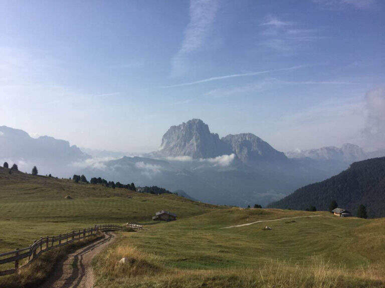
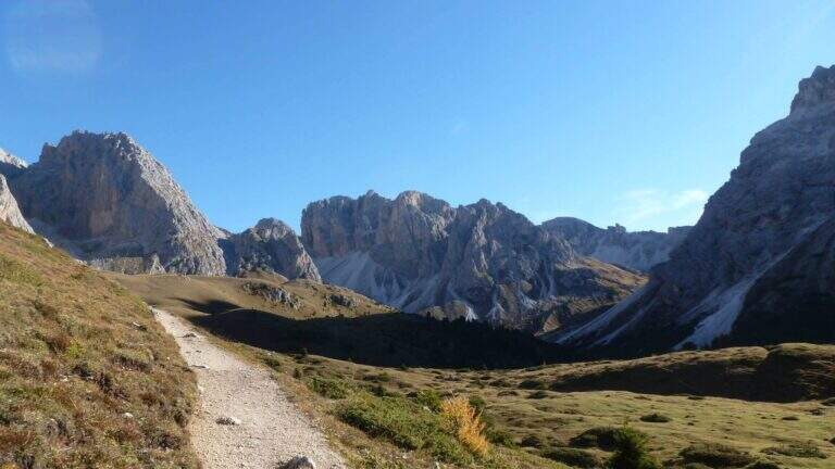
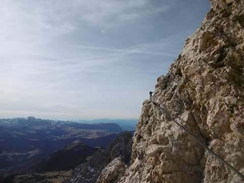
    La Ferrata at Sass Rigais door on the highest peak of Val Gardena and Odle, to 3025 m, combining two equipped routes: the ferrata est e la south ferrata. The difficulties are medium-low on both, but the east has more accentuated vertical traits and it is therefore advisable to go uphill. Approach and return are long and challenging.

    ▲Approach

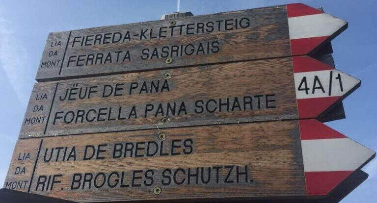
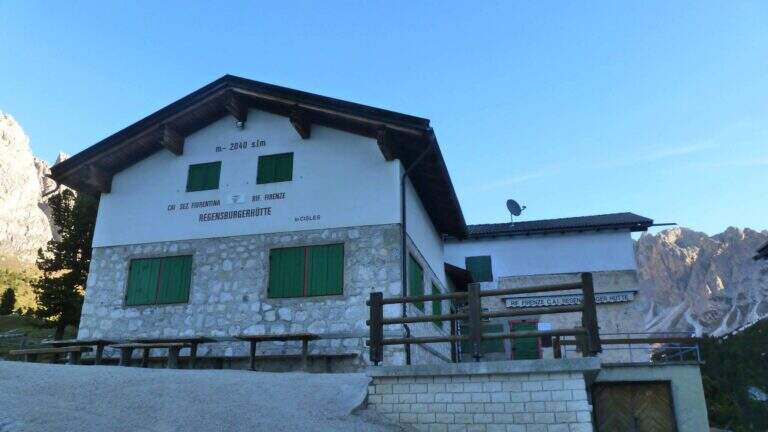
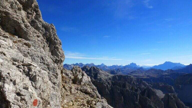
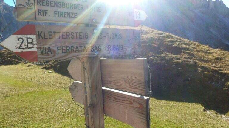
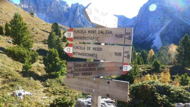
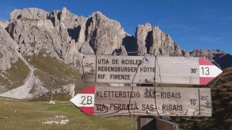
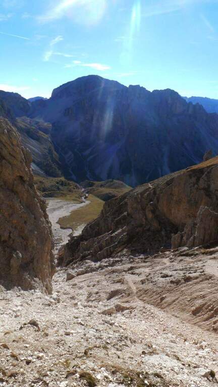
    Starting from the mountain station of the cable car that connects Selva di Val Gardena to the Rifugio Col Raiser (2106 m): from Selva you go towards Santa Cristina to the Strada Ruecia, where are the plants, parking in the wide beach in front. Open road signs on Google Maps. From the upstream station follow signs for Sass Rigais to the north-east, signpost 4, up to the Rifugio Firenze (2040 m), reached in a few minutes of ascents on road. From the refuge the path 13 punta dritto al Sass Rigais fino al bivio presso il Plan Ciautier (2322 m, 1h dalla stazione a monte): qui si può tenere la destra e salire il lungo vallone detritico della Val Salieres (per la ferrata est) oppure la sinistra col segnavia 29 verso la Forcella de Mesdì (per la ferrata sud). In questa relazione si sale dalla est e si scende dalla sud. Tenuta la destra e risalito il vallone detritico tra Sass Rigais e Furchetta, si raggiunge la forcella che li separa (2696 m, 2h 15' totali), con vista sulla Val di Funes; si tiene poi la sinistra per salire su traccia con bolli rossi la placca est fino alla sella d'attacco (2800 m, 2h 30' totali).

    ▲The path

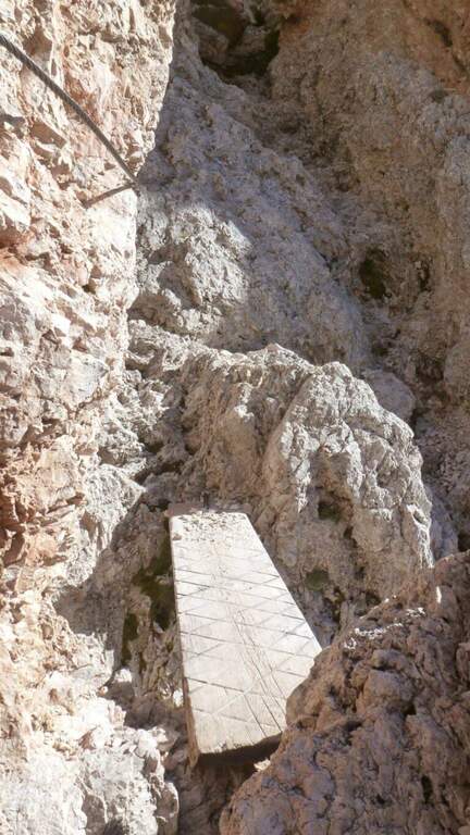
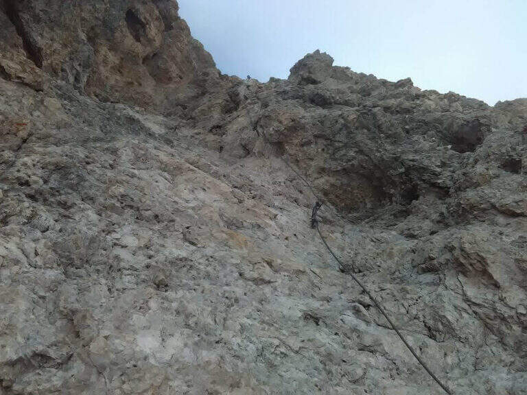
    La east ferrata inizia su roccette ben appigliate, dove il cavo serve da sola autoassicurazione; si supera una fessura e una rampa verso sinistra fino a un punto verticale che si affronta con un breve traverso a sinistra su semplici chiodi e poi in verticale su ampie e solide staffe. Seguono ancora roccette senza difficoltà e un canalino roccioso verso destra; usciti dal canalino si vede la croce sommitale. Una serie di balzi rocciosi alternati a facili roccette porta alla crestina finale e alla croce del Sass Rigais (3025 m, 1h dall'attacco, 3h 30' totali). Per la discesa si imbocca la ferrata sud: ci si dirige a sud lungo una crestina sommitale a tratti non protetta, poi su una lunga serie di roccette, rampe inclinate e balzi di difficoltà medio-bassa con cui si perde rapidamente quota fino a innestarsi in un sentiero ripido; un ultimo balzo con una rampa e un salto più verticale presso una passerella in legno chiude le attrezzature (1h dalla vetta, 4h 30' totali).

    ▲Character and difficulty

    Medium difficulty Ferrata that leads on a three thousand of the Odle-Puez; the combination of a uphill road and a downhill road makes it pleasant also for the expert ferratista.

    ⚠ The approach is long and challenging. Attention to the quota and to the fact that there are no escape routes other than the ferrates themselves: to avoid with unstable time. Nothing prohibits taking the route in reverse direction or getting off the same way uphill.

    ▲Period and safety

    GPS tracks (GPX and KMZ) are available; the map of Val Gardena, Val di Funes and Alpe di Siusi or Val Badia di 4Land is useful for the area.

    ▲History

    Sass Rigais is the highest mountain in Val Gardena and Odle. Reinhold Messner went up with his father only five years, well before the construction of the via ferrata.

    ▲Discipline

    From the end of the equipment you descend to the valley for a gravel valley towards the Plan Ciautier; at a crossroads you can può keep the right for a shortcut marked towards the Col Raiser (reent about 1h, totale about 6h).

    ▲To match

    In Val Gardena you can join the ferrates Small e al Gran Cir near Selva; towards the Sella Group the overview Tridentine; towards Passo Sella, in an increasing order of difficulty Ferrata at the Col Rodella, la Schuster at Sassopiatto e la of the Mesules at the Piz Selva.

    ▲Gallery
    Technical data
    • DifficultyModerately Hard
    • RegionTrentino-Alto Adige
    • GroupOdle
    • Approach2:30 h
    • Ferrata1:00 h
    • Itinerary (a/r)6:00 h
    • Hardware level difference225 m
    • Route difference870 m
    • Max3025 m
    • Length9,7 Km
  • Ferrata Selvaggio Verde (Val Grande)

    Ferrata Selvaggio Verde (Val Grande)

    Vie Ferrate › Piemonte › Verbano-Cusio-Ossola
    Ferrata Selvaggio Verde (Val Grande)
    Moderately Hard● OpenDescriptionComplexityMapsGallery

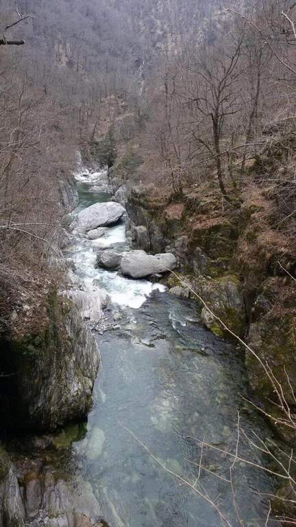
    Inaugurated in 2022, la Ferrata Selvaggio Verde along the long bore of the Rio Val Grande connecting with many stretches equipped «In the Piana» e «Ponte Velina». Non è né a modern né ferrata; a dolomitic way, but a long itinerary «selvaggio» in the heart of one of the più parks; beautiful in the Central Alps. Difficultly accessible on the day, it should be broken in two days using d' points; support along the route. The classification « always difficult to understand; is valid only for the equipped sections: to make it really challenging are the length and distance, for experienced and well trained hikers.

    ▲Approach

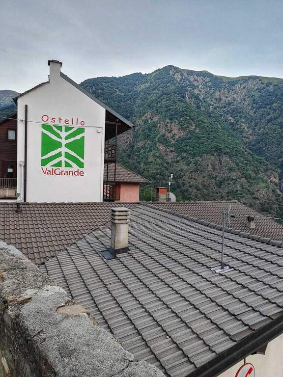
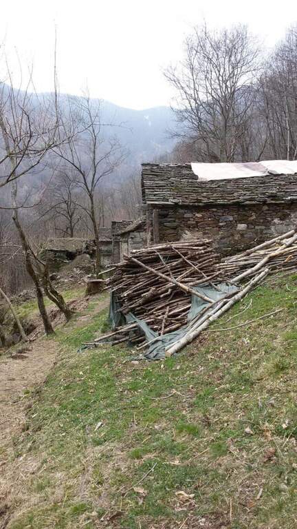
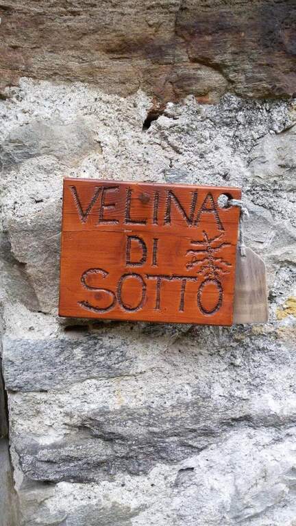
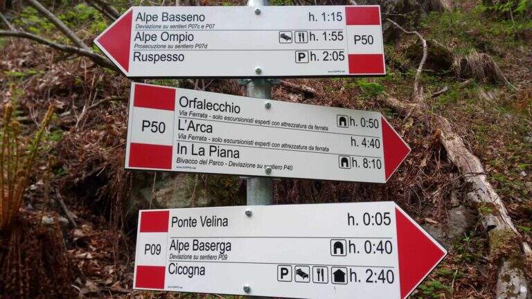
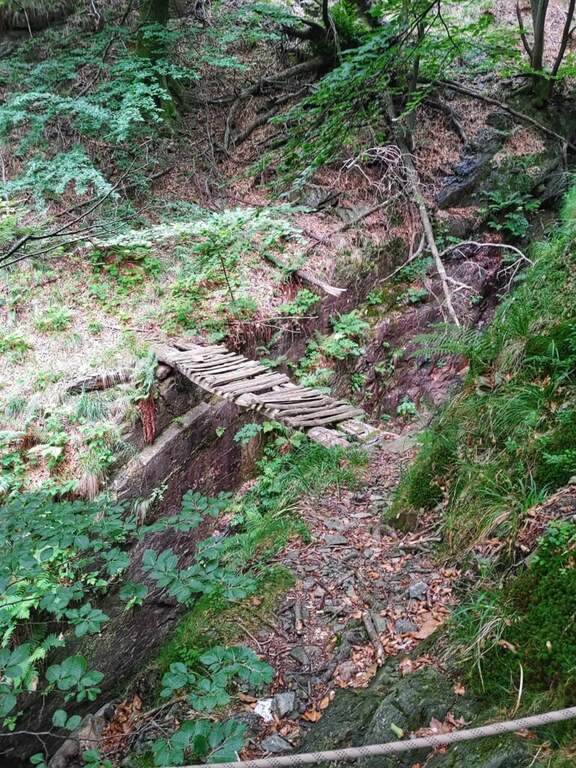
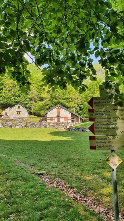
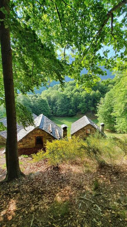
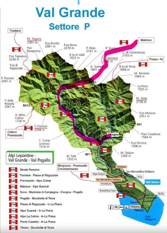
    L' itinerary can be arranged by più points; here we consider the departure from the village of Cicogna (VB) towards In La Piana and then down to the Loana Valley. Open road signs on Google Maps. The non è : l' ideal è have two cars. At the cemetery of Cicogna there is a dirt road for about fifteen minutes on a false plateau, over huts and alpine pastures, tillché it becomes a path that enters the park of the Val Grande with a series of uphills between ruins and old huts (some stretches già equipped for safety). Enjoy the Velina stream, you reach the ' Velina mountain pasture and then the Ponte Velina (about 3h from the parking lot), where the real route begins.

    ▲The path

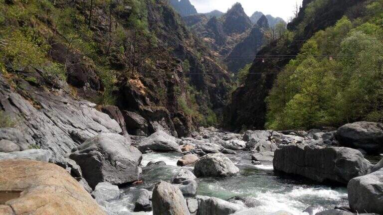
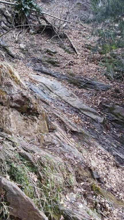
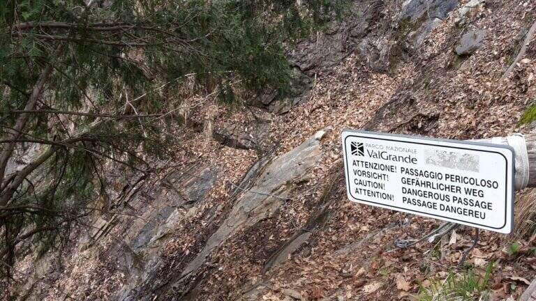
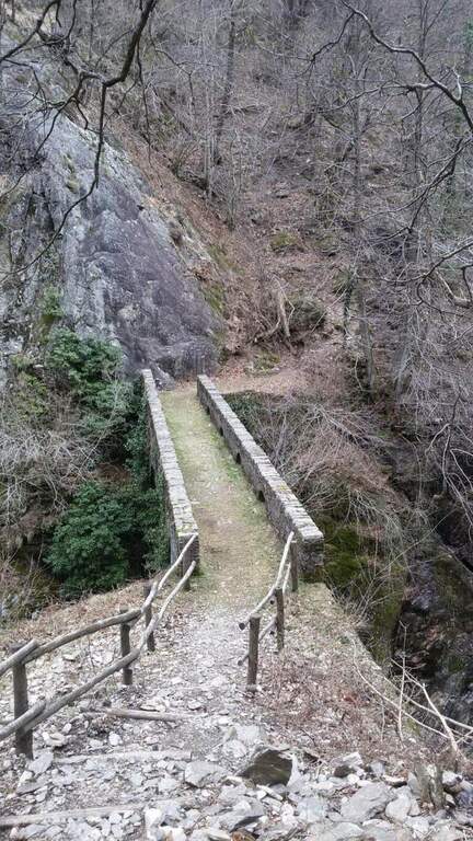
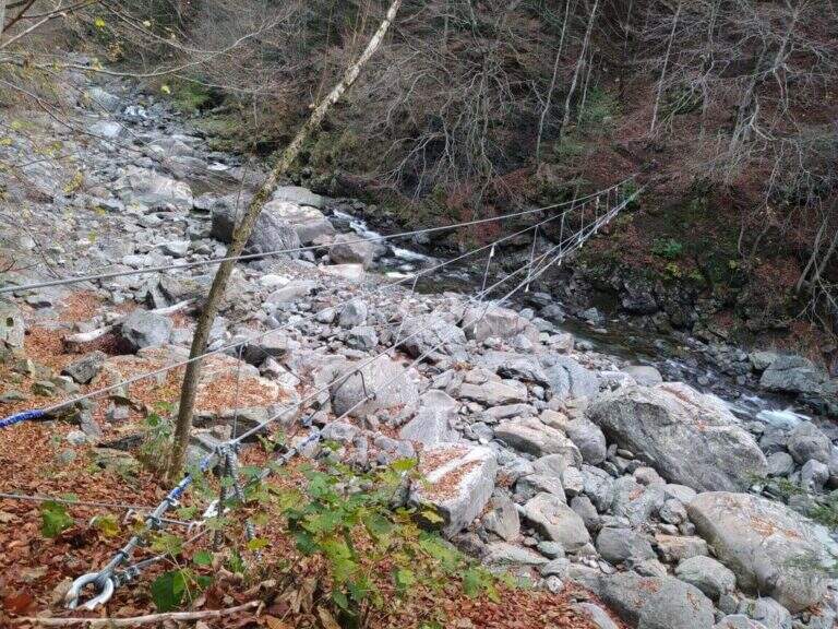
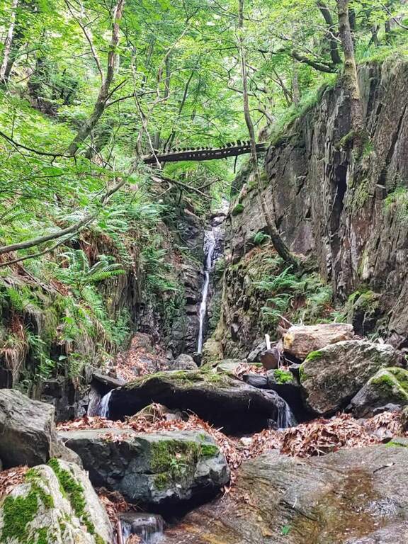
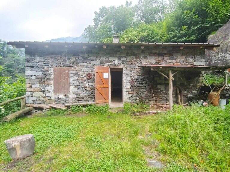
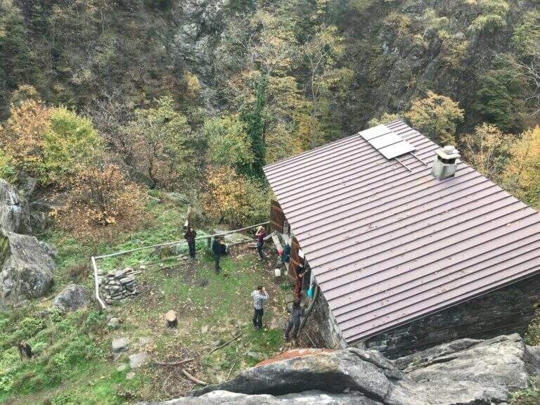
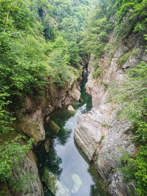
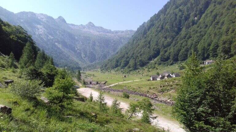
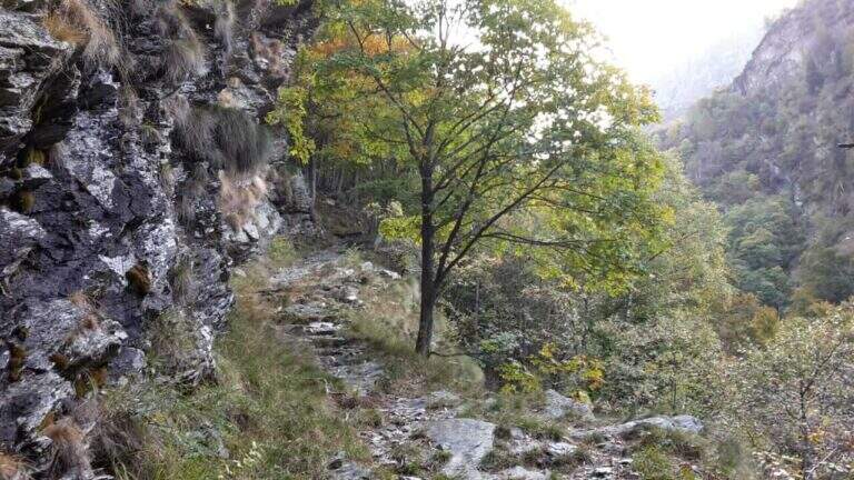
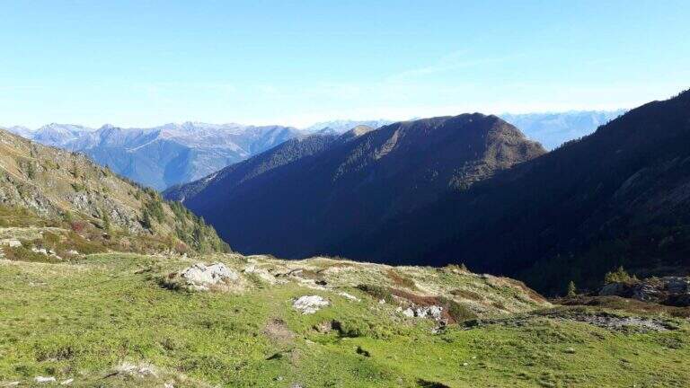
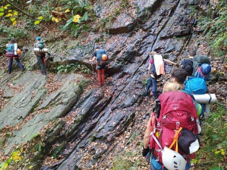
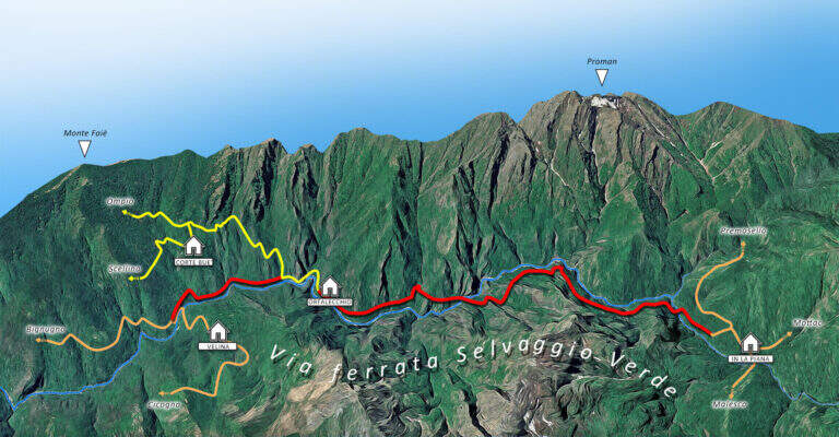
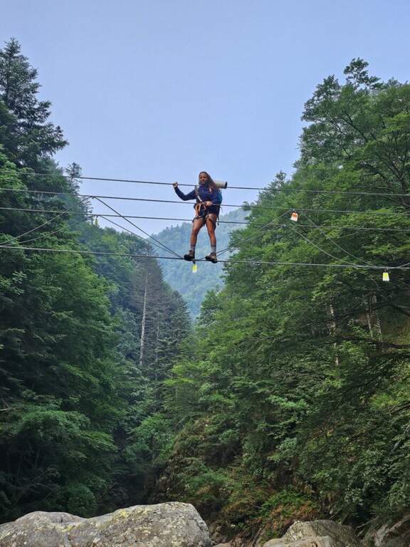
    The fully equipped stretch takes place between Ponte Velina (478 m) e Alpe In La Piana (895 m), faithfully following the Rio Val Grande in an isolated and wild environment. The distance is about 11 km for about 450 m of altitude difference, but among the continuous climbs the real difference is much greater. The equipped path is marked P50 and alternating stretches exposed to other exposed unprotected, with 2 suspension bridges, several wooden walkways rather old (to check its on-site hold), ladders and long stretches of path. About a third of the route, after 2h 30' from Ponte Velina, there is a stone bivouac in localities; Orphalecchio (590 m); just before a possible return route to Ompio and Sciellina, on the left, avoids the hole and the equipped sections. The road continues along the valley between very green walls, cliffs and exposed paths, with suspended bridges and a couple of cheeks; it is necessary to follow the red stamps and a trace at times hidden by the high grass. After about 7-8 hours from' start of the equipped section you reach Alpe In La Piana, where you can può bivacking (about 10h total).

    ▲Character and difficulty

    More than a ferrata, it is a long wild trekking with numerous stretches equipped, exposed and at times slippery.

    ⚠ Itinerary long and isolated: the support points are not managed, so they serve food, sleeping bag and the necessary for the bivouac (the huts usually have stove, tables and tables). Cell phones have no cover on the whole route. Several wooden catwalks are old: check the seal on the spot. The area is a protected area (a section falls into the Monte Pedum Integral Reserve, in ZSC and ZPS of the Natura 2000 Network): do not leave waste.

    ▲Period and safety

    Given the absence of managed support points it is highly recommended to bring a map of the area to orientation (for cartography, map of Val Grande). Alternative starting points: Bignugno, Ruspesso or Sciellina; alternative return to Premosello or Mottac. The itinerary can also be routed in the opposite direction. An official GPS track is not available for this route.

    ▲Discipline

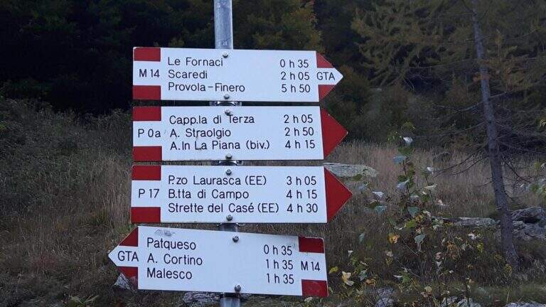
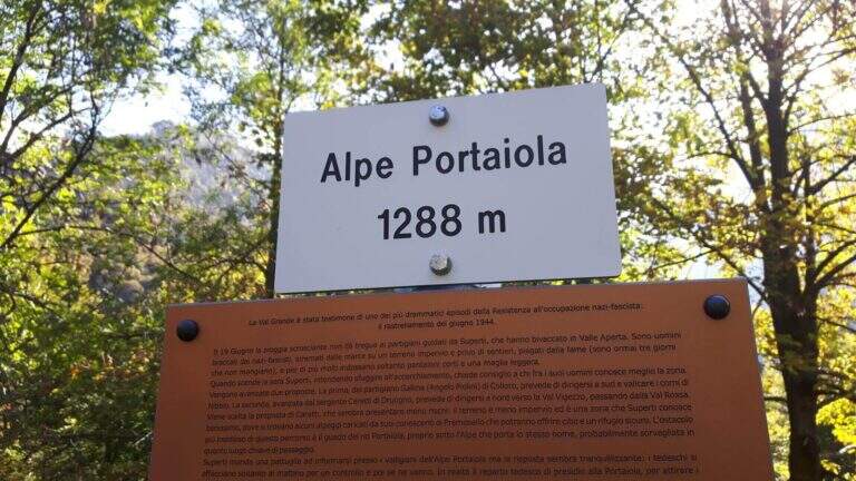
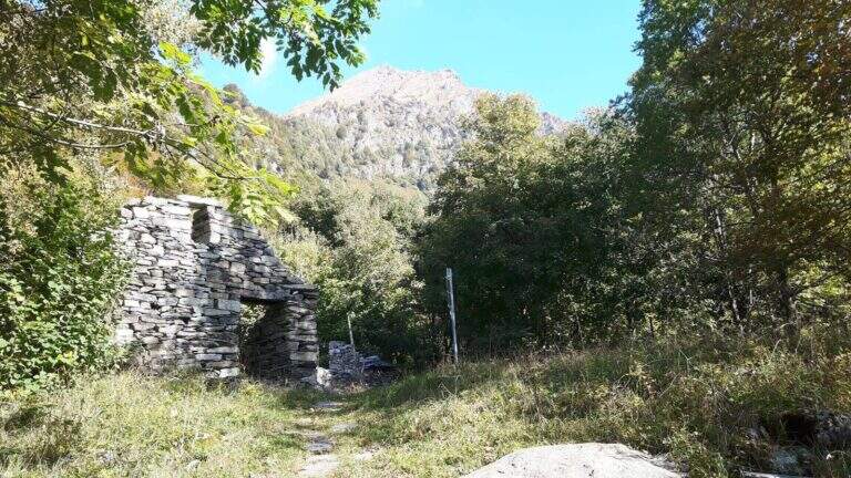
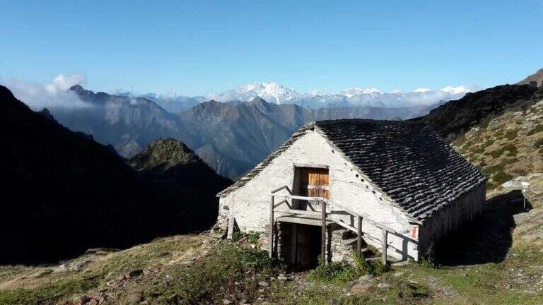
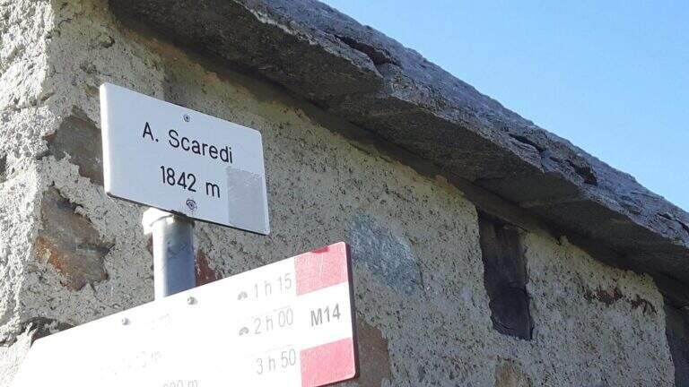
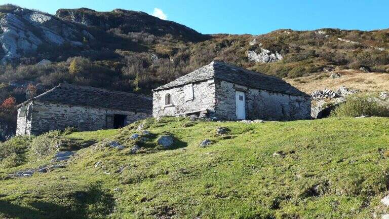
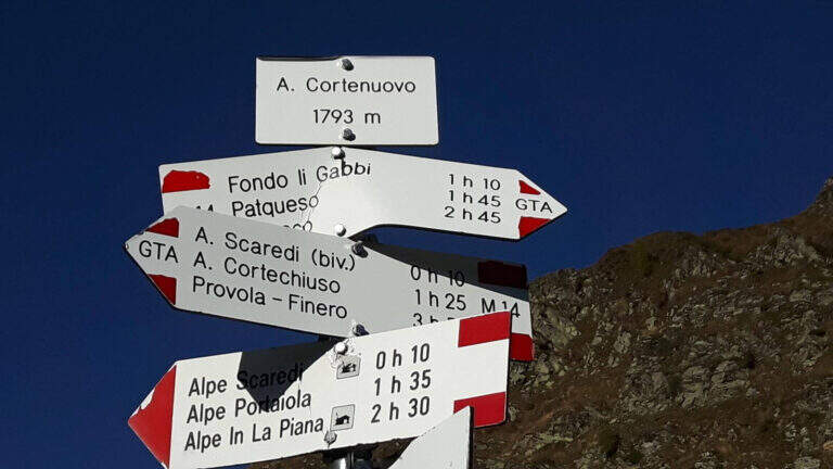
    Da Alpe In La Piana, per raggiungere il parcheggio in Valle Loana si calcolano circa 4h: si segue il sentiero P30 verso Alpe Scaredi e poi l'M14 verso Fondo Li Gabbi, dapprima in salita toccando Alpe Portaiola (1288 m, ruderi), Alpe Scaredi (1842 m) e Alpe Cortenuovo (1793 m), quindi in discesa (circa 14-15h complessive).

    ▲To match

    In Val Grande there are no real ferrates; wanting, between the streets of the Verbano and the Ossola signal the new Ferrata di Montorfano e la Ferrata Walserfall not far from Cicogna; further north the long climb of Ferrata at Pizzo d'Andolla; on Lake Maggiore Picasas e la Miccia near Baveno.

    ▲Gallery
    Technical data
    • DifficultyModerately Hard
    • RegionPiedmont
    • GroupVal Grande
    • Approach3:00 h
    • Ferrata8:00 h
    • Itinerary (a/r)15:30 h
    • Hardware level difference450 m
    • Route difference1500 m
    • Max1842 m
  • Ferrata Sci Club 18 (Monte Faloria)

    Ferrata Sci Club 18 (Monte Faloria)

    Vie Ferrate › Veneto › Belluno
    Ferrata Sci Club 18 (Monte Faloria)
    Very difficult● OpenDescriptionComplexityMapsGallery

    La Ferrata Sci Club 18 climbs from Monte Faloria, above Cortina d'Ampezzo, with an itinerary ripido, athletic and very difficult. The via è vertical, exposed throughout the track and with challenging passages that often force to traction on the cable: & free; reserved for trained and experienced hikers. The return is also possible with the cable car.

    ▲Approach

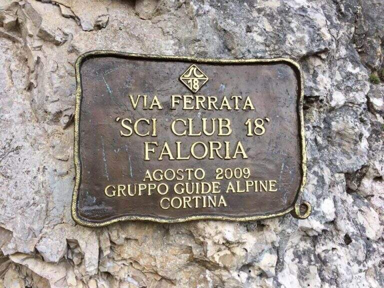
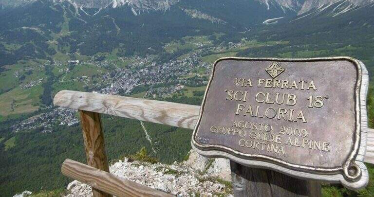
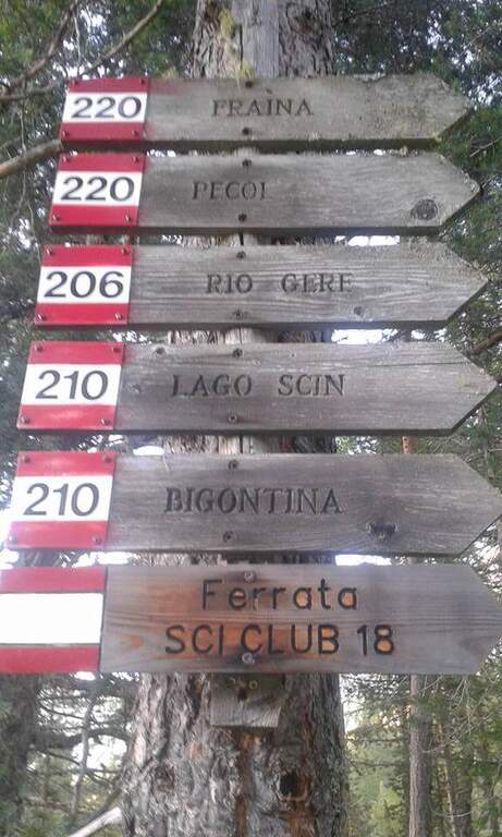
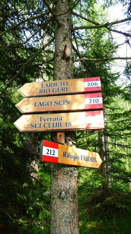
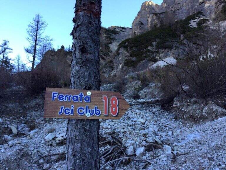
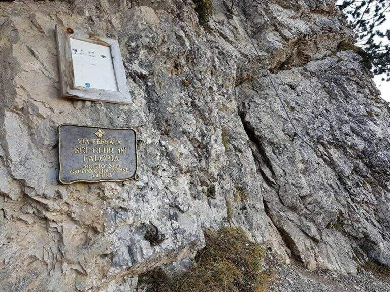
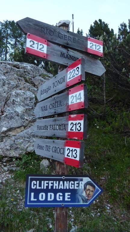
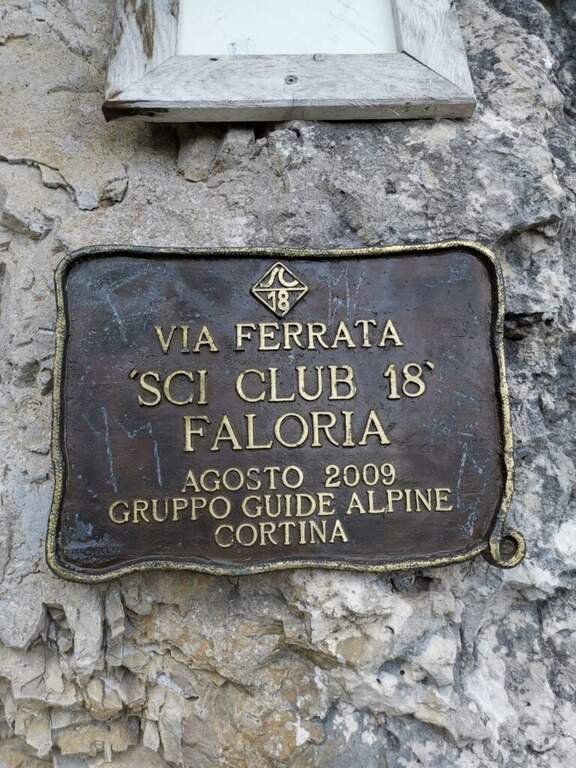
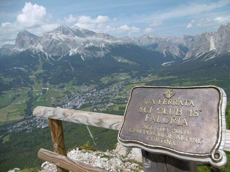
    It starts from the locality; Sompiei, above Cortina: from the center take the Regional Road of the Dolomites towards Misurina/Auronzo and, after less than a kilometre, before the sign «Alverà», a road on the right; just before the cable car a dirt road takes off to the left and leads to the parking lot (attention to the private areas). Open road signs on Google Maps. From the parking lot you go east towards the mountain station of the cable car to the intermediate station Mandres; from here the path 206, on a slight ascent, comes out from the wood and climbs steeply towards the wall of the Faloria. Following the abundant signs you leave the 206 holding the right until all' attack of the Ski Club 18, signaled by a metal plate with the date of construction (1h from the parking lot).

    ▲The path

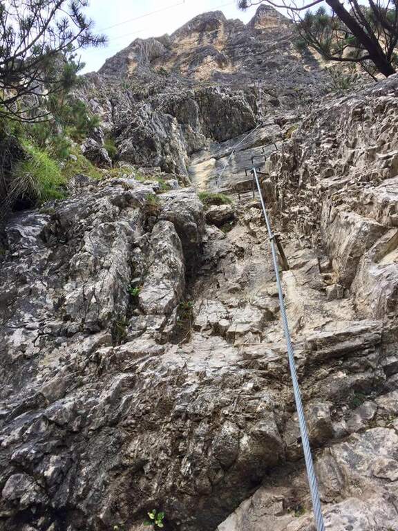
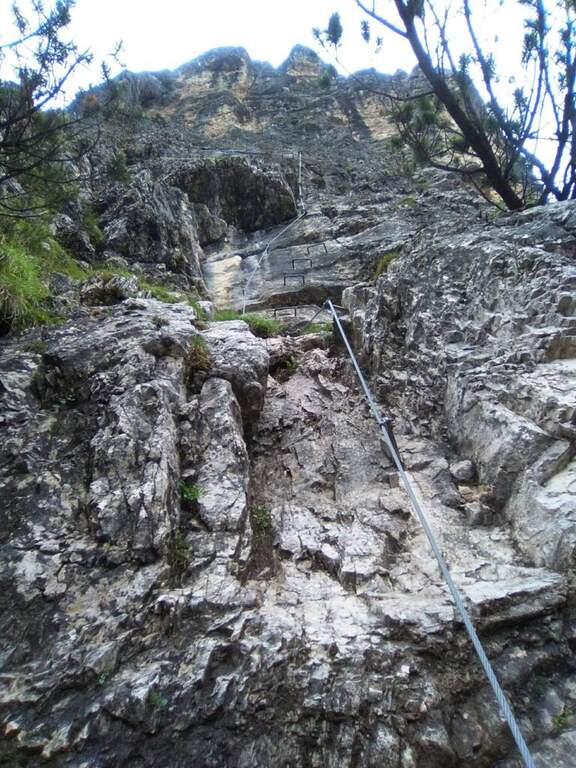
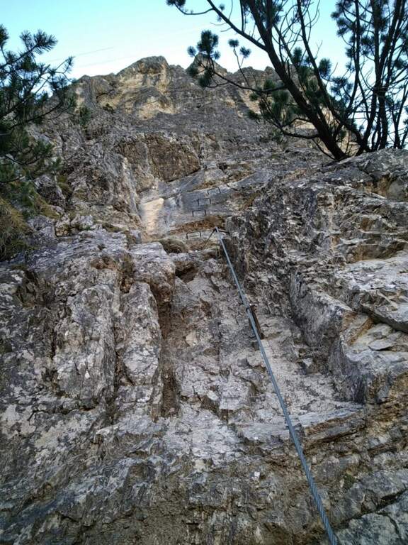
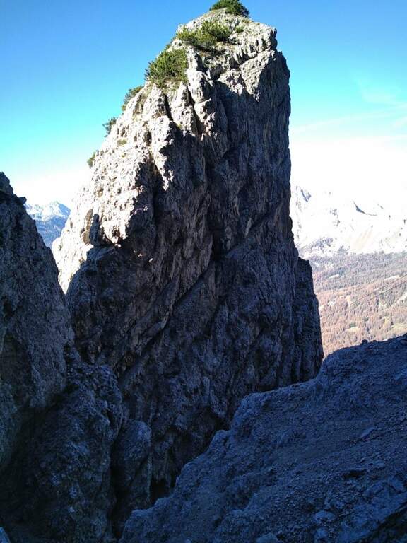
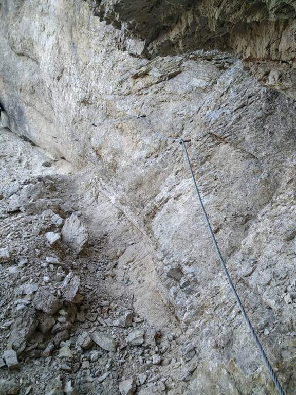
    L'attacco è subito verticale: i primi due metri richiedono una trazione, poi compaiono appoggi per i piedi. Superato il primo balzo, ci si trova sotto una parete liscia sbarrata da un tetto roccioso, che si aggira piegando a destra con solide staffe; si continua a guadagnare quota alternando staffe e appoggi su un tratto leggermente strapiombante, poi si piega a destra in una cengia fino a uno spigolo. Aggirato lo spigolo si risale una lunga parete liscia dove in più punti, mancando appigli, si sale trazionando sul cavo (circa 20 m di placca) fino a un terrazzino di sosta. Seguono un breve tratto appoggiato e un traverso ascendente verso destra su roccia levigata, un nuovo spigolo dopo un'esile cengia, e un tratto verticale; in alto la fune piega a destra su un traverso esposto sostenuto da staffe, fino a una cengia panoramica proprio sotto la funivia del Faloria. Si affronta poi un tratto verticale più appigliato, si scende a un canalino dal fondo instabile e, oltre una cengia, si risale uno spigolo che porta a una placca verticale decisamente impegnativa: le staffe sono distanti e la roccia molto levigata, rendendo i passaggi atletici. Si supera un tetto con una breve scaletta, un terrazzino, altri metri verticali impegnativi, poi un camino arrampicabile in spaccata e una fessura da risalire in spaccata fino a un ampio balcone panoramico sulle Tofane. L'ultima sezione percorre una cengia in salita verso sinistra fino a un imponente spigolo a forma di diedro, fittamente attrezzato di staffe su entrambi i lati; si esce sul lato destro in forte esposizione, si supera un tetto roccioso più atletico con una staffa, poi cenge, un salto verticale attrezzato, un canalino detritico non protetto e una forcellina; dalla forcellina un tratto verticale con staffe porta alla cresta, che si percorre fra brevi tratti attrezzati fino al termine della via (2h dall'attacco, 3h totali).

    ▲Character and difficulty

    Atypical Ferrata for the Dolomites: it does not carry on a real summit, has recent equipment with well-drawn cable and abundant but not excessive brackets, and cones on the tokens that increase safety — important on such a vertical way, where a possible fall factor can have serious consequences. It is sometimes criticized for the difficulty that solicits the arms, forcing them to pull on the cable.

    ⚠ Via molto difficile, verticale ed esposta lungo tutto il tracciato, atletica e faticosa per le braccia: solo per ferratisti esperti e allenati. Non è percorribile in discesa.

    ▲Period and safety

    GPS tracks (GPX and KMZ) are available; the map of Cortina and the 4Land Dolomites is useful for the area.

    ▲Discipline

    From the end you are in sight of the refuge Faloria, where the cable car from Cortina arrives. Two options: walk down the trail at the crossroads 212 verso destra in direzione Mandres (dapprima ripido poi più dolce) fino al bivio dell'andata presso la stazione intermedia, quindi a ritroso (1h 30' dal termine, 4h 30' totali); oppure prendere la funivia e scendere alla stazione intermedia, poi a ritroso per il sentiero di avvicinamento (20' dalla stazione intermedia).

    ▲To match

    A challenging itinerary that hardly leaves energy for a second route in the day. From Cortina there are many routes: towards Auronzo la White e la Dibona al Cristallo; towards Dobbiaco the Third Cengia del Pomagagnon, la Bo, la Bullshit, il Path to the Fanes Falls e la Renè de Pol; to the south Ferrata dei Caprioli san Vito di Cadore.

    ▲Gallery
    Technical data
    • DifficultyVery difficult
    • RegionVeneto
    • GroupHeadquarters
    • Approach1:00 h
    • Ferrata2:00 h
    • Itinerary (a/r)4:30 h
    • Hardware level difference340 m
    • Route difference673 m
    • Max2123 m
    • Length6,5 Km
Need help? Write to us!