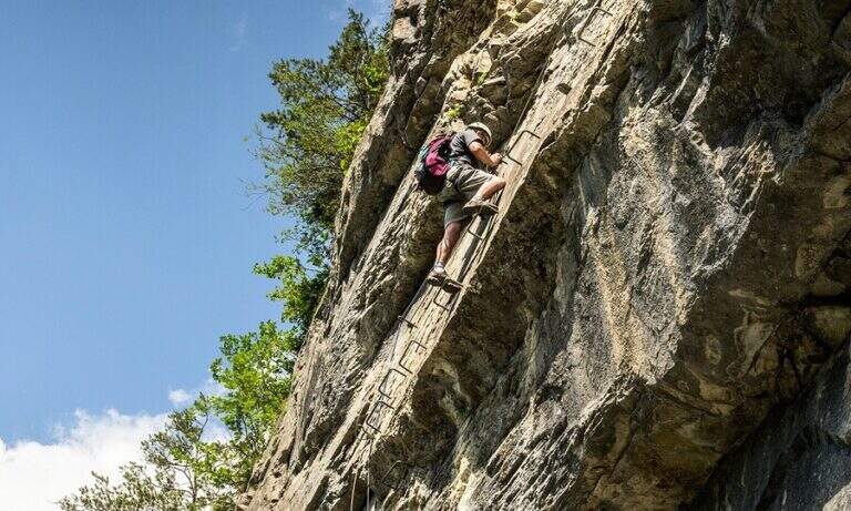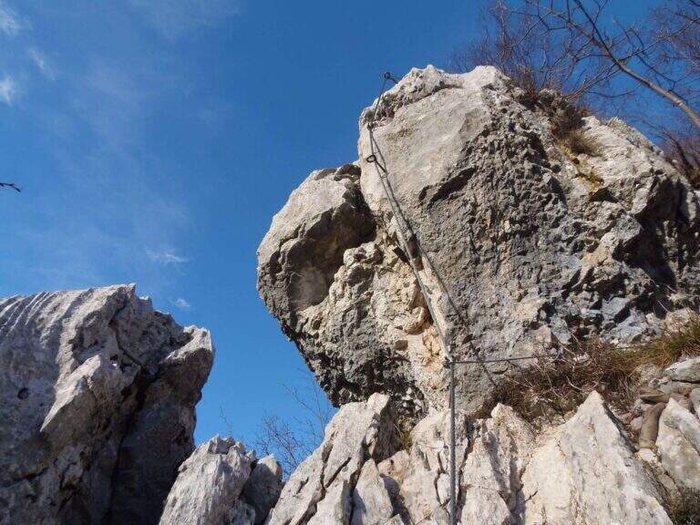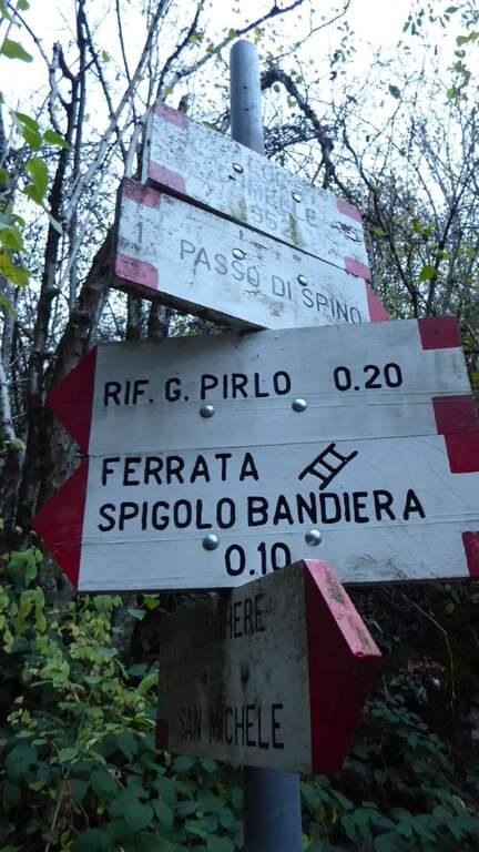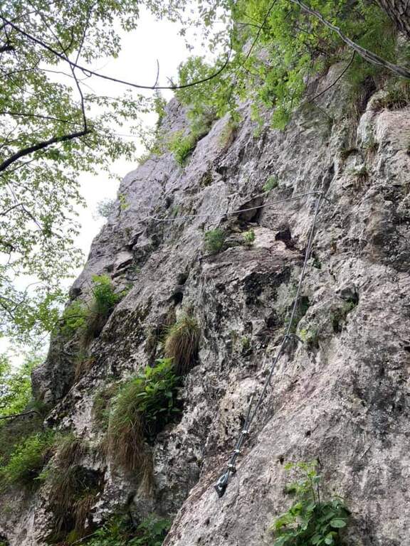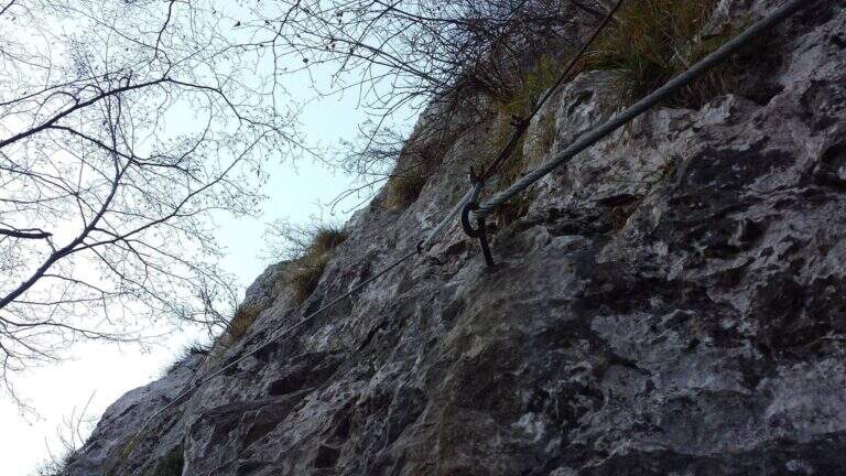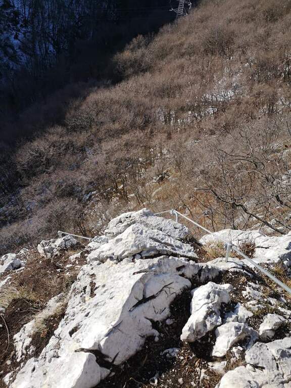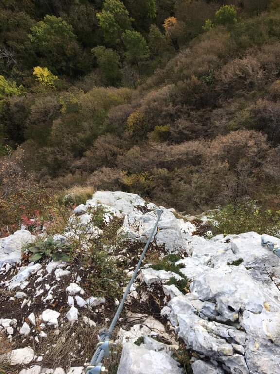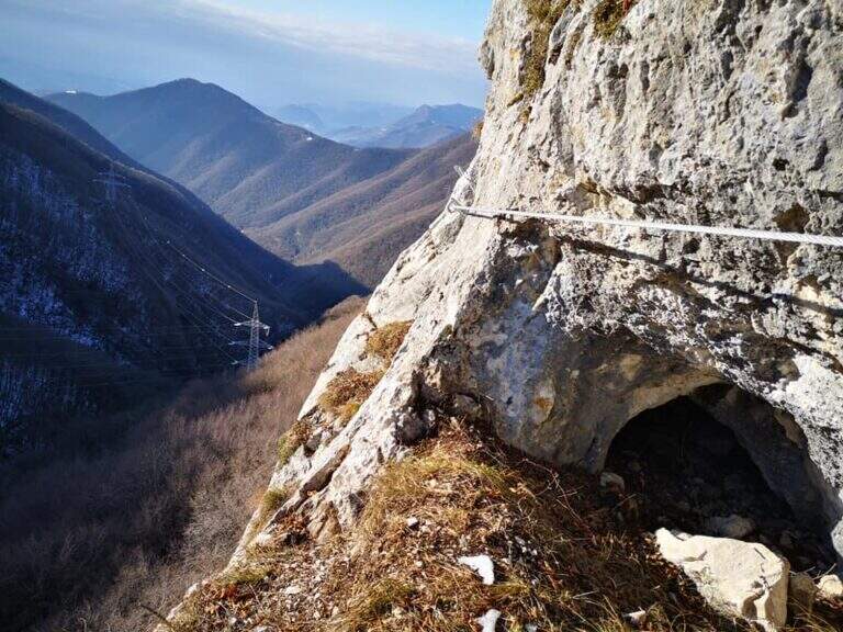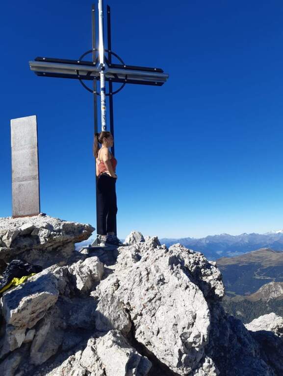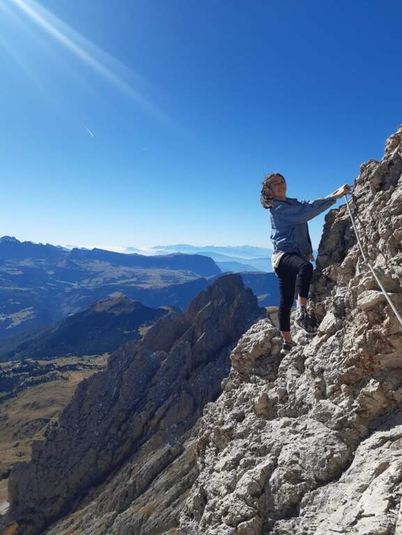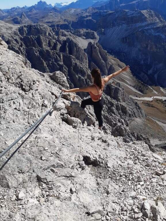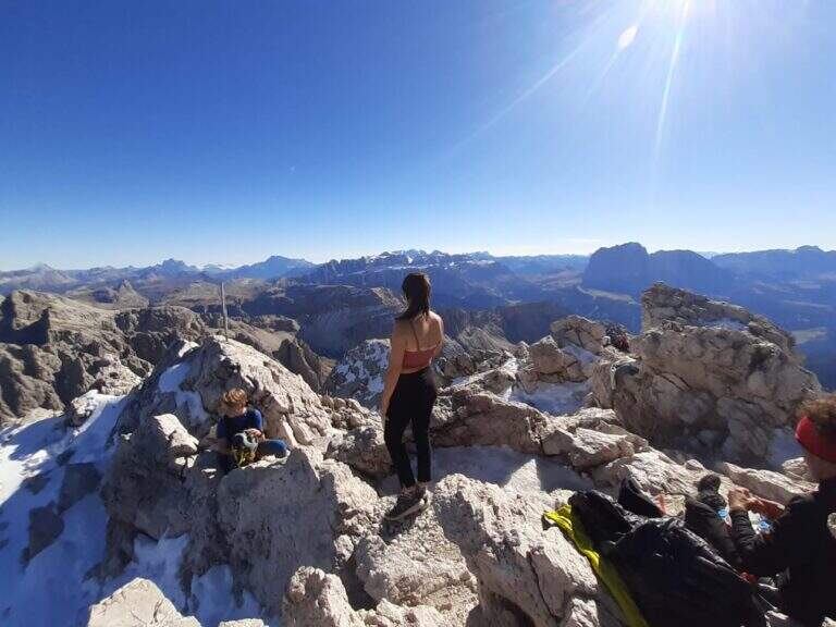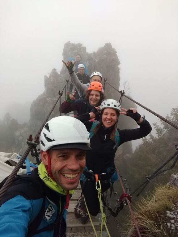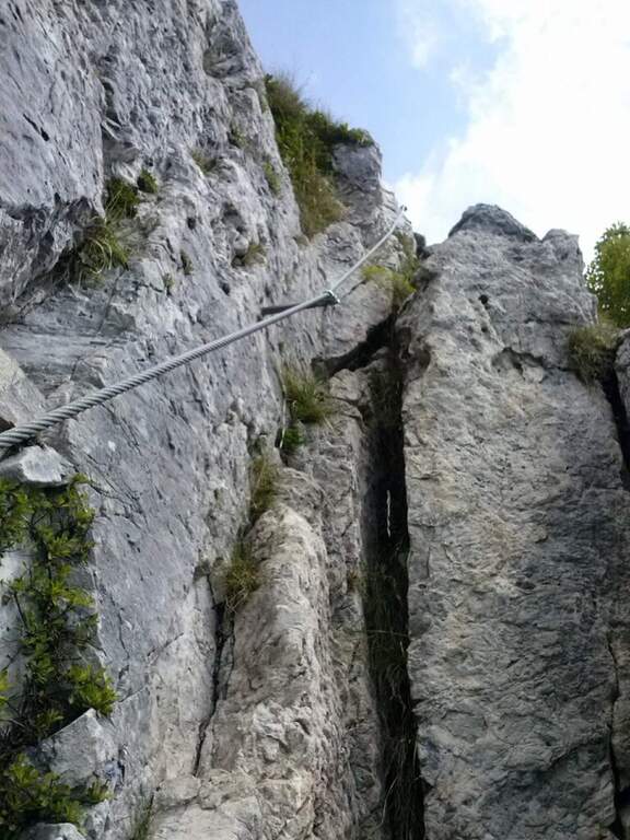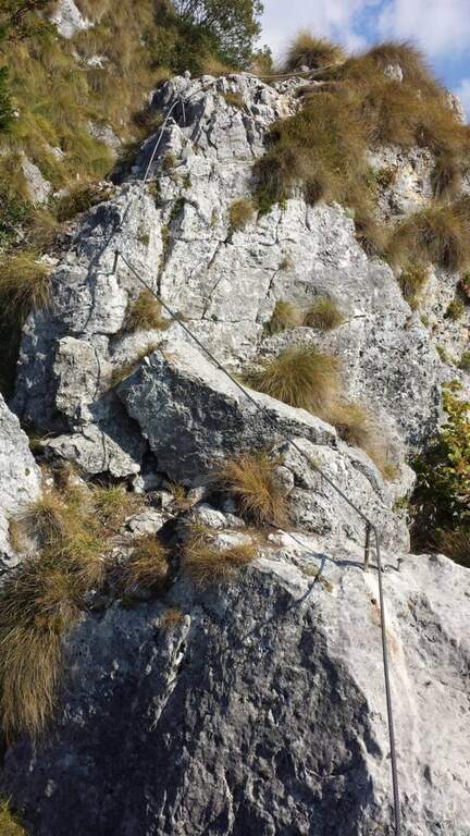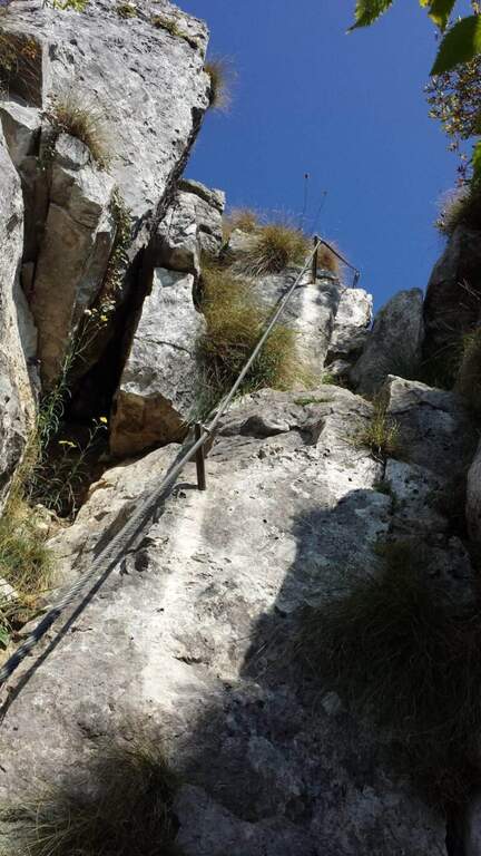
Difficoltà: Moderatamente Difficile

  • Ferrata Strada degli Alpini

    Ferrata Strada degli Alpini

    Vie Ferrate › Trentino-Alto Adige › Bolzano
    Ferrata Strada degli Alpini
    Moderately Hard● OpenDescriptionComplexityMapsGallery

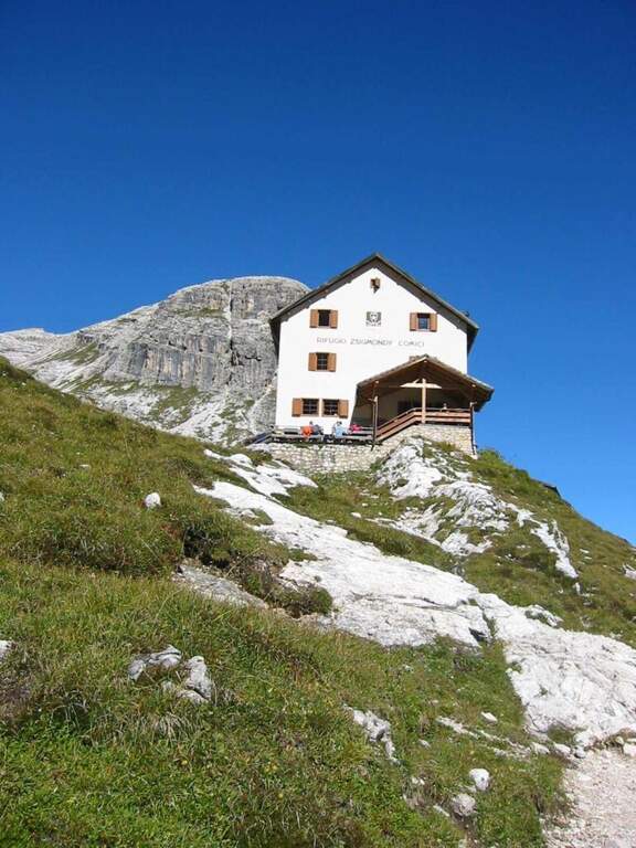
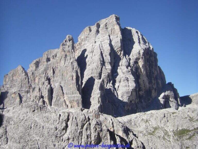
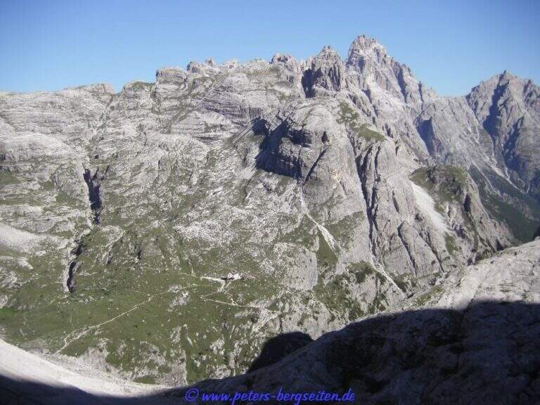
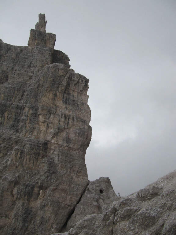
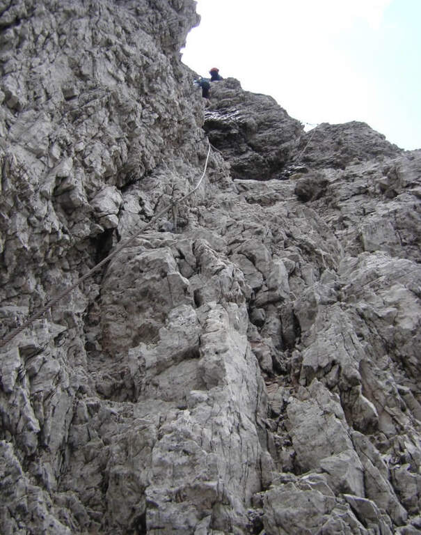
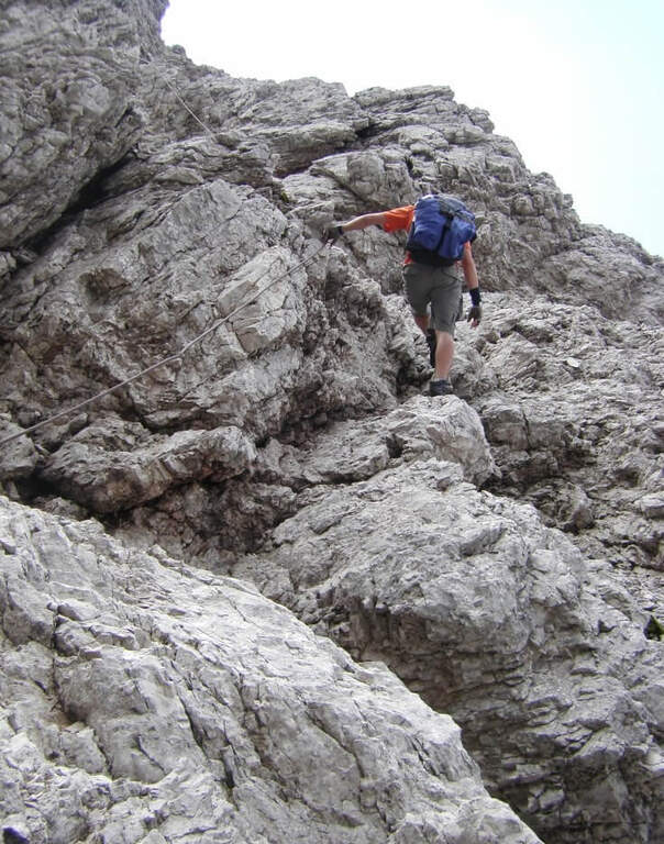
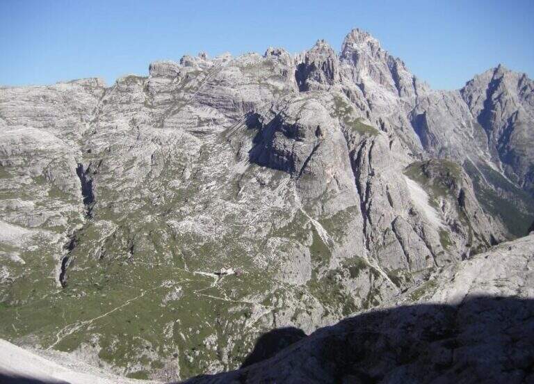
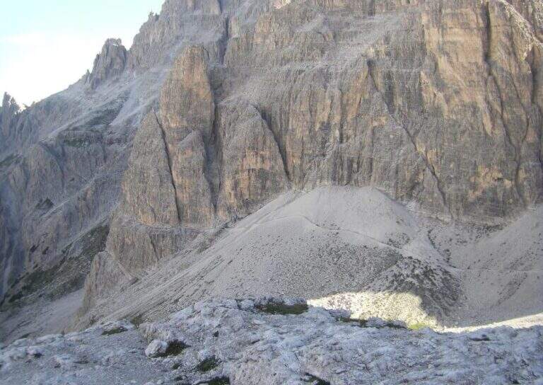
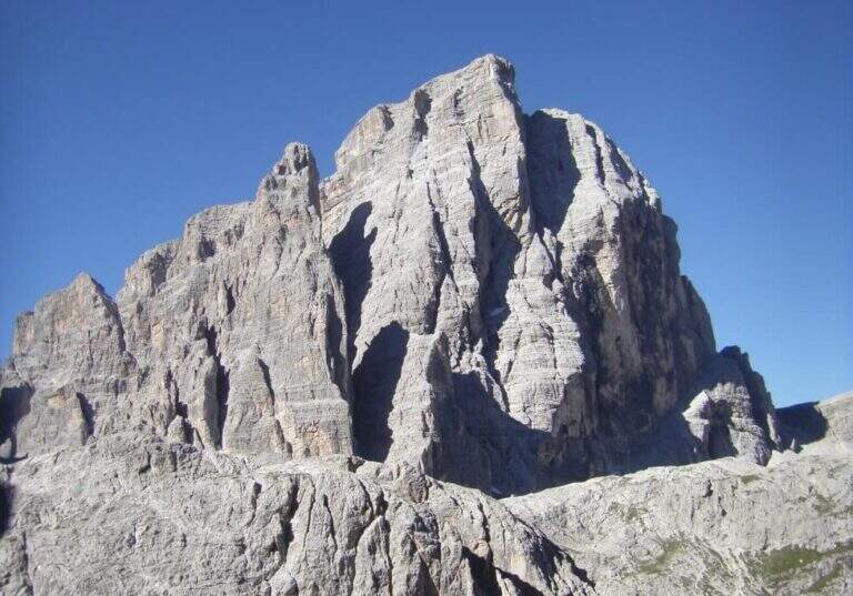
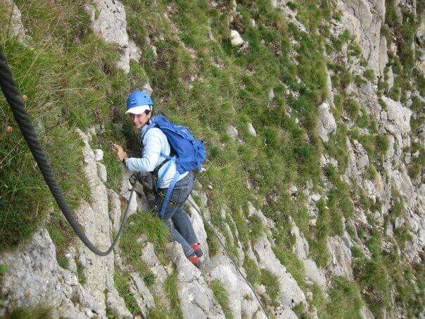
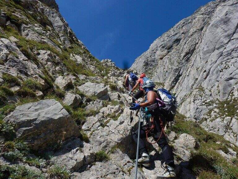
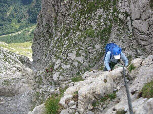
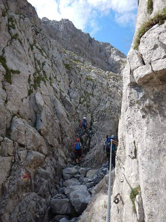
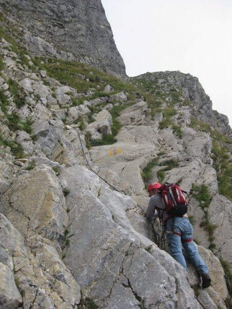
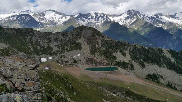
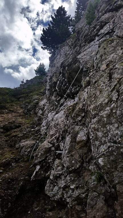
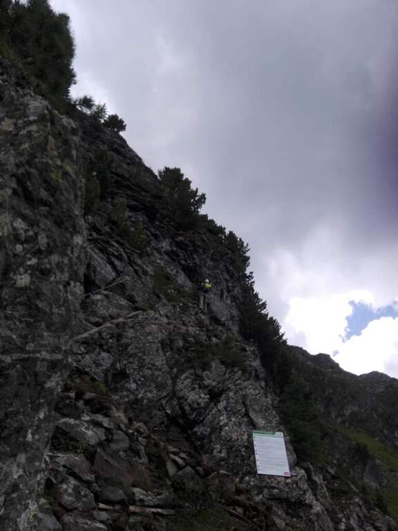
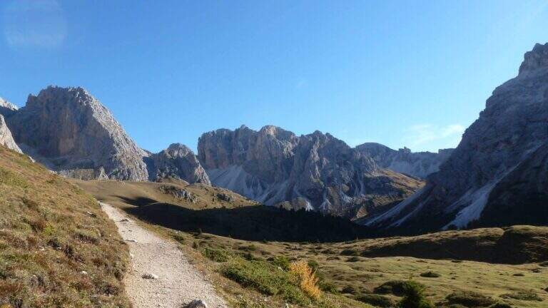
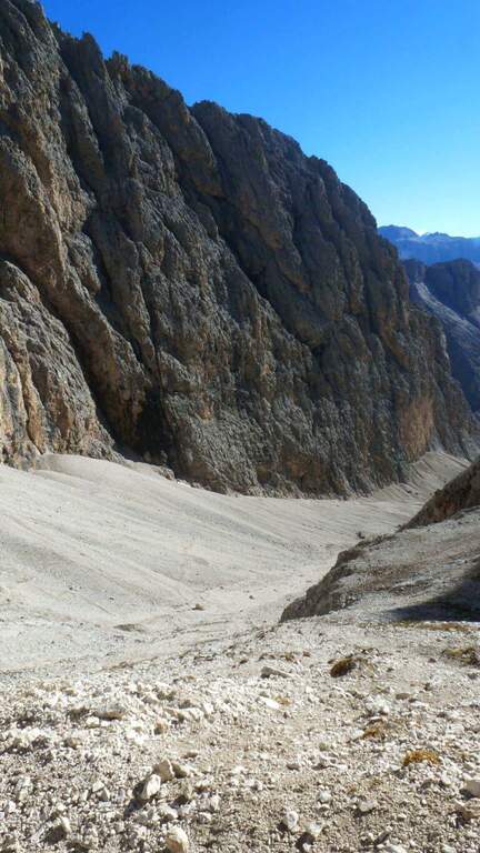
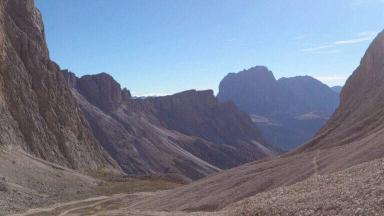
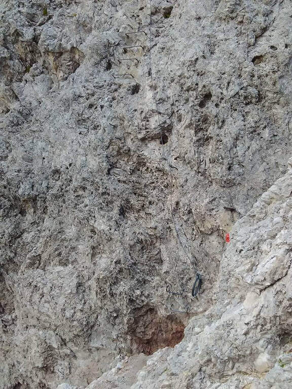
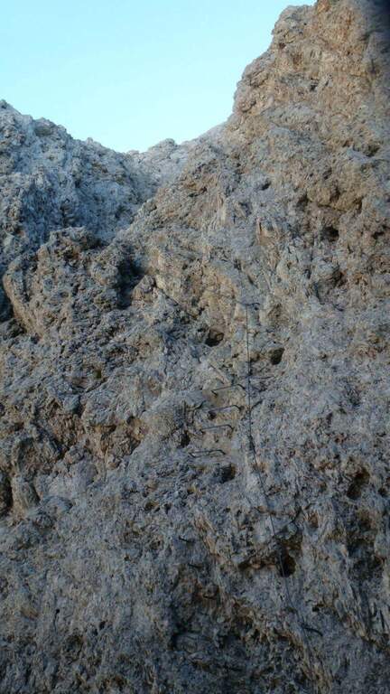
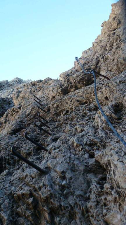
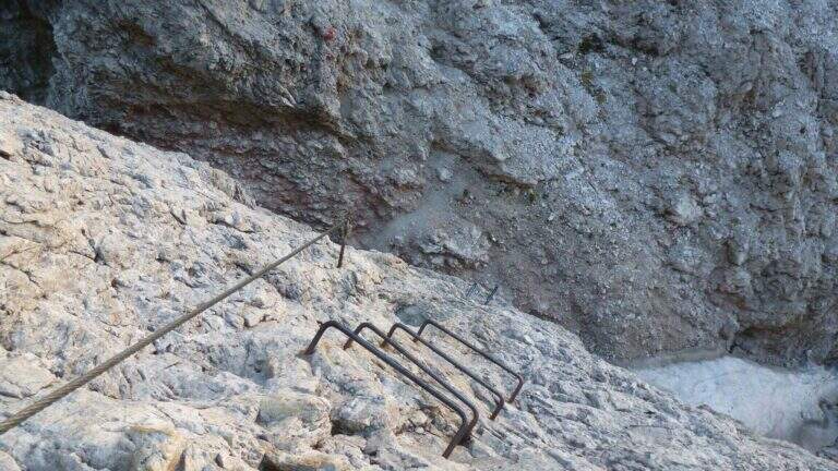
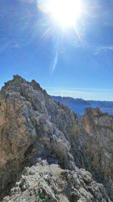
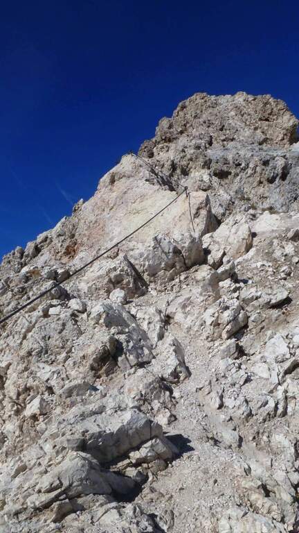
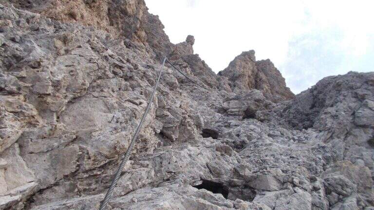
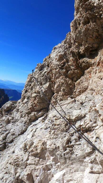
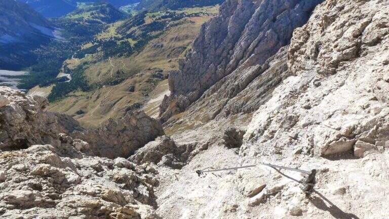
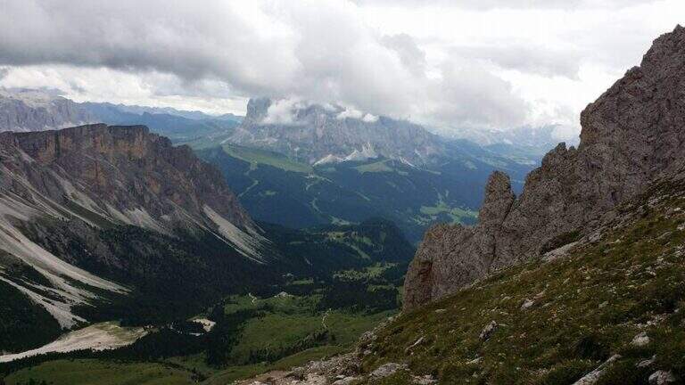
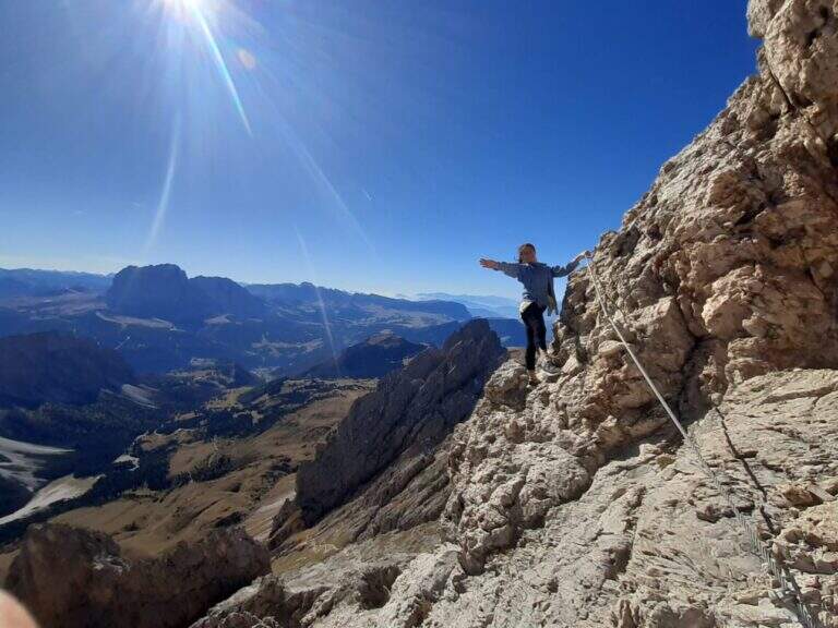
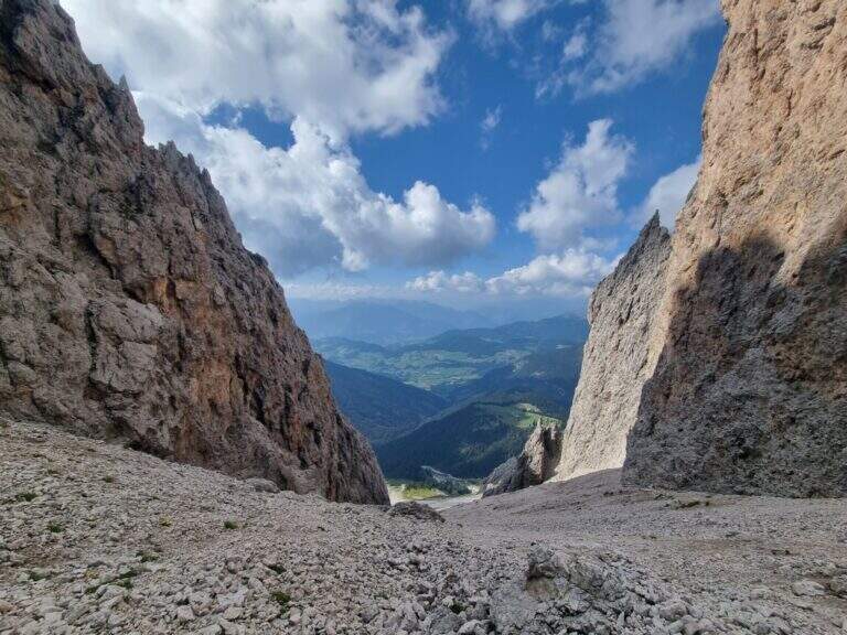
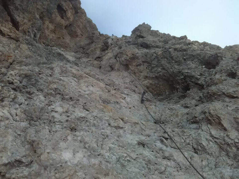
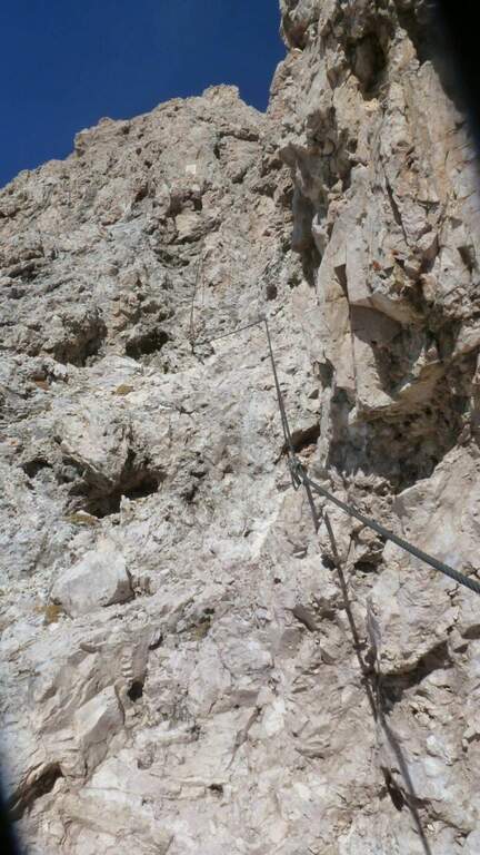
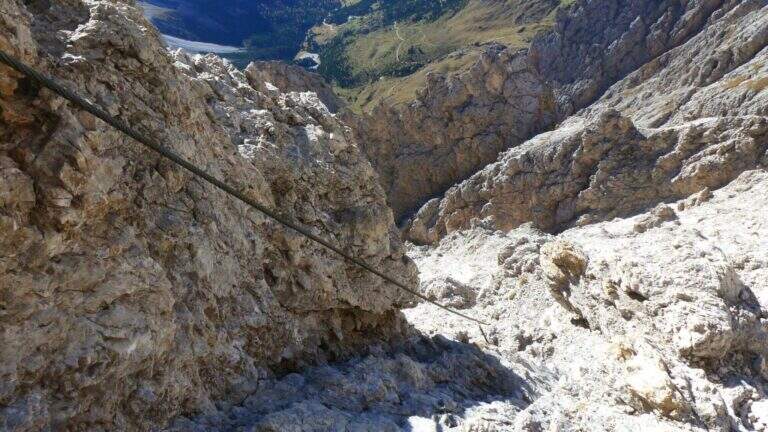
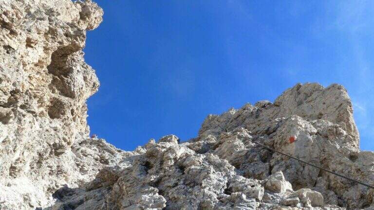
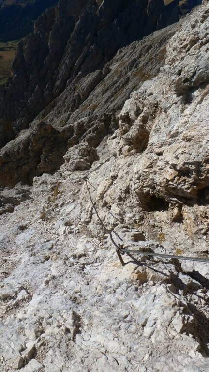
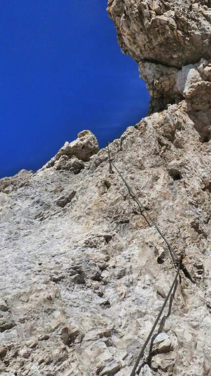
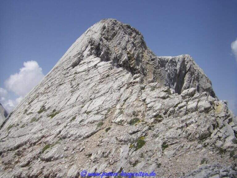
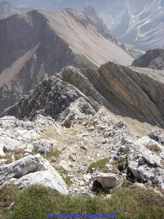
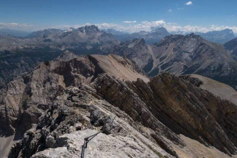
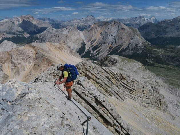
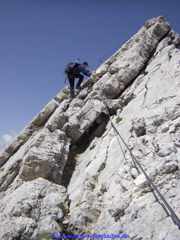
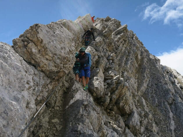
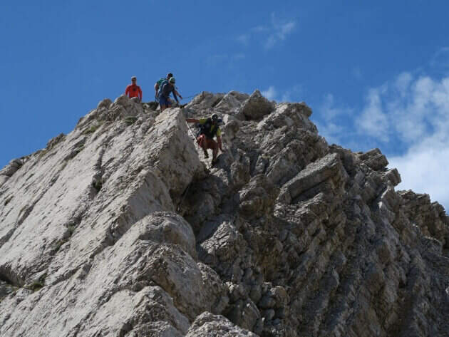
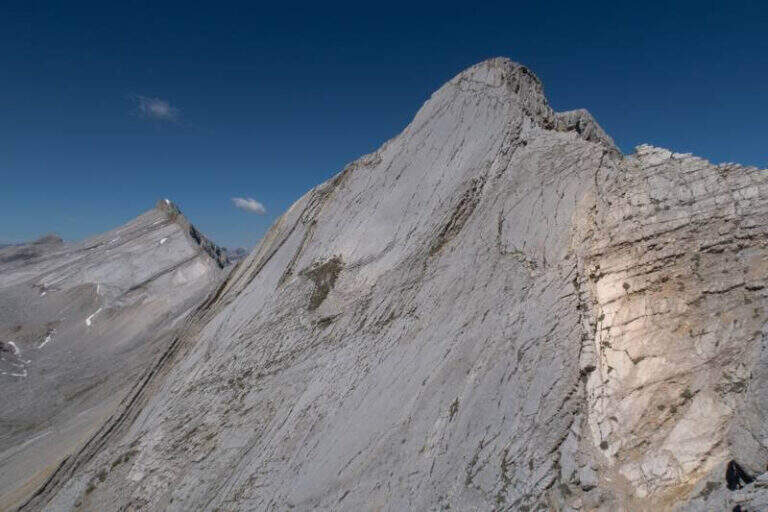
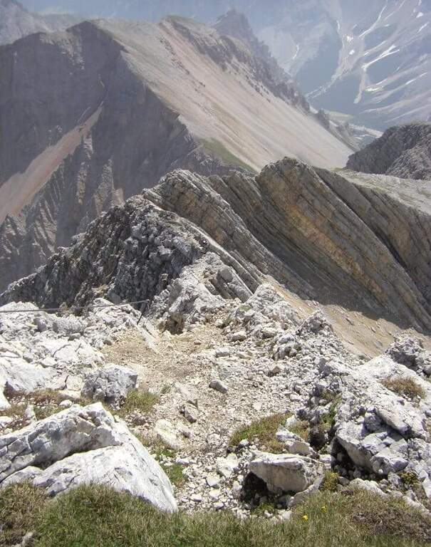
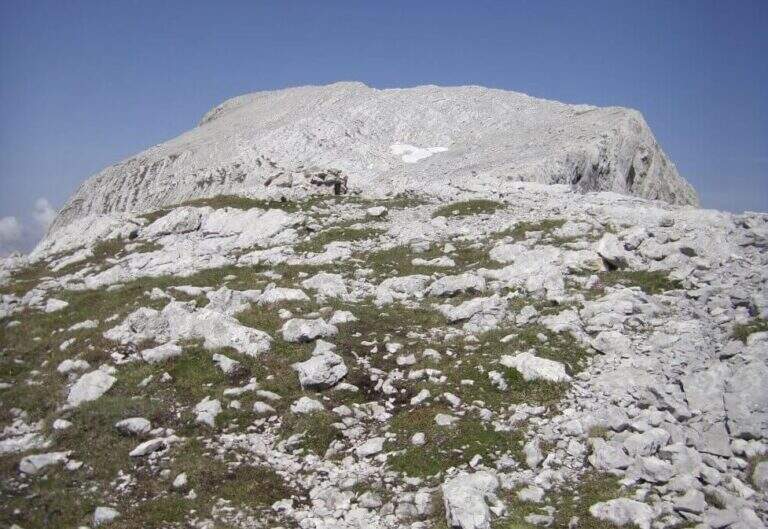
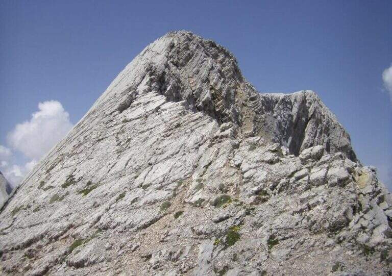
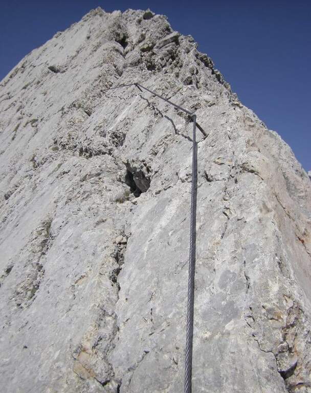
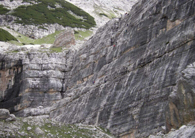
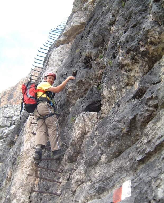
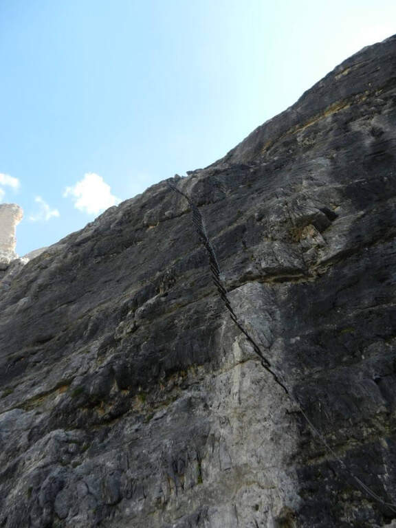
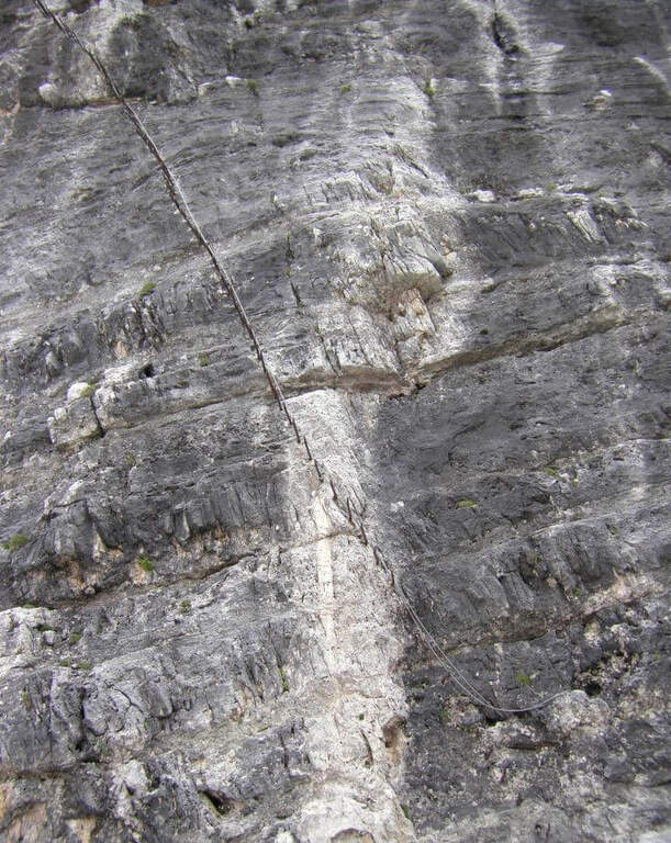
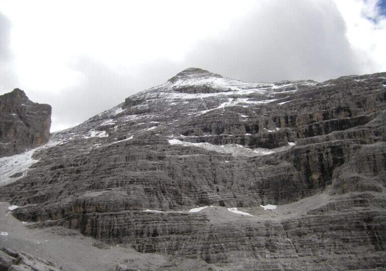
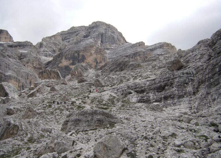
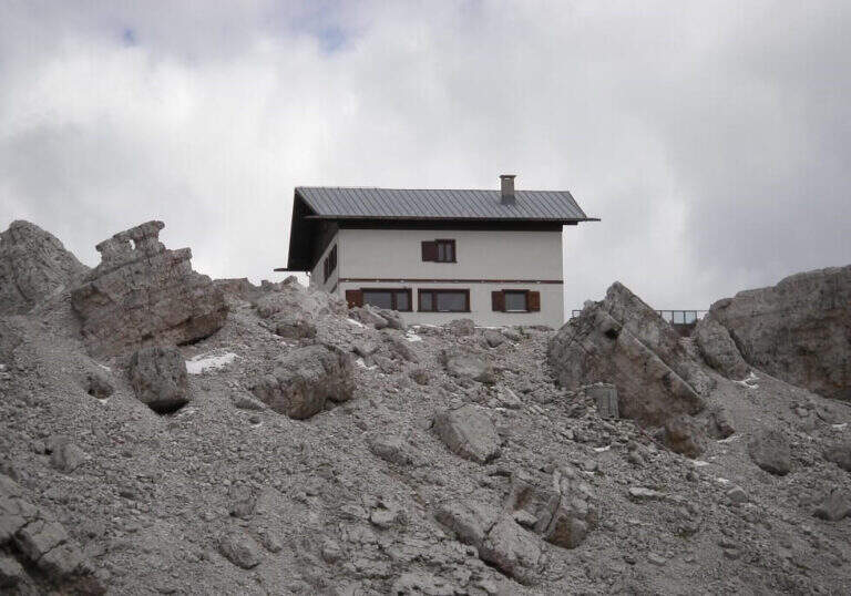
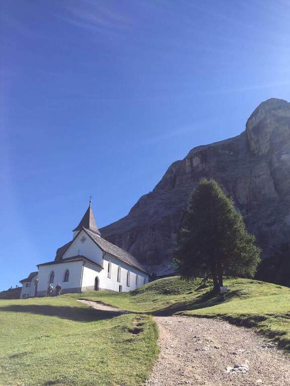
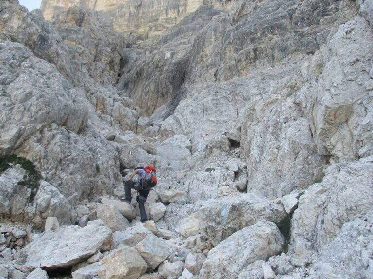
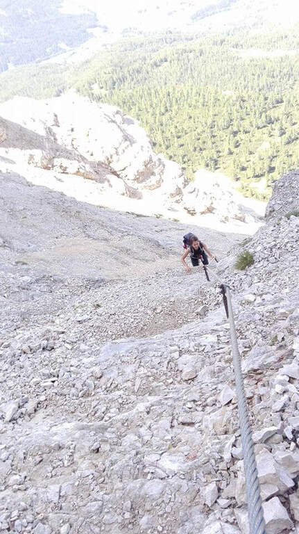
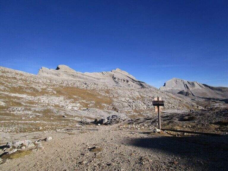
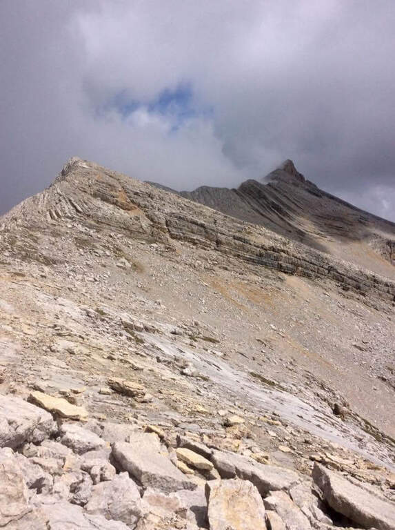
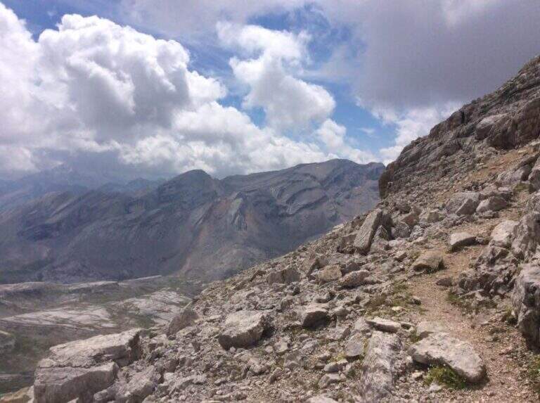
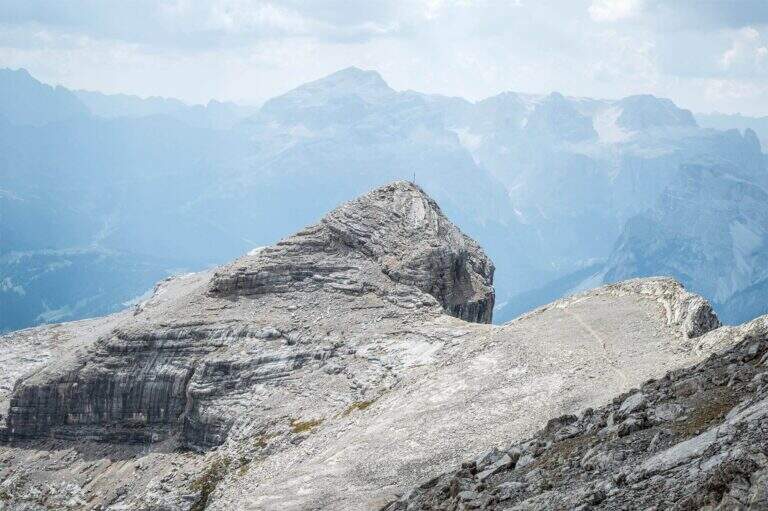
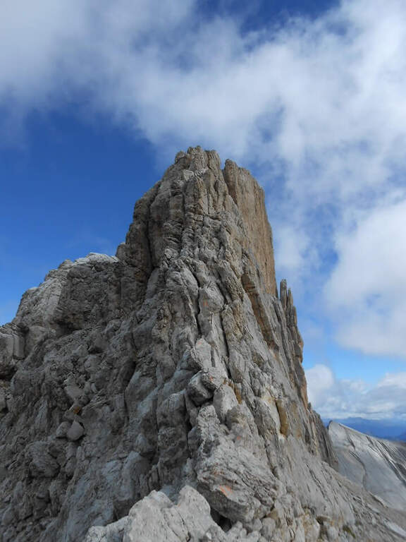
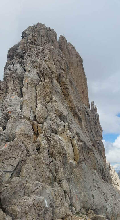
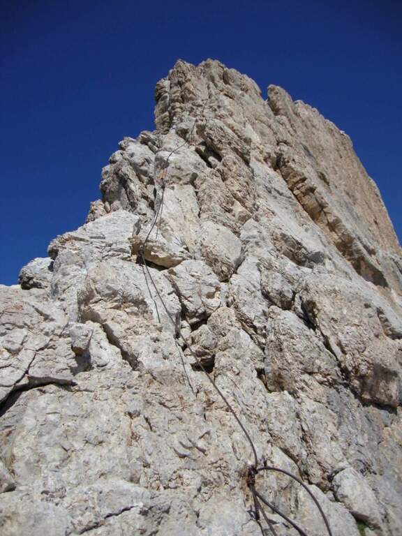
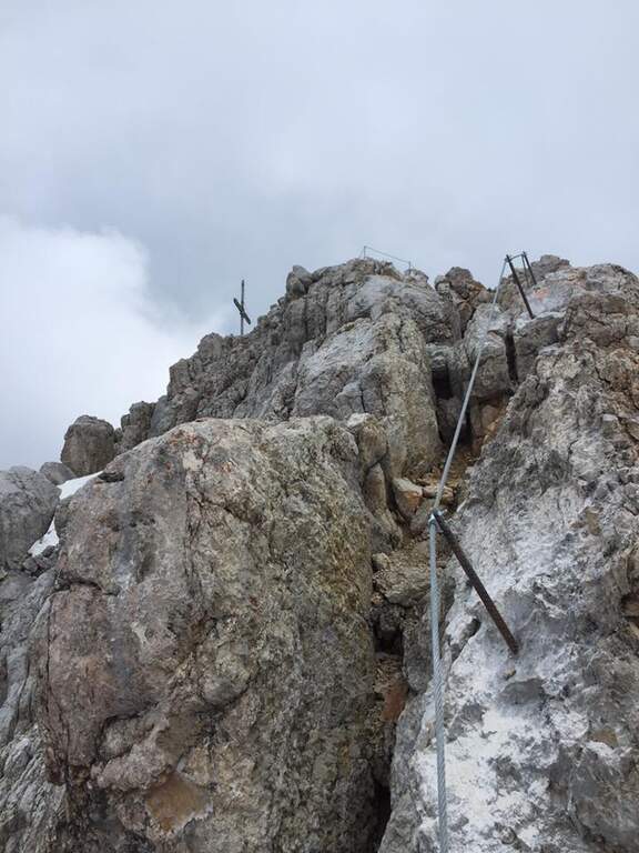
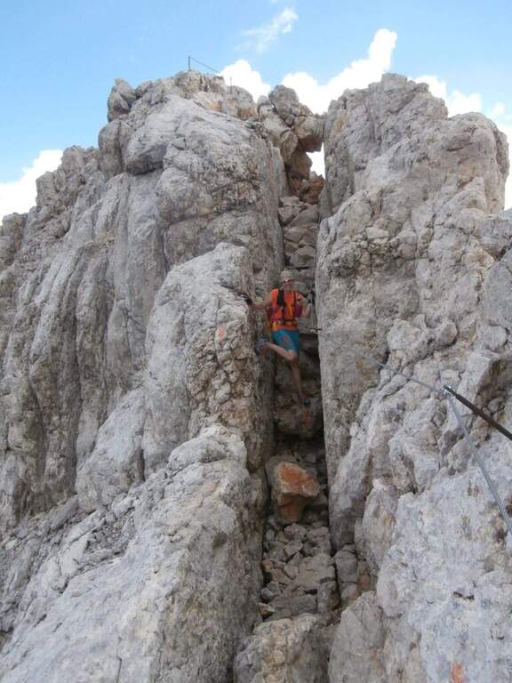
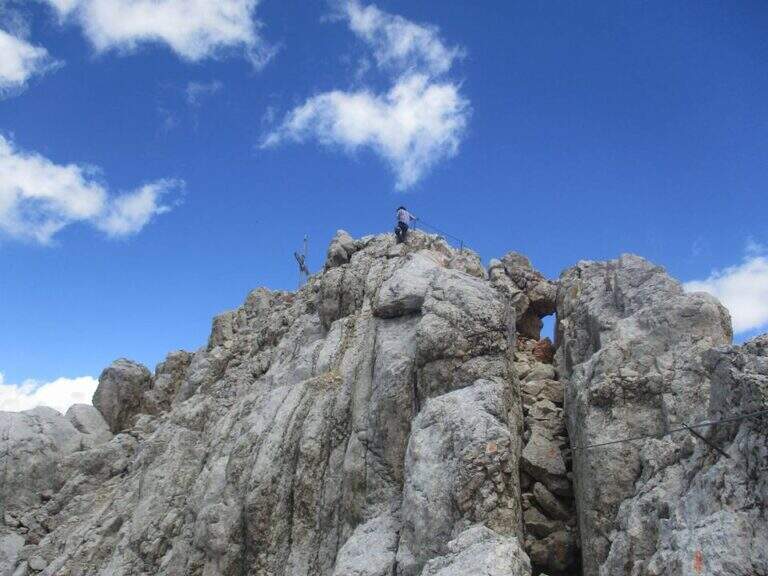
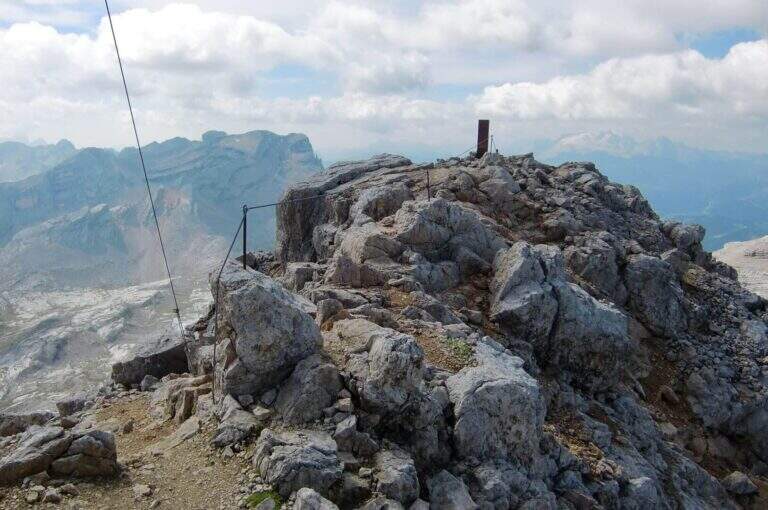
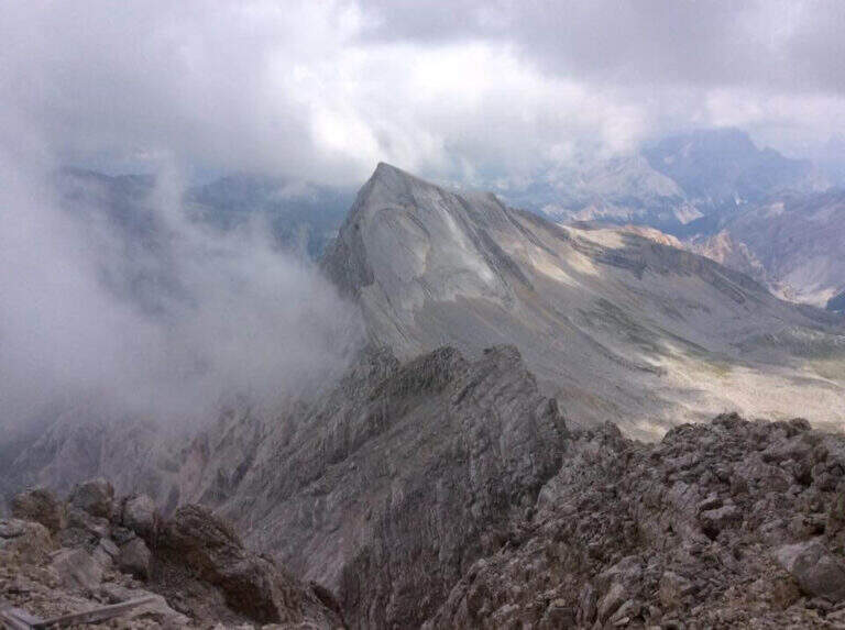
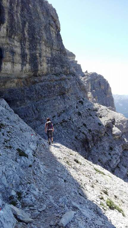
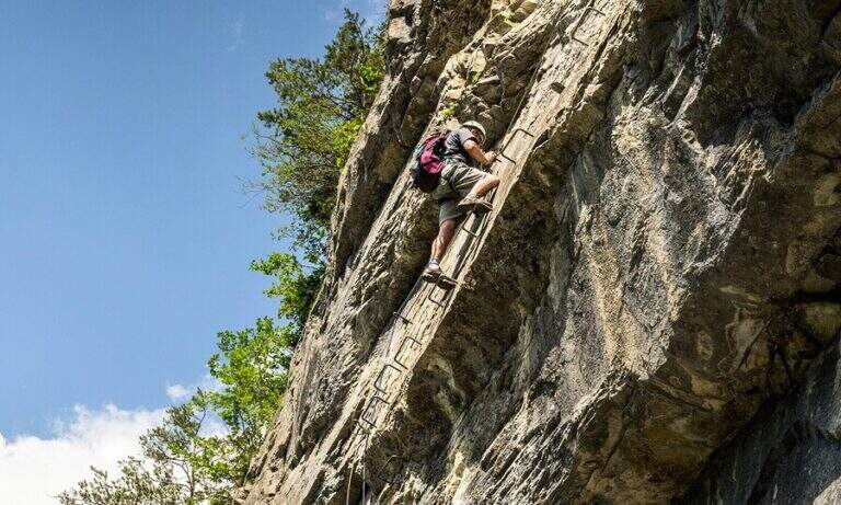
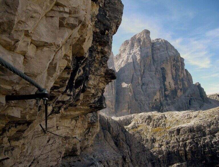
    La Ferrata Strada degli Alpini walk through a splendid itinerary in the Sesto Dolomites, going up the eastern slope of Val Fiscalina Alta from the Comici Refuge to Forcella Undici along the historic Cengia della Salvezza of the Great War. For large sections there is no particular difficulty; although exposed; ` a very long ring with high altitude difference, to be prepared with care and to go only if well trained.

    ▲Approach

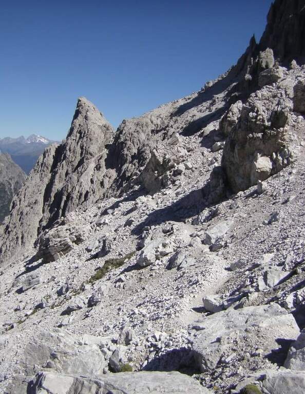
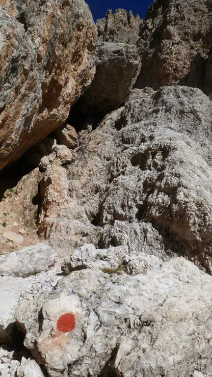
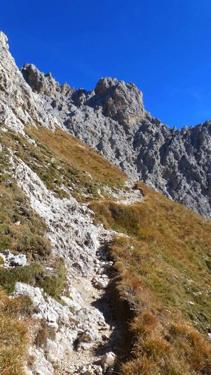
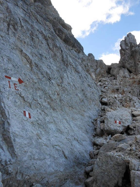
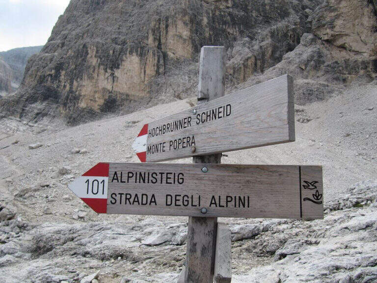
    Starting point l' Hotel Dolomitenhof in Val Fiscalina (1454 m), reachable from Moso in Val Pusteria. Open road signs on Google Maps. Follow the 102 road towards the south to the Rifugio al Fondo Valle (1548 m, 30'), then always 102 towards the south-west and at a crossroads you keep the left on the path 103 towards the Rifugio Comici, climbing along the left of the Val Fiscalina Bassa (on the opposite side you can see the ridge of the Strada degli Alpini) up to the Rifugio Comici (2224 m, 2h 30' from the parking ). From the hut continue on the 103 south, downhill and then on the left towards Forcella Giralba, on the left side of the Croda dei Toni; before the fork you will meet on the left the path 101 towards Monte Popera. Going up towards a fork and going down a few meters, at a crossroads (on the right the normal Popera) continue north to half-coast until the census of the' attack (1h from the Rifugio Comici).

    ▲The path

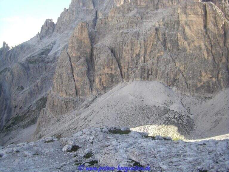
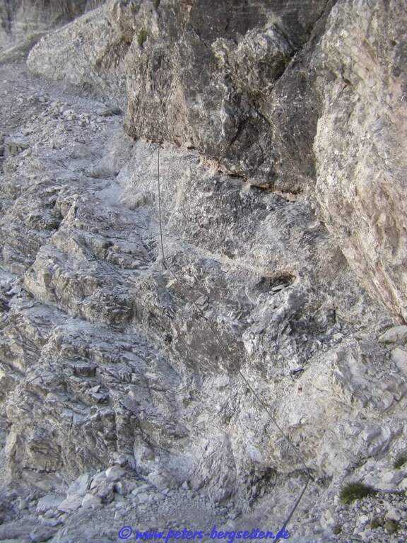
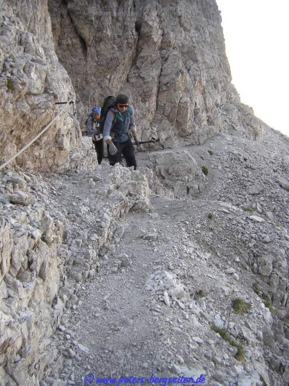
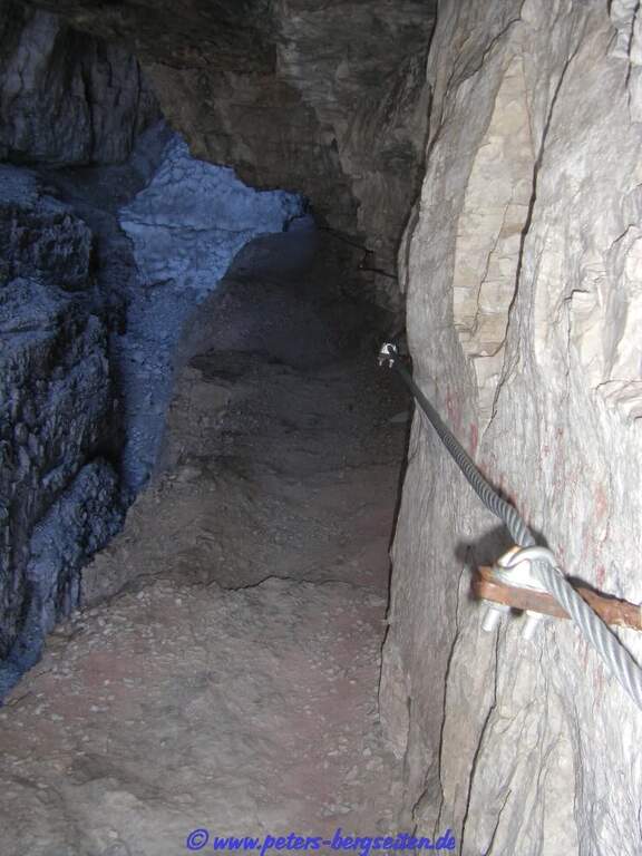
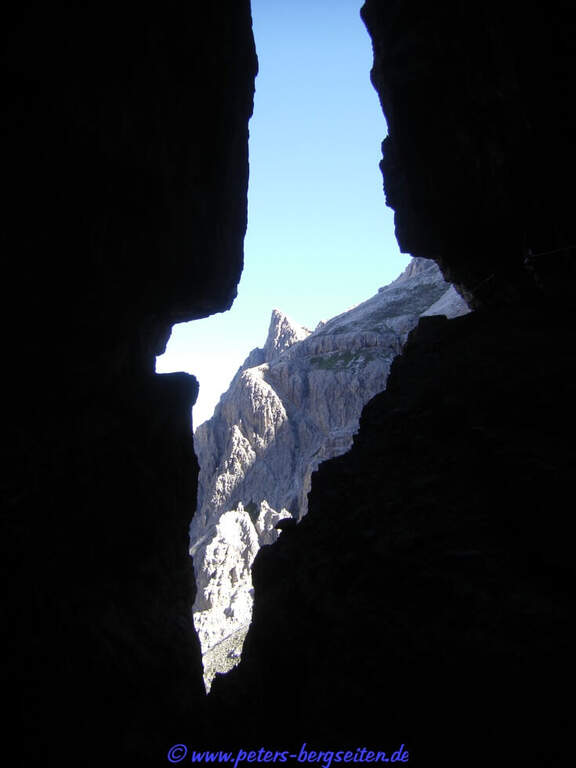
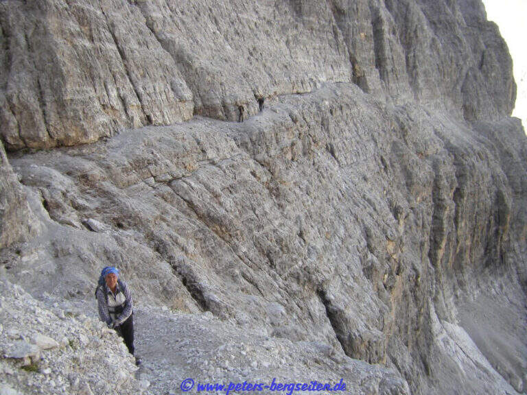
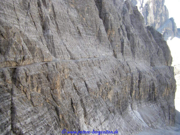
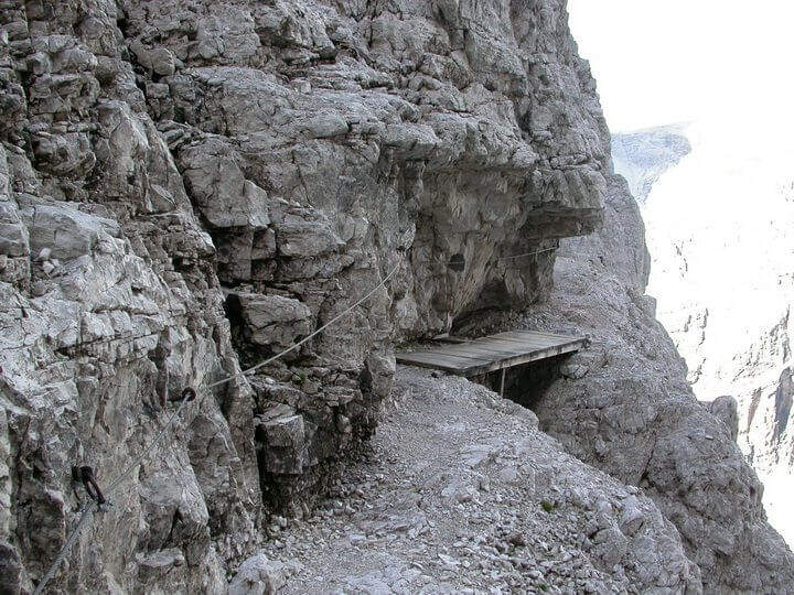
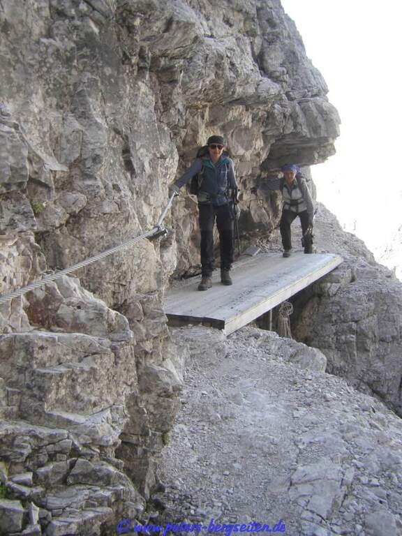
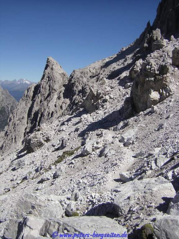
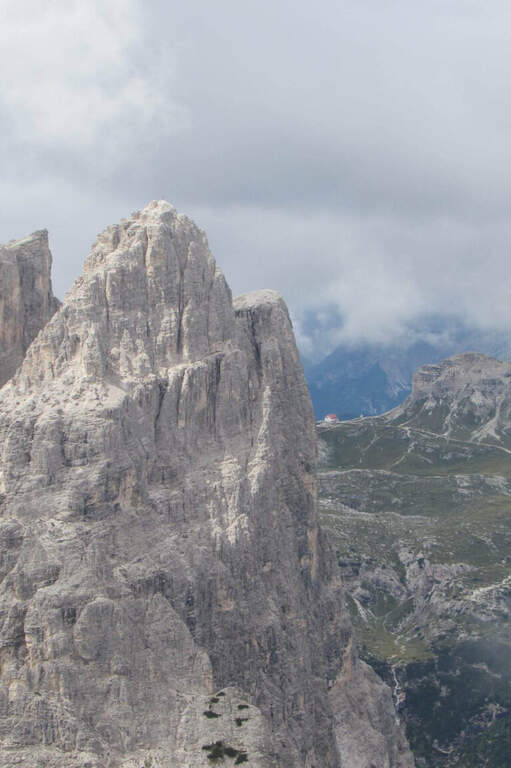
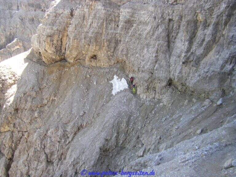
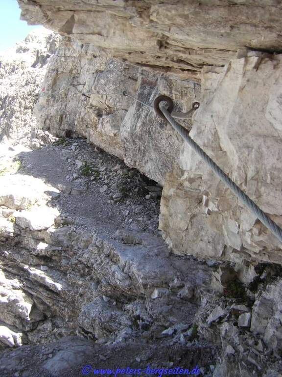
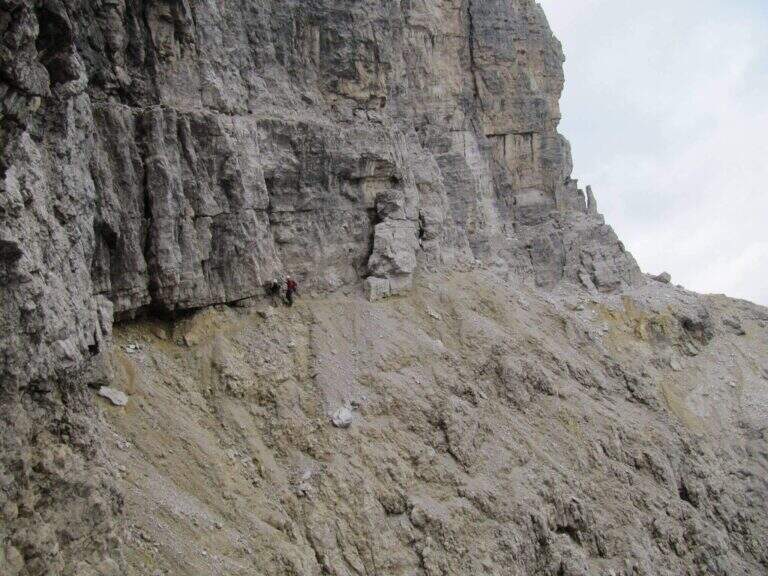
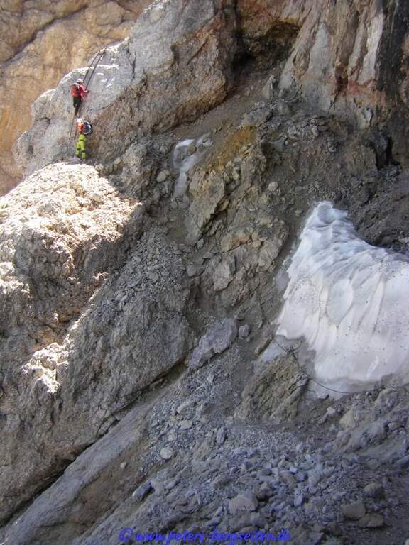
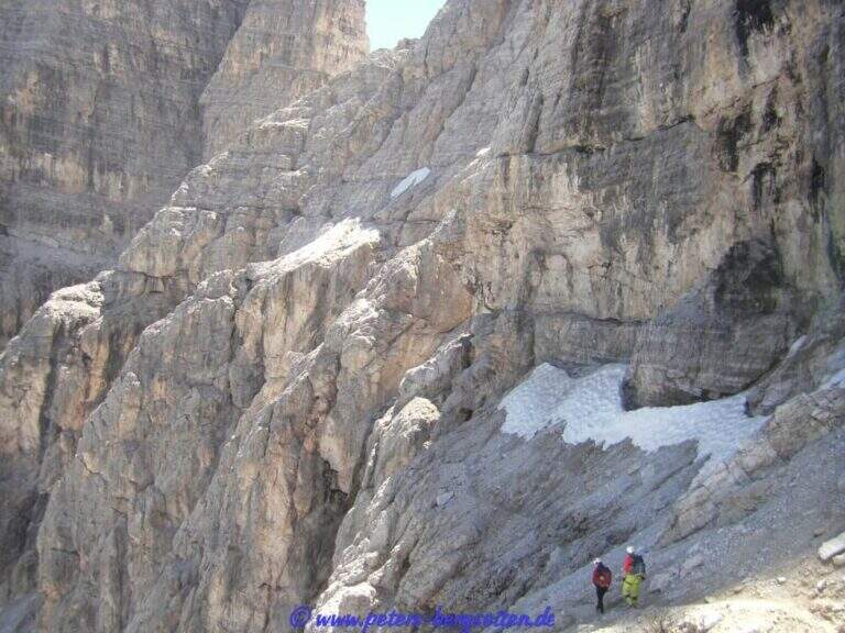
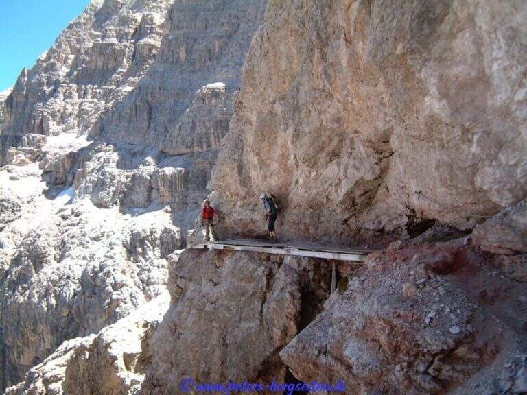
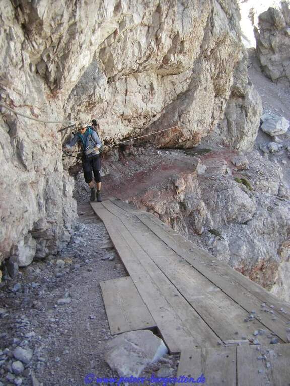
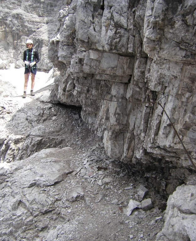
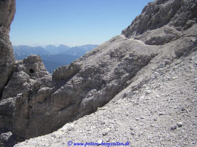
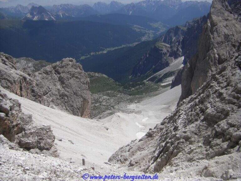
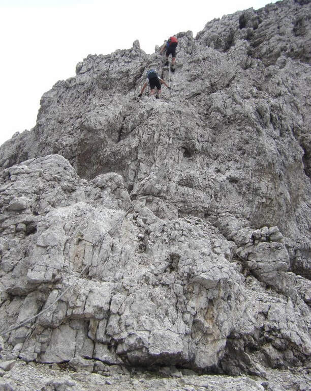
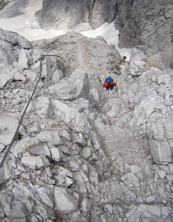
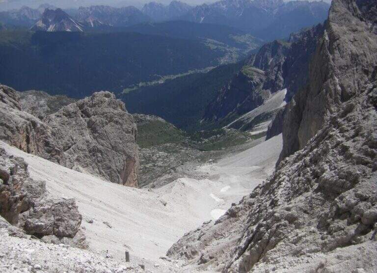
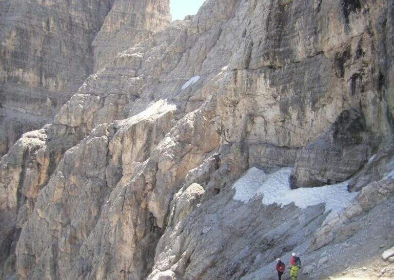
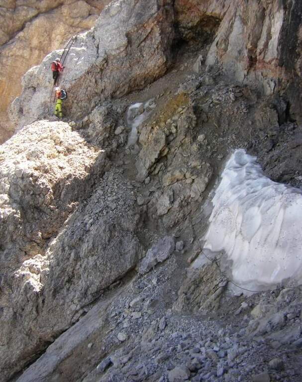
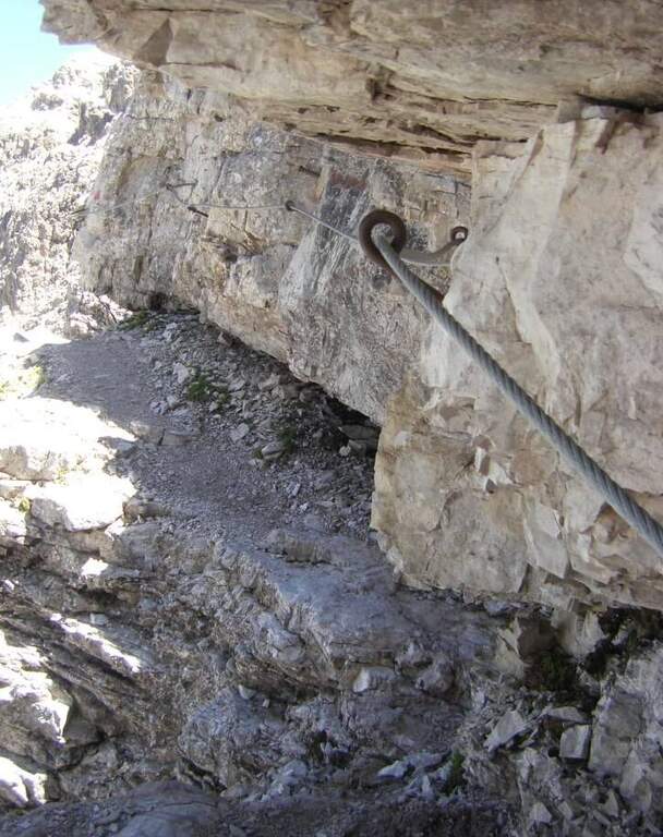
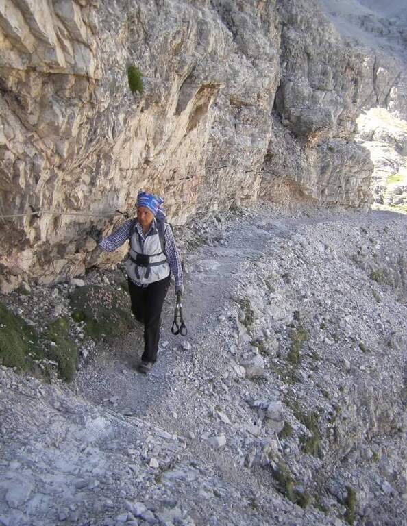
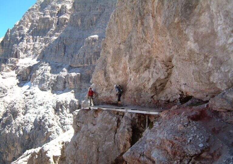
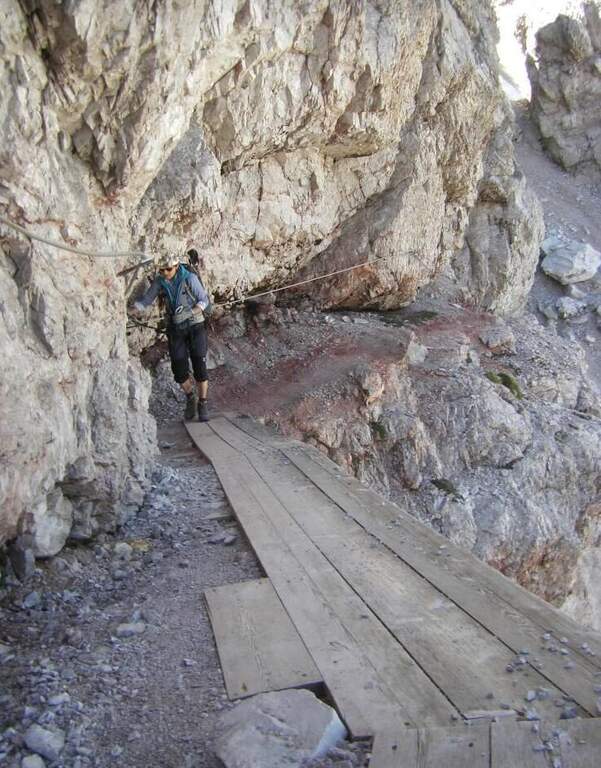
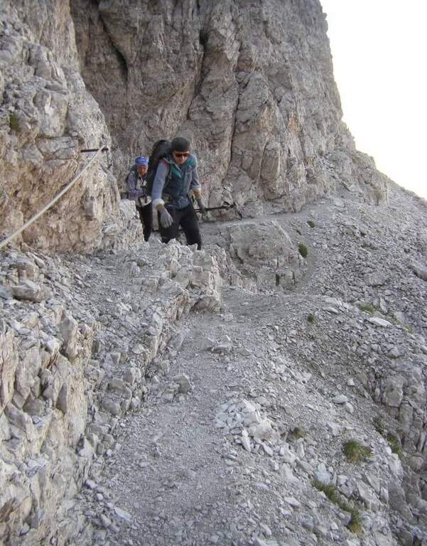
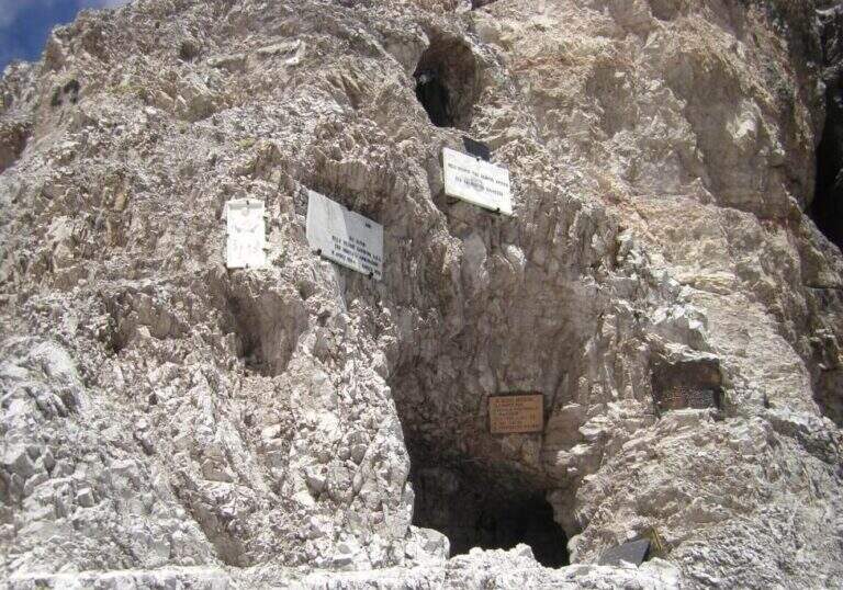
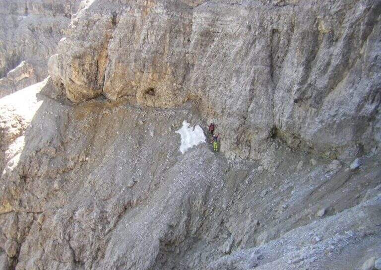
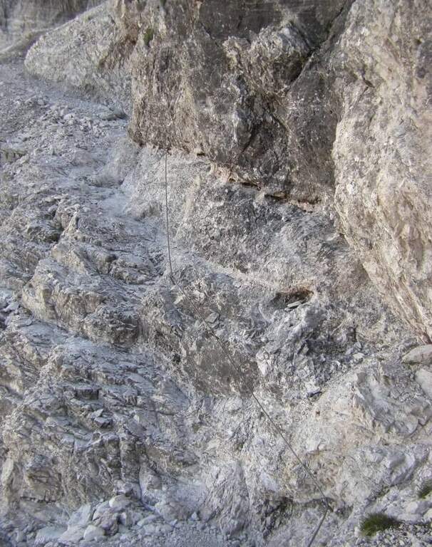
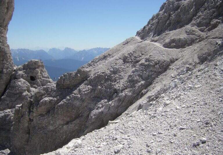
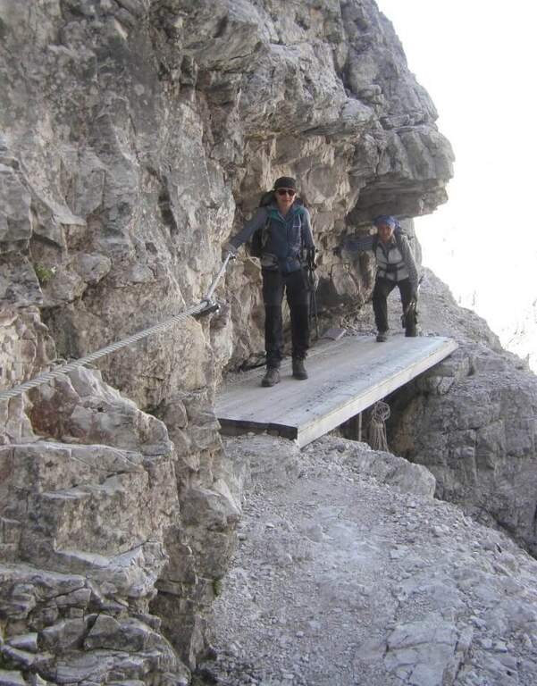
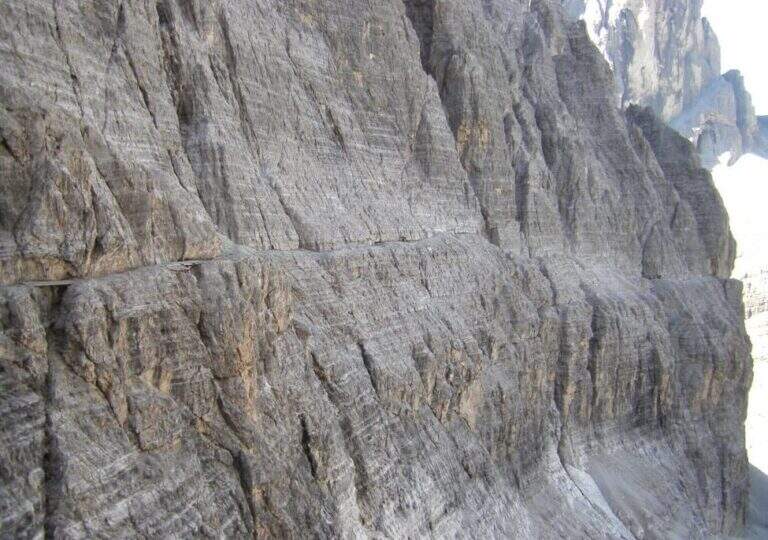
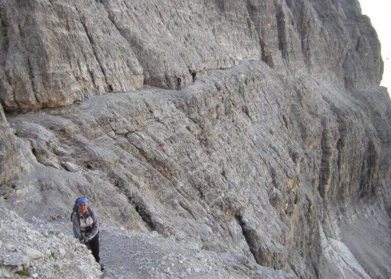
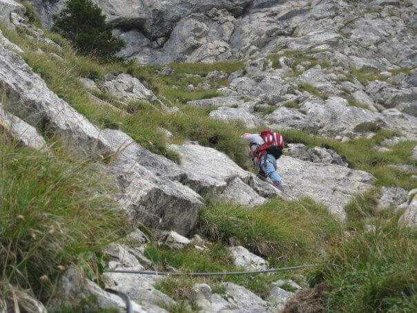
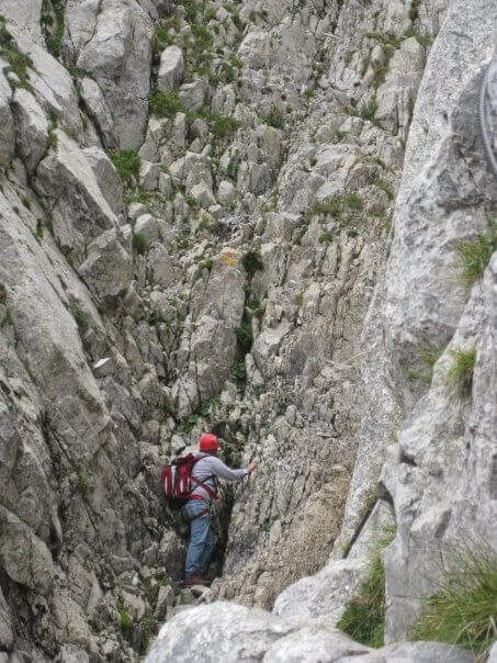
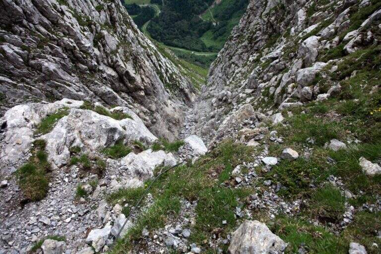
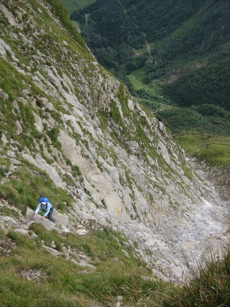
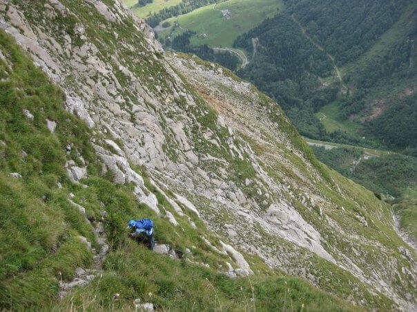
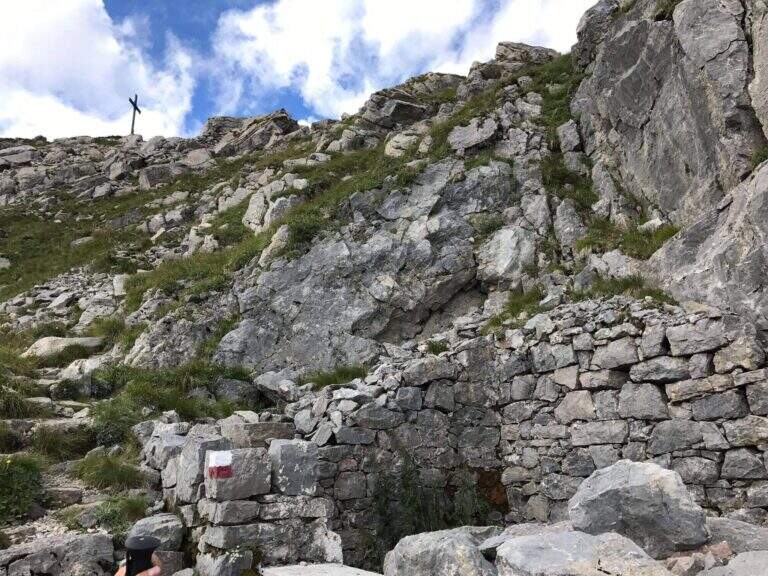
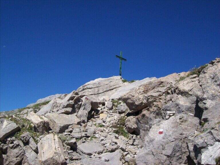
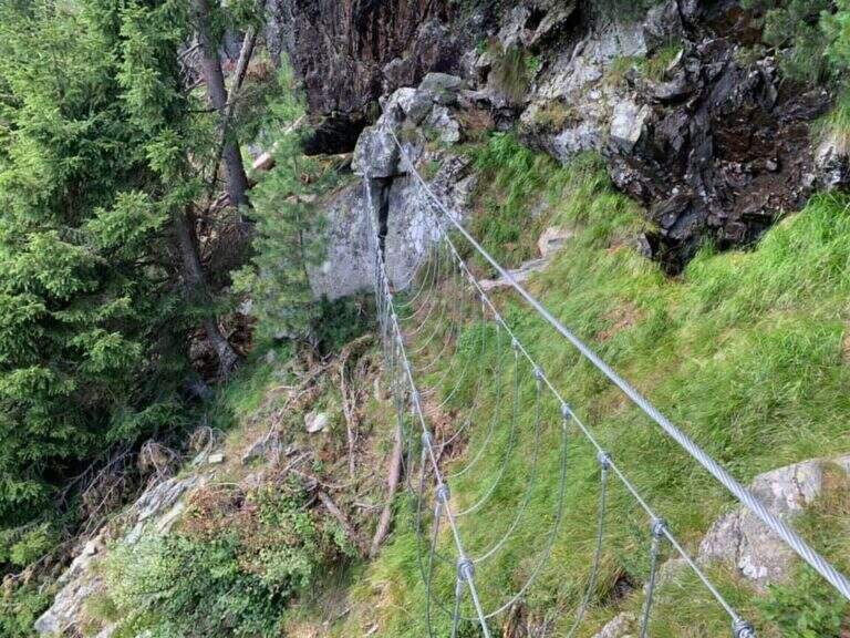
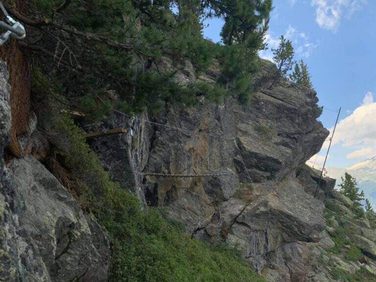
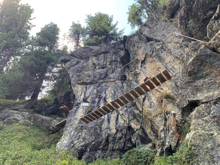
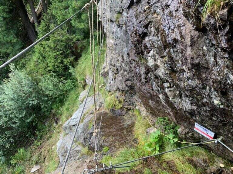
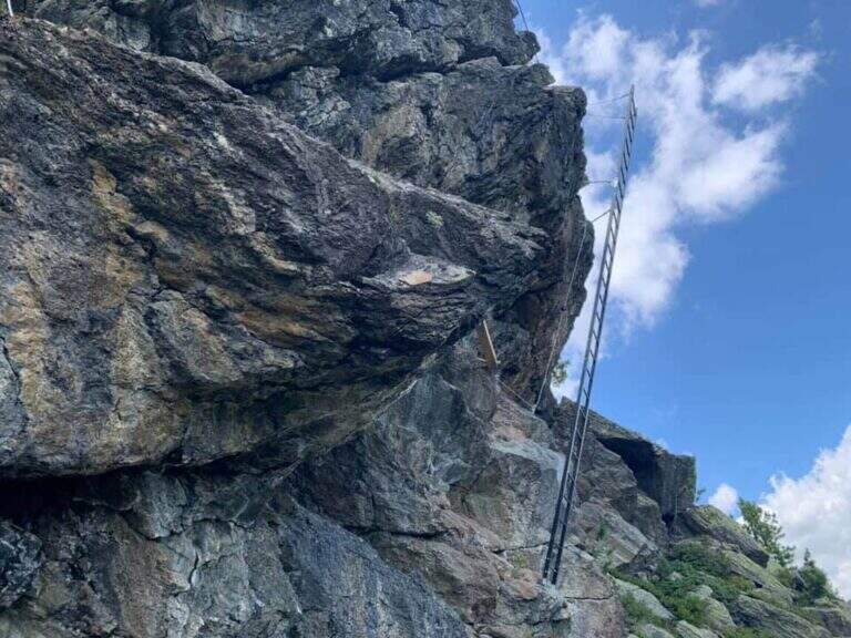
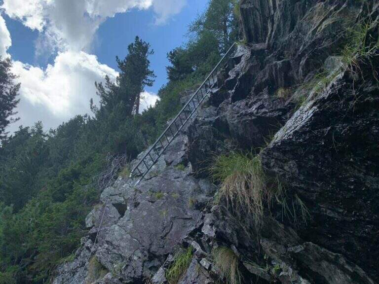
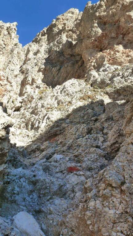
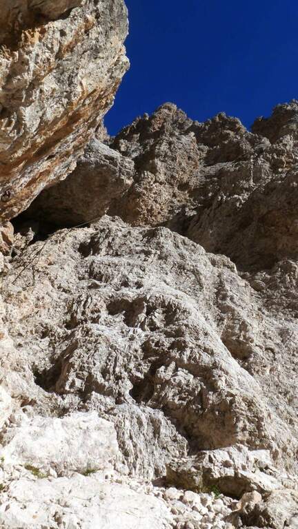
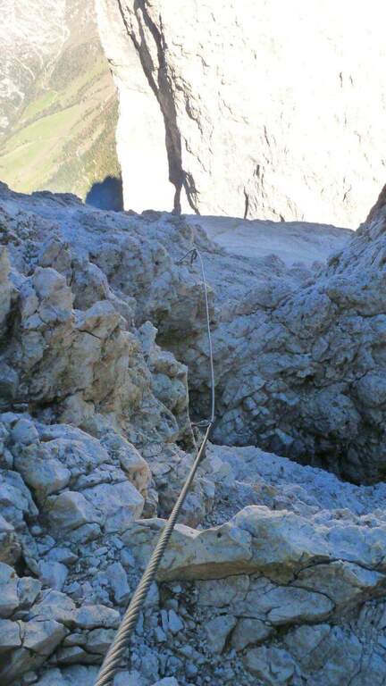
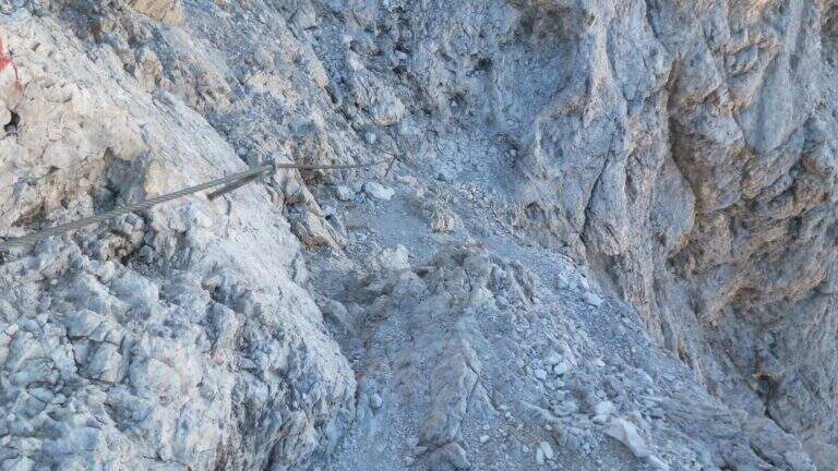
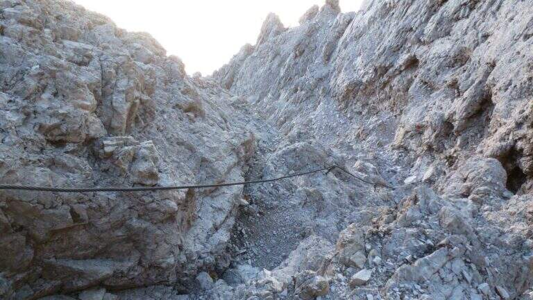
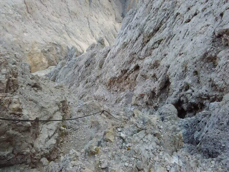
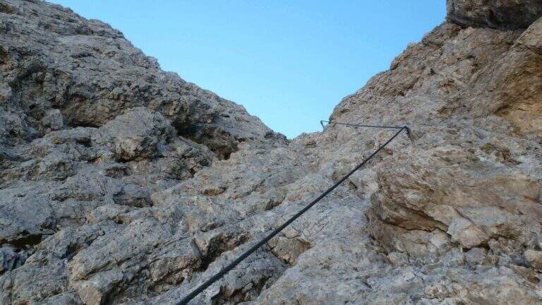
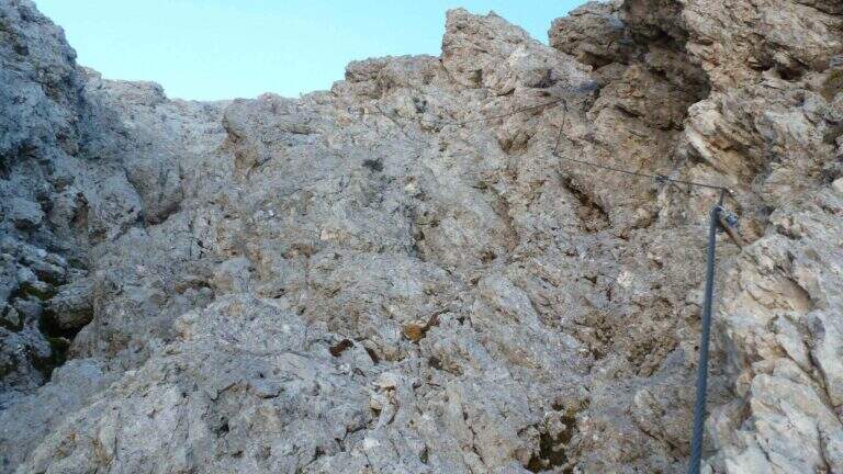
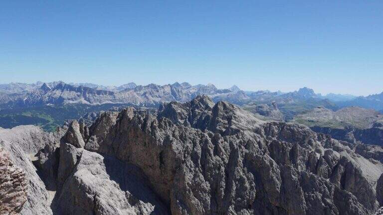
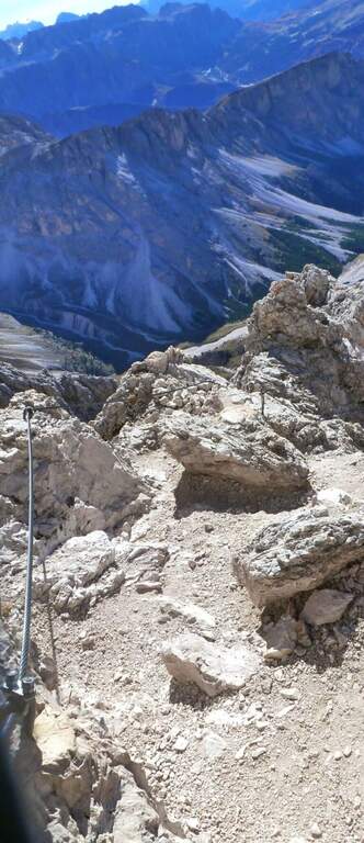
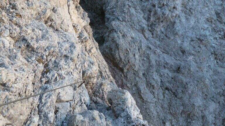
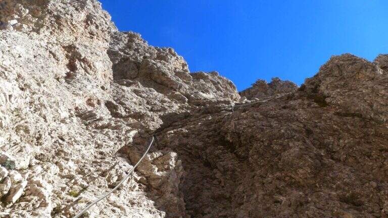
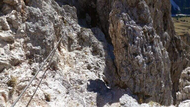
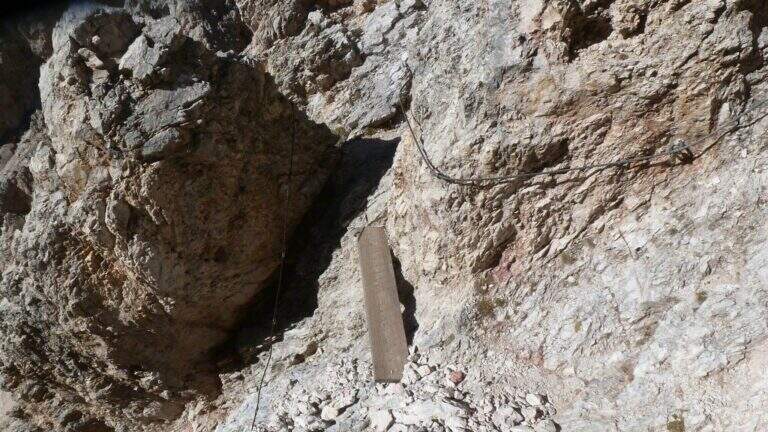
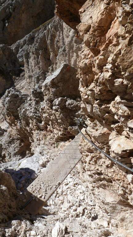
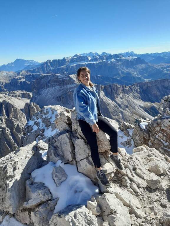
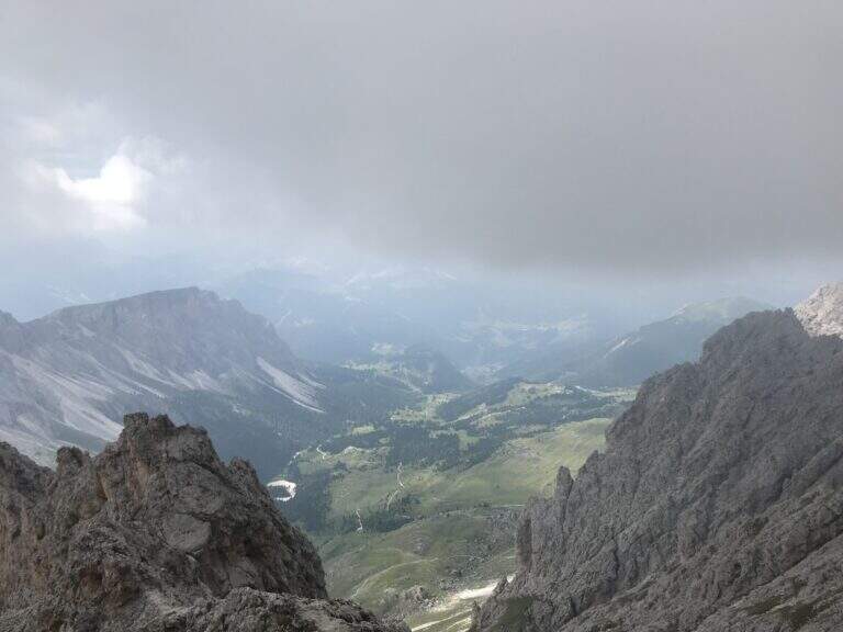
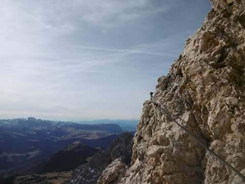
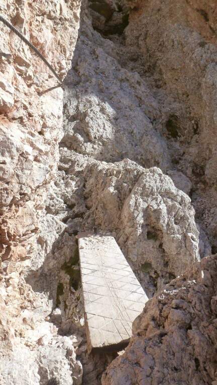
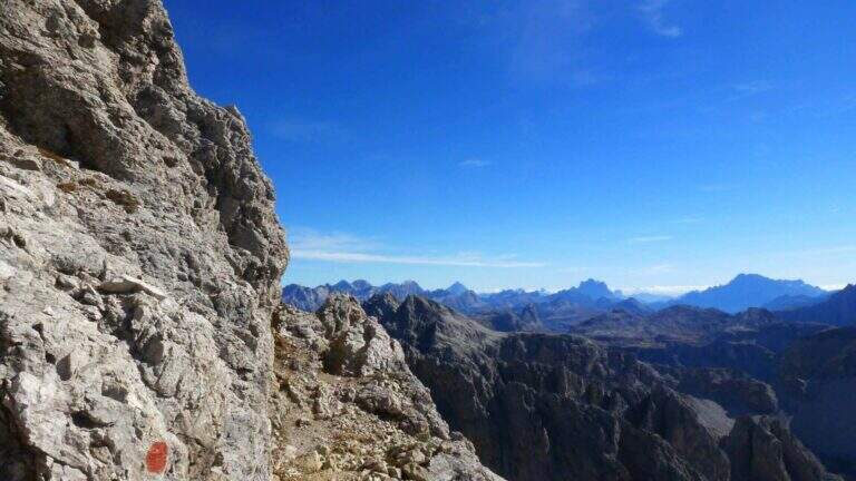
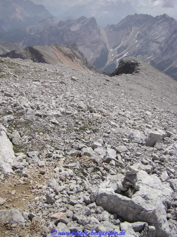
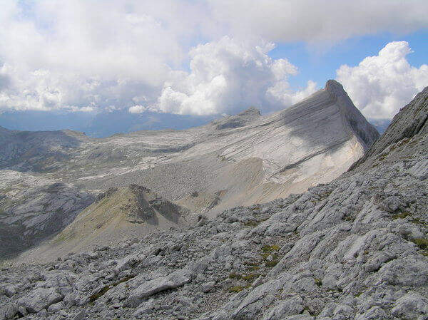
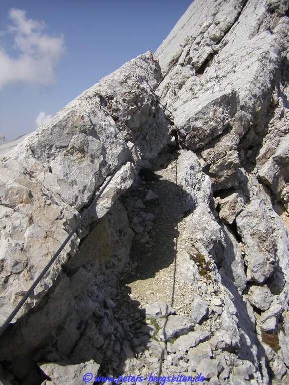
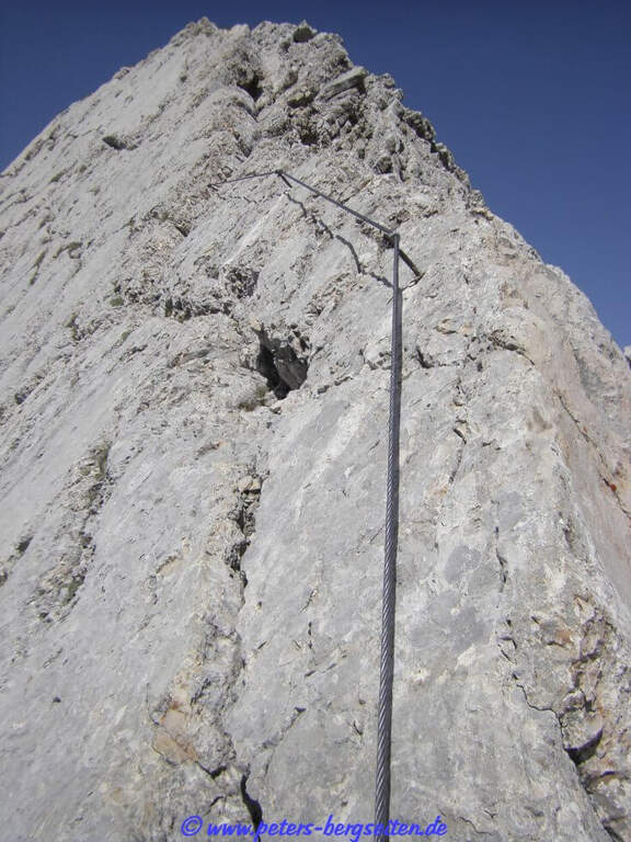
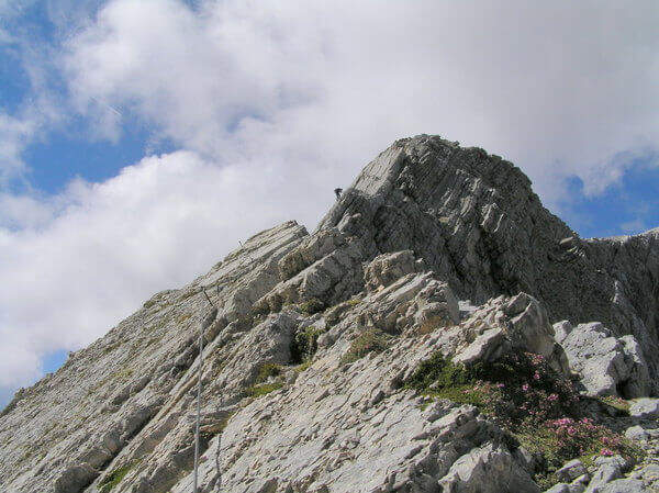
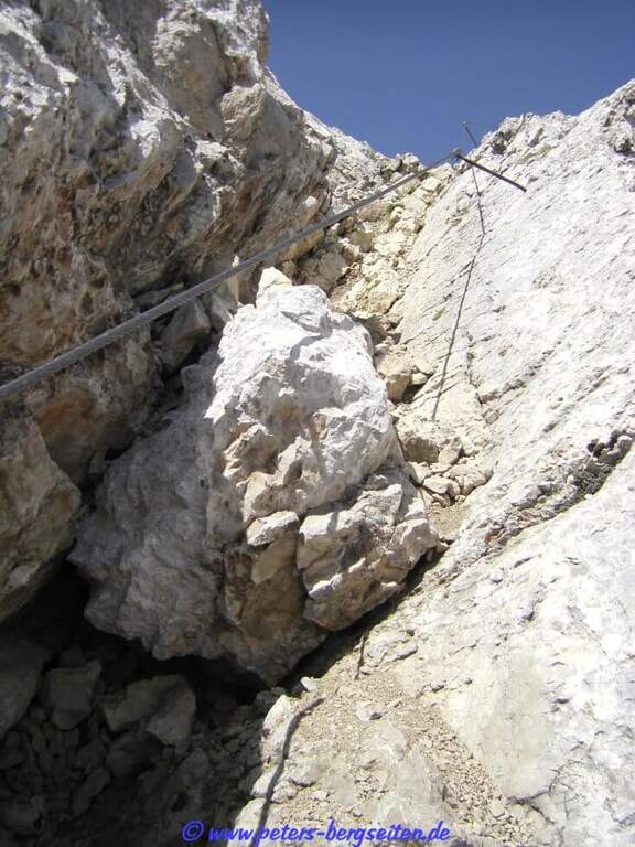
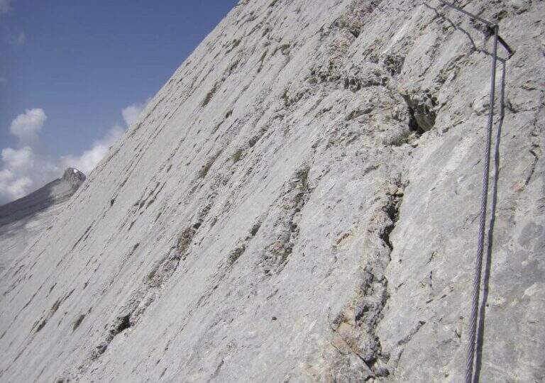
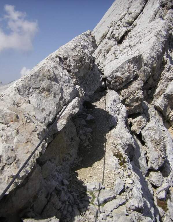
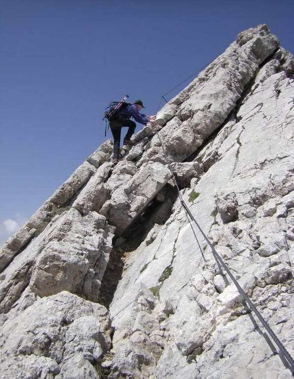
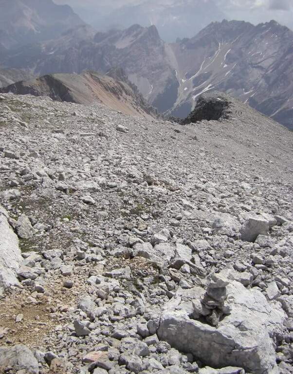
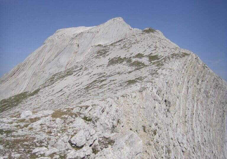
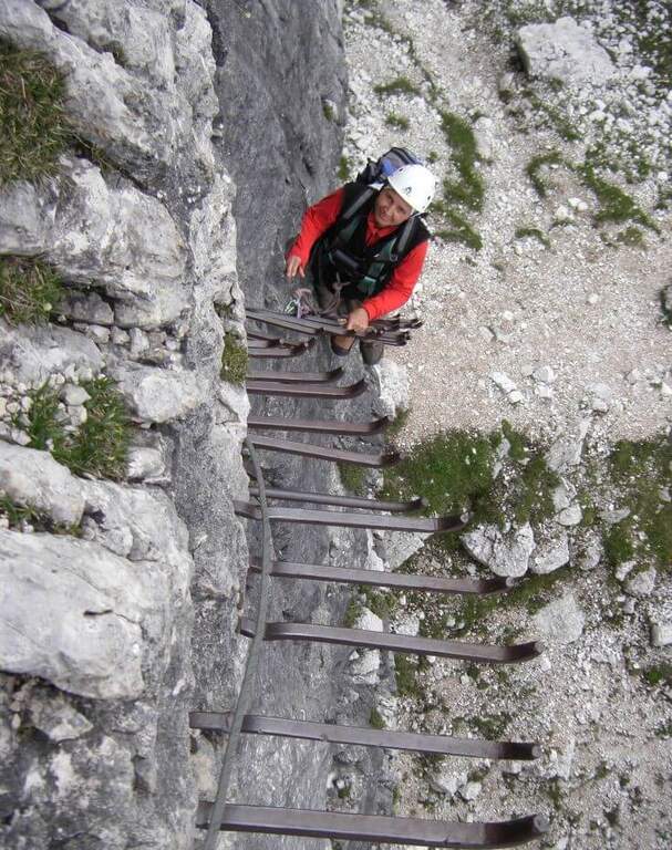
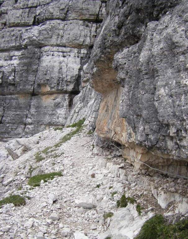
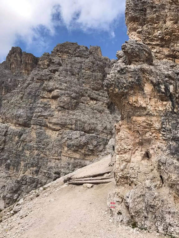
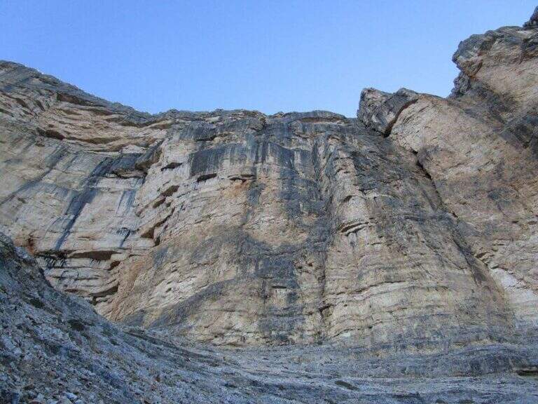
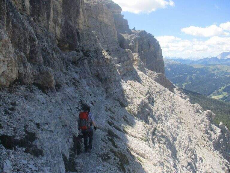
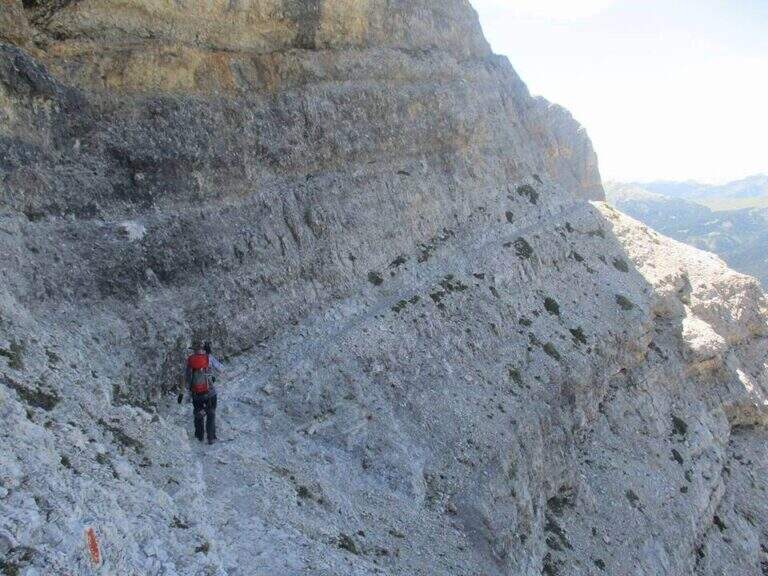
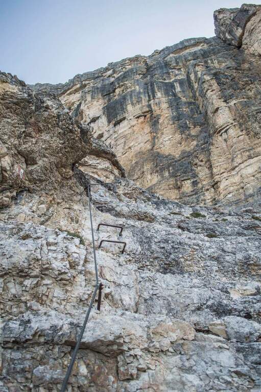
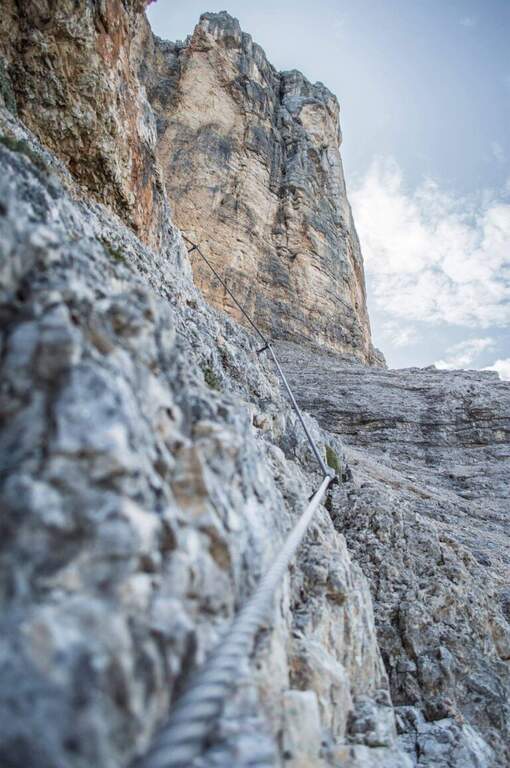
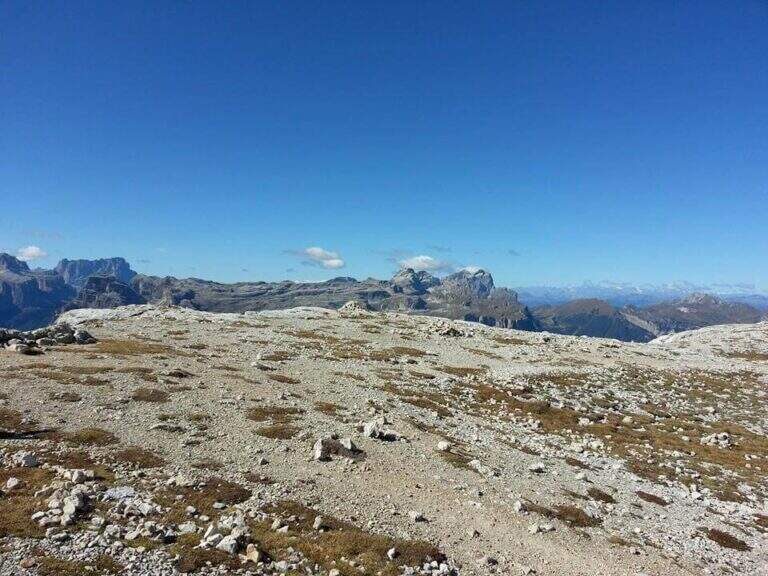
    The initial trait goes beyond easy rocks and then develops along the Cengia of Salvazza, carved into the rock during the Great War. First, a very wide nod, at times not equipped, to the più point; iconic: the nod abruptly turns into a rock retaliation and is circumvented from the ' inside, with the characteristic view that recalls a «spada». Exit on the opposite side, after some rocks, the nod continues between modest climbs along the west wall of the slopes of Cima Undici, with wonderful views on Cima Dodici and Val Fiscalina: generally wide, you walk without problems despite the precipice on the left. At a rocky roof it is lowered on a wooden catwalk; più forward, in a recess, a waterfall and, according to the season, a snowmaker. The census now continues without protection, uphill on a detritic background, it overcomes a new snowfall and reaches an old military muretto where the first stretch ends (1h 45' from' attack, 5h 15' total). Continue on unprotected nod, in falsepiano, up to Forcella Undici, where the ferrata ends with a 360° panorama; on Croda Rossa di Sesto, Cima Undici, Cima Twelve and Cima Uno (2h 30' from' attack, 6h totali).

    ▲Character and difficulty

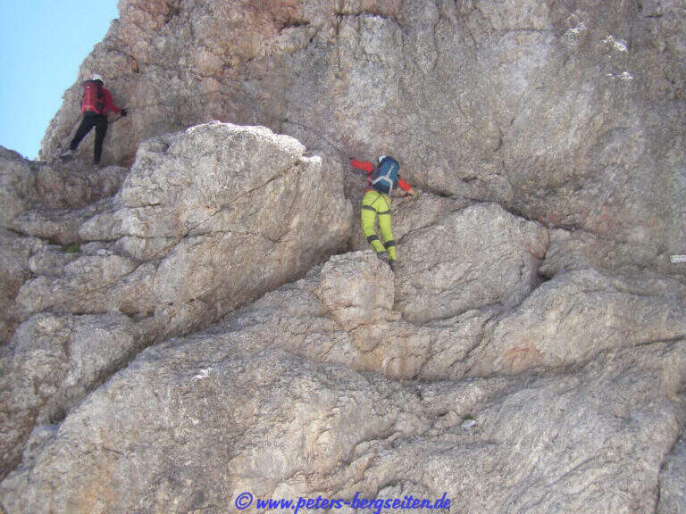
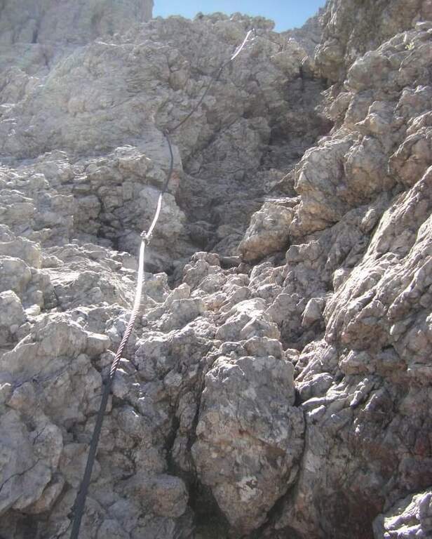
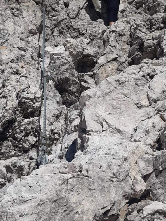
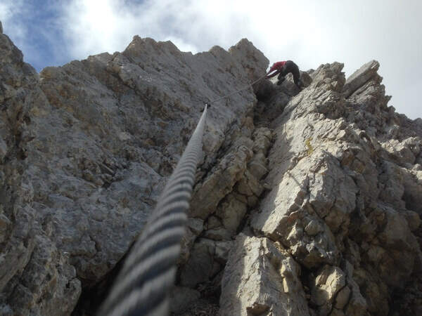
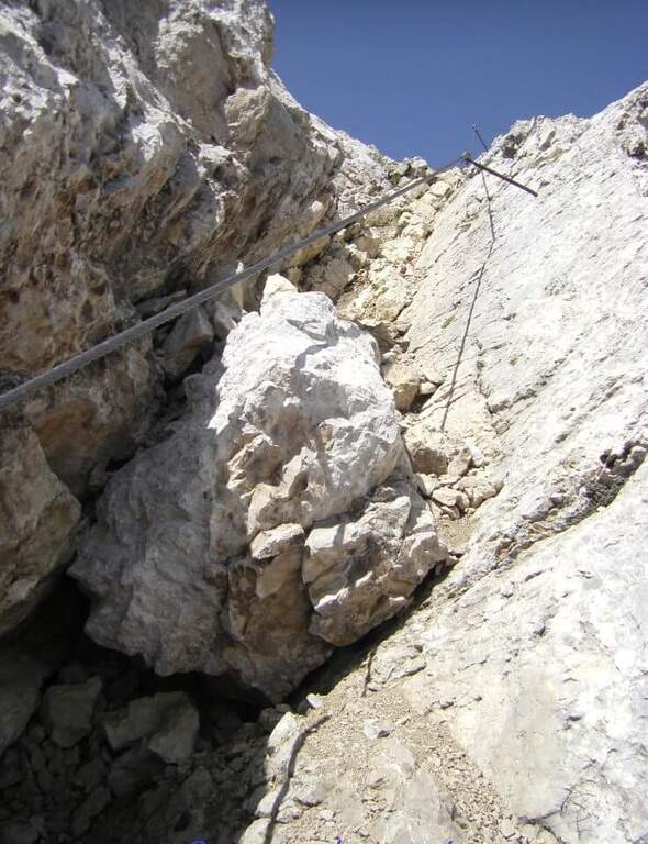
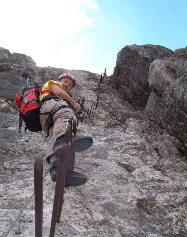
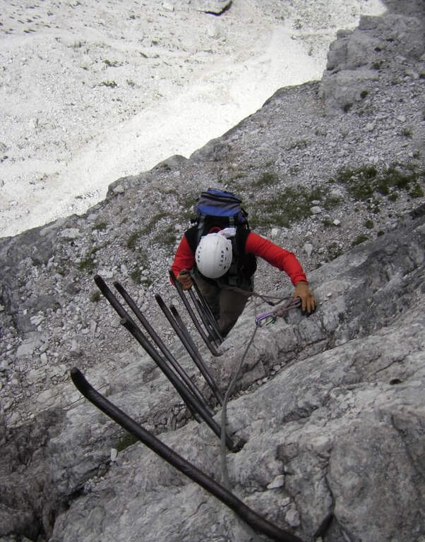
    For the first two thirds the route does not present technically challenging passages: it develops above all on exposed but well equipped cenges. The most vertical and medium-difficult stretches meet downhill, especially towards Passo della Sentinella.

    ⚠ Some unprotected steps are exposed and require steady foot. The excursion is long and after the Rifugio Comici there are no other points of support until the return: taking place just under the 3000 m it goes only with stable time. It can be useful to have ramps if the snows are still present, often with hard snow.

    ▲Period and safety

    An official GPS track is not available for this route. The map of the 4Land Dolomites is useful.

    ▲History

    The Strada degli Alpini has its roots in the Great War, when the "Cengia della Salvezza" — originally a natural nod, then enlarged by the mountaineers — connected Forcella Giralba to the west terrace of Cima Undici to reach and strengthen the positions in view of the attack on the Passo della Sentinella, then the Italian-Austrian border. After the war Francesco Meneghello (CAI) brought to light the itinerary and in 1932 the CAI of Padua equipped it with metal ropes and ladders; the stretch from Forcella Undici to Passo della Sentinella was instead equipped by the CAI of Padua in the seventies.

    ▲Discipline

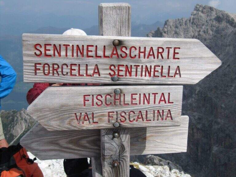
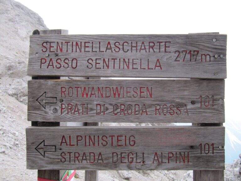
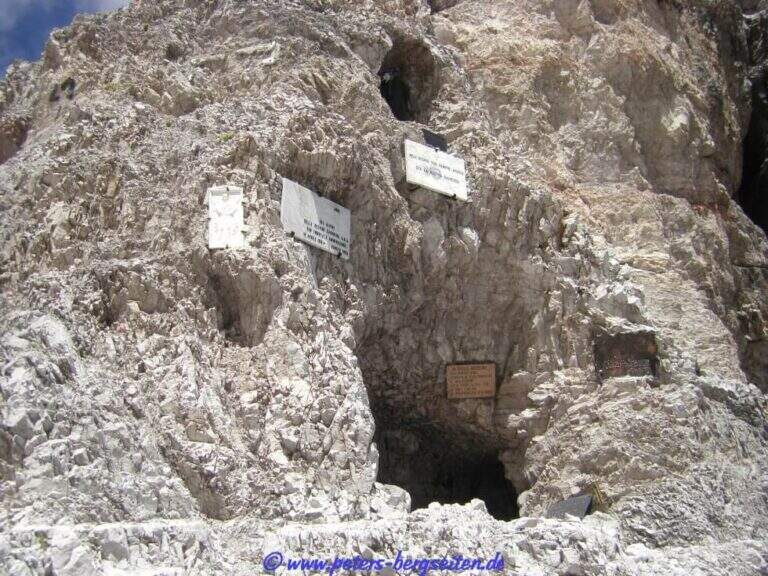
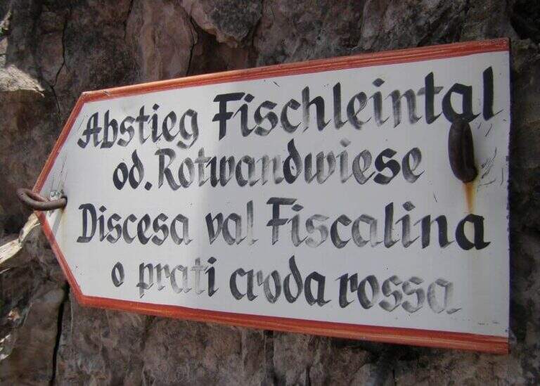
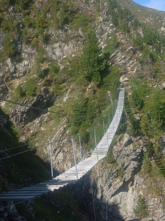
    From Forcella Eleven two options. The first follows the signpost 124 che, aggirando l'Elferschartespitze, scende in Val Fiscalina con un traverso attrezzato e un paio di canalini franosi, poi un vallone detritico con la Croda Rossa a destra, fino al parcheggio (1h 30' da Forcella Undici, 6h 45' totali). La seconda scende al Passo della Sentinella (anche detta Ferrata del Passo Sentinella): cenge, una scaletta, l'attraversamento di un canale, una lunga passerella di legno e balzi verticali in forte esposizione fino al passo (2717 m, 1h da Forcella Undici), ricco di resti bellici; si scende poi a sinistra nel Vallon Sentinella, dapprima molto ripido e attrezzato, fino al bivio con il sentiero 124 che riporta in Val Fiscalina e al parcheggio (8h totali).

    ▲To match

    Itinerary ideal to be inserted in several days: a classic match the Ferrata Roghel e la Cengia Gabriella towards the Rifugi Berti and Carducci, then using the Strada degli Alpini to return to the Berti from the Val Popera; or the climb to the Croda Rossa di Sesto for Ferrata Zandonella and the descent to the Costoni di Croda Rossa.
    ▲Gallery
    Technical data
    • DifficultyModerately Hard
    • RegionTrentino-Alto Adige
    • GroupSesto Dolomites
    • Approach3:30 h
    • Ferrata2:30 h
    • Itinerary (a/r)8:00 h
    • Hardware level difference337 m
    • Route difference1200 m
    • Max2717 m
    • Length11 Km
  • Ferrata Spigolo della Bandiera

    Ferrata Spigolo della Bandiera

    Vie Ferrate › Lombardy › Brescia
    Ferrata Spigolo della Bandiera
    Moderately Hard● OpenDescriptionComplexityMapsGallery

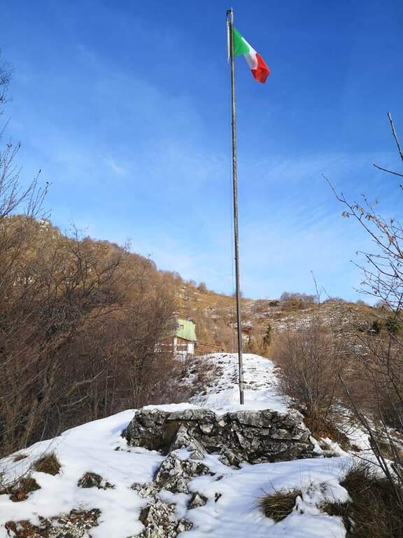
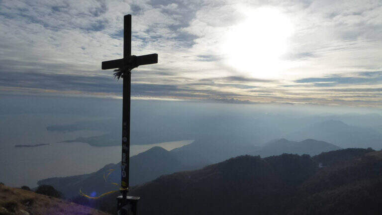
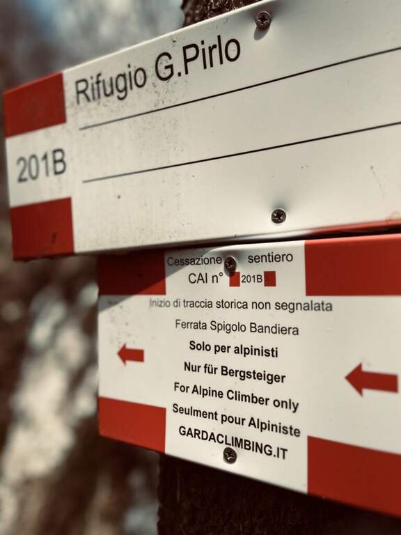
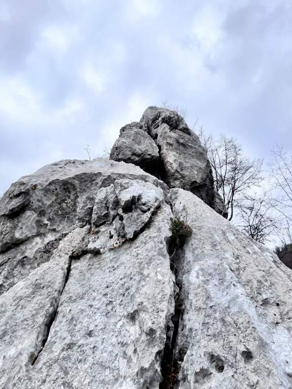
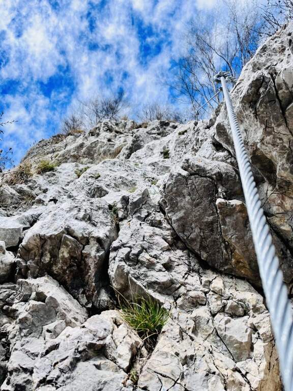
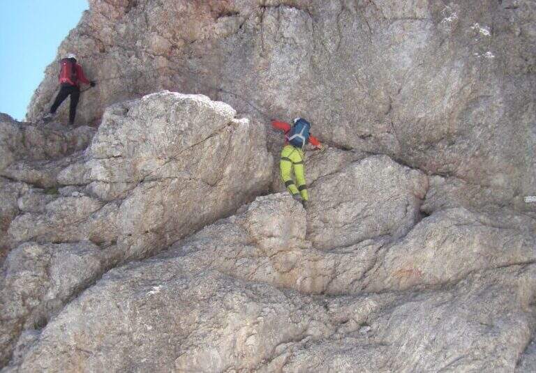
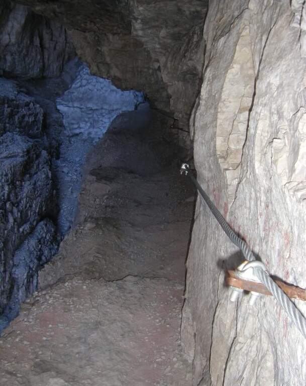
    La Ferrata Spigolo della Bandiera climbs an aerial edge at Monte Spino, above the western coast of Lake Garda. È a short but exposed and athletics: in più points l' excellent jagged rock allows to climb, but a passage requires a momentum due to the scarce natural couple. The route è was renovated in 2019 with a slightly modified track that avoids the old key point, but that introduces a short overhanging step of level difficult not to underestimate.
    ▲Approach

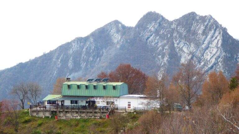
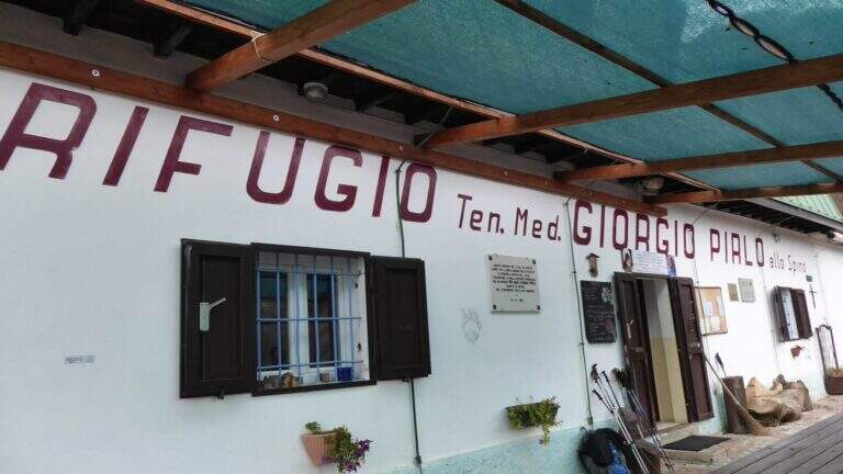
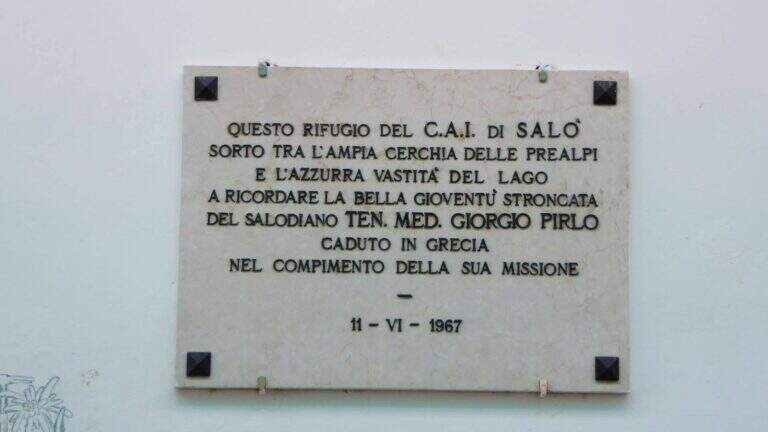
    Starting point San Michele, at Gardone Riviera (crossing Brescia del Garda): from San Michele you go towards the Val di Sura to the Restaurant Colomber, at a fork. Open road signs on Google Maps. You can park at the restaurant or keep the left on a road that soon becomes dirt and then dissected (recommended to the low cars), with several wide to the locality Verghere. From the restaurant continue on the road on the left to Verghere, then on the CAI path 201, guadando due volte il torrente Barbarano (attenzione a seguire i segni CAI, talvolta ingannevoli) fino al bivio di Cascina Gemelle (950 m, 1h dal parcheggio), dove si tiene la sinistra in salita verso il Rifugio Pirlo allo Spino e la ferrata; un ripido sentiero porta al bivio segnalato per la Spigolo della Bandiera (1h 10' dal parcheggio, 1h 30' dal ristorante).

    ▲The path

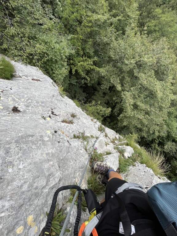
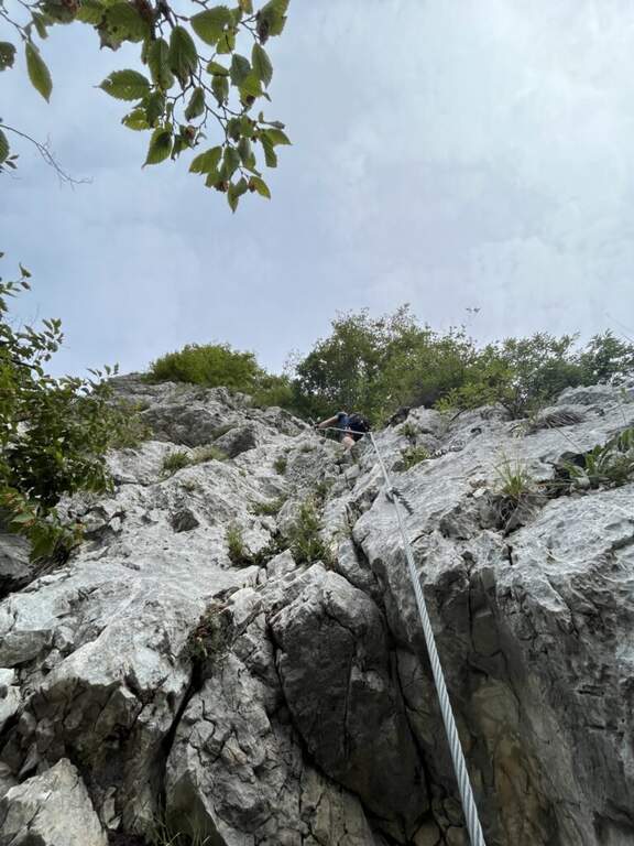
    The road begins with a medium-traverse of difficult-to-grave; to the left to a vertical wall on the right side of the edge: part quite entangled, with a couple of challenging passages for the small hooks, up to a nail beyond which the edge becomes più easy and pleasantly climbable, albeit aerial (attention to the stability & agrave; of some blocks). You reach a rough terrace where to stay. On the new track 2019, from the terrace you move to the left in an exposed area, crossing on smooth rock and difficult to climb, up to good supports for the feet leading under the new key step: a overhanging wall of 4-5 meters, where two brackets help the first two meters but the rest is probably going over the cable. You get under the characteristic passage of the old track, which goes right up a wall with l' aid of a bracket, reconnecting just above all' original itinerary on the terminal crest. Quest' last stretch è exposed but not difficult, with the cable that mainly acts as a handrail; finished the equipment, the path leads to the top flag (30' from' attack, 1h 40' totali).

    ▲Character and difficulty

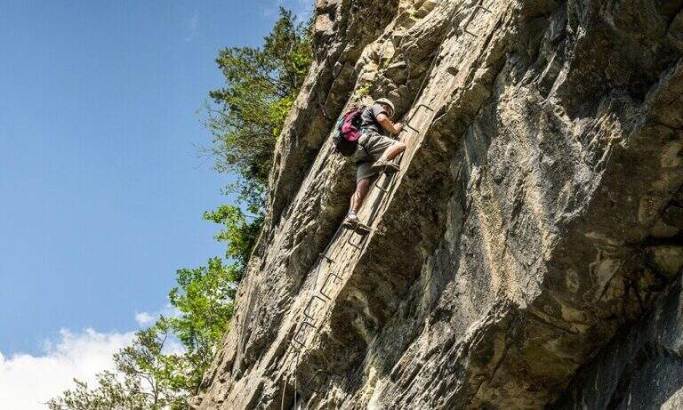
    Short but exposed, good test bench after the first easy ferrates: vertical, with stretches free of natural or artificial hooks in which you need to pull up of arms with a certain athleticity. The rock is however good and in many ways gives idea of stability.

    ⚠ Strong exposure along almost the entire route, with a peak in the last passage before the final crestine. The new 2019 track does not reduce the difficulties but increases them, with the overhanging step as a key point.

    ▲Period and safety

    GPS tracks are available (GPX and KMZ); for the area is useful the map of the 4Land Alto Garda Bresciano Park.

    ▲Discipline

    Dal termine si segue la traccia più marcata a sinistra verso il Rifugio Pirlo (da cui il sentiero direttissimo riporta al bivio della ferrata e all'auto, 3h totali), oppure a destra verso il Passo dello Spino e poi il CAI 1 fino al bivio dell'andata (3h 30' totali); in alternativa l'ampia forestale riporta al Ristorante Colomber (4h totali).

    ▲To match

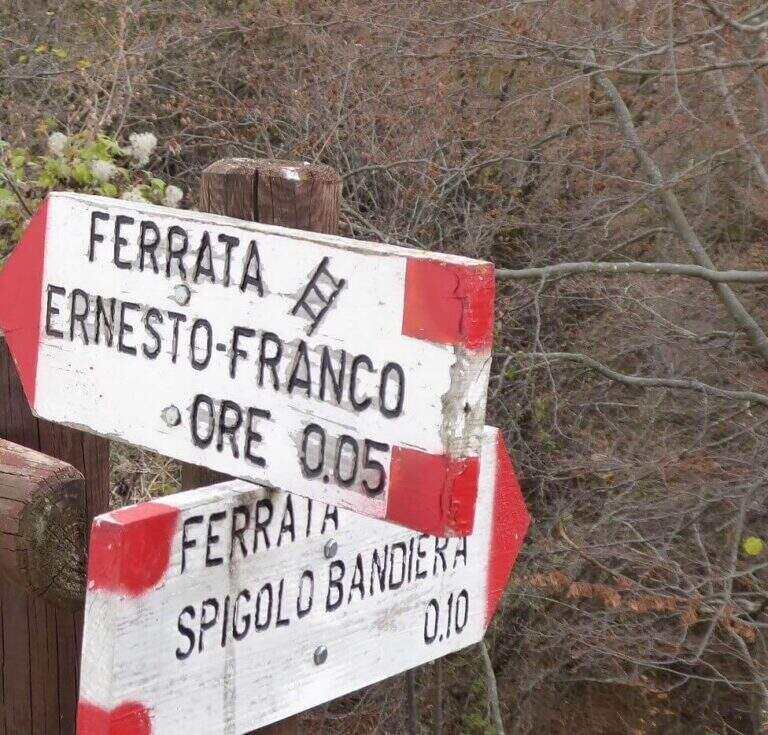
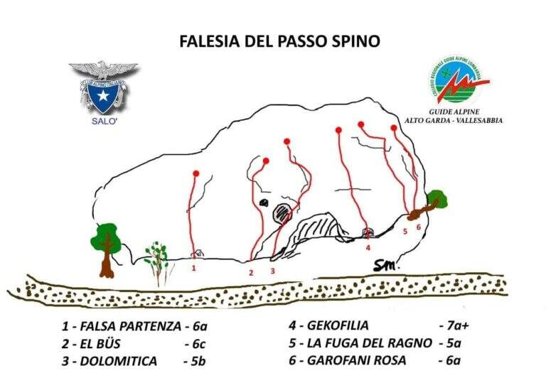
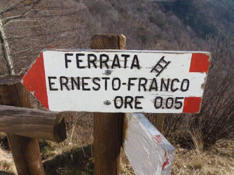
    The nearby Ferrata Ernesto Franco, an ideal time to match, was dismantled and replaced by a cliff equipped at the Pirlo refuge. Returning, you can continue towards Sentiero Sperone del Crocefisso o, towards Lake Idro, la Ferrata Crench and the neighbors ♪ e Gypsies.

    ▲Gallery
    Technical data
    • DifficultyModerately Hard
    • RegionLombardy
    • GroupAlto Garda Bresciano
    • Approach1:10 h
    • Ferrata0:30 h
    • Itinerary (a/r)3:00 h
    • Hardware level difference100 m
    • Route difference650 m
    • Max1165 m
    • Length11,6 Km
  • Ferrata Steinbergerweg

    Ferrata Steinbergerweg

    Vie Ferrate › Friuli-Venezia Giulia › Udine
    Ferrata Steinbergerweg
    Moderately Hard● OpenDescriptionComplexityMapsGallery

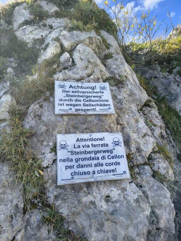
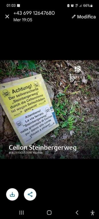
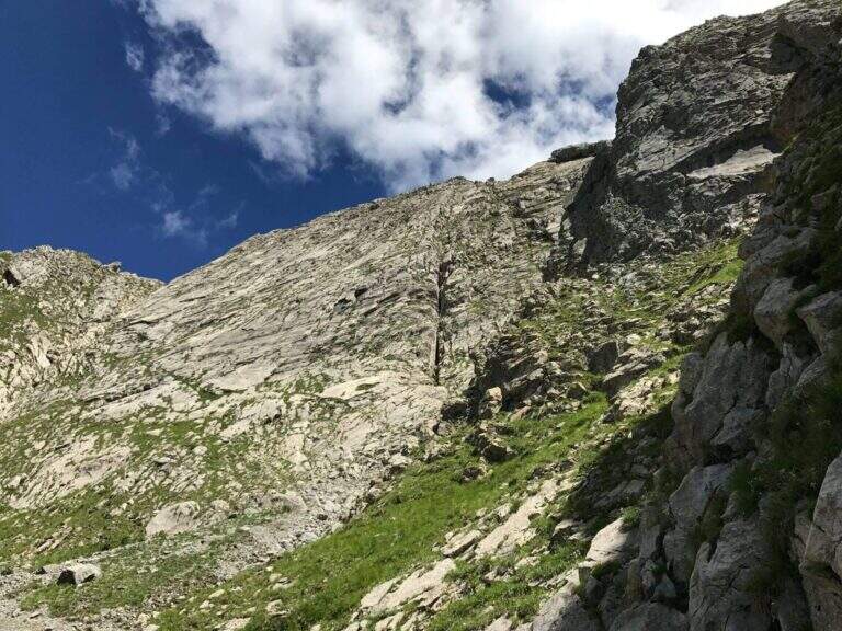
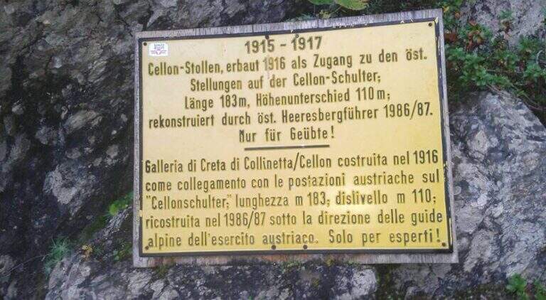
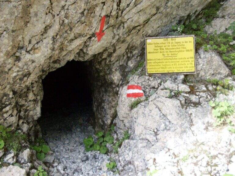
    La Ferrata Steinbergerweg retrace the historic climb on the north-eastern wall of the Crete Collinetta (Cellon), opened during the Great War by an Austrian military expedition led by Major Steinberger. Salt without excessive difficulty; long gorges and colatoi, and è of great historical interest for the numerous testimonies of the fighting. Difficultà medio-bassa in the equipped sections.

    ▲Approach

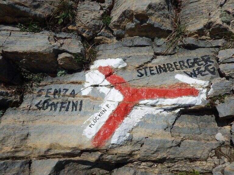
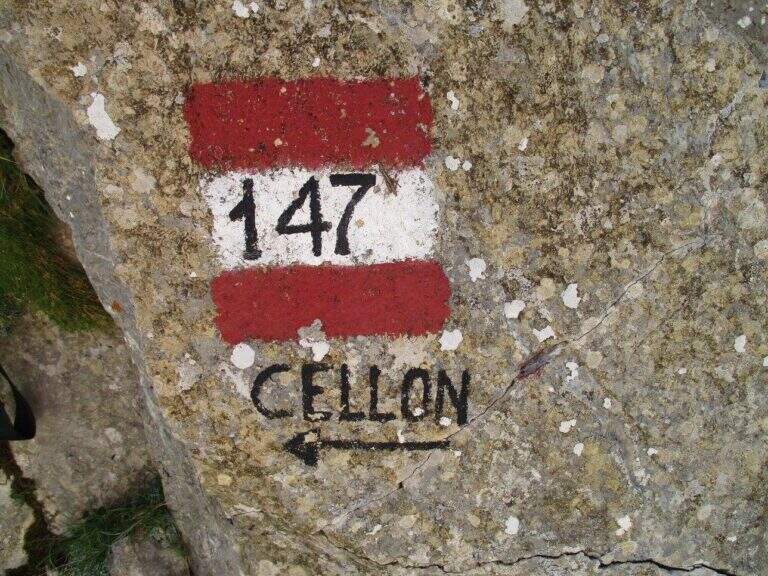
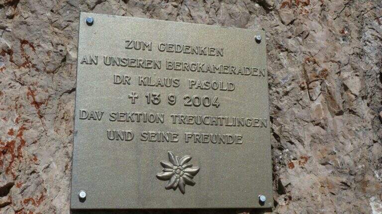
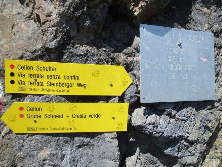
    Starting point the Passo di Monte Croce Carnico (1360 m), on the Italian-Austria border, reachable in about 40' from Tolmezzo (Udine) to the SS 52b. Open road signs on Google Maps. You can climb from the Austrian side (with the option of crossing the Cellon war tunnel, described in the sheet of the Ferrata Senza Confini) or from the Italian one, described here: longer but less challenging. From the parking lot follow the signs 146 on comfortable mule track on the southern side of the ridge, until you cross the path 147 for the Cellon (from the Marinelli Refuge); taken on 147 to the right you climb più decided along a war mule track with exposed cenges and short tunnels until the Schulter Contrafforte (1736 m). Continue on rocks and mug, paying attention not to lose the track, until a crossroads marked on rock (left the Senza Confini, right the Steinbergerweg): holding the right, on the gravel and then cutting in altitude the north-eastern wall, you reach l' attack, with a marble plate in German (1870 m, 1h 30' from the parking ).

    ▲The path

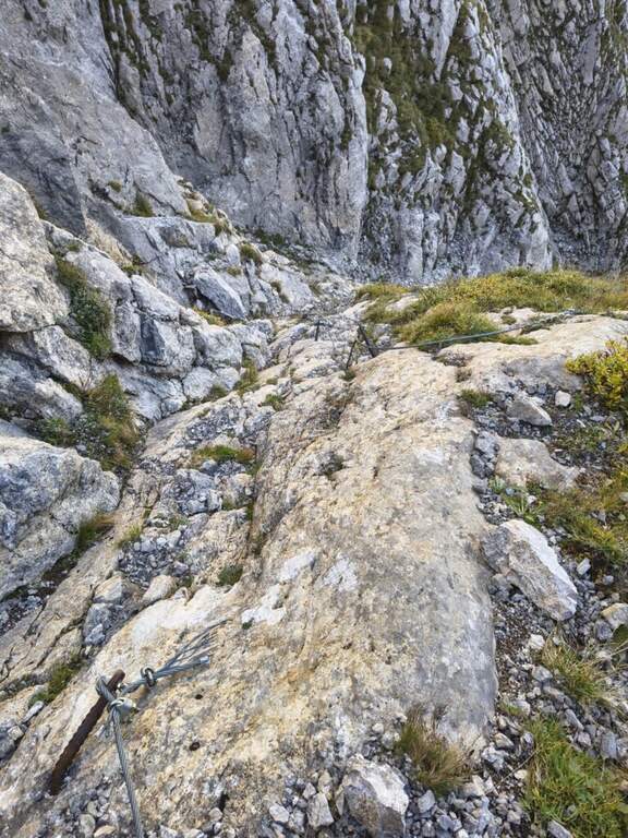
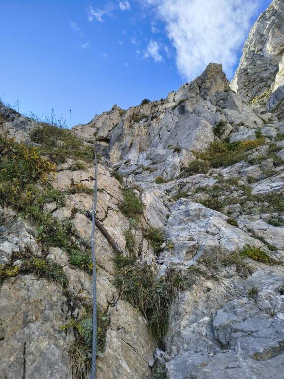
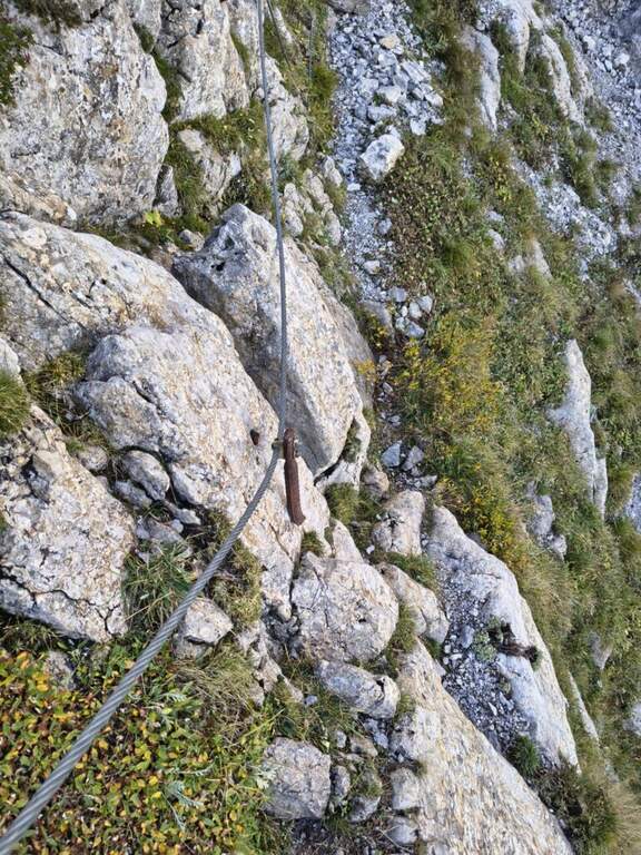
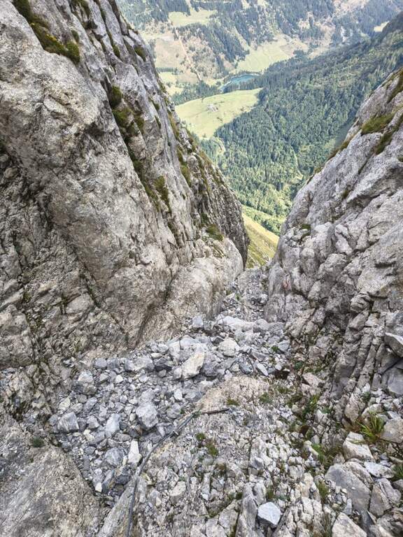
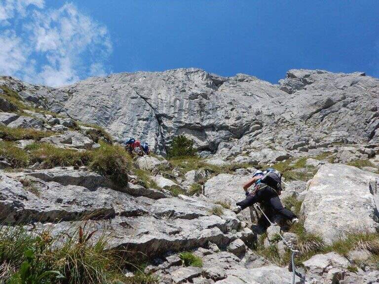
    The route follows the route followed by Austrian soldiers. A colatoio rises and gradually crosses left onto rocks and grass in discreet exposure (attention to the bottom and unstable rocks; the cable è instead it has been recently renovated). We then move to a gola rocky where we face many equipped stretches, with some free climbing passage (maximum I+) and unstable stones. The cable is found on the left side, climbing steep passages towards a short ridge, then a last colatory with l' aid of the rope up to a grassy saddle where the cables end and join the paths from the Senza Confini and the Italian side (2103 m, 1h from' attack, 2h 30' totali). On clear track you climb all' east anticyme and, among many remains of the Great War, to the summit of the Crete of Collinetta (2241 m, 20' from the end of the ferrata, about 3h totali), with metal cross and memorial plaque.

    ▲Character and difficulty

    Pleasant, medium-low difficulty and very climbing: apart from the initial cross-section and a couple of more vertical steps, it is devoid of objective difficulty.

    ⚠ Beware of the few unprotected steps where you climb and the unstable rocks along gorges and colatoi. The words "Creta di Collinetta" and "Cellon" are used indistinctly.

    ▲Period and safety

    GPS tracks (GPX and KMZ); the map of the Central Carnic Alps is useful for the area.

    ▲Discipline

    You return to the crossroads reached at the end of the ferrata and you go right on the path 147, Italian side, cutting horizontally; along the mule track you rejoin the path dell' approach to the parking lot (1h 30' from the summit, 4h 30' totali).

    ▲To match

    Shares a lot of approach and return with the most demanding Ferrata Senza Confini. From nearby Rifugio Marinelli you reach the attack of the difficult Ferrata to the north wall of Coglians; downstream of the pass the Path equipped Cuestalta. Further south, in the Carnic Prealps, the Cassiope, la Ferrata at the Clap Varmost e la 50 of the Clap.

    ▲Gallery
    Technical data
    • DifficultyModerately Hard
    • RegionFriuli-Venezia Giulia
    • GroupAlps Carnia
    • Approach1:30 h
    • Ferrata1:30 h
    • Itinerary (a/r)4:30 h
    • Hardware level difference358 m
    • Route difference868 m
    • Max2228 m
    • Length8,2 Km
  • Ferrata Speikboden

    Ferrata Speikboden

    Vie Ferrate › Trentino-Alto Adige › Bolzano
    Ferrata Speikboden
    Moderately Hard● OpenDescriptionComplexityMapsGallery

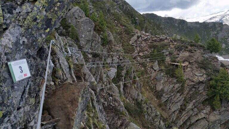
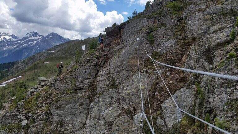
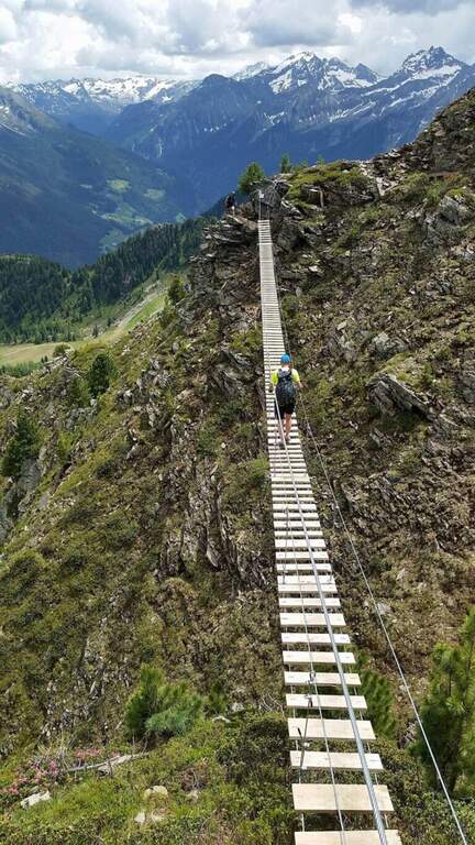
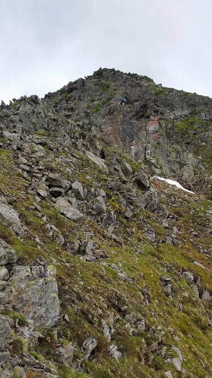
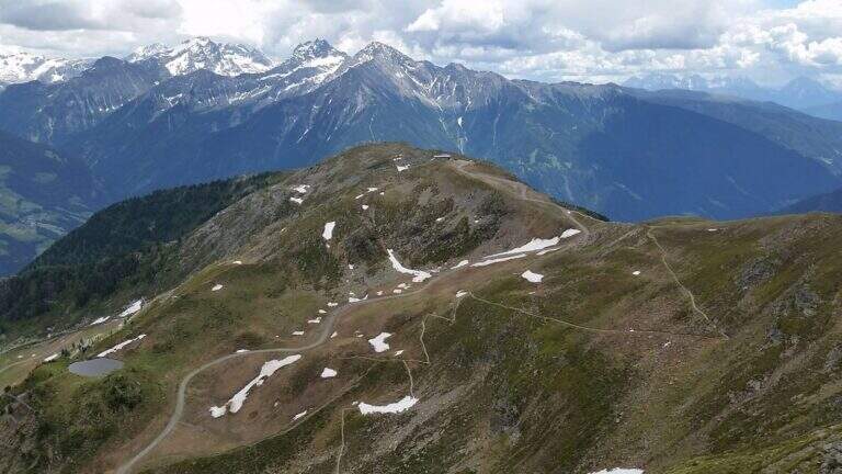
    La Ferrata Speikboden ` a recent route that climbs to the top of Speikboden, above Campo Tures in Valle Aurina. È of media difficoltà , very panoramic, with ring return and two fun suspended bridges; the ascent does not have difficulties; relevant techniques and, for those who ` accustomed to challenging, può routes; be climbing almost entirely.

    ▲Approach

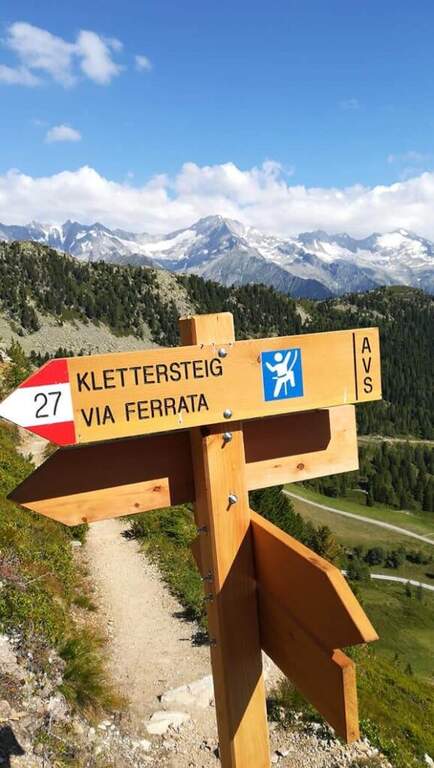
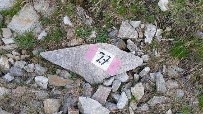
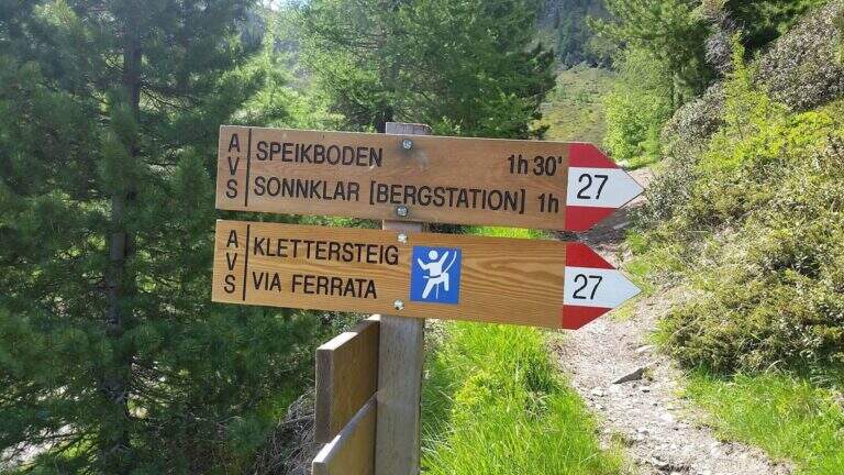
    Starting point is the valley station of the cable car of Costa di Tures, aboard the SS 621 in Valle Aurina. Open road signs on Google Maps. With the cable car you climb the first trunk up to Malga Speikboden (about 1970 m); from here you follow up to the southwest the path 27 with the first indications for the ferrata, up to a crossroads marked to the right where you leave the 27 and you reach l' attack (45' from the cable car).

    ▲The path

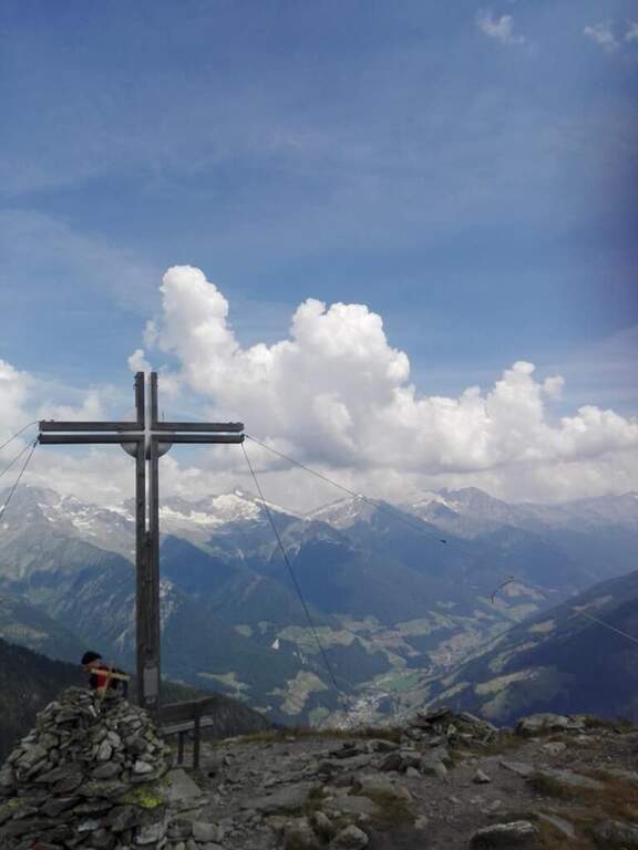
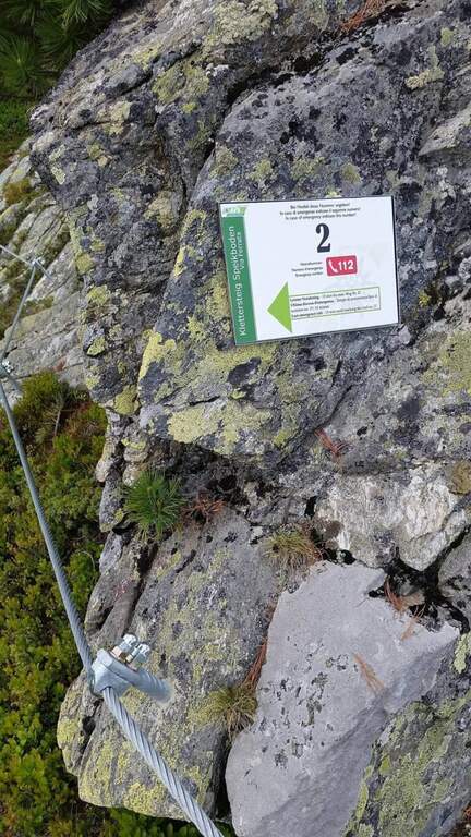
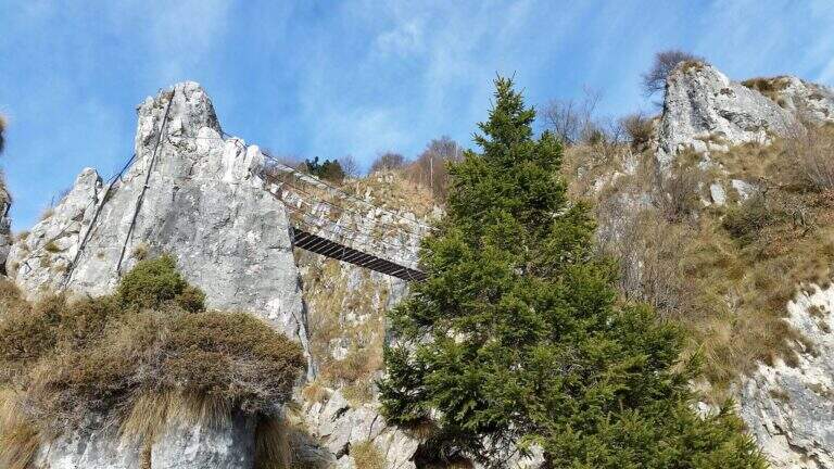
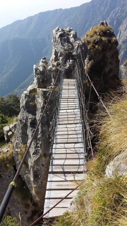
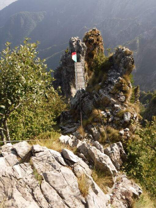
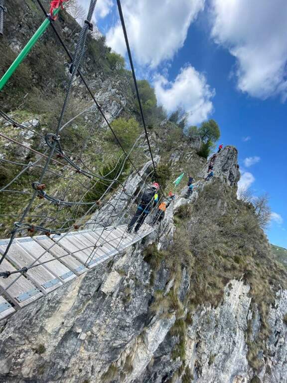
    Next to a wooden bench, near the green sign, the cable sticks on a diagonal ramp to the right; a first non-hard vertical leap and some small rocks precede a long stretch equipped with a connection without difficulty and agrave;. You reach the first suspension bridge at 4 ropee, stable but long and adrenaline, and shortly after a second bridge, still più long but with solid wooden boards, which closes the first section. After a stretch of path, the second section attacks vertically (arrampical), bends right onto some paths, continues on easy rocks up to a vertical passage of greater commitment, a short diagonal stretch and a last vertical tear; some small rocks close the equipment (2480 m, 1h 30' from' ) attack and for the path you will soon reach the peak of the Speikboden (2517 m).

    ▲Character and difficulty

    Average difficulty, without significant technical steps, made fun of the two suspended bridges and beautiful views of the Aurina Valley. It is part of a district that since summer 2021 also offers a Ferrata Kids (facial, for children) and a Ferrata Avventura (modern, with bridges, networks, stairs and passages on logs).

    ▲Period and safety

    GPS tracks (GPX and KMZ) are available. The return is ringed in both variants of descent.

    ▲Discipline

    Dalla croce dello Speikboden due opzioni, entrambe ad anello: verso sud si riprende il sentiero 27 in discesa fino a un bivio, da cui si torna alla funivia (eventualmente passando per Malga Sonnklar e il Dosso Sonnklar sul sentiero 26; 3h 30' totali); verso nord, tenendo la destra, si segue il sentiero 18 in quota fino al Dosso Grande (2400 m) e poi il 18A in discesa verso la funivia (2h 30' totali).

    ▲To match

    Complete the ferrates of the Aurina Valley, where the other two are for experts: the athletics Pursteinwand e la Fireplace / Steel at Monte Nero. Near Campo Tures the difficult Hans Kammerlander; towards Brunico Ferrata di Valdaora e la Piz de Peres; on the north side of the Odleshigh street Günther Messner e la Sass de Putia; towards Val Passiria la la Ferrata delle Cascate di Stuller.

    ▲Gallery
    Technical data
    • DifficultyModerately Hard
    • RegionTrentino-Alto Adige
    • GroupAurine Alps
    • Approach0:45 h
    • Ferrata1:30 h
    • Itinerary (a/r)3:30 h
    • Hardware level difference277 m
    • Route difference557 m
    • Max2517 m
    • Length6 Km
  • Ferrata Sass Rigais

    Ferrata Sass Rigais

    Vie Ferrate › Trentino-Alto Adige › Bolzano
    Ferrata Sass Rigais
    Moderately Hard● OpenDescriptionComplexityMapsGallery

    La Ferrata at Sass Rigais door on the highest peak of Val Gardena and Odle, to 3025 m, combining two equipped routes: the ferrata est e la south ferrata. The difficulties are medium-low on both, but the east has more accentuated vertical traits and it is therefore advisable to go uphill. Approach and return are long and challenging.

    ▲Approach

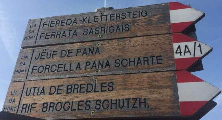
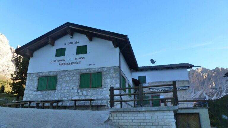
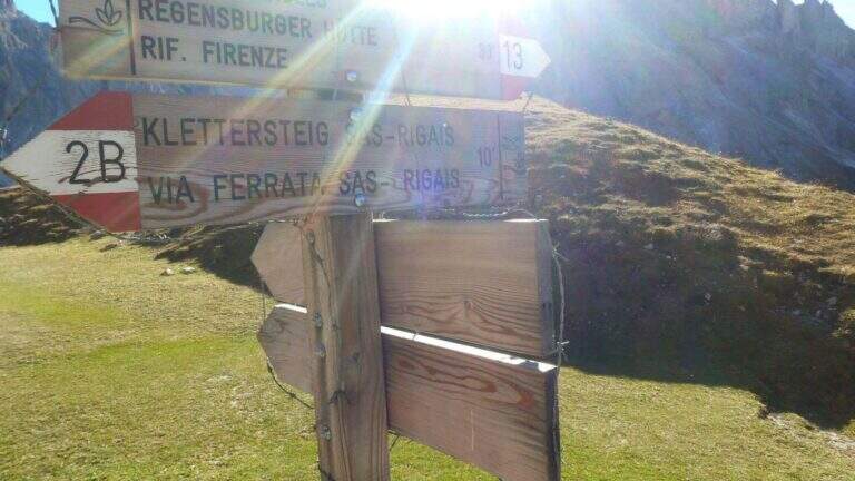
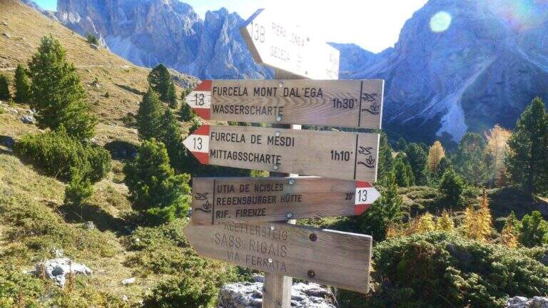
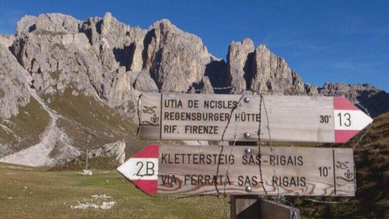
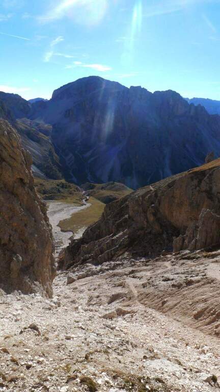
    Starting from the mountain station of the cable car that connects Selva di Val Gardena to the Rifugio Col Raiser (2106 m): from Selva you go towards Santa Cristina to the Strada Ruecia, where are the plants, parking in the wide beach in front. Open road signs on Google Maps. From the upstream station follow signs for Sass Rigais to the north-east, signpost 4, up to the Rifugio Firenze (2040 m), reached in a few minutes of ascents on road. From the refuge the path 13 punta dritto al Sass Rigais fino al bivio presso il Plan Ciautier (2322 m, 1h dalla stazione a monte): qui si può tenere la destra e salire il lungo vallone detritico della Val Salieres (per la ferrata est) oppure la sinistra col segnavia 29 verso la Forcella de Mesdì (per la ferrata sud). In questa relazione si sale dalla est e si scende dalla sud. Tenuta la destra e risalito il vallone detritico tra Sass Rigais e Furchetta, si raggiunge la forcella che li separa (2696 m, 2h 15' totali), con vista sulla Val di Funes; si tiene poi la sinistra per salire su traccia con bolli rossi la placca est fino alla sella d'attacco (2800 m, 2h 30' totali).

    ▲The path

    La east ferrata inizia su roccette ben appigliate, dove il cavo serve da sola autoassicurazione; si supera una fessura e una rampa verso sinistra fino a un punto verticale che si affronta con un breve traverso a sinistra su semplici chiodi e poi in verticale su ampie e solide staffe. Seguono ancora roccette senza difficoltà e un canalino roccioso verso destra; usciti dal canalino si vede la croce sommitale. Una serie di balzi rocciosi alternati a facili roccette porta alla crestina finale e alla croce del Sass Rigais (3025 m, 1h dall'attacco, 3h 30' totali). Per la discesa si imbocca la ferrata sud: ci si dirige a sud lungo una crestina sommitale a tratti non protetta, poi su una lunga serie di roccette, rampe inclinate e balzi di difficoltà medio-bassa con cui si perde rapidamente quota fino a innestarsi in un sentiero ripido; un ultimo balzo con una rampa e un salto più verticale presso una passerella in legno chiude le attrezzature (1h dalla vetta, 4h 30' totali).

    ▲Character and difficulty

    Medium difficulty Ferrata that leads on a three thousand of the Odle-Puez; the combination of a uphill road and a downhill road makes it pleasant also for the expert ferratista.

    ⚠ The approach is long and challenging. Attention to the quota and to the fact that there are no escape routes other than the ferrates themselves: to avoid with unstable time. Nothing prohibits taking the route in reverse direction or getting off the same way uphill.

    ▲Period and safety

    GPS tracks (GPX and KMZ) are available; the map of Val Gardena, Val di Funes and Alpe di Siusi or Val Badia di 4Land is useful for the area.

    ▲History

    Sass Rigais is the highest mountain in Val Gardena and Odle. Reinhold Messner went up with his father only five years, well before the construction of the via ferrata.

    ▲Discipline

    From the end of the equipment you descend to the valley for a gravel valley towards the Plan Ciautier; at a crossroads you can può keep the right for a shortcut marked towards the Col Raiser (reent about 1h, totale about 6h).

    ▲To match

    In Val Gardena you can join the ferrates Small e al Gran Cir near Selva; towards the Sella Group the overview Tridentine; towards Passo Sella, in an increasing order of difficulty Ferrata at the Col Rodella, la Schuster at Sassopiatto e la of the Mesules at the Piz Selva.

    ▲Gallery
    Technical data
    • DifficultyModerately Hard
    • RegionTrentino-Alto Adige
    • GroupOdle
    • Approach2:30 h
    • Ferrata1:00 h
    • Itinerary (a/r)6:00 h
    • Hardware level difference225 m
    • Route difference870 m
    • Max3025 m
    • Length9,7 Km
  • Ferrata Selvaggio Verde (Val Grande)

    Ferrata Selvaggio Verde (Val Grande)

    Vie Ferrate › Piemonte › Verbano-Cusio-Ossola
    Ferrata Selvaggio Verde (Val Grande)
    Moderately Hard● OpenDescriptionComplexityMapsGallery

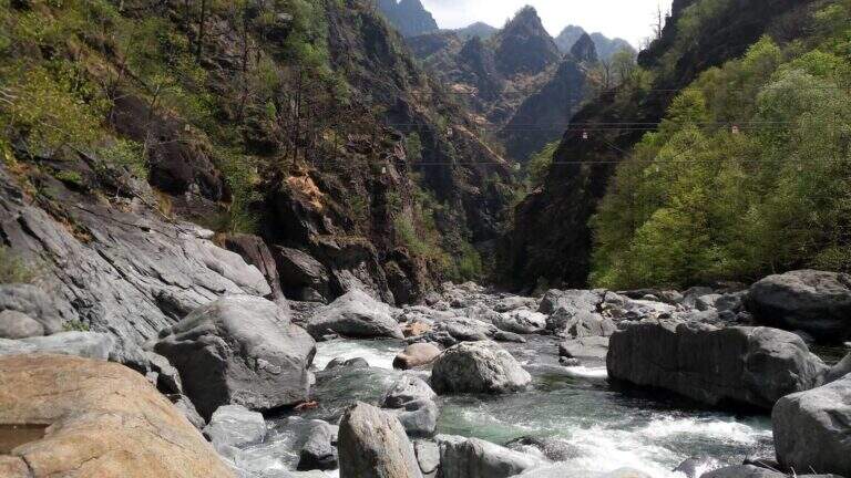
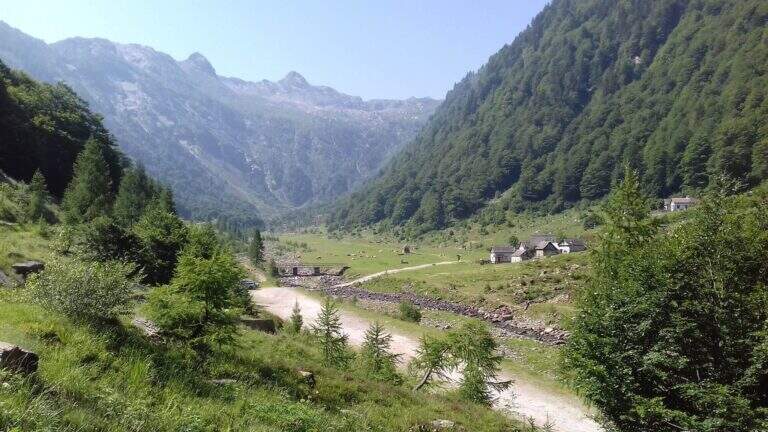
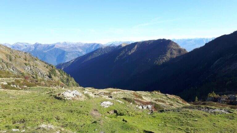
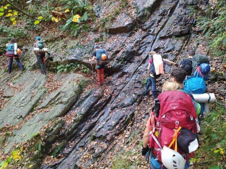
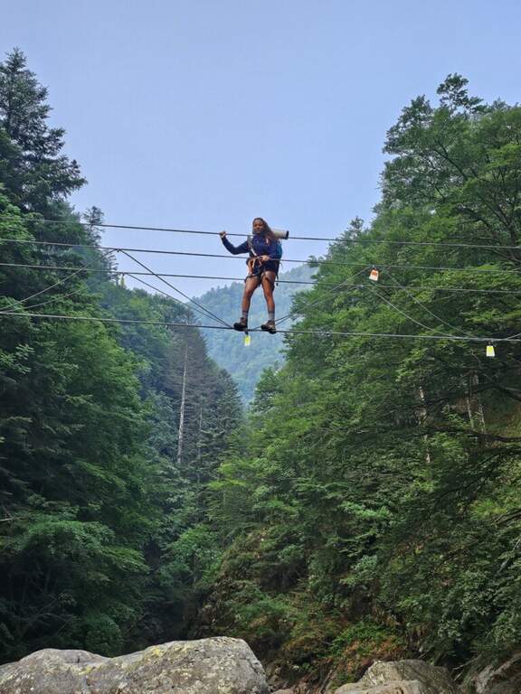
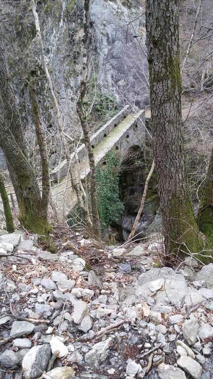
    Inaugurated in 2022, la Ferrata Selvaggio Verde along the long bore of the Rio Val Grande connecting with many stretches equipped «In the Piana» e «Ponte Velina». Non è né a modern né ferrata; a dolomitic way, but a long itinerary «selvaggio» in the heart of one of the più parks; beautiful in the Central Alps. Difficultly accessible on the day, it should be broken in two days using d' points; support along the route. The classification « always difficult to understand; is valid only for the equipped sections: to make it really challenging are the length and distance, for experienced and well trained hikers.

    ▲Approach

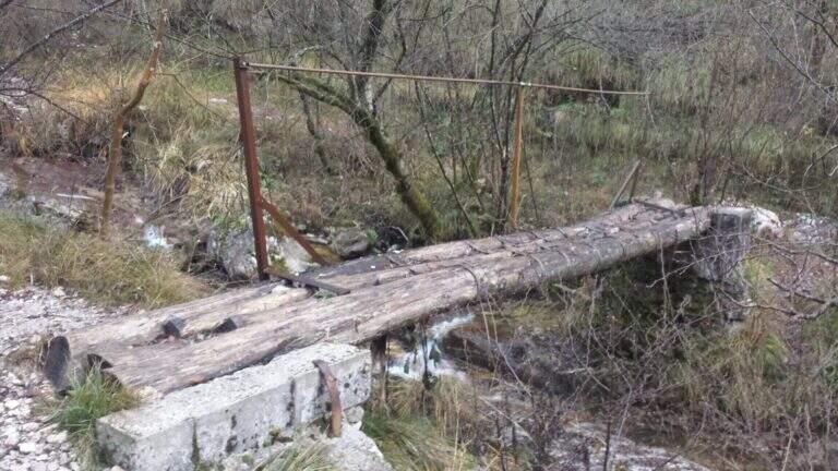
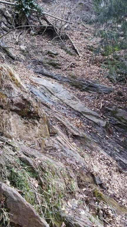
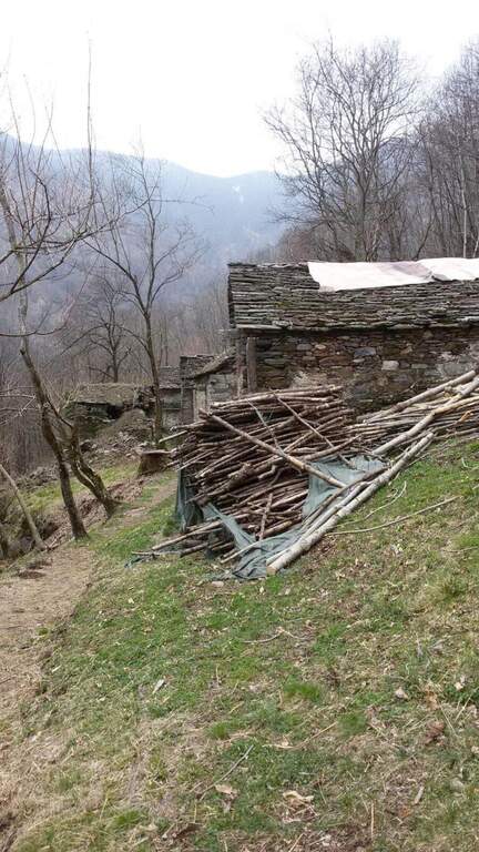
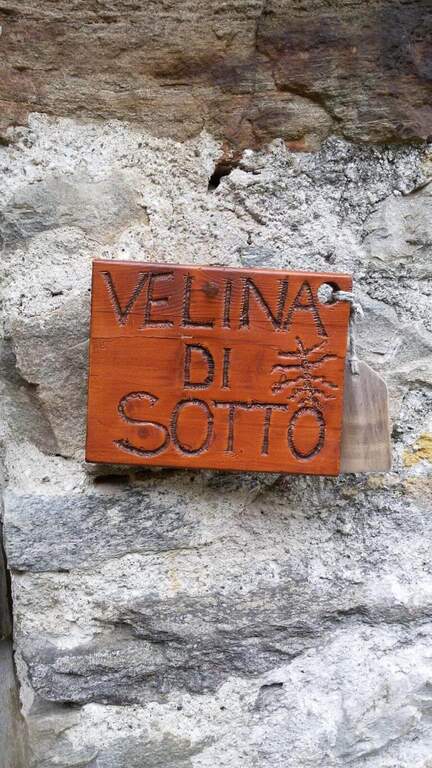
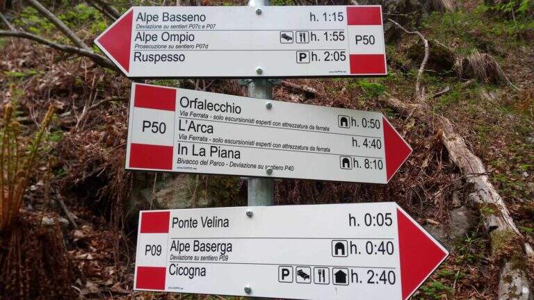
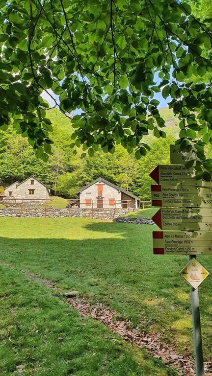
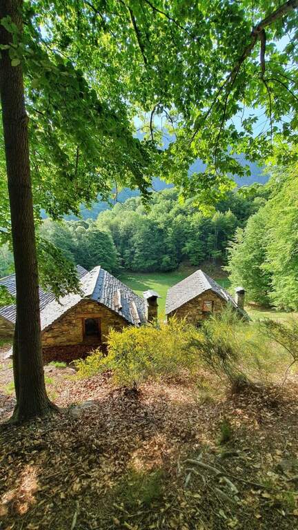
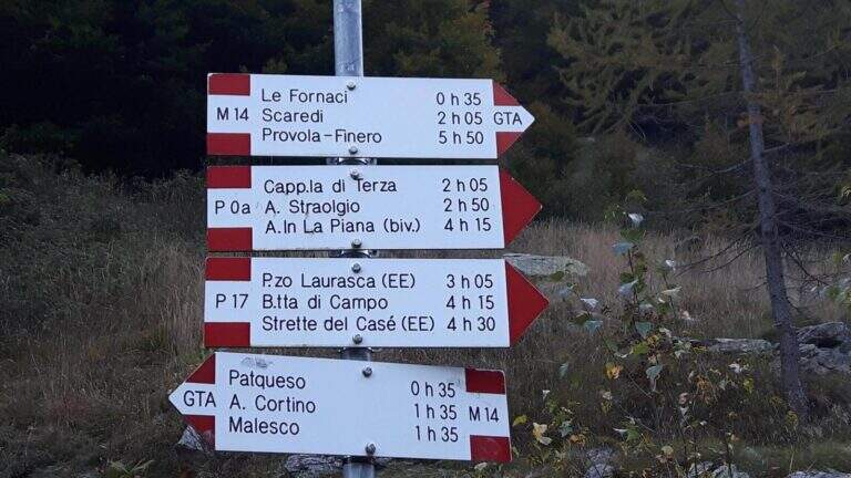
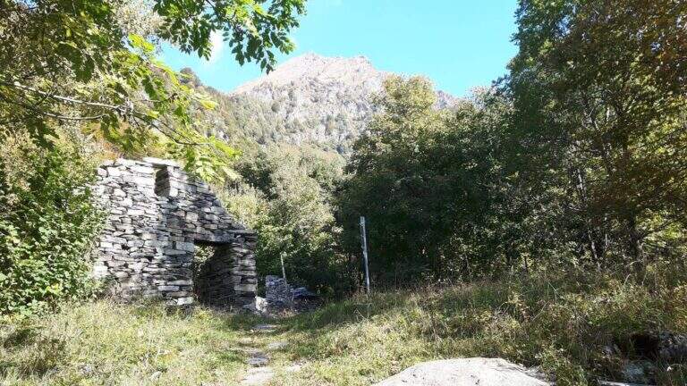
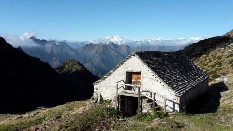
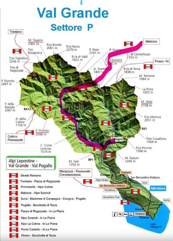
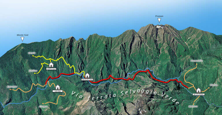
    L' itinerary can be arranged by più points; here we consider the departure from the village of Cicogna (VB) towards In La Piana and then down to the Loana Valley. Open road signs on Google Maps. The non è : l' ideal è have two cars. At the cemetery of Cicogna there is a dirt road for about fifteen minutes on a false plateau, over huts and alpine pastures, tillché it becomes a path that enters the park of the Val Grande with a series of uphills between ruins and old huts (some stretches già equipped for safety). Enjoy the Velina stream, you reach the ' Velina mountain pasture and then the Ponte Velina (about 3h from the parking lot), where the real route begins.

    ▲The path

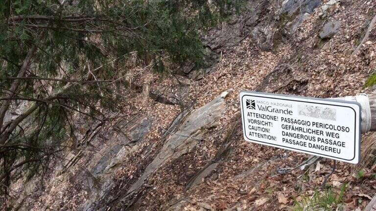
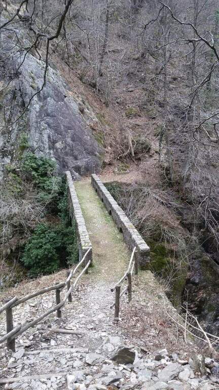
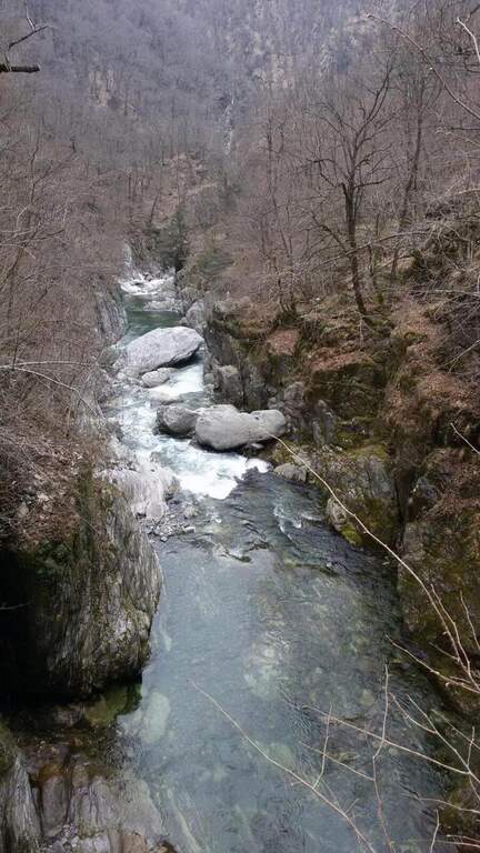
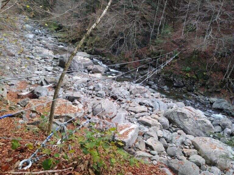
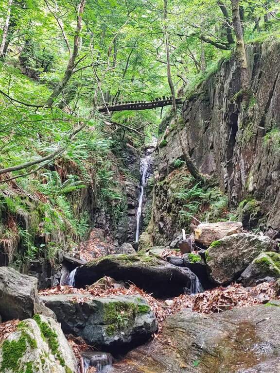
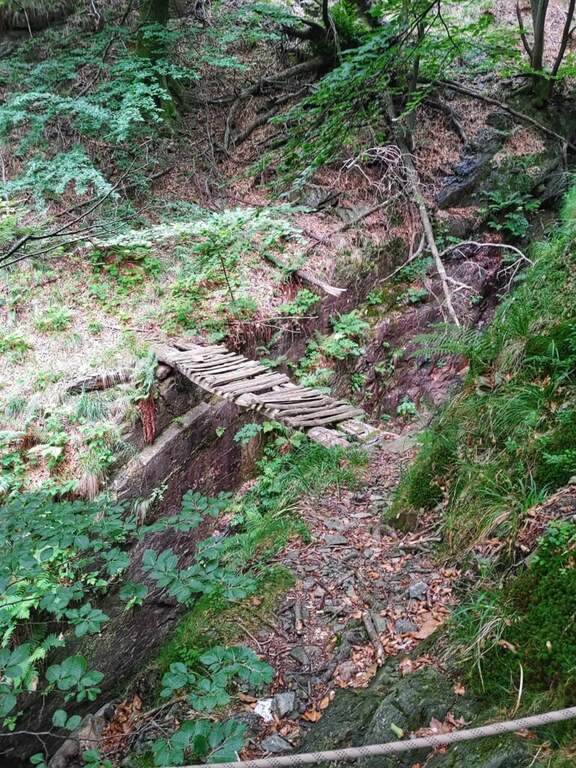
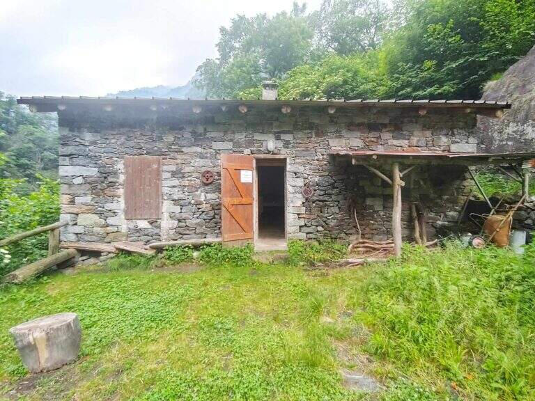
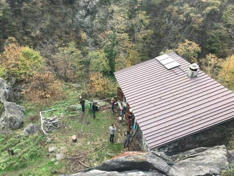
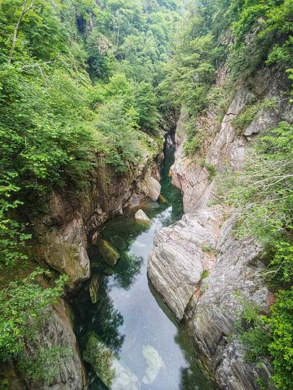
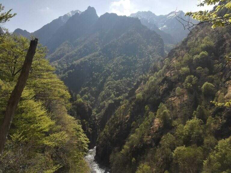
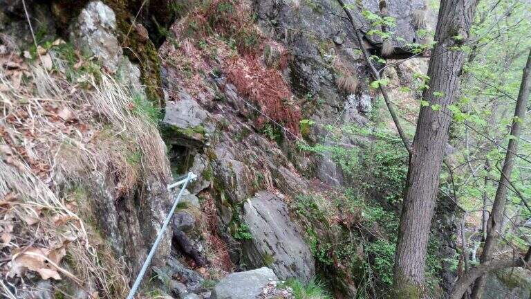
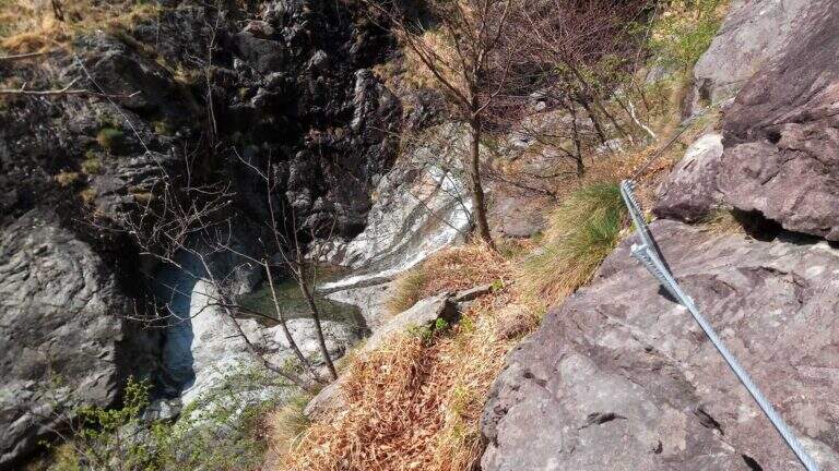
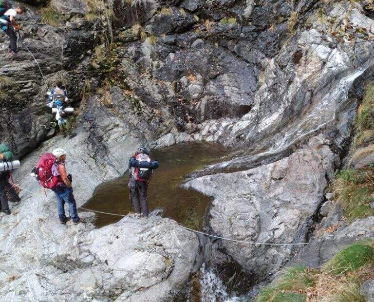
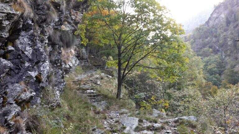
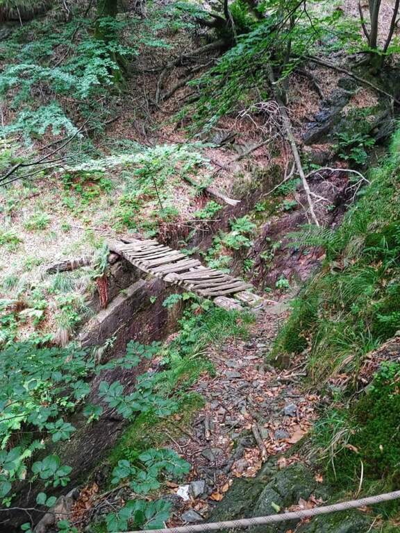
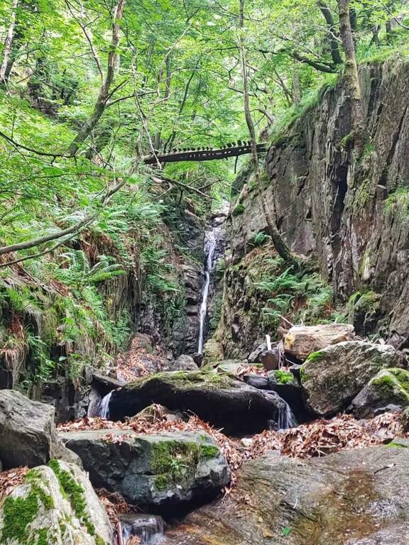
    The fully equipped stretch takes place between Ponte Velina (478 m) e Alpe In La Piana (895 m), faithfully following the Rio Val Grande in an isolated and wild environment. The distance is about 11 km for about 450 m of altitude difference, but among the continuous climbs the real difference is much greater. The equipped path is marked P50 and alternating stretches exposed to other exposed unprotected, with 2 suspension bridges, several wooden walkways rather old (to check its on-site hold), ladders and long stretches of path. About a third of the route, after 2h 30' from Ponte Velina, there is a stone bivouac in localities; Orphalecchio (590 m); just before a possible return route to Ompio and Sciellina, on the left, avoids the hole and the equipped sections. The road continues along the valley between very green walls, cliffs and exposed paths, with suspended bridges and a couple of cheeks; it is necessary to follow the red stamps and a trace at times hidden by the high grass. After about 7-8 hours from' start of the equipped section you reach Alpe In La Piana, where you can può bivacking (about 10h total).

    ▲Character and difficulty

    More than a ferrata, it is a long wild trekking with numerous stretches equipped, exposed and at times slippery.

    ⚠ Itinerary long and isolated: the support points are not managed, so they serve food, sleeping bag and the necessary for the bivouac (the huts usually have stove, tables and tables). Cell phones have no cover on the whole route. Several wooden catwalks are old: check the seal on the spot. The area is a protected area (a section falls into the Monte Pedum Integral Reserve, in ZSC and ZPS of the Natura 2000 Network): do not leave waste.

    ▲Period and safety

    Given the absence of managed support points it is highly recommended to bring a map of the area to orientation (for cartography, map of Val Grande). Alternative starting points: Bignugno, Ruspesso or Sciellina; alternative return to Premosello or Mottac. The itinerary can also be routed in the opposite direction. An official GPS track is not available for this route.

    ▲Discipline

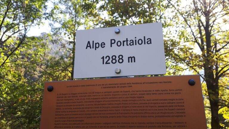
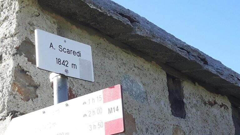
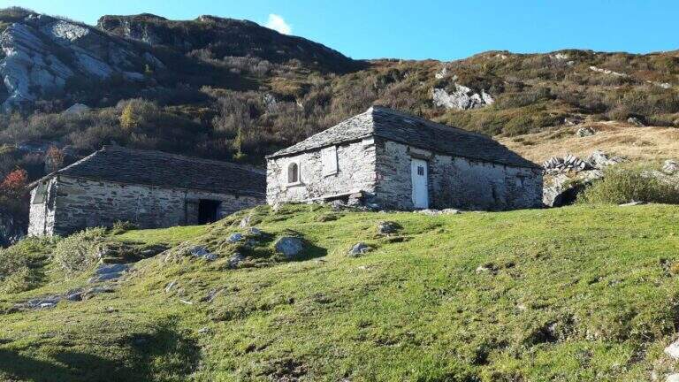
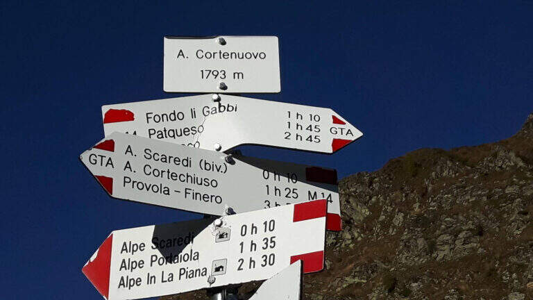
    Da Alpe In La Piana, per raggiungere il parcheggio in Valle Loana si calcolano circa 4h: si segue il sentiero P30 verso Alpe Scaredi e poi l'M14 verso Fondo Li Gabbi, dapprima in salita toccando Alpe Portaiola (1288 m, ruderi), Alpe Scaredi (1842 m) e Alpe Cortenuovo (1793 m), quindi in discesa (circa 14-15h complessive).

    ▲To match

    In Val Grande there are no real ferrates; wanting, between the streets of the Verbano and the Ossola signal the new Ferrata di Montorfano e la Ferrata Walserfall not far from Cicogna; further north the long climb of Ferrata at Pizzo d'Andolla; on Lake Maggiore Picasas e la Miccia near Baveno.

    ▲Gallery
    Technical data
    • DifficultyModerately Hard
    • RegionPiedmont
    • GroupVal Grande
    • Approach3:00 h
    • Ferrata8:00 h
    • Itinerary (a/r)15:30 h
    • Hardware level difference450 m
    • Route difference1500 m
    • Max1842 m
  • Ferrata Sasso delle Nove (Cima Nove)

    Ferrata Sasso delle Nove (Cima Nove)

    Vie Ferrate › Trentino-Alto Adige › Bolzano
    Ferrata Sasso delle Nove (Cima Nove)
    Moderately Hard● OpenDescriptionComplexityMapsGallery

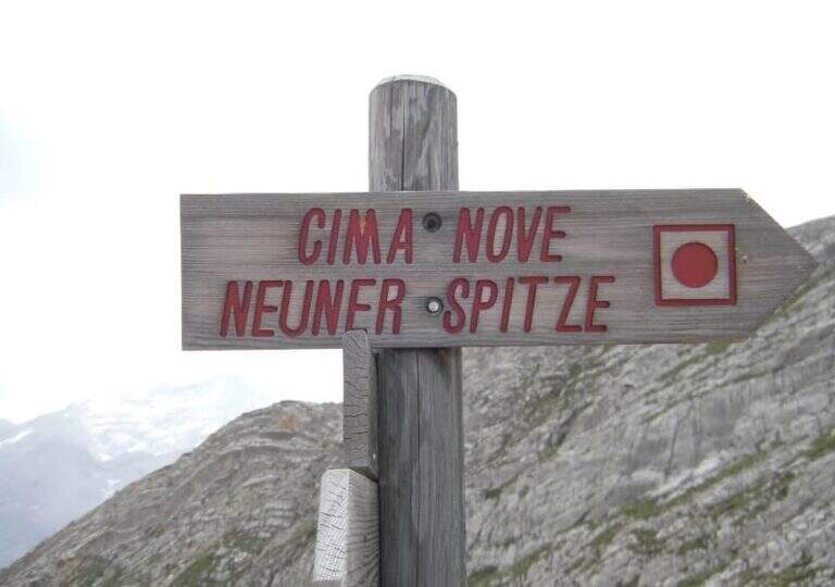
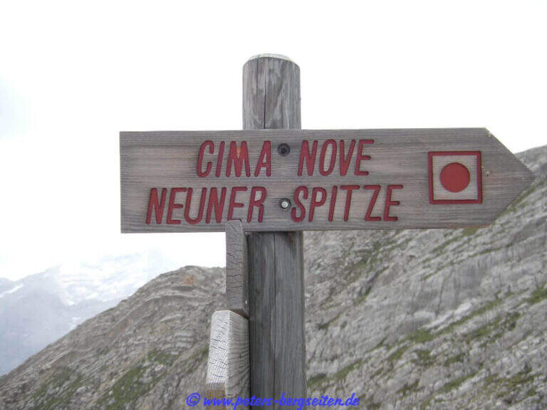
    La Ferrata in Cima Nove (Sasso delle Nove) is a short stretch equipped — the last 100 meters before the cross — placed at the end of a long and challenging high mountain route in Val Badia. Technically it is not prohibitive, but runs along a wall very exposed, especially on the southern placconata characteristic, in a solitary and austere environment with some exposed and unprotected passages. The summit touches the 2968 m.

    ▲Approach

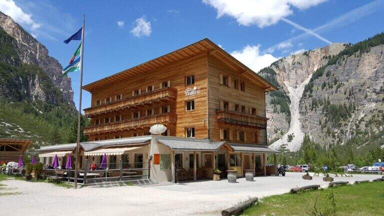
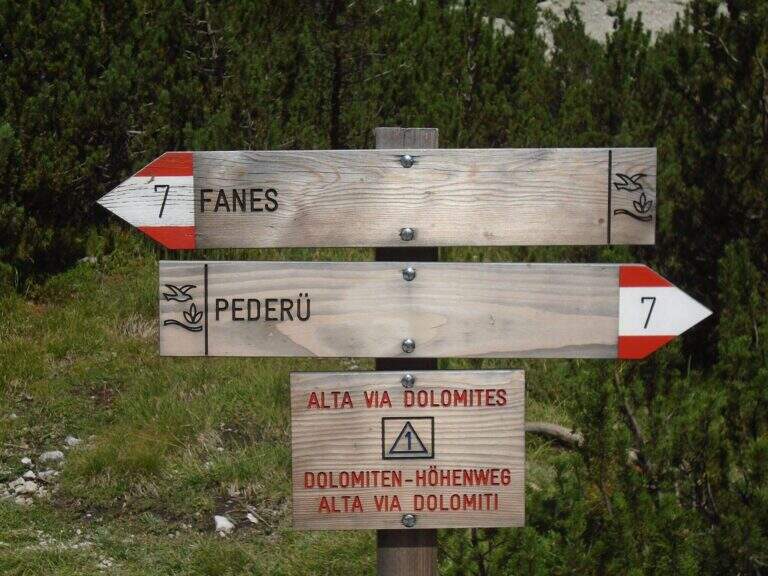
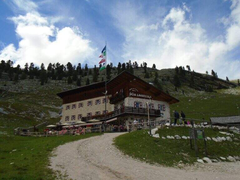
    Starting point the Rifugio Pederù (1548 m), reachable from San Vigilio di Marebbe following the signs «Pederù» già in the village, on asphalted road up to ' wide parking. Open road signs on Google Maps. From the hut follow the wide tourist path 7 to the south in the Fanes Valley, quickly touching the Pices Fanes Refuge (2007 m), the Fanes Refuge (2060 m, short optional deviation) and the Lavarella Refuge (2050 m, 1h 30' from departure). From here you take the marker 13 verso nord, a destra, sul Piano delle Sarenes, salendo costantemente fino al Passo di Sant'Antonio (Ju de Sant'Antone, 2466 m, 2h 30' totali). Si lascia il 13 e, seguendo il cartello, si sale verso est su un ripido ghiaione con alcuni bolli rossi e facili roccette fino a una sella prativa con vista su Cima Dieci e Cima Nove; qui i segni finiscono ma si segue a vista la cresta verso nord-ovest, fra precipizi su entrambi i lati, fino all'attacco delle attrezzature (2800 m, 3h 30' totali).

    ▲The path

    The ferrata exceeds about 100 meters. The first sections ensure a well-graded crest near the precipice of the north wall, più similar to an equipped path; then you move on the south side, più exposed, where the cable continues without difficulty; techniques on moderate slope up to a rock where the cable stops and resumes two pi & pigrave meters; ahead. Here begins the più tract; interesting: a long and plane traverse to the left on a smooth placconata to be covered in adherence. The cable then goes up più vertical towards a stretch of very aerial edge, on strong exposure, up to a difficult & agrave medium camino; — the passage probably più technical, però enough supported. Un' last tilted plaque and some exposed top rocks close the equipment (45' from' attack). Continue on gravel slope to the cross of Cima Nove (2968 m, 15' from the end of the equipment, 4h 30' totali).

    ▲Character and difficulty

    The road does not have any technical difficulties but it develops on a very exposed wall, with smooth and vertical plates that can put in difficulty those who have little experience or non-stop foot; the equipped passages however alternate at times without difficulty.

    ⚠ The return takes place through the downhill ferrata, to be faced with great attention given the exposure. The excursion is long and, after the first shelters, quite isolated: to travel only with stable time. Downhill, on the top floor, with fog or low clouds be careful to locate the canal where the equipment runs.

    ▲Period and safety

    Alternatively, you can start from Spescia (1549 m) in Val Badia by steeply climbing the path 13 along the Fanes Valley to the Ju de Sant'Antone: shorter as a distance but more tiring and steep (about 7h a/r). GPS tracks (GPX and KMZ) are available; the 4Land Val Badia map is useful for the area.

    ▲History

    The Sasso delle Nove is a particular mountain: its long sloped southern wall was climbed by the Messner brothers with three itineraries of pure adhesion (Direttissima, Heidi, Placche), at the end of the Sixties real test benches, finally faced with rigid boots. The most repeated is today the very Direct Messner.

    ▲Discipline

    The return takes place back along l' ascent itinerary, including ferrata (3h 30' from the summit, 8h totali).

    ▲To match

    Cima Nove is the northern peak of the Sasso della Croce Group, where there is also the often combined ferrata at the Sasso della Croce and Cima Ten. Further south on the group run Sentiero Attrezzato Tru Dolomieu and the long Ferrata della Pace; towards Lake Braies easy Ferrata di Valdaora alla Cima dei Colli Alti and, at the Furcia Pass, the Ferrata at Piz de Peres.

    ▲Gallery
    Technical data
    • DifficultyModerately Hard
    • RegionTrentino-Alto Adige
    • GroupRock of the Cross
    • Approach3:30 h
    • Ferrata1:00 h
    • Itinerary (a/r)8:00 h
    • Hardware level difference110 m
    • Route difference1424 m
    • Max2968 m
    • Length19 Km
  • Ferrata La Scala del Menighel

    Ferrata La Scala del Menighel

    Vie Ferrate › Veneto › Belluno
    Ferrata La Scala del Menighel
    Moderately Hard● OpenDescriptionComplexityMapsGallery

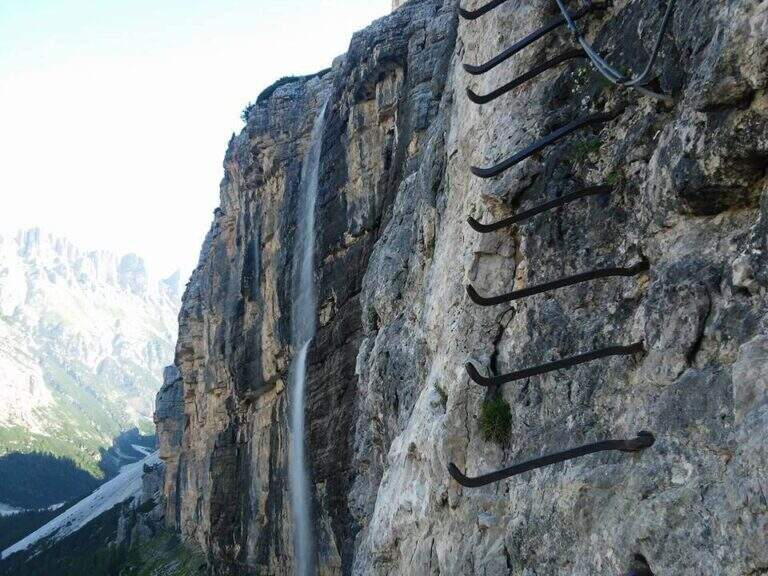
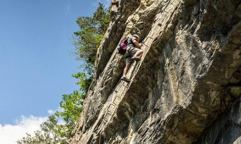
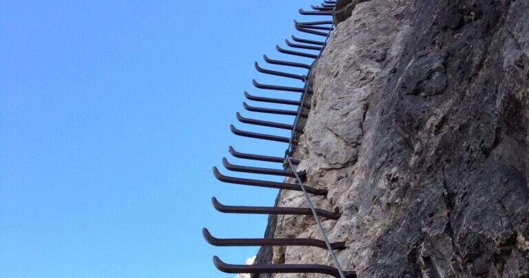
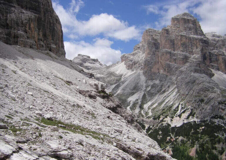
    La Ferrata Scala del Menighel è a short and unique stretch that, as the name says, è a true scala: a long series of metal frames that dates back to a bastion of about 100 meters on the north side of the Tofana of Rozes, cutting the valley of the Masarè. It is usually used to complete the tour at the base of the Tofana di Rozes by leaning to the Giussani Refuge. There is no difficulty; techniques of relief, but è exposta and the structure of the fixtures, dating back to the early twentieth century, requires concentration.

    ▲Approach

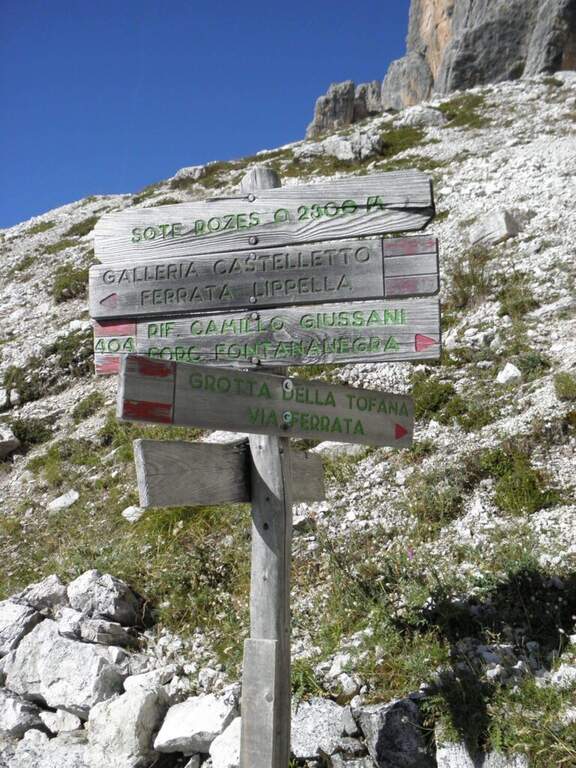
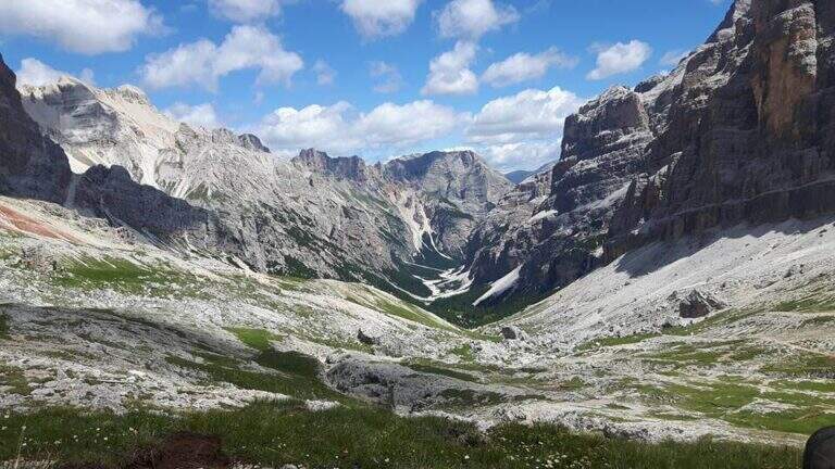
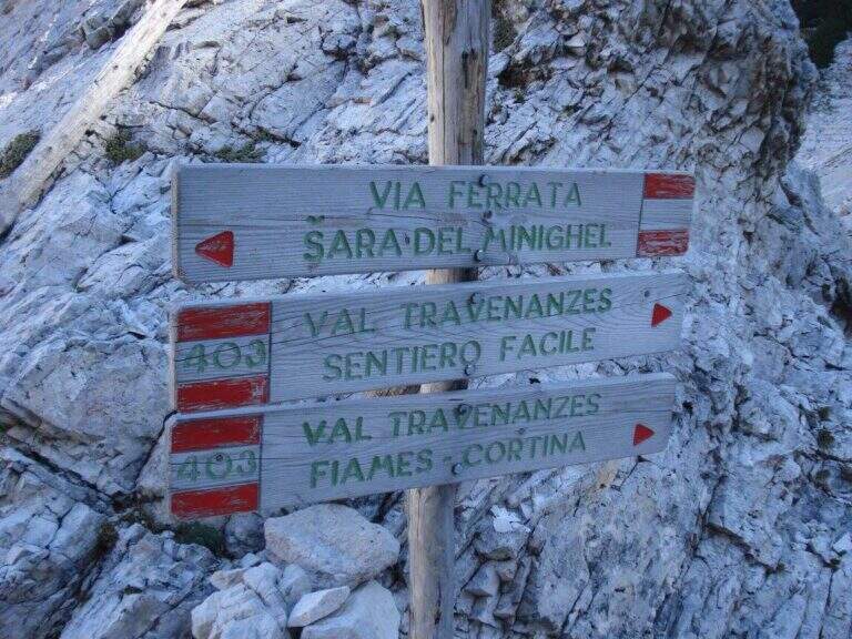
    Starting point the Rifugio Dibona, on the ampezzano slope south of the Tofana di Rozes, reachable by asphalted road that departs from the state Cortina– Passo Falzarego (follow the indications for the Rifugio Dibona, avoiding the junction for the Rifugio Duca d'Aosta). Open road signs on Google Maps. From Dibona take the path 403 on road, with modest slope, towards the south wall of Tofana; at a crossroad the 403 goes right towards the Giussani Refuge, but continue straight towards the south wall on the path 404, ignoring the bivi for the Ferrata of the Tofana Cave and for the Lipella/Gallerie del Castelletto. You reach the Forcella Col dei Bos and turn north into the Val Travenanzes, up to a fork on the right that leads to all' evident bastion of the Scala del Menighel (2h 30' from the Rifugio Dibona).

    ▲The path

    The ferrata è divided into two sections very similar. The first begins with a long series of fixtures, curves in the terminal tract, which rise diagonally to the left on a moderate gradient first then più vertical: the ascent has no difficulty; techniques, being a sequence of steps, but l' exposure quickly becomes evident. You can reach a census from which you can può admire calmly the waterfall that drops a hundred meters più to the left. The second section continues with the same fixtures, now bending to the right and with greater verticalità, until the end of the equipment (20' from' attack, about 3h totali).

    ▲Character and difficulty

    Due to the modest technical difficulties, it is also possible to hikers with moderate experience, but very exposed.

    ⚠ The fixtures date back to the early twentieth century: the ascent, although easy, requires concentration for their structure and exposure. The approach and return are long and tiring, and alone they would almost pass on the second floor the brevity of the equipped section.

    ▲Period and safety

    GPS tracks (GPX and KMZ) are available; the map of Cortina and the Dolomites of Ampezzo or the Val Badia of 4Land is useful for the area.

    ▲History

    The Scale of Menighel is first via ferrata of the area of Cortina d'Ampezzo. Luigi Gilarduzzi, called "Minighèl", blacksmith and manager of the Wolf von Glanvell Refuge in Val Travenanzes (drawn by the Italian artillery in 1915). To connect his refuge to the Giussani Refuge (then Cantor), Gilarduzzi forged 200 robust metal pioli that in 1907 they became the "Scala del Menighel".

    ▲Discipline

    The return is ringing around the Tofana of Rozes. From the end of the ferrata, under the north wall, climb steeply on the path 403 with a series of hairpin bends up to the Giussani Refuge (2580 m, 1h from the end of the ferrata); from here, always for the 403 narrow between the Tofana of Rozes and Punta Anna, you descend to the Rifugio Dibona (1h from Giussani, 2h from the end of the ferrata, 5h totali).

    ▲To match

    Often it matches downhill to Ferrata Lipella that goes up to the Tofana of Rozes. From the Giussani refuge you can reach Ferrata Formenton at Tofana di Dentro e il Sentiero Attrezzato Olivieri; by Dibona Path equipped Astaldi. To the Falzarego Pass Tomaselli, la Fuses at Sas de Stria e l'Averau.

    ▲Gallery
    Technical data
    • DifficultyModerately Hard
    • RegionVeneto
    • GroupTofa
    • Approach2:30 h
    • Ferrata0:20 h
    • Itinerary (a/r)5:00 h
    • Hardware level difference75 m
    • Route difference830 m
    • Max2573 m
    • Length11,4 Km
  • Ferrata Sasso della Croce and Sasso delle Ten

    Ferrata Sasso della Croce and Sasso delle Ten

    Vie Ferrate › Trentino-Alto Adige › Bolzano
    Ferrata Sasso della Croce and Sasso delle Ten
    Moderately Hard● OpenDescriptionComplexityMapsGallery

    The combination of ferrates to Sass de la Crusc (Sasso della Croce) and Ten is a great mountain route starting from Badia, in Val Badia. The equipped sections are of medium difficulty, but the path is long (more than 16 km, almost 1000 m of altitude difference) and for wide stretches runs on exposed and unprotected path: it must be faced with good preparation and stable time. In return it offers spectacular views of Val Badia, Sassolungo, Gruppo Sella and the Dolomites peaks of Cortina, with the summit in 3026 m.

    ▲Approach

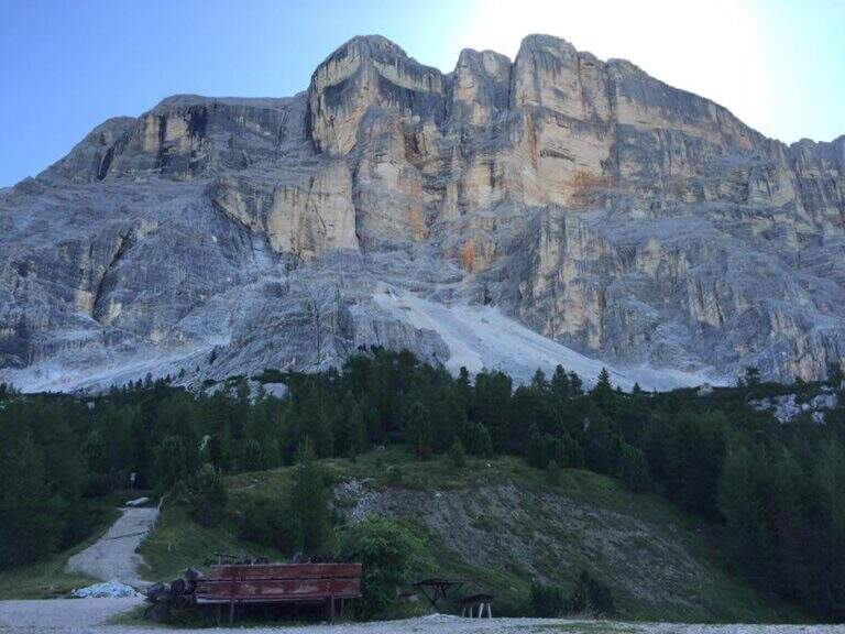
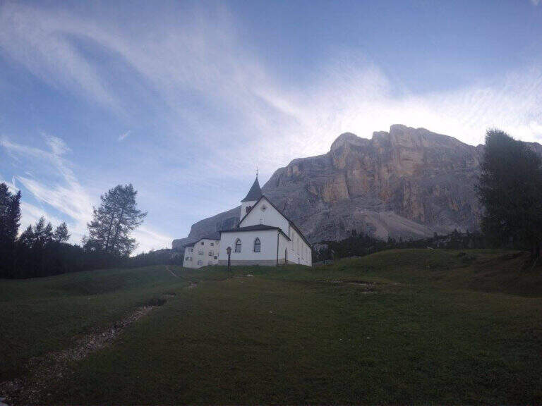
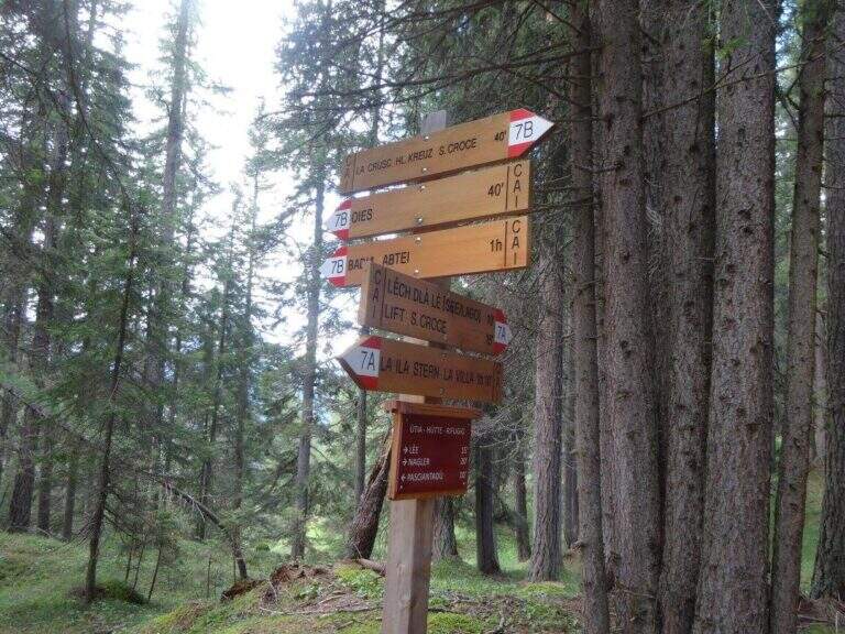
    The support is the Santa Croce refuge, on the eastern side of the Val Badia valley at the height of Badia, reachable with the chair lifts «La Crusc 1» and «La Crusc 2» or walk to the comfortable path 7 from Badia (about 1h 30'). Open road signs on Google Maps. From the mountain station (2045 m) you have in front of the imposing rampart of the Sass dla Crusc, the first destination of the day. Follow the signs 7 passing next to a white church; the path then climbs right towards the south, first sweet among the mughi and then più decided out of the wood, towards the wall. You walk under the rock along a path that takes you via più narrow and exposed: here begins the first equipped section (1h from the mountain station).

    ▲The path

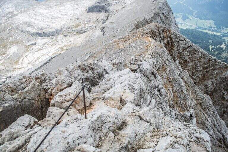
    The first cable helps on an exposed nod followed by a vertical leap; continue alternating halfway path exposed to short equipped stretches. You go up a sloped ramp with the cable on the left and you go on l' exposed path that wanders the south-west wall of the Sass dla Crusc; after a stretch of unequipped rocks you meet a equipped with two metal brackets and an easy crossing. A long nod, più narrow of the preceding, è protected by a self-insurance rope; therefore turns south for l' last stretch of path, partially equipped where it enters a steep franose canal, up to the Forcella dla Crusc (2h 30' in total). At the fork, crossroads of paths, the sinistra is held to stay on the ' plateau. You walk between stones and wreaths a po' slippery but not difficult until the Piz Zuber, then at the junction for the Sass dla Crusc (2907 m, optional but recommended deviation), and continue along the panoramic crest towards Cima Ten. Here begins the second stretch ferrato: short but very exposed, goes up the southern edge for about fifty meters of vertical rocky leaps. After the first metres, a series of più jumps is approached; marked with the cable on the left; from a panoramic balcony rises on a strong display on two challenging sections, then wanders the edge on the eastern side and you see, at about fifteen meters, the wooden cross. A few steps horizontally enters a chimney that goes up in the split, from the right to the left; the last rocks lead to the summit plateau and the croce of Cima Dieci, with a 360° view; (2h from Forcella, 4h 30' in total ). The ridge that detaches towards Cima Nove è travels from its ferrata.

    ▲Character and difficulty

    The first ferrata, the one that leads to the Forcella dla Crusc, è in the complex facile: it has three short and difficult vertical sections; techniques, while the other cables are mainly used to protect exposed paths. The Cima Ten hardware is short but intense, very exposed and with the first metà vertical and demanding.

    ⚠ Itinerary of high mountain, long and with important difference in altitude: it requires good physical form. Several stretches of path before the Forcella are exposed and not protected, not recommended to those who have no mountain or foot experience. Cima Ten requires no dizziness. The stability of the weather is fundamental: there are no real points of support and are equipped both at the beginning and at the end of the tour, to avoid with unstable weather.

    ▲History

    The Sasso della Croce è linked to the history of ' mountaineering by Reinhold Messner: in July 1968, climbing the Pillar of Mezzo with his brother Günther, he found himself in a smooth four-metre plaque from which he could not né climb né Get down. The superò, as it tells in its famous «Settimo Grado», and the attributables; an evaluation of VIII degree, until then never used; it should be remembered that the facedò with rigid sole boots.

    ▲Period and safety

    The GPS tracks (GPX and KMZ) can be downloaded from the card; the 4Land Val Badia map is useful for the area.

    ▲Discipline

    The descent takes place along the same path of the ' gone; the two equipped sections require special attention because of the eacute; downhill routes (3h from the summit, 7h 30' overall).

    ▲To match

    Hardly this tour leaves energy for a second ferrata in the day, but on several days from the Forcella dla Crusc you can climb to the Piz de Lavarella and get off towards the Sentiero Attrezzato Tru Dolomieu. In Val Badia there is Ferrata della Pace; by Corvara, on the Sella Group Ferrata at Piz de Lech and that of Vallontowards Passo Gardena la Ferrata at Gran Cir and, towards the Furcia Pass, the new Ferrata at Piz de Peres.

    ▲Gallery
    Technical data
    • DifficultyModerately Hard
    • RegionTrentino-Alto Adige
    • GroupRock of the Cross
    • Approach2:00 h
    • Ferrata0:45 h
    • Itinerary (a/r)7:30 h
    • Hardware level difference75 m
    • Route difference979 m
    • Max3026 m
    • Length16,1 Km
  • Ferrata Sass Brusai at Monte Boccaor (Grappa)

    Ferrata Sass Brusai at Monte Boccaor (Grappa)

    Vie Ferrate › Veneto › Treviso
    Ferrata Sass Brusai at Monte Boccaor (Grappa)
    Moderately Hard● OpenDescriptionComplexityMapsGallery

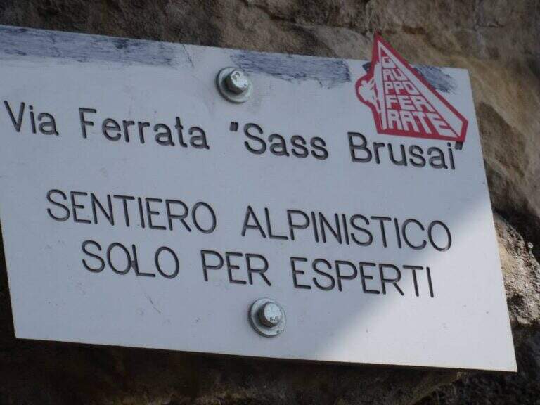
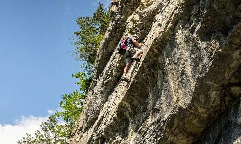
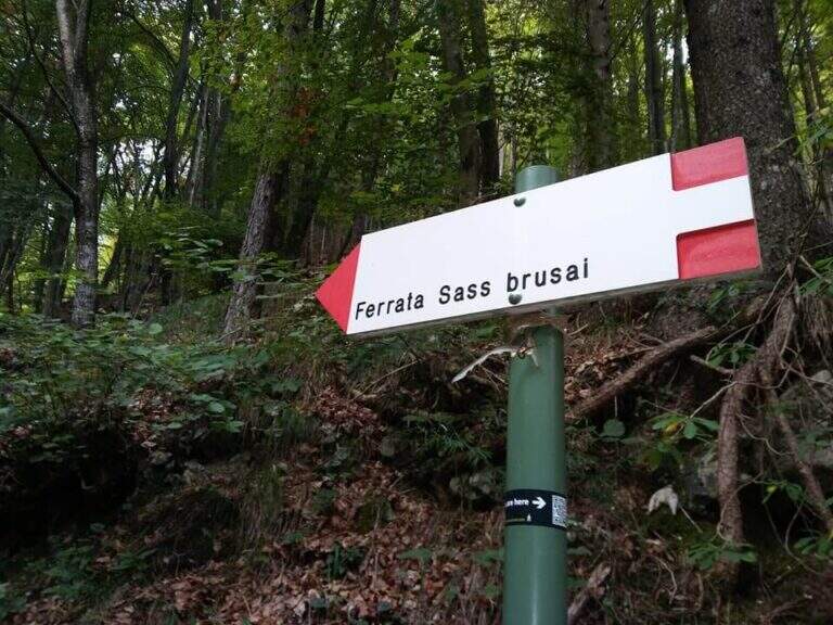
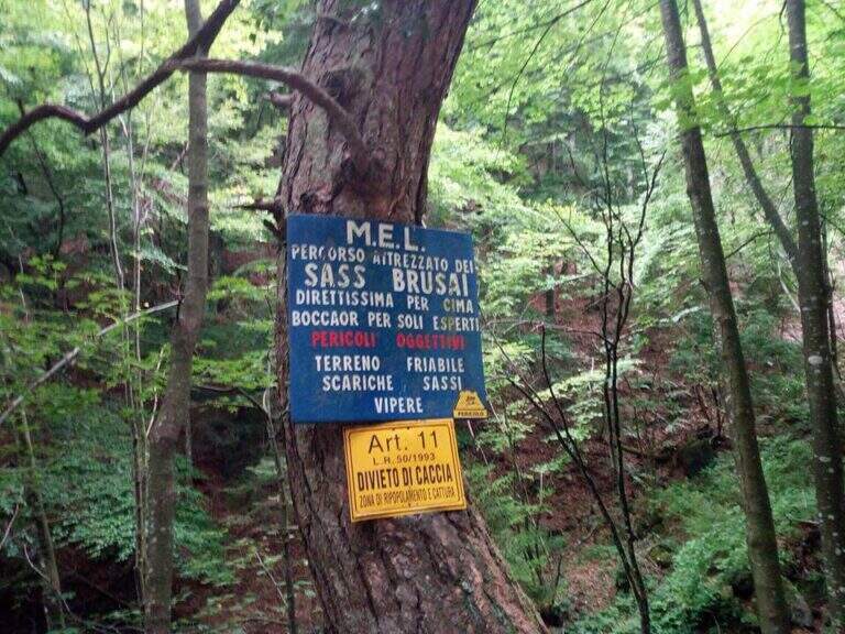
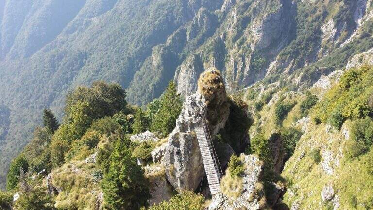
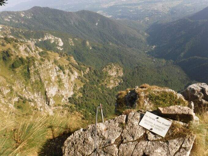
    The Ferrata Sass Brusai climbs the Monte Boccaor in the Grappa Massif: a very climbing route, with più passes; challenging places all' start and end. From the top you can può continue towards the Grappa Shrine and eventually descend from the nearby Ferrata Guzzella. Itinerary of low altitude, for long stretches of the' year.

    ▲Approach

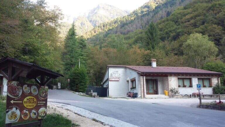
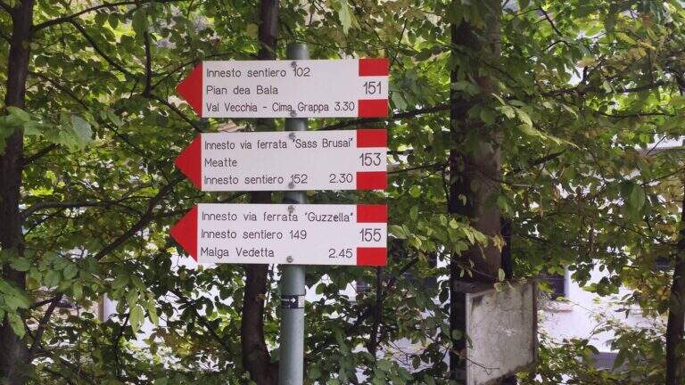
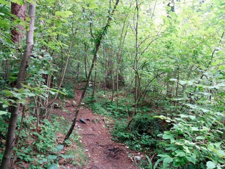
    Starting point the Val San Liberale, at l' the same restaurant, reachable from Crespano del Grappa (TV) along the SP 26: in Crespano follow the signs north to the Val San Liberale up to the ' ample parking at the restaurant (600 m). Open road signs on Google Maps. Si sale per una stradina asfaltata fino a un primo bivio (a sinistra la Ferrata Guzzella, a destra la Sass Brusai): si prosegue dritti finché l'asfalto diventa sterrato e, a un bivio segnalato (710 m, 30' dal parcheggio), si tiene la destra sul CAI 153. Per ripido sentiero nel bosco, seguendo i bolli rossi, si arriva a un bivio dove a sinistra si raggiunge l'attacco (1160 m, 1h 15' dal parcheggio).

    ▲The path

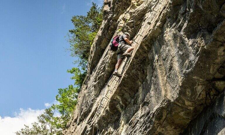
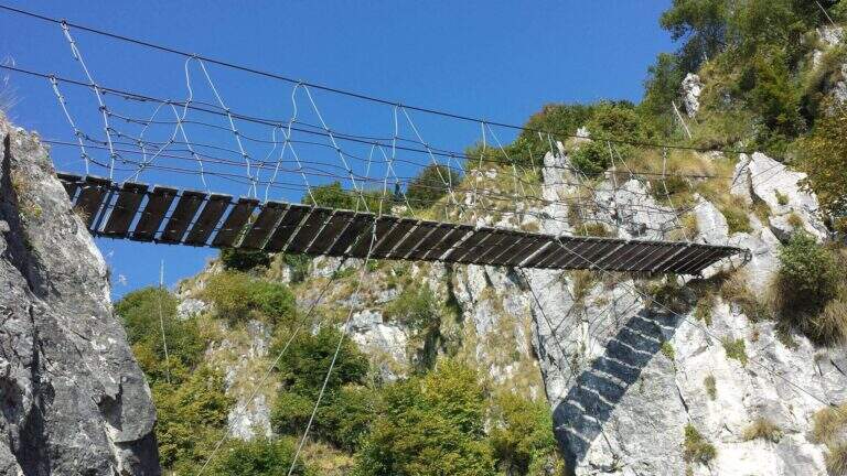
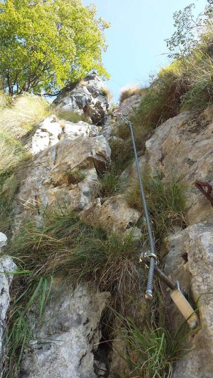
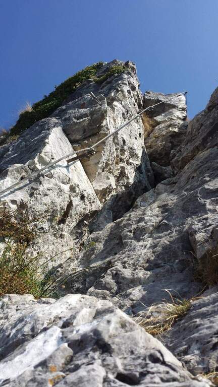
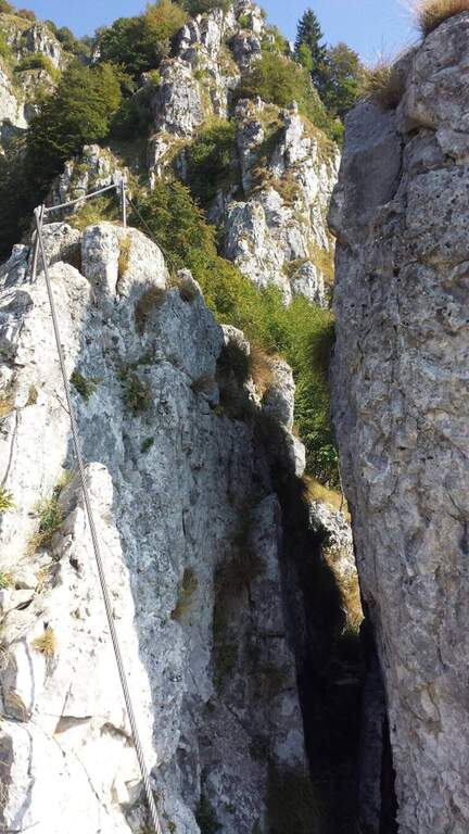
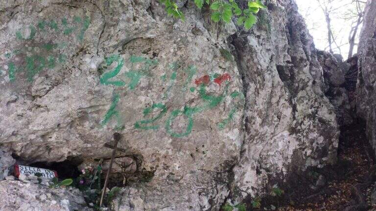
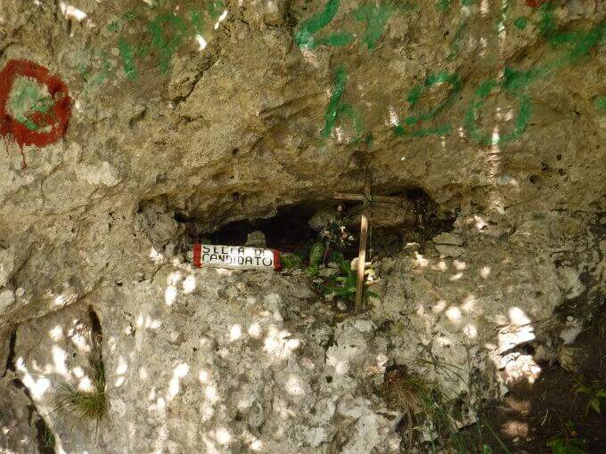
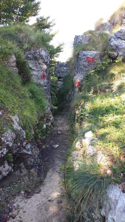
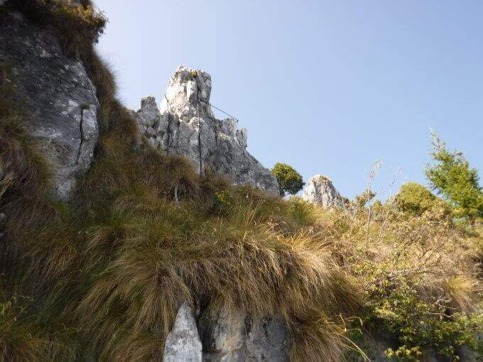
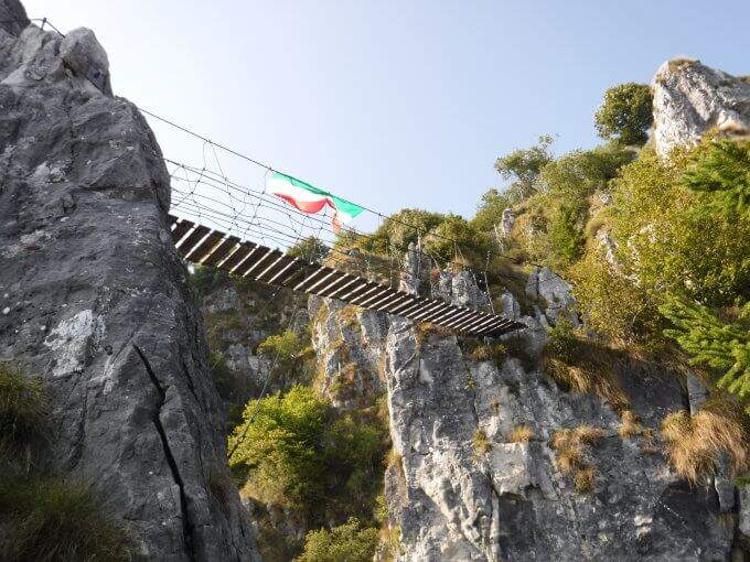
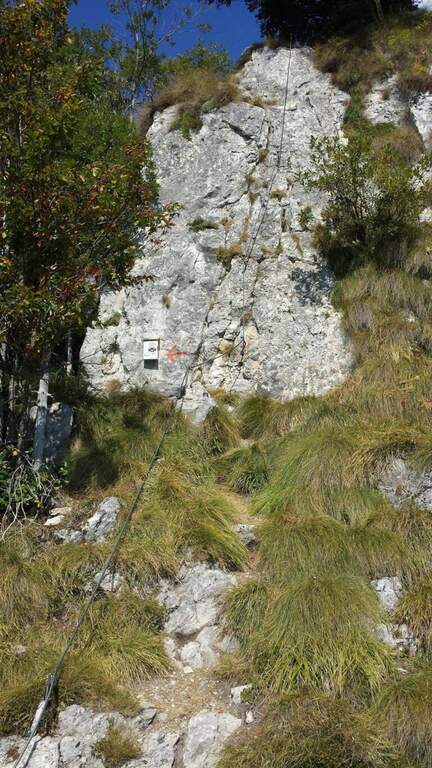
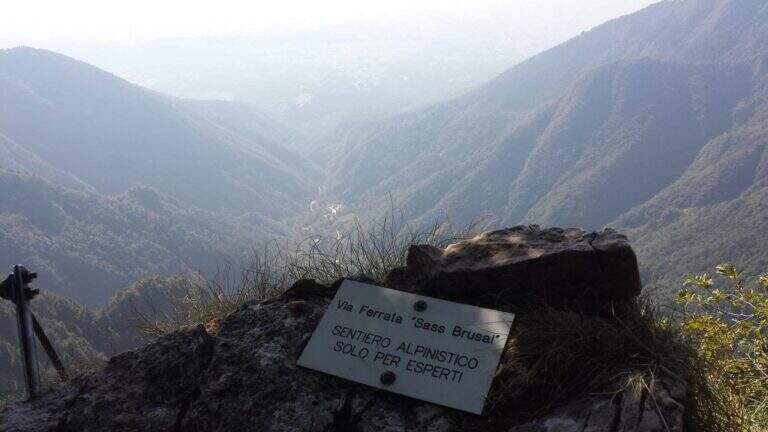
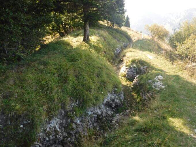
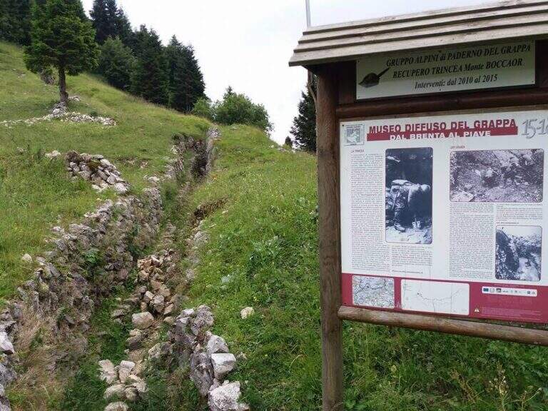
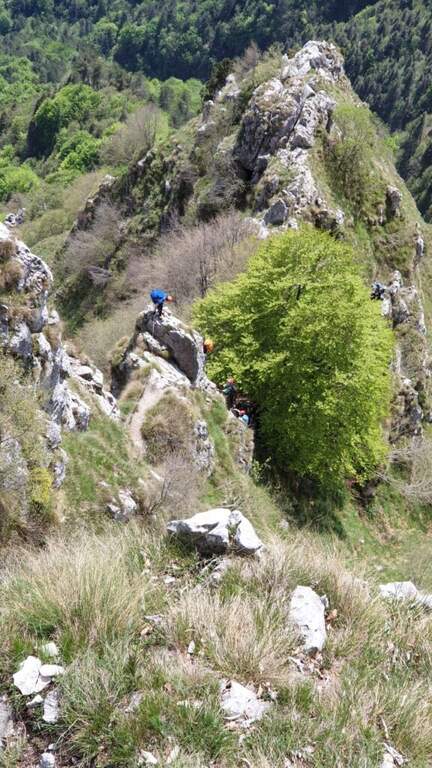
    Dal balconcino d'attacco si salgono alcune roccette a sinistra della targa e si entra nella prima sezione: una parete di una quindicina di metri che in alto prende la forma di un camino, molto piacevole su roccia frastagliata e ricca di appoggi. Usciti dal camino, un paio di balzi su fondo misto roccia-erba (attenzione se umido) e una breve cengia introducono un tratto di sentiero. La seconda sezione risale una cresta di ampi blocchi, tenendosi sul lato sinistro, con basso senso di esposizione per gli alberi circostanti; seguono sentiero erboso e facili balzi attrezzati. La terza sezione sale una costola rocciosa, ben gradonata in basso e più tecnica in alto, dove una fessura e un paio di sporgenze obbligano a procedere in spaccata sul versante opposto alla fune; poi una paretina ben appigliata, una placca e un camino (anch'esso in spaccata) si aprono sulla vista del Monte Grappa. Tra risalti, cenge erbose attrezzate e facili balzi si raggiunge la forcellina «Sella del Candidato» (1345 m, 45' dall'attacco). Oltre la sella due passaggi impegnativi e verticali: una prima parete levigata (possibile qualche trazione sul cavo) e, dopo un collegamento, una nuova paretina esposta presso la cresta. Si prosegue su cresta esposta ma più facile, si risale uno sperone (una rara staffa metallica aiuta dove mancano appigli) e si aggira uno spigolo; una lunga costola, gradoni rocciosi e una placchetta di 6 m portano a un sentiero attrezzato, un balzo e un canalino. Dopo un lungo collegamento si ignora la deviazione per il CAI 152 (1455 m, 1h 15' dall'attacco) e si sale al ponte sospeso: si rimonta il gendarme su placca liscia, lo si aggira a destra e si attraversa il ponte su solide assi (sul versante opposto, a sinistra, una via di fuga verso la strada). Si prosegue a destra: alcune roccette, poi un tratto esposto più impegnativo sotto un gendarme con pochi appigli, una spaccatura da attraversare in spaccata e una cresta appoggiata dove il cavo fa quasi da corrimano. L'ultimo passaggio è una parete di una decina di metri arrampicabile (aggirabile seguendo la freccia rossa presso il libro di via); al termine della placca finiscono le attrezzature e, seguendo la traccia parallela a una vecchia trincea, si raggiunge la vetta del Boccaor (1532 m, 1h 45' dall'attacco / 3h dal parcheggio).

    ▲Character and difficulty

    The most challenging passages are on the first and last wall. Fatious approach and short return to account.

    ⚠ Low altitude and exposure to south: prohibitive in the più months; warm. Beware of unprotected traits with grassy background, which tends to be slippery.
    ▲Period and safety

    Maximum altitude 1532 m: for good part of the year, but to avoid on hot summer days for exposure to the south.

    ▲Discipline

    Dalla vetta si seguono le indicazioni a sinistra per Pian della Bala (1380 m), dove ancora a sinistra si prende il sentiero 151 che scende fino al bivio incontrato all'andata e quindi al parcheggio (1h 30' dal termine / 4h 30' totali).

    ▲To match

    Experts can close a more challenging ring with the neighbor Ferrata Guzzella (preferable downhill, to avoid the many unprotected and slippery sections of Sass Brusai). Near Grappa also athletics Ferrata Santa Felicita; in Val d'Astico the recent Ferrata Anelli delle Anguane; towards the Dolomites Feltrine la Ferrata at Monte Coppolo.

    ▲Gallery
    Technical data
    • DifficultyModerately Hard
    • RegionVeneto
    • GroupGrappa Massif
    • Approach1:15 h
    • Ferrata1:45 h
    • Itinerary (a/r)4:30 h
    • Hardware level difference450 m
    • Route difference905 m
    • Max1532 m
    • Length10 Km
Need help? Write to us!